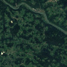
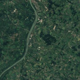
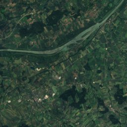
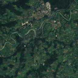
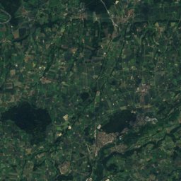
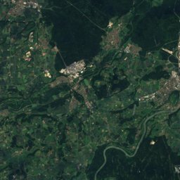
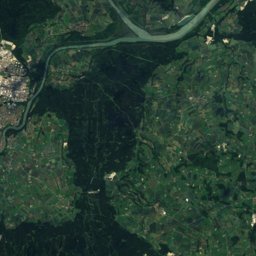
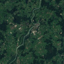
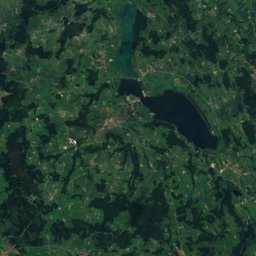
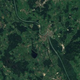
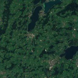
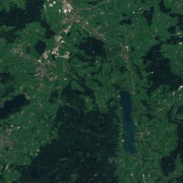
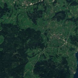
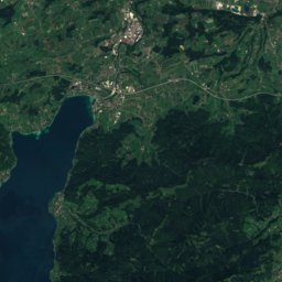
Satellite: Sentinel-2 cloudless 2016 by EOX IT Services GmbH · CC BY 4.0 · Contains modified Copernicus Sentinel data 2016
Outdoor activitiesHandenberg
Outdoors near Handenberg
within 15 km30places
Viewpoints20
Camp sites7
48.13° N, 13.01° EElevation 496 mUTC+2 · Central European Summer Time
When to goHandenberg · weather score
Best timeJul–Sep
October: high / low14° / 6°
Viewpoints
| Name | Nearby | Details |
|---|---|---|
| Castell-Höhe | 13.8 km | 590 m |
| Panorama von Kirchberg bei Mattighofen und Alpenvorland | 12.5 km | 588 m |
| Marienrast im Himmelreich | 7.5 km | |
| Friedenspanorama | 8.2 km | |
| Schlossberg | 8.3 km | |
| Aussichtspunkt Ibmer Moor | 9.7 km | |
| Inn-Salzach-Blick | 9.7 km | |
| Moorblick | 13 km | |
| Aussichtsturm Weidmoos | 13 km | |
| Aussichtsplatz | 13 km | |
| Salzachblick | 13 km | |
| Vogelbeobachtungsstand | 13.1 km |
Camp sites
Golf courses
Climbing
| Name | Nearby | Details |
|---|---|---|
| DAV Kletterhalleclimbing gym | 13.4 km | Website |
Ski areas
Places come from an open map made by volunteers: well-known sites are there, small or new ones may be missing. Opening times and prices change, so check before you go.