


Algeria
Tlemcen
Tlemcen is one of the 58 regions of Algeria; its largest place is Tlemcen.
Best timeMay · Oct–Nov
Best weather in OctoberTlemcen 92
October: highs23° – 27°
Rain this month, on average31mm
Mean of its 15 best-known places. Best: May · Oct–Nov.
Tlemcen at a glance
The atlas follows 179 places here month by month, with 2 mountains and 12 monuments; across the most visited of them, the best months are May, October and November.
When to go to Tlemcen
The best places of every month here, and the average climate of the best-known ones.
| Jan | Feb | Mar | Apr | May | Jun | Jul | Aug | Sep | Oct | Nov | Dec | |
|---|---|---|---|---|---|---|---|---|---|---|---|---|
| Score | 72 | 83 | 76 | 82 | 86 | 76 | 61 | 61 | 71 | 89 | 89 | 74 |
| High | 16° | 17° | 19° | 21° | 25° | 29° | 33° | 34° | 29° | 25° | 20° | 16° |
| Low | 4° | 5° | 7° | 8° | 12° | 15° | 19° | 19° | 16° | 13° | 8° | 5° |
| Rain (mm) | 48 | 47 | 52 | 37 | 32 | 9 | 3 | 5 | 20 | 31 | 46 | 36 |
Places in Tlemcen
The best-known places with their score this month; every town and village is in the A to Z list below.
 92October
Tlemcen
174k people
24° / 11°34 mm
92OctoberMansoûra
52k people
23° / 10°38 mm
87OctoberMaghnia
87k people
26° / 13°27 mm
91OctoberNedroma
28k people
25° / 13°29 mm
92OctoberSebdou
33k people
23° / 11°27 mm
 86October
Remchi
32k people
26° / 14°29 mm
 92October
Beni Mester
20k people
25° / 11°39 mm
90October
Chetouane
37k people
26° / 12°32 mm
20 districts, each with all of its towns and villages
Ain Tellout2 places · Beni Znassene

Bab El Assa12 places · Bab El Assa
Beni Boussaid8 places · Sidi Medjahed
Beni Snous12 places · Beni Bahdel
Bensekrane5 places · 52k · Sidi Abdelli
Chetouane8 places · 37k · Chetouane

Daïra de Ghazaouet29 places · 28k · Ghazaouet

Daïra de Maghnia10 places · 87k · Maghnia

Daïra de Sebdou7 places · 33k · Sebdou
Daïra de Tlemcen2 places · Sidi Boû Mediene
Fellaoucene5 places · Ouled Rihana
Hennaya11 places · 27k · Hennaya
Honnaine11 places · Honaïne tadjeras

Mansourah6 places · 72k · Mansoûra
Marsa Ben Mehdi11 places · Ouled Mohammed Bouya’koûb

Nedroma15 places · 28k · Nedroma
Ouled Mimoun8 places · 25k · Ouled Mimoun

Remchi12 places · 32k · Remchi
Sabra2 places · Sabra
Sidi Djillali2 places · Sidi Djillali
More towns and villages of Tlemcen · 1
Tlemcen from above
Every place scored for the month you pick: comfortable temperatures, dry days and clear skies.
OctoberMonth scores for Tlemcen

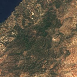
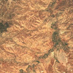
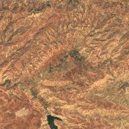
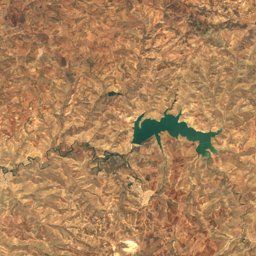
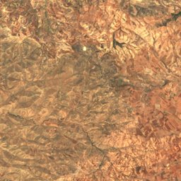
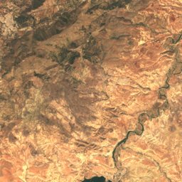
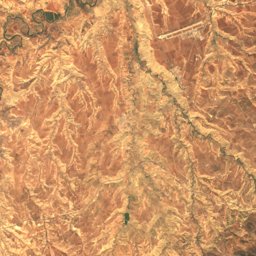
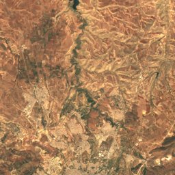
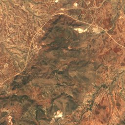
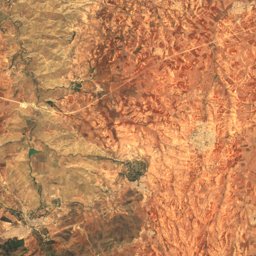
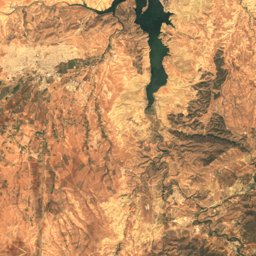
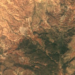
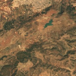
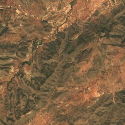
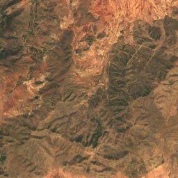
Satellite: Sentinel-2 cloudless 2016 by EOX IT Services GmbH · CC BY 4.0 · Contains modified Copernicus Sentinel data 2016
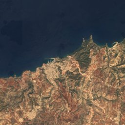
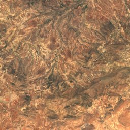
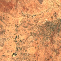
Satellite: Sentinel-2 cloudless 2016 by EOX IT Services GmbH · CC BY 4.0 · Contains modified Copernicus Sentinel data 2016
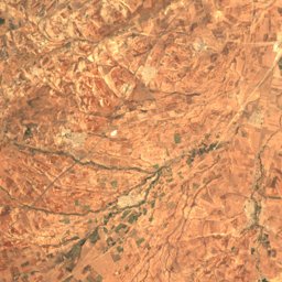
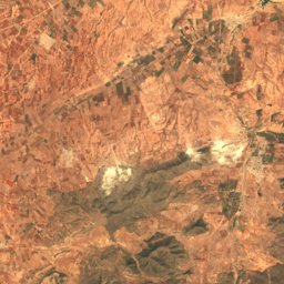
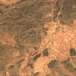
Satellite: Sentinel-2 cloudless 2016 by EOX IT Services GmbH · CC BY 4.0 · Contains modified Copernicus Sentinel data 2016
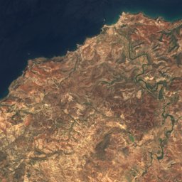
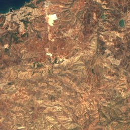
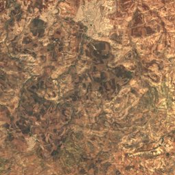
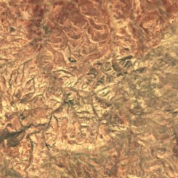
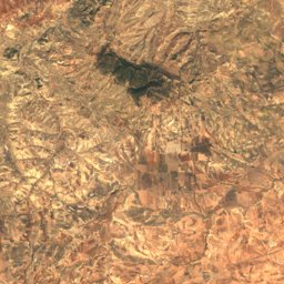
Satellite: Sentinel-2 cloudless 2016 by EOX IT Services GmbH · CC BY 4.0 · Contains modified Copernicus Sentinel data 2016
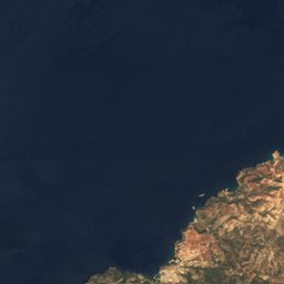
Satellite: Sentinel-2 cloudless 2016 by EOX IT Services GmbH · CC BY 4.0 · Contains modified Copernicus Sentinel data 2016

Photo: habib kaki 2 from Zeralda · Public domain · Wikimedia CommonsReport this photo · linked, not stored
Photo: habib kaki 2 from Zeralda · Public domain · Wikimedia CommonsReport this photo · linked, not stored
Nature in Tlemcen
Summit1,136 m
TraraSummit444 m
Nemours-Nedroma
National park
Tlemcen National Park
Waterfall
El-Ourit Waterfalls
Cave
Beni Add Caves
Cave
Ghar BoumâazaWildlife in October
The birds and mammals of Algeria seen most this month, compared with the rest of their year.


Outdoors in Tlemcen
Culture in Tlemcen


What's on in Tlemcen
Getting to Tlemcen
Zenata – Messali El Hadj AirportTLM · Tlemcen
20 kmOujda Angads AirportOUD · Tlemcen
57 kmOran Es-Sénia (Ahmed Ben Bella) International AirportORN · Tlemcen
104 kmTlemcenTlemcen
1.5 kmMaghniaMaghnia
0.8 kmGhazaouetNedroma
14 kmZalbounBeni Mester
1.9 kmGhazaouetPuerto Comercial de Almería
0.8 kmTowns in Tlemcen from A to Z
The 15 main places; every village is listed on its district's page.
Other regions of Algeria
Adrar94Aïn Defla507Aïn Témouchent93Algiers82Annaba48Batna261Béchar26Béjaïa299Beni Abbes25Biskra91Blida74Bordj Badji Mokhtar2Bordj Bou Arréridj167Bouira148Boumerdes174Chlef574Constantine64Djanet9Djelfa64El Bayadh29El Menia2El Mghair21El Oued50El Tarf67Ghardaia13Guelma98Illizi9In Guezzam2In Salah12Jijel144Khenchela67Laghouat28M'Sila250Mascara577Medea516Mila104Mostaganem361Naama18Oran97Ouargla20Ouled Djellal6Oum el Bouaghi123Relizane724Saida51Sétif317Sidi Bel Abbès78Skikda149Souk Ahras71Tamanrasset24Tébessa116Tiaret293Timimoun78Tindouf4Tipaza177Tissemsilt52Tizi Ouzou357Touggourt24