Przyroda
Woda, lód i dzika przyroda Jamajki
Jeziora, wodospady, lodowce, parki narodowe i schroniska górskie – każde z położeniem, wielkością i pogodą w pobliskich miejscowościach.
Wodospady2z własną stroną
Parki narodowe1z własną stroną
Plaże19z własną stroną
Wyspy56z własną stroną

Zdjęcie: gailf548 from New York State, USA · CC BY 2.0 · Wikimedia CommonsZgłoś to zdjęcie · wyświetlane przez odnośnik, nie kopiowane
Wodospady
Wodospady Jamajki

Zdjęcie: gailf548 from New York State, USA · CC BY 2.0 · Wikimedia CommonsZgłoś to zdjęcie · wyświetlane przez odnośnik, nie kopiowane
Mayfield Falls
Cascade, Hanover
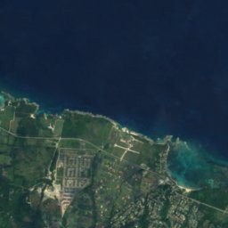



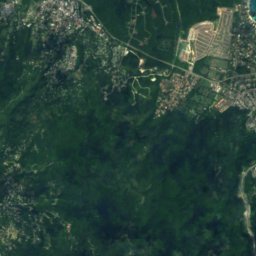
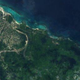
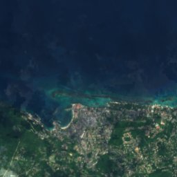
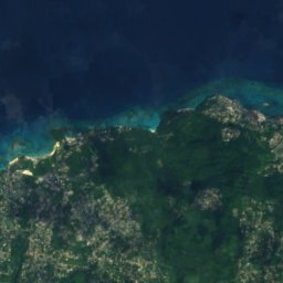
Satelita: Sentinel-2 cloudless 2016 – EOX IT Services GmbH · CC BY 4.0 · Zawiera zmodyfikowane dane Copernicus Sentinel (2016)
Llandovery Falls
Ocho Rios, Saint Ann Parish
Parki narodowe
Parki narodowe Jamajki

Zdjęcie: Wolmadrian · Public domain · Wikimedia CommonsZgłoś to zdjęcie · wyświetlane przez odnośnik, nie kopiowane
Park Narodowy Gór Błękitnych i John Crow
Mavis Bank, Saint Andrew Parish
1224 km²
Plaże
Plaże Jamajki

Zdjęcie: JohannVanbeek · CC BY-SA 3.0 · Wikimedia CommonsZgłoś to zdjęcie · wyświetlane przez odnośnik, nie kopiowane
Hedonism Resorts
Little London, Westmoreland

Zdjęcie: 38chad · CC BY-SA 3.0 · Wikimedia CommonsZgłoś to zdjęcie · wyświetlane przez odnośnik, nie kopiowane
Reggae Beach
Ocho Rios, Saint Ann Parish

Zdjęcie: Ikaros1975 · CC BY-SA 3.0 · Wikimedia CommonsZgłoś to zdjęcie · wyświetlane przez odnośnik, nie kopiowane
Treasure Beach
Southfield, St. Elizabeth

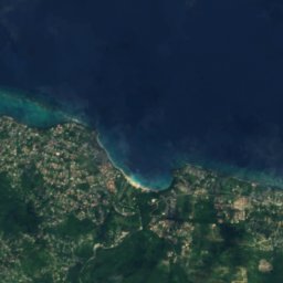
Satelita: Sentinel-2 cloudless 2016 – EOX IT Services GmbH · CC BY 4.0 · Zawiera zmodyfikowane dane Copernicus Sentinel (2016)
James Bond Beach
Ocho Rios, Saint Ann Parish
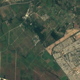
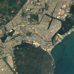
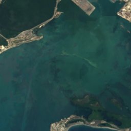
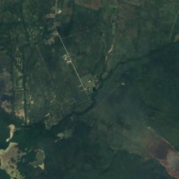
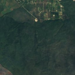
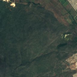
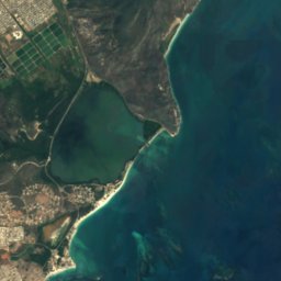
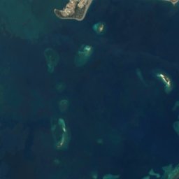
Satelita: Sentinel-2 cloudless 2016 – EOX IT Services GmbH · CC BY 4.0 · Zawiera zmodyfikowane dane Copernicus Sentinel (2016)
Hellshire Beach
Port Royal, Kingston
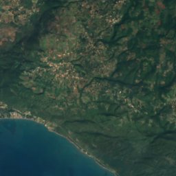
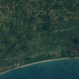
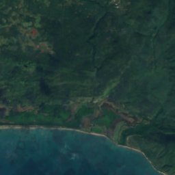
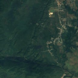
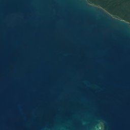
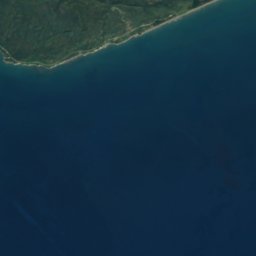

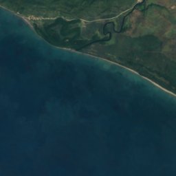
Satelita: Sentinel-2 cloudless 2016 – EOX IT Services GmbH · CC BY 4.0 · Zawiera zmodyfikowane dane Copernicus Sentinel (2016)
Long Bay Beach
Alligator Pond, Manchester
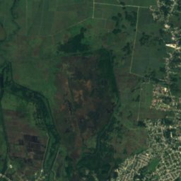
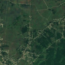
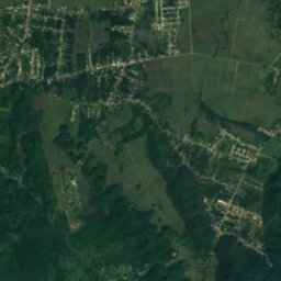
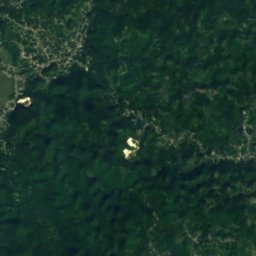
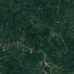
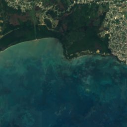
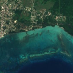
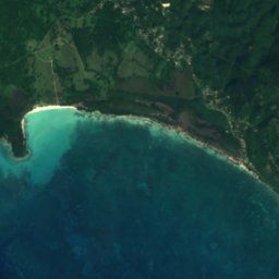
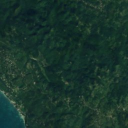

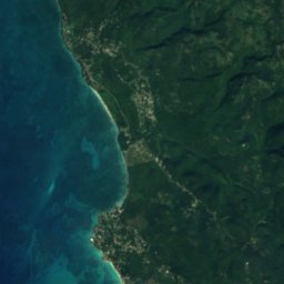
Satelita: Sentinel-2 cloudless 2016 – EOX IT Services GmbH · CC BY 4.0 · Zawiera zmodyfikowane dane Copernicus Sentinel (2016)
Bluefields Beach
Bluefields, Westmoreland





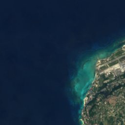
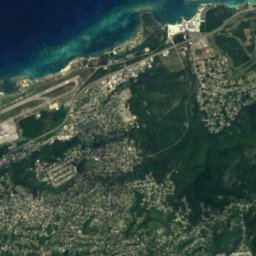
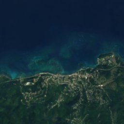
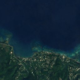
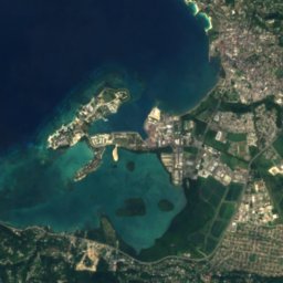
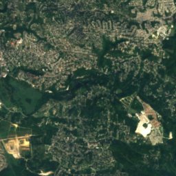
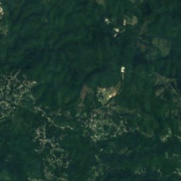
Satelita: Sentinel-2 cloudless 2016 – EOX IT Services GmbH · CC BY 4.0 · Zawiera zmodyfikowane dane Copernicus Sentinel (2016)
Doctor's Cave Beach Club
Montego Bay, Saint James Parish

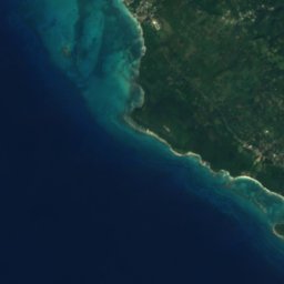
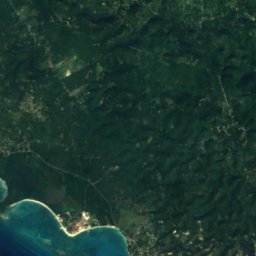


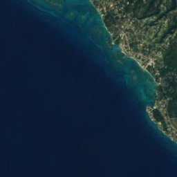
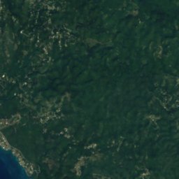
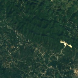



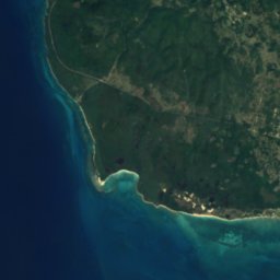
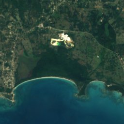
Satelita: Sentinel-2 cloudless 2016 – EOX IT Services GmbH · CC BY 4.0 · Zawiera zmodyfikowane dane Copernicus Sentinel (2016)
Font Hill Beach
Whitehouse, Westmoreland
Pełna lista (19): plaże
Wyspy
Wyspy Jamajki

Zdjęcie: Earth Science and Remote Sensing Unit, Lyndon B. Johnson Space Center · Public domain · Wikimedia CommonsZgłoś to zdjęcie · wyświetlane przez odnośnik, nie kopiowane
Jamaica
Spanish Town, Saint Catherine Parish

Zdjęcie: Chad Sparkes from Kissimmee,Florida, United States · CC BY 2.0 · Wikimedia CommonsZgłoś to zdjęcie · wyświetlane przez odnośnik, nie kopiowane
Bush Cay
Falmouth, Trelawny Parish

Zdjęcie: Kaldari · CC0 · Wikimedia CommonsZgłoś to zdjęcie · wyświetlane przez odnośnik, nie kopiowane
Pellen Island
Port Antonio, Portland Parish





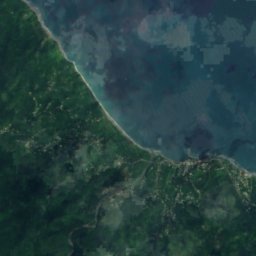
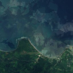
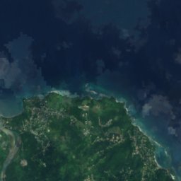


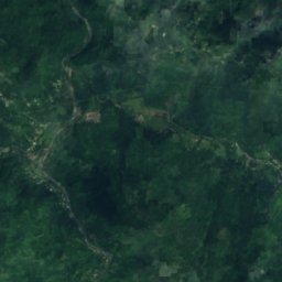
Satelita: Sentinel-2 cloudless 2016 – EOX IT Services GmbH · CC BY 4.0 · Zawiera zmodyfikowane dane Copernicus Sentinel (2016)
Navy Island, Jamaica
Port Antonio, Portland Parish





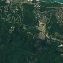
Satelita: Sentinel-2 cloudless 2016 – EOX IT Services GmbH · CC BY 4.0 · Zawiera zmodyfikowane dane Copernicus Sentinel (2016)
Sandals Cay
Montego Bay, Saint James Parish
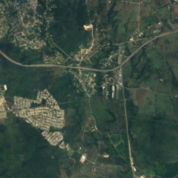
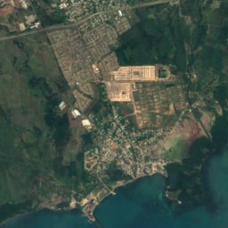
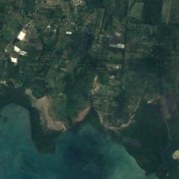
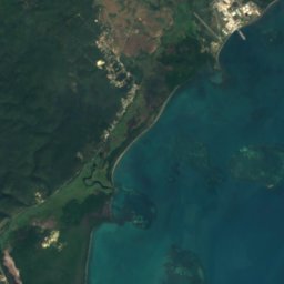
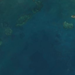
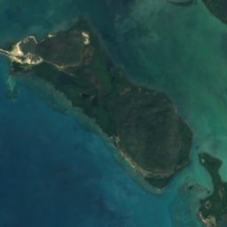
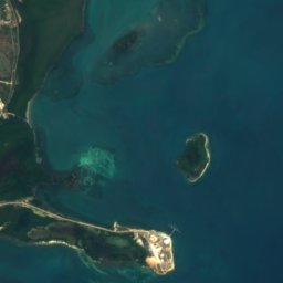

Satelita: Sentinel-2 cloudless 2016 – EOX IT Services GmbH · CC BY 4.0 · Zawiera zmodyfikowane dane Copernicus Sentinel (2016)
Great Goat Island
Old Harbour Bay, Saint Catherine Parish
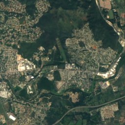
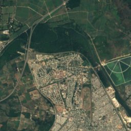
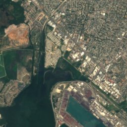
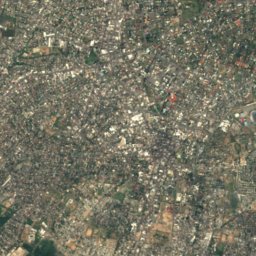
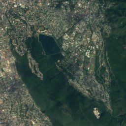
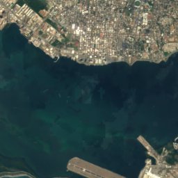
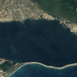
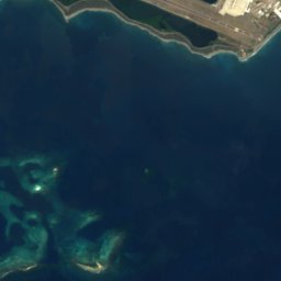
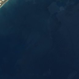
Satelita: Sentinel-2 cloudless 2016 – EOX IT Services GmbH · CC BY 4.0 · Zawiera zmodyfikowane dane Copernicus Sentinel (2016)
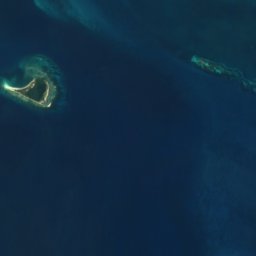
Lime Cay
Port Royal, Kingston
13 m


Satelita: Sentinel-2 cloudless 2016 – EOX IT Services GmbH · CC BY 4.0 · Zawiera zmodyfikowane dane Copernicus Sentinel (2016)
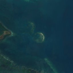
Maiden Cay
Port Royal, Kingston
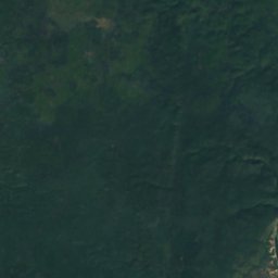
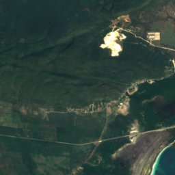
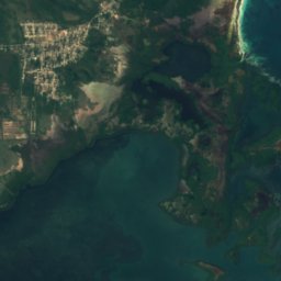

Satelita: Sentinel-2 cloudless 2016 – EOX IT Services GmbH · CC BY 4.0 · Zawiera zmodyfikowane dane Copernicus Sentinel (2016)
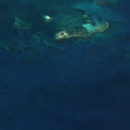
Pigeon Island
Old Harbour Bay, Saint Catherine Parish
Pełna lista (56): wyspy
- Alligator Reef
- Bare Bush Cay
- Barrack Reef
- Biddlecombe Shoal
- Big Half Moon Cay
- Big Pelican Island
- Boat Stag Reef
- Bogue Islands
- Booby Cay
- Bore Island
- Bush Cay
- Bush Reef
- Cabarita Island
- Dead Man's Bones
- Doctor Reef
- Dolphin Island
- Drunkenmans Cay
- East Middle Ground
- Great Breaker
- Great Goat Island
- Green Island
- Hogsty Cay
- Inner Barrack Reefs
- Jamaica
- Lee Reef
- Lilyroot Cay
- Lime Cay
- Lime Cay Shoal
- Little Half Moon Cay
- Little Pelican Island
- Little Reef
- Long Reef, St. Elizabeth
- Long Reef, St. Elizabeth
- Maiden Cay
- Mango Cay
- Moor Reef
- Mother Gun Reef
- Navy Island, Jamaica
- One Bush Cay
- Pellen Island
- Pigeon Island
- Portland Cay
- Rackhams Cay
- Ravient Reef
- Salt Island
- Sandals Cay
- Sandy Reef
- South Cay, Kingston
- South East Cay
- South Knolls
- Style Reef
- Tamarind Reef
- Tern Cay
- Tower Isle
- Turtle Head Shoal
- Wreck Reef
Jaskinie
Jaskinie Jamajki

Zdjęcie: Dr. Thomas Liptak · CC BY-SA 4.0 · Wikimedia CommonsZgłoś to zdjęcie · wyświetlane przez odnośnik, nie kopiowane
Green Grotto Caves
Discovery Bay, Saint Ann Parish

Zdjęcie: Ian mckenzie (talk) · CC BY-SA 3.0 · Wikimedia CommonsZgłoś to zdjęcie · wyświetlane przez odnośnik, nie kopiowane
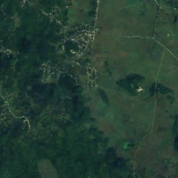
Coffee River Cave
Balaclava, St. Elizabeth
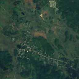
Satelita: Sentinel-2 cloudless 2016 – EOX IT Services GmbH · CC BY 4.0 · Zawiera zmodyfikowane dane Copernicus Sentinel (2016)
Windsor Great Cave
Sherwood Content, Trelawny Parish
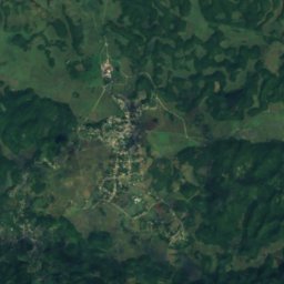
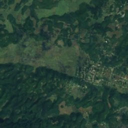
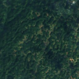
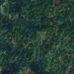
Satelita: Sentinel-2 cloudless 2016 – EOX IT Services GmbH · CC BY 4.0 · Zawiera zmodyfikowane dane Copernicus Sentinel (2016)
Belmont Cave
Ulster Spring, Trelawny Parish
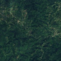
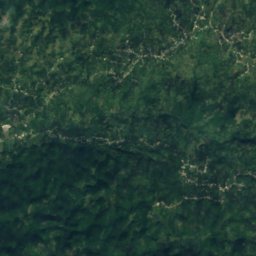
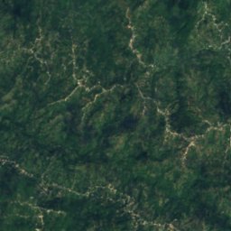
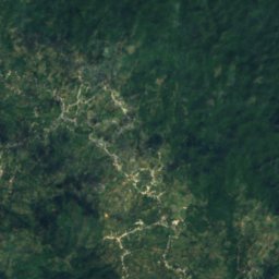
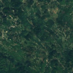
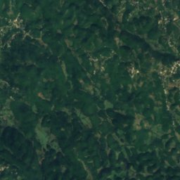
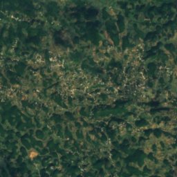
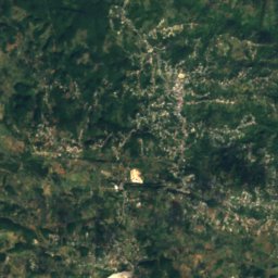
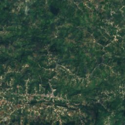
Satelita: Sentinel-2 cloudless 2016 – EOX IT Services GmbH · CC BY 4.0 · Zawiera zmodyfikowane dane Copernicus Sentinel (2016)
Gourie Cave
Coleyville, Manchester
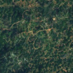
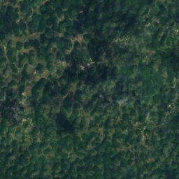
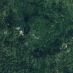
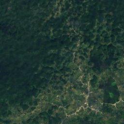
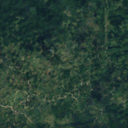
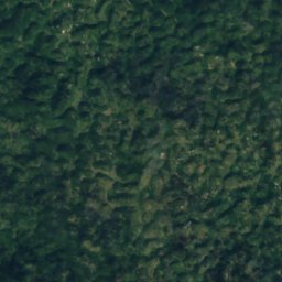
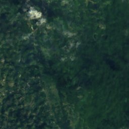
Satelita: Sentinel-2 cloudless 2016 – EOX IT Services GmbH · CC BY 4.0 · Zawiera zmodyfikowane dane Copernicus Sentinel (2016)
Hutchinson's Hole
Kellits, Clarendon
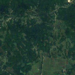
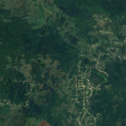
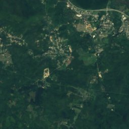
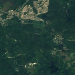
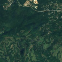
Satelita: Sentinel-2 cloudless 2016 – EOX IT Services GmbH · CC BY 4.0 · Zawiera zmodyfikowane dane Copernicus Sentinel (2016)
Long Mile Cave
Sherwood Content, Trelawny Parish
Satelita: Sentinel-2 cloudless 2016 – EOX IT Services GmbH · CC BY 4.0 · Zawiera zmodyfikowane dane Copernicus Sentinel (2016)
Bad Hole Cave
Sherwood Content, Trelawny Parish
Satelita: Sentinel-2 cloudless 2016 – EOX IT Services GmbH · CC BY 4.0 · Zawiera zmodyfikowane dane Copernicus Sentinel (2016)
Carambie Cave
Albert Town, Trelawny Parish
Rzeki
Rzeki Jamajki

Zdjęcie: Johannes49 at English Wikipedia · CC BY-SA 3.0 · Wikimedia CommonsZgłoś to zdjęcie · wyświetlane przez odnośnik, nie kopiowane
Black River
Black River, St. Elizabeth

Zdjęcie: Michael L. Dorn · CC BY-SA 2.0 · Wikimedia CommonsZgłoś to zdjęcie · wyświetlane przez odnośnik, nie kopiowane
Rio Grande
Bath, Saint Thomas Parish

Zdjęcie: Ufos8mycow00 · CC BY-SA 3.0 · Wikimedia CommonsZgłoś to zdjęcie · wyświetlane przez odnośnik, nie kopiowane
Y.S. River
Black River, St. Elizabeth

Zdjęcie: Katinka Zuchowicz Photography · CC BY-SA 3.0 · Wikimedia CommonsZgłoś to zdjęcie · wyświetlane przez odnośnik, nie kopiowane
White River
Ocho Rios, Saint Ann Parish
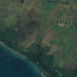
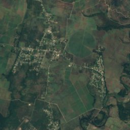
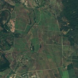


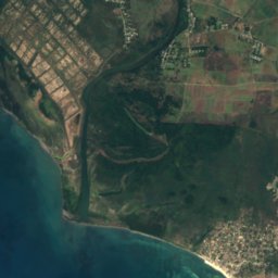
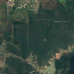



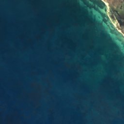
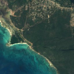
Satelita: Sentinel-2 cloudless 2016 – EOX IT Services GmbH · CC BY 4.0 · Zawiera zmodyfikowane dane Copernicus Sentinel (2016)
Rio Minho
Rocky Point, Clarendon
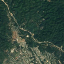
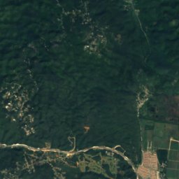
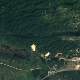
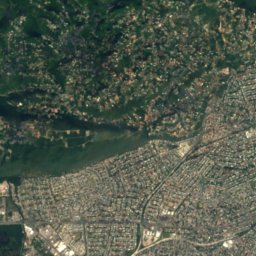
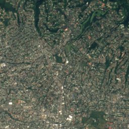
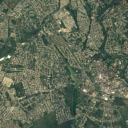
Satelita: Sentinel-2 cloudless 2016 – EOX IT Services GmbH · CC BY 4.0 · Zawiera zmodyfikowane dane Copernicus Sentinel (2016)
Rio Cobre
Portmore, Saint Catherine Parish
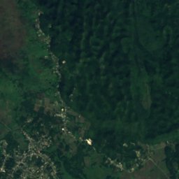
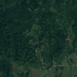
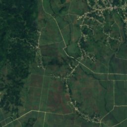
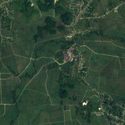
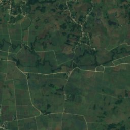
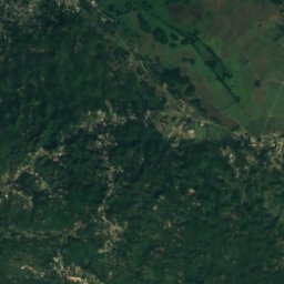
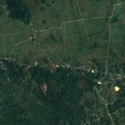
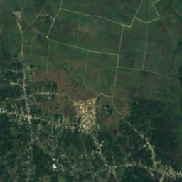
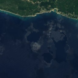
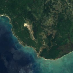
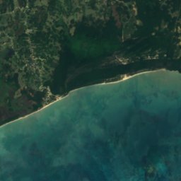
Satelita: Sentinel-2 cloudless 2016 – EOX IT Services GmbH · CC BY 4.0 · Zawiera zmodyfikowane dane Copernicus Sentinel (2016)
Cabarita River
Savanna-la-Mar, Westmoreland





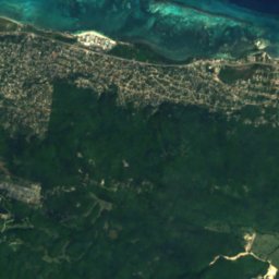
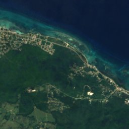
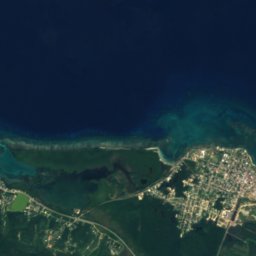
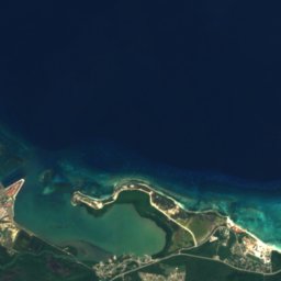
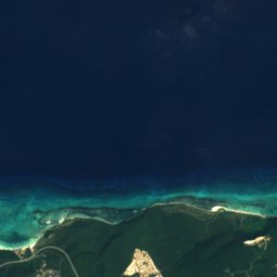
Satelita: Sentinel-2 cloudless 2016 – EOX IT Services GmbH · CC BY 4.0 · Zawiera zmodyfikowane dane Copernicus Sentinel (2016)
Martha Brae
Falmouth, Trelawny Parish


Satelita: Sentinel-2 cloudless 2016 – EOX IT Services GmbH · CC BY 4.0 · Zawiera zmodyfikowane dane Copernicus Sentinel (2016)
Plantain Garden River
Moore Town, Portland Parish
Pełna lista (49): rzeki
- Alligator Hole River
- Annotto River
- Back River
- Black River
- Broad River
- Buff Bay River
- Cabarita River
- Cane River
- Cave River
- Coleburns Gully
- Dry River
- Ferry River
- Great River
- Guava River
- Gut River
- Hectors River
- Hope River
- Juan de Bolas River
- Lucea East River
- Lucea West River
- Martha Brae
- Milk River
- Montego River
- Morant River
- New Savannah River
- One Eye River
- Oracabessa River
- Otram River
- Pagee River
- Plantain Garden River
- Rio Bueno
- Rio Cobre
- Rio Doro
- Rio Grande
- Rio Magno
- Rio Minho
- Rio Nuevo
- Rio Pedro
- Salt River
- Smith River
- South Negril River
- Spanish River
- Sweet River
- Swift River
- Thicket River
- Wag Water River
- White River
- Y.S. River
- Yallahs River