Nature
Eaux, glaces et grands espaces de Jamaïque
Lacs, cascades, glaciers, parcs nationaux et refuges de montagne, chacun avec sa situation, sa taille et la météo des localités voisines.
Cascades2ayant leur page
Parcs nationaux1ayant leur page
Plages19ayant leur page
Îles56ayant leur page

Photo : gailf548 from New York State, USA · CC BY 2.0 · Wikimedia CommonsSignaler cette photo · affichée par lien, non copiée
Cascades
Cascades de Jamaïque

Photo : gailf548 from New York State, USA · CC BY 2.0 · Wikimedia CommonsSignaler cette photo · affichée par lien, non copiée
Mayfield Falls
Cascade, Hanover
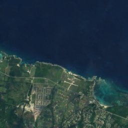



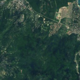
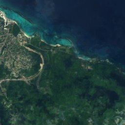
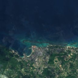
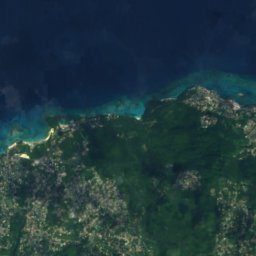
Satellite : Sentinel-2 cloudless 2016 par EOX IT Services GmbH · CC BY 4.0 · Contient des données Copernicus Sentinel modifiées (2016)
Llandovery Falls
Ocho Rios, Saint Ann Parish
Parcs nationaux
Parcs nationaux de Jamaïque

Photo : Wolmadrian · Public domain · Wikimedia CommonsSignaler cette photo · affichée par lien, non copiée
Blue and John Crow Mountains National Park
Mavis Bank, Saint Andrew Parish
1 224 km²
Plages
Plages de Jamaïque

Photo : JohannVanbeek · CC BY-SA 3.0 · Wikimedia CommonsSignaler cette photo · affichée par lien, non copiée
Hedonism Resorts
Little London, Westmoreland

Photo : 38chad · CC BY-SA 3.0 · Wikimedia CommonsSignaler cette photo · affichée par lien, non copiée
Reggae Beach
Ocho Rios, Saint Ann Parish

Photo : Ikaros1975 · CC BY-SA 3.0 · Wikimedia CommonsSignaler cette photo · affichée par lien, non copiée
Treasure Beach
Southfield, St. Elizabeth

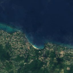
Satellite : Sentinel-2 cloudless 2016 par EOX IT Services GmbH · CC BY 4.0 · Contient des données Copernicus Sentinel modifiées (2016)
James Bond Beach
Ocho Rios, Saint Ann Parish
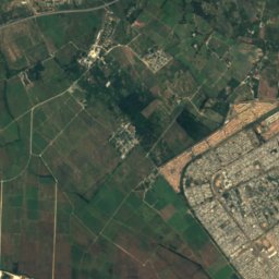
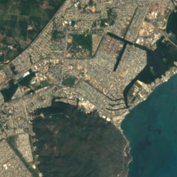
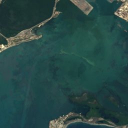
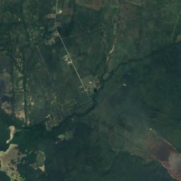
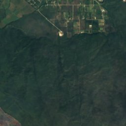
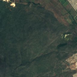
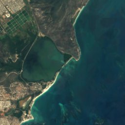
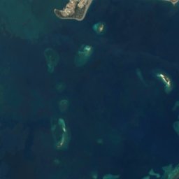
Satellite : Sentinel-2 cloudless 2016 par EOX IT Services GmbH · CC BY 4.0 · Contient des données Copernicus Sentinel modifiées (2016)
Hellshire Beach
Port Royal, Kingston
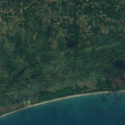
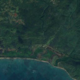
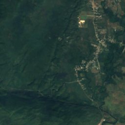
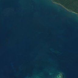

Satellite : Sentinel-2 cloudless 2016 par EOX IT Services GmbH · CC BY 4.0 · Contient des données Copernicus Sentinel modifiées (2016)
Long Bay Beach
Alligator Pond, Manchester
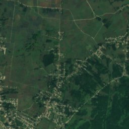
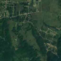
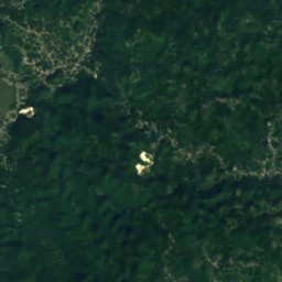
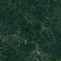
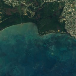
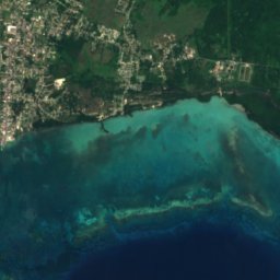
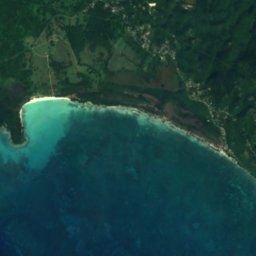
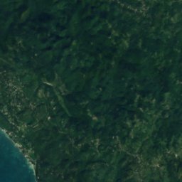
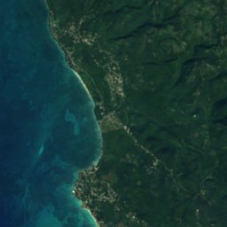
Satellite : Sentinel-2 cloudless 2016 par EOX IT Services GmbH · CC BY 4.0 · Contient des données Copernicus Sentinel modifiées (2016)
Bluefields Beach
Bluefields, Westmoreland



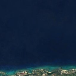


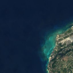
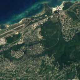
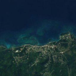
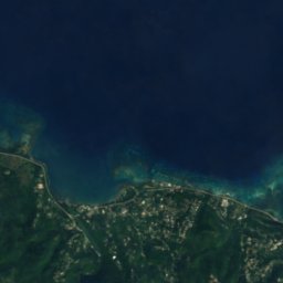
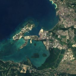
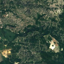
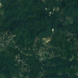
Satellite : Sentinel-2 cloudless 2016 par EOX IT Services GmbH · CC BY 4.0 · Contient des données Copernicus Sentinel modifiées (2016)
Doctor's Cave Beach Club
Montego Bay, Saint James Parish

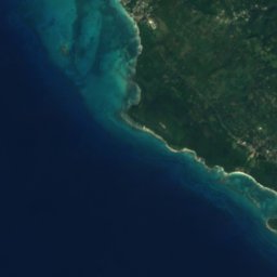


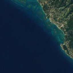



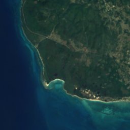
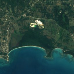
Satellite : Sentinel-2 cloudless 2016 par EOX IT Services GmbH · CC BY 4.0 · Contient des données Copernicus Sentinel modifiées (2016)
Font Hill Beach
Whitehouse, Westmoreland
Les 19 plages
Îles
Îles de Jamaïque

Photo : Earth Science and Remote Sensing Unit, Lyndon B. Johnson Space Center · Public domain · Wikimedia CommonsSignaler cette photo · affichée par lien, non copiée
Jamaïque
Spanish Town, Saint Catherine Parish

Photo : Chad Sparkes from Kissimmee,Florida, United States · CC BY 2.0 · Wikimedia CommonsSignaler cette photo · affichée par lien, non copiée
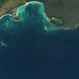
Bush Cay
Falmouth, Trelawny Parish




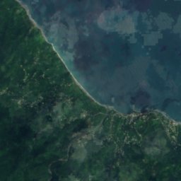
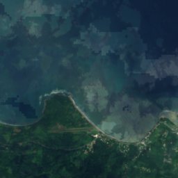
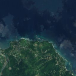


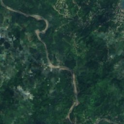
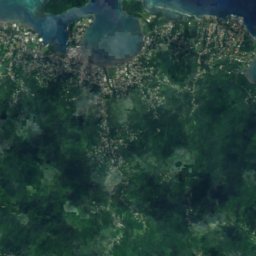
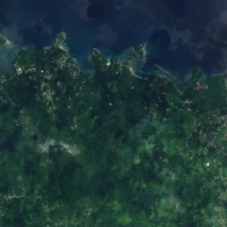
Satellite : Sentinel-2 cloudless 2016 par EOX IT Services GmbH · CC BY 4.0 · Contient des données Copernicus Sentinel modifiées (2016)
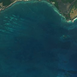
Navy Island
Port Antonio, Portland Parish





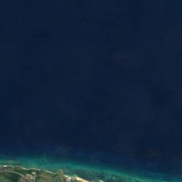
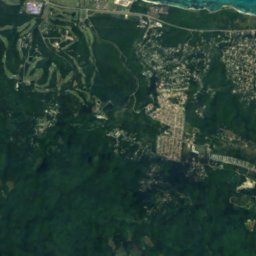
Satellite : Sentinel-2 cloudless 2016 par EOX IT Services GmbH · CC BY 4.0 · Contient des données Copernicus Sentinel modifiées (2016)
Sandals Cay
Montego Bay, Saint James Parish
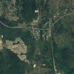
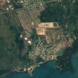
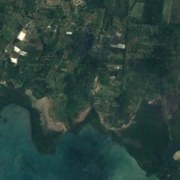
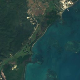
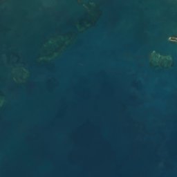
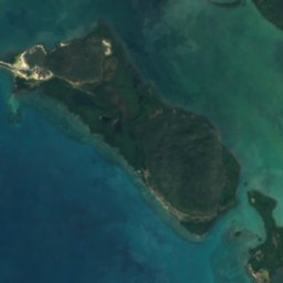
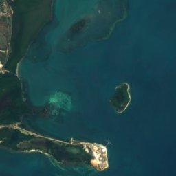

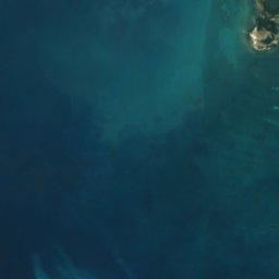
Satellite : Sentinel-2 cloudless 2016 par EOX IT Services GmbH · CC BY 4.0 · Contient des données Copernicus Sentinel modifiées (2016)
Great Goat Island
Old Harbour Bay, Saint Catherine Parish
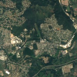
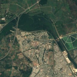
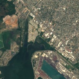
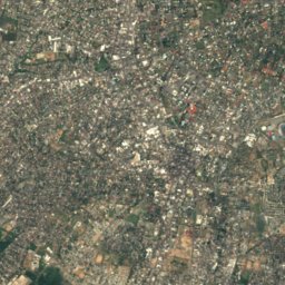
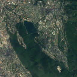
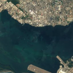
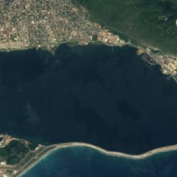
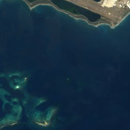
Satellite : Sentinel-2 cloudless 2016 par EOX IT Services GmbH · CC BY 4.0 · Contient des données Copernicus Sentinel modifiées (2016)
Lime Cay
Port Royal, Kingston
13 m


Satellite : Sentinel-2 cloudless 2016 par EOX IT Services GmbH · CC BY 4.0 · Contient des données Copernicus Sentinel modifiées (2016)
Maiden Cay
Port Royal, Kingston
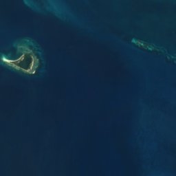
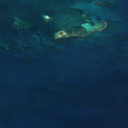
Satellite : Sentinel-2 cloudless 2016 par EOX IT Services GmbH · CC BY 4.0 · Contient des données Copernicus Sentinel modifiées (2016)
Pigeon Island
Old Harbour Bay, Saint Catherine Parish
Les 56 îles
- Alligator Reef
- Bare Bush Cay
- Barrack Reef
- Biddlecombe Shoal
- Big Half Moon Cay
- Big Pelican Island
- Boat Stag Reef
- Bogue Islands
- Booby Cay
- Bore Island
- Bush Cay
- Bush Reef
- Cabarita Island
- Dead Man's Bones
- Doctor Reef
- Dolphin Island
- Drunkenmans Cay
- East Middle Ground
- Great Breaker
- Great Goat Island
- Green Island
- Hogsty Cay
- Inner Barrack Reefs
- Jamaïque
- Lee Reef
- Lilyroot Cay
- Lime Cay
- Lime Cay Shoal
- Little Half Moon Cay
- Little Pelican Island
- Little Reef
- Long Reef, St. Elizabeth
- Long Reef, St. Elizabeth
- Maiden Cay
- Mango Cay
- Moor Reef
- Mother Gun Reef
- Navy Island
- One Bush Cay
- Pellen Island
- Pigeon Island
- Portland Cay
- Rackhams Cay
- Ravient Reef
- Salt Island
- Sandals Cay
- Sandy Reef
- South Cay, Kingston
- South East Cay
- South Knolls
- Style Reef
- Tamarind Reef
- Tern Cay
- Tower Isle
- Turtle Head Shoal
- Wreck Reef
Grottes
Grottes de Jamaïque

Photo : Dr. Thomas Liptak · CC BY-SA 4.0 · Wikimedia CommonsSignaler cette photo · affichée par lien, non copiée
Green Grotto Caves
Discovery Bay, Saint Ann Parish

Photo : Ian mckenzie (talk) · CC BY-SA 3.0 · Wikimedia CommonsSignaler cette photo · affichée par lien, non copiée
Coffee River Cave
Balaclava, St. Elizabeth
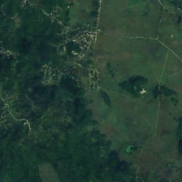
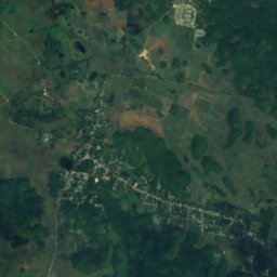
Satellite : Sentinel-2 cloudless 2016 par EOX IT Services GmbH · CC BY 4.0 · Contient des données Copernicus Sentinel modifiées (2016)
Windsor Great Cave
Sherwood Content, Trelawny Parish
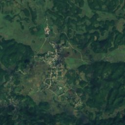
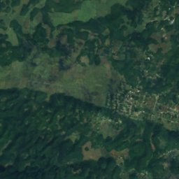
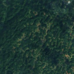
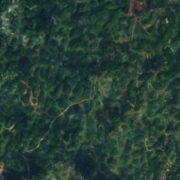
Satellite : Sentinel-2 cloudless 2016 par EOX IT Services GmbH · CC BY 4.0 · Contient des données Copernicus Sentinel modifiées (2016)
Belmont Cave
Ulster Spring, Trelawny Parish
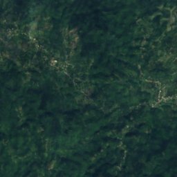
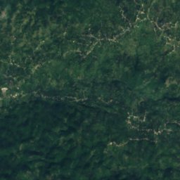
Satellite : Sentinel-2 cloudless 2016 par EOX IT Services GmbH · CC BY 4.0 · Contient des données Copernicus Sentinel modifiées (2016)
Gourie Cave
Coleyville, Manchester
Satellite : Sentinel-2 cloudless 2016 par EOX IT Services GmbH · CC BY 4.0 · Contient des données Copernicus Sentinel modifiées (2016)
Hutchinson's Hole
Kellits, Clarendon
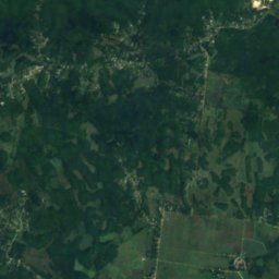
Satellite : Sentinel-2 cloudless 2016 par EOX IT Services GmbH · CC BY 4.0 · Contient des données Copernicus Sentinel modifiées (2016)
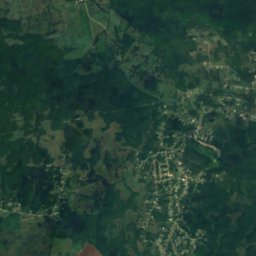
Long Mile Cave
Sherwood Content, Trelawny Parish
Satellite : Sentinel-2 cloudless 2016 par EOX IT Services GmbH · CC BY 4.0 · Contient des données Copernicus Sentinel modifiées (2016)
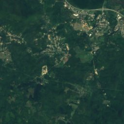
Bad Hole Cave
Sherwood Content, Trelawny Parish
Satellite : Sentinel-2 cloudless 2016 par EOX IT Services GmbH · CC BY 4.0 · Contient des données Copernicus Sentinel modifiées (2016)
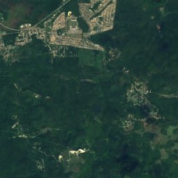
Carambie Cave
Albert Town, Trelawny Parish
Rivières et fleuves
Rivières et fleuves de Jamaïque

Photo : Johannes49 at English Wikipedia · CC BY-SA 3.0 · Wikimedia CommonsSignaler cette photo · affichée par lien, non copiée
Black River
Black River, St. Elizabeth

Photo : Michael L. Dorn · CC BY-SA 2.0 · Wikimedia CommonsSignaler cette photo · affichée par lien, non copiée
Rio Grande
Bath, Saint Thomas Parish

Photo : Ufos8mycow00 · CC BY-SA 3.0 · Wikimedia CommonsSignaler cette photo · affichée par lien, non copiée
Y.S. River
Black River, St. Elizabeth

Photo : Katinka Zuchowicz Photography · CC BY-SA 3.0 · Wikimedia CommonsSignaler cette photo · affichée par lien, non copiée
White River
Ocho Rios, Saint Ann Parish
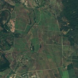


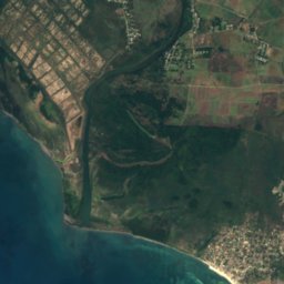
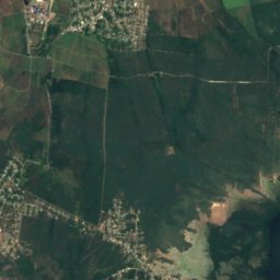



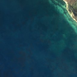
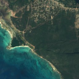
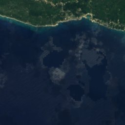
Satellite : Sentinel-2 cloudless 2016 par EOX IT Services GmbH · CC BY 4.0 · Contient des données Copernicus Sentinel modifiées (2016)
Rio Minho
Rocky Point, Clarendon
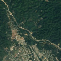
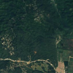
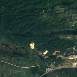
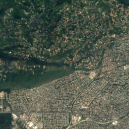
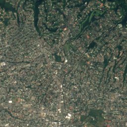
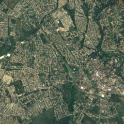
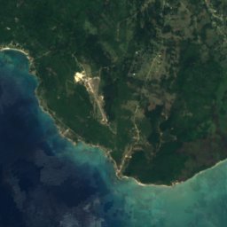
Satellite : Sentinel-2 cloudless 2016 par EOX IT Services GmbH · CC BY 4.0 · Contient des données Copernicus Sentinel modifiées (2016)
Rio Cobre
Portmore, Saint Catherine Parish
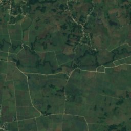
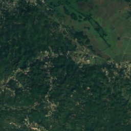
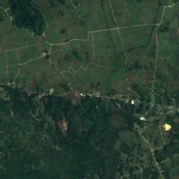
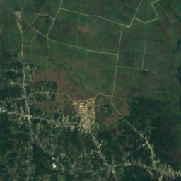
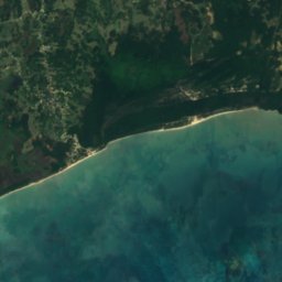
Satellite : Sentinel-2 cloudless 2016 par EOX IT Services GmbH · CC BY 4.0 · Contient des données Copernicus Sentinel modifiées (2016)
Cabarita
Savanna-la-Mar, Westmoreland





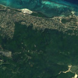
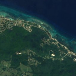
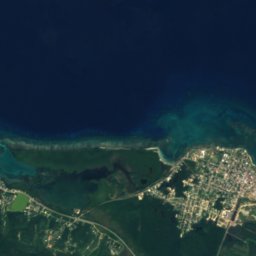
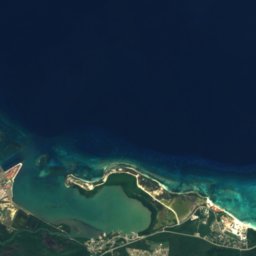
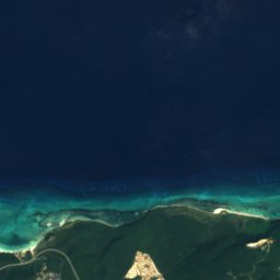
Satellite : Sentinel-2 cloudless 2016 par EOX IT Services GmbH · CC BY 4.0 · Contient des données Copernicus Sentinel modifiées (2016)
Martha Brae River
Falmouth, Trelawny Parish
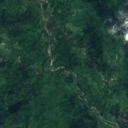


Satellite : Sentinel-2 cloudless 2016 par EOX IT Services GmbH · CC BY 4.0 · Contient des données Copernicus Sentinel modifiées (2016)
Plantain Garden River
Moore Town, Portland Parish
Les 49 rivières et fleuves
- Alligator Hole River
- Annotto River
- Back River
- Black River
- Broad River
- Buff Bay River
- Cabarita
- Cane River
- Cave River
- Coleburns Gully
- Dry River
- Ferry River
- Great River
- Guava River
- Gut River
- Hectors River
- Hope River
- Juan de Bolas River
- Lucea East River
- Lucea West River
- Martha Brae River
- Milk River
- Montego River
- Morant River
- New Savannah River
- One Eye River
- Oracabessa River
- Otram River
- Pagee River
- Plantain Garden River
- Rio Bueno
- Rio Cobre
- Rio Doro
- Rio Grande
- Rio Magno
- Rio Minho
- Rio Nuevo
- Rio Pedro
- Salt River
- Smith River
- South Negril River
- Spanish River
- Sweet River
- Swift River
- Thicket River
- Wag Water River
- White River
- Y.S. River
- Yallahs River