自然
ジャマイカの水辺、氷河、原野
湖、滝、氷河、国立公園、山小屋。それぞれの場所、規模、周辺の天気を掲載。
滝2か所(個別ページあり)
国立公園1か所(個別ページあり)
ビーチ19か所(個別ページあり)
島56か所(個別ページあり)

滝
ジャマイカの滝

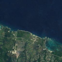



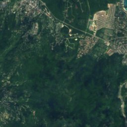
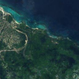
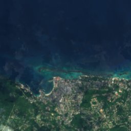
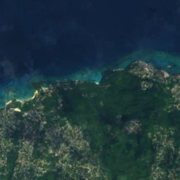
衛星: Sentinel-2 cloudless 2016(EOX IT Services GmbH) · CC BY 4.0 · 改変したCopernicus Sentinelデータ(2016年)を含みます
Llandovery Falls
Ocho Rios, Saint Ann Parish
国立公園
ジャマイカの国立公園

ビーチ
ジャマイカのビーチ



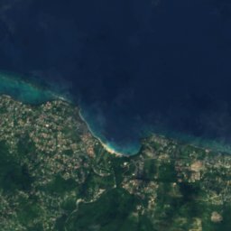
衛星: Sentinel-2 cloudless 2016(EOX IT Services GmbH) · CC BY 4.0 · 改変したCopernicus Sentinelデータ(2016年)を含みます
James Bond Beach
Ocho Rios, Saint Ann Parish
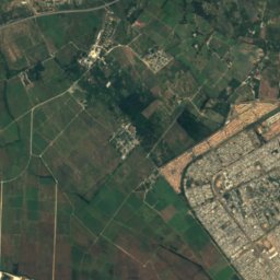
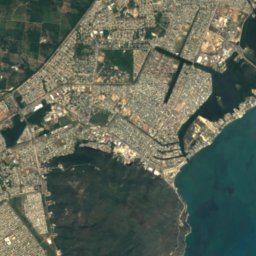
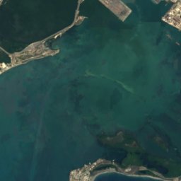
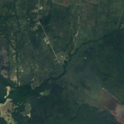
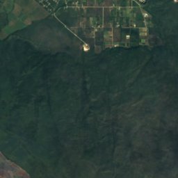
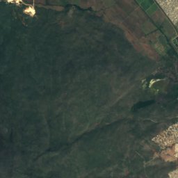
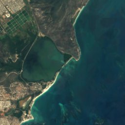
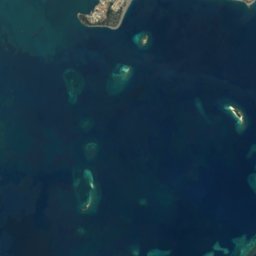
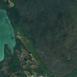
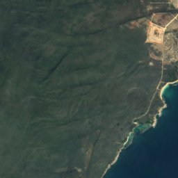
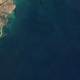
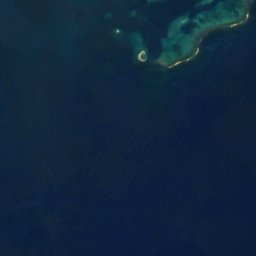
衛星: Sentinel-2 cloudless 2016(EOX IT Services GmbH) · CC BY 4.0 · 改変したCopernicus Sentinelデータ(2016年)を含みます
Hellshire Beach
ポート・ロイヤル, Kingston
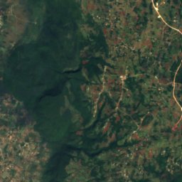
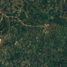
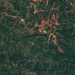
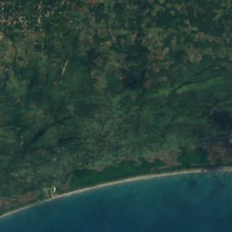
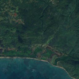
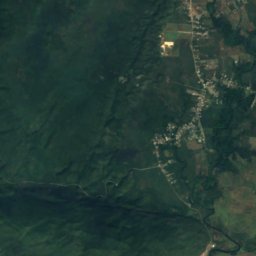
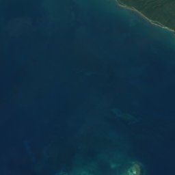
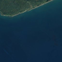

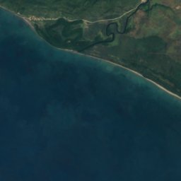
衛星: Sentinel-2 cloudless 2016(EOX IT Services GmbH) · CC BY 4.0 · 改変したCopernicus Sentinelデータ(2016年)を含みます
Long Bay Beach
Alligator Pond, Manchester
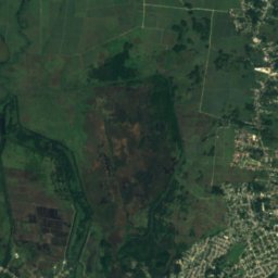
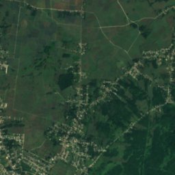
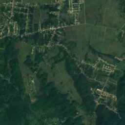
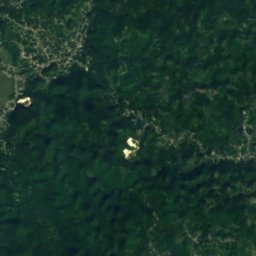
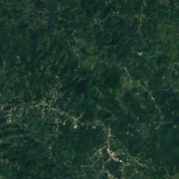
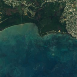
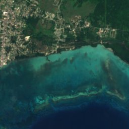
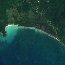
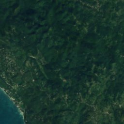

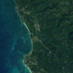
衛星: Sentinel-2 cloudless 2016(EOX IT Services GmbH) · CC BY 4.0 · 改変したCopernicus Sentinelデータ(2016年)を含みます
Bluefields Beach
Bluefields, Westmoreland





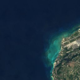
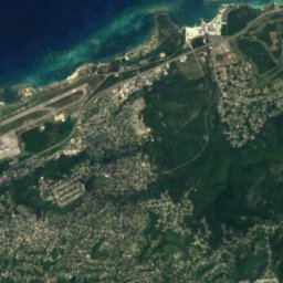
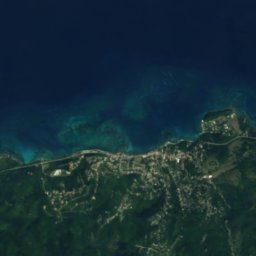
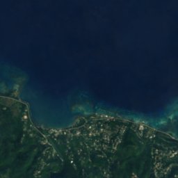
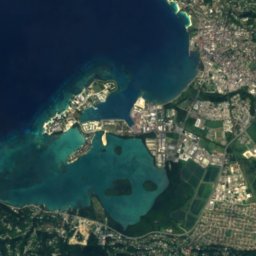
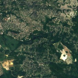
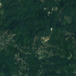
衛星: Sentinel-2 cloudless 2016(EOX IT Services GmbH) · CC BY 4.0 · 改変したCopernicus Sentinelデータ(2016年)を含みます
Doctor's Cave Beach Club
Montego Bay, Saint James Parish

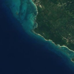
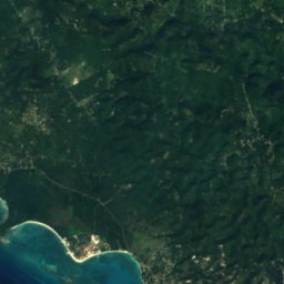


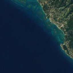
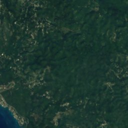
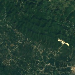



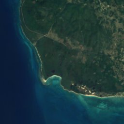
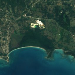
衛星: Sentinel-2 cloudless 2016(EOX IT Services GmbH) · CC BY 4.0 · 改変したCopernicus Sentinelデータ(2016年)を含みます
Font Hill Beach
Whitehouse, Westmoreland
島
ジャマイカの島

写真: Earth Science and Remote Sensing Unit, Lyndon B. Johnson Space Center · Public domain · Wikimedia Commonsこの写真を報告 · リンクのみ、保存なし
ジャマイカ島
Spanish Town, Saint Catherine Parish

写真: Chad Sparkes from Kissimmee,Florida, United States · CC BY 2.0 · Wikimedia Commonsこの写真を報告 · リンクのみ、保存なし
Bush Cay
Falmouth, Trelawny Parish




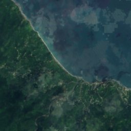
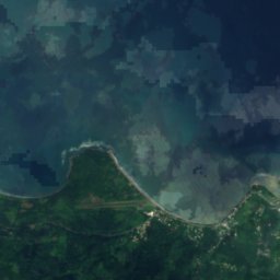
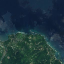


衛星: Sentinel-2 cloudless 2016(EOX IT Services GmbH) · CC BY 4.0 · 改変したCopernicus Sentinelデータ(2016年)を含みます
Navy Island, Jamaica
Port Antonio, Portland Parish





衛星: Sentinel-2 cloudless 2016(EOX IT Services GmbH) · CC BY 4.0 · 改変したCopernicus Sentinelデータ(2016年)を含みます
Sandals Cay
Montego Bay, Saint James Parish
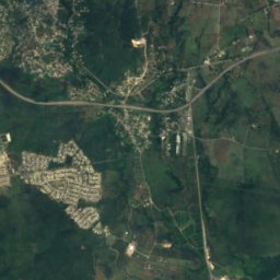
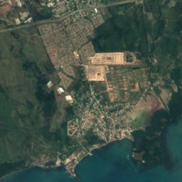
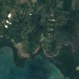
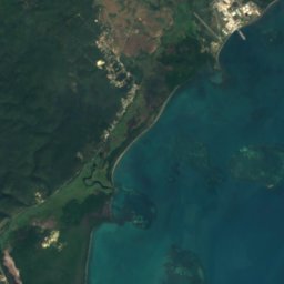
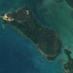
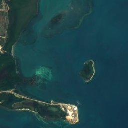

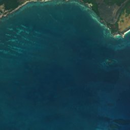
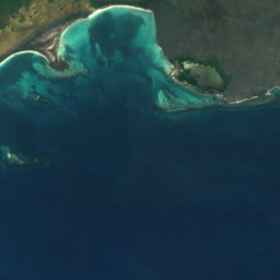
衛星: Sentinel-2 cloudless 2016(EOX IT Services GmbH) · CC BY 4.0 · 改変したCopernicus Sentinelデータ(2016年)を含みます
Great Goat Island
Old Harbour Bay, Saint Catherine Parish
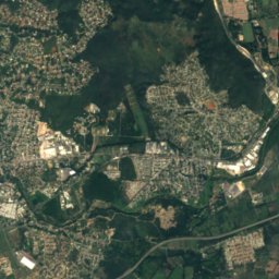
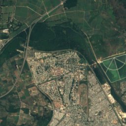
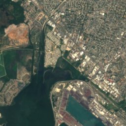
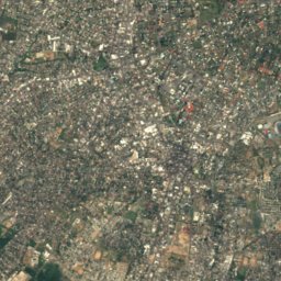
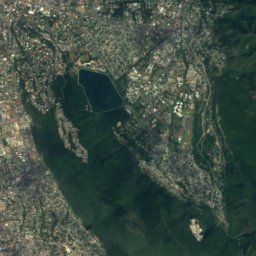
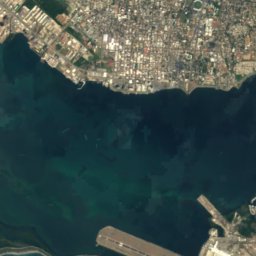
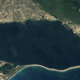
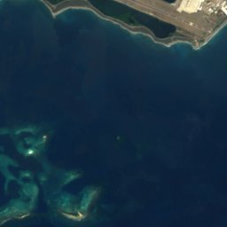
衛星: Sentinel-2 cloudless 2016(EOX IT Services GmbH) · CC BY 4.0 · 改変したCopernicus Sentinelデータ(2016年)を含みます
Lime Cay
ポート・ロイヤル, Kingston
13 m


衛星: Sentinel-2 cloudless 2016(EOX IT Services GmbH) · CC BY 4.0 · 改変したCopernicus Sentinelデータ(2016年)を含みます
Maiden Cay
ポート・ロイヤル, Kingston
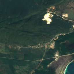
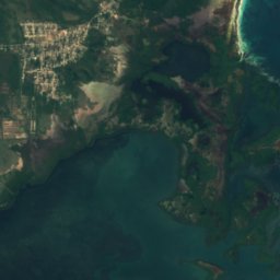
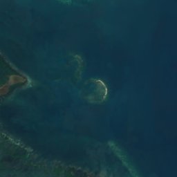
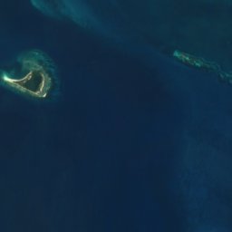
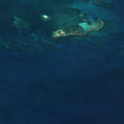
衛星: Sentinel-2 cloudless 2016(EOX IT Services GmbH) · CC BY 4.0 · 改変したCopernicus Sentinelデータ(2016年)を含みます
Pigeon Island
Old Harbour Bay, Saint Catherine Parish
全リスト:島56か所
- Alligator Reef
- Bare Bush Cay
- Barrack Reef
- Biddlecombe Shoal
- Big Half Moon Cay
- Big Pelican Island
- Boat Stag Reef
- Bogue Islands
- Booby Cay
- Bore Island
- Bush Cay
- Bush Reef
- Cabarita Island
- Dead Man's Bones
- Doctor Reef
- Dolphin Island
- Drunkenmans Cay
- East Middle Ground
- Great Breaker
- Great Goat Island
- Green Island
- Hogsty Cay
- Inner Barrack Reefs
- Lee Reef
- Lilyroot Cay
- Lime Cay
- Lime Cay Shoal
- Little Half Moon Cay
- Little Pelican Island
- Little Reef
- Long Reef, St. Elizabeth
- Long Reef, St. Elizabeth
- Maiden Cay
- Mango Cay
- Moor Reef
- Mother Gun Reef
- Navy Island, Jamaica
- One Bush Cay
- Pellen Island
- Pigeon Island
- Portland Cay
- Rackhams Cay
- Ravient Reef
- Salt Island
- Sandals Cay
- Sandy Reef
- South Cay, Kingston
- South East Cay
- South Knolls
- Style Reef
- Tamarind Reef
- Tern Cay
- Tower Isle
- Turtle Head Shoal
- Wreck Reef
- ジャマイカ島
洞窟
ジャマイカの洞窟


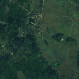
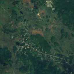
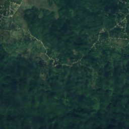
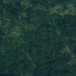
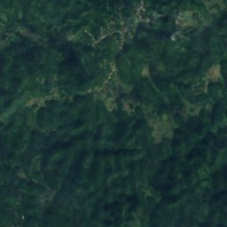
衛星: Sentinel-2 cloudless 2016(EOX IT Services GmbH) · CC BY 4.0 · 改変したCopernicus Sentinelデータ(2016年)を含みます
Windsor Great Cave
Sherwood Content, Trelawny Parish
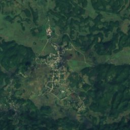
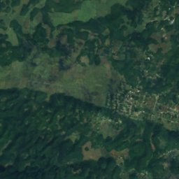
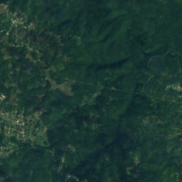
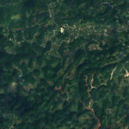
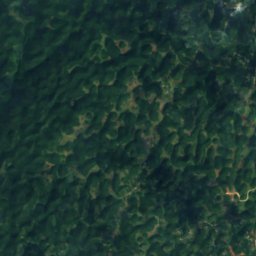
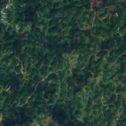
衛星: Sentinel-2 cloudless 2016(EOX IT Services GmbH) · CC BY 4.0 · 改変したCopernicus Sentinelデータ(2016年)を含みます
Belmont Cave
Ulster Spring, Trelawny Parish
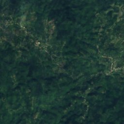
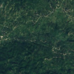
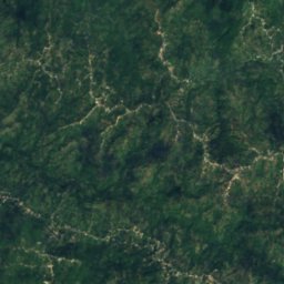
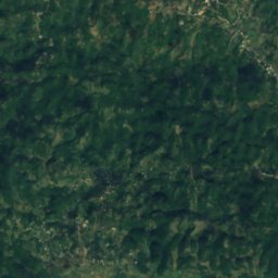
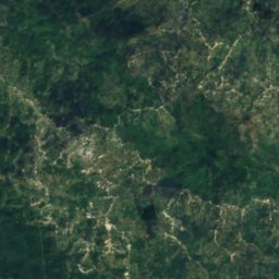
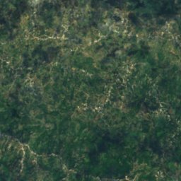
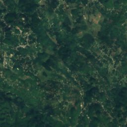
衛星: Sentinel-2 cloudless 2016(EOX IT Services GmbH) · CC BY 4.0 · 改変したCopernicus Sentinelデータ(2016年)を含みます
Gourie Cave
Coleyville, Manchester
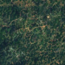
衛星: Sentinel-2 cloudless 2016(EOX IT Services GmbH) · CC BY 4.0 · 改変したCopernicus Sentinelデータ(2016年)を含みます
Hutchinson's Hole
Kellits, Clarendon
衛星: Sentinel-2 cloudless 2016(EOX IT Services GmbH) · CC BY 4.0 · 改変したCopernicus Sentinelデータ(2016年)を含みます
Long Mile Cave
Sherwood Content, Trelawny Parish
衛星: Sentinel-2 cloudless 2016(EOX IT Services GmbH) · CC BY 4.0 · 改変したCopernicus Sentinelデータ(2016年)を含みます
Bad Hole Cave
Sherwood Content, Trelawny Parish
衛星: Sentinel-2 cloudless 2016(EOX IT Services GmbH) · CC BY 4.0 · 改変したCopernicus Sentinelデータ(2016年)を含みます
Carambie Cave
Albert Town, Trelawny Parish
川
ジャマイカの川




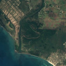
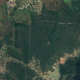



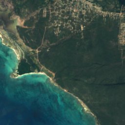
衛星: Sentinel-2 cloudless 2016(EOX IT Services GmbH) · CC BY 4.0 · 改変したCopernicus Sentinelデータ(2016年)を含みます
リオ・ミンホ川
Rocky Point, Clarendon
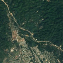
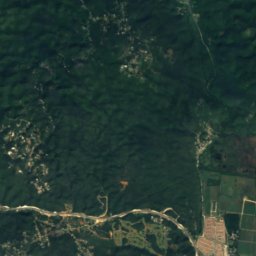
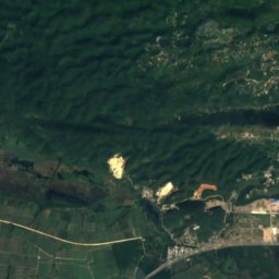
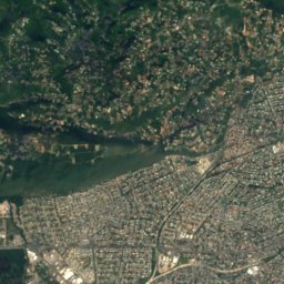
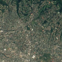
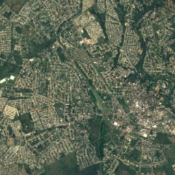
衛星: Sentinel-2 cloudless 2016(EOX IT Services GmbH) · CC BY 4.0 · 改変したCopernicus Sentinelデータ(2016年)を含みます
Rio Cobre
Portmore, Saint Catherine Parish
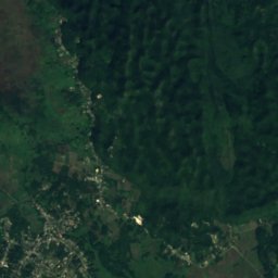
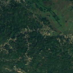
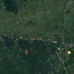
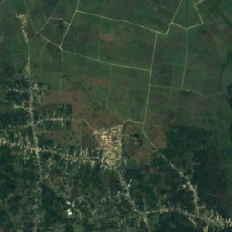
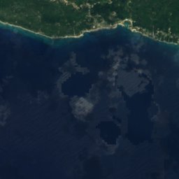
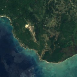
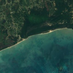
衛星: Sentinel-2 cloudless 2016(EOX IT Services GmbH) · CC BY 4.0 · 改変したCopernicus Sentinelデータ(2016年)を含みます
Cabarita River
Savanna-la-Mar, Westmoreland





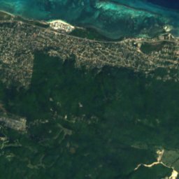
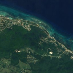
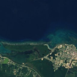
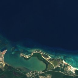
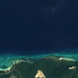
衛星: Sentinel-2 cloudless 2016(EOX IT Services GmbH) · CC BY 4.0 · 改変したCopernicus Sentinelデータ(2016年)を含みます
Martha Brae River
Falmouth, Trelawny Parish
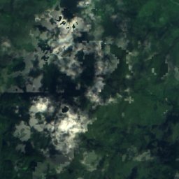


衛星: Sentinel-2 cloudless 2016(EOX IT Services GmbH) · CC BY 4.0 · 改変したCopernicus Sentinelデータ(2016年)を含みます
Plantain Garden River
Moore Town, Portland Parish
全リスト:川49か所
- Alligator Hole River
- Annotto River
- Back River
- Broad River
- Cabarita River
- Cane River
- Cave River
- Coleburns Gully
- Dry River
- Ferry River
- Great River
- Guava River
- Gut River
- Hope River
- Juan de Bolas River
- Lucea East River
- Lucea West River
- Martha Brae River
- Milk River
- Montego River
- Morant River
- New Savannah River
- Oracabessa River
- Otram River
- Pagee River
- Plantain Garden River
- Rio Bueno
- Rio Cobre
- Rio Doro
- Rio Magno
- Rio Nuevo
- Rio Pedro
- Salt River
- South Negril River
- Spanish River
- Sweet River
- Swift River
- Thicket River
- Wag Water River
- White River
- Y.S.川
- Yallahs River
- グランデ川
- スミス川
- バフ・ベイ川
- ブラック川
- ヘクターズ川
- リオ・ミンホ川
- ワン・アイ川