Przyroda
Woda, lód i dzika przyroda Gabonu
Jeziora, wodospady, lodowce, parki narodowe i schroniska górskie – każde z położeniem, wielkością i pogodą w pobliskich miejscowościach.
Jeziora20z własną stroną
Wodospady3z własną stroną
Parki narodowe1z własną stroną
Wyspy27z własną stroną

Zdjęcie: Ballot 2 · CC0 · Wikimedia CommonsZgłoś to zdjęcie · wyświetlane przez odnośnik, nie kopiowane
Jeziora
Jeziora Gabonu
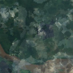
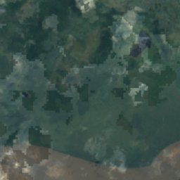
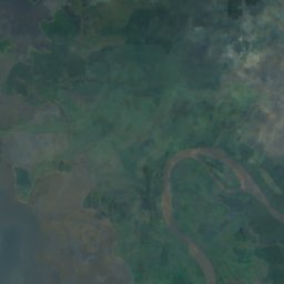
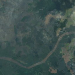
Satelita: Sentinel-2 cloudless 2016 – EOX IT Services GmbH · CC BY 4.0 · Zawiera zmodyfikowane dane Copernicus Sentinel (2016)
Lac Evaro
Lambaréné, Moyen-Ogooué
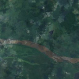
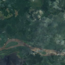
Satelita: Sentinel-2 cloudless 2016 – EOX IT Services GmbH · CC BY 4.0 · Zawiera zmodyfikowane dane Copernicus Sentinel (2016)
Lac Adolé
Lambaréné, Moyen-Ogooué
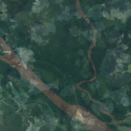
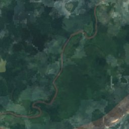
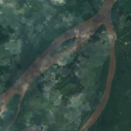
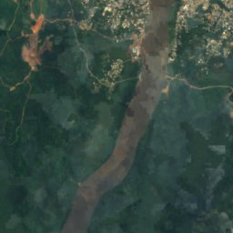
Satelita: Sentinel-2 cloudless 2016 – EOX IT Services GmbH · CC BY 4.0 · Zawiera zmodyfikowane dane Copernicus Sentinel (2016)
Lac Avengo
Lambaréné, Moyen-Ogooué
Satelita: Sentinel-2 cloudless 2016 – EOX IT Services GmbH · CC BY 4.0 · Zawiera zmodyfikowane dane Copernicus Sentinel (2016)
Lac Avou
Lambaréné, Moyen-Ogooué
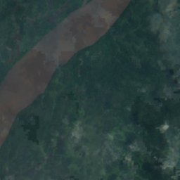
Satelita: Sentinel-2 cloudless 2016 – EOX IT Services GmbH · CC BY 4.0 · Zawiera zmodyfikowane dane Copernicus Sentinel (2016)
Lac Ayèm
Ndjolé, Moyen-Ogooué
Satelita: Sentinel-2 cloudless 2016 – EOX IT Services GmbH · CC BY 4.0 · Zawiera zmodyfikowane dane Copernicus Sentinel (2016)
Lac Azougé
Ndjolé, Moyen-Ogooué
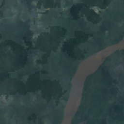
Satelita: Sentinel-2 cloudless 2016 – EOX IT Services GmbH · CC BY 4.0 · Zawiera zmodyfikowane dane Copernicus Sentinel (2016)
Lac Berr
Ndjolé, Moyen-Ogooué
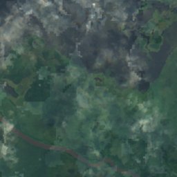
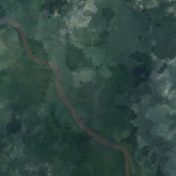
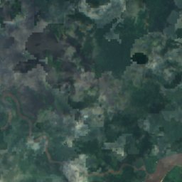
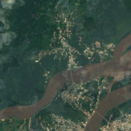
Satelita: Sentinel-2 cloudless 2016 – EOX IT Services GmbH · CC BY 4.0 · Zawiera zmodyfikowane dane Copernicus Sentinel (2016)
Lac Déguèlié
Lambaréné, Moyen-Ogooué
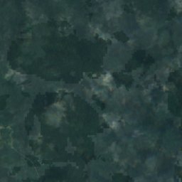
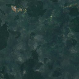
Wodospady
Wodospady Gabonu
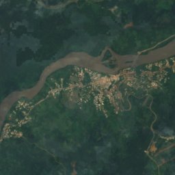
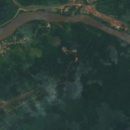
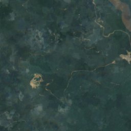
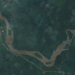
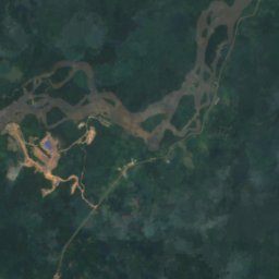
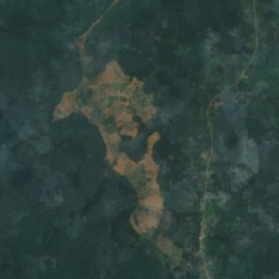
Satelita: Sentinel-2 cloudless 2016 – EOX IT Services GmbH · CC BY 4.0 · Zawiera zmodyfikowane dane Copernicus Sentinel (2016)
Chute Livoundjo
Lastoursville, Ogooué-Lolo
Satelita: Sentinel-2 cloudless 2016 – EOX IT Services GmbH · CC BY 4.0 · Zawiera zmodyfikowane dane Copernicus Sentinel (2016)
Chute de Boundji
Lastoursville, Ogooué-Lolo
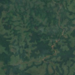
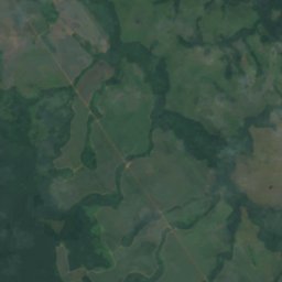
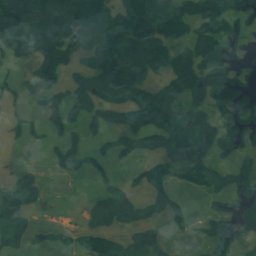
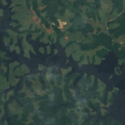
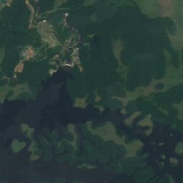
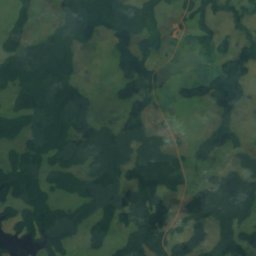
Satelita: Sentinel-2 cloudless 2016 – EOX IT Services GmbH · CC BY 4.0 · Zawiera zmodyfikowane dane Copernicus Sentinel (2016)
Chute de Poubara
Franceville, Haut-Ogooué
Parki narodowe
Parki narodowe Gabonu


Satelita: Sentinel-2 cloudless 2016 – EOX IT Services GmbH · CC BY 4.0 · Zawiera zmodyfikowane dane Copernicus Sentinel (2016)
Parc national d'Akanda
Akanda, Estuaire
Wyspy
Wyspy Gabonu



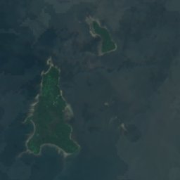




Satelita: Sentinel-2 cloudless 2016 – EOX IT Services GmbH · CC BY 4.0 · Zawiera zmodyfikowane dane Copernicus Sentinel (2016)
Elobey Grande
Cocobeach, Estuaire

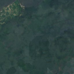
Satelita: Sentinel-2 cloudless 2016 – EOX IT Services GmbH · CC BY 4.0 · Zawiera zmodyfikowane dane Copernicus Sentinel (2016)
Elobey Chico
Cocobeach, Estuaire





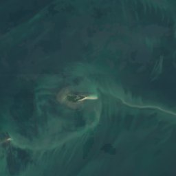
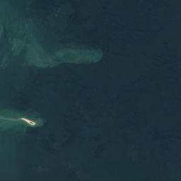



Satelita: Sentinel-2 cloudless 2016 – EOX IT Services GmbH · CC BY 4.0 · Zawiera zmodyfikowane dane Copernicus Sentinel (2016)
Mbanie
Akanda, Estuaire
4 m

Satelita: Sentinel-2 cloudless 2016 – EOX IT Services GmbH · CC BY 4.0 · Zawiera zmodyfikowane dane Copernicus Sentinel (2016)
Islote Belobi
Cocobeach, Estuaire






Satelita: Sentinel-2 cloudless 2016 – EOX IT Services GmbH · CC BY 4.0 · Zawiera zmodyfikowane dane Copernicus Sentinel (2016)
Banc Acanda
Akanda, Estuaire
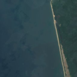


Satelita: Sentinel-2 cloudless 2016 – EOX IT Services GmbH · CC BY 4.0 · Zawiera zmodyfikowane dane Copernicus Sentinel (2016)
Banc Espinassy
Libreville, Estuaire



Satelita: Sentinel-2 cloudless 2016 – EOX IT Services GmbH · CC BY 4.0 · Zawiera zmodyfikowane dane Copernicus Sentinel (2016)
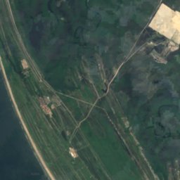
Banc Marabout
Cocobeach, Estuaire
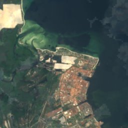

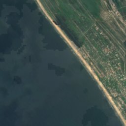
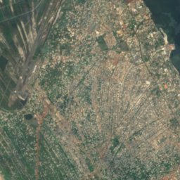
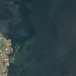
Satelita: Sentinel-2 cloudless 2016 – EOX IT Services GmbH · CC BY 4.0 · Zawiera zmodyfikowane dane Copernicus Sentinel (2016)
Banc Rousselot
Port-Gentil, Ogooué-Maritime


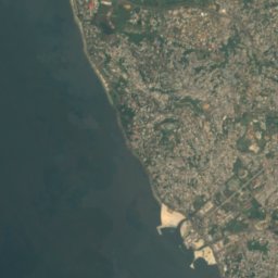
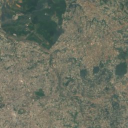
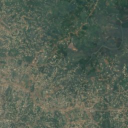
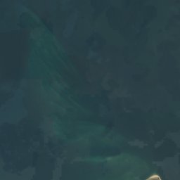

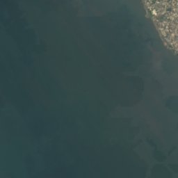
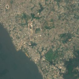
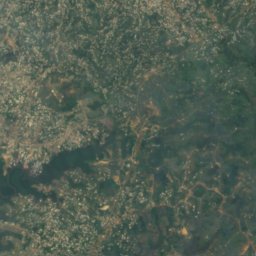
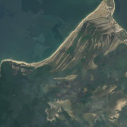
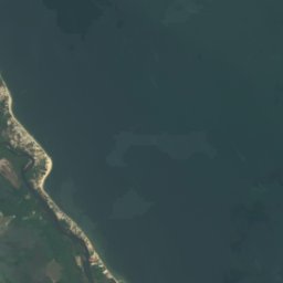

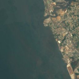
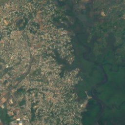
Satelita: Sentinel-2 cloudless 2016 – EOX IT Services GmbH · CC BY 4.0 · Zawiera zmodyfikowane dane Copernicus Sentinel (2016)
Banc de la Malouine
Libreville, Estuaire
Pełna lista (27): wyspy
- Banc Acanda
- Banc de la Malouine
- Banc de la Mouche
- Banc de la Recherche
- Banc des Cigognes
- Banc du Como
- Banc du Loiret
- Banc du Nisus
- Banc du Papillon
- Banc du Postillon
- Banc du Prince
- Banc du Rubis
- Banc du Talisman
- Banc Espinassy
- Banc Marabout
- Banc Rousselot
- Bancos de Elobey
- Bancos del Este
- Bancs de la Turquoise
- Elobey Chico
- Elobey Grande
- Isle of Saint Denis
- Islote Belobi
- Mbanie
- Récif Buyumba
- Roches Vialètes
- Sapania
Rzeki
Rzeki Gabonu

Zdjęcie: Ballot 2 · CC0 · Wikimedia CommonsZgłoś to zdjęcie · wyświetlane przez odnośnik, nie kopiowane
Komo
Médouneu, Woleu-Ntem

Zdjęcie: Ismoon (talk) 19:53, 4 December 2019 (UTC) (with Photoshop from Le Tour du Monde · CC BY-SA 4.0 · Wikimedia CommonsZgłoś to zdjęcie · wyświetlane przez odnośnik, nie kopiowane
Mpassa
Franceville, Haut-Ogooué
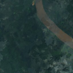
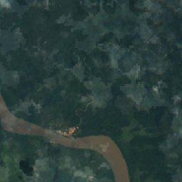
Satelita: Sentinel-2 cloudless 2016 – EOX IT Services GmbH · CC BY 4.0 · Zawiera zmodyfikowane dane Copernicus Sentinel (2016)
Ngounié
Lambaréné, Moyen-Ogooué
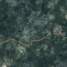
Satelita: Sentinel-2 cloudless 2016 – EOX IT Services GmbH · CC BY 4.0 · Zawiera zmodyfikowane dane Copernicus Sentinel (2016)
Mitong
Médouneu, Woleu-Ntem
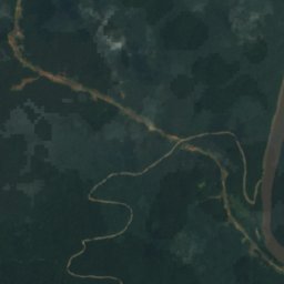
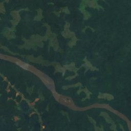
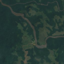
Satelita: Sentinel-2 cloudless 2016 – EOX IT Services GmbH · CC BY 4.0 · Zawiera zmodyfikowane dane Copernicus Sentinel (2016)
Lékoni
Mounana, Haut-Ogooué
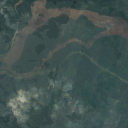
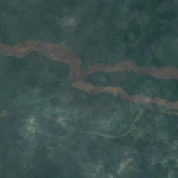
Satelita: Sentinel-2 cloudless 2016 – EOX IT Services GmbH · CC BY 4.0 · Zawiera zmodyfikowane dane Copernicus Sentinel (2016)
Okano
Ndjolé, Moyen-Ogooué
Satelita: Sentinel-2 cloudless 2016 – EOX IT Services GmbH · CC BY 4.0 · Zawiera zmodyfikowane dane Copernicus Sentinel (2016)
Wong
Makokou, Ogooué-Ivindo