자연
가봉의 물가, 빙하, 야생
호수, 폭포, 빙하, 국립공원, 산장. 각각의 위치, 규모, 주변 날씨를 소개합니다.
호수20곳(개별 페이지 있음)
폭포3곳(개별 페이지 있음)
국립공원1곳(개별 페이지 있음)
섬27곳(개별 페이지 있음)

호수
가봉의 호수
위성: Sentinel-2 cloudless 2016(EOX IT Services GmbH) · CC BY 4.0 · 수정된 Copernicus Sentinel 데이터(2016) 포함
Lac Evaro
Lambaréné, Moyen-Ogooué
위성: Sentinel-2 cloudless 2016(EOX IT Services GmbH) · CC BY 4.0 · 수정된 Copernicus Sentinel 데이터(2016) 포함
Lac Adolé
Lambaréné, Moyen-Ogooué
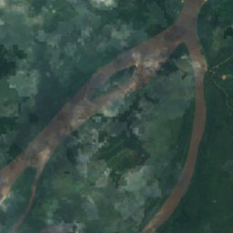
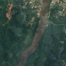
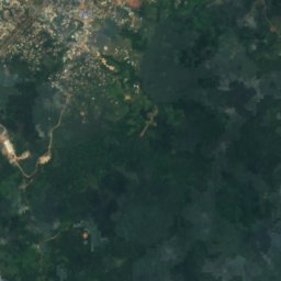
위성: Sentinel-2 cloudless 2016(EOX IT Services GmbH) · CC BY 4.0 · 수정된 Copernicus Sentinel 데이터(2016) 포함
Lac Avengo
Lambaréné, Moyen-Ogooué
위성: Sentinel-2 cloudless 2016(EOX IT Services GmbH) · CC BY 4.0 · 수정된 Copernicus Sentinel 데이터(2016) 포함
Lac Avou
Lambaréné, Moyen-Ogooué
위성: Sentinel-2 cloudless 2016(EOX IT Services GmbH) · CC BY 4.0 · 수정된 Copernicus Sentinel 데이터(2016) 포함
Lac Ayèm
Ndjolé, Moyen-Ogooué
위성: Sentinel-2 cloudless 2016(EOX IT Services GmbH) · CC BY 4.0 · 수정된 Copernicus Sentinel 데이터(2016) 포함
Lac Azougé
Ndjolé, Moyen-Ogooué
위성: Sentinel-2 cloudless 2016(EOX IT Services GmbH) · CC BY 4.0 · 수정된 Copernicus Sentinel 데이터(2016) 포함
Lac Berr
Ndjolé, Moyen-Ogooué
위성: Sentinel-2 cloudless 2016(EOX IT Services GmbH) · CC BY 4.0 · 수정된 Copernicus Sentinel 데이터(2016) 포함
Lac Déguèlié
Lambaréné, Moyen-Ogooué
폭포
가봉의 폭포
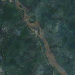
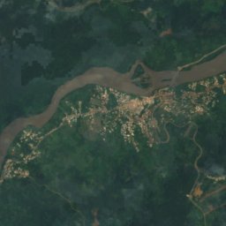
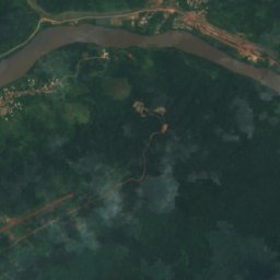
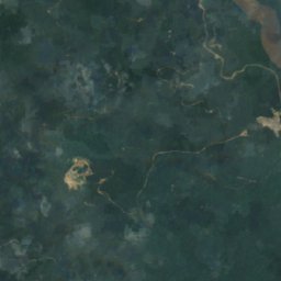
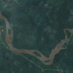
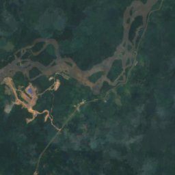
위성: Sentinel-2 cloudless 2016(EOX IT Services GmbH) · CC BY 4.0 · 수정된 Copernicus Sentinel 데이터(2016) 포함
Chute Livoundjo
Lastoursville, Ogooué-Lolo
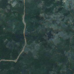
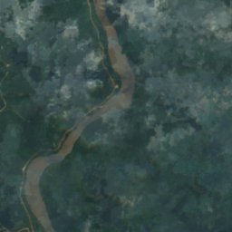
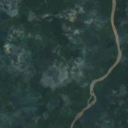
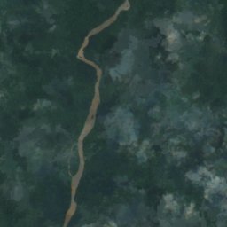
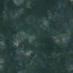
위성: Sentinel-2 cloudless 2016(EOX IT Services GmbH) · CC BY 4.0 · 수정된 Copernicus Sentinel 데이터(2016) 포함
Chute de Boundji
Lastoursville, Ogooué-Lolo
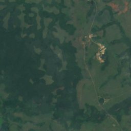
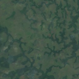
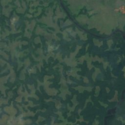
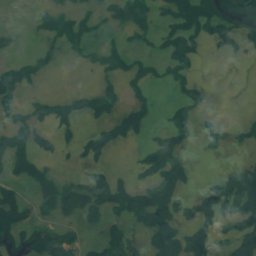
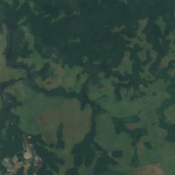
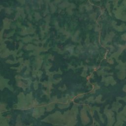
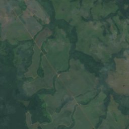
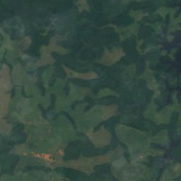
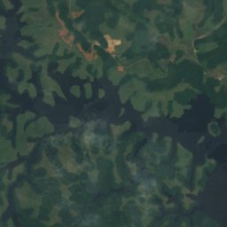
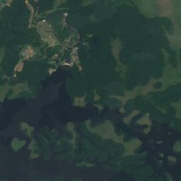
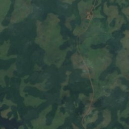
위성: Sentinel-2 cloudless 2016(EOX IT Services GmbH) · CC BY 4.0 · 수정된 Copernicus Sentinel 데이터(2016) 포함
Chute de Poubara
Franceville, Haut-Ogooué
국립공원
가봉의 국립공원



위성: Sentinel-2 cloudless 2016(EOX IT Services GmbH) · CC BY 4.0 · 수정된 Copernicus Sentinel 데이터(2016) 포함
Akanda National Park
Akanda, Estuaire
섬
가봉의 섬






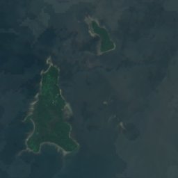




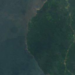
위성: Sentinel-2 cloudless 2016(EOX IT Services GmbH) · CC BY 4.0 · 수정된 Copernicus Sentinel 데이터(2016) 포함
엘로베이그란데섬
Cocobeach, Estuaire


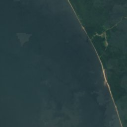
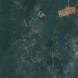
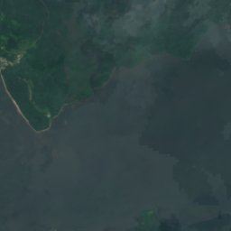
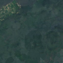
위성: Sentinel-2 cloudless 2016(EOX IT Services GmbH) · CC BY 4.0 · 수정된 Copernicus Sentinel 데이터(2016) 포함
엘로베이치코섬
Cocobeach, Estuaire







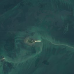
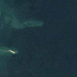





위성: Sentinel-2 cloudless 2016(EOX IT Services GmbH) · CC BY 4.0 · 수정된 Copernicus Sentinel 데이터(2016) 포함
Mbañe
Akanda, Estuaire
4 m

위성: Sentinel-2 cloudless 2016(EOX IT Services GmbH) · CC BY 4.0 · 수정된 Copernicus Sentinel 데이터(2016) 포함
Islote Belobi
Cocobeach, Estuaire









위성: Sentinel-2 cloudless 2016(EOX IT Services GmbH) · CC BY 4.0 · 수정된 Copernicus Sentinel 데이터(2016) 포함
Banc Acanda
Akanda, Estuaire
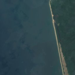
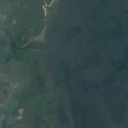




위성: Sentinel-2 cloudless 2016(EOX IT Services GmbH) · CC BY 4.0 · 수정된 Copernicus Sentinel 데이터(2016) 포함
Banc Espinassy
Libreville, Estuaire



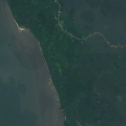
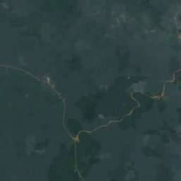
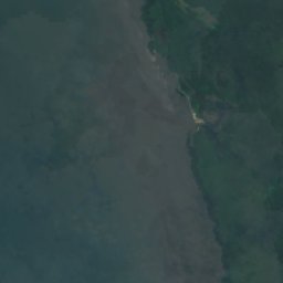
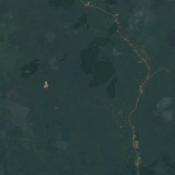
위성: Sentinel-2 cloudless 2016(EOX IT Services GmbH) · CC BY 4.0 · 수정된 Copernicus Sentinel 데이터(2016) 포함
Banc Marabout
Cocobeach, Estuaire

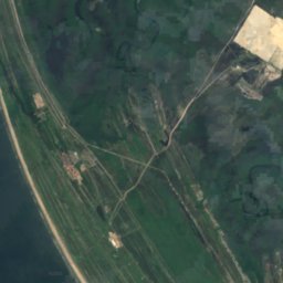
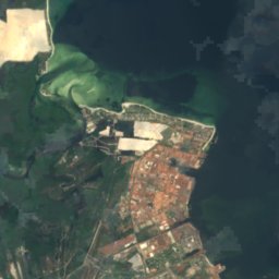



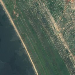
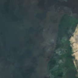
위성: Sentinel-2 cloudless 2016(EOX IT Services GmbH) · CC BY 4.0 · 수정된 Copernicus Sentinel 데이터(2016) 포함
Banc Rousselot
Port-Gentil, Ogooué-Maritime


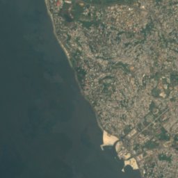
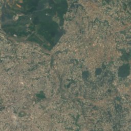
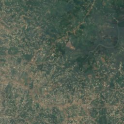


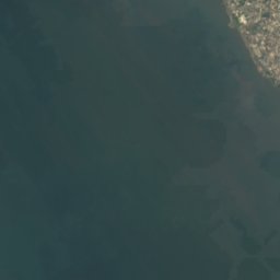
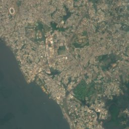
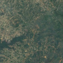
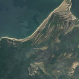
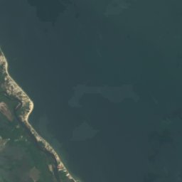

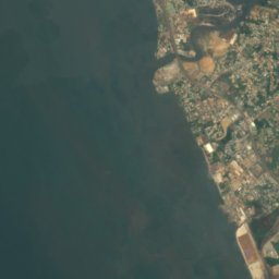
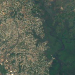
위성: Sentinel-2 cloudless 2016(EOX IT Services GmbH) · CC BY 4.0 · 수정된 Copernicus Sentinel 데이터(2016) 포함
Banc de la Malouine
Libreville, Estuaire
전체 목록: 섬 27곳
- 엘로베이그란데섬
- 엘로베이치코섬
- Banc Acanda
- Banc de la Malouine
- Banc de la Mouche
- Banc de la Recherche
- Banc des Cigognes
- Banc du Como
- Banc du Loiret
- Banc du Nisus
- Banc du Papillon
- Banc du Postillon
- Banc du Prince
- Banc du Rubis
- Banc du Talisman
- Banc Espinassy
- Banc Marabout
- Banc Rousselot
- Bancos de Elobey
- Bancos del Este
- Bancs de la Turquoise
- Isle of Saint Denis
- Islote Belobi
- Mbañe
- Récif Buyumba
- Roches Vialètes
- Sapania
강
가봉의 강


사진: Ismoon (talk) 19:53, 4 December 2019 (UTC) (with Photoshop from Le Tour du Monde · CC BY-SA 4.0 · Wikimedia Commons이 사진 신고 · 링크만, 저장 없음
Mpassa River
Franceville, Haut-Ogooué
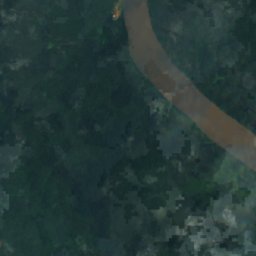
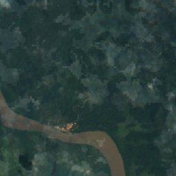
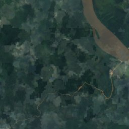
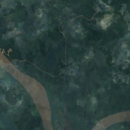
위성: Sentinel-2 cloudless 2016(EOX IT Services GmbH) · CC BY 4.0 · 수정된 Copernicus Sentinel 데이터(2016) 포함
Ngounie River
Lambaréné, Moyen-Ogooué
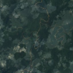
위성: Sentinel-2 cloudless 2016(EOX IT Services GmbH) · CC BY 4.0 · 수정된 Copernicus Sentinel 데이터(2016) 포함
Mitong River
Médouneu, Woleu-Ntem
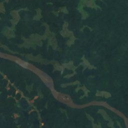
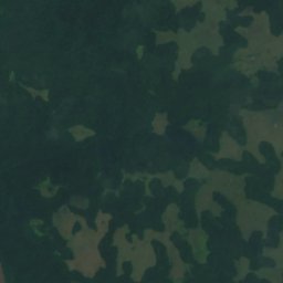
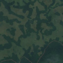
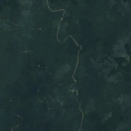
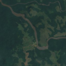
위성: Sentinel-2 cloudless 2016(EOX IT Services GmbH) · CC BY 4.0 · 수정된 Copernicus Sentinel 데이터(2016) 포함
Lekoni River
Mounana, Haut-Ogooué
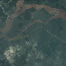
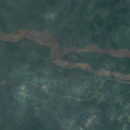

위성: Sentinel-2 cloudless 2016(EOX IT Services GmbH) · CC BY 4.0 · 수정된 Copernicus Sentinel 데이터(2016) 포함
Okano
Ndjolé, Moyen-Ogooué
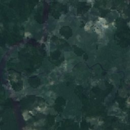
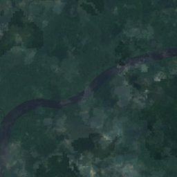
위성: Sentinel-2 cloudless 2016(EOX IT Services GmbH) · CC BY 4.0 · 수정된 Copernicus Sentinel 데이터(2016) 포함
Oua River
Makokou, Ogooué-Ivindo
위성: Sentinel-2 cloudless 2016(EOX IT Services GmbH) · CC BY 4.0 · 수정된 Copernicus Sentinel 데이터(2016) 포함
Djadié
Makokou, Ogooué-Ivindo
478 m
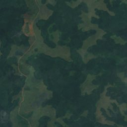
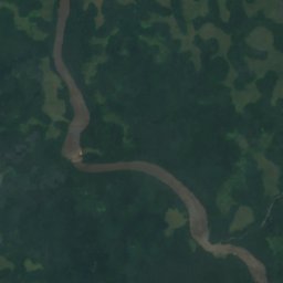


위성: Sentinel-2 cloudless 2016(EOX IT Services GmbH) · CC BY 4.0 · 수정된 Copernicus Sentinel 데이터(2016) 포함
Lekabi River
Mounana, Haut-Ogooué