自然
ガボンの水辺、氷河、原野
湖、滝、氷河、国立公園、山小屋。それぞれの場所、規模、周辺の天気を掲載。
湖20か所(個別ページあり)
滝3か所(個別ページあり)
国立公園1か所(個別ページあり)
島27か所(個別ページあり)

湖
ガボンの湖
衛星: Sentinel-2 cloudless 2016(EOX IT Services GmbH) · CC BY 4.0 · 改変したCopernicus Sentinelデータ(2016年)を含みます
Lac Evaro
Lambaréné, Moyen-Ogooué
衛星: Sentinel-2 cloudless 2016(EOX IT Services GmbH) · CC BY 4.0 · 改変したCopernicus Sentinelデータ(2016年)を含みます
Lac Adolé
Lambaréné, Moyen-Ogooué
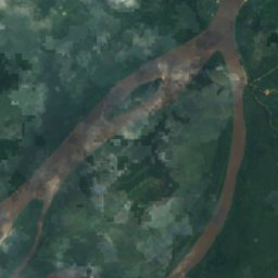
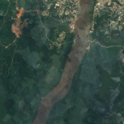
衛星: Sentinel-2 cloudless 2016(EOX IT Services GmbH) · CC BY 4.0 · 改変したCopernicus Sentinelデータ(2016年)を含みます
Lac Avengo
Lambaréné, Moyen-Ogooué
衛星: Sentinel-2 cloudless 2016(EOX IT Services GmbH) · CC BY 4.0 · 改変したCopernicus Sentinelデータ(2016年)を含みます
Lac Avou
Lambaréné, Moyen-Ogooué
衛星: Sentinel-2 cloudless 2016(EOX IT Services GmbH) · CC BY 4.0 · 改変したCopernicus Sentinelデータ(2016年)を含みます
Lac Ayèm
Ndjolé, Moyen-Ogooué
衛星: Sentinel-2 cloudless 2016(EOX IT Services GmbH) · CC BY 4.0 · 改変したCopernicus Sentinelデータ(2016年)を含みます
Lac Azougé
Ndjolé, Moyen-Ogooué
衛星: Sentinel-2 cloudless 2016(EOX IT Services GmbH) · CC BY 4.0 · 改変したCopernicus Sentinelデータ(2016年)を含みます
Lac Berr
Ndjolé, Moyen-Ogooué
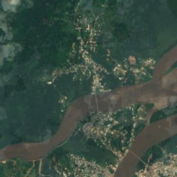
衛星: Sentinel-2 cloudless 2016(EOX IT Services GmbH) · CC BY 4.0 · 改変したCopernicus Sentinelデータ(2016年)を含みます
Lac Déguèlié
Lambaréné, Moyen-Ogooué
滝
ガボンの滝
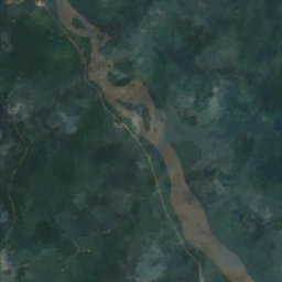
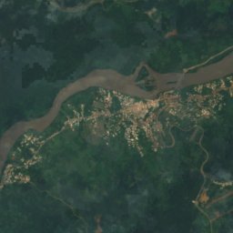
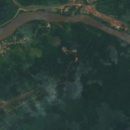
衛星: Sentinel-2 cloudless 2016(EOX IT Services GmbH) · CC BY 4.0 · 改変したCopernicus Sentinelデータ(2016年)を含みます
Chute Livoundjo
ラストゥールヴィル, Ogooué-Lolo
衛星: Sentinel-2 cloudless 2016(EOX IT Services GmbH) · CC BY 4.0 · 改変したCopernicus Sentinelデータ(2016年)を含みます
Chute de Boundji
ラストゥールヴィル, Ogooué-Lolo
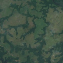
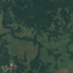
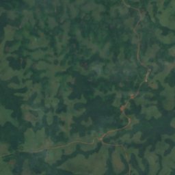
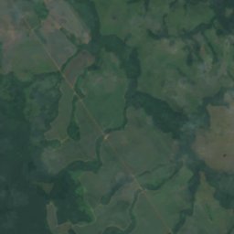
衛星: Sentinel-2 cloudless 2016(EOX IT Services GmbH) · CC BY 4.0 · 改変したCopernicus Sentinelデータ(2016年)を含みます
Chute de Poubara
Franceville, Haut-Ogooué



島
ガボンの島







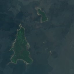




衛星: Sentinel-2 cloudless 2016(EOX IT Services GmbH) · CC BY 4.0 · 改変したCopernicus Sentinelデータ(2016年)を含みます
大エロベイ島
Cocobeach, Estuaire


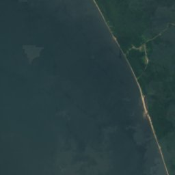
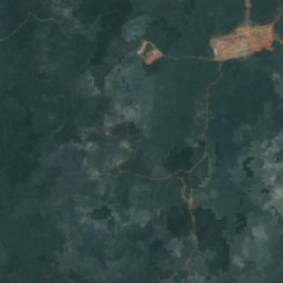
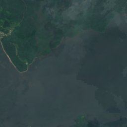
衛星: Sentinel-2 cloudless 2016(EOX IT Services GmbH) · CC BY 4.0 · 改変したCopernicus Sentinelデータ(2016年)を含みます
小エロベイ島
Cocobeach, Estuaire












衛星: Sentinel-2 cloudless 2016(EOX IT Services GmbH) · CC BY 4.0 · 改変したCopernicus Sentinelデータ(2016年)を含みます
Mbañe
Akanda, Estuaire
4 m

衛星: Sentinel-2 cloudless 2016(EOX IT Services GmbH) · CC BY 4.0 · 改変したCopernicus Sentinelデータ(2016年)を含みます
Islote Belobi
Cocobeach, Estuaire









衛星: Sentinel-2 cloudless 2016(EOX IT Services GmbH) · CC BY 4.0 · 改変したCopernicus Sentinelデータ(2016年)を含みます
Banc Acanda
Akanda, Estuaire




衛星: Sentinel-2 cloudless 2016(EOX IT Services GmbH) · CC BY 4.0 · 改変したCopernicus Sentinelデータ(2016年)を含みます
Banc Espinassy
Libreville, Estuaire



衛星: Sentinel-2 cloudless 2016(EOX IT Services GmbH) · CC BY 4.0 · 改変したCopernicus Sentinelデータ(2016年)を含みます
Banc Marabout
Cocobeach, Estuaire



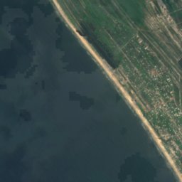
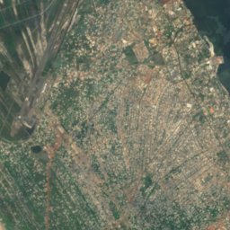
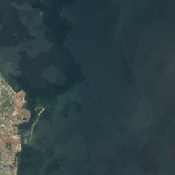


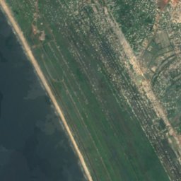
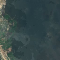
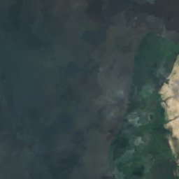
衛星: Sentinel-2 cloudless 2016(EOX IT Services GmbH) · CC BY 4.0 · 改変したCopernicus Sentinelデータ(2016年)を含みます
Banc Rousselot
Port-Gentil, Ogooué-Maritime


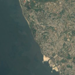



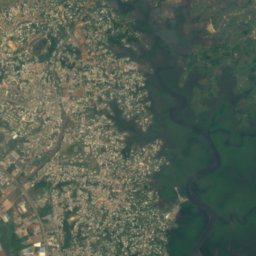
衛星: Sentinel-2 cloudless 2016(EOX IT Services GmbH) · CC BY 4.0 · 改変したCopernicus Sentinelデータ(2016年)を含みます
Banc de la Malouine
Libreville, Estuaire
全リスト:島27か所
- Banc Acanda
- Banc de la Malouine
- Banc de la Mouche
- Banc de la Recherche
- Banc des Cigognes
- Banc du Como
- Banc du Loiret
- Banc du Nisus
- Banc du Papillon
- Banc du Postillon
- Banc du Prince
- Banc du Rubis
- Banc du Talisman
- Banc Espinassy
- Banc Marabout
- Banc Rousselot
- Bancos de Elobey
- Bancos del Este
- Bancs de la Turquoise
- Isle of Saint Denis
- Islote Belobi
- Mbañe
- Récif Buyumba
- Roches Vialètes
- Sapania
- 小エロベイ島
- 大エロベイ島
川
ガボンの川


写真: Ismoon (talk) 19:53, 4 December 2019 (UTC) (with Photoshop from Le Tour du Monde · CC BY-SA 4.0 · Wikimedia Commonsこの写真を報告 · リンクのみ、保存なし
Mpassa River
Franceville, Haut-Ogooué
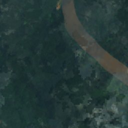
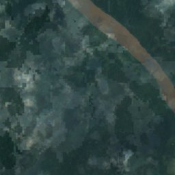
衛星: Sentinel-2 cloudless 2016(EOX IT Services GmbH) · CC BY 4.0 · 改変したCopernicus Sentinelデータ(2016年)を含みます
ングニエ川
Lambaréné, Moyen-Ogooué
衛星: Sentinel-2 cloudless 2016(EOX IT Services GmbH) · CC BY 4.0 · 改変したCopernicus Sentinelデータ(2016年)を含みます
Mitong River
Médouneu, Woleu-Ntem
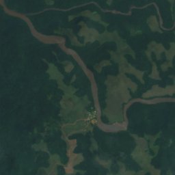
衛星: Sentinel-2 cloudless 2016(EOX IT Services GmbH) · CC BY 4.0 · 改変したCopernicus Sentinelデータ(2016年)を含みます
Lekoni River
Mounana, Haut-Ogooué
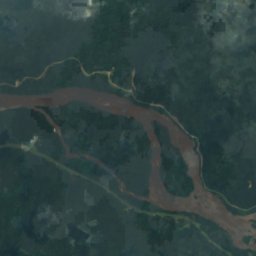
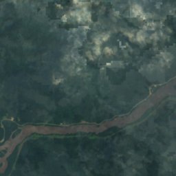
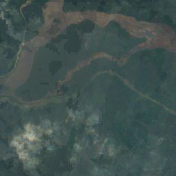
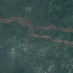

衛星: Sentinel-2 cloudless 2016(EOX IT Services GmbH) · CC BY 4.0 · 改変したCopernicus Sentinelデータ(2016年)を含みます
Okano
Ndjolé, Moyen-Ogooué
衛星: Sentinel-2 cloudless 2016(EOX IT Services GmbH) · CC BY 4.0 · 改変したCopernicus Sentinelデータ(2016年)を含みます
Oua River
Makokou, Ogooué-Ivindo
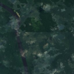
衛星: Sentinel-2 cloudless 2016(EOX IT Services GmbH) · CC BY 4.0 · 改変したCopernicus Sentinelデータ(2016年)を含みます
Djadié
Makokou, Ogooué-Ivindo
478 m
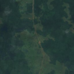
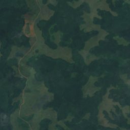
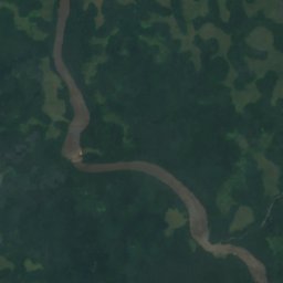
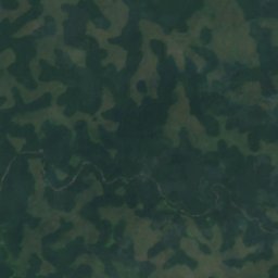


衛星: Sentinel-2 cloudless 2016(EOX IT Services GmbH) · CC BY 4.0 · 改変したCopernicus Sentinelデータ(2016年)を含みます
Lekabi River
Mounana, Haut-Ogooué