Natur
Wasser, Eis und Wildnis in Mali
Seen, Wasserfälle, Gletscher, Nationalparks und Berghütten – jeweils mit Lage, Größe und dem Wetter der Orte ringsum.
Seen3mit eigener Seite
Wasserfälle3mit eigener Seite
Nationalparks1mit eigener Seite
Inseln8mit eigener Seite

Seen
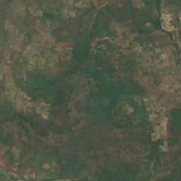
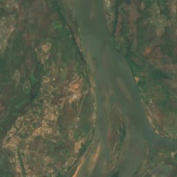
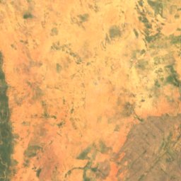
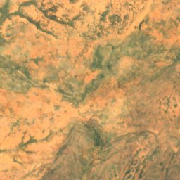
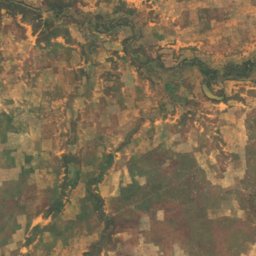
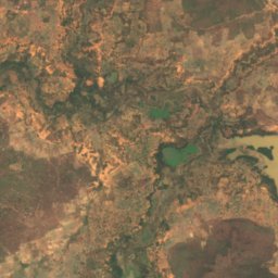
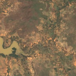
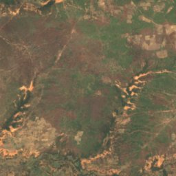
Seen Malis
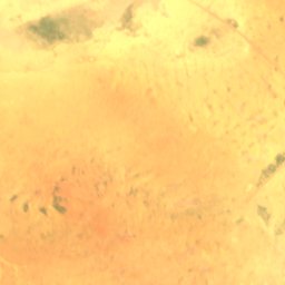
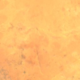
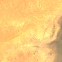
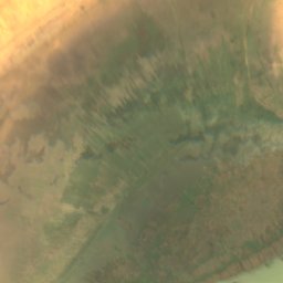
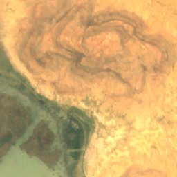
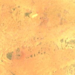
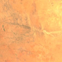
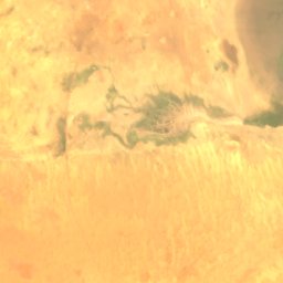
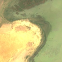
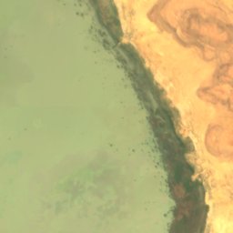
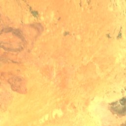
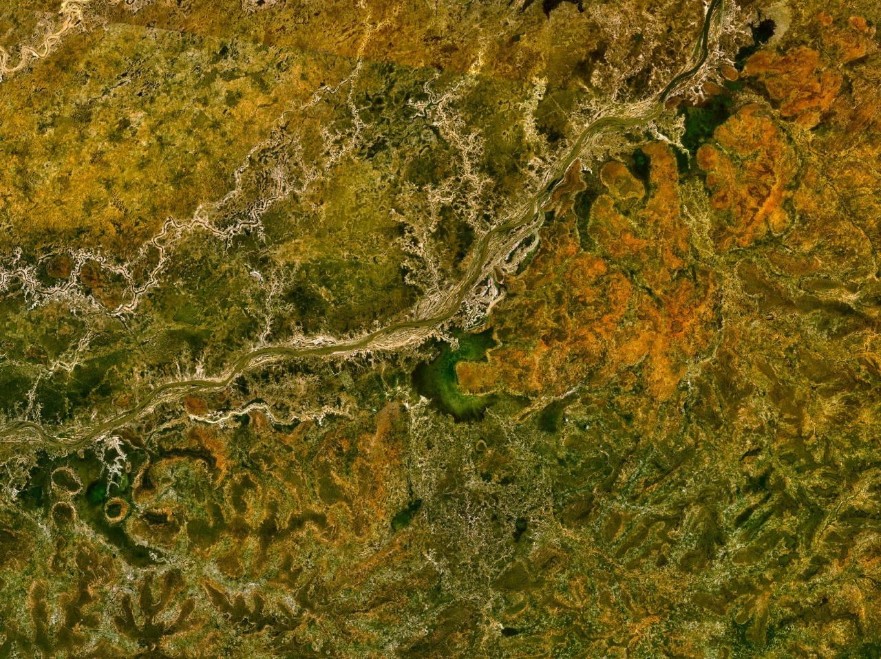
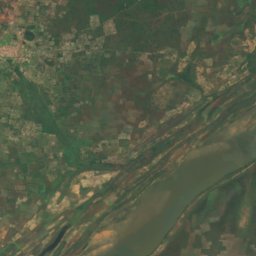
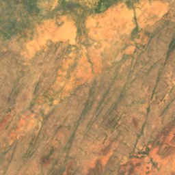
Satellit: Sentinel-2 cloudless 2016 by EOX IT Services GmbH · CC BY 4.0 · Contains modified Copernicus Sentinel data 2016
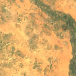
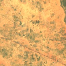
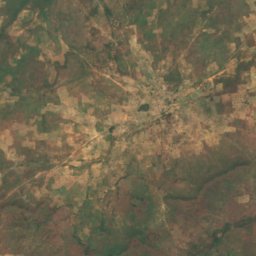
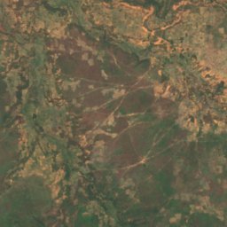
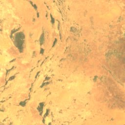
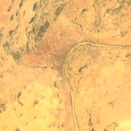
Lac Fati
Goundam, Tombouctou
Wasserfälle
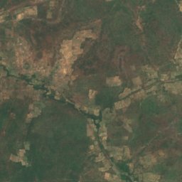
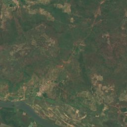
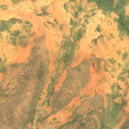
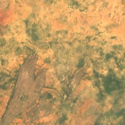
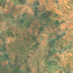
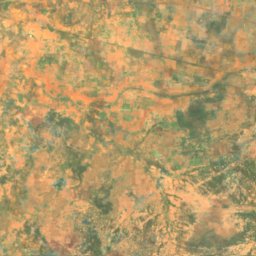
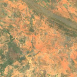
Wasserfälle Malis


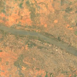
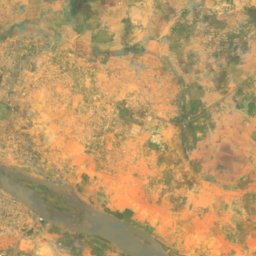
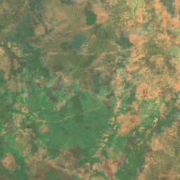
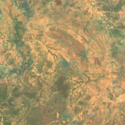
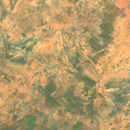
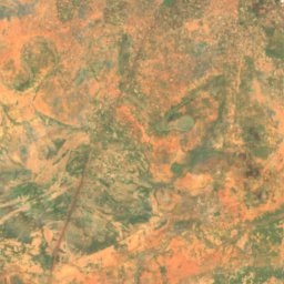
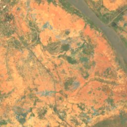
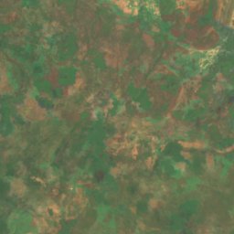
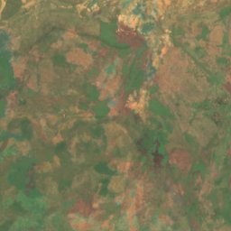
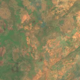
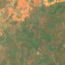
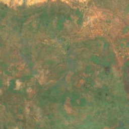
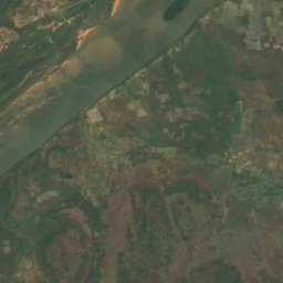
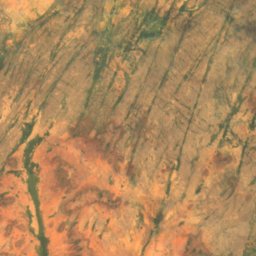
Satellit: Sentinel-2 cloudless 2016 by EOX IT Services GmbH · CC BY 4.0 · Contains modified Copernicus Sentinel data 2016
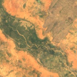
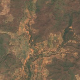
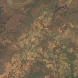
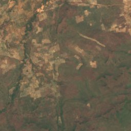
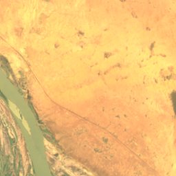
Chutes du Papara
Kayes, Kayes
45 m
Nationalparks
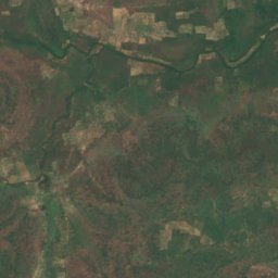
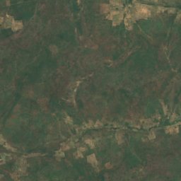
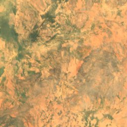
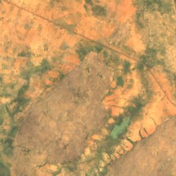
Nationalparks Malis
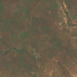
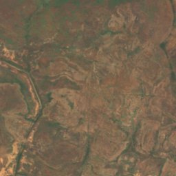
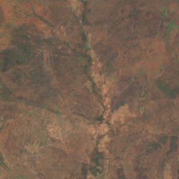
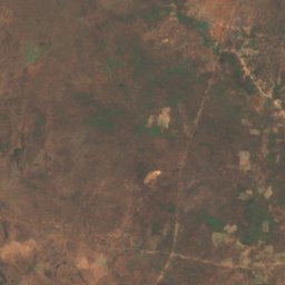
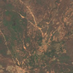
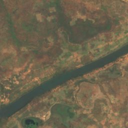
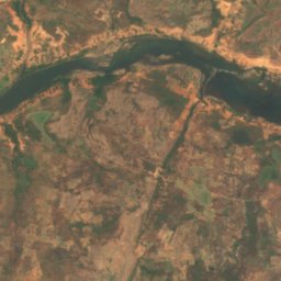
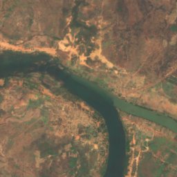
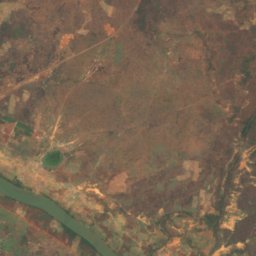
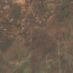
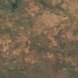
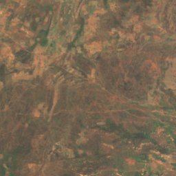
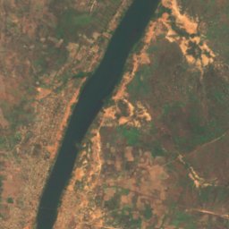
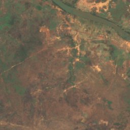
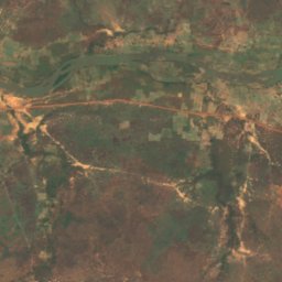
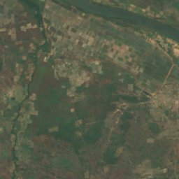
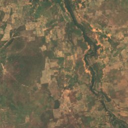
Satellit: Sentinel-2 cloudless 2016 by EOX IT Services GmbH · CC BY 4.0 · Contains modified Copernicus Sentinel data 2016
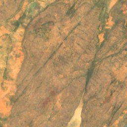
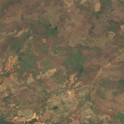
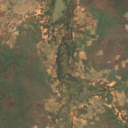
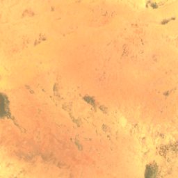
Parc national du Bafing
Bafoulabé, Kayes
Inseln
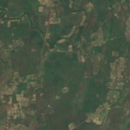
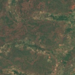
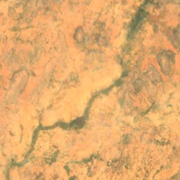
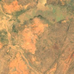
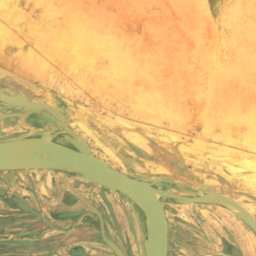
Inseln Malis

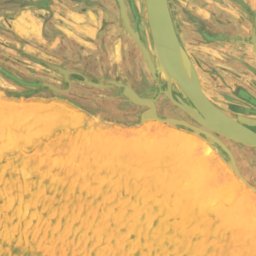
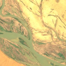
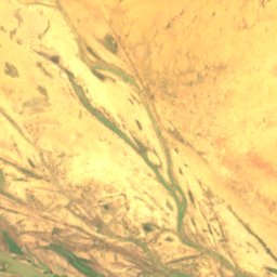
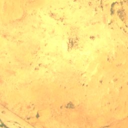
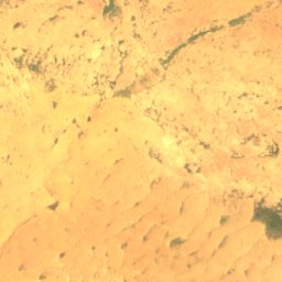
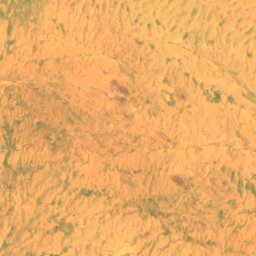
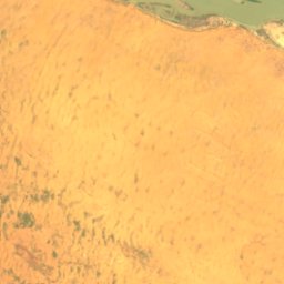
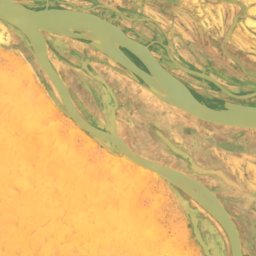
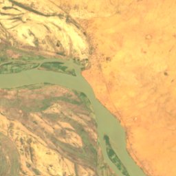
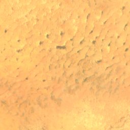
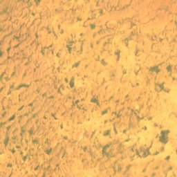
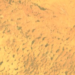
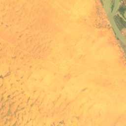
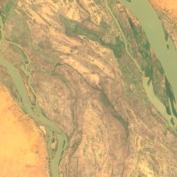
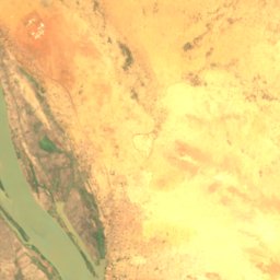
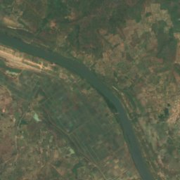
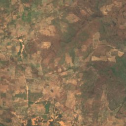
Satellit: Sentinel-2 cloudless 2016 by EOX IT Services GmbH · CC BY 4.0 · Contains modified Copernicus Sentinel data 2016
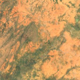
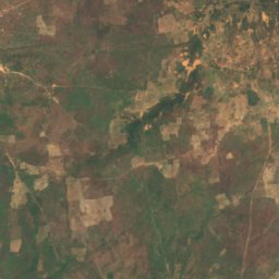
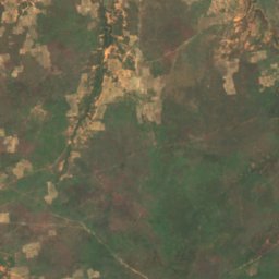
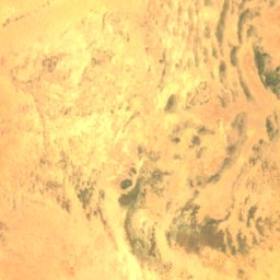
Barbi
Ansongo, Gao
246 m
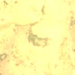
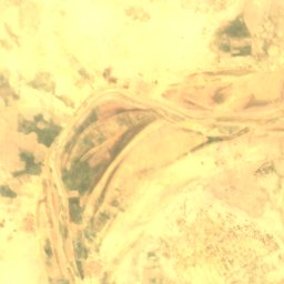
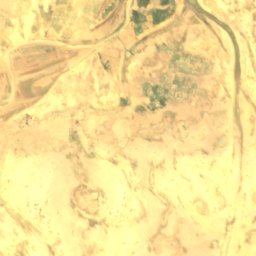
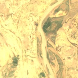
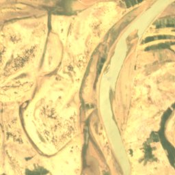
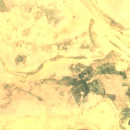
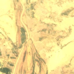
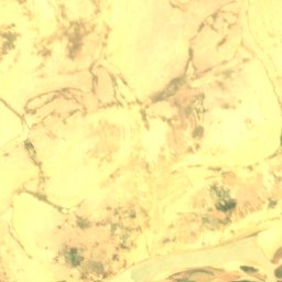
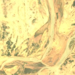
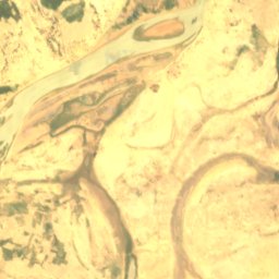
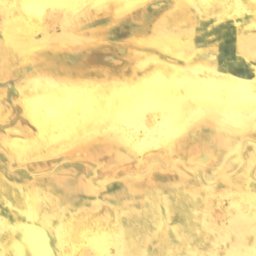
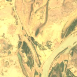
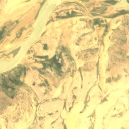
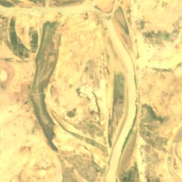
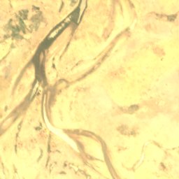
Satellit: Sentinel-2 cloudless 2016 by EOX IT Services GmbH · CC BY 4.0 · Contains modified Copernicus Sentinel data 2016
Dibalo
Diré, Tombouctou
263 m
Satellit: Sentinel-2 cloudless 2016 by EOX IT Services GmbH · CC BY 4.0 · Contains modified Copernicus Sentinel data 2016
Dyowèbangou
Diré, Tombouctou
262 m
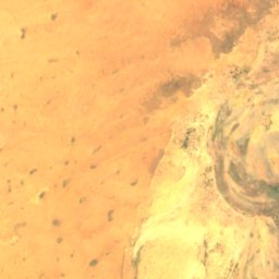
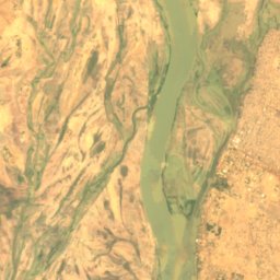
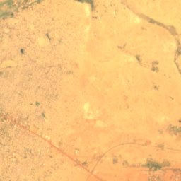
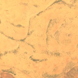
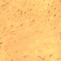
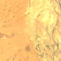
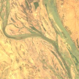
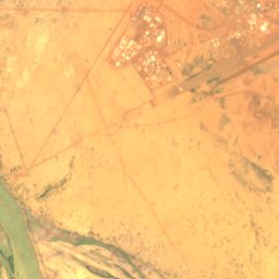
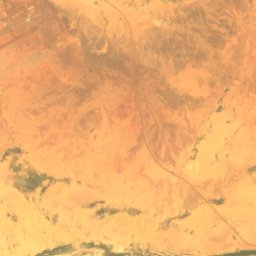
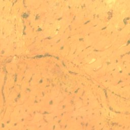
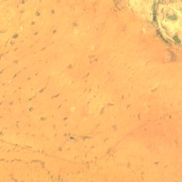
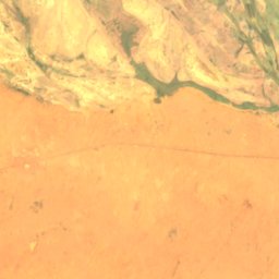
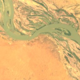
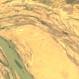
Satellit: Sentinel-2 cloudless 2016 by EOX IT Services GmbH · CC BY 4.0 · Contains modified Copernicus Sentinel data 2016
Goumzari
Gao, Gao
248 m
Satellit: Sentinel-2 cloudless 2016 by EOX IT Services GmbH · CC BY 4.0 · Contains modified Copernicus Sentinel data 2016
Goungoumari
Gao, Gao
250 m
Flüsse