자연
말리의 물가, 빙하, 야생
호수, 폭포, 빙하, 국립공원, 산장. 각각의 위치, 규모, 주변 날씨를 소개합니다.
호수3곳(개별 페이지 있음)
폭포3곳(개별 페이지 있음)
국립공원1곳(개별 페이지 있음)
섬8곳(개별 페이지 있음)

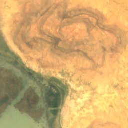
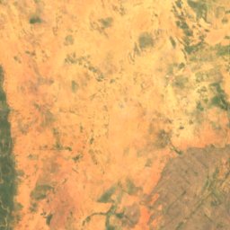
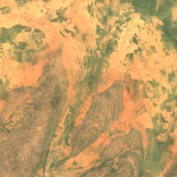
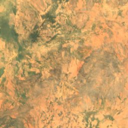
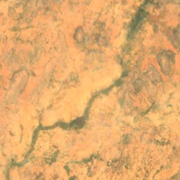
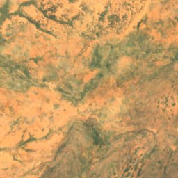
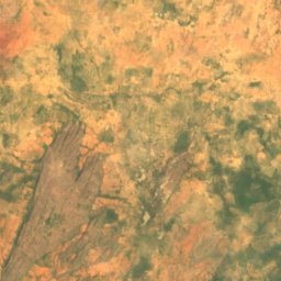
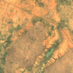
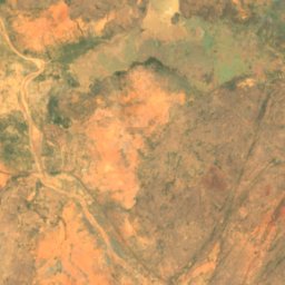
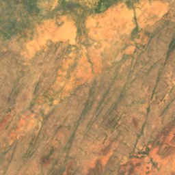
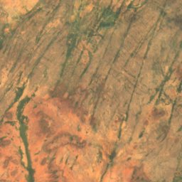
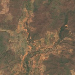
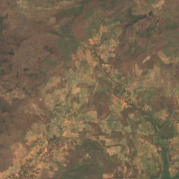
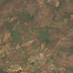
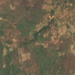
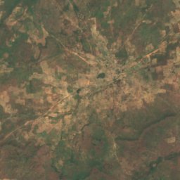
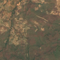
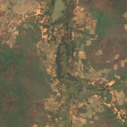
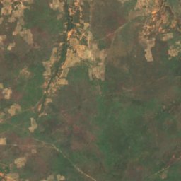
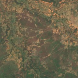
폭포
말리의 폭포


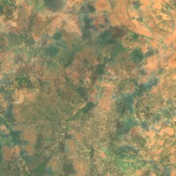
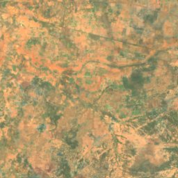
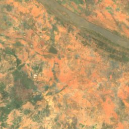
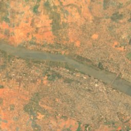
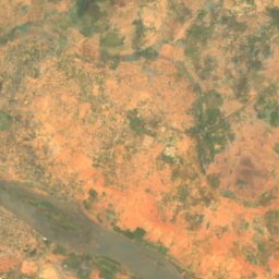
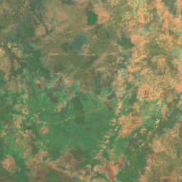
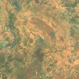
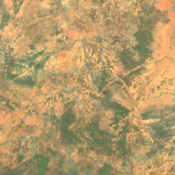
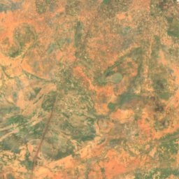
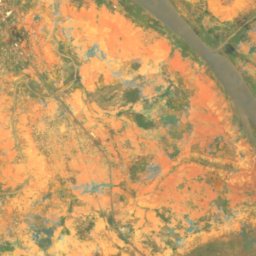
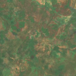
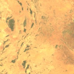
위성: Sentinel-2 cloudless 2016(EOX IT Services GmbH) · CC BY 4.0 · 수정된 Copernicus Sentinel 데이터(2016) 포함
Chutes du Papara
Kayes, Kayes
45 m
국립공원
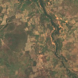
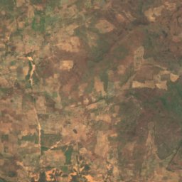
말리의 국립공원
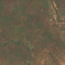
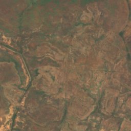
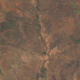
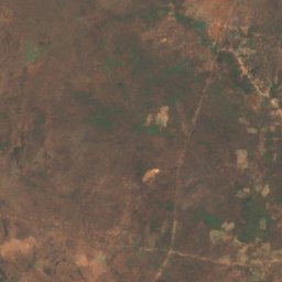
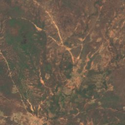
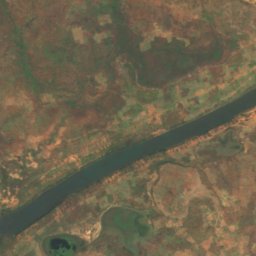
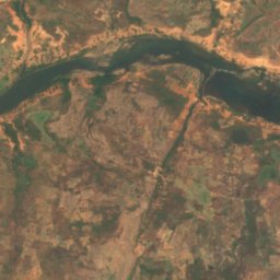
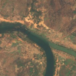
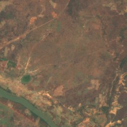
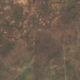
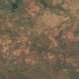
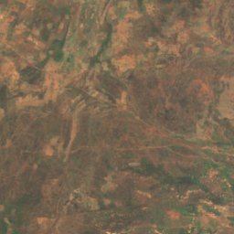
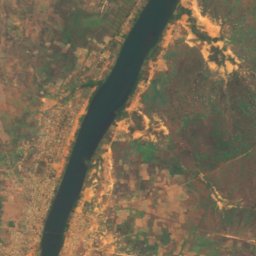
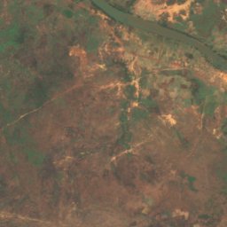
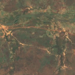
위성: Sentinel-2 cloudless 2016(EOX IT Services GmbH) · CC BY 4.0 · 수정된 Copernicus Sentinel 데이터(2016) 포함
Bafing National Park
Bafoulabé, Kayes
섬
말리의 섬

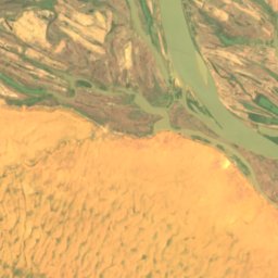
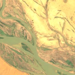
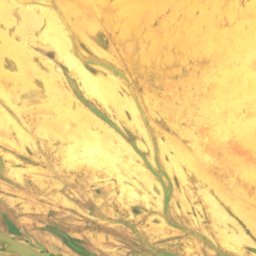
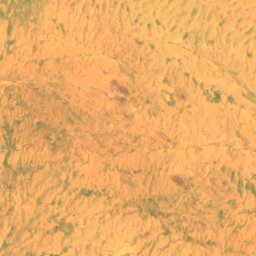
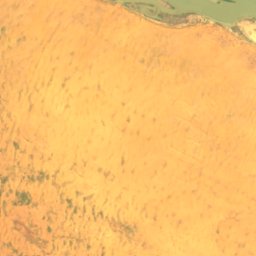
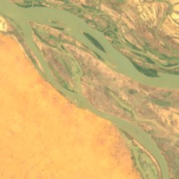
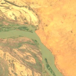
위성: Sentinel-2 cloudless 2016(EOX IT Services GmbH) · CC BY 4.0 · 수정된 Copernicus Sentinel 데이터(2016) 포함
Barbi
Ansongo, Gao
246 m
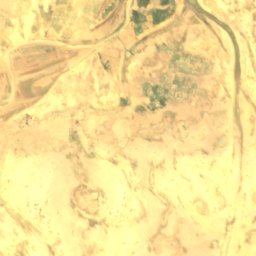
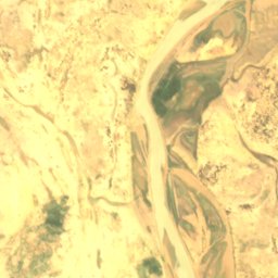
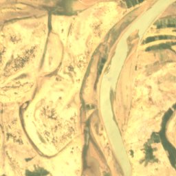
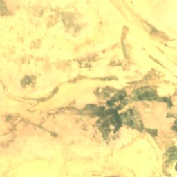
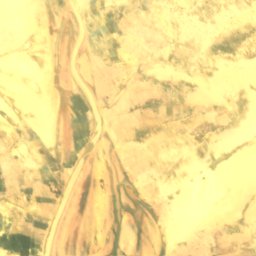
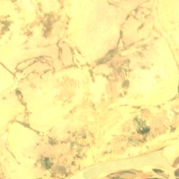
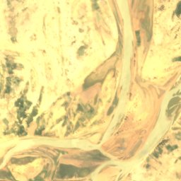
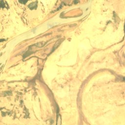
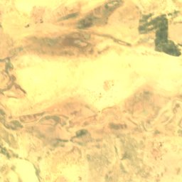
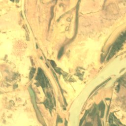
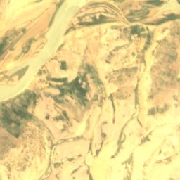
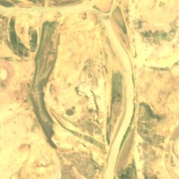
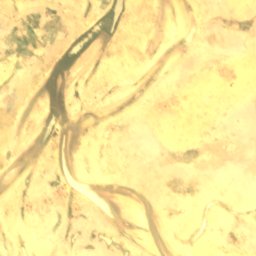
위성: Sentinel-2 cloudless 2016(EOX IT Services GmbH) · CC BY 4.0 · 수정된 Copernicus Sentinel 데이터(2016) 포함
Dibalo
Diré, Tombouctou
263 m
위성: Sentinel-2 cloudless 2016(EOX IT Services GmbH) · CC BY 4.0 · 수정된 Copernicus Sentinel 데이터(2016) 포함
Dyowèbangou
Diré, Tombouctou
262 m
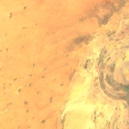
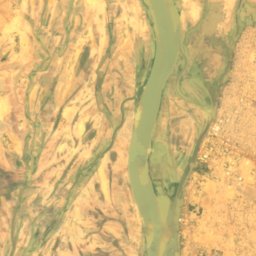
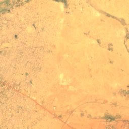
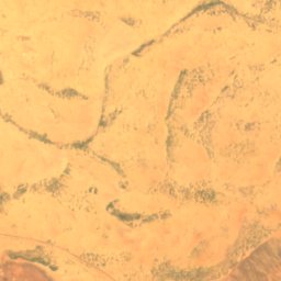
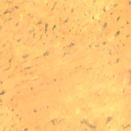
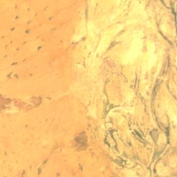
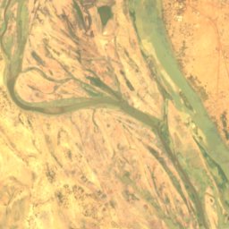
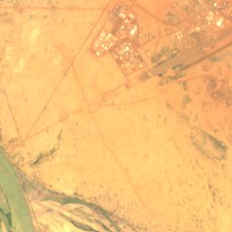
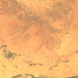
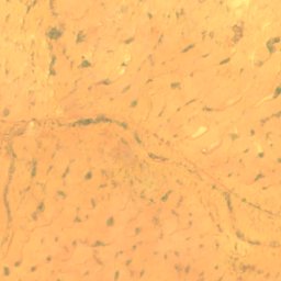
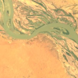
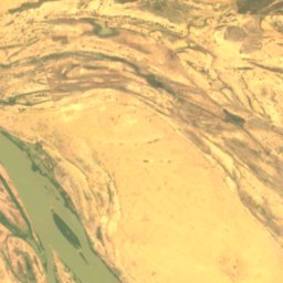
위성: Sentinel-2 cloudless 2016(EOX IT Services GmbH) · CC BY 4.0 · 수정된 Copernicus Sentinel 데이터(2016) 포함
Goumzari
Gao, Gao
248 m
위성: Sentinel-2 cloudless 2016(EOX IT Services GmbH) · CC BY 4.0 · 수정된 Copernicus Sentinel 데이터(2016) 포함
Goungoumari
Gao, Gao
250 m
강
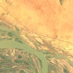
말리의 강
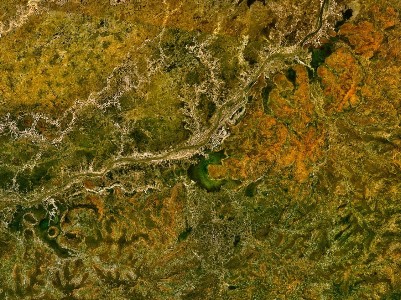
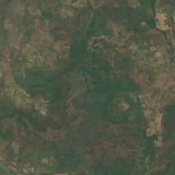
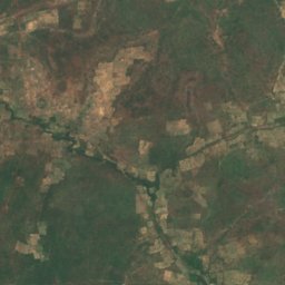
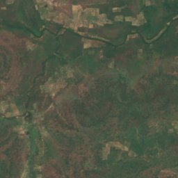
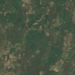
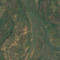
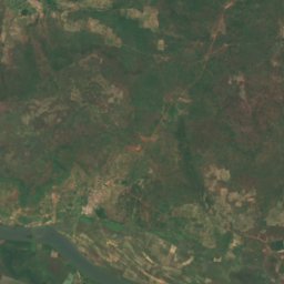
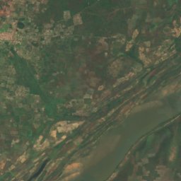
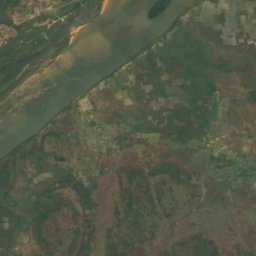
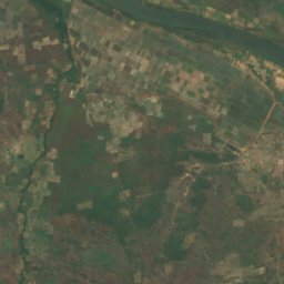
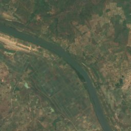


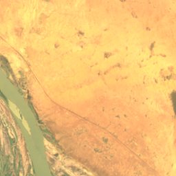
위성: Sentinel-2 cloudless 2016(EOX IT Services GmbH) · CC BY 4.0 · 수정된 Copernicus Sentinel 데이터(2016) 포함
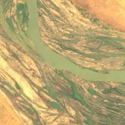
Sankarani River
Kangaba, Koulikoro