ธรรมชาติ
แหล่งน้ำ ธารน้ำแข็ง และธรรมชาติอันกว้างใหญ่ของมาลี
ทะเลสาบ น้ำตก ธารน้ำแข็ง อุทยานแห่งชาติ และที่พักบนภูเขา แต่ละแห่งพร้อมที่ตั้ง ขนาด และสภาพอากาศโดยรอบ
ทะเลสาบ3แต่ละแห่งมีหน้าของตัวเอง
น้ำตก3แต่ละแห่งมีหน้าของตัวเอง
อุทยานแห่งชาติ1แต่ละแห่งมีหน้าของตัวเอง
เกาะ8แต่ละแห่งมีหน้าของตัวเอง

ภาพ: Jacques Taberlet · CC BY-SA 3.0 · Wikimedia Commonsแจ้งเกี่ยวกับภาพนี้ · ลิงก์ไปยังต้นทาง ไม่จัดเก็บ
ทะเลสาบ
ทะเลสาบในมาลี

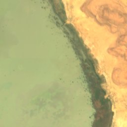
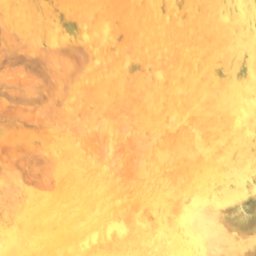
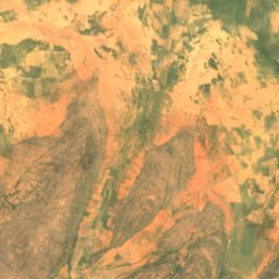
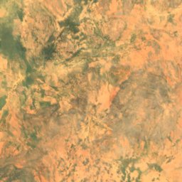
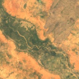
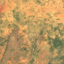
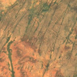
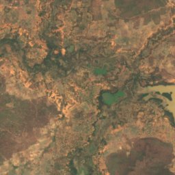
ดาวเทียม: Sentinel-2 cloudless 2016 โดย EOX IT Services GmbH · CC BY 4.0 · มีข้อมูล Copernicus Sentinel (2016) ที่ดัดแปลงแล้ว
Lac Fati
Goundam, Tombouctou
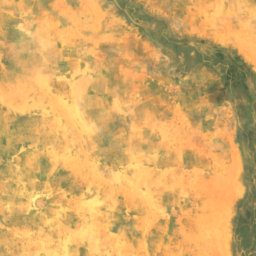
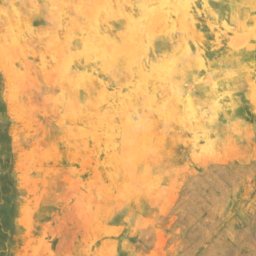
น้ำตก
น้ำตกในมาลี

ภาพ: Jacques Taberlet · CC BY-SA 3.0 · Wikimedia Commonsแจ้งเกี่ยวกับภาพนี้ · ลิงก์ไปยังต้นทาง ไม่จัดเก็บ
Gouina Falls
Diamou, Kayes
64 m

ภาพ: Jacques Taberlet · CC BY 3.0 · Wikimedia Commonsแจ้งเกี่ยวกับภาพนี้ · ลิงก์ไปยังต้นทาง ไม่จัดเก็บ
Félou Falls
Kayes, Kayes
34 m
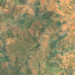
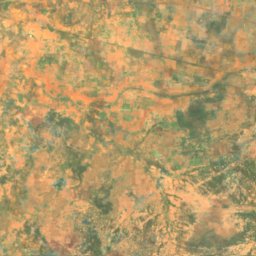
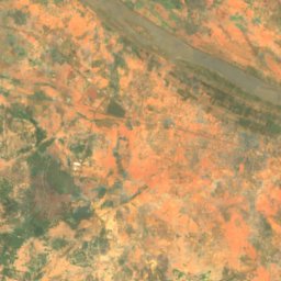
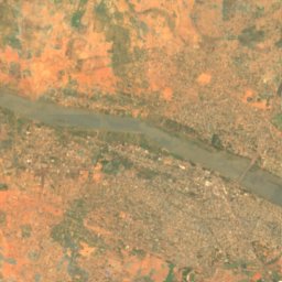
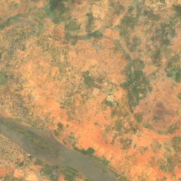
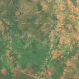
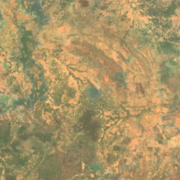
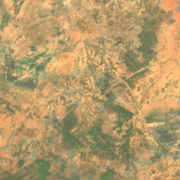
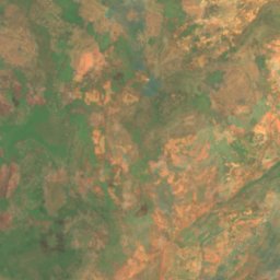
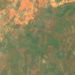
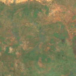
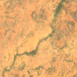
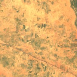
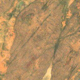
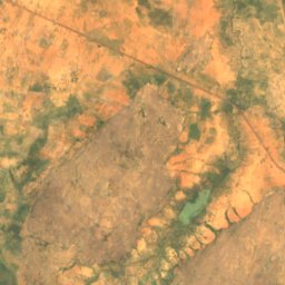
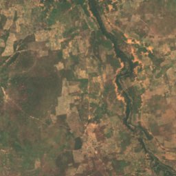
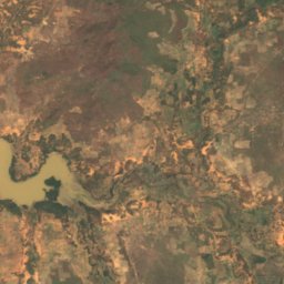
ดาวเทียม: Sentinel-2 cloudless 2016 โดย EOX IT Services GmbH · CC BY 4.0 · มีข้อมูล Copernicus Sentinel (2016) ที่ดัดแปลงแล้ว
Chutes du Papara
Kayes, Kayes
45 m
อุทยานแห่งชาติ
อุทยานแห่งชาติในมาลี
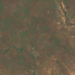
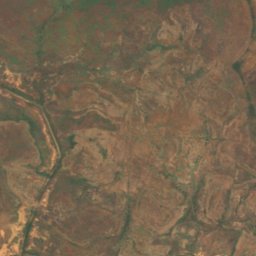
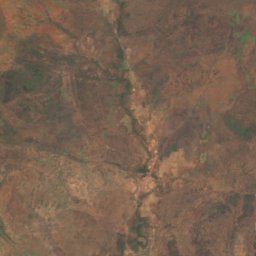
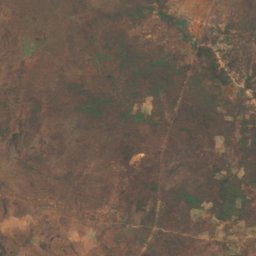
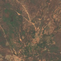
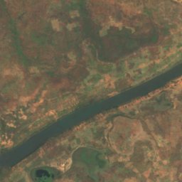
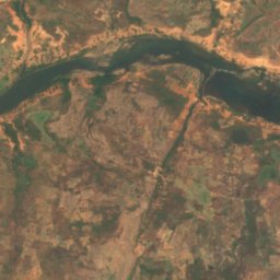
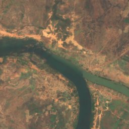
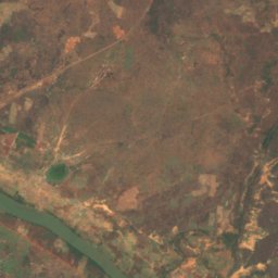
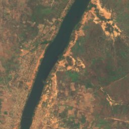
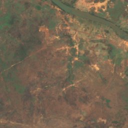
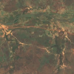
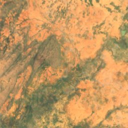
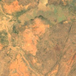
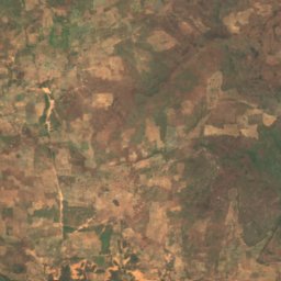
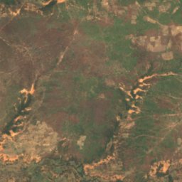
ดาวเทียม: Sentinel-2 cloudless 2016 โดย EOX IT Services GmbH · CC BY 4.0 · มีข้อมูล Copernicus Sentinel (2016) ที่ดัดแปลงแล้ว
Bafing National Park
Bafoulabé, Kayes
เกาะ
เกาะในมาลี

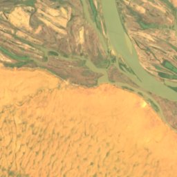
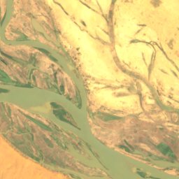
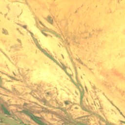
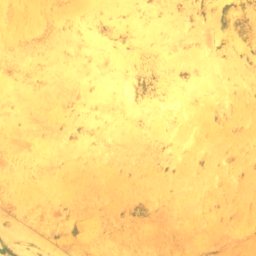
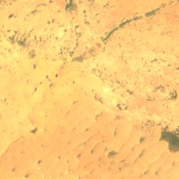
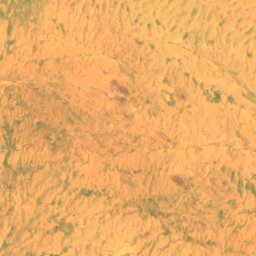
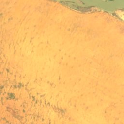
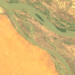
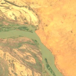
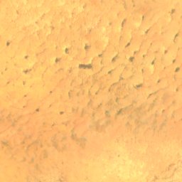
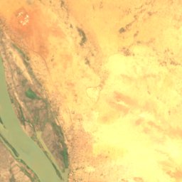
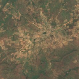
ดาวเทียม: Sentinel-2 cloudless 2016 โดย EOX IT Services GmbH · CC BY 4.0 · มีข้อมูล Copernicus Sentinel (2016) ที่ดัดแปลงแล้ว
Barbi
Ansongo, Gao
246 m
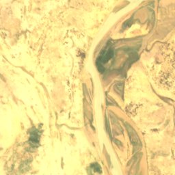
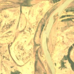
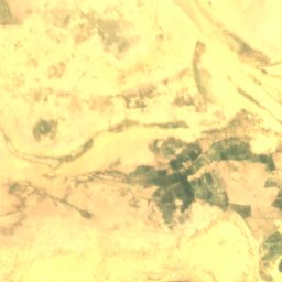
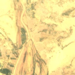
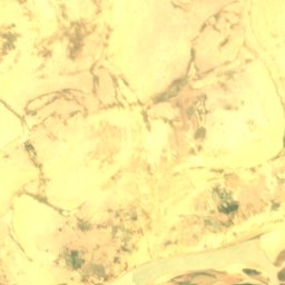
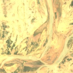
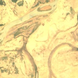
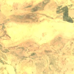
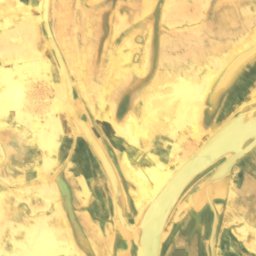
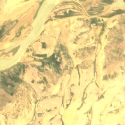
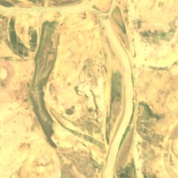
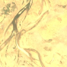
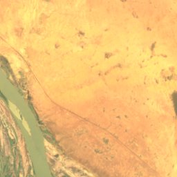
ดาวเทียม: Sentinel-2 cloudless 2016 โดย EOX IT Services GmbH · CC BY 4.0 · มีข้อมูล Copernicus Sentinel (2016) ที่ดัดแปลงแล้ว
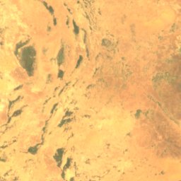
Dibalo
Diré, Tombouctou
263 m
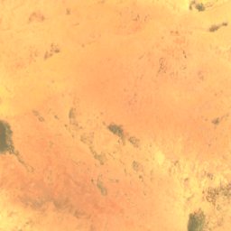
ดาวเทียม: Sentinel-2 cloudless 2016 โดย EOX IT Services GmbH · CC BY 4.0 · มีข้อมูล Copernicus Sentinel (2016) ที่ดัดแปลงแล้ว
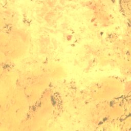
Dyowèbangou
Diré, Tombouctou
262 m
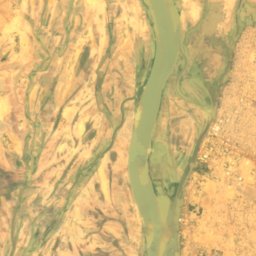
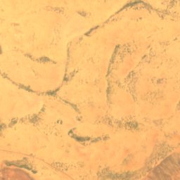
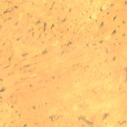
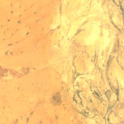
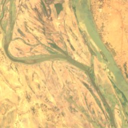
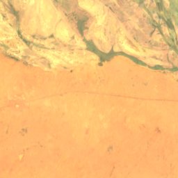
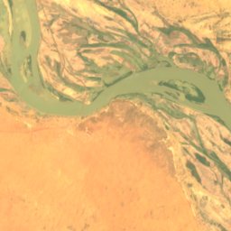
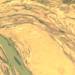
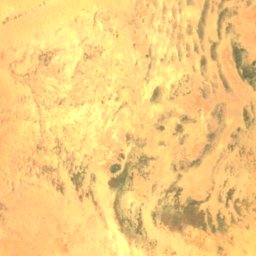
ดาวเทียม: Sentinel-2 cloudless 2016 โดย EOX IT Services GmbH · CC BY 4.0 · มีข้อมูล Copernicus Sentinel (2016) ที่ดัดแปลงแล้ว
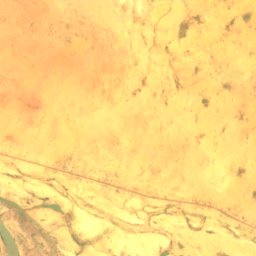
Goumzari
Gao, Gao
248 m
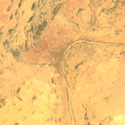
ดาวเทียม: Sentinel-2 cloudless 2016 โดย EOX IT Services GmbH · CC BY 4.0 · มีข้อมูล Copernicus Sentinel (2016) ที่ดัดแปลงแล้ว
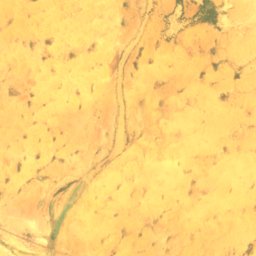
Goungoumari
Gao, Gao
250 m
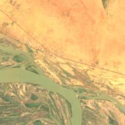
แม่น้ำ
แม่น้ำในมาลี
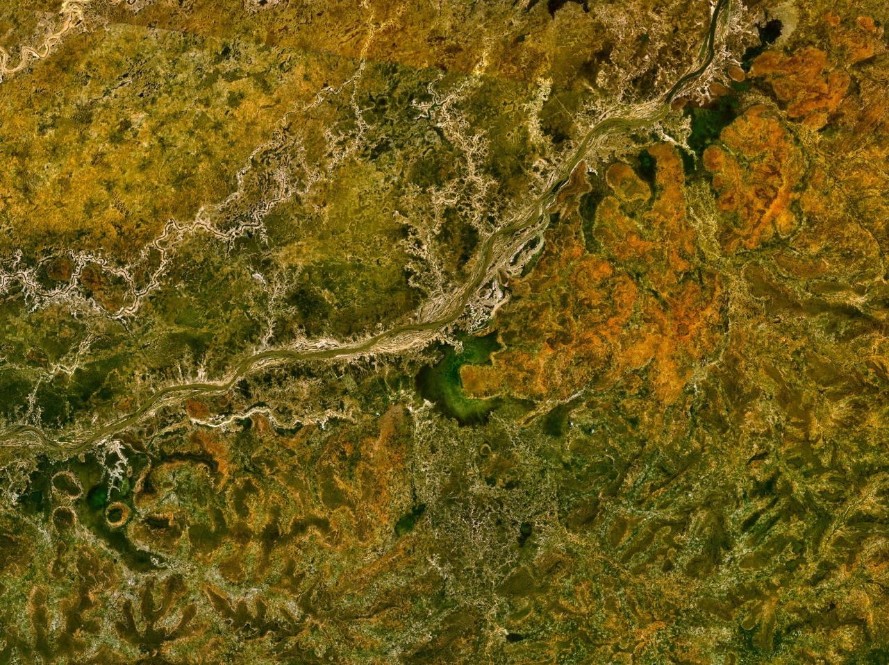
ภาพ: Unknown author · Public domain · Wikimedia Commonsแจ้งเกี่ยวกับภาพนี้ · ลิงก์ไปยังต้นทาง ไม่จัดเก็บ
Bani River
Mopti, Mopti
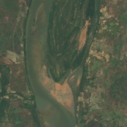
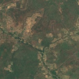
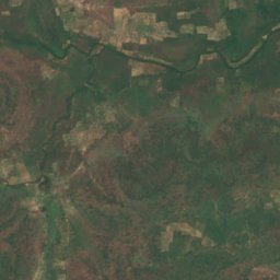
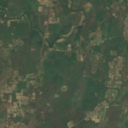
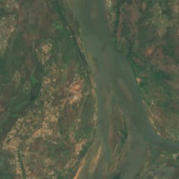
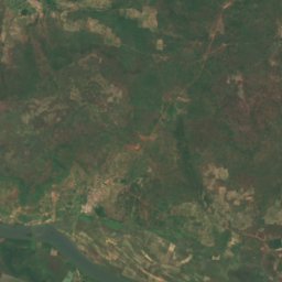
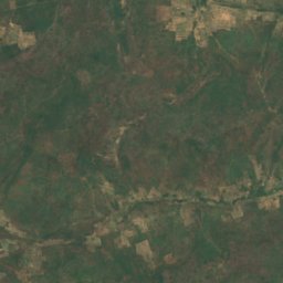
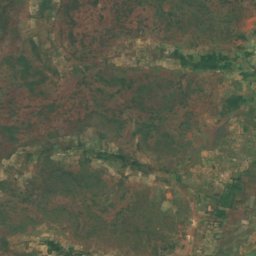
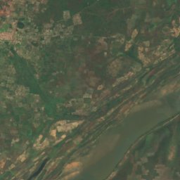
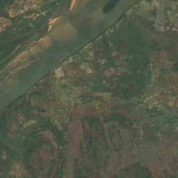
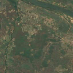
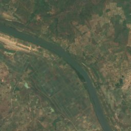


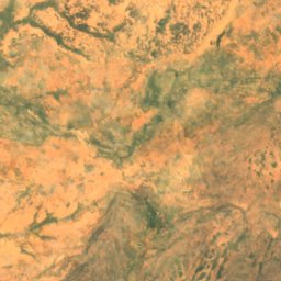
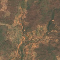
ดาวเทียม: Sentinel-2 cloudless 2016 โดย EOX IT Services GmbH · CC BY 4.0 · มีข้อมูล Copernicus Sentinel (2016) ที่ดัดแปลงแล้ว
Sankarani River
Kangaba, Koulikoro