Przyroda
Woda, lód i dzika przyroda Sudanu
Jeziora, wodospady, lodowce, parki narodowe i schroniska górskie – każde z położeniem, wielkością i pogodą w pobliskich miejscowościach.
Jeziora4z własną stroną
Wyspy24z własną stroną
Rzeki7z własną stroną

Zdjęcie: NASA · Public domain · Wikimedia CommonsZgłoś to zdjęcie · wyświetlane przez odnośnik, nie kopiowane
Jeziora
Jeziora Sudanu
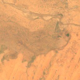
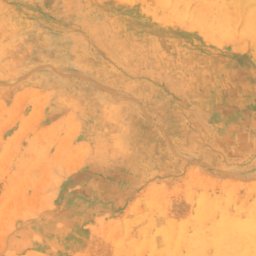
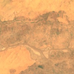
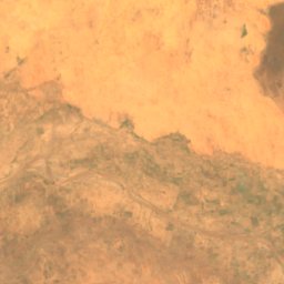
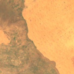
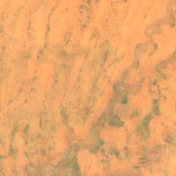
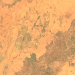
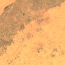
Satelita: Sentinel-2 cloudless 2016 – EOX IT Services GmbH · CC BY 4.0 · Zawiera zmodyfikowane dane Copernicus Sentinel (2016)
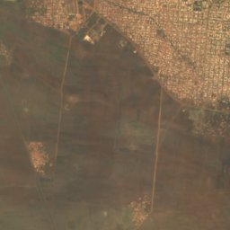
خزان قولو
El Fasher, Northern Darfur
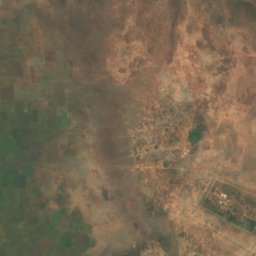
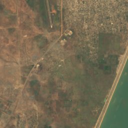
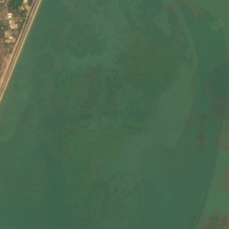
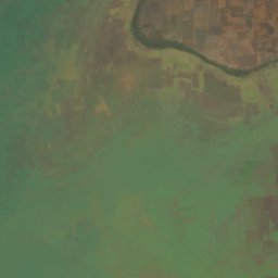
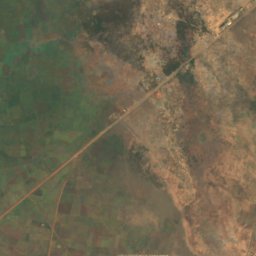
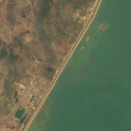
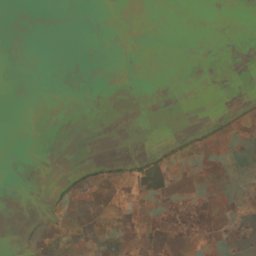
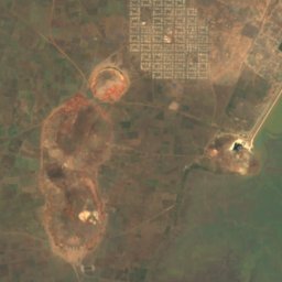
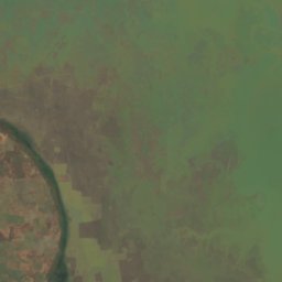
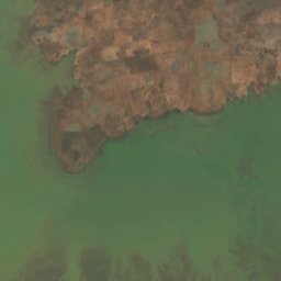
Satelita: Sentinel-2 cloudless 2016 – EOX IT Services GmbH · CC BY 4.0 · Zawiera zmodyfikowane dane Copernicus Sentinel (2016)
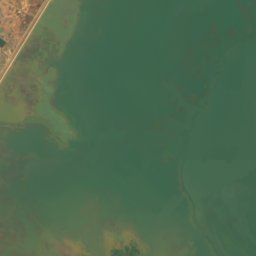
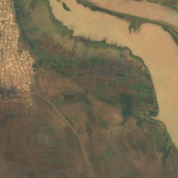
Roseires Reservoir
Ad-Damazin, Blue Nile
290 km²

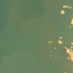
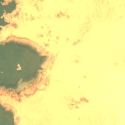
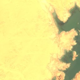
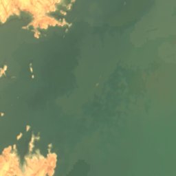
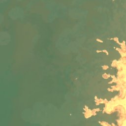
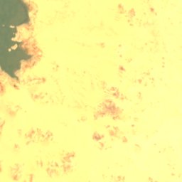
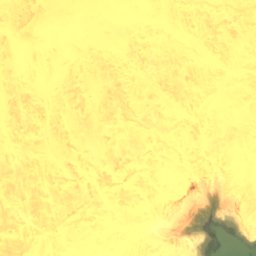
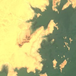
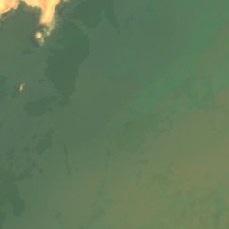
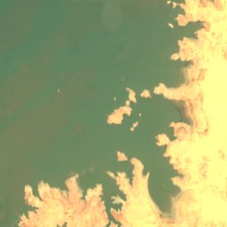
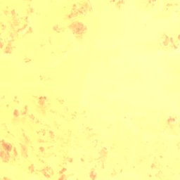
Satelita: Sentinel-2 cloudless 2016 – EOX IT Services GmbH · CC BY 4.0 · Zawiera zmodyfikowane dane Copernicus Sentinel (2016)
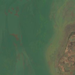
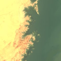
بحيرة النوبة
Wadi Halfa, Northern State
183 m
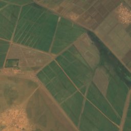
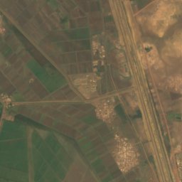
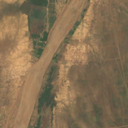
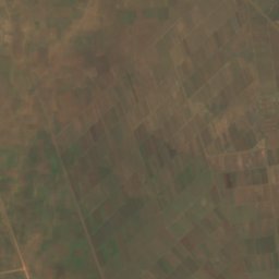
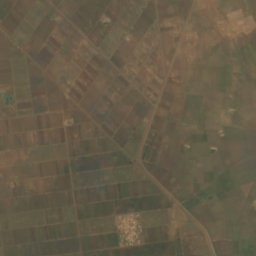
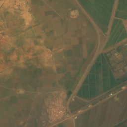
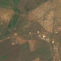
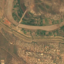
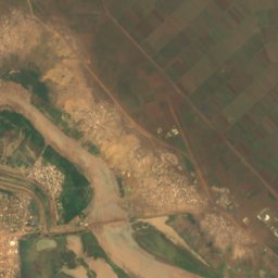
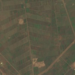
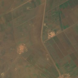
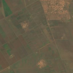
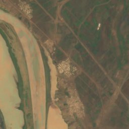
Satelita: Sentinel-2 cloudless 2016 – EOX IT Services GmbH · CC BY 4.0 · Zawiera zmodyfikowane dane Copernicus Sentinel (2016)
Sennar Reservoir
Sennar, Sennar
Wyspy
Wyspy Sudanu

Zdjęcie: NASA · Public domain · Wikimedia CommonsZgłoś to zdjęcie · wyświetlane przez odnośnik, nie kopiowane
توتي
Omdurman, Khartoum

Zdjęcie: Bruce Allardice · CC BY-SA 2.0 · Wikimedia CommonsZgłoś to zdjęcie · wyświetlane przez odnośnik, nie kopiowane
جزيرة أرقو
Argo, Northern State
222 m
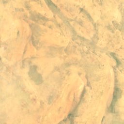
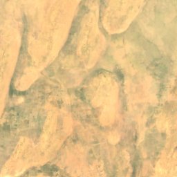
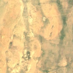
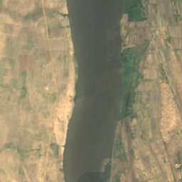
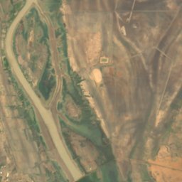
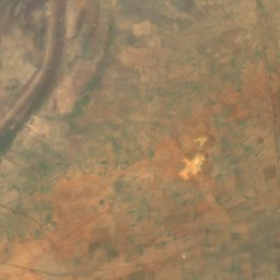
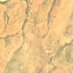
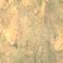
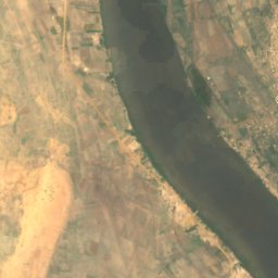
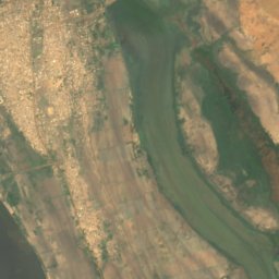
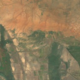
Satelita: Sentinel-2 cloudless 2016 – EOX IT Services GmbH · CC BY 4.0 · Zawiera zmodyfikowane dane Copernicus Sentinel (2016)
جزيرة آبا
Kosti, White Nile
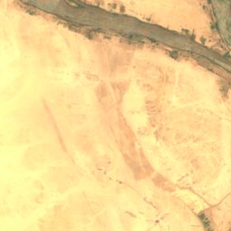
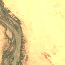

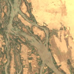

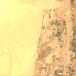
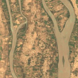
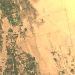
Satelita: Sentinel-2 cloudless 2016 – EOX IT Services GmbH · CC BY 4.0 · Zawiera zmodyfikowane dane Copernicus Sentinel (2016)
تومبوس
Kerma, Northern State
Satelita: Sentinel-2 cloudless 2016 – EOX IT Services GmbH · CC BY 4.0 · Zawiera zmodyfikowane dane Copernicus Sentinel (2016)
جزيرة بدين
Kerma, Northern State
222 m
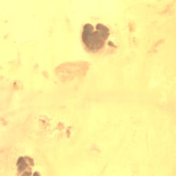
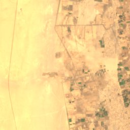
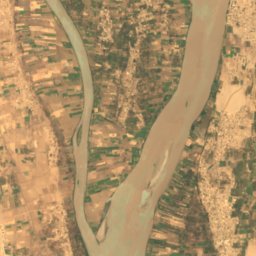
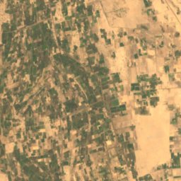
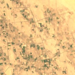
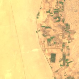
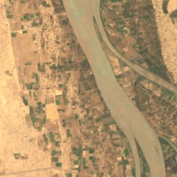
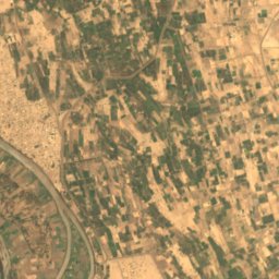
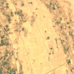
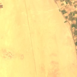
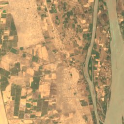
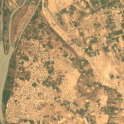
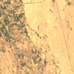
Satelita: Sentinel-2 cloudless 2016 – EOX IT Services GmbH · CC BY 4.0 · Zawiera zmodyfikowane dane Copernicus Sentinel (2016)
Artigashi Island
Argo, Northern State
227 m
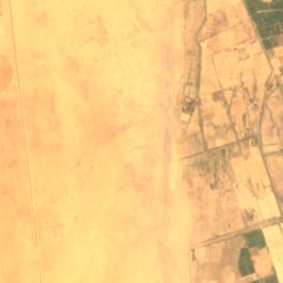
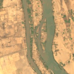

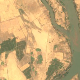
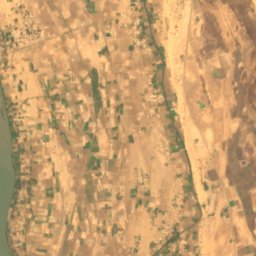
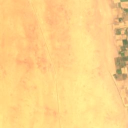
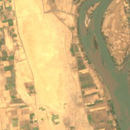
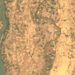
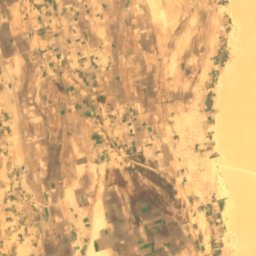
Satelita: Sentinel-2 cloudless 2016 – EOX IT Services GmbH · CC BY 4.0 · Zawiera zmodyfikowane dane Copernicus Sentinel (2016)
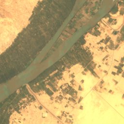
Irs Island
Dongola, Northern State
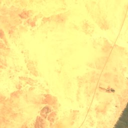
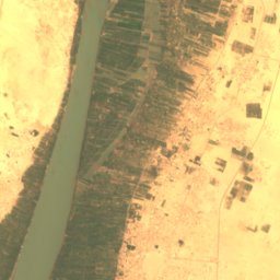
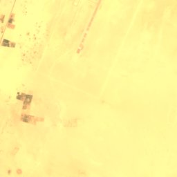
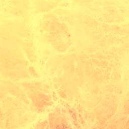
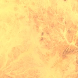
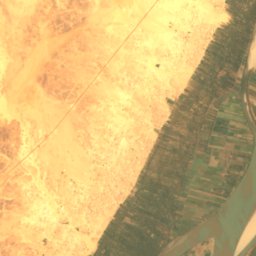
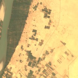
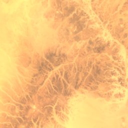
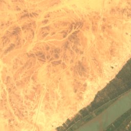
Satelita: Sentinel-2 cloudless 2016 – EOX IT Services GmbH · CC BY 4.0 · Zawiera zmodyfikowane dane Copernicus Sentinel (2016)
Abu Rannat Island
Merowe, Northern State
251 m
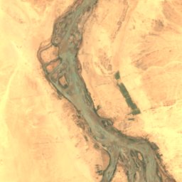
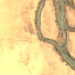
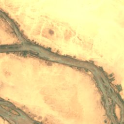
Satelita: Sentinel-2 cloudless 2016 – EOX IT Services GmbH · CC BY 4.0 · Zawiera zmodyfikowane dane Copernicus Sentinel (2016)
Akur Island
Kerma, Northern State
212 m
Pełna lista (24): wyspy
Rzeki
Rzeki Sudanu

Zdjęcie: © Vyacheslav Argenberg · CC BY 4.0 · Wikimedia CommonsZgłoś to zdjęcie · wyświetlane przez odnośnik, nie kopiowane
Nil
Omdurman, Khartoum

Zdjęcie: A.Savin · FAL · Wikimedia CommonsZgłoś to zdjęcie · wyświetlane przez odnośnik, nie kopiowane
Nil Błękitny
Omdurman, Khartoum
1786 m

Zdjęcie: Unknown authorUnknown author · Public domain · Wikimedia CommonsZgłoś to zdjęcie · wyświetlane przez odnośnik, nie kopiowane
نهر عطبرة
Atbara, River Nile

Zdjęcie: Earth Science and Remote Sensing Unit, Lyndon B. Johnson Space Center · Public domain · Wikimedia CommonsZgłoś to zdjęcie · wyświetlane przez odnośnik, nie kopiowane
Wadi Howar
Al Dabbah, Northern State
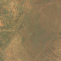
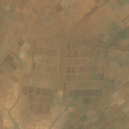
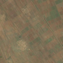
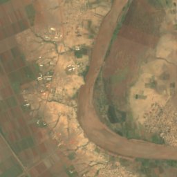
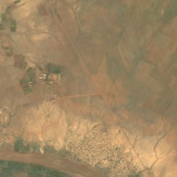
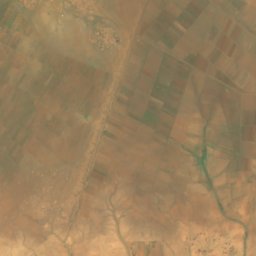
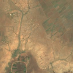
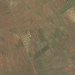
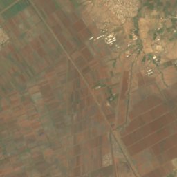
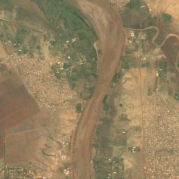
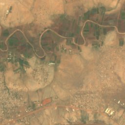
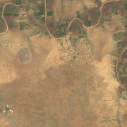
Satelita: Sentinel-2 cloudless 2016 – EOX IT Services GmbH · CC BY 4.0 · Zawiera zmodyfikowane dane Copernicus Sentinel (2016)
نهر الرهد
Wad Madani, Al Jazirah
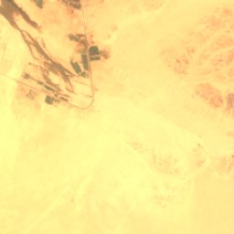
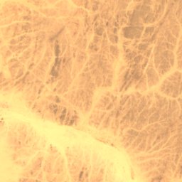
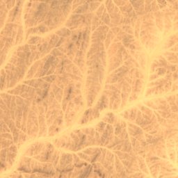
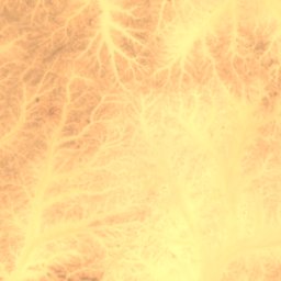
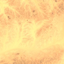
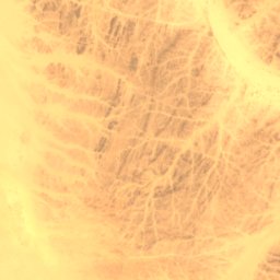
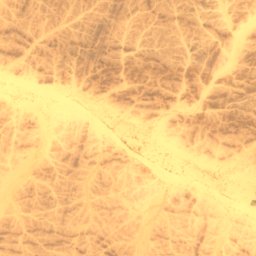
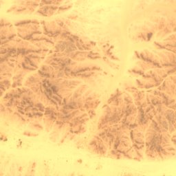
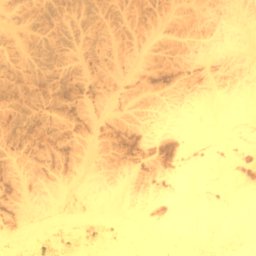
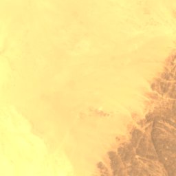
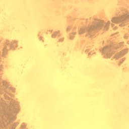
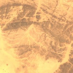
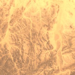
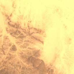
Satelita: Sentinel-2 cloudless 2016 – EOX IT Services GmbH · CC BY 4.0 · Zawiera zmodyfikowane dane Copernicus Sentinel (2016)
وادي أبو دوم
Merowe, Northern State
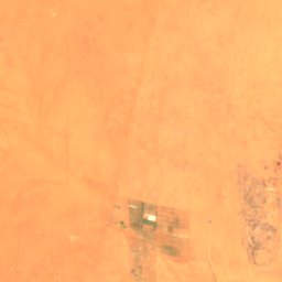
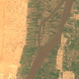
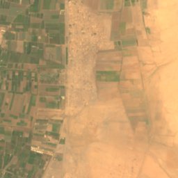
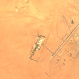
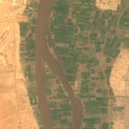
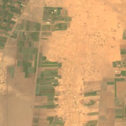


Satelita: Sentinel-2 cloudless 2016 – EOX IT Services GmbH · CC BY 4.0 · Zawiera zmodyfikowane dane Copernicus Sentinel (2016)
وادي سيدنا
Khartoum North, Khartoum