自然
スーダンの水辺、氷河、原野
湖、滝、氷河、国立公園、山小屋。それぞれの場所、規模、周辺の天気を掲載。
湖4か所(個別ページあり)
島24か所(個別ページあり)
川7か所(個別ページあり)

湖
スーダンの湖
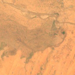
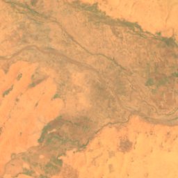
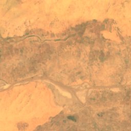
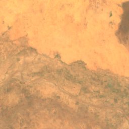
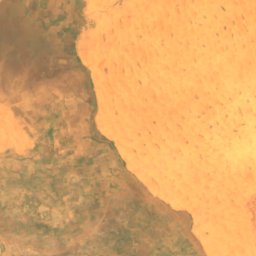
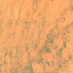
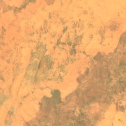
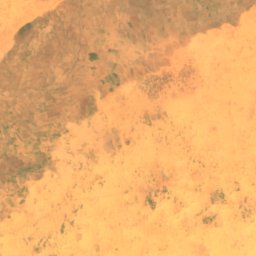
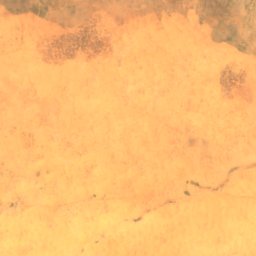
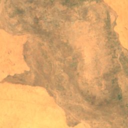
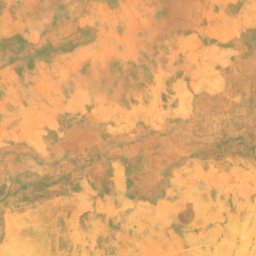
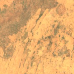
衛星: Sentinel-2 cloudless 2016(EOX IT Services GmbH) · CC BY 4.0 · 改変したCopernicus Sentinelデータ(2016年)を含みます
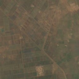
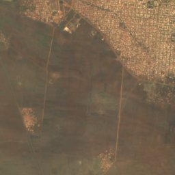
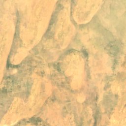
Golo reservoir
El Fasher, Northern Darfur
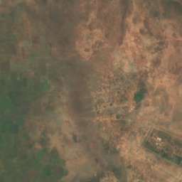
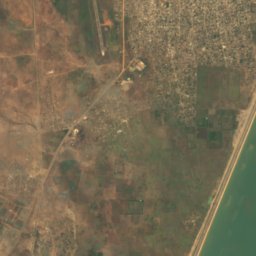
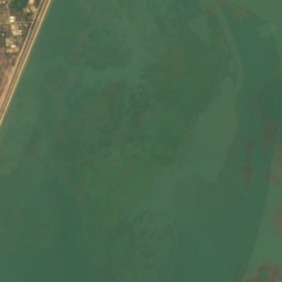
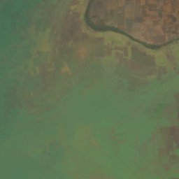
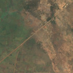
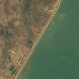
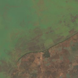
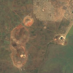
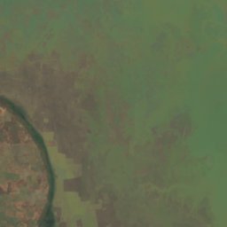
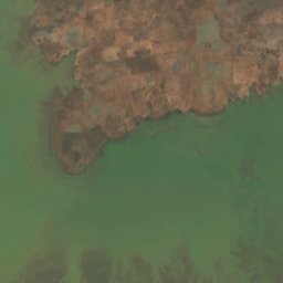
衛星: Sentinel-2 cloudless 2016(EOX IT Services GmbH) · CC BY 4.0 · 改変したCopernicus Sentinelデータ(2016年)を含みます
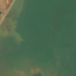
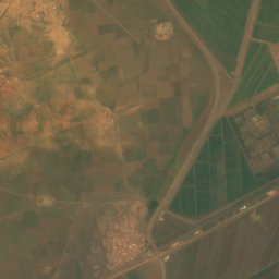
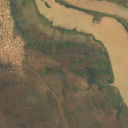
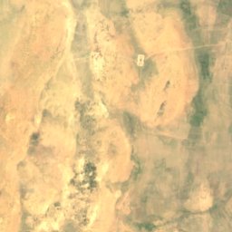
Roseires Reservoir
Ad-Damazin, Blue Nile
290 km²

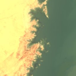
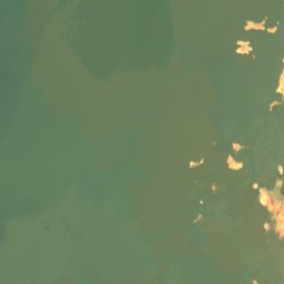
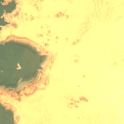
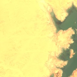
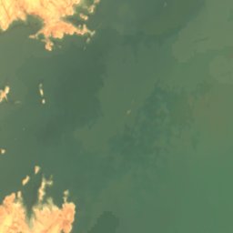
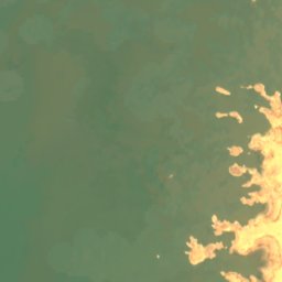
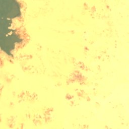
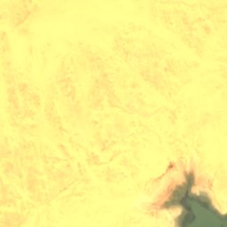
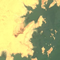
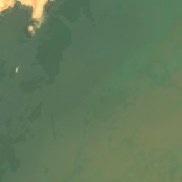
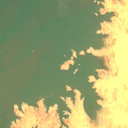
衛星: Sentinel-2 cloudless 2016(EOX IT Services GmbH) · CC BY 4.0 · 改変したCopernicus Sentinelデータ(2016年)を含みます
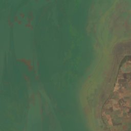
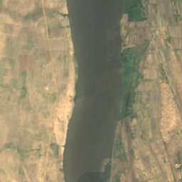
Lake Nubia
Wadi Halfa, Northern State
183 m
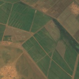
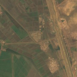
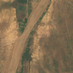
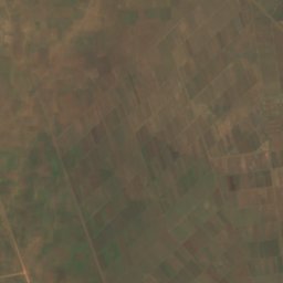
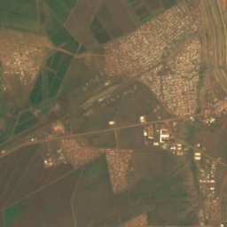
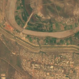
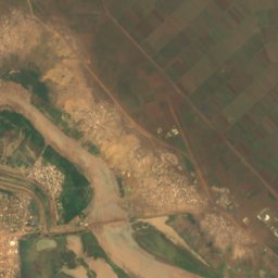
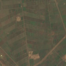
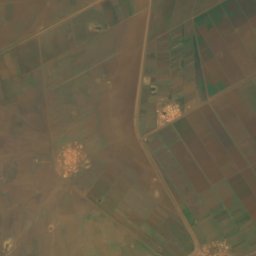
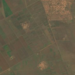
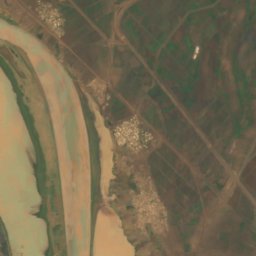
衛星: Sentinel-2 cloudless 2016(EOX IT Services GmbH) · CC BY 4.0 · 改変したCopernicus Sentinelデータ(2016年)を含みます
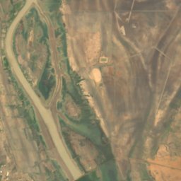
Sennar Reservoir
Sennar, Sennar
島
スーダンの島


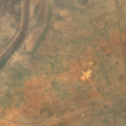
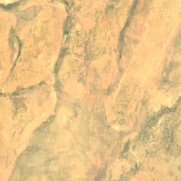
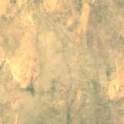
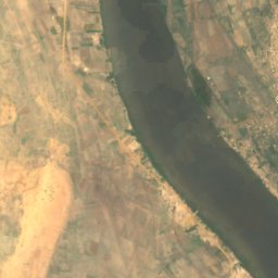
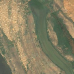
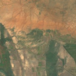
衛星: Sentinel-2 cloudless 2016(EOX IT Services GmbH) · CC BY 4.0 · 改変したCopernicus Sentinelデータ(2016年)を含みます
アーバー島
Kosti, White Nile
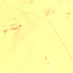
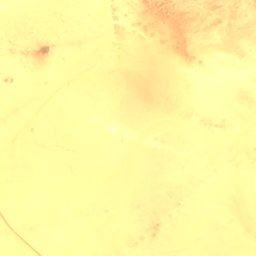
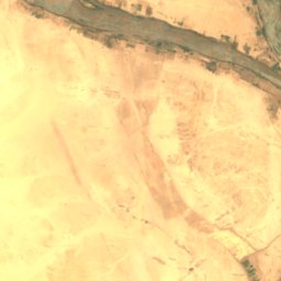
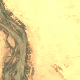

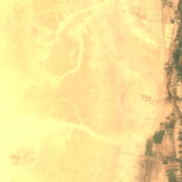
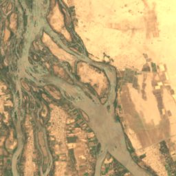
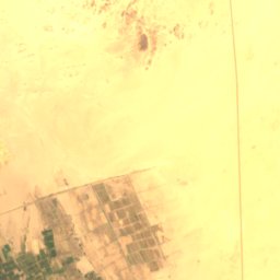
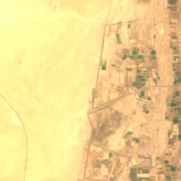
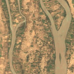
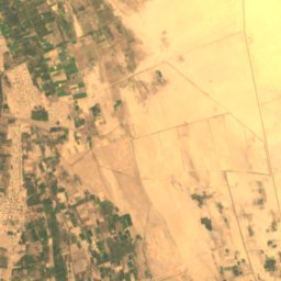
衛星: Sentinel-2 cloudless 2016(EOX IT Services GmbH) · CC BY 4.0 · 改変したCopernicus Sentinelデータ(2016年)を含みます
Tombos
ケルマー, Northern State
衛星: Sentinel-2 cloudless 2016(EOX IT Services GmbH) · CC BY 4.0 · 改変したCopernicus Sentinelデータ(2016年)を含みます
Badien Island
ケルマー, Northern State
222 m
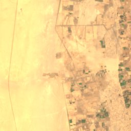
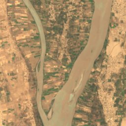
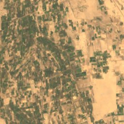
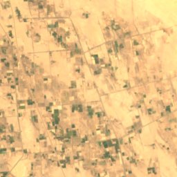
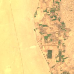
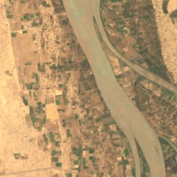
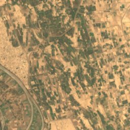
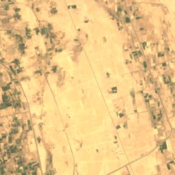
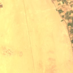
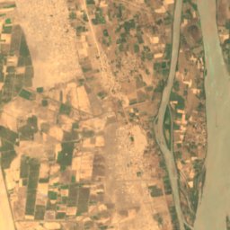
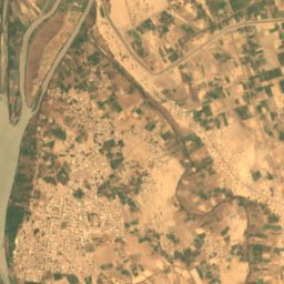
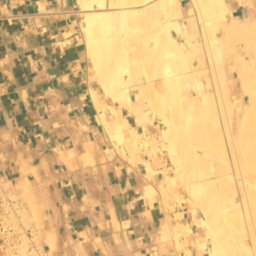
衛星: Sentinel-2 cloudless 2016(EOX IT Services GmbH) · CC BY 4.0 · 改変したCopernicus Sentinelデータ(2016年)を含みます
Artigashi Island
Argo, Northern State
227 m

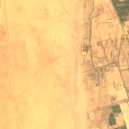
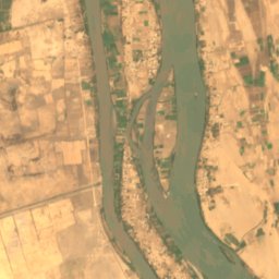
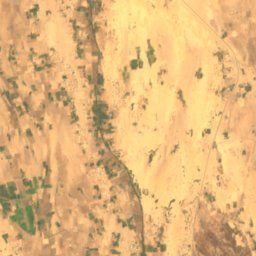

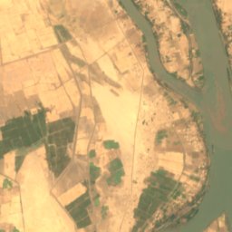
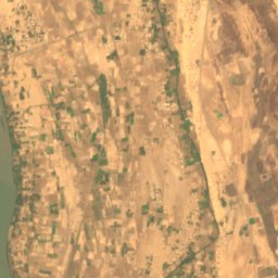
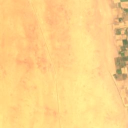
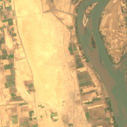
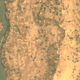
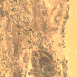
衛星: Sentinel-2 cloudless 2016(EOX IT Services GmbH) · CC BY 4.0 · 改変したCopernicus Sentinelデータ(2016年)を含みます
Irs Island
Dongola, Northern State
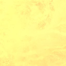
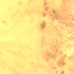
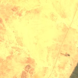
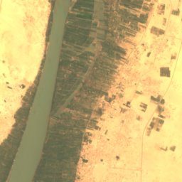
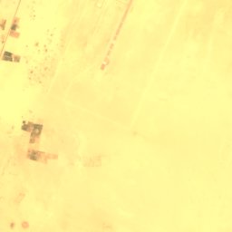
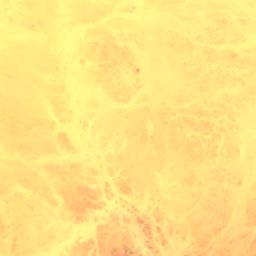
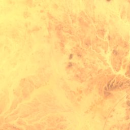
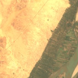
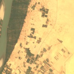
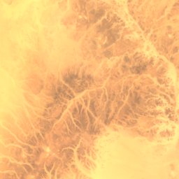
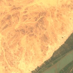
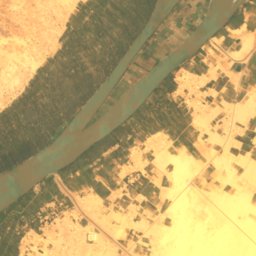
衛星: Sentinel-2 cloudless 2016(EOX IT Services GmbH) · CC BY 4.0 · 改変したCopernicus Sentinelデータ(2016年)を含みます
Abu Rannat Island
Merowe, Northern State
251 m
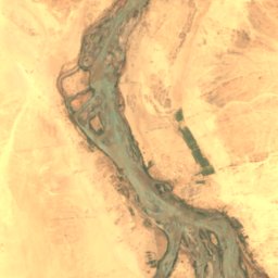
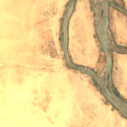
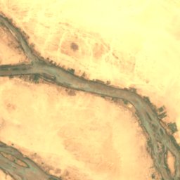
衛星: Sentinel-2 cloudless 2016(EOX IT Services GmbH) · CC BY 4.0 · 改変したCopernicus Sentinelデータ(2016年)を含みます
Akur Island
ケルマー, Northern State
212 m
川
スーダンの川


写真: Earth Science and Remote Sensing Unit, Lyndon B. Johnson Space Center · Public domain · Wikimedia Commonsこの写真を報告 · リンクのみ、保存なし
Wadi Howar
Al Dabbah, Northern State
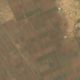
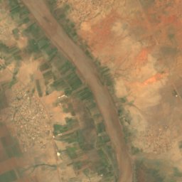
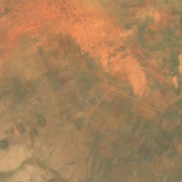
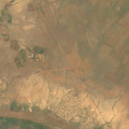
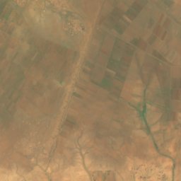
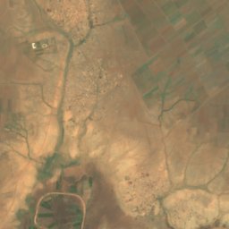
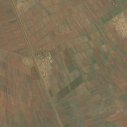
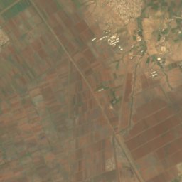
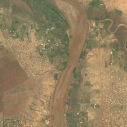
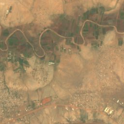
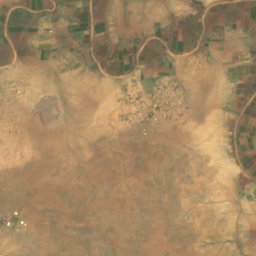
衛星: Sentinel-2 cloudless 2016(EOX IT Services GmbH) · CC BY 4.0 · 改変したCopernicus Sentinelデータ(2016年)を含みます
ラハド川
Wad Madani, Al Jazirah
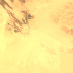
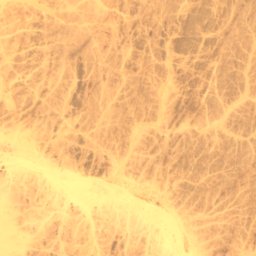
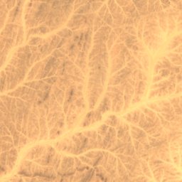
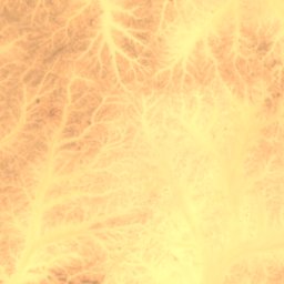
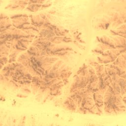
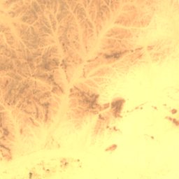
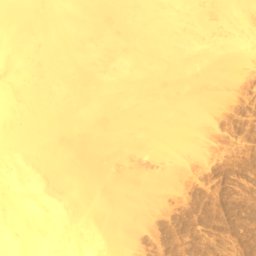
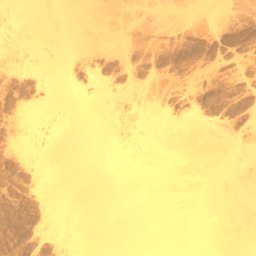
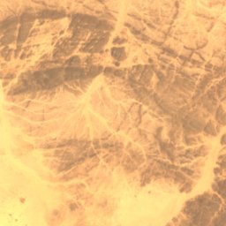
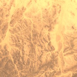
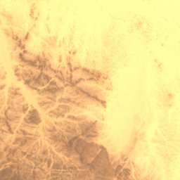
衛星: Sentinel-2 cloudless 2016(EOX IT Services GmbH) · CC BY 4.0 · 改変したCopernicus Sentinelデータ(2016年)を含みます
Wadi Abu Dom
Merowe, Northern State
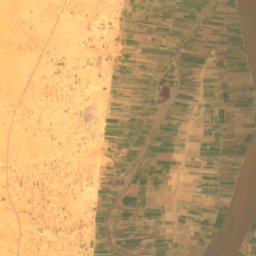
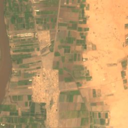
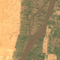
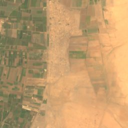
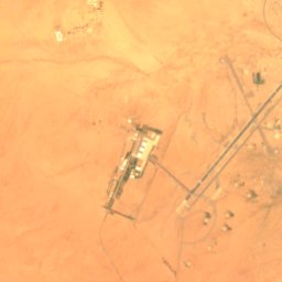
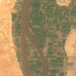
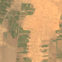


衛星: Sentinel-2 cloudless 2016(EOX IT Services GmbH) · CC BY 4.0 · 改変したCopernicus Sentinelデータ(2016年)を含みます
Wadi Seidna
Khartoum North, Khartoum