자연
레소토의 물가, 빙하, 야생
호수, 폭포, 빙하, 국립공원, 산장. 각각의 위치, 규모, 주변 날씨를 소개합니다.
호수1곳(개별 페이지 있음)
폭포5곳(개별 페이지 있음)
국립공원2곳(개별 페이지 있음)
동굴2곳(개별 페이지 있음)

호수
레소토의 호수

폭포
레소토의 폭포

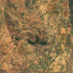
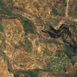
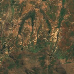
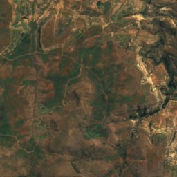
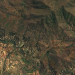
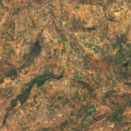
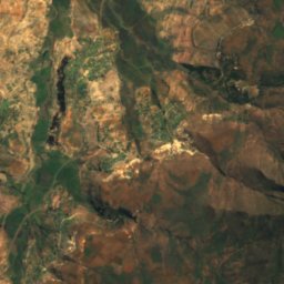
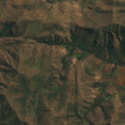
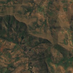
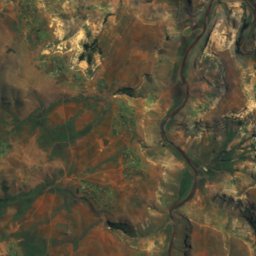
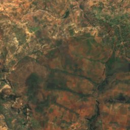
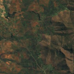
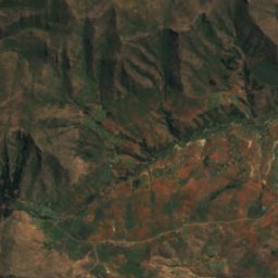
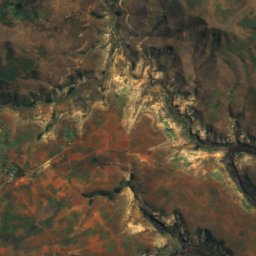
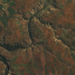
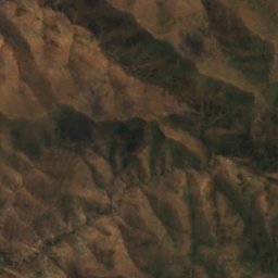
위성: Sentinel-2 cloudless 2016(EOX IT Services GmbH) · CC BY 4.0 · 수정된 Copernicus Sentinel 데이터(2016) 포함
Botsoela Falls
Morunyaneng, Mafeteng District
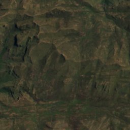
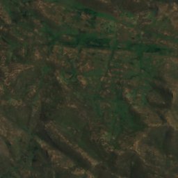
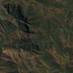
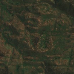
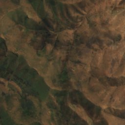
위성: Sentinel-2 cloudless 2016(EOX IT Services GmbH) · CC BY 4.0 · 수정된 Copernicus Sentinel 데이터(2016) 포함
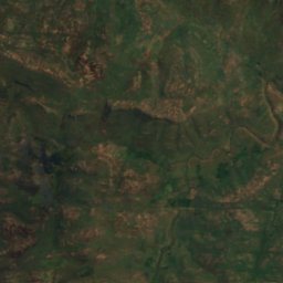
Ketane Falls
Semonkong, Maseru District
낙차 122 m
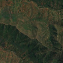
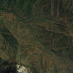
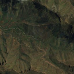
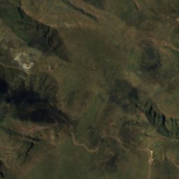
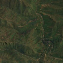
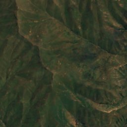
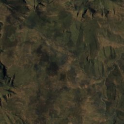
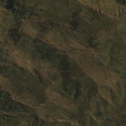
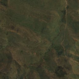
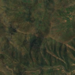
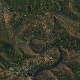
위성: Sentinel-2 cloudless 2016(EOX IT Services GmbH) · CC BY 4.0 · 수정된 Copernicus Sentinel 데이터(2016) 포함
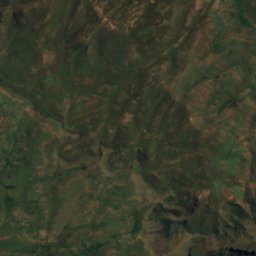
Lepaqoa Waterfall
Pitseng, Leribe
낙차 60 m
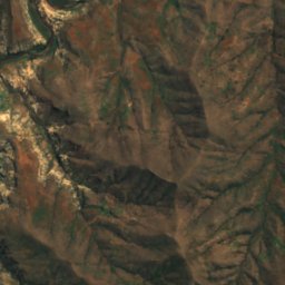
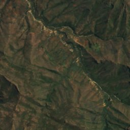
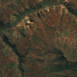
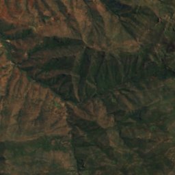
위성: Sentinel-2 cloudless 2016(EOX IT Services GmbH) · CC BY 4.0 · 수정된 Copernicus Sentinel 데이터(2016) 포함
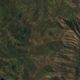
Ribaneng Falls
Ramabanta, Maseru District
낙차 100 m
국립공원
레소토의 국립공원


동굴
레소토의 동굴
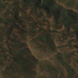
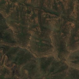
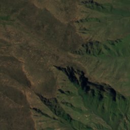
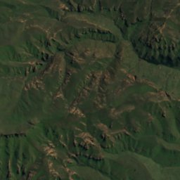
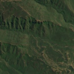
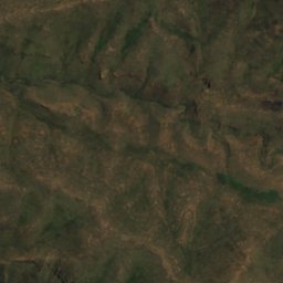
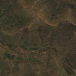
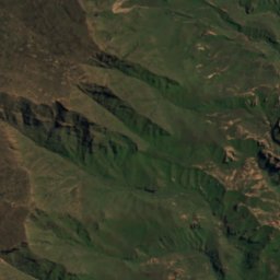
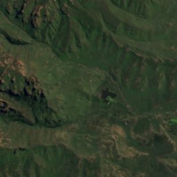
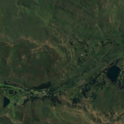
위성: Sentinel-2 cloudless 2016(EOX IT Services GmbH) · CC BY 4.0 · 수정된 Copernicus Sentinel 데이터(2016) 포함
Pillar Cave
Sehlabathebe, Qacha's Nek District
2,095 m
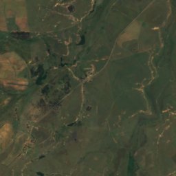
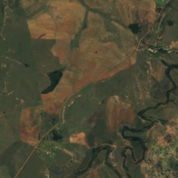
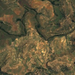
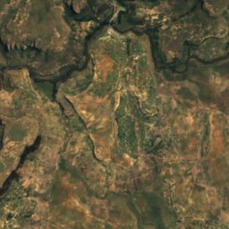
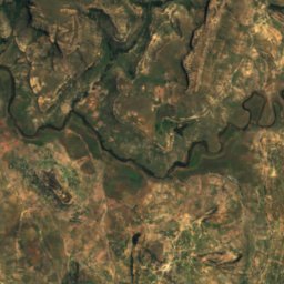
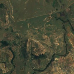
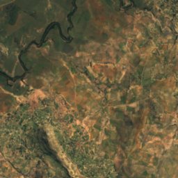
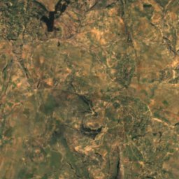
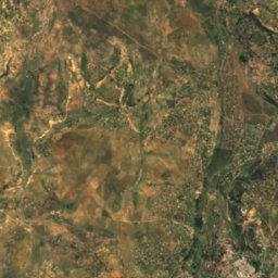
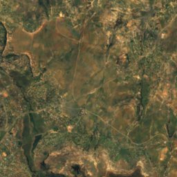
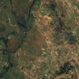
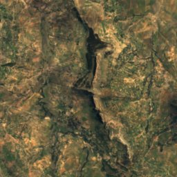
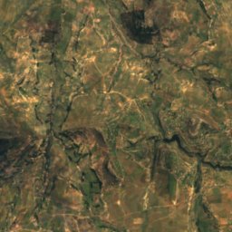
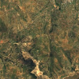
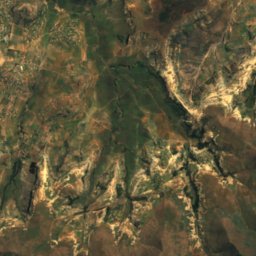
위성: Sentinel-2 cloudless 2016(EOX IT Services GmbH) · CC BY 4.0 · 수정된 Copernicus Sentinel 데이터(2016) 포함
Liphofung Cave
Butha-Buthe, Butha-Buthe
강
레소토의 강


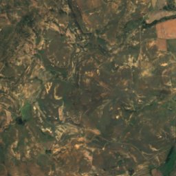
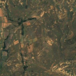
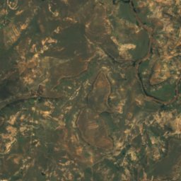
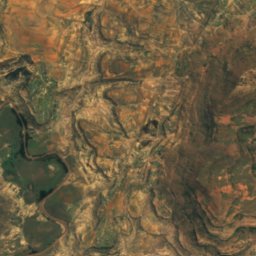
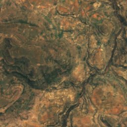
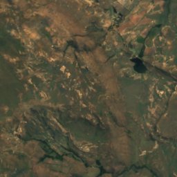
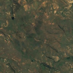
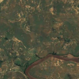
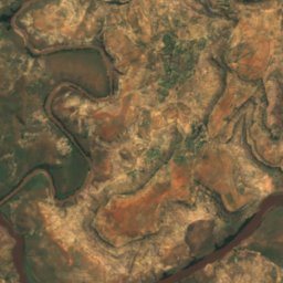
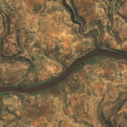
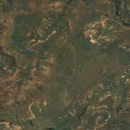
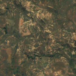
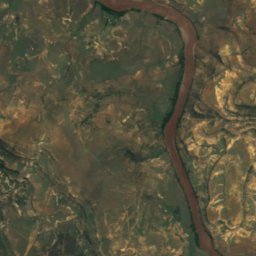
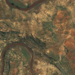
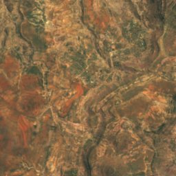
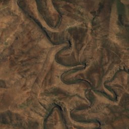
위성: Sentinel-2 cloudless 2016(EOX IT Services GmbH) · CC BY 4.0 · 수정된 Copernicus Sentinel 데이터(2016) 포함
Makhaleng River
Mohale's Hoek, Mohale's Hoek District
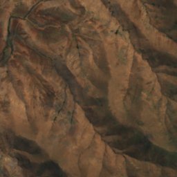
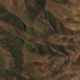
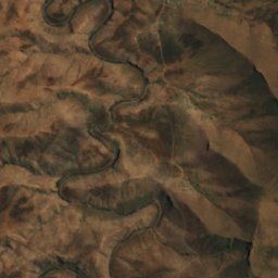
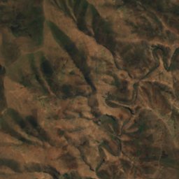
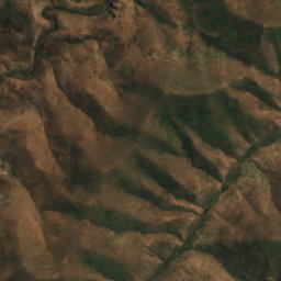
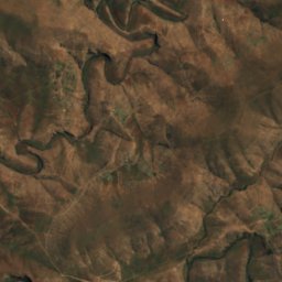
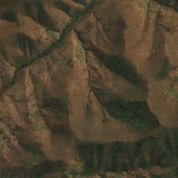
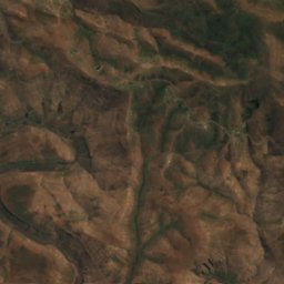
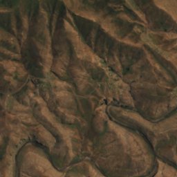
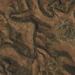
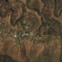
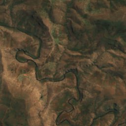


위성: Sentinel-2 cloudless 2016(EOX IT Services GmbH) · CC BY 4.0 · 수정된 Copernicus Sentinel 데이터(2016) 포함
Mokhotlong River
Mokhotlong, Mokhotlong District