自然
レソトの水辺、氷河、原野
湖、滝、氷河、国立公園、山小屋。それぞれの場所、規模、周辺の天気を掲載。
湖1か所(個別ページあり)
滝5か所(個別ページあり)
国立公園2か所(個別ページあり)
洞窟2か所(個別ページあり)

湖
レソトの湖

滝
レソトの滝

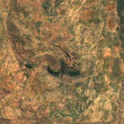
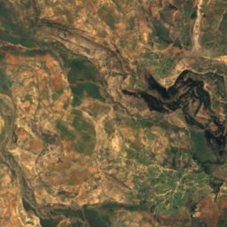
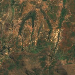
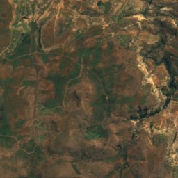
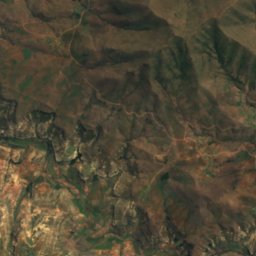
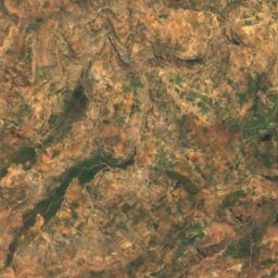
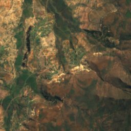
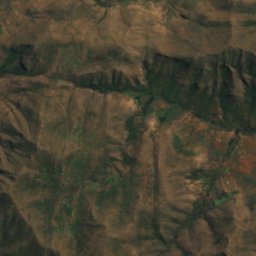
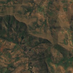
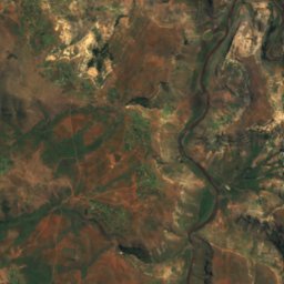
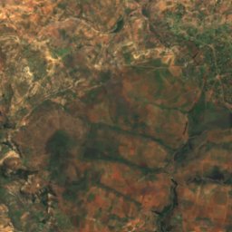
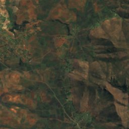
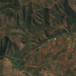
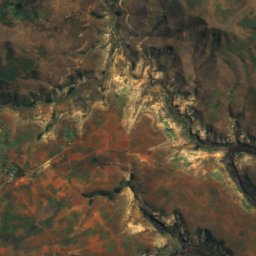
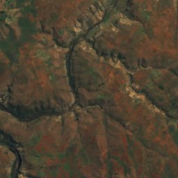
衛星: Sentinel-2 cloudless 2016(EOX IT Services GmbH) · CC BY 4.0 · 改変したCopernicus Sentinelデータ(2016年)を含みます
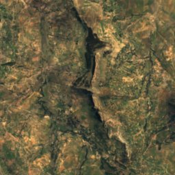
Botsoela Falls
Morunyaneng, Mafeteng District
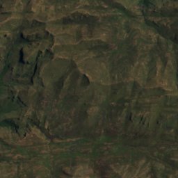
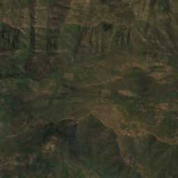
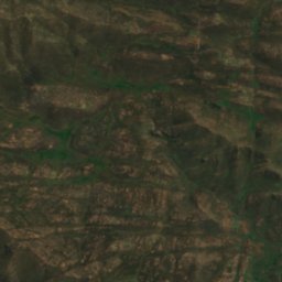
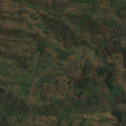
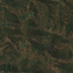
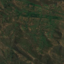
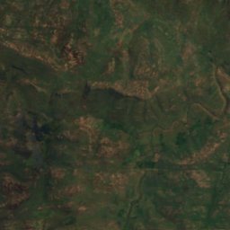
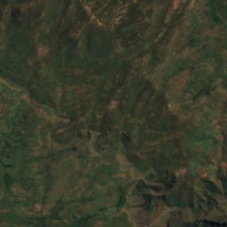
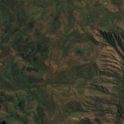
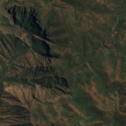
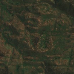
衛星: Sentinel-2 cloudless 2016(EOX IT Services GmbH) · CC BY 4.0 · 改変したCopernicus Sentinelデータ(2016年)を含みます
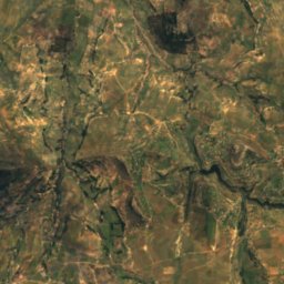
Ketane Falls
Semonkong, Maseru District
落差122 m
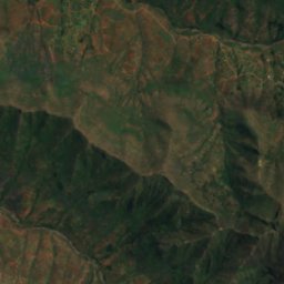
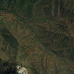
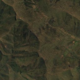
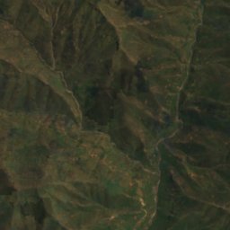
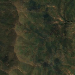
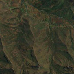
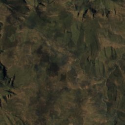
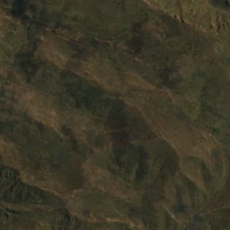
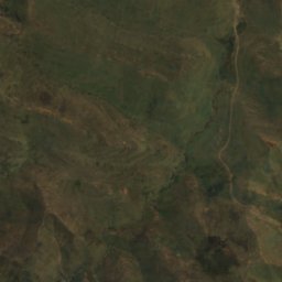
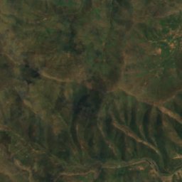
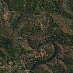
衛星: Sentinel-2 cloudless 2016(EOX IT Services GmbH) · CC BY 4.0 · 改変したCopernicus Sentinelデータ(2016年)を含みます
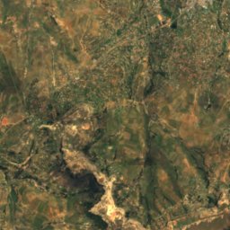
Lepaqoa Waterfall
Pitseng, Leribe
落差60 m
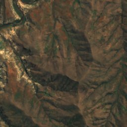
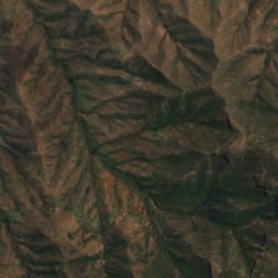
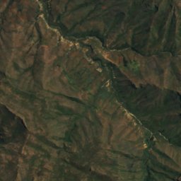
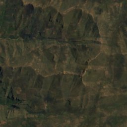
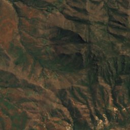
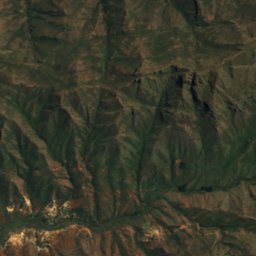
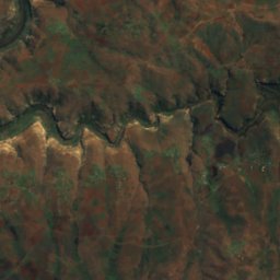
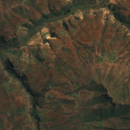
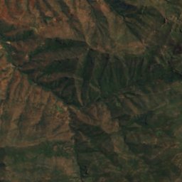
衛星: Sentinel-2 cloudless 2016(EOX IT Services GmbH) · CC BY 4.0 · 改変したCopernicus Sentinelデータ(2016年)を含みます
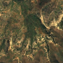
Ribaneng Falls
Ramabanta, Maseru District
落差100 m
国立公園
レソトの国立公園


洞窟
レソトの洞窟
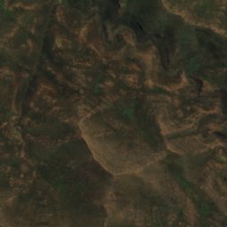
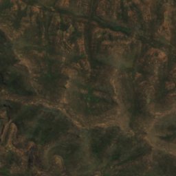
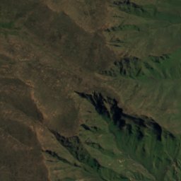
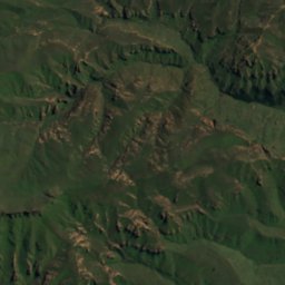
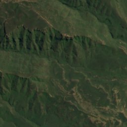
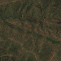
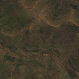
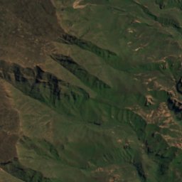
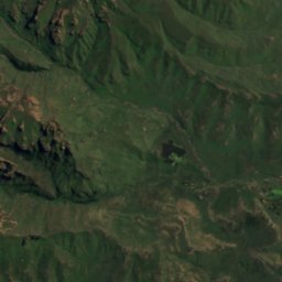
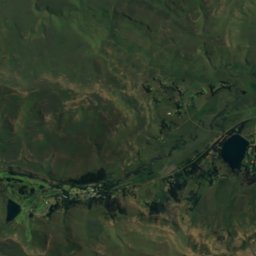
衛星: Sentinel-2 cloudless 2016(EOX IT Services GmbH) · CC BY 4.0 · 改変したCopernicus Sentinelデータ(2016年)を含みます
Pillar Cave
Sehlabathebe, Qacha's Nek District
2,095 m
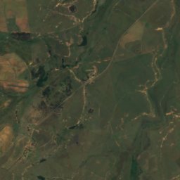
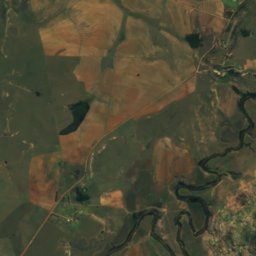
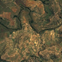
衛星: Sentinel-2 cloudless 2016(EOX IT Services GmbH) · CC BY 4.0 · 改変したCopernicus Sentinelデータ(2016年)を含みます
Liphofung Cave
Butha-Buthe, Butha-Buthe
川
レソトの川


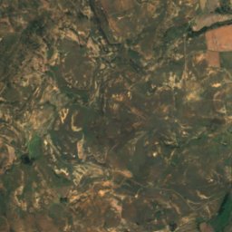
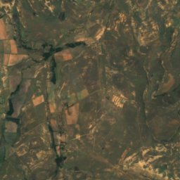
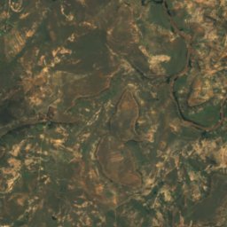
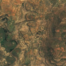
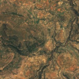
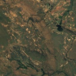
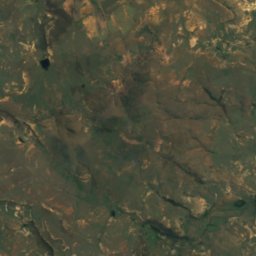
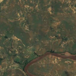
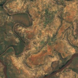
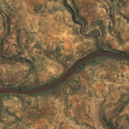
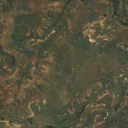
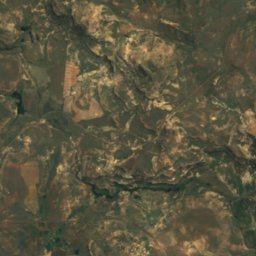
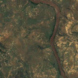
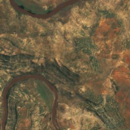
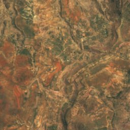
衛星: Sentinel-2 cloudless 2016(EOX IT Services GmbH) · CC BY 4.0 · 改変したCopernicus Sentinelデータ(2016年)を含みます
Makhaleng River
Mohale's Hoek, Mohale's Hoek District
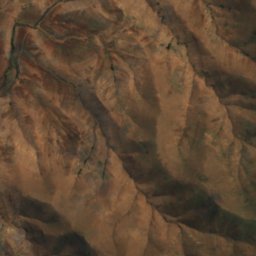
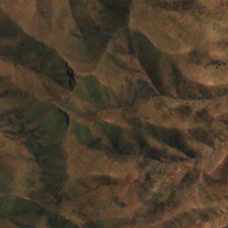
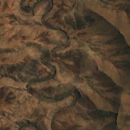
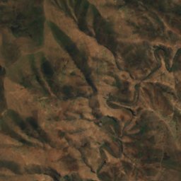
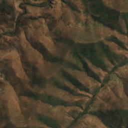
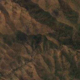
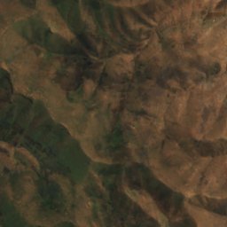
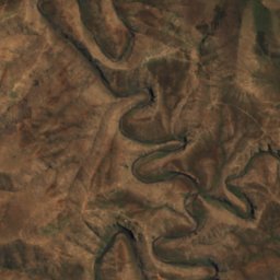
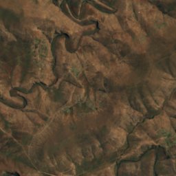
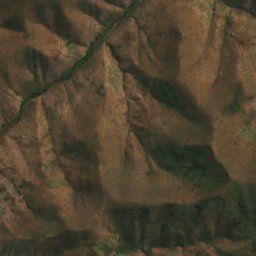
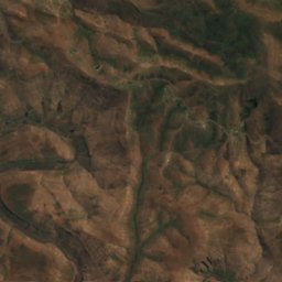
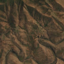
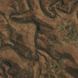
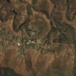
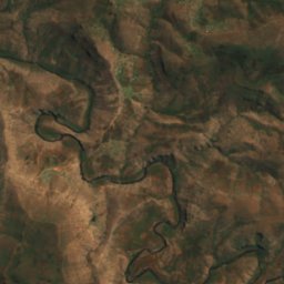


衛星: Sentinel-2 cloudless 2016(EOX IT Services GmbH) · CC BY 4.0 · 改変したCopernicus Sentinelデータ(2016年)を含みます
Mokhotlong River
Mokhotlong, Mokhotlong District