ธรรมชาติ
แหล่งน้ำ ธารน้ำแข็ง และธรรมชาติอันกว้างใหญ่ของเลโซโท
ทะเลสาบ น้ำตก ธารน้ำแข็ง อุทยานแห่งชาติ และที่พักบนภูเขา แต่ละแห่งพร้อมที่ตั้ง ขนาด และสภาพอากาศโดยรอบ
ทะเลสาบ1แต่ละแห่งมีหน้าของตัวเอง
น้ำตก5แต่ละแห่งมีหน้าของตัวเอง
อุทยานแห่งชาติ2แต่ละแห่งมีหน้าของตัวเอง
ถ้ำ2แต่ละแห่งมีหน้าของตัวเอง

ภาพ: Graham Maclachlan · CC BY-SA 3.0 · Wikimedia Commonsแจ้งเกี่ยวกับภาพนี้ · ลิงก์ไปยังต้นทาง ไม่จัดเก็บ
ทะเลสาบ
ทะเลสาบในเลโซโท

ภาพ: Graham Maclachlan · CC BY-SA 3.0 · Wikimedia Commonsแจ้งเกี่ยวกับภาพนี้ · ลิงก์ไปยังต้นทาง ไม่จัดเก็บ
Lake Letsie
Mphaki, Quthing
น้ำตก
น้ำตกในเลโซโท

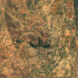
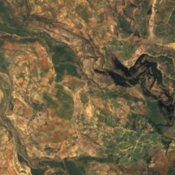
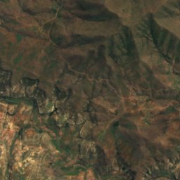
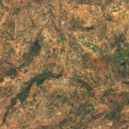
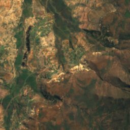
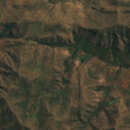
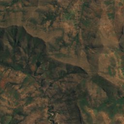
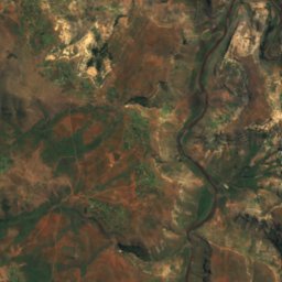
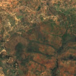
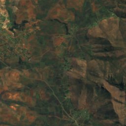
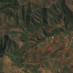
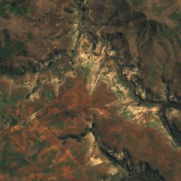
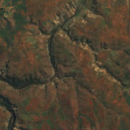
ดาวเทียม: Sentinel-2 cloudless 2016 โดย EOX IT Services GmbH · CC BY 4.0 · มีข้อมูล Copernicus Sentinel (2016) ที่ดัดแปลงแล้ว
Botsoela Falls
Morunyaneng, Mafeteng District
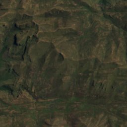
ดาวเทียม: Sentinel-2 cloudless 2016 โดย EOX IT Services GmbH · CC BY 4.0 · มีข้อมูล Copernicus Sentinel (2016) ที่ดัดแปลงแล้ว
Ketane Falls
Semonkong, Maseru District
ความสูง 122 m
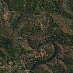
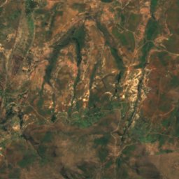
ดาวเทียม: Sentinel-2 cloudless 2016 โดย EOX IT Services GmbH · CC BY 4.0 · มีข้อมูล Copernicus Sentinel (2016) ที่ดัดแปลงแล้ว
Lepaqoa Waterfall
Pitseng, Leribe
ความสูง 60 m
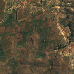
ดาวเทียม: Sentinel-2 cloudless 2016 โดย EOX IT Services GmbH · CC BY 4.0 · มีข้อมูล Copernicus Sentinel (2016) ที่ดัดแปลงแล้ว
Ribaneng Falls
Ramabanta, Maseru District
ความสูง 100 m
อุทยานแห่งชาติ
อุทยานแห่งชาติในเลโซโท

ภาพ: Graham Maclachlan · CC BY-SA 3.0 · Wikimedia Commonsแจ้งเกี่ยวกับภาพนี้ · ลิงก์ไปยังต้นทาง ไม่จัดเก็บ
Sehlabathebe National Park
Sehlabathebe, Qacha's Nek District
466 km²

ภาพ: Maliba Lodge · CC BY-SA 3.0 · Wikimedia Commonsแจ้งเกี่ยวกับภาพนี้ · ลิงก์ไปยังต้นทาง ไม่จัดเก็บ
Ts'ehlanyane National Park
Pitseng, Leribe
ถ้ำ
ถ้ำในเลโซโท
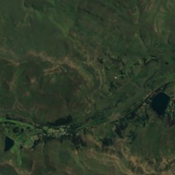
ดาวเทียม: Sentinel-2 cloudless 2016 โดย EOX IT Services GmbH · CC BY 4.0 · มีข้อมูล Copernicus Sentinel (2016) ที่ดัดแปลงแล้ว
Pillar Cave
Sehlabathebe, Qacha's Nek District
2,095 m
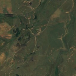
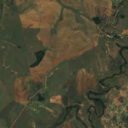
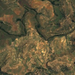
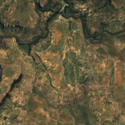
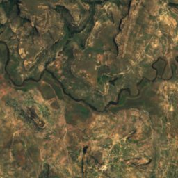
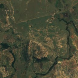
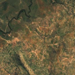
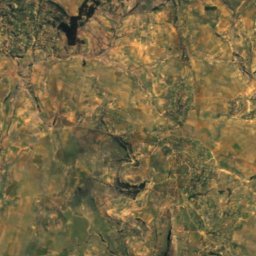
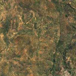
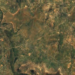
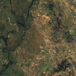
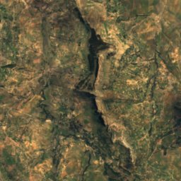
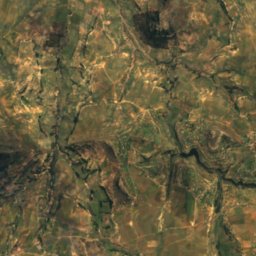
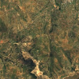
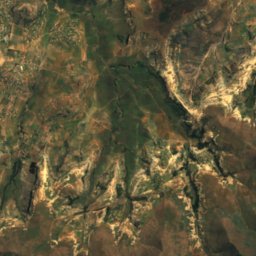
ดาวเทียม: Sentinel-2 cloudless 2016 โดย EOX IT Services GmbH · CC BY 4.0 · มีข้อมูล Copernicus Sentinel (2016) ที่ดัดแปลงแล้ว
Liphofung Cave
Butha-Buthe, Butha-Buthe
แม่น้ำ
แม่น้ำในเลโซโท


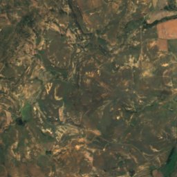
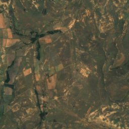
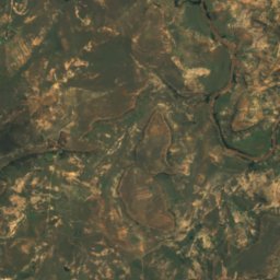
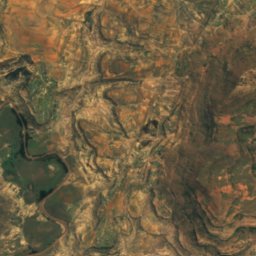
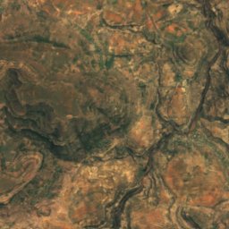
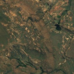
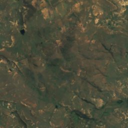
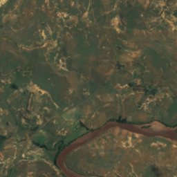
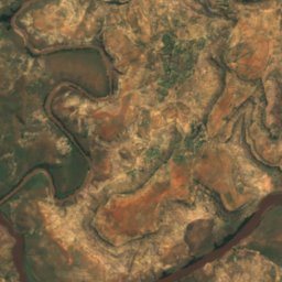
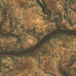
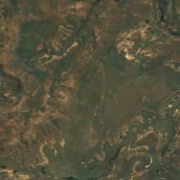
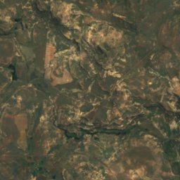
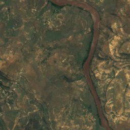
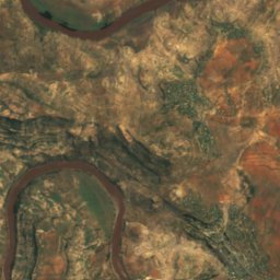
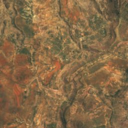
ดาวเทียม: Sentinel-2 cloudless 2016 โดย EOX IT Services GmbH · CC BY 4.0 · มีข้อมูล Copernicus Sentinel (2016) ที่ดัดแปลงแล้ว
Makhaleng River
Mohale's Hoek, Mohale's Hoek District
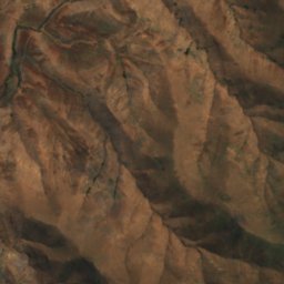
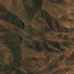
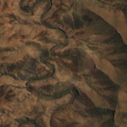
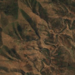
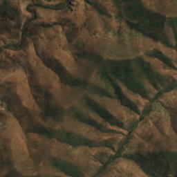
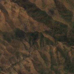
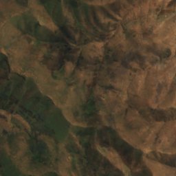
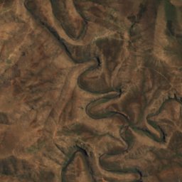
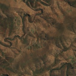
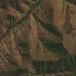
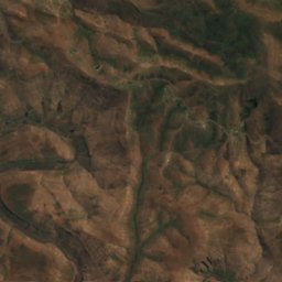
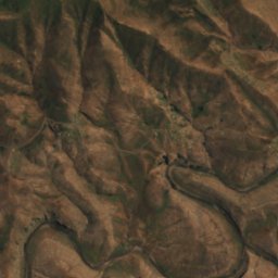
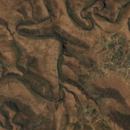
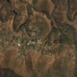
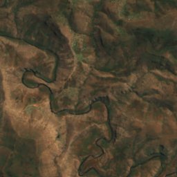


ดาวเทียม: Sentinel-2 cloudless 2016 โดย EOX IT Services GmbH · CC BY 4.0 · มีข้อมูล Copernicus Sentinel (2016) ที่ดัดแปลงแล้ว
Mokhotlong River
Mokhotlong, Mokhotlong District