자연
캄보디아의 물가, 빙하, 야생
호수, 폭포, 빙하, 국립공원, 산장. 각각의 위치, 규모, 주변 날씨를 소개합니다.
호수52곳(개별 페이지 있음)
폭포3곳(개별 페이지 있음)
국립공원3곳(개별 페이지 있음)
해변6곳(개별 페이지 있음)

호수
캄보디아의 호수


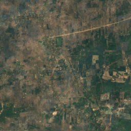
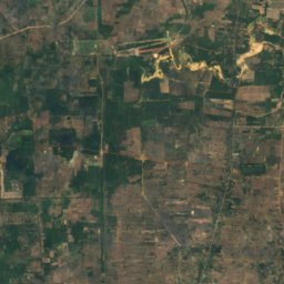
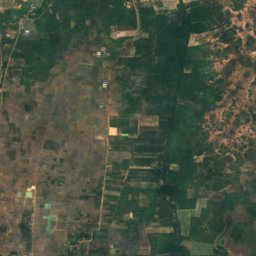
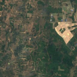
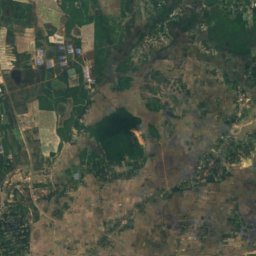
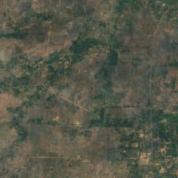
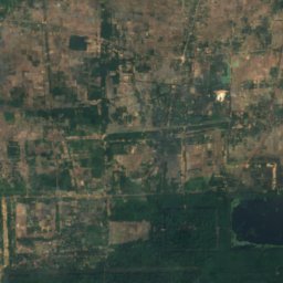
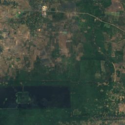
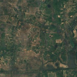
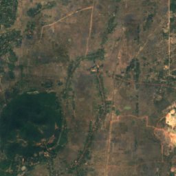
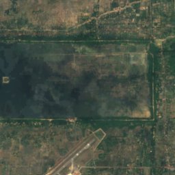
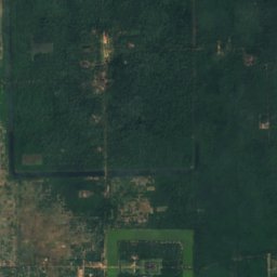
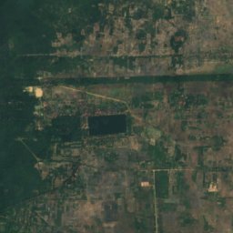
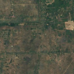
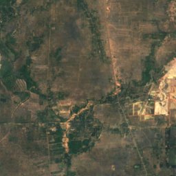
위성: Sentinel-2 cloudless 2016(EOX IT Services GmbH) · CC BY 4.0 · 수정된 Copernicus Sentinel 데이터(2016) 포함
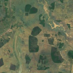
East Baray
Siem Reap, Siem Reap
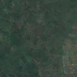
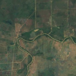
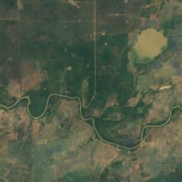
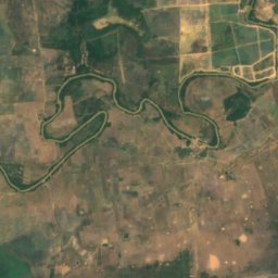
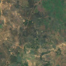
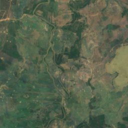
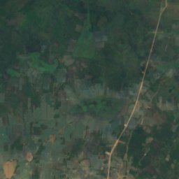
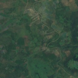
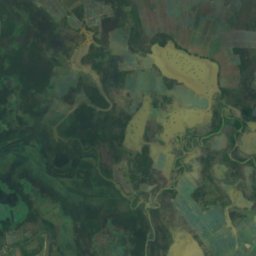
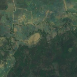
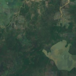
위성: Sentinel-2 cloudless 2016(EOX IT Services GmbH) · CC BY 4.0 · 수정된 Copernicus Sentinel 데이터(2016) 포함
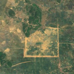
Boeng Anga
Kampong Thom, Kampong Thom
7 m
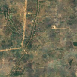
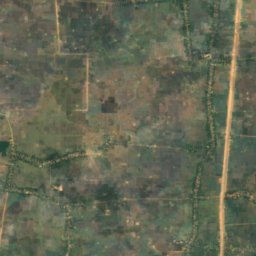
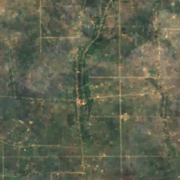
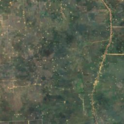
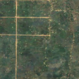
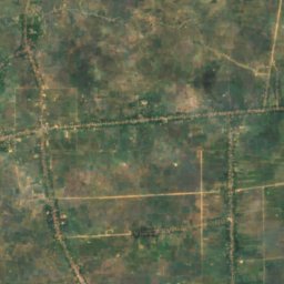
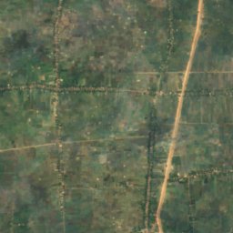
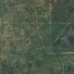
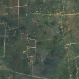
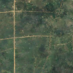
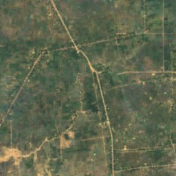
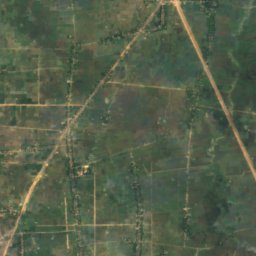
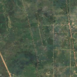
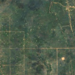
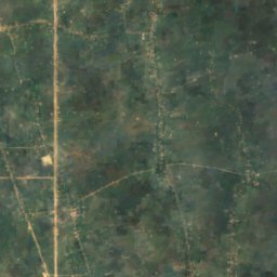
위성: Sentinel-2 cloudless 2016(EOX IT Services GmbH) · CC BY 4.0 · 수정된 Copernicus Sentinel 데이터(2016) 포함
Boeng Khei
Prey Veng, Prey Veng
8 m
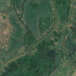
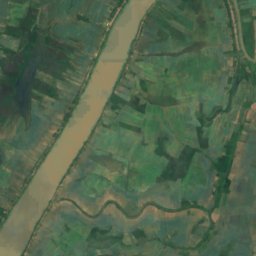
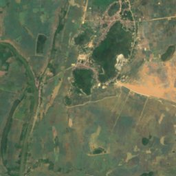
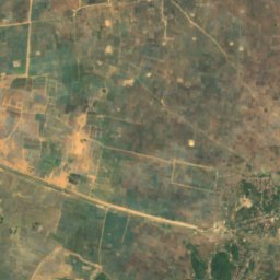
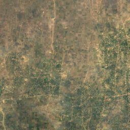
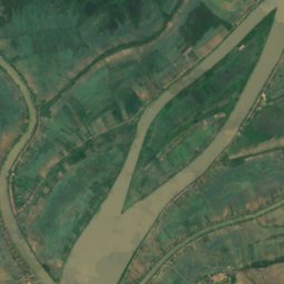
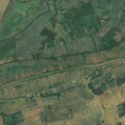
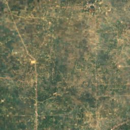
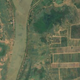
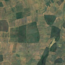
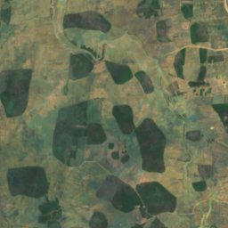
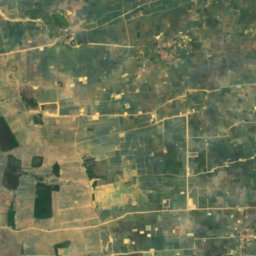
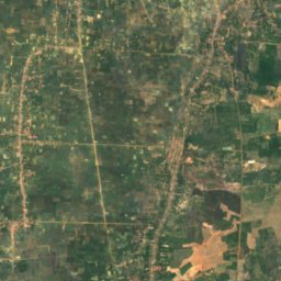
위성: Sentinel-2 cloudless 2016(EOX IT Services GmbH) · CC BY 4.0 · 수정된 Copernicus Sentinel 데이터(2016) 포함
Beng Anlongdoeum Thom
Phumĭ Ândong Snay, Kampong Chhnang
3 m
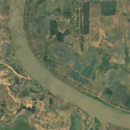
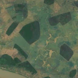
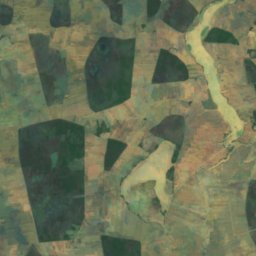
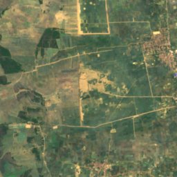
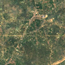
위성: Sentinel-2 cloudless 2016(EOX IT Services GmbH) · CC BY 4.0 · 수정된 Copernicus Sentinel 데이터(2016) 포함
Beng Chi Chra
Longvek, Kampong Chhnang
3 m
전체 목록: 호수 52곳
- Beng Anlongdoeum Thom
- Beng Chi Chra
- Beng Kek
- Beng Kes
- Beng Khlang
- Beng Khna
- Beng Khney Soy
- Beng Kok, Phnom Penh
- Beng Kok, Siem Reap
- Beng Molong
- Beng Phlous
- Beng Phsa
- Beng Pra
- Beng Pra Bet
- Beng Pralil
- Beng Prang Thom
- Beng Prang, Kampong Chhnang
- Beng Prang, Prey Veng
- Beng Pruos
- Beng Reachisey
- Beng Riel, Kampong Thom
- Beng Riel, Kampong Thom
- Beng Rompe
- Beng Sampoch
- Beng Sangker
- Beng Spung
- Beng Srap Ang Kam
- Beng Stung Rat
- Beng Thtea
- Beng Tok
- Beng Totung Thngnay
- Beng Tung
- Beng Tuol Anteas
- Beng Veal Samnap
- Beng Veam
- Boehg O Tom
- Boeng Anga
- Bœ̆ng Ânsaông
- Boeng Kak
- Boeng Kanlaeng Chhdaor
- Boeng Khei
- Bœ̆ng Krâchăb
- Bœ̆ng Péch Séna
- Bœ̆ng Prâlay
- Bœ̆ng Ta É
- Bœ̆ng Véal Lêng
- Boeung Kak
- East Baray
- Prek Beng Chhmos
- Srah Srang
- Tonle Bati
- West Baray
폭포
캄보디아의 폭포


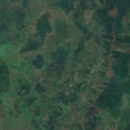
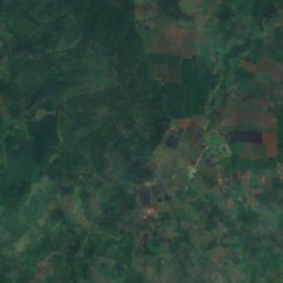
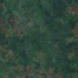
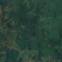
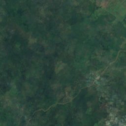
위성: Sentinel-2 cloudless 2016(EOX IT Services GmbH) · CC BY 4.0 · 수정된 Copernicus Sentinel 데이터(2016) 포함
Bou Sra Waterfall
Senmonorom, Mondolkiri
국립공원
캄보디아의 국립공원


해변
캄보디아의 해변


섬
캄보디아의 섬




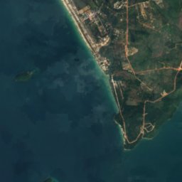
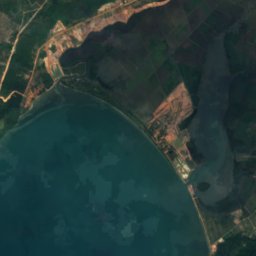
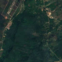


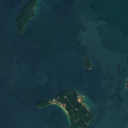
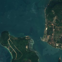
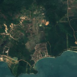



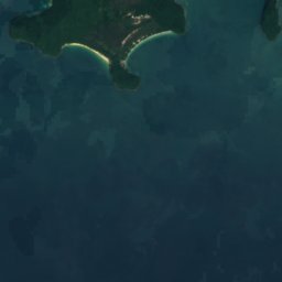

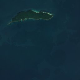
위성: Sentinel-2 cloudless 2016(EOX IT Services GmbH) · CC BY 4.0 · 수정된 Copernicus Sentinel 데이터(2016) 포함
Koh Ta Kiev
Sihanoukville, Preah Sihanouk
1 m
위성: Sentinel-2 cloudless 2016(EOX IT Services GmbH) · CC BY 4.0 · 수정된 Copernicus Sentinel 데이터(2016) 포함
Koh Russei
Sihanoukville, Preah Sihanouk



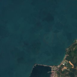
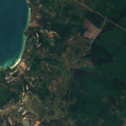


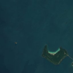
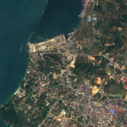
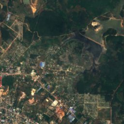


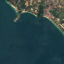
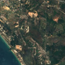
위성: Sentinel-2 cloudless 2016(EOX IT Services GmbH) · CC BY 4.0 · 수정된 Copernicus Sentinel 데이터(2016) 포함
Koh Puos
Sihanoukville, Preah Sihanouk
3 m


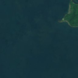
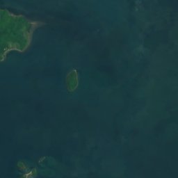



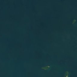
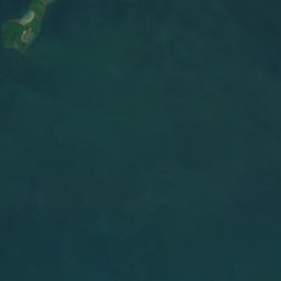



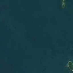
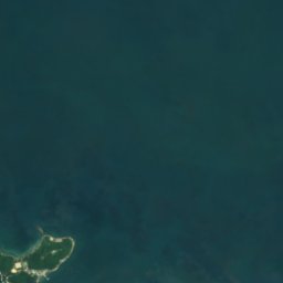

위성: Sentinel-2 cloudless 2016(EOX IT Services GmbH) · CC BY 4.0 · 수정된 Copernicus Sentinel 데이터(2016) 포함
Koh Ach Seh
Kep, Kep




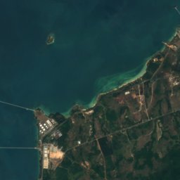
위성: Sentinel-2 cloudless 2016(EOX IT Services GmbH) · CC BY 4.0 · 수정된 Copernicus Sentinel 데이터(2016) 포함
Koh Preab
Sihanoukville, Preah Sihanouk
3 m
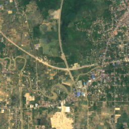
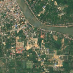
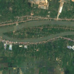
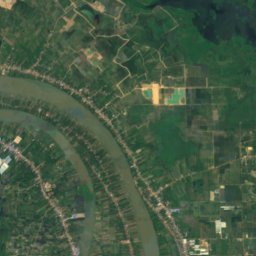
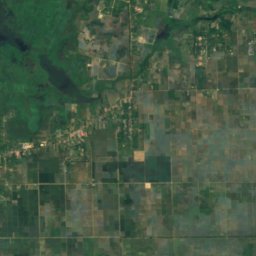
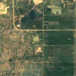
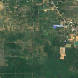
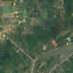
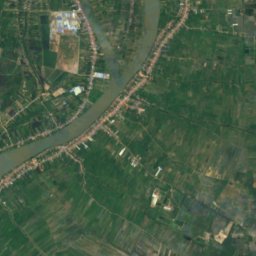
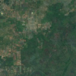
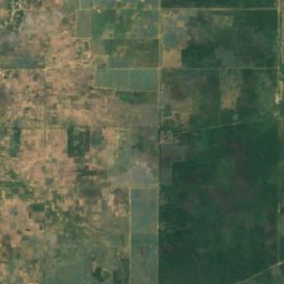
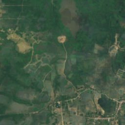
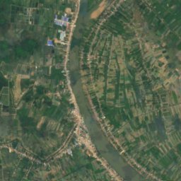
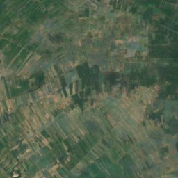
위성: Sentinel-2 cloudless 2016(EOX IT Services GmbH) · CC BY 4.0 · 수정된 Copernicus Sentinel 데이터(2016) 포함
Koh Romdual
Ta Khmau, Kandal
동굴
캄보디아의 동굴


강
캄보디아의 강


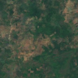
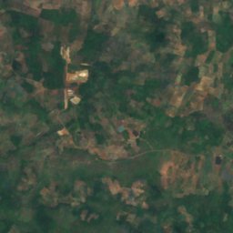
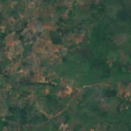
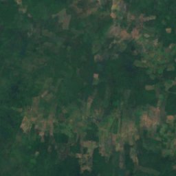
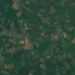
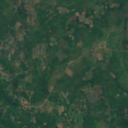
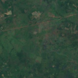
위성: Sentinel-2 cloudless 2016(EOX IT Services GmbH) · CC BY 4.0 · 수정된 Copernicus Sentinel 데이터(2016) 포함
Chinit River
Stung Treng, Stung Treng

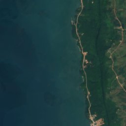
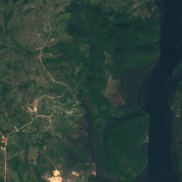
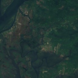
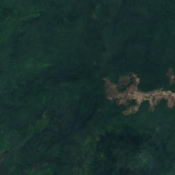

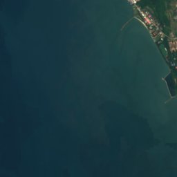
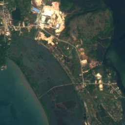
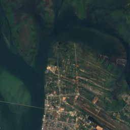
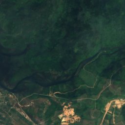


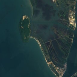
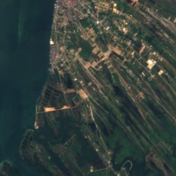
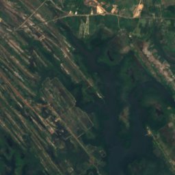
위성: Sentinel-2 cloudless 2016(EOX IT Services GmbH) · CC BY 4.0 · 수정된 Copernicus Sentinel 데이터(2016) 포함
Kah Bpow River
Koh Kong, Koh Kong
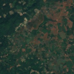
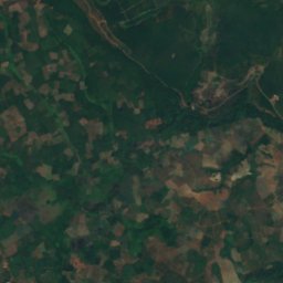
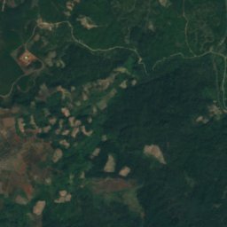
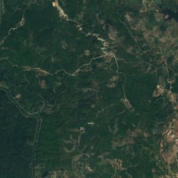
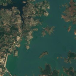
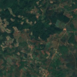
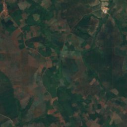
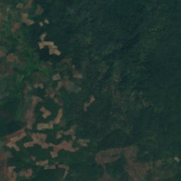
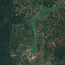
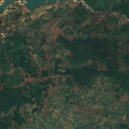
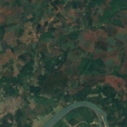
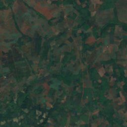
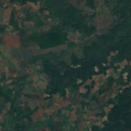
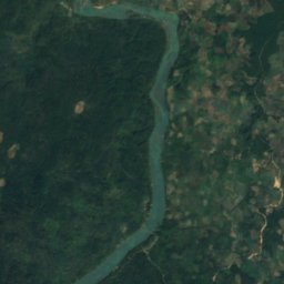


위성: Sentinel-2 cloudless 2016(EOX IT Services GmbH) · CC BY 4.0 · 수정된 Copernicus Sentinel 데이터(2016) 포함
Sa Thay River
Malik, Ratanakiri