الطبيعة
المياه والأنهار الجليدية والبرية في كمبوديا
البحيرات والشلالات والأنهار الجليدية والحدائق الوطنية والمآوي الجبلية، لكل منها موقعه وحجمه والطقس في جواره.
البحيرات52لكل منها صفحتها
الشلالات3لكل منها صفحتها
الحدائق الوطنية3لكل منها صفحتها
الشواطئ6لكل منها صفحتها

الصورة: Gabriella Clare Marino Gcmarino · CC BY-SA 3.0 · Wikimedia Commonsأبلغ عن هذه الصورة · بالرابط، دون تخزين
البحيرات
البحيرات في كمبوديا

الصورة: Gabriella Clare Marino Gcmarino · CC BY-SA 3.0 · Wikimedia Commonsأبلغ عن هذه الصورة · بالرابط، دون تخزين
West Baray
Siem Reap, Siem Reap


الصورة: Satbir Singh from London · CC BY 2.0 · Wikimedia Commonsأبلغ عن هذه الصورة · بالرابط، دون تخزين
Boeung Kak
Phnom Penh, Phnom Penh
1.3 km²
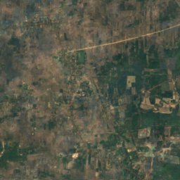
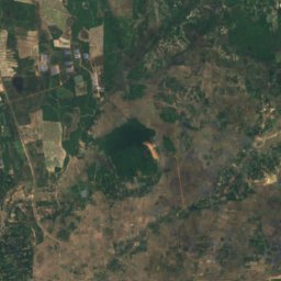
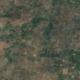
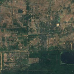
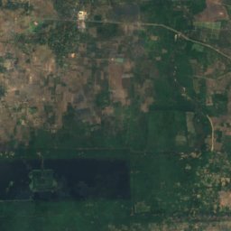
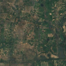
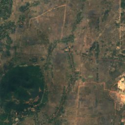
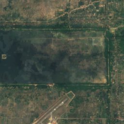
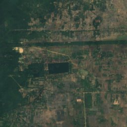
القمر الصناعي: Sentinel-2 cloudless 2016 من EOX IT Services GmbH · CC BY 4.0 · يتضمن بيانات Copernicus Sentinel (2016) معدّلة
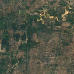
East Baray
Siem Reap, Siem Reap
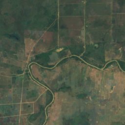
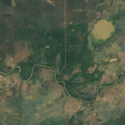
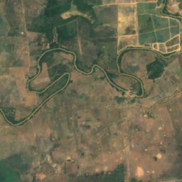
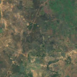
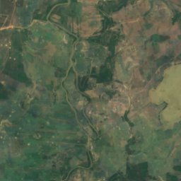
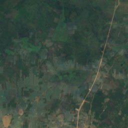
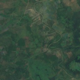
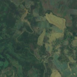
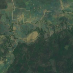
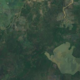
القمر الصناعي: Sentinel-2 cloudless 2016 من EOX IT Services GmbH · CC BY 4.0 · يتضمن بيانات Copernicus Sentinel (2016) معدّلة
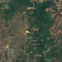
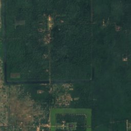
Boeng Anga
Kampong Thom, Kampong Thom
7 م
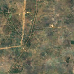
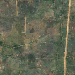
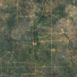
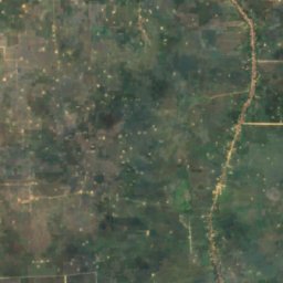
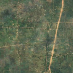
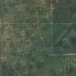
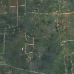
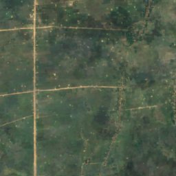
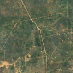
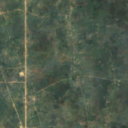
القمر الصناعي: Sentinel-2 cloudless 2016 من EOX IT Services GmbH · CC BY 4.0 · يتضمن بيانات Copernicus Sentinel (2016) معدّلة
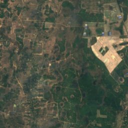
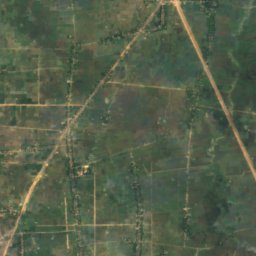
Boeng Khei
Prey Veng, Prey Veng
8 م
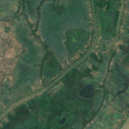
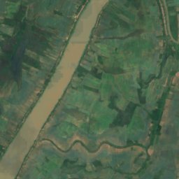
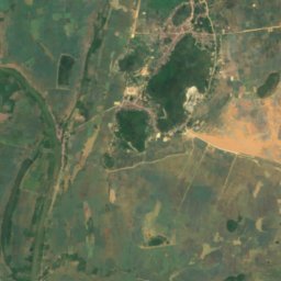
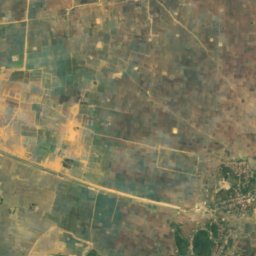
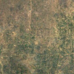
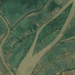
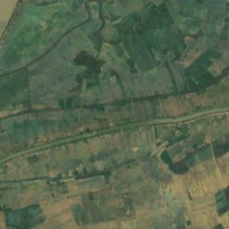
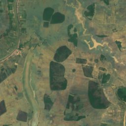
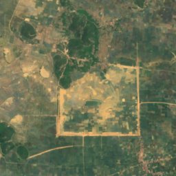
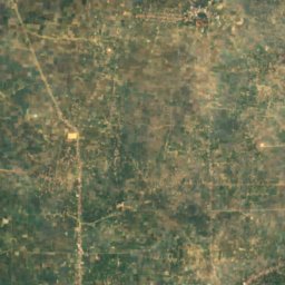
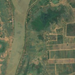
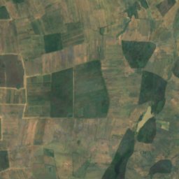
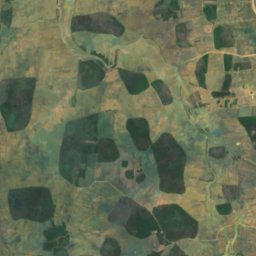
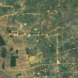
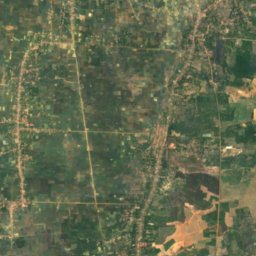
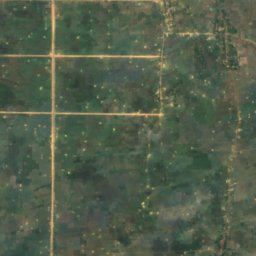
القمر الصناعي: Sentinel-2 cloudless 2016 من EOX IT Services GmbH · CC BY 4.0 · يتضمن بيانات Copernicus Sentinel (2016) معدّلة
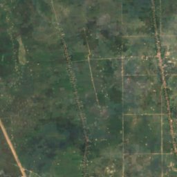
Beng Anlongdoeum Thom
Phumĭ Ândong Snay, Kampong Chhnang
3 م
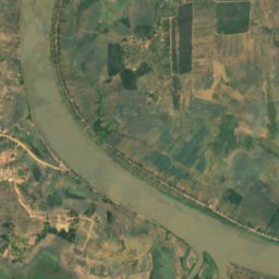
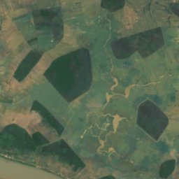
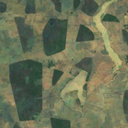
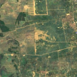
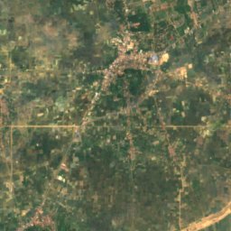
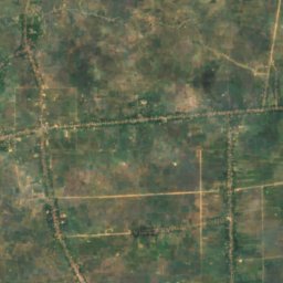
القمر الصناعي: Sentinel-2 cloudless 2016 من EOX IT Services GmbH · CC BY 4.0 · يتضمن بيانات Copernicus Sentinel (2016) معدّلة
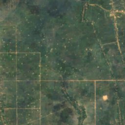
Beng Chi Chra
Longvek, Kampong Chhnang
3 م
القائمة الكاملة: البحيرات (52)
- Beng Anlongdoeum Thom
- Beng Chi Chra
- Beng Kek
- Beng Kes
- Beng Khlang
- Beng Khna
- Beng Khney Soy
- Beng Kok, Phnom Penh
- Beng Kok, Siem Reap
- Beng Molong
- Beng Phlous
- Beng Phsa
- Beng Pra
- Beng Pra Bet
- Beng Pralil
- Beng Prang Thom
- Beng Prang, Kampong Chhnang
- Beng Prang, Prey Veng
- Beng Pruos
- Beng Reachisey
- Beng Riel, Kampong Thom
- Beng Riel, Kampong Thom
- Beng Rompe
- Beng Sampoch
- Beng Sangker
- Beng Spung
- Beng Srap Ang Kam
- Beng Stung Rat
- Beng Thtea
- Beng Tok
- Beng Totung Thngnay
- Beng Tung
- Beng Tuol Anteas
- Beng Veal Samnap
- Beng Veam
- Boehg O Tom
- Boeng Anga
- Bœ̆ng Ânsaông
- Boeng Kak
- Boeng Kanlaeng Chhdaor
- Boeng Khei
- Bœ̆ng Krâchăb
- Bœ̆ng Péch Séna
- Bœ̆ng Prâlay
- Bœ̆ng Ta É
- Bœ̆ng Véal Lêng
- Boeung Kak
- East Baray
- Prek Beng Chhmos
- Srah Srang
- Tonle Bati
- West Baray
الشلالات
الشلالات في كمبوديا


الصورة: Adam Jones from Kelowna, BC, Canada · CC BY-SA 2.0 · Wikimedia Commonsأبلغ عن هذه الصورة · بالرابط، دون تخزين
Povokvil Waterfalls
Kampot, Kampot
1,000 م
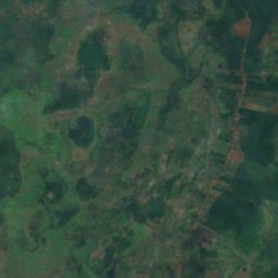
القمر الصناعي: Sentinel-2 cloudless 2016 من EOX IT Services GmbH · CC BY 4.0 · يتضمن بيانات Copernicus Sentinel (2016) معدّلة
Bou Sra Waterfall
Senmonorom, Mondolkiri
الحدائق الوطنية
الحدائق الوطنية في كمبوديا


الشواطئ
الشواطئ في كمبوديا


الجزر
الجزر في كمبوديا

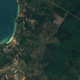
الصورة: Wikirictor at English Wikipedia · CC BY-SA 3.0 · Wikimedia Commonsأبلغ عن هذه الصورة · بالرابط، دون تخزين
Koh Rong Sanloem
Sihanoukville, Preah Sihanouk
202 م




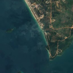
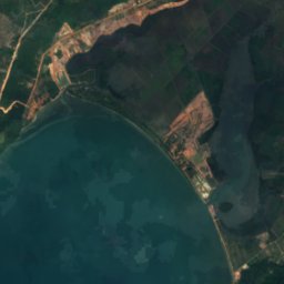
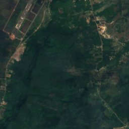


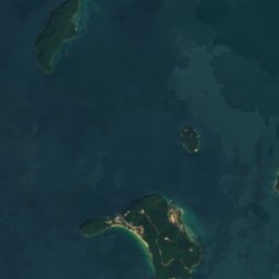
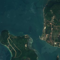
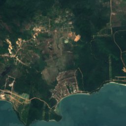



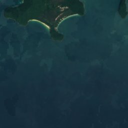

القمر الصناعي: Sentinel-2 cloudless 2016 من EOX IT Services GmbH · CC BY 4.0 · يتضمن بيانات Copernicus Sentinel (2016) معدّلة
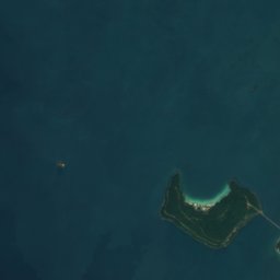
Koh Ta Kiev
Sihanoukville, Preah Sihanouk
1 م
القمر الصناعي: Sentinel-2 cloudless 2016 من EOX IT Services GmbH · CC BY 4.0 · يتضمن بيانات Copernicus Sentinel (2016) معدّلة
Koh Russei
Sihanoukville, Preah Sihanouk



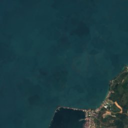


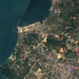

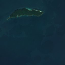

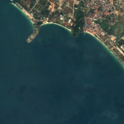
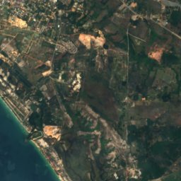
القمر الصناعي: Sentinel-2 cloudless 2016 من EOX IT Services GmbH · CC BY 4.0 · يتضمن بيانات Copernicus Sentinel (2016) معدّلة
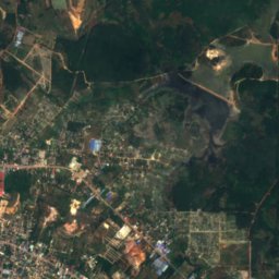
Koh Puos
Sihanoukville, Preah Sihanouk
3 م


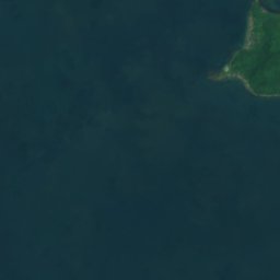
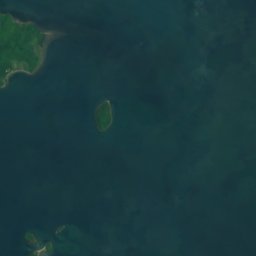



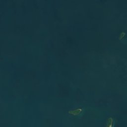
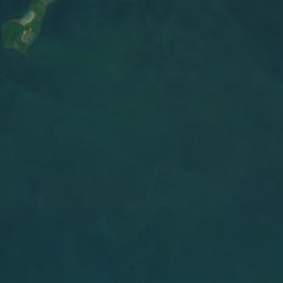



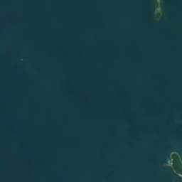
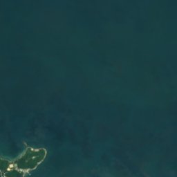

القمر الصناعي: Sentinel-2 cloudless 2016 من EOX IT Services GmbH · CC BY 4.0 · يتضمن بيانات Copernicus Sentinel (2016) معدّلة
Koh Ach Seh
Kep, Kep




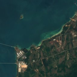
القمر الصناعي: Sentinel-2 cloudless 2016 من EOX IT Services GmbH · CC BY 4.0 · يتضمن بيانات Copernicus Sentinel (2016) معدّلة
Koh Preab
Sihanoukville, Preah Sihanouk
3 م
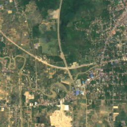
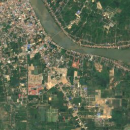
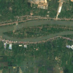
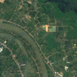
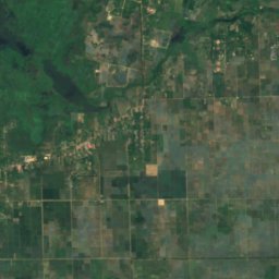
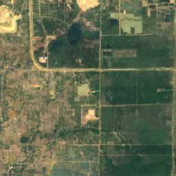
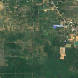
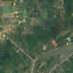
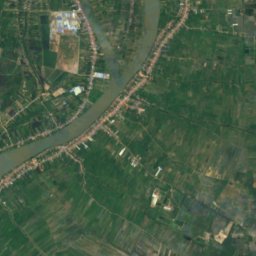
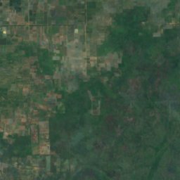
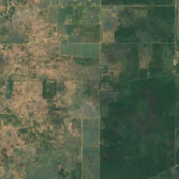
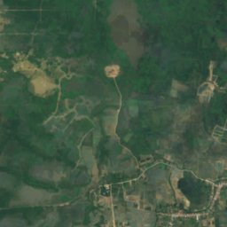
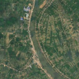
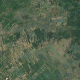
القمر الصناعي: Sentinel-2 cloudless 2016 من EOX IT Services GmbH · CC BY 4.0 · يتضمن بيانات Copernicus Sentinel (2016) معدّلة
Koh Romdual
Ta Khmau, Kandal
الكهوف
الكهوف في كمبوديا

الصورة: No(0)GoodNamesLeft · CC BY-SA 4.0 · Wikimedia Commonsأبلغ عن هذه الصورة · بالرابط، دون تخزين
Killing caves of Phnom Sampeau
Battambang, Battambang

الأنهار
الأنهار في كمبوديا


الصورة: Bùi Thụy Đào Nguyên · CC BY-SA 3.0 · Wikimedia Commonsأبلغ عن هذه الصورة · بالرابط، دون تخزين
Bình Di River
Kouk Thlok, Takeo
3 م
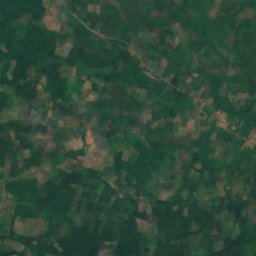
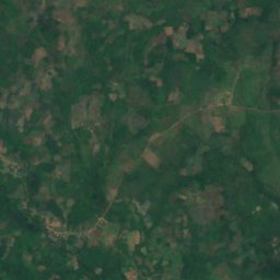
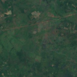
القمر الصناعي: Sentinel-2 cloudless 2016 من EOX IT Services GmbH · CC BY 4.0 · يتضمن بيانات Copernicus Sentinel (2016) معدّلة
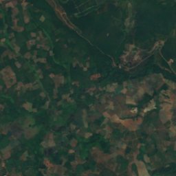
Chinit River
Stung Treng, Stung Treng

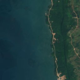
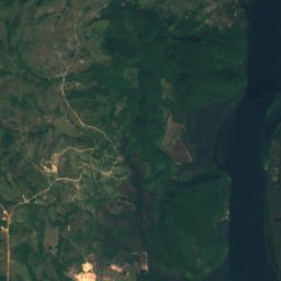
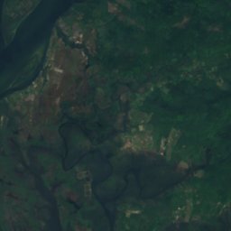
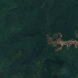



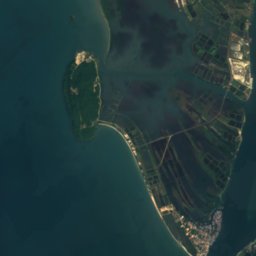
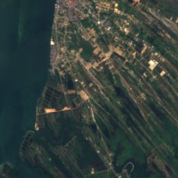
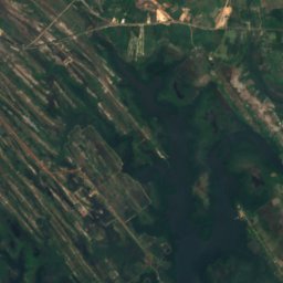
القمر الصناعي: Sentinel-2 cloudless 2016 من EOX IT Services GmbH · CC BY 4.0 · يتضمن بيانات Copernicus Sentinel (2016) معدّلة
Kah Bpow River
Koh Kong, Koh Kong
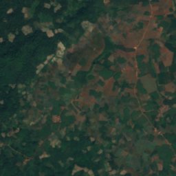
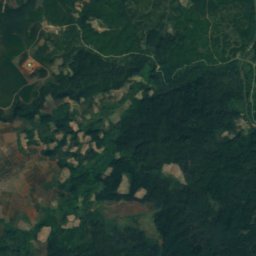
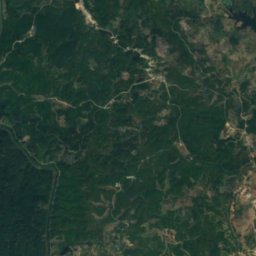
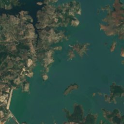
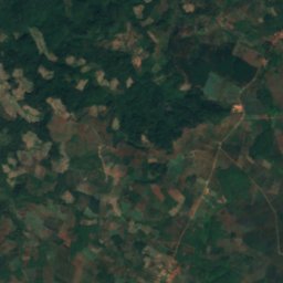
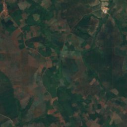
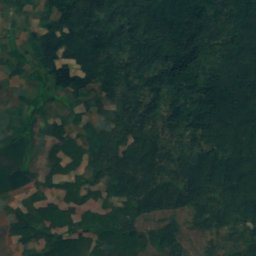
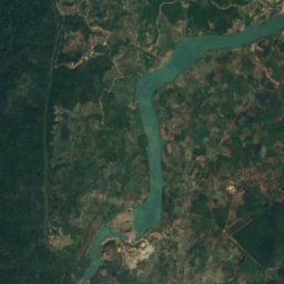
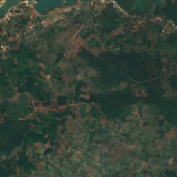
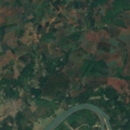
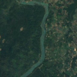


القمر الصناعي: Sentinel-2 cloudless 2016 من EOX IT Services GmbH · CC BY 4.0 · يتضمن بيانات Copernicus Sentinel (2016) معدّلة
Sa Thay River
Malik, Ratanakiri