Nature
Eaux, glaces et grands espaces du Cambodge
Lacs, cascades, glaciers, parcs nationaux et refuges de montagne, chacun avec sa situation, sa taille et la météo des localités voisines.
Lacs52ayant leur page
Cascades3ayant leur page
Parcs nationaux3ayant leur page
Plages6ayant leur page

Photo : Gabriella Clare Marino Gcmarino · CC BY-SA 3.0 · Wikimedia CommonsSignaler cette photo · affichée par lien, non copiée
Lacs
Lacs du Cambodge

Photo : Gabriella Clare Marino Gcmarino · CC BY-SA 3.0 · Wikimedia CommonsSignaler cette photo · affichée par lien, non copiée
Baray occidental
Siem Reap, Siem Reap

Photo : Diego Delso · CC BY-SA 3.0 · Wikimedia CommonsSignaler cette photo · affichée par lien, non copiée
Srah Srang
Siem Reap, Siem Reap

Photo : Colin W · CC BY-SA 3.0 · Wikimedia CommonsSignaler cette photo · affichée par lien, non copiée
Tonlé Bati
Kong Noy, Phnom Penh

Photo : Satbir Singh from London · CC BY 2.0 · Wikimedia CommonsSignaler cette photo · affichée par lien, non copiée
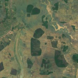
Boeung Kak
Phnom Penh, Phnom Penh
1,3 km²
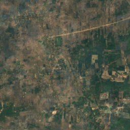
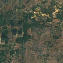
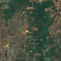
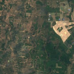
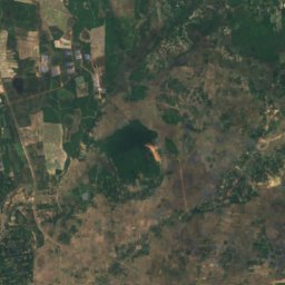
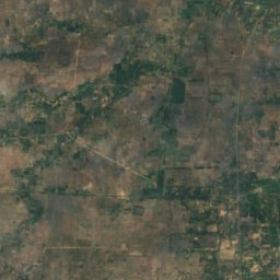
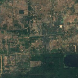
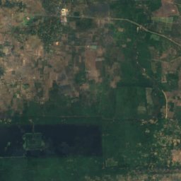
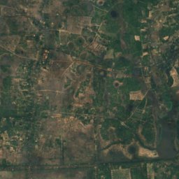
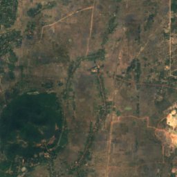
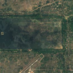
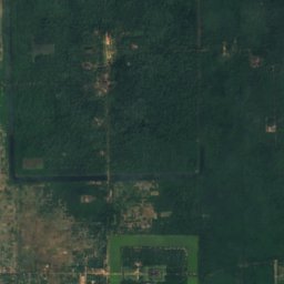
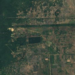
Satellite : Sentinel-2 cloudless 2016 par EOX IT Services GmbH · CC BY 4.0 · Contient des données Copernicus Sentinel modifiées (2016)
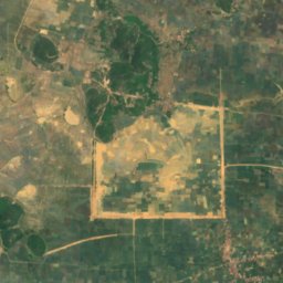
Baray oriental
Siem Reap, Siem Reap
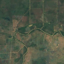
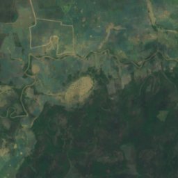
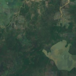
Satellite : Sentinel-2 cloudless 2016 par EOX IT Services GmbH · CC BY 4.0 · Contient des données Copernicus Sentinel modifiées (2016)
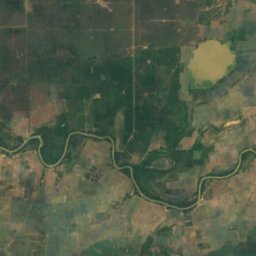
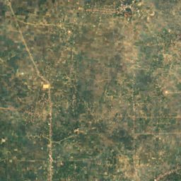
Boeng Anga
Kampong Thom, Kampong Thom
7 m
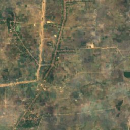
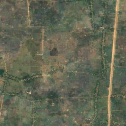
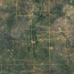
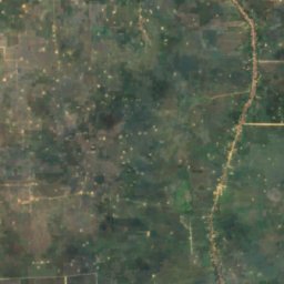
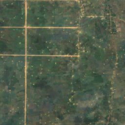
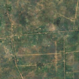
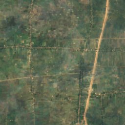
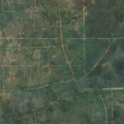
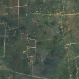
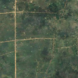
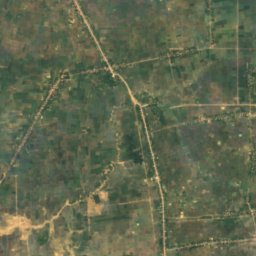
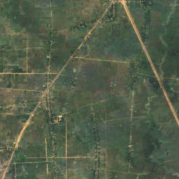
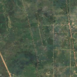
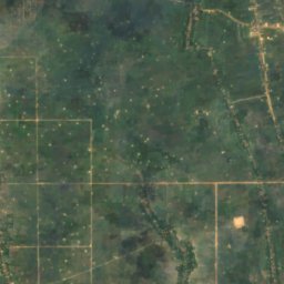
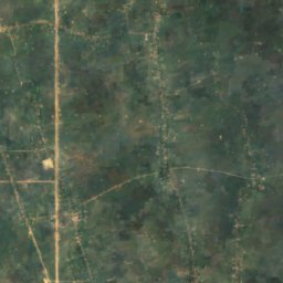
Satellite : Sentinel-2 cloudless 2016 par EOX IT Services GmbH · CC BY 4.0 · Contient des données Copernicus Sentinel modifiées (2016)
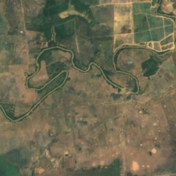
Boeng Khei
Prey Veng, Prey Veng
8 m
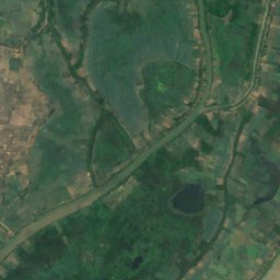
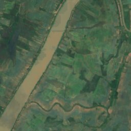
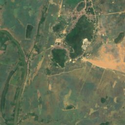
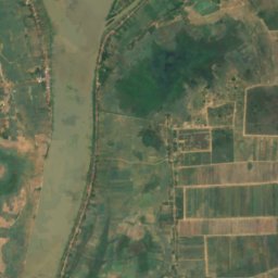
Satellite : Sentinel-2 cloudless 2016 par EOX IT Services GmbH · CC BY 4.0 · Contient des données Copernicus Sentinel modifiées (2016)
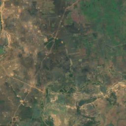
Beng Anlongdoeum Thom
Phumĭ Ândong Snay, Kampong Chhnang
3 m
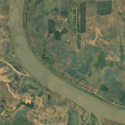
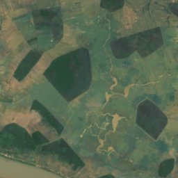
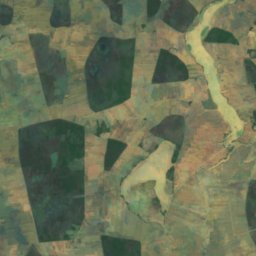
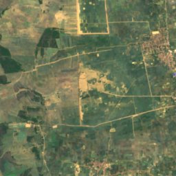
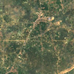
Satellite : Sentinel-2 cloudless 2016 par EOX IT Services GmbH · CC BY 4.0 · Contient des données Copernicus Sentinel modifiées (2016)
Beng Chi Chra
Longvek, Kampong Chhnang
3 m
Les 52 lacs
- Baray occidental
- Baray oriental
- Beng Anlongdoeum Thom
- Beng Chi Chra
- Beng Kek
- Beng Kes
- Beng Khlang
- Beng Khna
- Beng Khney Soy
- Beng Kok, Phnom Penh
- Beng Kok, Siem Reap
- Beng Molong
- Beng Phlous
- Beng Pra
- Beng Pra Bet
- Beng Pralil
- Beng Prang Thom
- Beng Prang, Kampong Chhnang
- Beng Prang, Prey Veng
- Beng Pruos
- Beng Reachisey
- Beng Riel, Kampong Thom
- Beng Riel, Kampong Thom
- Beng Rompe
- Beng Sampoch
- Beng Sangker
- Beng Spung
- Beng Srap Ang Kam
- Beng Stung Rat
- Beng Thtea
- Beng Tok
- Beng Totung Thngnay
- Beng Tung
- Beng Veal Samnap
- Beng Veam
- Boehg O Tom
- Boeng Anga
- Bœ̆ng Ânsaông
- Boeng Kak
- Boeng Kanlaeng Chhdaor
- Boeng Khei
- Bœ̆ng Krâchăb
- Bœ̆ng Péch Séna
- Bœ̆ng Ta É
- Bœ̆ng Véal Lêng
- Boeung Kak
- Prek Beng Chhmos
- Srah Srang
- Tonlé Bati
- បឹង ផ្សា
- បឹងឈើទាលស្រុត
- បឹងប្រឡាយ
Cascades
Cascades du Cambodge

Photo : D.Makeev · CC BY-SA 4.0 · Wikimedia CommonsSignaler cette photo · affichée par lien, non copiée
រមណីយដ្ឋានទឹកធ្លាក់ក្បាលឆាយ
Sihanoukville, Preah Sihanouk

Photo : Adam Jones from Kelowna, BC, Canada · CC BY-SA 2.0 · Wikimedia CommonsSignaler cette photo · affichée par lien, non copiée
Popokvil
Kampot, Kampot
1 000 m
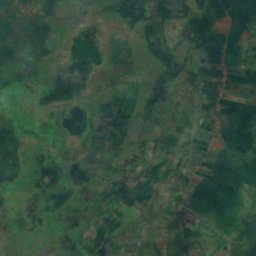
Satellite : Sentinel-2 cloudless 2016 par EOX IT Services GmbH · CC BY 4.0 · Contient des données Copernicus Sentinel modifiées (2016)
ទឹកជ្រោះប៊ូស្រា
Senmonorom, Mondolkiri
Parcs nationaux
Parcs nationaux du Cambodge


Photo : Dmitry Makeev · CC BY-SA 4.0 · Wikimedia CommonsSignaler cette photo · affichée par lien, non copiée
Parc national de Ream
Sihanoukville, Preah Sihanouk
210 km²

Plages
Plages du Cambodge

Photo : Dmitry Makeev · CC BY-SA 4.0 · Wikimedia CommonsSignaler cette photo · affichée par lien, non copiée
Hawaii beach
Sihanoukville, Preah Sihanouk

Photo : Dmitry Makeev · CC BY-SA 4.0 · Wikimedia CommonsSignaler cette photo · affichée par lien, non copiée
Hun Sen beach
Sihanoukville, Preah Sihanouk

Photo : Dmitry Makeev] · CC BY-SA 4.0 · Wikimedia CommonsSignaler cette photo · affichée par lien, non copiée
Independence beach
Sihanoukville, Preah Sihanouk

Photo : Dmitry Makeev · CC BY-SA 4.0 · Wikimedia CommonsSignaler cette photo · affichée par lien, non copiée
Ochheuteal Beach
Sihanoukville, Preah Sihanouk

Photo : Dmitry Makeev · CC BY-SA 4.0 · Wikimedia CommonsSignaler cette photo · affichée par lien, non copiée
Prek Treng beach
Sihanoukville, Preah Sihanouk

Photo : Dmitry Makeev · CC BY-SA 4.0 · Wikimedia CommonsSignaler cette photo · affichée par lien, non copiée
Serendipity Beach
Sihanoukville, Preah Sihanouk
Îles
Îles du Cambodge

Photo : Wikirictor at English Wikipedia · CC BY-SA 3.0 · Wikimedia CommonsSignaler cette photo · affichée par lien, non copiée
Koh Rong Sanloem
Sihanoukville, Preah Sihanouk
202 m

Photo : Peter Merrett · Public domain · Wikimedia CommonsSignaler cette photo · affichée par lien, non copiée
Koh Tonsay
Kep, Kep

Photo : Dmitry Makeev · CC BY-SA 4.0 · Wikimedia CommonsSignaler cette photo · affichée par lien, non copiée
កោះដេកកោល
Sihanoukville, Preah Sihanouk


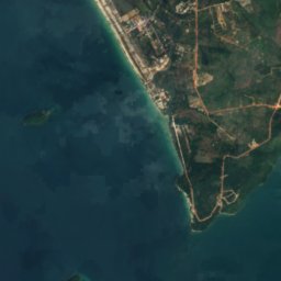
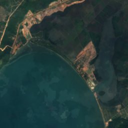
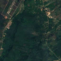


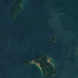
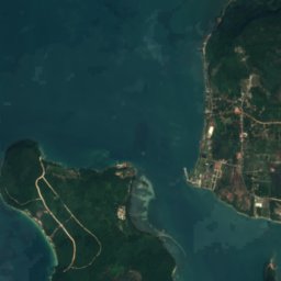
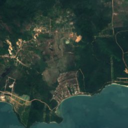



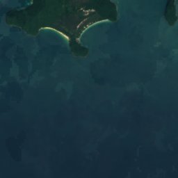

Satellite : Sentinel-2 cloudless 2016 par EOX IT Services GmbH · CC BY 4.0 · Contient des données Copernicus Sentinel modifiées (2016)
កោះតាកៀវ
Sihanoukville, Preah Sihanouk
1 m
Satellite : Sentinel-2 cloudless 2016 par EOX IT Services GmbH · CC BY 4.0 · Contient des données Copernicus Sentinel modifiées (2016)
Koh Russey
Sihanoukville, Preah Sihanouk



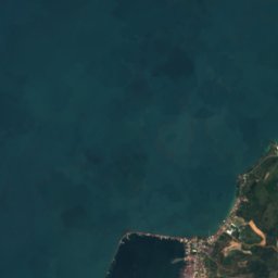
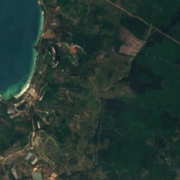


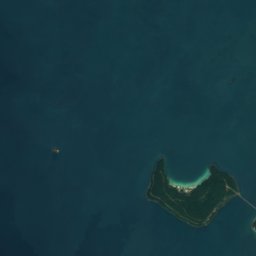
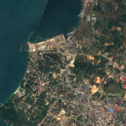
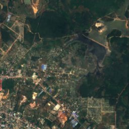

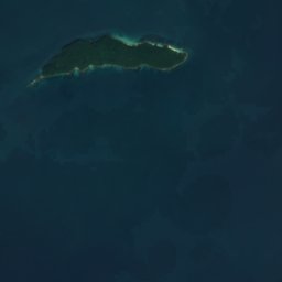

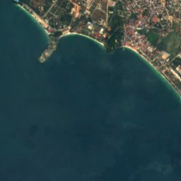
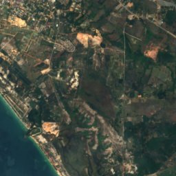
Satellite : Sentinel-2 cloudless 2016 par EOX IT Services GmbH · CC BY 4.0 · Contient des données Copernicus Sentinel modifiées (2016)
កោះពស់
Sihanoukville, Preah Sihanouk
3 m


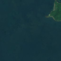
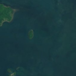



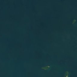
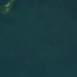



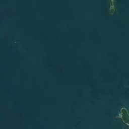
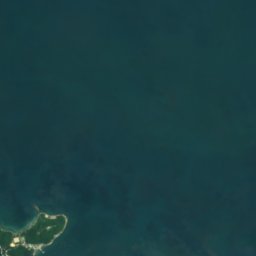

Satellite : Sentinel-2 cloudless 2016 par EOX IT Services GmbH · CC BY 4.0 · Contient des données Copernicus Sentinel modifiées (2016)
កោះអាចម៍សេះ
Kep, Kep




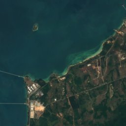
Satellite : Sentinel-2 cloudless 2016 par EOX IT Services GmbH · CC BY 4.0 · Contient des données Copernicus Sentinel modifiées (2016)
Koh Preab
Sihanoukville, Preah Sihanouk
3 m
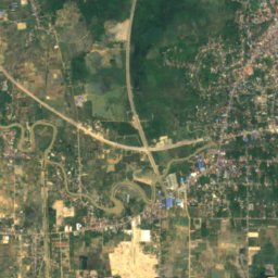
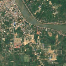
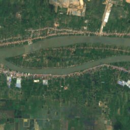
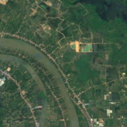
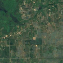
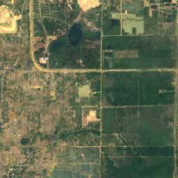
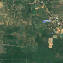
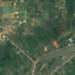
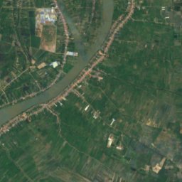
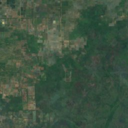
Satellite : Sentinel-2 cloudless 2016 par EOX IT Services GmbH · CC BY 4.0 · Contient des données Copernicus Sentinel modifiées (2016)
Koh Romdual
Ta Khmau, Kandal
Grottes
Grottes du Cambodge

Photo : No(0)GoodNamesLeft · CC BY-SA 4.0 · Wikimedia CommonsSignaler cette photo · affichée par lien, non copiée
Grottes de Phnom Sampeau
Battambang, Battambang

Photo : PsamatheM · CC BY-SA 4.0 · Wikimedia CommonsSignaler cette photo · affichée par lien, non copiée
Phnom Sorsia
Koun Sat, Kampot
Rivières et fleuves
Rivières et fleuves du Cambodge

Photo : I, Ondřej Žváček · CC BY 2.5 · Wikimedia CommonsSignaler cette photo · affichée par lien, non copiée
Bassac
Veal Sbov, Phnom Penh

Photo : August Dominus · CC BY-SA 4.0 · Wikimedia CommonsSignaler cette photo · affichée par lien, non copiée
Tonlé San
Stung Treng, Stung Treng

Photo : James Heilman, MD · CC BY-SA 3.0 · Wikimedia CommonsSignaler cette photo · affichée par lien, non copiée
Sangker
Siem Reap, Siem Reap

Photo : Bùi Thụy Đào Nguyên · CC BY-SA 3.0 · Wikimedia CommonsSignaler cette photo · affichée par lien, non copiée
Bình Di River
Kouk Thlok, Takeo
3 m
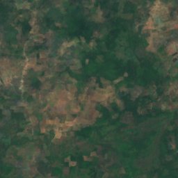
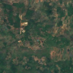
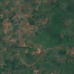
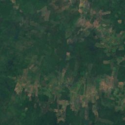
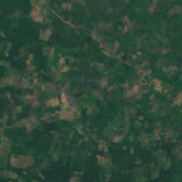
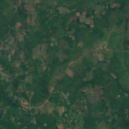
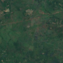
Satellite : Sentinel-2 cloudless 2016 par EOX IT Services GmbH · CC BY 4.0 · Contient des données Copernicus Sentinel modifiées (2016)
ស្ទឹងជីនិត
Stung Treng, Stung Treng

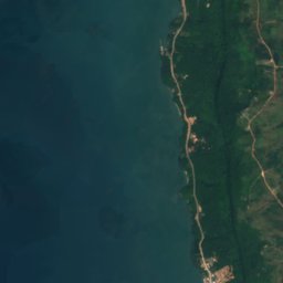
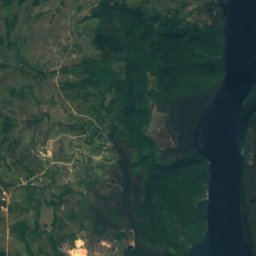
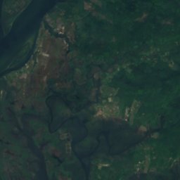
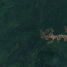



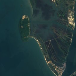
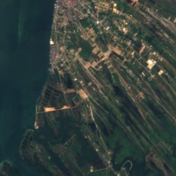
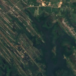
Satellite : Sentinel-2 cloudless 2016 par EOX IT Services GmbH · CC BY 4.0 · Contient des données Copernicus Sentinel modifiées (2016)
Kah Bpow
Koh Kong, Koh Kong
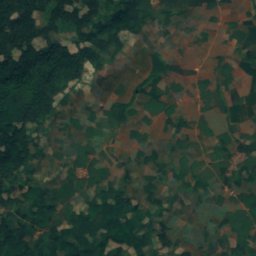
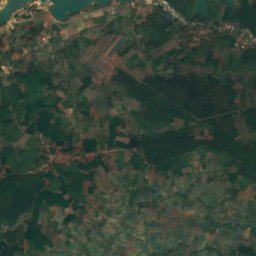
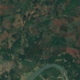
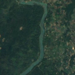


Satellite : Sentinel-2 cloudless 2016 par EOX IT Services GmbH · CC BY 4.0 · Contient des données Copernicus Sentinel modifiées (2016)
Sa Thay River
Malik, Ratanakiri