자연
벨리즈의 물가, 빙하, 야생
호수, 폭포, 빙하, 국립공원, 산장. 각각의 위치, 규모, 주변 날씨를 소개합니다.
호수50곳(개별 페이지 있음)
폭포20곳(개별 페이지 있음)
국립공원11곳(개별 페이지 있음)
해변1곳(개별 페이지 있음)

호수
벨리즈의 호수

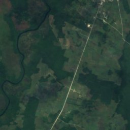
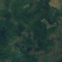
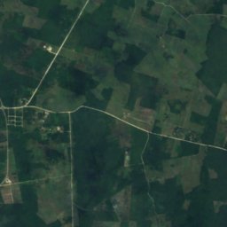
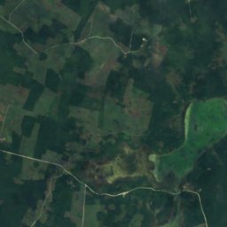
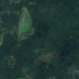
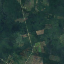
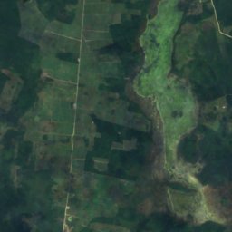
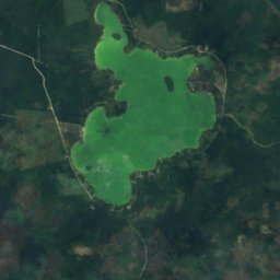
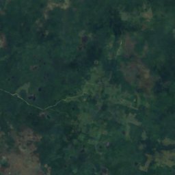
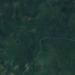
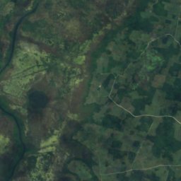
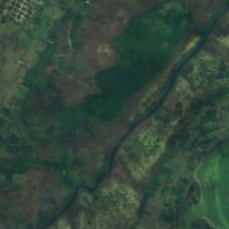
위성: Sentinel-2 cloudless 2016(EOX IT Services GmbH) · CC BY 4.0 · 수정된 Copernicus Sentinel 데이터(2016) 포함
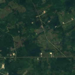
Honey Camp Lagoon
San Jose Palmar, Orange Walk District
3.6 km²
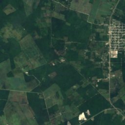
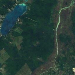
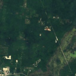
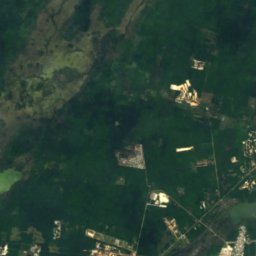
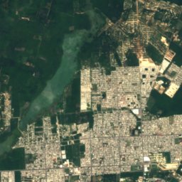
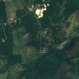
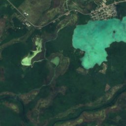
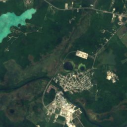
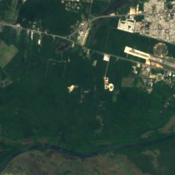
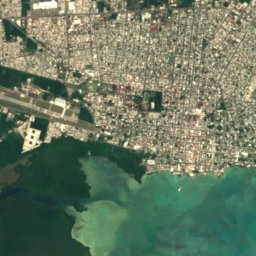
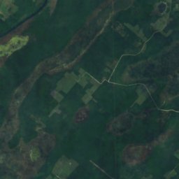
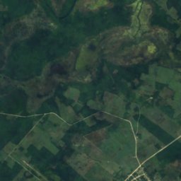
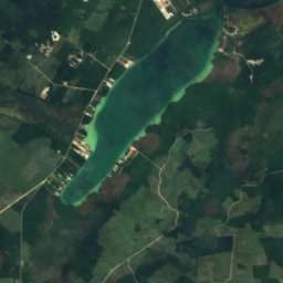
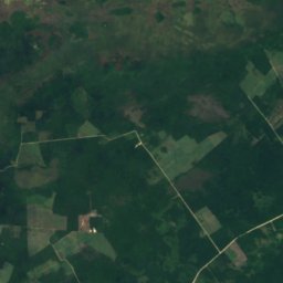
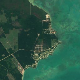
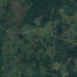
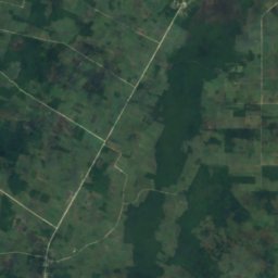
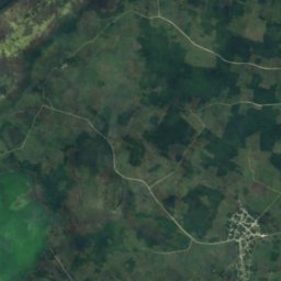
위성: Sentinel-2 cloudless 2016(EOX IT Services GmbH) · CC BY 4.0 · 수정된 Copernicus Sentinel 데이터(2016) 포함
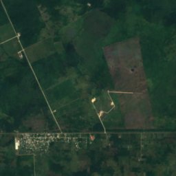
Four Mile Lagoon, Río Hondo
Chan Chen, Corozal District
2.7 km²
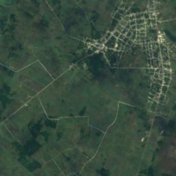
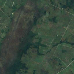
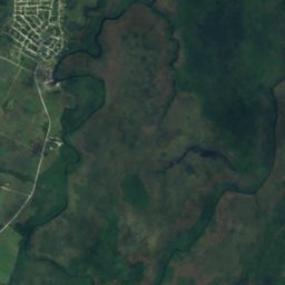
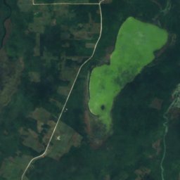
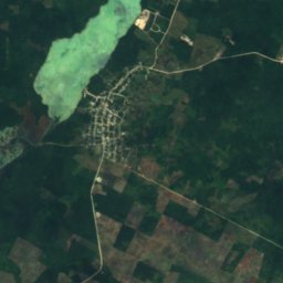
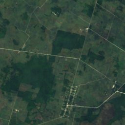
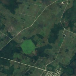
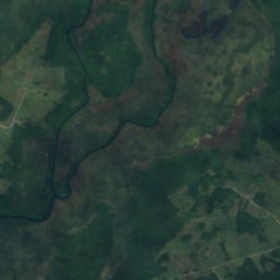
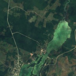
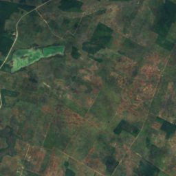
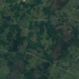
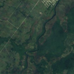
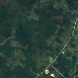
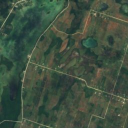
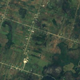
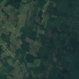
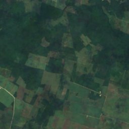
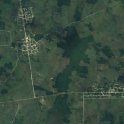
위성: Sentinel-2 cloudless 2016(EOX IT Services GmbH) · CC BY 4.0 · 수정된 Copernicus Sentinel 데이터(2016) 포함
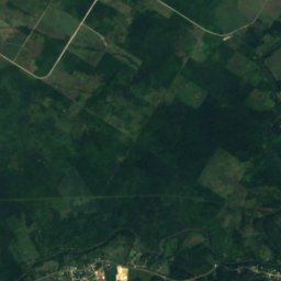
Progresso Lagoon
Progresso, Corozal District
6.4 km²
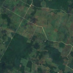
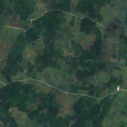
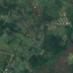
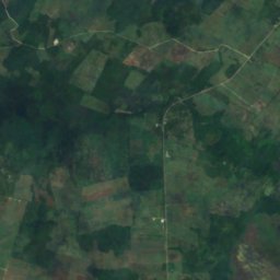
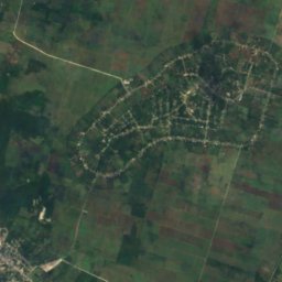
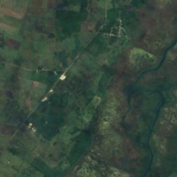
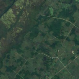
위성: Sentinel-2 cloudless 2016(EOX IT Services GmbH) · CC BY 4.0 · 수정된 Copernicus Sentinel 데이터(2016) 포함
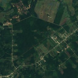
Sapote Lagoon
San Narciso, Corozal District
2.5 km²
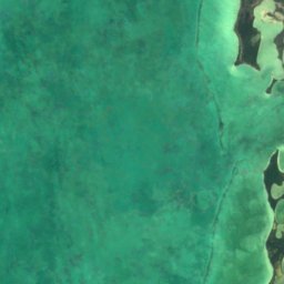
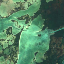
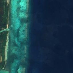

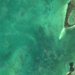
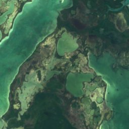
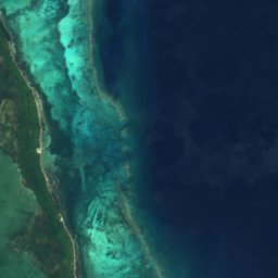

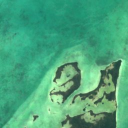
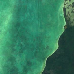
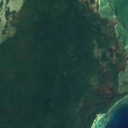
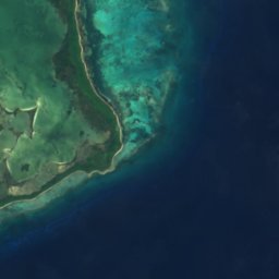

위성: Sentinel-2 cloudless 2016(EOX IT Services GmbH) · CC BY 4.0 · 수정된 Copernicus Sentinel 데이터(2016) 포함
Laguna de Cantena
San Pedro Town, Belize District
7.1 km²
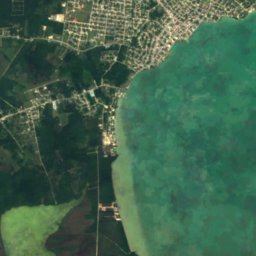
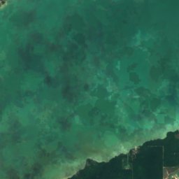
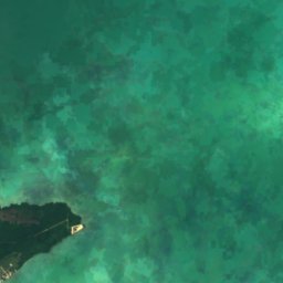
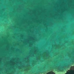
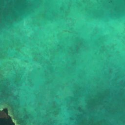
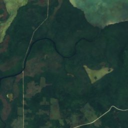
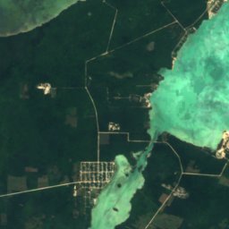
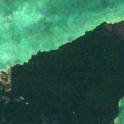
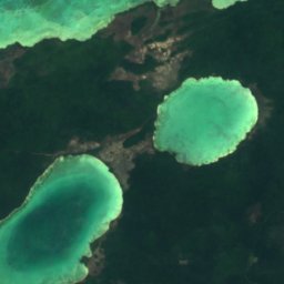
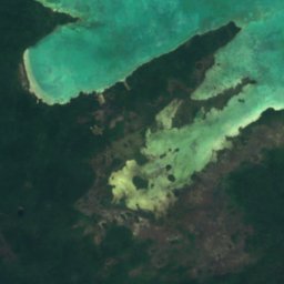
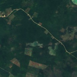
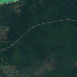
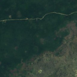
위성: Sentinel-2 cloudless 2016(EOX IT Services GmbH) · CC BY 4.0 · 수정된 Copernicus Sentinel 데이터(2016) 포함
Barracouta Pond
Copper Bank, Corozal District
3.2 km²

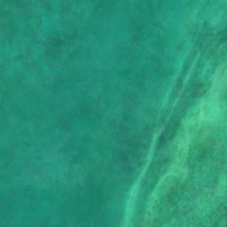
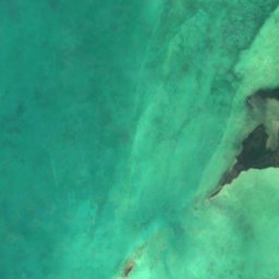
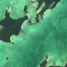
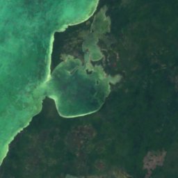
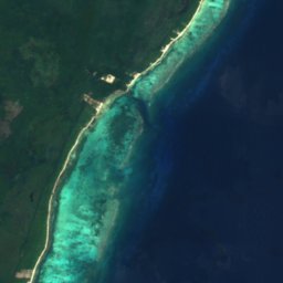
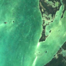
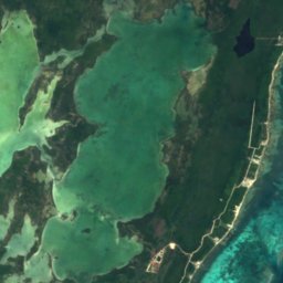
위성: Sentinel-2 cloudless 2016(EOX IT Services GmbH) · CC BY 4.0 · 수정된 Copernicus Sentinel 데이터(2016) 포함
Laguna de Cayo Frances
San Pedro Town, Belize District
6.2 km²
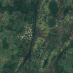
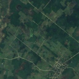
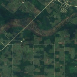
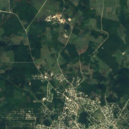
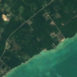
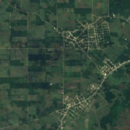
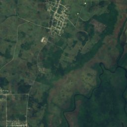
위성: Sentinel-2 cloudless 2016(EOX IT Services GmbH) · CC BY 4.0 · 수정된 Copernicus Sentinel 데이터(2016) 포함
Four Mile Lagoon
Calcutta, Corozal District
1.5 km²
전체 목록: 호수 50곳
- Aguacate Lagoon
- Almond Hill Lagoon
- Barracouta Pond
- Black Creek Lagoon
- Bulkhead Lagoon
- Button Lagoon
- Buttonwood Lagoon
- Carta Blanca Lagoon
- Cenote Lagoon
- Chan Laguna
- Chiwa Lagoon
- Commerce Bight Lagoon
- Cox Lagoon
- Crabcatcher Lagoon
- Crique Blanco Zibal
- Cudjoe Lagoon
- Dolly Creek Lagoon
- Doubloon Bank Lagoon
- Five Blues Lake
- Four Mile Lagoon
- Four Mile Lagoon, Río Hondo
- Freshwater Creek Lagoon
- Honey Camp Lagoon
- Indian Hill Lagoon
- Laguna de Boca Ciega
- Laguna de Cantena
- Laguna de Cayo Frances
- Laguna de Mato
- Locust Hill Pond
- Mafredi Lagoon
- Midwinters Lagoon
- Mucklehany Lagoon
- Northern River Lagoon
- Peppercamp Lagoon
- Placentia Lagoon
- Potts Creek Lagoon
- Progresso Lagoon
- Punta Ycacos Lagoon
- Quashie Trap Lagoon
- Ridge Lagoon
- Rocky Point Lagoon
- Saltillo Lagoon
- Santa Cruz Lagoon
- Sapodilla Lagoon
- Sapote Lagoon
- Straight Lagoon
- Tooths Lagoon
- Wagner Lagoon
- Will Edwards Lagoon
- Yarborough Lagoon
폭포
벨리즈의 폭포
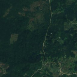
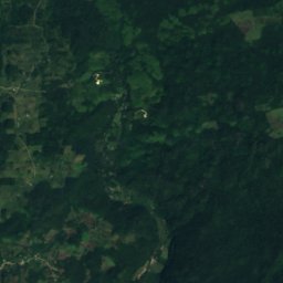
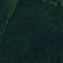
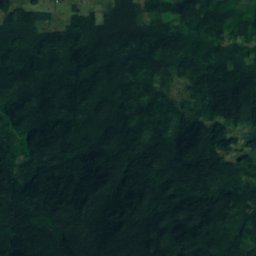
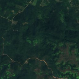
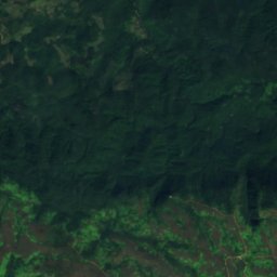
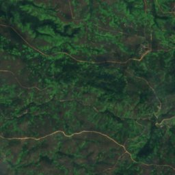
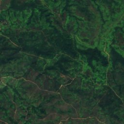
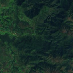
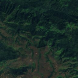
위성: Sentinel-2 cloudless 2016(EOX IT Services GmbH) · CC BY 4.0 · 수정된 Copernicus Sentinel 데이터(2016) 포함
Thousand Foot Falls
Armenia, Cayo District
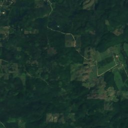
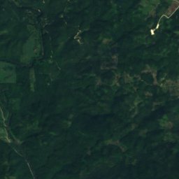
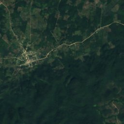
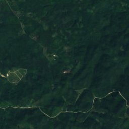
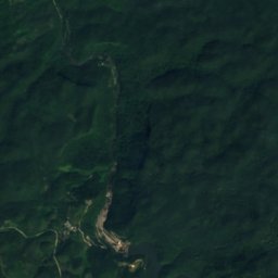
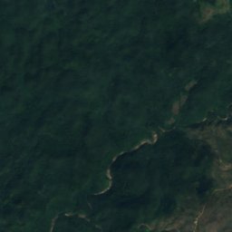
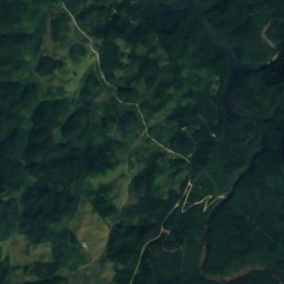
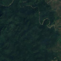
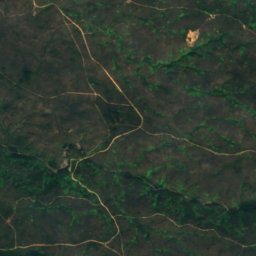
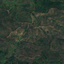
위성: Sentinel-2 cloudless 2016(EOX IT Services GmbH) · CC BY 4.0 · 수정된 Copernicus Sentinel 데이터(2016) 포함
Big Rock Falls
San Antonio, Cayo District
위성: Sentinel-2 cloudless 2016(EOX IT Services GmbH) · CC BY 4.0 · 수정된 Copernicus Sentinel 데이터(2016) 포함
Davis Falls
Pomona, Southern District
254 m
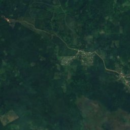
위성: Sentinel-2 cloudless 2016(EOX IT Services GmbH) · CC BY 4.0 · 수정된 Copernicus Sentinel 데이터(2016) 포함
Swasey Stopper Fall
San Pablo, Toledo District
215 m
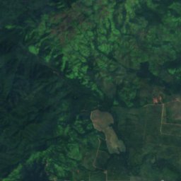
위성: Sentinel-2 cloudless 2016(EOX IT Services GmbH) · CC BY 4.0 · 수정된 Copernicus Sentinel 데이터(2016) 포함
Bull Reef Falls
Santa Cruz, Southern District
84 m
위성: Sentinel-2 cloudless 2016(EOX IT Services GmbH) · CC BY 4.0 · 수정된 Copernicus Sentinel 데이터(2016) 포함
Double Fall
San Pablo, Toledo District
163 m
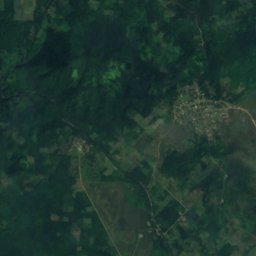
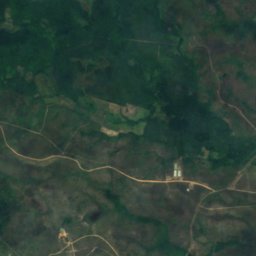
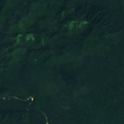
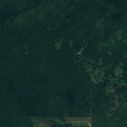
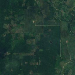
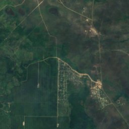
위성: Sentinel-2 cloudless 2016(EOX IT Services GmbH) · CC BY 4.0 · 수정된 Copernicus Sentinel 데이터(2016) 포함
First Fall
San Pablo, Toledo District
53 m
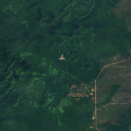
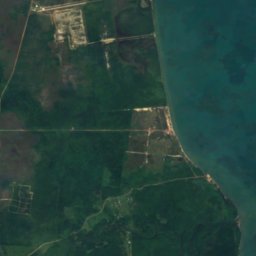
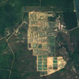
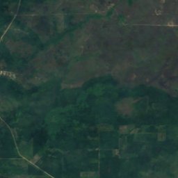
위성: Sentinel-2 cloudless 2016(EOX IT Services GmbH) · CC BY 4.0 · 수정된 Copernicus Sentinel 데이터(2016) 포함
Hell Gate Falls
Pomona, Southern District
337 m
위성: Sentinel-2 cloudless 2016(EOX IT Services GmbH) · CC BY 4.0 · 수정된 Copernicus Sentinel 데이터(2016) 포함
Hellgate Run
Silk Grass, Southern District
44 m
전체 목록: 폭포 20곳
- Big Rock Falls
- Bull Reef Falls
- Davis Falls
- Double Fall
- First Fall
- Hell Gate Falls
- Hellgate Run
- La Clarissa Fall
- Laguna Azul Falls
- Little Fall
- Meditation Falls
- Meditation Rapids
- Monkey Fall
- Paslow Fall, Bullet Tree Falls
- Paslow Fall, More Tomorrow
- San Antonio Falls
- Sapote Fall
- Swasey Stopper Fall
- The Pitcher
- Thousand Foot Falls
국립공원
벨리즈의 국립공원


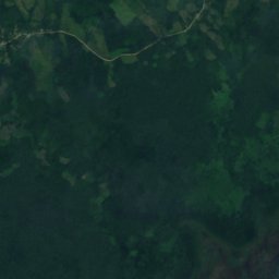
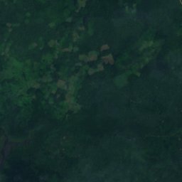
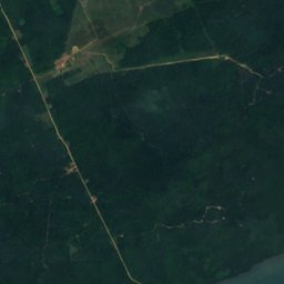
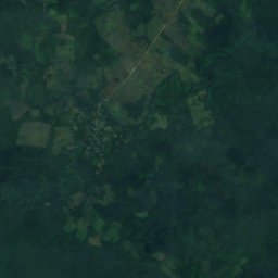
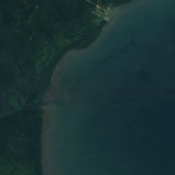
위성: Sentinel-2 cloudless 2016(EOX IT Services GmbH) · CC BY 4.0 · 수정된 Copernicus Sentinel 데이터(2016) 포함
Sarstoon-Temash National Park
Aguacate, Toledo District
169 km²
위성: Sentinel-2 cloudless 2016(EOX IT Services GmbH) · CC BY 4.0 · 수정된 Copernicus Sentinel 데이터(2016) 포함
Payne's Creek National Park
Bella Vista, Toledo District
147 km²
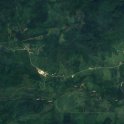
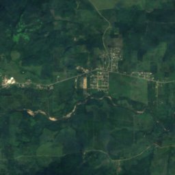
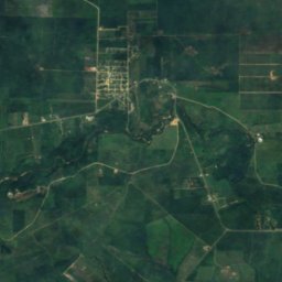
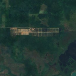
위성: Sentinel-2 cloudless 2016(EOX IT Services GmbH) · CC BY 4.0 · 수정된 Copernicus Sentinel 데이터(2016) 포함
Mayflower Bocawina National Park
Silk Grass, Southern District
29 km²
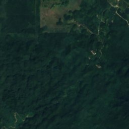
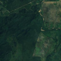
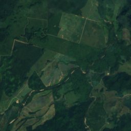
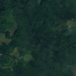
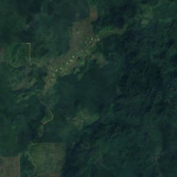
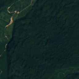
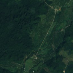
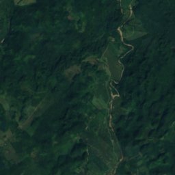
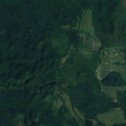
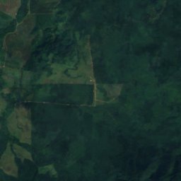
위성: Sentinel-2 cloudless 2016(EOX IT Services GmbH) · CC BY 4.0 · 수정된 Copernicus Sentinel 데이터(2016) 포함
Five Blues Lake National Park
St. Margaret, Cayo District
17 km²
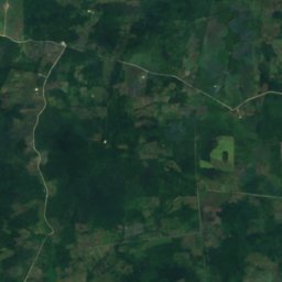
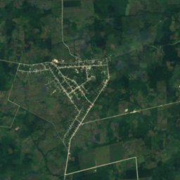
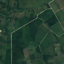
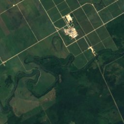
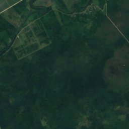
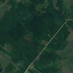
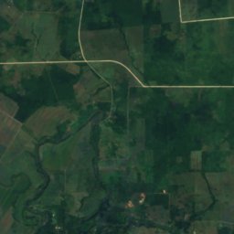
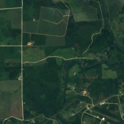
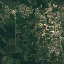
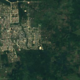
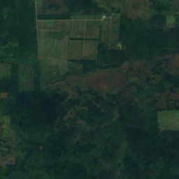
위성: Sentinel-2 cloudless 2016(EOX IT Services GmbH) · CC BY 4.0 · 수정된 Copernicus Sentinel 데이터(2016) 포함
Guanacaste National Park
Roaring Creek, Cayo District
0 km²
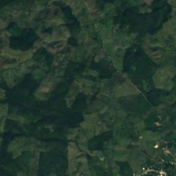
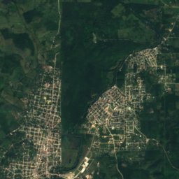
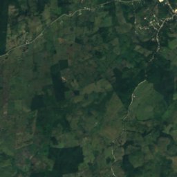
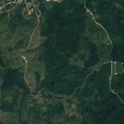
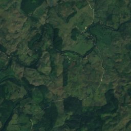
위성: Sentinel-2 cloudless 2016(EOX IT Services GmbH) · CC BY 4.0 · 수정된 Copernicus Sentinel 데이터(2016) 포함
Elijio Panti National Park
San Antonio, Cayo District
전체 목록: 국립공원 11곳
- Bacalar Chico National Park
- Billy Barquedier National Park
- Elijio Panti National Park
- Five Blues Lake National Park
- Guanacaste National Park
- Laughing Bird Caye National Park
- Mayflower Bocawina National Park
- Payne's Creek National Park
- Peccary Hills National Park
- Sarstoon-Temash National Park
- St. Herman's Blue Hole National Park
해변
벨리즈의 해변
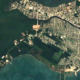
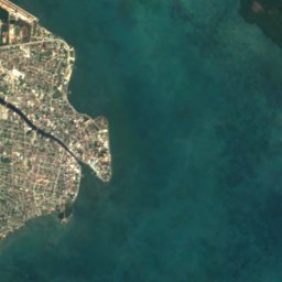
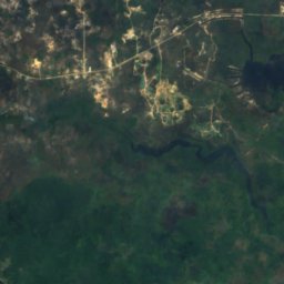
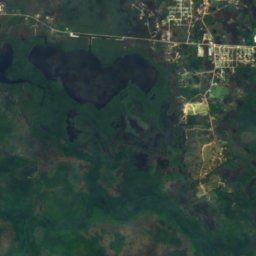
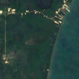

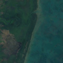


위성: Sentinel-2 cloudless 2016(EOX IT Services GmbH) · CC BY 4.0 · 수정된 Copernicus Sentinel 데이터(2016) 포함
Sibun Beach
Western Paradise, Belize District
섬
벨리즈의 섬

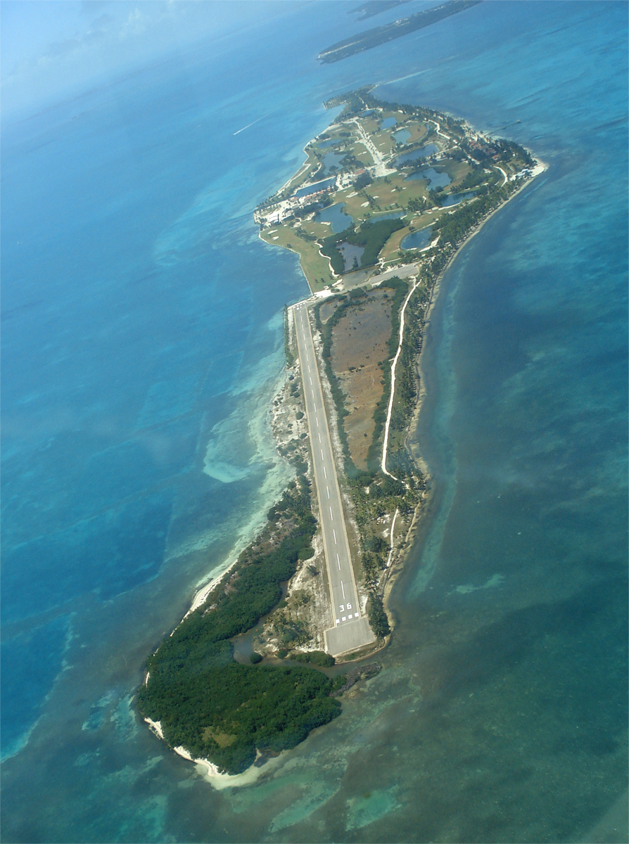
사진: Deceased parent of Infrogmation. Please credit "Family photos of Infrogmation". · CC BY-SA 4.0 · Wikimedia Commons이 사진 신고 · 링크만, 저장 없음
Ambergris Caye
San Pedro Town, Belize District



전체 목록: 섬 145곳
- Albion Island
- Alligator Cay
- Ambergris Caye
- Bakers Rendezvous
- Barrier Reef
- Bird Cay
- Bird Island
- Birds Island
- Bread and Butter Cay
- Bulkhead Reef
- Buzzard Shoals
- Cangrejo Cay
- Carrie Bow Cay
- Cary Cay
- Cat Cay
- Cataract Cay
- Caye Caulker
- Caye Chapel
- Cayo Cazón
- Cayo Espanto
- Cayo Frances
- Cayo Iguano
- Cayo Romero
- Cayo Rosario
- Cayo Tostado
- Channel Cay
- Clarke Cay
- Coco Plum Cay
- Coffee Cay
- Cohune Cay
- Colson Cay
- Columbus Cay
- Columbus Reef
- Crawl Cay, Southern District
- Crayfish Cay
- Crocker Sand Bore
- Cross Cay, Southern District
- Crow's Nest Cay
- Curlew Cay, Belize District
- Curlew Cay, Southern District
- Deer Cay
- Dula Cay
- Ellen Cay
- English Cay
- Falle Cay
- False Cay
- Frank Knoll
- Frenchman's Cay, Belize District
- Frenchman's Cay, Toledo District
- Gallows Point Reef
- Garbutt's Cay
- Glory Cay
- Goff's Caye
- Great Monkey Cay
- Harvest Cay
- Harvest Caye
- Hutson Cay
- Iguana Cay
- Lark Cay
- Last Chance Cay
- Laughing Bird Caye
- Little Monkey Cay
- Little Peter Cay
- Little Water Cay
- Long Cay, Belize City
- Long Cay, Caye Caulker
- Long Coco Cay
- Man of War Cay, Corozal District
- Man of War Cay, Southern District
- Manatee Bar
- Mapp's Cay
- Maria Bank
- Marlowe Cay
- Mexico Rocks
- Middle Snake Cay
- Moho Cay, Southern District
- Moho Cay, Toledo District
- Moho Caye
- Monkey Shoal
- Montego Cay
- Mosquito Cay, Belize District
- Mosquito Cay, Southern District
- Mullins Bar
- Mutine Shoal
- Negro Head
- Northeast Cay, Southern District
- Northeast Spit
- Norval Cay
- Oyster Banks
- Palmetto Cay
- Pantile Heads
- Paunch Cay Spit
- Penguin Shoals
- Peter Douglas Cay
- Piedras de Mato
- Placentia Cay
- Potts Shoal
- Quamina Cay
- Ragged Cay, Southern District
- Rambler Shoals
- Rendezvous Cay, Southern District
- Rock Cay
- Round Cay, Southern District
- Royal Belize
- Saddle Cay, Southern District
- Savannah Cay
- Scipio Cay
- Shag Cay
- Shark Ray Alley
- Shipstern Cay
- Sibun Bar
- Sickle Cay
- Silk Cayes
- Simmonds Cay
- Sittee Island
- Slasher Sand Bore
- Small Cay, Bella Vista
- Small Cay, Punta Gorda
- Sophia Rocks
- South Snake Cay
- South Water Caye
- Southern Long Cay
- Spanish Cay
- Spanish Cay Spit
- Spruce Cay
- St. George's Caye
- Stewart Cay
- Stuart Cay
- Tarpum Cay
- Thatch Caye
- The Cay
- The Sandbore
- The Spit
- Tobacco Caye
- Tobacco Reef
- Twelve Feet Bank
- Water Cay Spit
- Wee Wee Cay
- West Snake Cay
- White Grounds Spit
- White Rock
- Wild Cane Cay
- Wilson Cay
- Wippari Cay
- Youngs Cay
동굴
벨리즈의 동굴


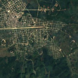
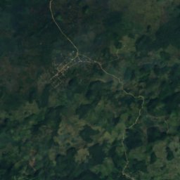
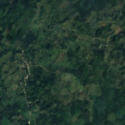
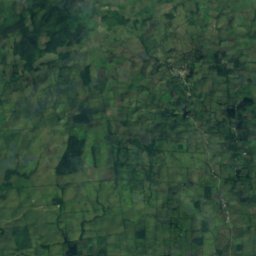
위성: Sentinel-2 cloudless 2016(EOX IT Services GmbH) · CC BY 4.0 · 수정된 Copernicus Sentinel 데이터(2016) 포함
Naj Tunich
Aguacate, Toledo District
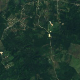
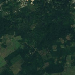
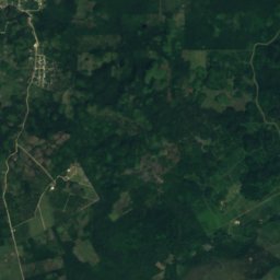
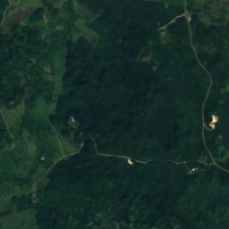
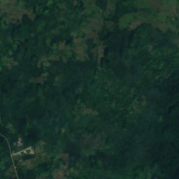
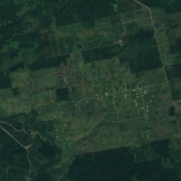
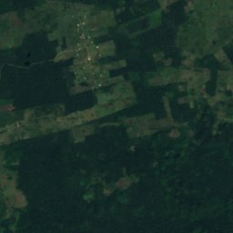
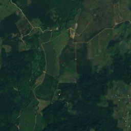
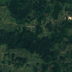
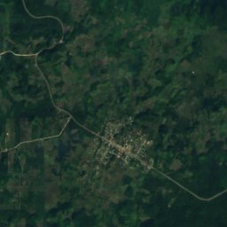
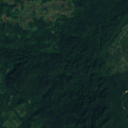
위성: Sentinel-2 cloudless 2016(EOX IT Services GmbH) · CC BY 4.0 · 수정된 Copernicus Sentinel 데이터(2016) 포함
Midnight Terror Cave
Armenia, Cayo District
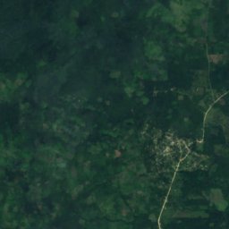
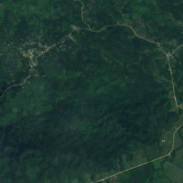
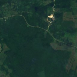
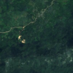
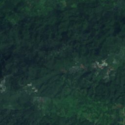
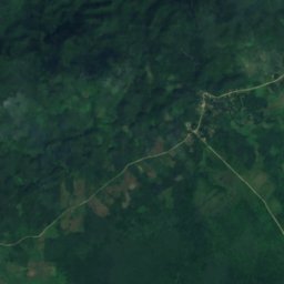
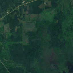
위성: Sentinel-2 cloudless 2016(EOX IT Services GmbH) · CC BY 4.0 · 수정된 Copernicus Sentinel 데이터(2016) 포함
Rio Blanco Cave
Blue Creek Village, Toledo District
253 m
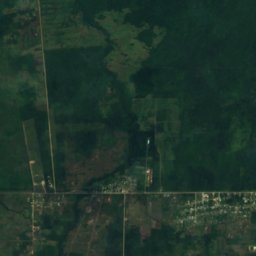
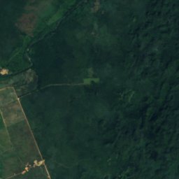
위성: Sentinel-2 cloudless 2016(EOX IT Services GmbH) · CC BY 4.0 · 수정된 Copernicus Sentinel 데이터(2016) 포함
Nohoch Che'en
St. Matthew’s, Cayo District
위성: Sentinel-2 cloudless 2016(EOX IT Services GmbH) · CC BY 4.0 · 수정된 Copernicus Sentinel 데이터(2016) 포함
Black Hole Drop
Armenia, Cayo District
232 m
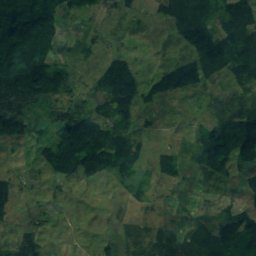
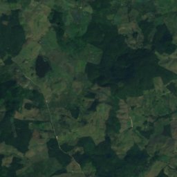
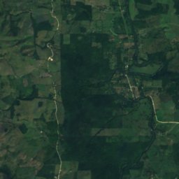
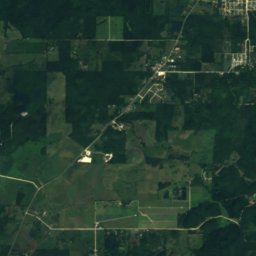
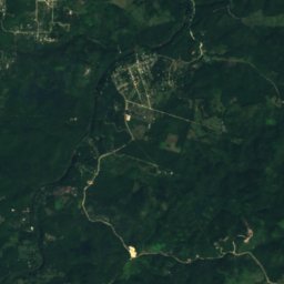
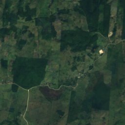
위성: Sentinel-2 cloudless 2016(EOX IT Services GmbH) · CC BY 4.0 · 수정된 Copernicus Sentinel 데이터(2016) 포함
Che Chem Ha
Benque Viejo del Carmen, Cayo District
강


