Doğa
Belize'nin suları, buzulları ve vahşi doğası
Göller, şelaleler, buzullar, millî parklar ve dağ evleri; her biri konumu, büyüklüğü ve yakındaki yerlerin havasıyla.
Göller50kendi sayfasıyla
Şelaleler20kendi sayfasıyla
Millî parklar11kendi sayfasıyla
Plajlar1kendi sayfasıyla

Fotoğraf: stbraun · CC BY-SA 3.0 · Wikimedia CommonsBu fotoğrafı bildir · bağlantı verilir, saklanmaz
Göller
Belize'nin göller

Fotoğraf: stbraun · CC BY-SA 3.0 · Wikimedia CommonsBu fotoğrafı bildir · bağlantı verilir, saklanmaz
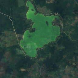
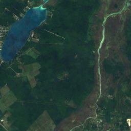
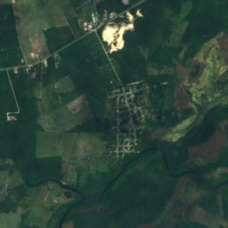
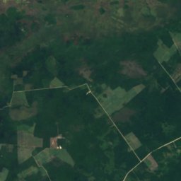
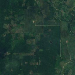
Aguacate Lagoon
Spanish Lookout, Cayo District
96 m
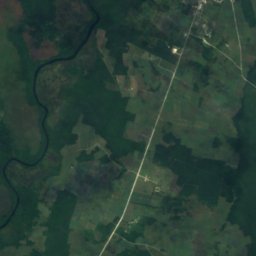
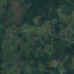
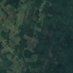
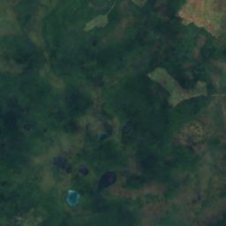
Uydu: Sentinel-2 cloudless 2016, EOX IT Services GmbH · CC BY 4.0 · Değiştirilmiş Copernicus Sentinel verileri içerir (2016)
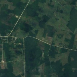
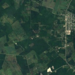
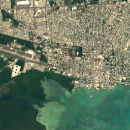
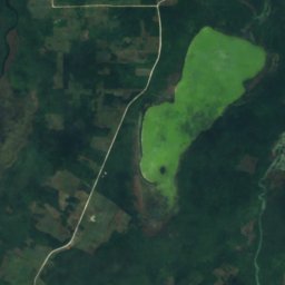
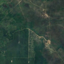
Honey Camp Lagoon
San Jose Palmar, Orange Walk District
3,6 km²
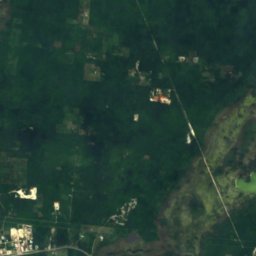
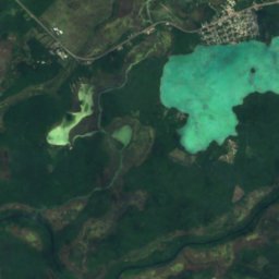
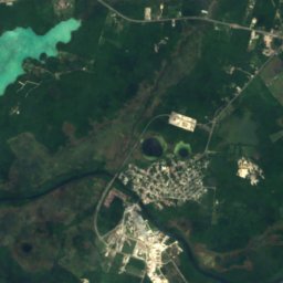
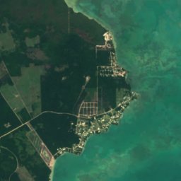
Uydu: Sentinel-2 cloudless 2016, EOX IT Services GmbH · CC BY 4.0 · Değiştirilmiş Copernicus Sentinel verileri içerir (2016)
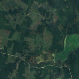
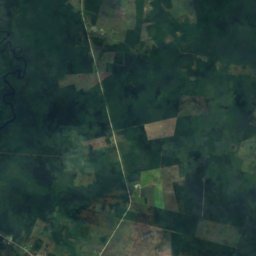
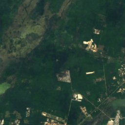
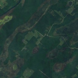
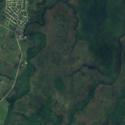
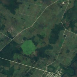
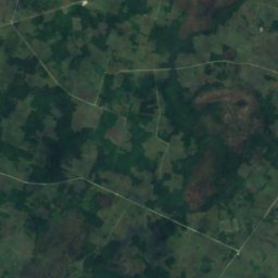
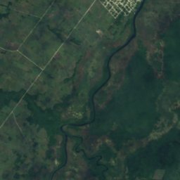
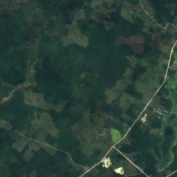
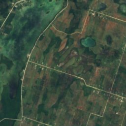
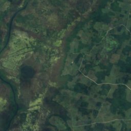
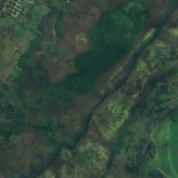
Four Mile Lagoon, Río Hondo
Chan Chen, Corozal District
2,7 km²
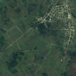
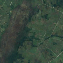
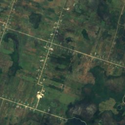
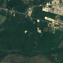
Uydu: Sentinel-2 cloudless 2016, EOX IT Services GmbH · CC BY 4.0 · Değiştirilmiş Copernicus Sentinel verileri içerir (2016)
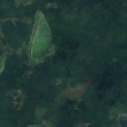
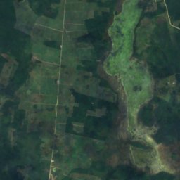
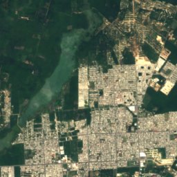
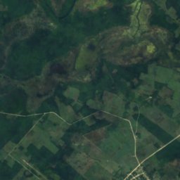
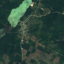
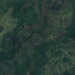
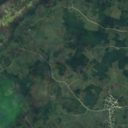
Progresso Lagoon
Progresso, Corozal District
6,4 km²
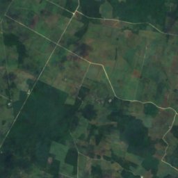
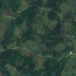
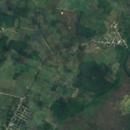
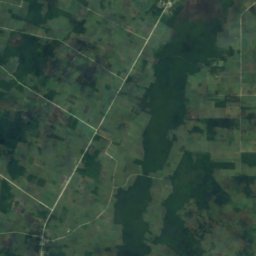
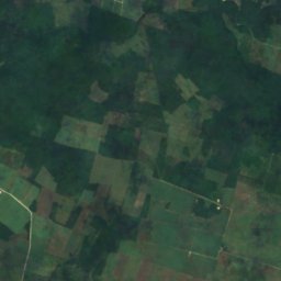
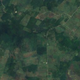
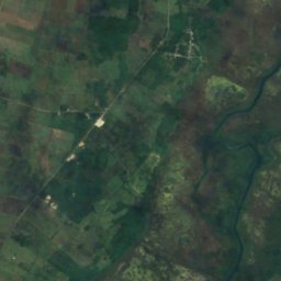
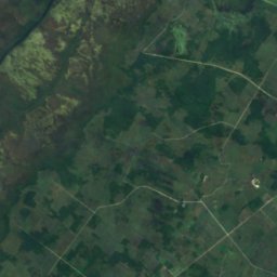
Uydu: Sentinel-2 cloudless 2016, EOX IT Services GmbH · CC BY 4.0 · Değiştirilmiş Copernicus Sentinel verileri içerir (2016)
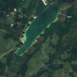
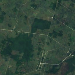
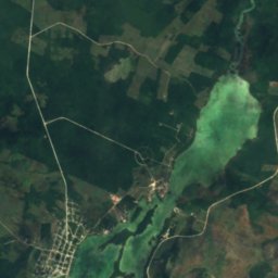
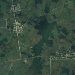
Sapote Lagoon
San Narciso, Corozal District
2,5 km²
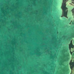
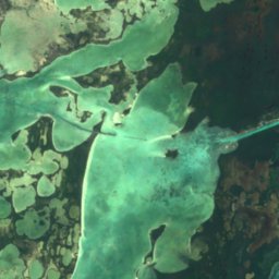
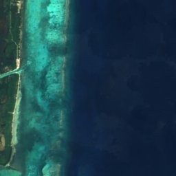

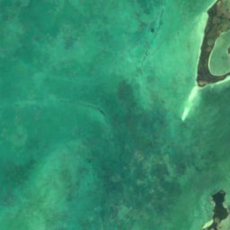
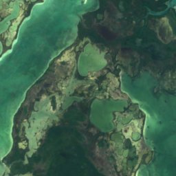
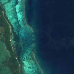

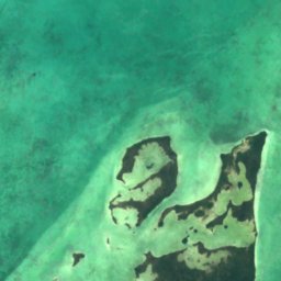
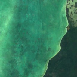
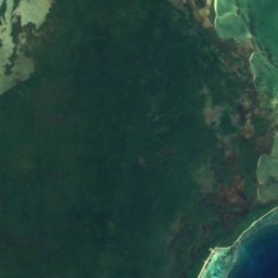
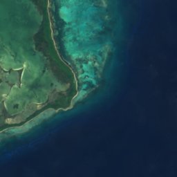

Uydu: Sentinel-2 cloudless 2016, EOX IT Services GmbH · CC BY 4.0 · Değiştirilmiş Copernicus Sentinel verileri içerir (2016)
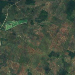
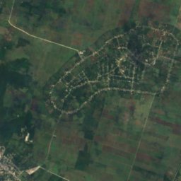
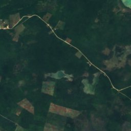
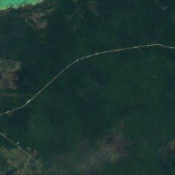
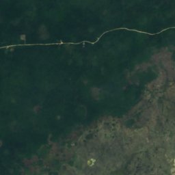
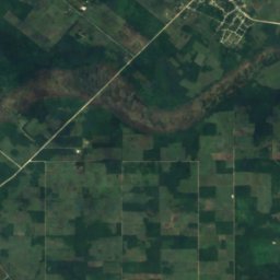
Laguna de Cantena
San Pedro Town, Belize District
7,1 km²
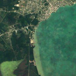
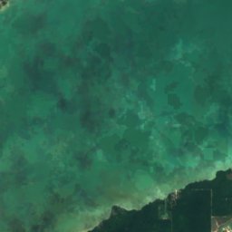
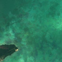
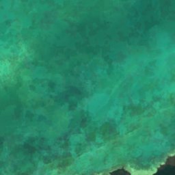
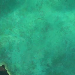
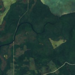
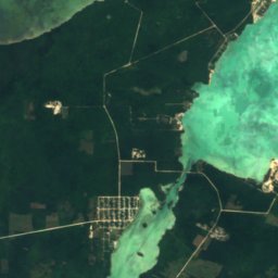
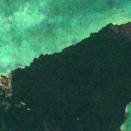
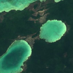
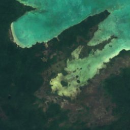
Uydu: Sentinel-2 cloudless 2016, EOX IT Services GmbH · CC BY 4.0 · Değiştirilmiş Copernicus Sentinel verileri içerir (2016)
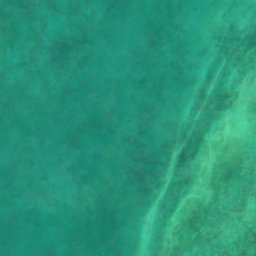
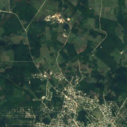
Barracouta Pond
Copper Bank, Corozal District
3,2 km²

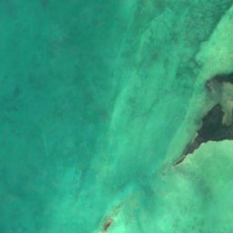
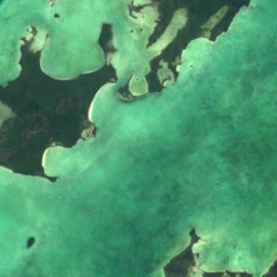
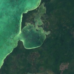
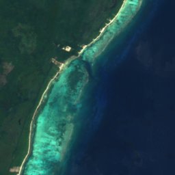
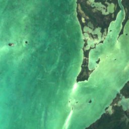
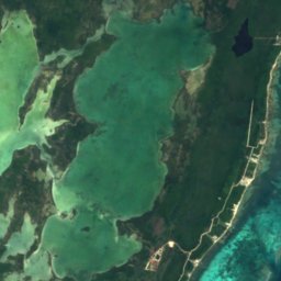
Uydu: Sentinel-2 cloudless 2016, EOX IT Services GmbH · CC BY 4.0 · Değiştirilmiş Copernicus Sentinel verileri içerir (2016)
Laguna de Cayo Frances
San Pedro Town, Belize District
6,2 km²
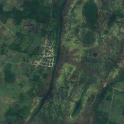
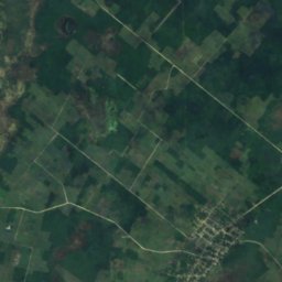
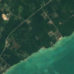
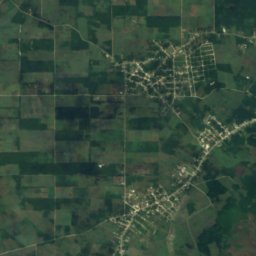
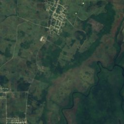
Uydu: Sentinel-2 cloudless 2016, EOX IT Services GmbH · CC BY 4.0 · Değiştirilmiş Copernicus Sentinel verileri içerir (2016)
Four Mile Lagoon
Calcutta, Corozal District
1,5 km²
Tam liste: 50 göl
- Aguacate Lagoon
- Almond Hill Lagoon
- Barracouta Pond
- Black Creek Lagoon
- Bulkhead Lagoon
- Button Lagoon
- Buttonwood Lagoon
- Carta Blanca Lagoon
- Cenote Lagoon
- Chan Laguna
- Chiwa Lagoon
- Commerce Bight Lagoon
- Cox Lagoon
- Crabcatcher Lagoon
- Crique Blanco Zibal
- Cudjoe Lagoon
- Dolly Creek Lagoon
- Doubloon Bank Lagoon
- Five Blues Lake
- Four Mile Lagoon
- Four Mile Lagoon, Río Hondo
- Freshwater Creek Lagoon
- Honey Camp Lagoon
- Indian Hill Lagoon
- Lago Sapodilla
- Laguna de Boca Ciega
- Laguna de Cantena
- Laguna de Cayo Frances
- Laguna de Mato
- Locust Hill Pond
- Mafredi Lagoon
- Midwinters Lagoon
- Mucklehany Lagoon
- Northern River Lagoon
- Peppercamp Lagoon
- Placentia Lagoon
- Potts Creek Lagoon
- Progresso Lagoon
- Punta Ycacos Lagoon
- Quashie Trap Lagoon
- Ridge Lagoon
- Rocky Point Lagoon
- Saltillo Lagoon
- Santa Cruz Lagoon
- Sapote Lagoon
- Straight Lagoon
- Tooths Lagoon
- Wagner Lagoon
- Will Edwards Lagoon
- Yarborough Lagoon
Şelaleler
Belize'nin şelaleler
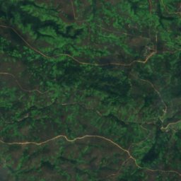
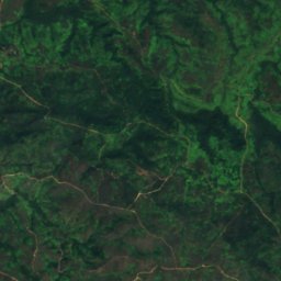
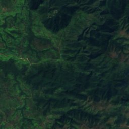
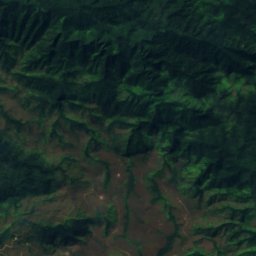
Uydu: Sentinel-2 cloudless 2016, EOX IT Services GmbH · CC BY 4.0 · Değiştirilmiş Copernicus Sentinel verileri içerir (2016)
Cataratas Mil Pies
Armenia, Cayo District
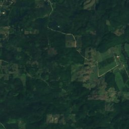
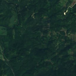
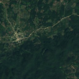
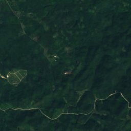
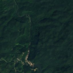
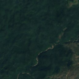
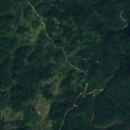
Uydu: Sentinel-2 cloudless 2016, EOX IT Services GmbH · CC BY 4.0 · Değiştirilmiş Copernicus Sentinel verileri içerir (2016)
Cataratas Big Rock
San Antonio, Cayo District
Uydu: Sentinel-2 cloudless 2016, EOX IT Services GmbH · CC BY 4.0 · Değiştirilmiş Copernicus Sentinel verileri içerir (2016)
Davis Falls
Pomona, Southern District
254 m
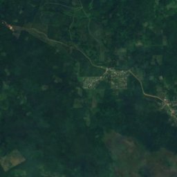
Uydu: Sentinel-2 cloudless 2016, EOX IT Services GmbH · CC BY 4.0 · Değiştirilmiş Copernicus Sentinel verileri içerir (2016)
Swasey Stopper Fall
San Pablo, Toledo District
215 m
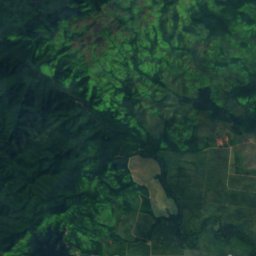
Uydu: Sentinel-2 cloudless 2016, EOX IT Services GmbH · CC BY 4.0 · Değiştirilmiş Copernicus Sentinel verileri içerir (2016)
Bull Reef Falls
Santa Cruz, Southern District
84 m
Uydu: Sentinel-2 cloudless 2016, EOX IT Services GmbH · CC BY 4.0 · Değiştirilmiş Copernicus Sentinel verileri içerir (2016)
Double Fall
San Pablo, Toledo District
163 m
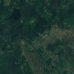
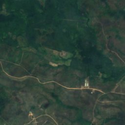
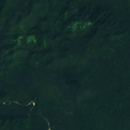
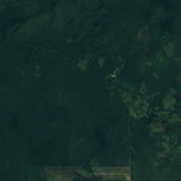
Uydu: Sentinel-2 cloudless 2016, EOX IT Services GmbH · CC BY 4.0 · Değiştirilmiş Copernicus Sentinel verileri içerir (2016)
First Fall
San Pablo, Toledo District
53 m
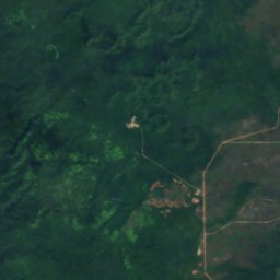
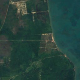
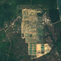
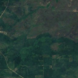
Uydu: Sentinel-2 cloudless 2016, EOX IT Services GmbH · CC BY 4.0 · Değiştirilmiş Copernicus Sentinel verileri içerir (2016)
Hell Gate Falls
Pomona, Southern District
337 m
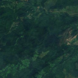
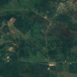
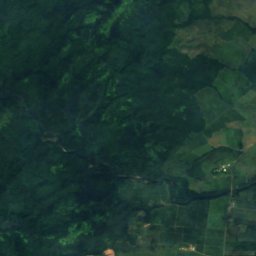
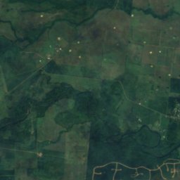
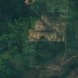
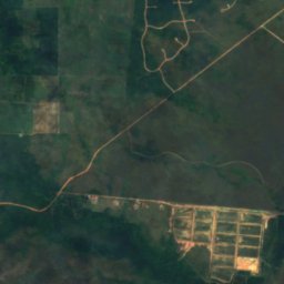
Uydu: Sentinel-2 cloudless 2016, EOX IT Services GmbH · CC BY 4.0 · Değiştirilmiş Copernicus Sentinel verileri içerir (2016)
Hellgate Run
Silk Grass, Southern District
44 m
Tam liste: 20 şelale
- Bull Reef Falls
- Cataratas Big Rock
- Cataratas Mil Pies
- Davis Falls
- Double Fall
- First Fall
- Hell Gate Falls
- Hellgate Run
- La Clarissa Fall
- Laguna Azul Falls
- Little Fall
- Meditation Falls
- Meditation Rapids
- Monkey Fall
- Paslow Fall, Bullet Tree Falls
- Paslow Fall, More Tomorrow
- San Antonio Falls
- Sapote Fall
- Swasey Stopper Fall
- The Pitcher
Millî parklar
Belize'nin millî parklar


Fotoğraf: Haakon S. Krohn · CC BY-SA 3.0 · Wikimedia CommonsBu fotoğrafı bildir · bağlantı verilir, saklanmaz
Parque nacional Blue Hole
Armenia, Cayo District
3 km²

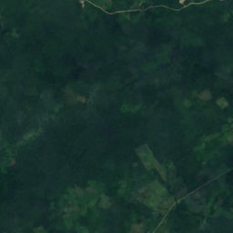
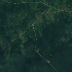
Uydu: Sentinel-2 cloudless 2016, EOX IT Services GmbH · CC BY 4.0 · Değiştirilmiş Copernicus Sentinel verileri içerir (2016)
Parque nacional Sarstoon Temash
Aguacate, Toledo District
169 km²
Uydu: Sentinel-2 cloudless 2016, EOX IT Services GmbH · CC BY 4.0 · Değiştirilmiş Copernicus Sentinel verileri içerir (2016)
Parque nacional de Payne's Creek
Bella Vista, Toledo District
147 km²
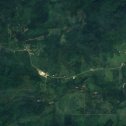
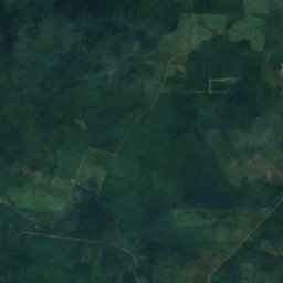
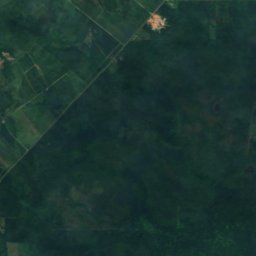
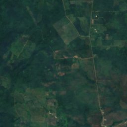
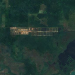
Uydu: Sentinel-2 cloudless 2016, EOX IT Services GmbH · CC BY 4.0 · Değiştirilmiş Copernicus Sentinel verileri içerir (2016)
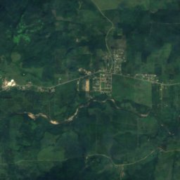
Mayflower Bocawina National Park
Silk Grass, Southern District
29 km²
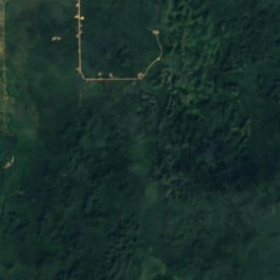
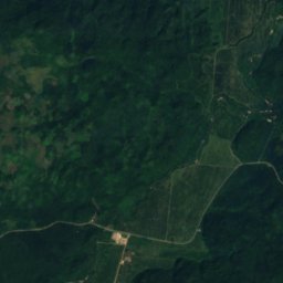
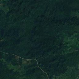
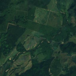
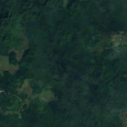
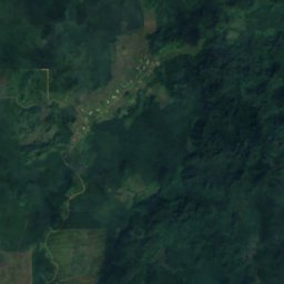
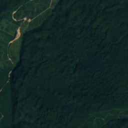
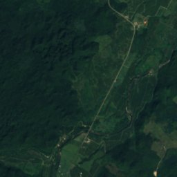
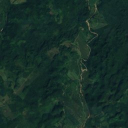
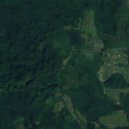
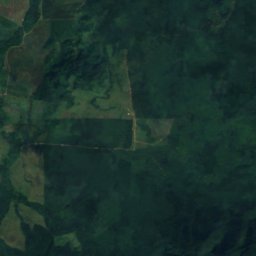
Uydu: Sentinel-2 cloudless 2016, EOX IT Services GmbH · CC BY 4.0 · Değiştirilmiş Copernicus Sentinel verileri içerir (2016)
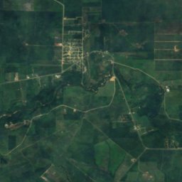
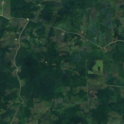
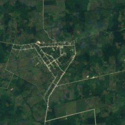
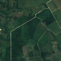
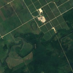
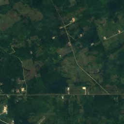
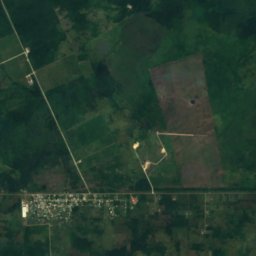
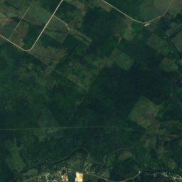
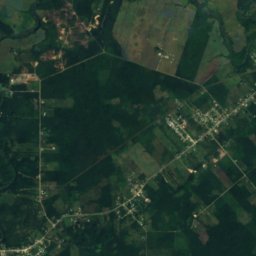
Parque nacional de los Cinco Lagos Azules
St. Margaret, Cayo District
17 km²
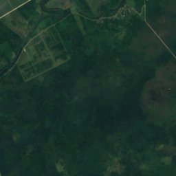
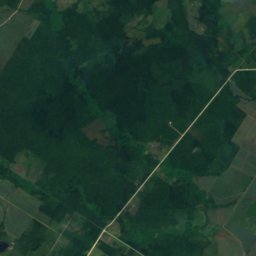
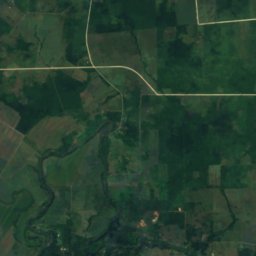
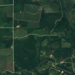
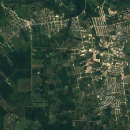
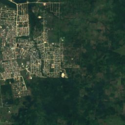
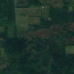
Uydu: Sentinel-2 cloudless 2016, EOX IT Services GmbH · CC BY 4.0 · Değiştirilmiş Copernicus Sentinel verileri içerir (2016)
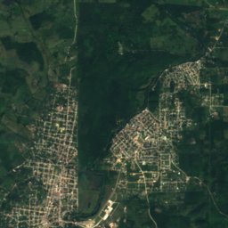
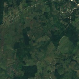
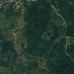
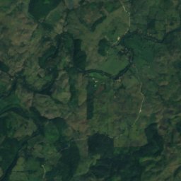
Parque nacional Guanacaste
Roaring Creek, Cayo District
0 km²
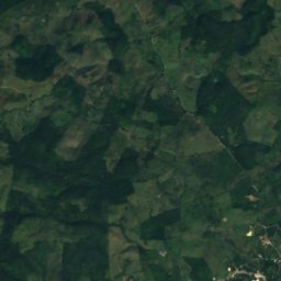
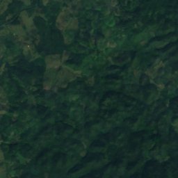
Uydu: Sentinel-2 cloudless 2016, EOX IT Services GmbH · CC BY 4.0 · Değiştirilmiş Copernicus Sentinel verileri içerir (2016)
Elijio Panti National Park
San Antonio, Cayo District
Tam liste: 11 millî park
- Bacalar Chico National Park
- Elijio Panti National Park
- Laughing Bird Caye National Park
- Mayflower Bocawina National Park
- Parque nacional Billy Barquedier
- Parque nacional Blue Hole
- Parque nacional de los Cinco Lagos Azules
- Parque nacional de Payne's Creek
- Parque nacional Guanacaste
- Parque nacional Sarstoon Temash
- Peccary Hills National Park
Plajlar
Belize'nin plajlar
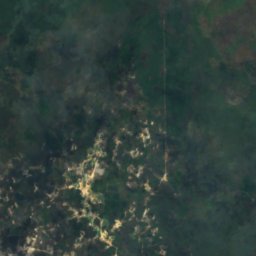
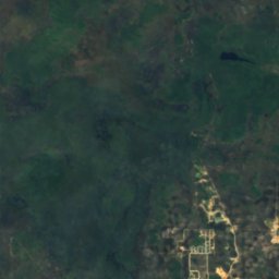
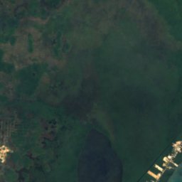
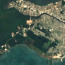
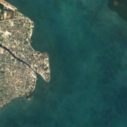
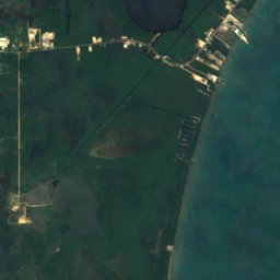

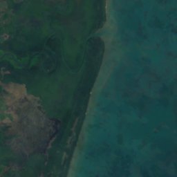


Uydu: Sentinel-2 cloudless 2016, EOX IT Services GmbH · CC BY 4.0 · Değiştirilmiş Copernicus Sentinel verileri içerir (2016)
Sibun Beach
Western Paradise, Belize District
Adalar
Belize'nin adalar

Fotoğraf: Deceased parent of Infrogmation. Please credit "Family photos of Infrogmation". · CC BY-SA 4.0 · Wikimedia CommonsBu fotoğrafı bildir · bağlantı verilir, saklanmaz
Ambergris Caye
San Pedro Town, Belize District

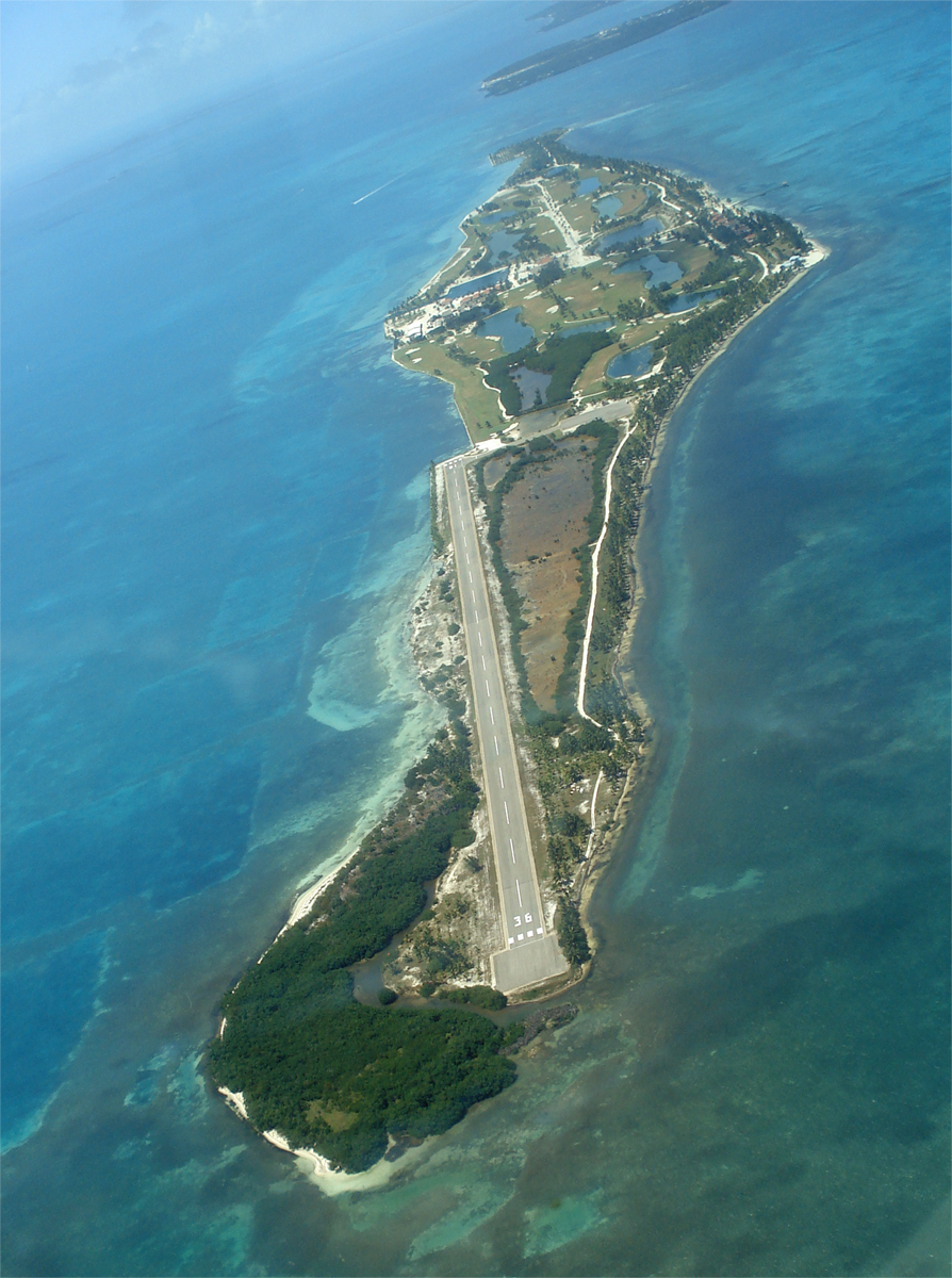
Fotoğraf: Emerald Photos (greenjinjo) · CC BY-SA 3.0 · Wikimedia CommonsBu fotoğrafı bildir · bağlantı verilir, saklanmaz
Cayo Chapel
Caye Caulker, Belize District
5 m

Fotoğraf: Kent Wang · CC BY-SA 2.0 · Wikimedia CommonsBu fotoğrafı bildir · bağlantı verilir, saklanmaz
Cayo San Jorge
Belize City, Belize District


Fotoğraf: Napnet at English Wikipedia · Public domain · Wikimedia CommonsBu fotoğrafı bildir · bağlantı verilir, saklanmaz
Cayo Goff
Belize City, Belize District

Fotoğraf: Mike's Birds from Riverside, CA, US · CC BY-SA 2.0 · Wikimedia CommonsBu fotoğrafı bildir · bağlantı verilir, saklanmaz
Cayo Espanto
San Pedro Town, Belize District

Fotoğraf: Lucas EDVK · CC BY-SA 4.0 · Wikimedia CommonsBu fotoğrafı bildir · bağlantı verilir, saklanmaz
Harvest Caye
Placencia, Southern District
Tam liste: 145 ada
- Albion Island
- Alligator Cay
- Ambergris Caye
- Bakers Rendezvous
- Barrier Reef
- Bird Cay
- Birds Island
- Bread and Butter Cay
- Bulkhead Reef
- Buzzard Shoals
- Cangrejo Cay
- Carrie Bow Cay
- Cary Cay
- Cat Cay
- Cataract Cay
- Cayo Cazón
- Cayo Chapel
- Cayo Corker
- Cayo Espanto
- Cayo Frances
- Cayo Goff
- Cayo Iguano
- Cayo Laughing Bird
- Cayo Moho
- Cayo Romero
- Cayo Rosario
- Cayo San Jorge
- Cayo Tabaco
- Cayo Tostado
- Channel Cay
- Clarke Cay
- Coco Plum Cay
- Coffee Cay
- Cohune Cay
- Colson Cay
- Columbus Cay
- Columbus Reef
- Crawl Cay, Southern District
- Crayfish Cay
- Crocker Sand Bore
- Cross Cay, Southern District
- Crow's Nest Cay
- Curlew Cay, Belize District
- Curlew Cay, Southern District
- Deer Cay
- Dula Cay
- Ellen Cay
- English Cay
- Falle Cay
- False Cay
- Frank Knoll
- Frenchman's Cay, Belize District
- Frenchman's Cay, Toledo District
- Gallows Point Reef
- Garbutt's Cay
- Glory Cay
- Great Monkey Cay
- Harvest Cay
- Harvest Caye
- Hutson Cay
- Iguana Cay
- Isla Bird
- Isla Royal Belize
- Lark Cay
- Last Chance Cay
- Little Monkey Cay
- Little Peter Cay
- Little Water Cay
- Long Cay, Belize City
- Long Cay, Caye Caulker
- Long Coco Cay
- Man of War Cay, Corozal District
- Man of War Cay, Southern District
- Manatee Bar
- Mapp's Cay
- Maria Bank
- Marlowe Cay
- Mexico Rocks
- Middle Snake Cay
- Moho Cay, Southern District
- Moho Cay, Toledo District
- Monkey Shoal
- Montego Cay
- Mosquito Cay, Belize District
- Mosquito Cay, Southern District
- Mullins Bar
- Mutine Shoal
- Negro Head
- Northeast Cay, Southern District
- Northeast Spit
- Norval Cay
- Oyster Banks
- Palmetto Cay
- Pantile Heads
- Paunch Cay Spit
- Penguin Shoals
- Peter Douglas Cay
- Piedras de Mato
- Placentia Cay
- Potts Shoal
- Quamina Cay
- Ragged Cay, Southern District
- Rambler Shoals
- Rendezvous Cay, Southern District
- Rock Cay
- Round Cay, Southern District
- Saddle Cay, Southern District
- Savannah Cay
- Scipio Cay
- Shag Cay
- Shark Ray Alley
- Shipstern Cay
- Sibun Bar
- Sickle Cay
- Silk Cayes
- Simmonds Cay
- Sittee Island
- Slasher Sand Bore
- Small Cay, Bella Vista
- Small Cay, Punta Gorda
- Sophia Rocks
- South Snake Cay
- South Water Caye
- Southern Long Cay
- Spanish Cay
- Spanish Cay Spit
- Spruce Cay
- Stewart Cay
- Stuart Cay
- Tarpum Cay
- Thatch Caye
- The Cay
- The Sandbore
- The Spit
- Tobacco Reef
- Twelve Feet Bank
- Water Cay Spit
- Wee Wee Cay
- West Snake Cay
- White Grounds Spit
- White Rock
- Wild Cane Cay
- Wilson Cay
- Wippari Cay
- Youngs Cay
Mağaralar
Belize'nin mağaralar

Fotoğraf: Peter Andersen · CC BY-SA 3.0 · Wikimedia CommonsBu fotoğrafı bildir · bağlantı verilir, saklanmaz
Actun Tunichil Muknal
Ontario Village, Cayo District

Fotoğraf: Tom Eppenberger Jr. · CC BY 2.0 · Wikimedia CommonsBu fotoğrafı bildir · bağlantı verilir, saklanmaz
Barton Creek Mağarası
San Antonio, Cayo District

Fotoğraf: Thomas Shahan · CC BY 2.0 · Wikimedia CommonsBu fotoğrafı bildir · bağlantı verilir, saklanmaz
Che Chem Ha Cave
San Antonio, Cayo District
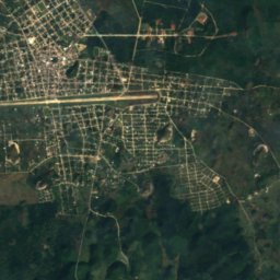
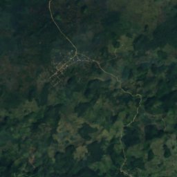
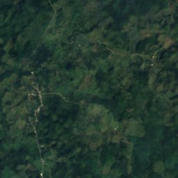
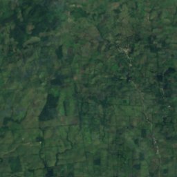
Uydu: Sentinel-2 cloudless 2016, EOX IT Services GmbH · CC BY 4.0 · Değiştirilmiş Copernicus Sentinel verileri içerir (2016)
Naj Tunich
Aguacate, Toledo District
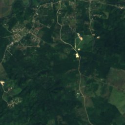
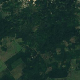
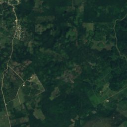
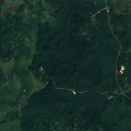
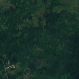
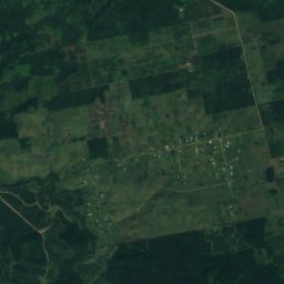
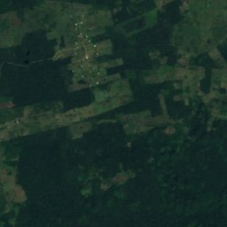
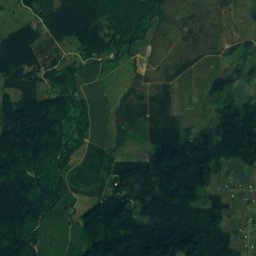
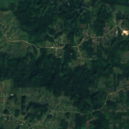
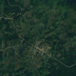
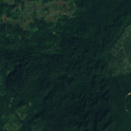
Uydu: Sentinel-2 cloudless 2016, EOX IT Services GmbH · CC BY 4.0 · Değiştirilmiş Copernicus Sentinel verileri içerir (2016)
Midnight Terror Mağarası
Armenia, Cayo District
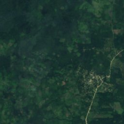
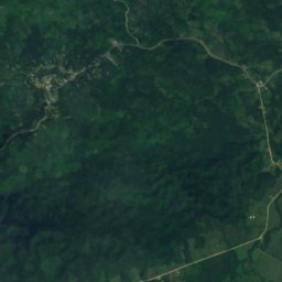
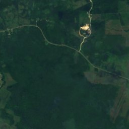
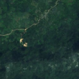
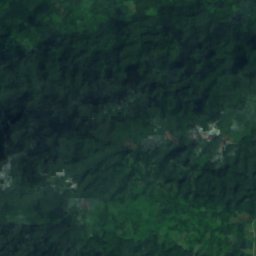
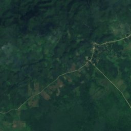
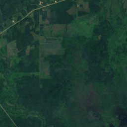
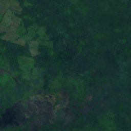
Uydu: Sentinel-2 cloudless 2016, EOX IT Services GmbH · CC BY 4.0 · Değiştirilmiş Copernicus Sentinel verileri içerir (2016)
Rio Blanco Cave
Blue Creek Village, Toledo District
253 m
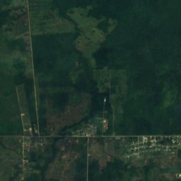
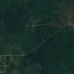
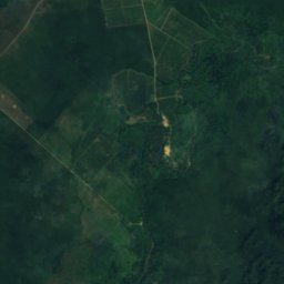
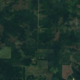
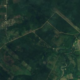
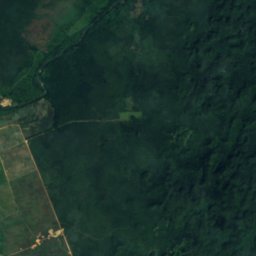
Uydu: Sentinel-2 cloudless 2016, EOX IT Services GmbH · CC BY 4.0 · Değiştirilmiş Copernicus Sentinel verileri içerir (2016)
Nohoch Che'en
St. Matthew’s, Cayo District
Uydu: Sentinel-2 cloudless 2016, EOX IT Services GmbH · CC BY 4.0 · Değiştirilmiş Copernicus Sentinel verileri içerir (2016)
Black Hole Drop
Armenia, Cayo District
232 m
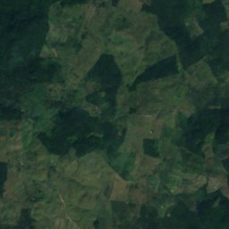
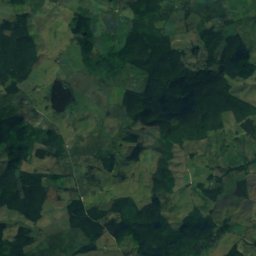
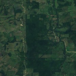
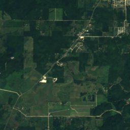
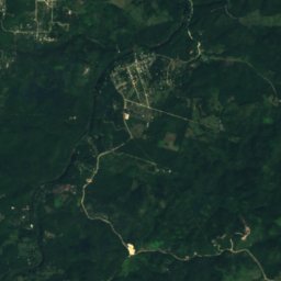
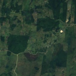
Uydu: Sentinel-2 cloudless 2016, EOX IT Services GmbH · CC BY 4.0 · Değiştirilmiş Copernicus Sentinel verileri içerir (2016)
Che Chem Ha
Benque Viejo del Carmen, Cayo District
Nehirler
Belize'nin nehirler

Fotoğraf: 1000Faces at en.wikipedia · Public domain · Wikimedia CommonsBu fotoğrafı bildir · bağlantı verilir, saklanmaz
Río Belice
Santa Familia, Cayo District
9 m


Fotoğraf: Esoteric Vision Photography · CC BY 4.0 · Wikimedia CommonsBu fotoğrafı bildir · bağlantı verilir, saklanmaz

Río Mopán
Benque Viejo del Carmen, Cayo District

Fotoğraf: Wasquewhat · CC BY-SA 3.0 · Wikimedia CommonsBu fotoğrafı bildir · bağlantı verilir, saklanmaz

Río Nuevo
More Tomorrow, Cayo District

Fotoğraf: vår resa · CC BY-SA 2.0 · Wikimedia CommonsBu fotoğrafı bildir · bağlantı verilir, saklanmaz

Río Moho
Aguacate, Toledo District
1 m

Fotoğraf: Battichica · CC BY-SA 3.0 · Wikimedia CommonsBu fotoğrafı bildir · bağlantı verilir, saklanmaz

Río Sibun
Western Paradise, Belize District
6 m

Fotoğraf: C. Michael Hogan · CC BY-SA 2.5 · Wikimedia CommonsBu fotoğrafı bildir · bağlantı verilir, saklanmaz

Río de los Monos
Bella Vista, Toledo District

Fotoğraf: Unknown author · CC BY-SA 2.5 · Wikimedia CommonsBu fotoğrafı bildir · bağlantı verilir, saklanmaz

South Stann Creek
Santa Cruz, Southern District
6 m
Fotoğraf: Tom Eppenberger Jr. · CC BY 2.0 · Wikimedia CommonsBu fotoğrafı bildir · bağlantı verilir, saklanmaz
Barton Creek
Spanish Lookout, Cayo District
65 m