自然
ベリーズの水辺、氷河、原野
湖、滝、氷河、国立公園、山小屋。それぞれの場所、規模、周辺の天気を掲載。
湖50か所(個別ページあり)
滝20か所(個別ページあり)
国立公園11か所(個別ページあり)
ビーチ1か所(個別ページあり)

湖
ベリーズの湖

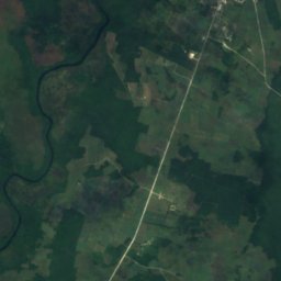
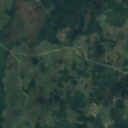
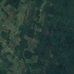
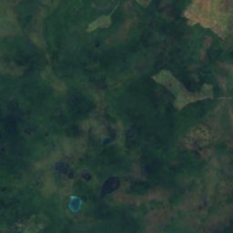
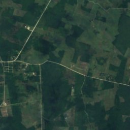
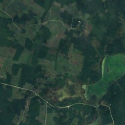
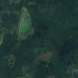
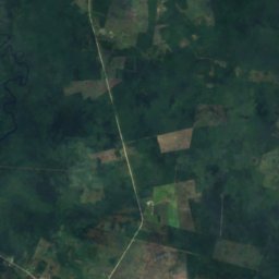
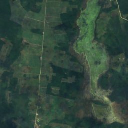
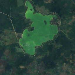
衛星: Sentinel-2 cloudless 2016(EOX IT Services GmbH) · CC BY 4.0 · 改変したCopernicus Sentinelデータ(2016年)を含みます
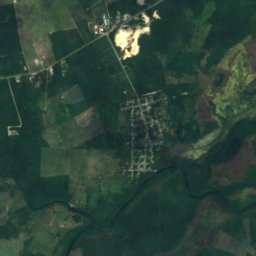
Honey Camp Lagoon
San Jose Palmar, Orange Walk District
3.6 km²
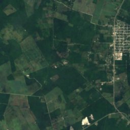
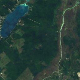
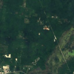
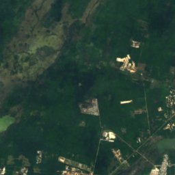
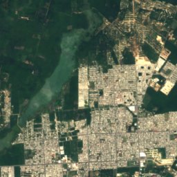
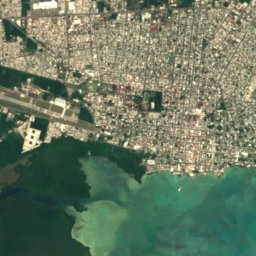
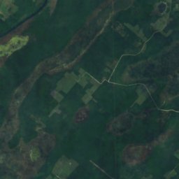
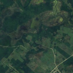
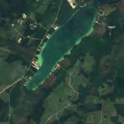
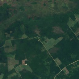
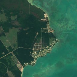
衛星: Sentinel-2 cloudless 2016(EOX IT Services GmbH) · CC BY 4.0 · 改変したCopernicus Sentinelデータ(2016年)を含みます
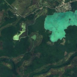
Four Mile Lagoon, Río Hondo
Chan Chen, Corozal District
2.7 km²
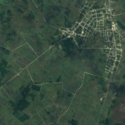
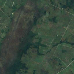
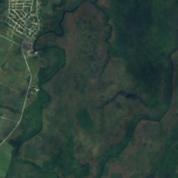
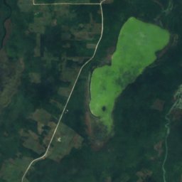
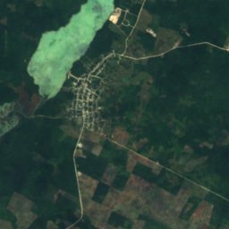
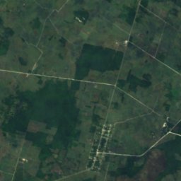
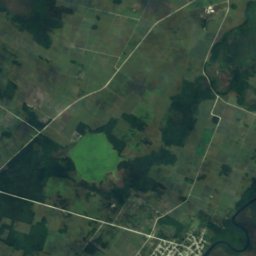
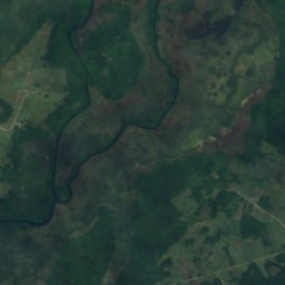
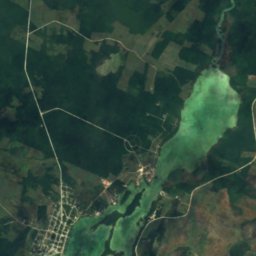
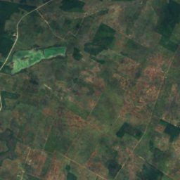
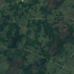
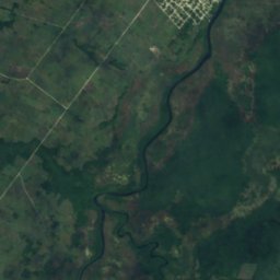
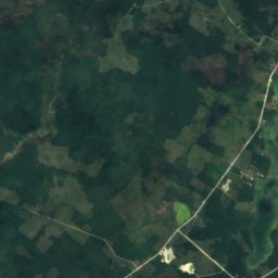
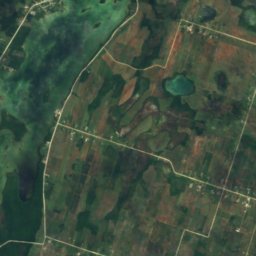
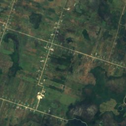
衛星: Sentinel-2 cloudless 2016(EOX IT Services GmbH) · CC BY 4.0 · 改変したCopernicus Sentinelデータ(2016年)を含みます
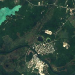
Progresso Lagoon
Progresso, Corozal District
6.4 km²
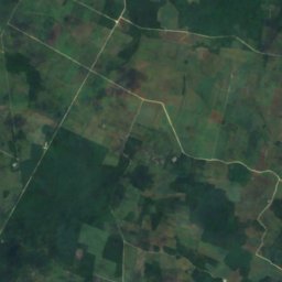
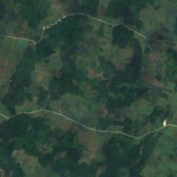
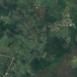
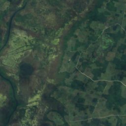
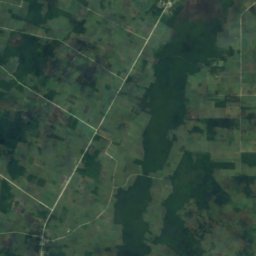
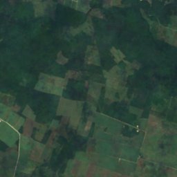
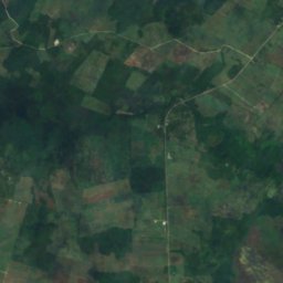
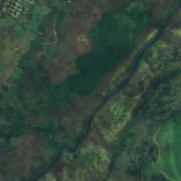
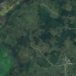
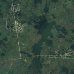
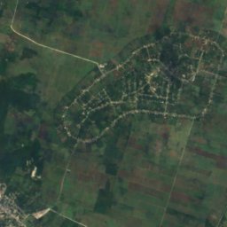
衛星: Sentinel-2 cloudless 2016(EOX IT Services GmbH) · CC BY 4.0 · 改変したCopernicus Sentinelデータ(2016年)を含みます
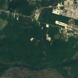
Sapote Lagoon
San Narciso, Corozal District
2.5 km²
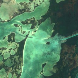
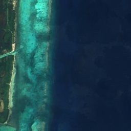

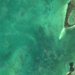
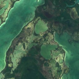
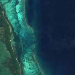

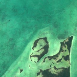
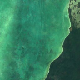
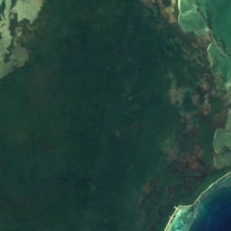
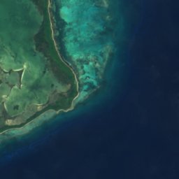

衛星: Sentinel-2 cloudless 2016(EOX IT Services GmbH) · CC BY 4.0 · 改変したCopernicus Sentinelデータ(2016年)を含みます
Laguna de Cantena
San Pedro Town, Belize District
7.1 km²
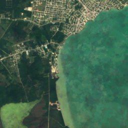
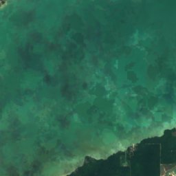
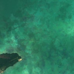
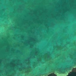
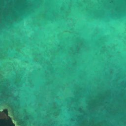
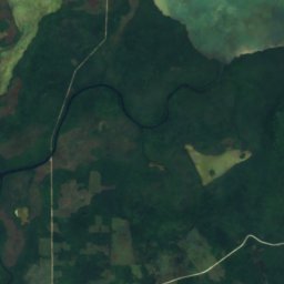
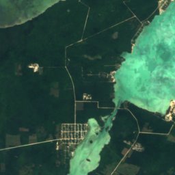
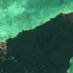
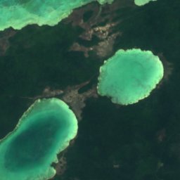
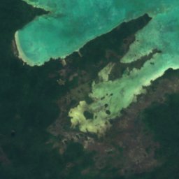
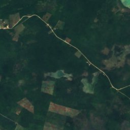
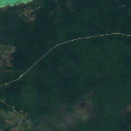
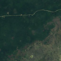
衛星: Sentinel-2 cloudless 2016(EOX IT Services GmbH) · CC BY 4.0 · 改変したCopernicus Sentinelデータ(2016年)を含みます
Barracouta Pond
Copper Bank, Corozal District
3.2 km²

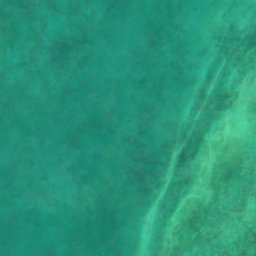
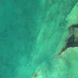
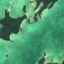
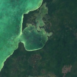
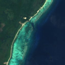
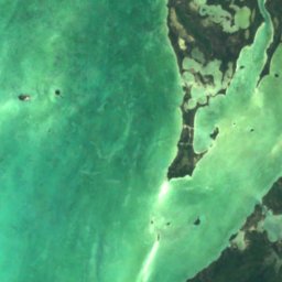
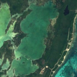
衛星: Sentinel-2 cloudless 2016(EOX IT Services GmbH) · CC BY 4.0 · 改変したCopernicus Sentinelデータ(2016年)を含みます
Laguna de Cayo Frances
San Pedro Town, Belize District
6.2 km²
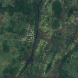
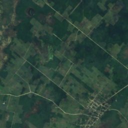
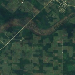
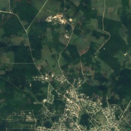
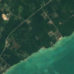
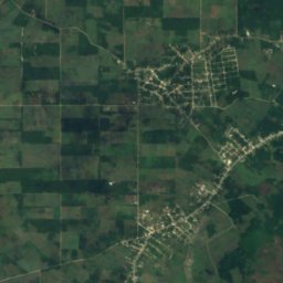
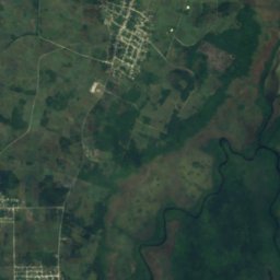
衛星: Sentinel-2 cloudless 2016(EOX IT Services GmbH) · CC BY 4.0 · 改変したCopernicus Sentinelデータ(2016年)を含みます
Four Mile Lagoon
Calcutta, Corozal District
1.5 km²
全リスト:湖50か所
- Aguacate Lagoon
- Almond Hill Lagoon
- Barracouta Pond
- Black Creek Lagoon
- Bulkhead Lagoon
- Button Lagoon
- Buttonwood Lagoon
- Carta Blanca Lagoon
- Cenote Lagoon
- Chan Laguna
- Chiwa Lagoon
- Commerce Bight Lagoon
- Cox Lagoon
- Crabcatcher Lagoon
- Crique Blanco Zibal
- Cudjoe Lagoon
- Dolly Creek Lagoon
- Doubloon Bank Lagoon
- Five Blues Lake
- Four Mile Lagoon
- Four Mile Lagoon, Río Hondo
- Freshwater Creek Lagoon
- Honey Camp Lagoon
- Indian Hill Lagoon
- Laguna de Boca Ciega
- Laguna de Cantena
- Laguna de Cayo Frances
- Laguna de Mato
- Locust Hill Pond
- Mafredi Lagoon
- Midwinters Lagoon
- Mucklehany Lagoon
- Northern River Lagoon
- Peppercamp Lagoon
- Placentia Lagoon
- Potts Creek Lagoon
- Progresso Lagoon
- Punta Ycacos Lagoon
- Quashie Trap Lagoon
- Ridge Lagoon
- Rocky Point Lagoon
- Saltillo Lagoon
- Santa Cruz Lagoon
- Sapodilla Lagoon
- Sapote Lagoon
- Straight Lagoon
- Tooths Lagoon
- Wagner Lagoon
- Will Edwards Lagoon
- Yarborough Lagoon
滝
ベリーズの滝
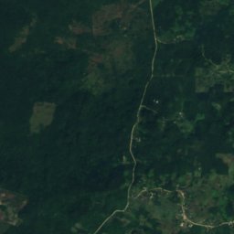
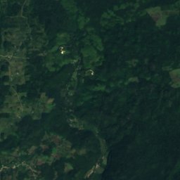
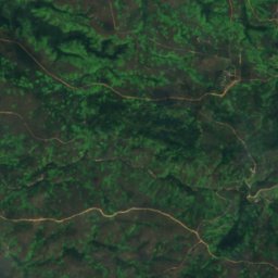
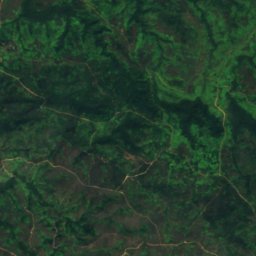
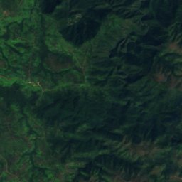
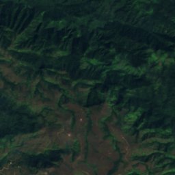
衛星: Sentinel-2 cloudless 2016(EOX IT Services GmbH) · CC BY 4.0 · 改変したCopernicus Sentinelデータ(2016年)を含みます
Thousand Foot Falls
Armenia, Cayo District
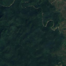
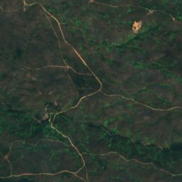
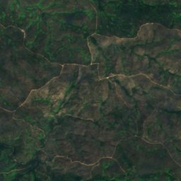
衛星: Sentinel-2 cloudless 2016(EOX IT Services GmbH) · CC BY 4.0 · 改変したCopernicus Sentinelデータ(2016年)を含みます
Big Rock Falls
San Antonio, Cayo District
衛星: Sentinel-2 cloudless 2016(EOX IT Services GmbH) · CC BY 4.0 · 改変したCopernicus Sentinelデータ(2016年)を含みます
Davis Falls
Pomona, Southern District
254 m
衛星: Sentinel-2 cloudless 2016(EOX IT Services GmbH) · CC BY 4.0 · 改変したCopernicus Sentinelデータ(2016年)を含みます
Swasey Stopper Fall
San Pablo, Toledo District
215 m
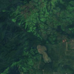
衛星: Sentinel-2 cloudless 2016(EOX IT Services GmbH) · CC BY 4.0 · 改変したCopernicus Sentinelデータ(2016年)を含みます
Bull Reef Falls
Santa Cruz, Southern District
84 m
衛星: Sentinel-2 cloudless 2016(EOX IT Services GmbH) · CC BY 4.0 · 改変したCopernicus Sentinelデータ(2016年)を含みます
Double Fall
San Pablo, Toledo District
163 m
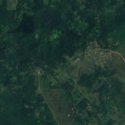
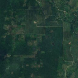
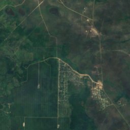
衛星: Sentinel-2 cloudless 2016(EOX IT Services GmbH) · CC BY 4.0 · 改変したCopernicus Sentinelデータ(2016年)を含みます
First Fall
San Pablo, Toledo District
53 m
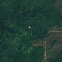
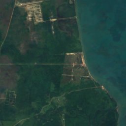
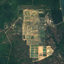
衛星: Sentinel-2 cloudless 2016(EOX IT Services GmbH) · CC BY 4.0 · 改変したCopernicus Sentinelデータ(2016年)を含みます
Hell Gate Falls
Pomona, Southern District
337 m
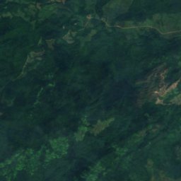
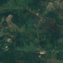
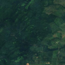
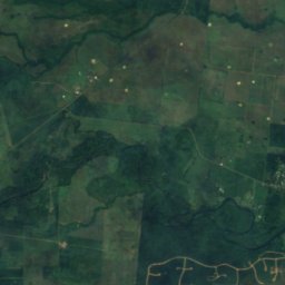
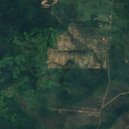
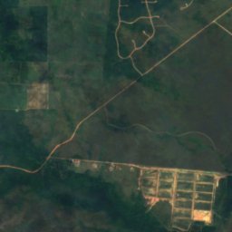
衛星: Sentinel-2 cloudless 2016(EOX IT Services GmbH) · CC BY 4.0 · 改変したCopernicus Sentinelデータ(2016年)を含みます
Hellgate Run
Silk Grass, Southern District
44 m
全リスト:滝20か所
- Big Rock Falls
- Bull Reef Falls
- Davis Falls
- Double Fall
- First Fall
- Hell Gate Falls
- Hellgate Run
- La Clarissa Fall
- Laguna Azul Falls
- Little Fall
- Meditation Falls
- Meditation Rapids
- Monkey Fall
- Paslow Fall, Bullet Tree Falls
- Paslow Fall, More Tomorrow
- San Antonio Falls
- Sapote Fall
- Swasey Stopper Fall
- The Pitcher
- Thousand Foot Falls
国立公園
ベリーズの国立公園


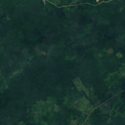
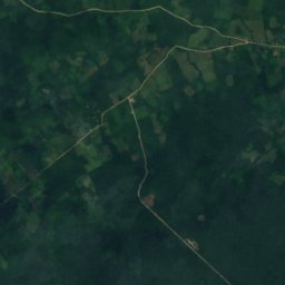
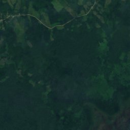
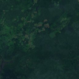
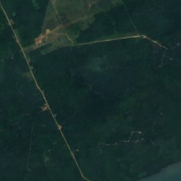
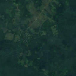
衛星: Sentinel-2 cloudless 2016(EOX IT Services GmbH) · CC BY 4.0 · 改変したCopernicus Sentinelデータ(2016年)を含みます
Sarstoon-Temash National Park
Aguacate, Toledo District
169 km²
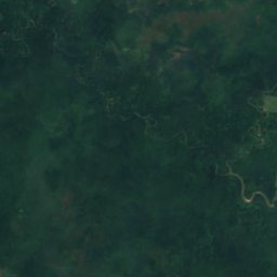
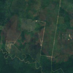
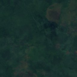
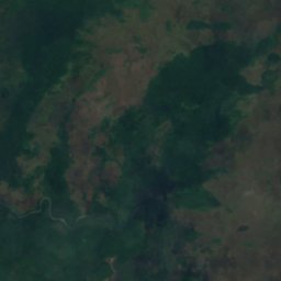
衛星: Sentinel-2 cloudless 2016(EOX IT Services GmbH) · CC BY 4.0 · 改変したCopernicus Sentinelデータ(2016年)を含みます
Payne's Creek National Park
Bella Vista, Toledo District
147 km²
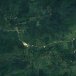
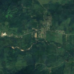
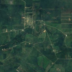
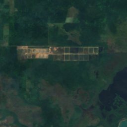
衛星: Sentinel-2 cloudless 2016(EOX IT Services GmbH) · CC BY 4.0 · 改変したCopernicus Sentinelデータ(2016年)を含みます
Mayflower Bocawina National Park
Silk Grass, Southern District
29 km²
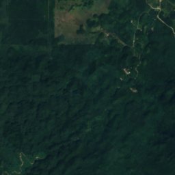
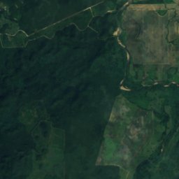
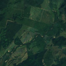
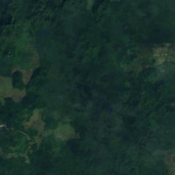
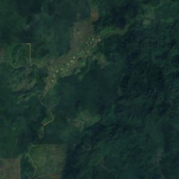
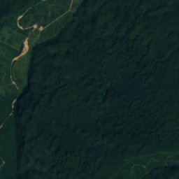
衛星: Sentinel-2 cloudless 2016(EOX IT Services GmbH) · CC BY 4.0 · 改変したCopernicus Sentinelデータ(2016年)を含みます
Five Blues Lake National Park
St. Margaret, Cayo District
17 km²
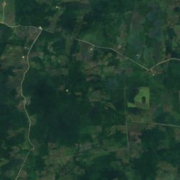
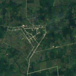
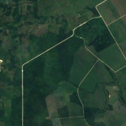
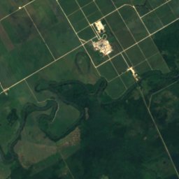
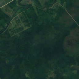
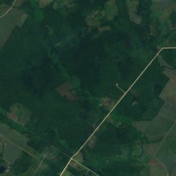
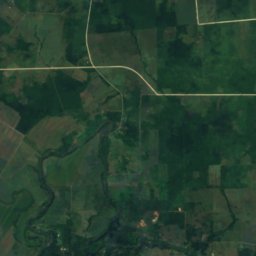
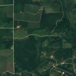
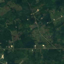
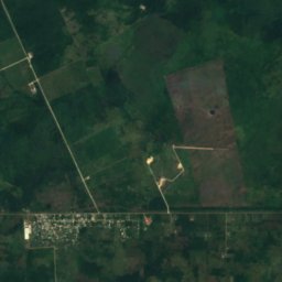
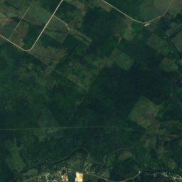
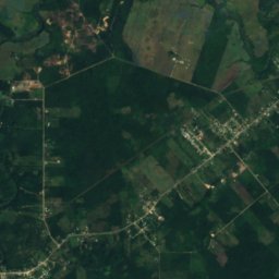
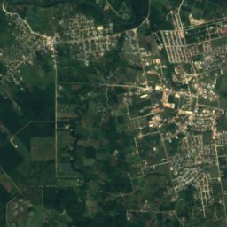
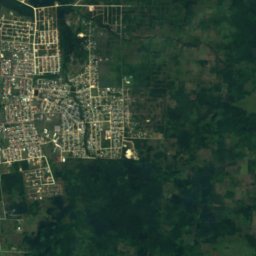
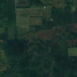
衛星: Sentinel-2 cloudless 2016(EOX IT Services GmbH) · CC BY 4.0 · 改変したCopernicus Sentinelデータ(2016年)を含みます
Guanacaste National Park
Roaring Creek, Cayo District
0 km²
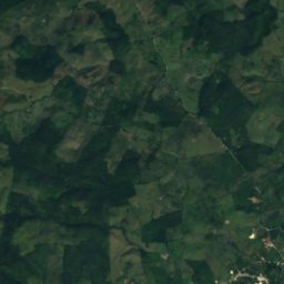
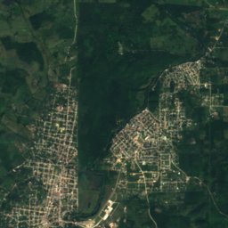
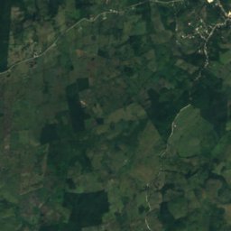
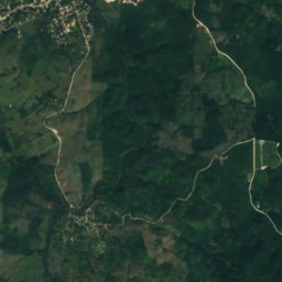
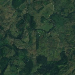
衛星: Sentinel-2 cloudless 2016(EOX IT Services GmbH) · CC BY 4.0 · 改変したCopernicus Sentinelデータ(2016年)を含みます
Elijio Panti National Park
San Antonio, Cayo District
全リスト:国立公園11か所
- Bacalar Chico National Park
- Billy Barquedier National Park
- Elijio Panti National Park
- Five Blues Lake National Park
- Guanacaste National Park
- Laughing Bird Caye National Park
- Mayflower Bocawina National Park
- Payne's Creek National Park
- Peccary Hills National Park
- Sarstoon-Temash National Park
- St. Herman's Blue Hole National Park
ビーチ
ベリーズのビーチ
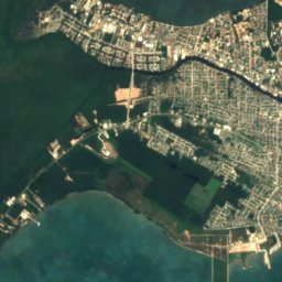
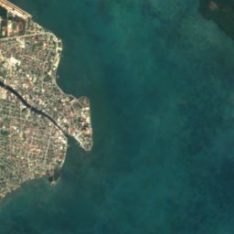
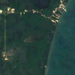

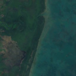


衛星: Sentinel-2 cloudless 2016(EOX IT Services GmbH) · CC BY 4.0 · 改変したCopernicus Sentinelデータ(2016年)を含みます
Sibun Beach
Western Paradise, Belize District
島
ベリーズの島

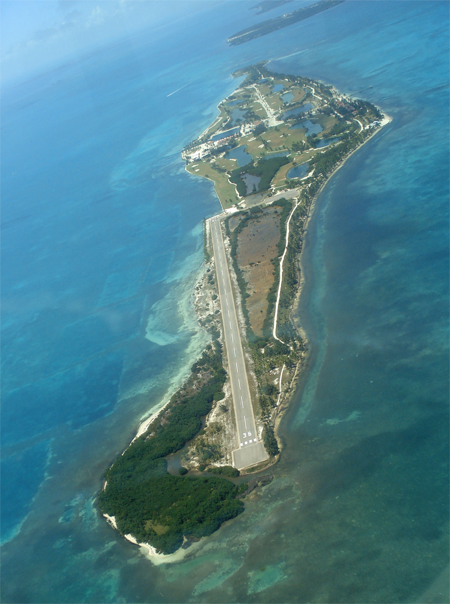
写真: Deceased parent of Infrogmation. Please credit "Family photos of Infrogmation". · CC BY-SA 4.0 · Wikimedia Commonsこの写真を報告 · リンクのみ、保存なし
アンバーグリス・キー
San Pedro Town, Belize District



全リスト:島145か所
- Albion Island
- Alligator Cay
- Bakers Rendezvous
- Barrier Reef
- Bird Cay
- Bird Island
- Birds Island
- Bread and Butter Cay
- Bulkhead Reef
- Buzzard Shoals
- Cangrejo Cay
- Carrie Bow Cay
- Cary Cay
- Cat Cay
- Cataract Cay
- Cayo Cazón
- Cayo Espanto
- Cayo Frances
- Cayo Iguano
- Cayo Romero
- Cayo Rosario
- Cayo Tostado
- Channel Cay
- Clarke Cay
- Coco Plum Cay
- Coffee Cay
- Cohune Cay
- Colson Cay
- Columbus Cay
- Columbus Reef
- Crawl Cay, Southern District
- Crayfish Cay
- Crocker Sand Bore
- Cross Cay, Southern District
- Crow's Nest Cay
- Curlew Cay, Belize District
- Curlew Cay, Southern District
- Deer Cay
- Dula Cay
- Ellen Cay
- English Cay
- Falle Cay
- False Cay
- Frank Knoll
- Frenchman's Cay, Belize District
- Frenchman's Cay, Toledo District
- Gallows Point Reef
- Garbutt's Cay
- Glory Cay
- Great Monkey Cay
- Harvest Cay
- Harvest Caye
- Hutson Cay
- Iguana Cay
- Lark Cay
- Last Chance Cay
- Laughing Bird Caye
- Little Monkey Cay
- Little Peter Cay
- Little Water Cay
- Long Cay, Belize City
- Long Cay、キーカーカー
- Long Coco Cay
- Man of War Cay, Corozal District
- Man of War Cay, Southern District
- Manatee Bar
- Mapp's Cay
- Maria Bank
- Marlowe Cay
- Mexico Rocks
- Middle Snake Cay
- Moho Cay, Southern District
- Moho Cay, Toledo District
- Moho Caye
- Monkey Shoal
- Montego Cay
- Mosquito Cay, Belize District
- Mosquito Cay, Southern District
- Mullins Bar
- Mutine Shoal
- Negro Head
- Northeast Cay, Southern District
- Northeast Spit
- Norval Cay
- Oyster Banks
- Palmetto Cay
- Pantile Heads
- Paunch Cay Spit
- Penguin Shoals
- Peter Douglas Cay
- Piedras de Mato
- Placentia Cay
- Potts Shoal
- Quamina Cay
- Ragged Cay, Southern District
- Rambler Shoals
- Rendezvous Cay, Southern District
- Rock Cay
- Round Cay, Southern District
- Royal Belize
- Saddle Cay, Southern District
- Savannah Cay
- Scipio Cay
- Shag Cay
- Shark Ray Alley
- Shipstern Cay
- Sibun Bar
- Sickle Cay
- Silk Cayes
- Simmonds Cay
- Sittee Island
- Slasher Sand Bore
- Small Cay, Bella Vista
- Small Cay, Punta Gorda
- Sophia Rocks
- South Snake Cay
- South Water Caye
- Southern Long Cay
- Spanish Cay
- Spanish Cay Spit
- Spruce Cay
- Stewart Cay
- Stuart Cay
- Tarpum Cay
- Thatch Caye
- The Cay
- The Sandbore
- The Spit
- Tobacco Caye
- Tobacco Reef
- Twelve Feet Bank
- Water Cay Spit
- Wee Wee Cay
- West Snake Cay
- White Grounds Spit
- White Rock
- Wild Cane Cay
- Wilson Cay
- Wippari Cay
- Youngs Cay
- アンバーグリス・キー
- キーカーカー
- ケイ・チャペル
- ゴフ島
- 聖ジョージ島
洞窟
ベリーズの洞窟


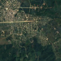
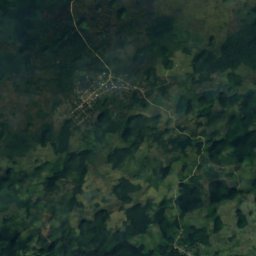
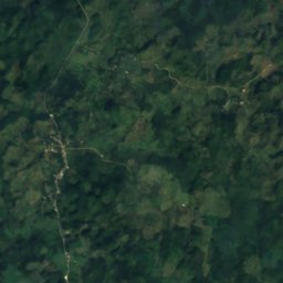
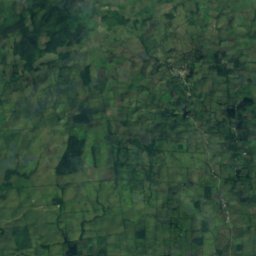
衛星: Sentinel-2 cloudless 2016(EOX IT Services GmbH) · CC BY 4.0 · 改変したCopernicus Sentinelデータ(2016年)を含みます
ナフ・トゥニッチ
Aguacate, Toledo District
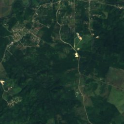
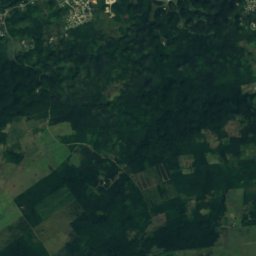
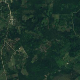
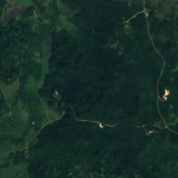
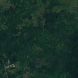
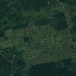
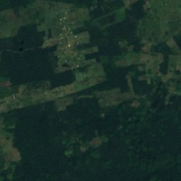
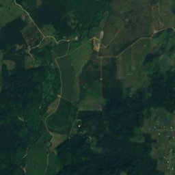
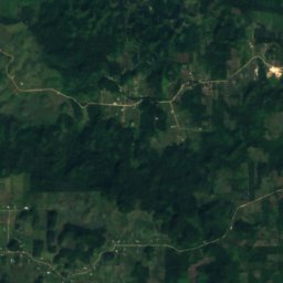
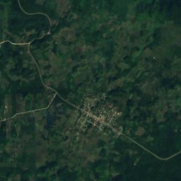
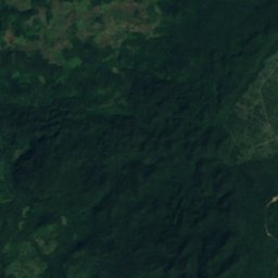
衛星: Sentinel-2 cloudless 2016(EOX IT Services GmbH) · CC BY 4.0 · 改変したCopernicus Sentinelデータ(2016年)を含みます
Midnight Terror Cave
Armenia, Cayo District
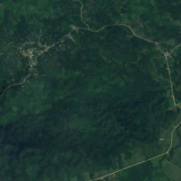
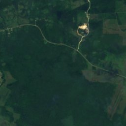
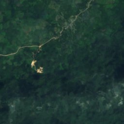
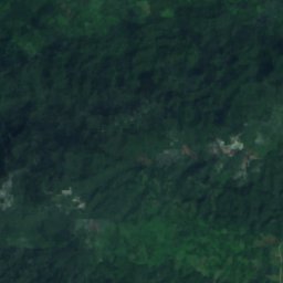
衛星: Sentinel-2 cloudless 2016(EOX IT Services GmbH) · CC BY 4.0 · 改変したCopernicus Sentinelデータ(2016年)を含みます
Rio Blanco Cave
Blue Creek Village, Toledo District
253 m
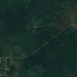
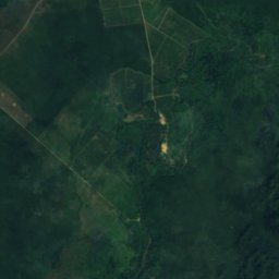
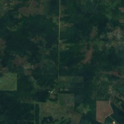
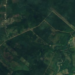
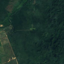
衛星: Sentinel-2 cloudless 2016(EOX IT Services GmbH) · CC BY 4.0 · 改変したCopernicus Sentinelデータ(2016年)を含みます
Nohoch Che'en
St. Matthew’s, Cayo District
衛星: Sentinel-2 cloudless 2016(EOX IT Services GmbH) · CC BY 4.0 · 改変したCopernicus Sentinelデータ(2016年)を含みます
Black Hole Drop
Armenia, Cayo District
232 m
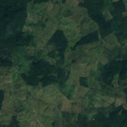
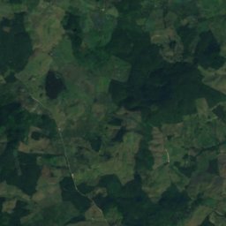
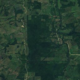
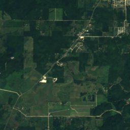
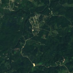
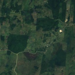
衛星: Sentinel-2 cloudless 2016(EOX IT Services GmbH) · CC BY 4.0 · 改変したCopernicus Sentinelデータ(2016年)を含みます
Che Chem Ha
Benque Viejo del Carmen, Cayo District
川


