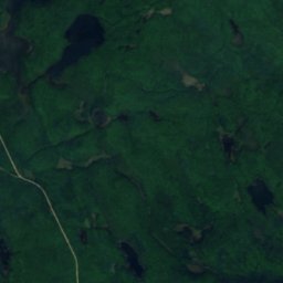
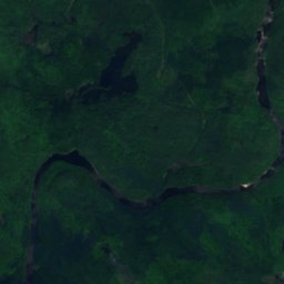
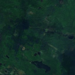
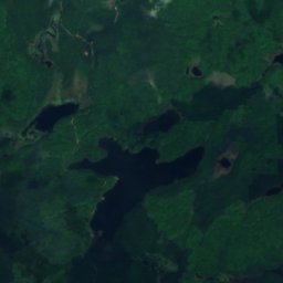
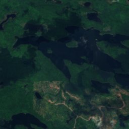
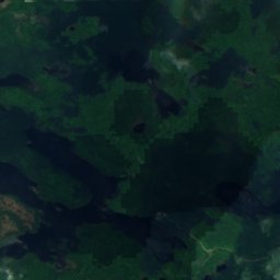
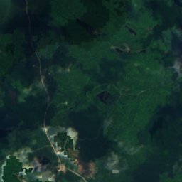
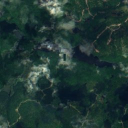
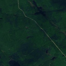
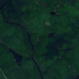
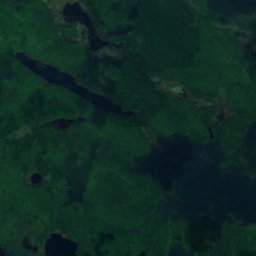
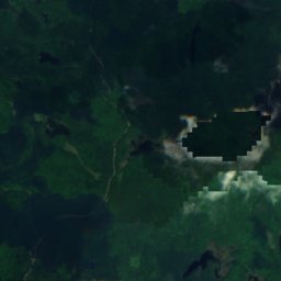
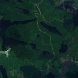
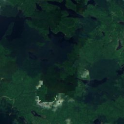
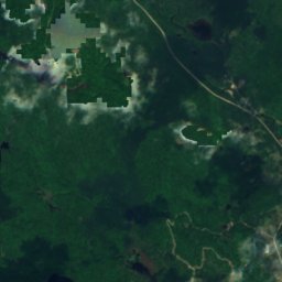
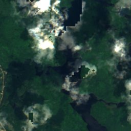
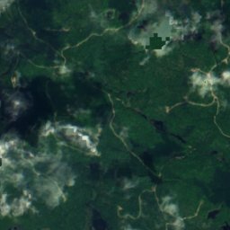
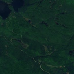
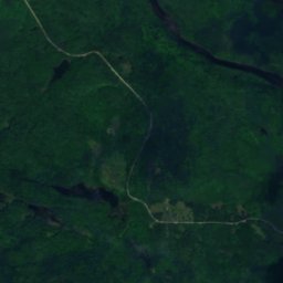
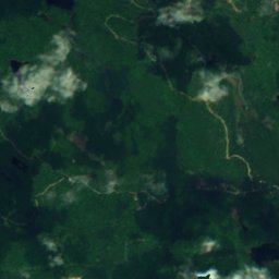
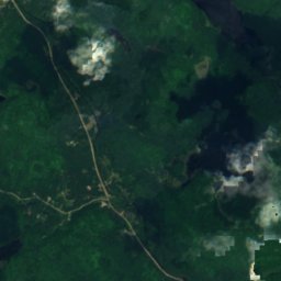
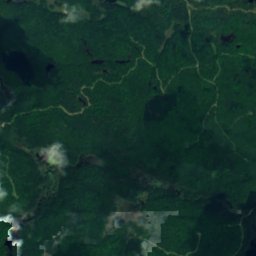
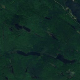
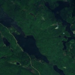
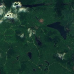
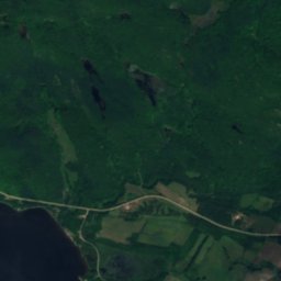
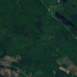
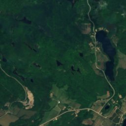
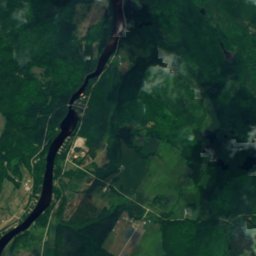
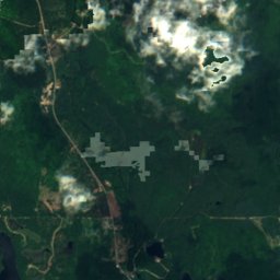
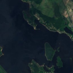
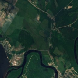
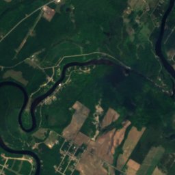
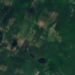
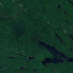
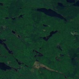
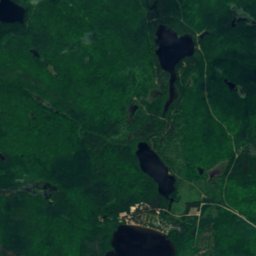
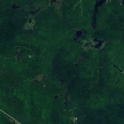
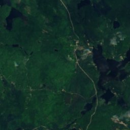
Satellit: Sentinel-2 cloudless 2016 by EOX IT Services GmbH · CC BY 4.0 · Contains modified Copernicus Sentinel data 2016
SeeFort-Coulonge, Quebec
Lac Code
See240 m HöheAm besten Mai · Aug.–Sep.
Höhe240 müber dem Meer
Fläche–Gesamtfläche
Nächster OrtFort-Coulonge16 km
45,95° N, 76,60° WHöhe 240 mUTC−4 · Nordamerikanische Ostküsten-Sommerzeit
ReisezeitFort-Coulonge · Wetterwertung
Beste ZeitMai · Aug.–Sep.
Oktober: Max. / Min.12° / 3°
See
Lac Code in Kürze
Lac Code ist ein See in Fort-Coulonge, Quebec, Kanada.
Er liegt 240 m über dem Meer.
Der nächste Ort ist Fort-Coulonge, 16 km südwestlich; dort ist das Wetter im Mai, August und September am besten.
Wetter in der Nähe
Vorhersage für Fort-Coulonge11°
Sonnig – jetzt
Heute
24. Okt.
13°
-2°
So
25. Okt.
17°
0°
Mo
26. Okt.
11°
3°
1 mm
Di
27. Okt.
7°
-1°
Mi
28. Okt.
8°
-3°
Modelllauf 00:00 UTCMehrmals täglich aktualisiert
Reisezeit
Klima in Fort-CoulongeDie besten Monate rund um Lac Code
Monats-Score in Fort-Coulonge
Komfort, trockene Tage und Sonne · von 10028
Jan.
26
Feb.
25
März
29
Apr.
70
Mai
66
Juni
64
Juli
67
Aug.
79
Sep.
39
Okt.
23
Nov.
15
Dez.
Karte
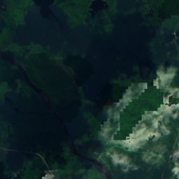
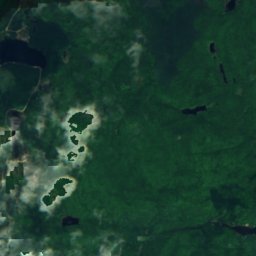
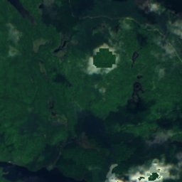
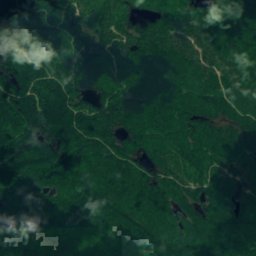
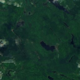
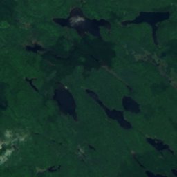
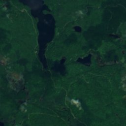
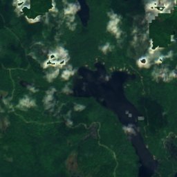
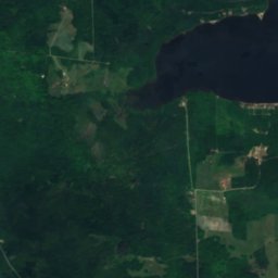
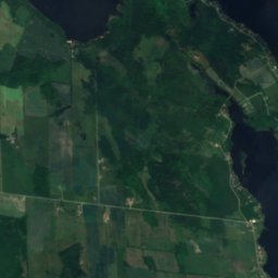
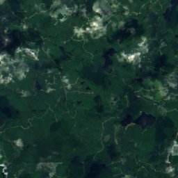
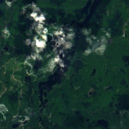
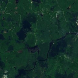
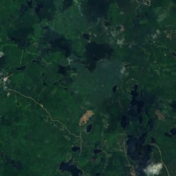
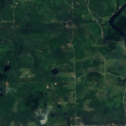
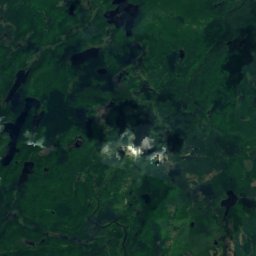
Lac Code von oben
Natur in der NäheAlles in Kanada
Satellit: Sentinel-2 cloudless 2016 by EOX IT Services GmbH · CC BY 4.0 · Contains modified Copernicus Sentinel data 2016
Satellit: Sentinel-2 cloudless 2016 by EOX IT Services GmbH · CC BY 4.0 · Contains modified Copernicus Sentinel data 2016
Satellit: Sentinel-2 cloudless 2016 by EOX IT Services GmbH · CC BY 4.0 · Contains modified Copernicus Sentinel data 2016
Satellit: Sentinel-2 cloudless 2016 by EOX IT Services GmbH · CC BY 4.0 · Contains modified Copernicus Sentinel data 2016
Satellit: Sentinel-2 cloudless 2016 by EOX IT Services GmbH · CC BY 4.0 · Contains modified Copernicus Sentinel data 2016
Satellit: Sentinel-2 cloudless 2016 by EOX IT Services GmbH · CC BY 4.0 · Contains modified Copernicus Sentinel data 2016
Übernachten
Orte ganz in der Nähe


In der Umgebung
Fort-Coulonge und Umgebung
Natur
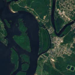
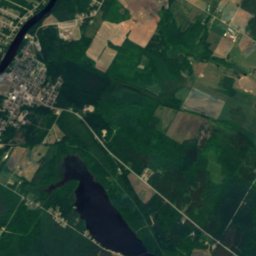
Satellit: Sentinel-2 cloudless 2016 by EOX IT Services GmbH · CC BY 4.0 · Contains modified Copernicus Sentinel data 2016
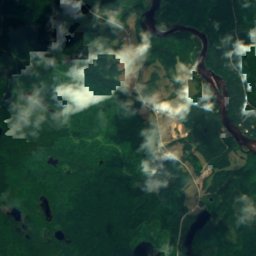
Rivière Coulonge
Fluss
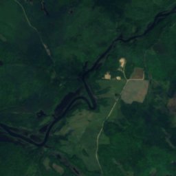
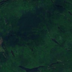
Satellit: Sentinel-2 cloudless 2016 by EOX IT Services GmbH · CC BY 4.0 · Contains modified Copernicus Sentinel data 2016
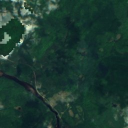
Chutes Coulonge
Wasserfall
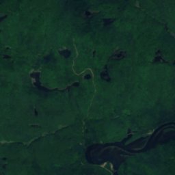
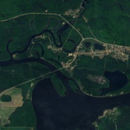
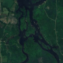
Satellit: Sentinel-2 cloudless 2016 by EOX IT Services GmbH · CC BY 4.0 · Contains modified Copernicus Sentinel data 2016
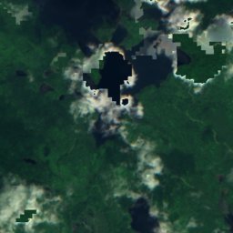
lac Coulonge
See · 104 m
Berge
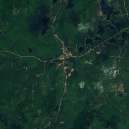
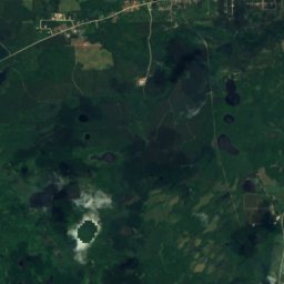
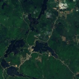
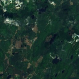
Satellit: Sentinel-2 cloudless 2016 by EOX IT Services GmbH · CC BY 4.0 · Contains modified Copernicus Sentinel data 2016
Mont O'Brien
392 m · Laurentinische Berge
Denkmäler


Satellit: Sentinel-2 cloudless 2016 by EOX IT Services GmbH · CC BY 4.0 · Contains modified Copernicus Sentinel data 2016