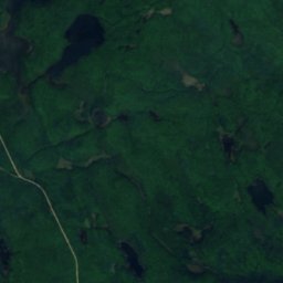
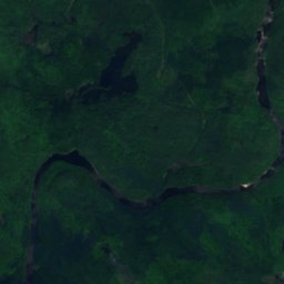
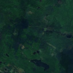
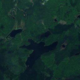
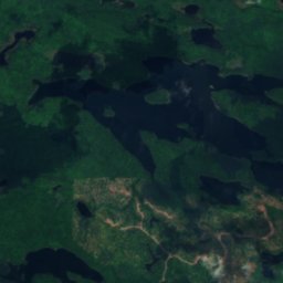
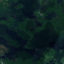
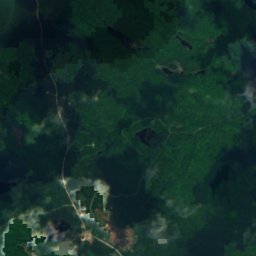
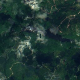
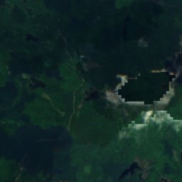
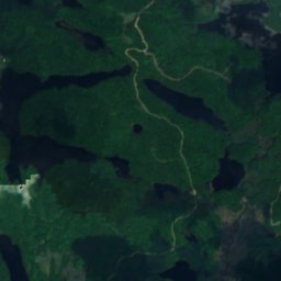
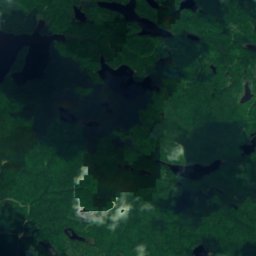
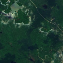
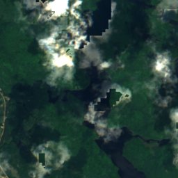
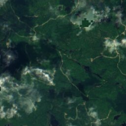
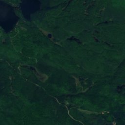
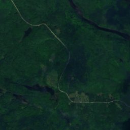
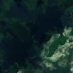
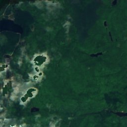
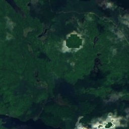
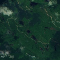
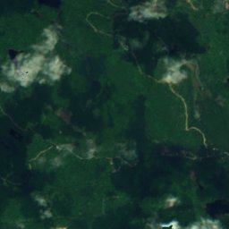
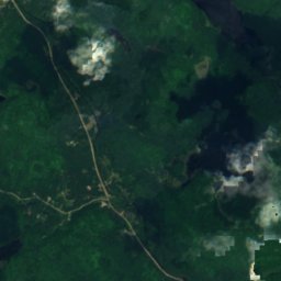
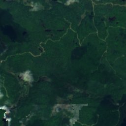
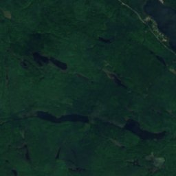
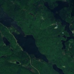
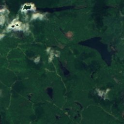
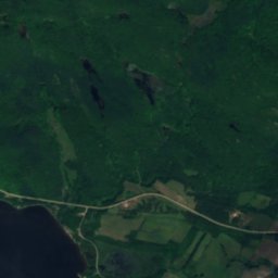
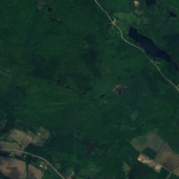
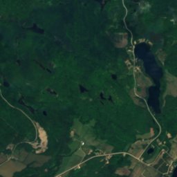
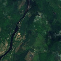
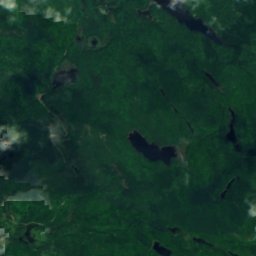
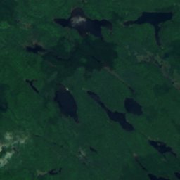
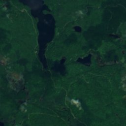
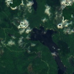
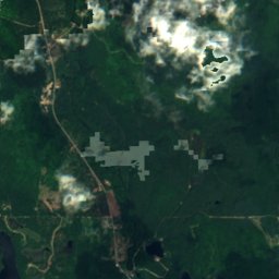
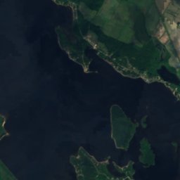
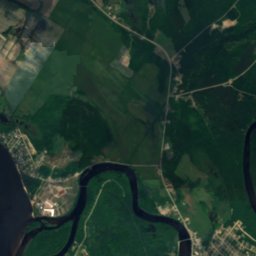
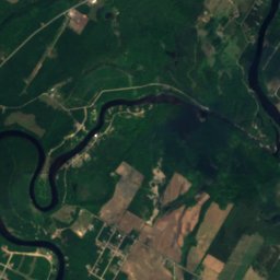
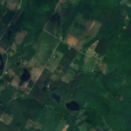
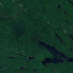
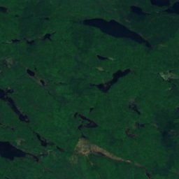
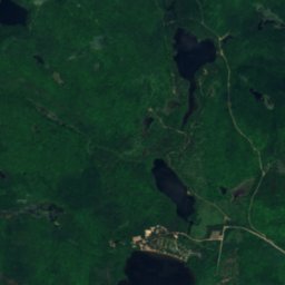
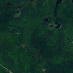
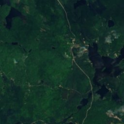
Satellite: Sentinel-2 cloudless 2016 di EOX IT Services GmbH · CC BY 4.0 · Contiene dati Copernicus Sentinel modificati (2016)
LagoFort-Coulonge, Quebec
Lac Code
Lago240 m di altitudinePeriodo migliore: mag · ago–set
Altitudine240 msul livello del mare
Superficie–superficie totale
Località più vicinaFort-Coulonge16 km
45,95° N, 76,60° OAltitudine 240 mUTC−4 · Ora legale orientale USA
Quando andareFort-Coulonge · punteggio meteo
Periodo miglioremag · ago–set
ottobre: max / min12° / 3°
Lago
Lac Code in sintesi
Lac Code è un lago situato in Canada (Quebec), vicino a Fort-Coulonge.
Si trova a 240 m di altitudine.
La località più vicina è Fort-Coulonge, a 16 km a sud-ovest; lì il tempo è più piacevole nei mesi di maggio, agosto e settembre.
Il meteo nei dintorni
Previsioni per Fort-Coulonge1°
Ora: sereno
Oggi
25 ott
17°
0°
lun
26 ott
11°
2°
3 mm
mar
27 ott
7°
-1°
mer
28 ott
9°
-3°
gio
29 ott
15°
1°
5 mm
Corsa del modello 00:00 UTCAggiornate più volte al giorno
Quando andare
Clima di Fort-CoulongeLac Code: i mesi migliori
Punteggio mensile a Fort-Coulonge
Comfort, giorni asciutti e sole · su 10028
gen
26
feb
25
mar
29
apr
70
mag
66
giu
64
lug
67
ago
79
set
39
ott
23
nov
15
dic
Mappa
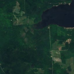
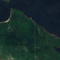
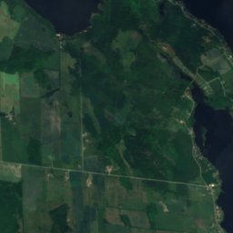
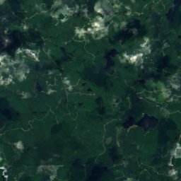
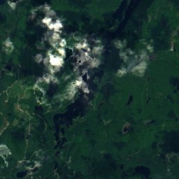
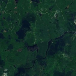
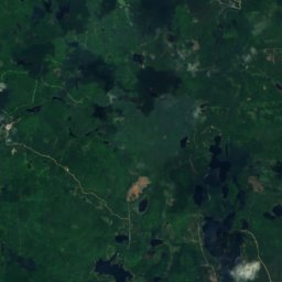
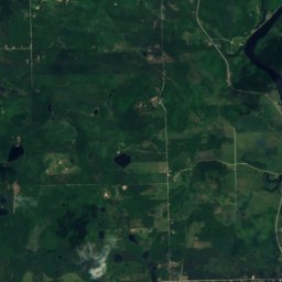
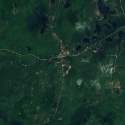
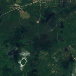
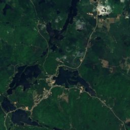
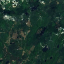
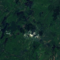
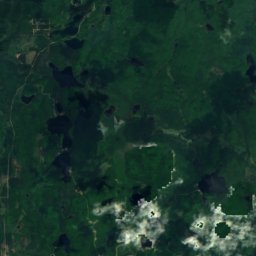
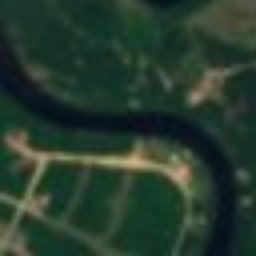
Lac Code dall'alto
Natura nei dintorniTutto il paese
Satellite: Sentinel-2 cloudless 2016 di EOX IT Services GmbH · CC BY 4.0 · Contiene dati Copernicus Sentinel modificati (2016)
Satellite: Sentinel-2 cloudless 2016 di EOX IT Services GmbH · CC BY 4.0 · Contiene dati Copernicus Sentinel modificati (2016)
Satellite: Sentinel-2 cloudless 2016 di EOX IT Services GmbH · CC BY 4.0 · Contiene dati Copernicus Sentinel modificati (2016)
Satellite: Sentinel-2 cloudless 2016 di EOX IT Services GmbH · CC BY 4.0 · Contiene dati Copernicus Sentinel modificati (2016)
Satellite: Sentinel-2 cloudless 2016 di EOX IT Services GmbH · CC BY 4.0 · Contiene dati Copernicus Sentinel modificati (2016)
Satellite: Sentinel-2 cloudless 2016 di EOX IT Services GmbH · CC BY 4.0 · Contiene dati Copernicus Sentinel modificati (2016)
Dove dormire
Località a due passi


Nei dintorni
Fort-Coulonge e dintorni
Natura
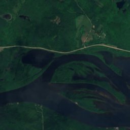
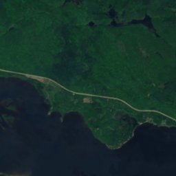
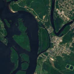
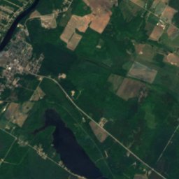
Satellite: Sentinel-2 cloudless 2016 di EOX IT Services GmbH · CC BY 4.0 · Contiene dati Copernicus Sentinel modificati (2016)
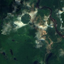
Rivière Coulonge
Fiume
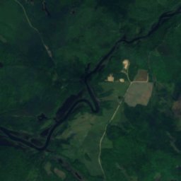
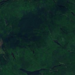
Satellite: Sentinel-2 cloudless 2016 di EOX IT Services GmbH · CC BY 4.0 · Contiene dati Copernicus Sentinel modificati (2016)
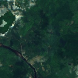
Cascata Coulonge
Cascata
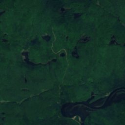
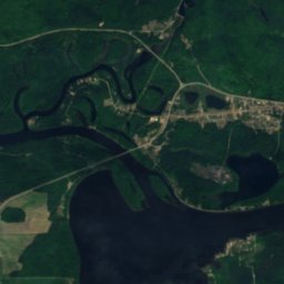
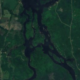
Satellite: Sentinel-2 cloudless 2016 di EOX IT Services GmbH · CC BY 4.0 · Contiene dati Copernicus Sentinel modificati (2016)
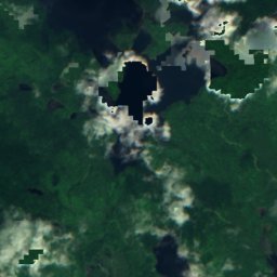
Lac Coulonge
Lago · 104 m
Montagne
Satellite: Sentinel-2 cloudless 2016 di EOX IT Services GmbH · CC BY 4.0 · Contiene dati Copernicus Sentinel modificati (2016)
Mont O'Brien
392 m · Monti Laurenziani
Patrimonio


Satellite: Sentinel-2 cloudless 2016 di EOX IT Services GmbH · CC BY 4.0 · Contiene dati Copernicus Sentinel modificati (2016)