Natur
Wasser, Eis und Wildnis in Botsuana
Seen, Wasserfälle, Gletscher, Nationalparks und Berghütten – jeweils mit Lage, Größe und dem Wetter der Orte ringsum.
Inseln9mit eigener Seite
Höhlen1mit eigener Seite
Flüsse8mit eigener Seite

Foto: Peter Pawlowski from Pittsburgh, USA · CC BY 2.0 · Wikimedia CommonsFoto melden · verlinkt, nicht gespeichert
Inseln
Inseln Botsuanas

Foto: Peter Pawlowski from Pittsburgh, USA · CC BY 2.0 · Wikimedia CommonsFoto melden · verlinkt, nicht gespeichert
Sedudu
Kasane, Chobe
928 m
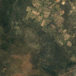
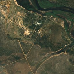
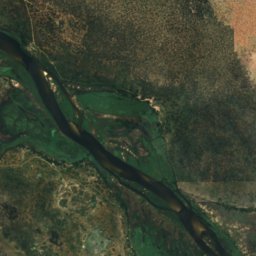
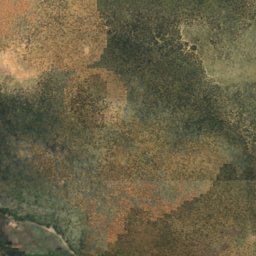
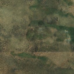
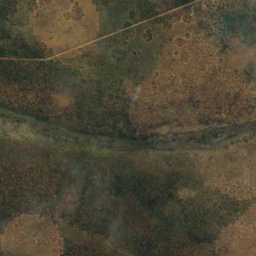
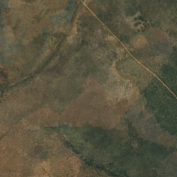
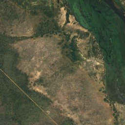
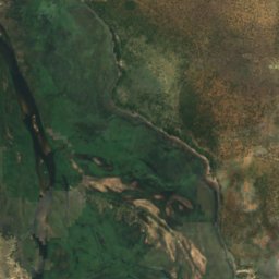
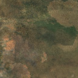
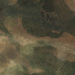
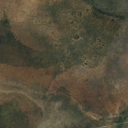
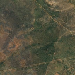
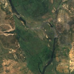
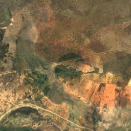
Satellit: Sentinel-2 cloudless 2016 by EOX IT Services GmbH · CC BY 4.0 · Contains modified Copernicus Sentinel data 2016
Biye
Shakawe, North-West
997 m
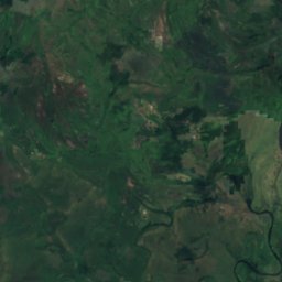
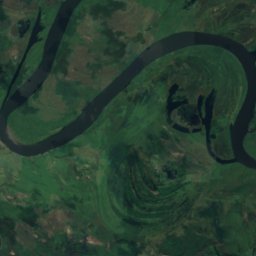
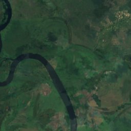
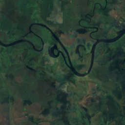
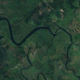
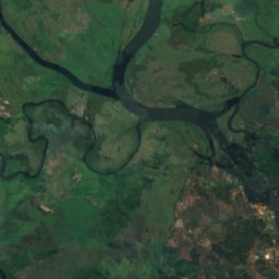
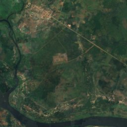
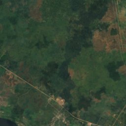
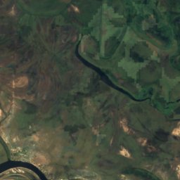
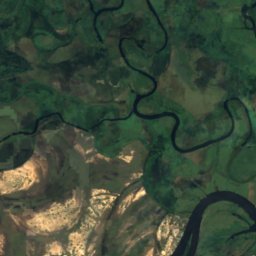
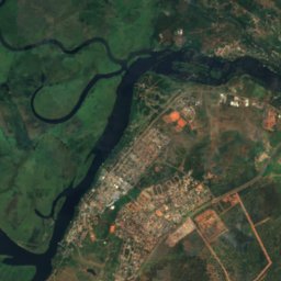
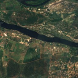
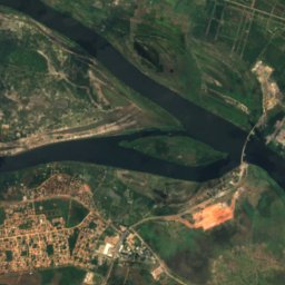
Satellit: Sentinel-2 cloudless 2016 by EOX IT Services GmbH · CC BY 4.0 · Contains modified Copernicus Sentinel data 2016
Ibozu
Kasane, Chobe
930 m
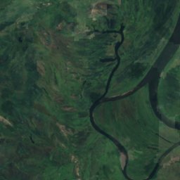
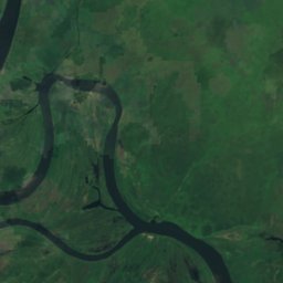
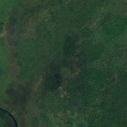
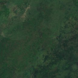
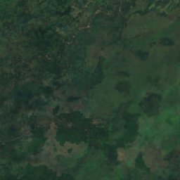
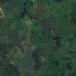
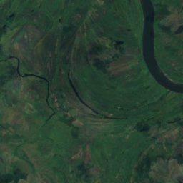
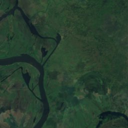
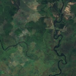
Satellit: Sentinel-2 cloudless 2016 by EOX IT Services GmbH · CC BY 4.0 · Contains modified Copernicus Sentinel data 2016
Kasange Island
Kasane, Chobe
928 m
Satellit: Sentinel-2 cloudless 2016 by EOX IT Services GmbH · CC BY 4.0 · Contains modified Copernicus Sentinel data 2016
Kasuma
Kasane, Chobe
927 m
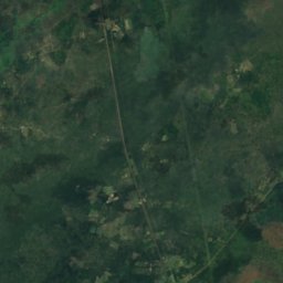
Satellit: Sentinel-2 cloudless 2016 by EOX IT Services GmbH · CC BY 4.0 · Contains modified Copernicus Sentinel data 2016
Liabwelwa Island
Kasane, Chobe
929 m
Satellit: Sentinel-2 cloudless 2016 by EOX IT Services GmbH · CC BY 4.0 · Contains modified Copernicus Sentinel data 2016
Lombe Island
Kasane, Chobe
930 m
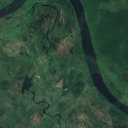
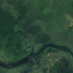
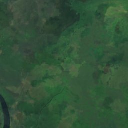
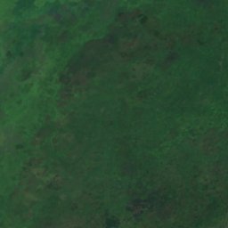
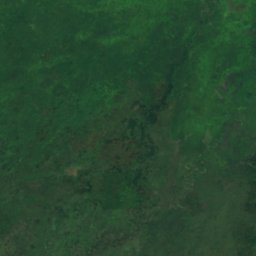
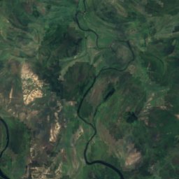
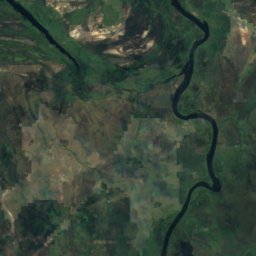
Satellit: Sentinel-2 cloudless 2016 by EOX IT Services GmbH · CC BY 4.0 · Contains modified Copernicus Sentinel data 2016
Masulamini
Kasane, Chobe
929 m
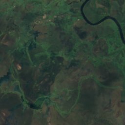
Satellit: Sentinel-2 cloudless 2016 by EOX IT Services GmbH · CC BY 4.0 · Contains modified Copernicus Sentinel data 2016
Sipalandwe Island
Kasane, Chobe
929 m
Höhlen
Höhlen Botsuanas

Flüsse
Flüsse Botsuanas

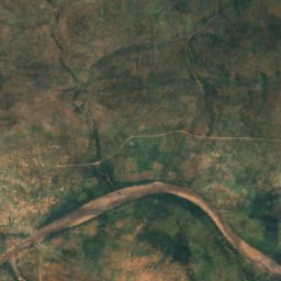
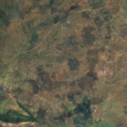
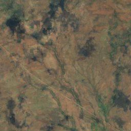
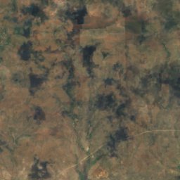
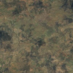
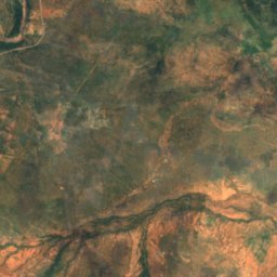
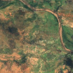
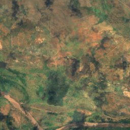
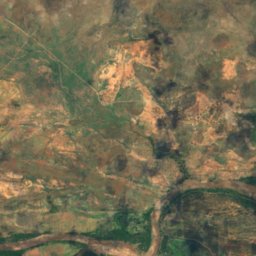
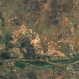
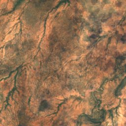
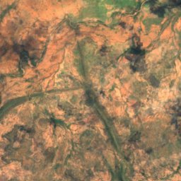
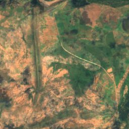
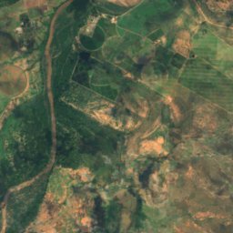
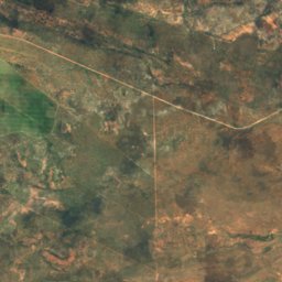
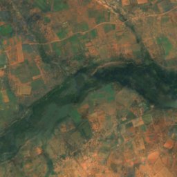
Satellit: Sentinel-2 cloudless 2016 by EOX IT Services GmbH · CC BY 4.0 · Contains modified Copernicus Sentinel data 2016
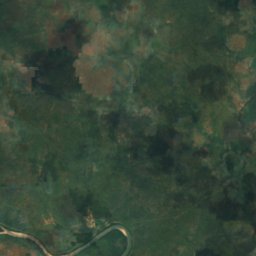
Motloutse
Mathathane, Central
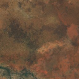
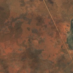
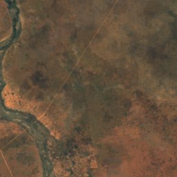
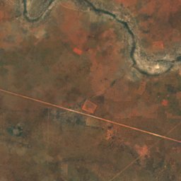
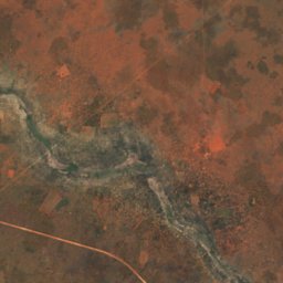
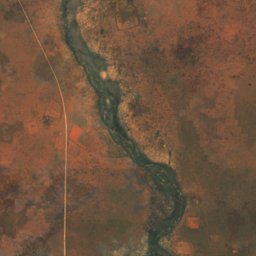
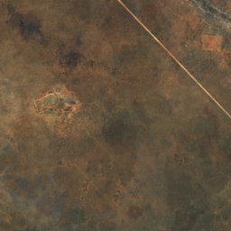
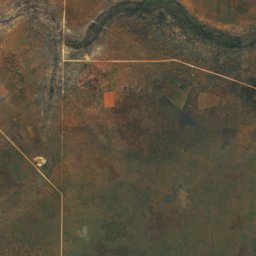
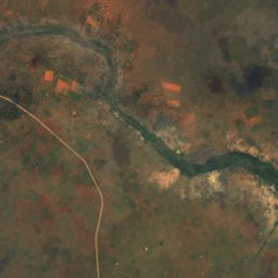
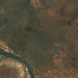
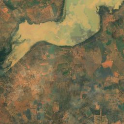
Satellit: Sentinel-2 cloudless 2016 by EOX IT Services GmbH · CC BY 4.0 · Contains modified Copernicus Sentinel data 2016
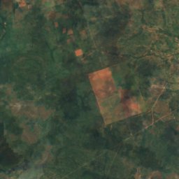
Noka ya Bonwapitse
Mookane, Central
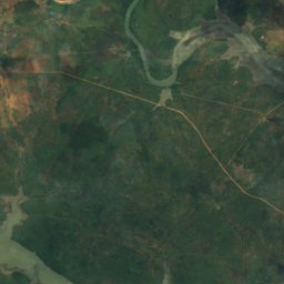
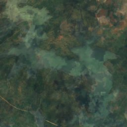
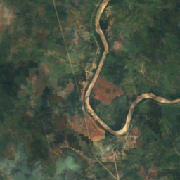
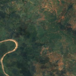
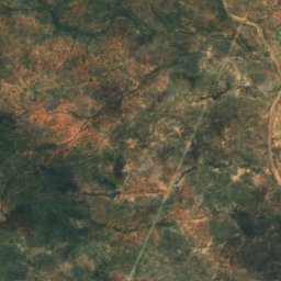
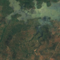
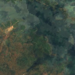
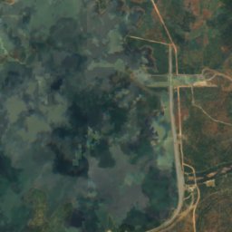
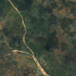
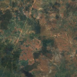
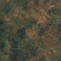
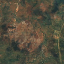
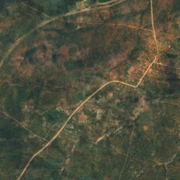
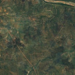
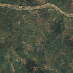
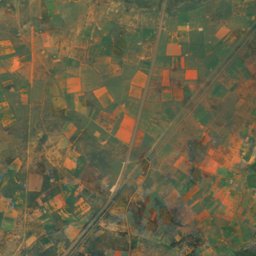
Satellit: Sentinel-2 cloudless 2016 by EOX IT Services GmbH · CC BY 4.0 · Contains modified Copernicus Sentinel data 2016
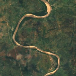
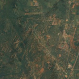
Noka ya Ramokgwebana
Tshokwe, Central
863 m
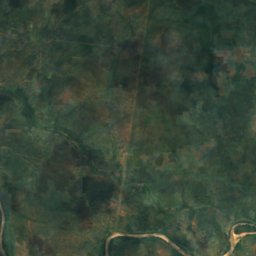
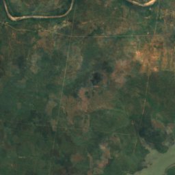
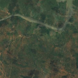
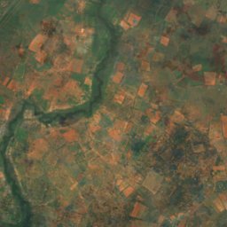
Satellit: Sentinel-2 cloudless 2016 by EOX IT Services GmbH · CC BY 4.0 · Contains modified Copernicus Sentinel data 2016
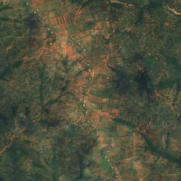
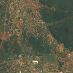
Noka ya Tati
Tshokwe, Central
856 m
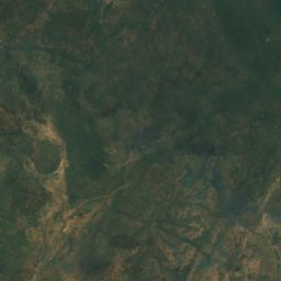
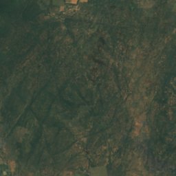
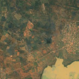
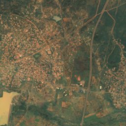
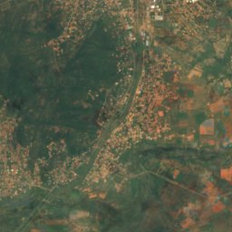
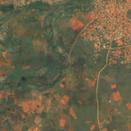
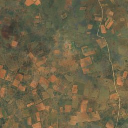
Satellit: Sentinel-2 cloudless 2016 by EOX IT Services GmbH · CC BY 4.0 · Contains modified Copernicus Sentinel data 2016
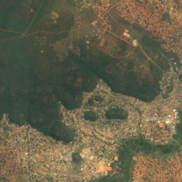
Noka ya Metsimotlhabe
Morwa, Kgatleng
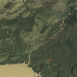
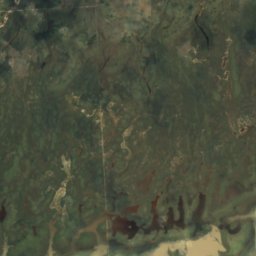
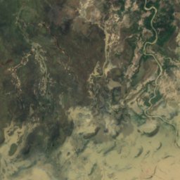
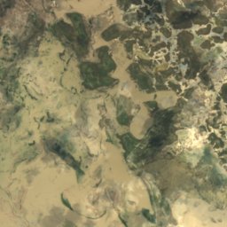
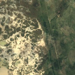
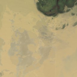
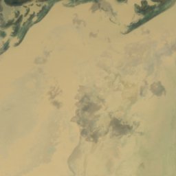
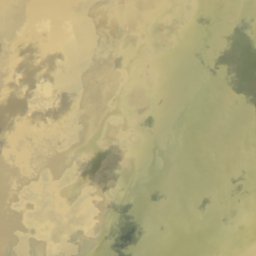
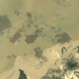
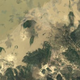
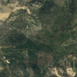
Satellit: Sentinel-2 cloudless 2016 by EOX IT Services GmbH · CC BY 4.0 · Contains modified Copernicus Sentinel data 2016
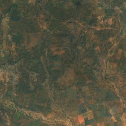
Noka ya Semowane
Dukwe, North-East
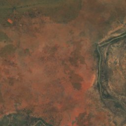
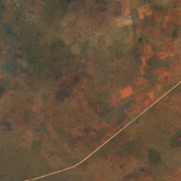
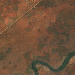
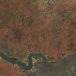
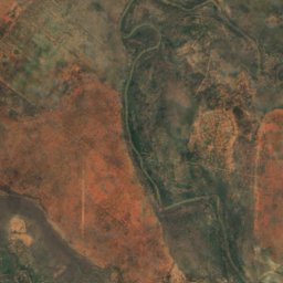
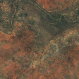
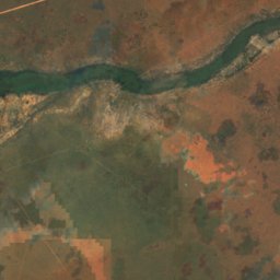
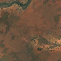
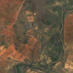
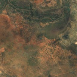
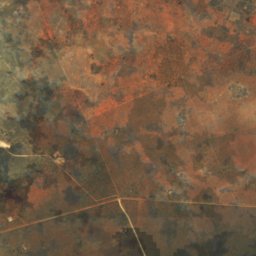


Satellit: Sentinel-2 cloudless 2016 by EOX IT Services GmbH · CC BY 4.0 · Contains modified Copernicus Sentinel data 2016
Serorome River
Kurametsi, Central