Alam
Perairan, gletser, dan alam liar Botswana
Danau, air terjun, gletser, taman nasional, dan pondok gunung, masing-masing dengan lokasi, ukuran, dan cuaca di sekitarnya.
Pulau9masing-masing dengan halamannya
Gua1masing-masing dengan halamannya
Sungai8masing-masing dengan halamannya

Foto: Peter Pawlowski from Pittsburgh, USA · CC BY 2.0 · Wikimedia CommonsLaporkan foto ini · ditautkan, tidak disimpan
Pulau
Pulau di Botswana

Foto: Peter Pawlowski from Pittsburgh, USA · CC BY 2.0 · Wikimedia CommonsLaporkan foto ini · ditautkan, tidak disimpan
Kasikili Island
Kasane, Chobe
928 m
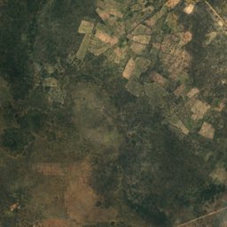
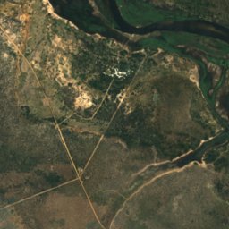
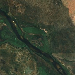
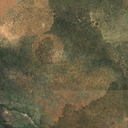
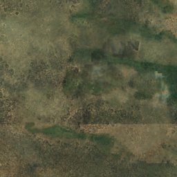
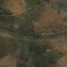
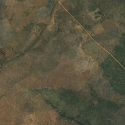
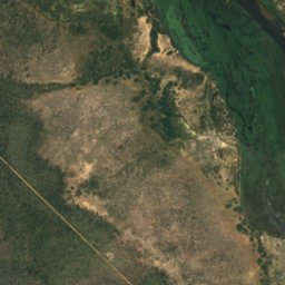
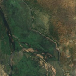
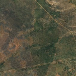
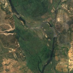
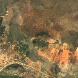
Satelit: Sentinel-2 cloudless 2016 dari EOX IT Services GmbH · CC BY 4.0 · Berisi data Copernicus Sentinel (2016) yang telah dimodifikasi
Biye
Shakawe, North-West
997 m
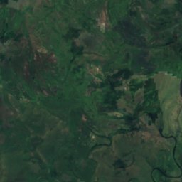
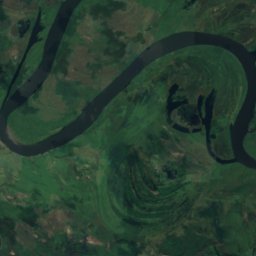
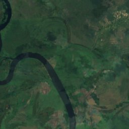
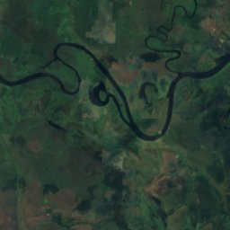
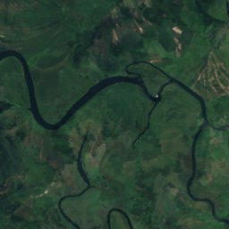
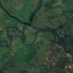
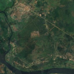
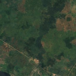
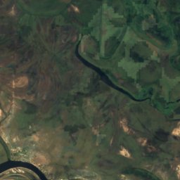
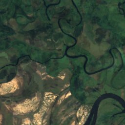
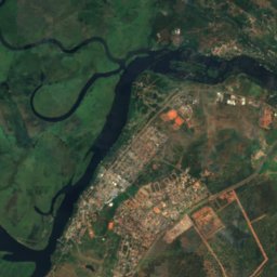
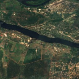
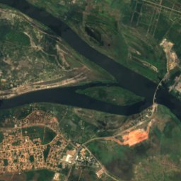
Satelit: Sentinel-2 cloudless 2016 dari EOX IT Services GmbH · CC BY 4.0 · Berisi data Copernicus Sentinel (2016) yang telah dimodifikasi
Ibozu
Kasane, Chobe
930 m
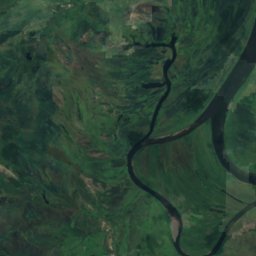
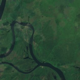
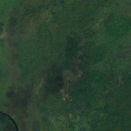
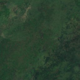
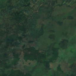
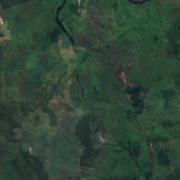
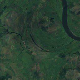
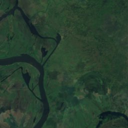
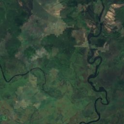
Satelit: Sentinel-2 cloudless 2016 dari EOX IT Services GmbH · CC BY 4.0 · Berisi data Copernicus Sentinel (2016) yang telah dimodifikasi
Kasange Island
Kasane, Chobe
928 m
Satelit: Sentinel-2 cloudless 2016 dari EOX IT Services GmbH · CC BY 4.0 · Berisi data Copernicus Sentinel (2016) yang telah dimodifikasi
Kasuma
Kasane, Chobe
927 m
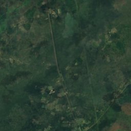
Satelit: Sentinel-2 cloudless 2016 dari EOX IT Services GmbH · CC BY 4.0 · Berisi data Copernicus Sentinel (2016) yang telah dimodifikasi
Liabwelwa Island
Kasane, Chobe
929 m
Satelit: Sentinel-2 cloudless 2016 dari EOX IT Services GmbH · CC BY 4.0 · Berisi data Copernicus Sentinel (2016) yang telah dimodifikasi
Lombe Island
Kasane, Chobe
930 m
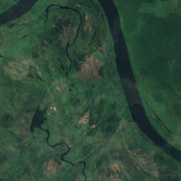
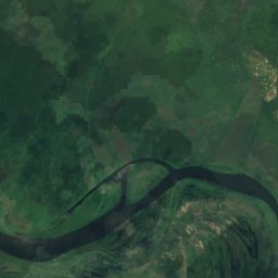
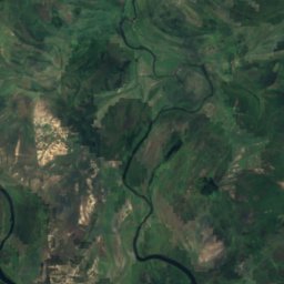
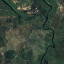
Satelit: Sentinel-2 cloudless 2016 dari EOX IT Services GmbH · CC BY 4.0 · Berisi data Copernicus Sentinel (2016) yang telah dimodifikasi
Masulamini
Kasane, Chobe
929 m
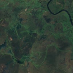
Satelit: Sentinel-2 cloudless 2016 dari EOX IT Services GmbH · CC BY 4.0 · Berisi data Copernicus Sentinel (2016) yang telah dimodifikasi
Sipalandwe Island
Kasane, Chobe
929 m
Gua
Gua di Botswana

Sungai
Sungai di Botswana

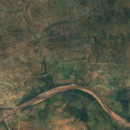
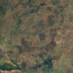
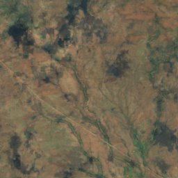
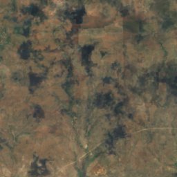
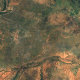
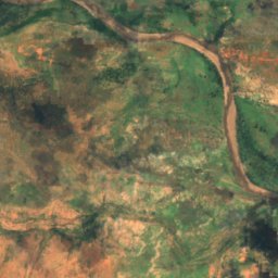
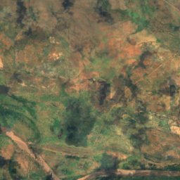
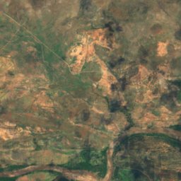
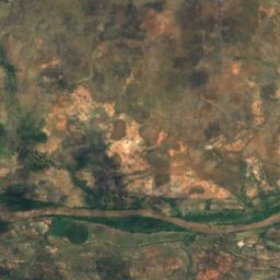
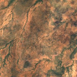
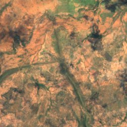
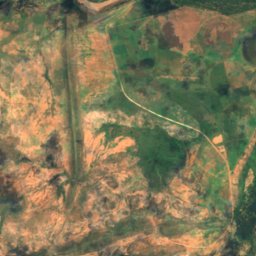
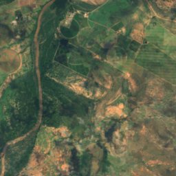
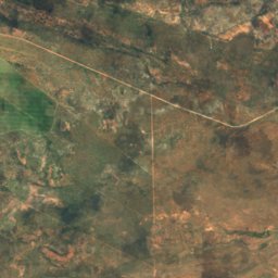
Satelit: Sentinel-2 cloudless 2016 dari EOX IT Services GmbH · CC BY 4.0 · Berisi data Copernicus Sentinel (2016) yang telah dimodifikasi
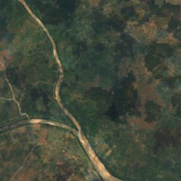
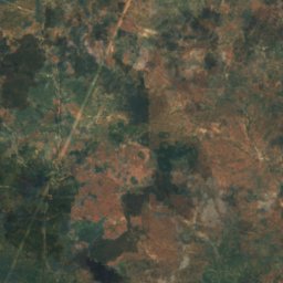
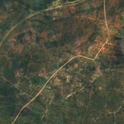
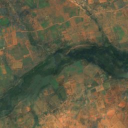
Motloutse River
Mathathane, Central
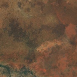
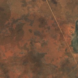
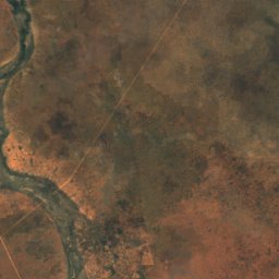
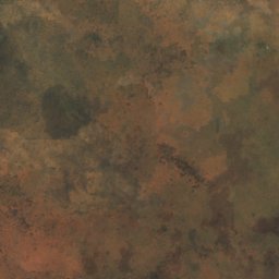
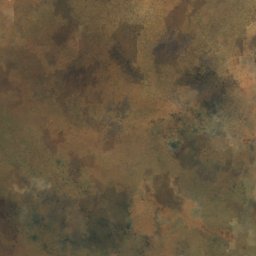
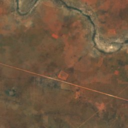
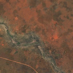
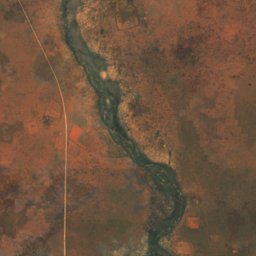
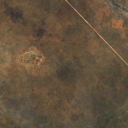
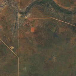
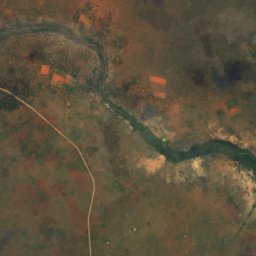
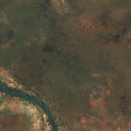
Satelit: Sentinel-2 cloudless 2016 dari EOX IT Services GmbH · CC BY 4.0 · Berisi data Copernicus Sentinel (2016) yang telah dimodifikasi
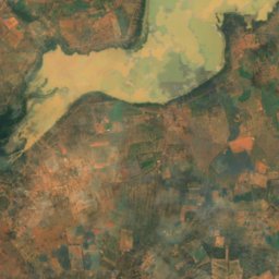
Bonwapitse River
Mookane, Central
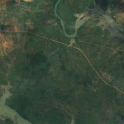
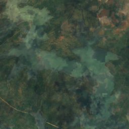
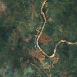
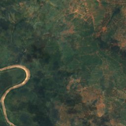
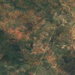
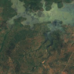
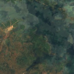
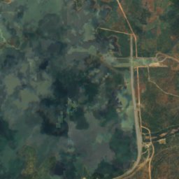
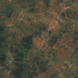
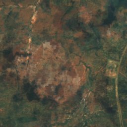
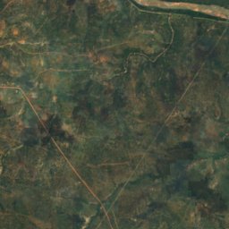
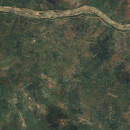
Satelit: Sentinel-2 cloudless 2016 dari EOX IT Services GmbH · CC BY 4.0 · Berisi data Copernicus Sentinel (2016) yang telah dimodifikasi
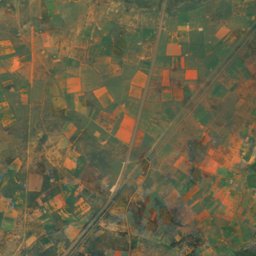
Ramokgwebana River
Tshokwe, Central
863 m
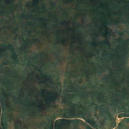
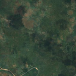
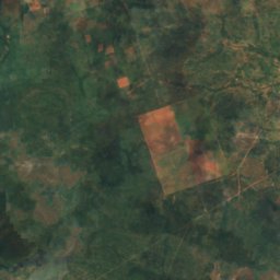
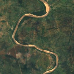
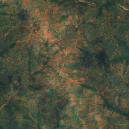
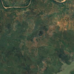
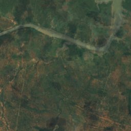
Satelit: Sentinel-2 cloudless 2016 dari EOX IT Services GmbH · CC BY 4.0 · Berisi data Copernicus Sentinel (2016) yang telah dimodifikasi
Tati River
Tshokwe, Central
856 m
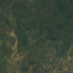
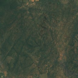
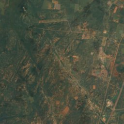
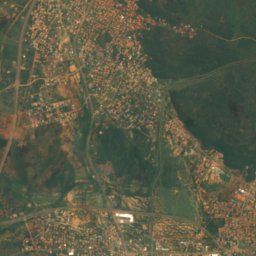
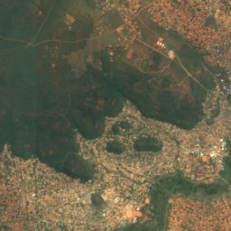
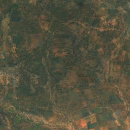
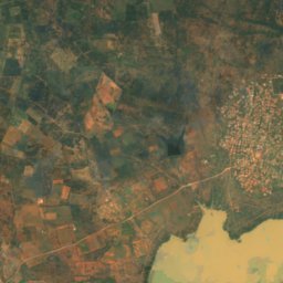
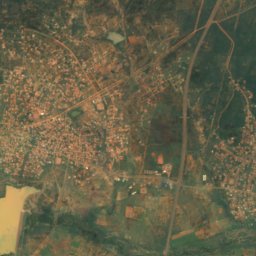
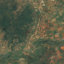
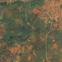
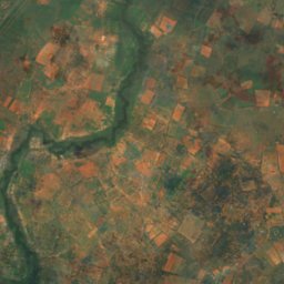
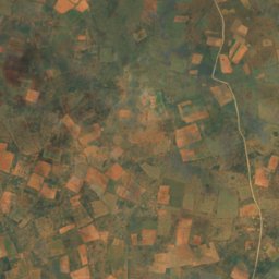
Satelit: Sentinel-2 cloudless 2016 dari EOX IT Services GmbH · CC BY 4.0 · Berisi data Copernicus Sentinel (2016) yang telah dimodifikasi
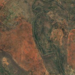
Metsimotlhabe River
Morwa, Kgatleng
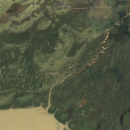
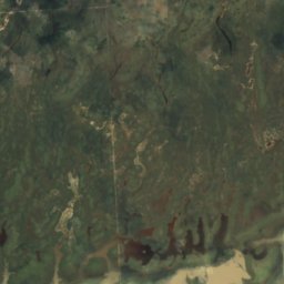
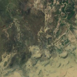
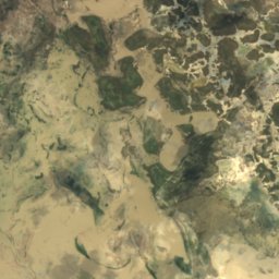
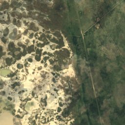
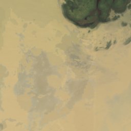
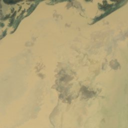
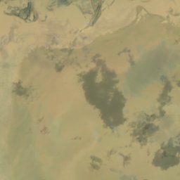
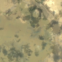
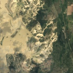
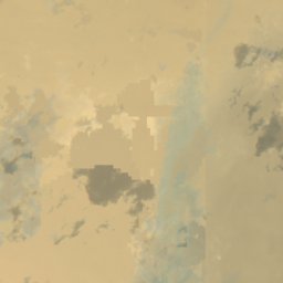
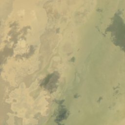
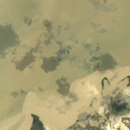
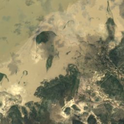
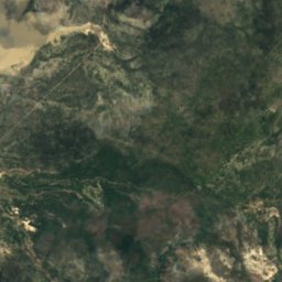
Satelit: Sentinel-2 cloudless 2016 dari EOX IT Services GmbH · CC BY 4.0 · Berisi data Copernicus Sentinel (2016) yang telah dimodifikasi
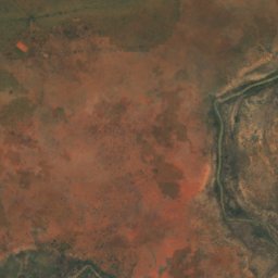
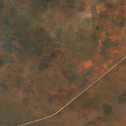
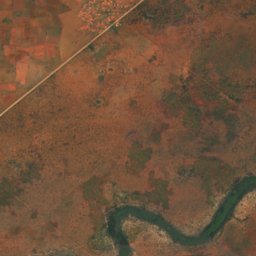
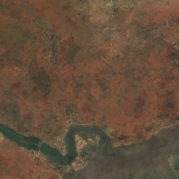
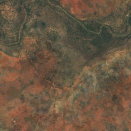
Semowane River
Dukwe, North-East
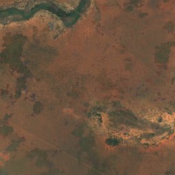
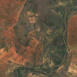
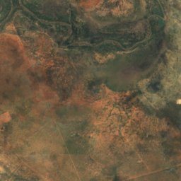
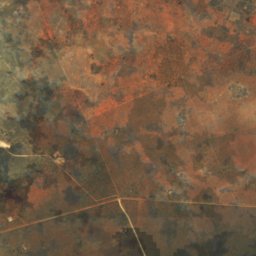


Satelit: Sentinel-2 cloudless 2016 dari EOX IT Services GmbH · CC BY 4.0 · Berisi data Copernicus Sentinel (2016) yang telah dimodifikasi
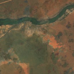
Serorome River
Kurametsi, Central