




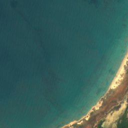











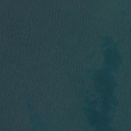

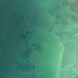






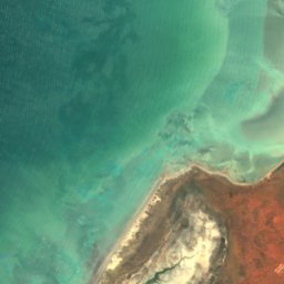





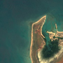
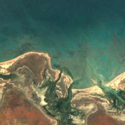
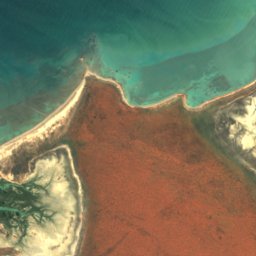
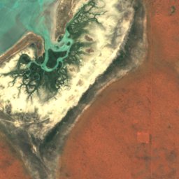




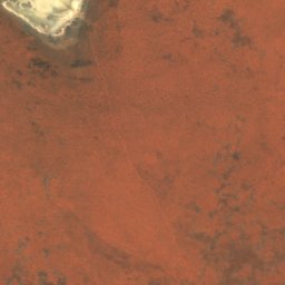
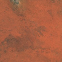
Satellit: Sentinel-2 cloudless 2016 by EOX IT Services GmbH · CC BY 4.0 · Contains modified Copernicus Sentinel data 2016
InselBidyadanga Community, Western Australia
Shell Patch
InselAm besten Juni–Aug.
Höhe–über dem Meer
Fläche–Gesamtfläche
Nächster OrtBidyadanga Community18 km
18,68° S, 121,61° OUTC+8 · Westaustralische Normalzeit
ReisezeitBidyadanga Community · Wetterwertung
Beste ZeitJuni–Aug.
Oktober: Max. / Min.34° / 24°
Insel
Shell Patch in Kürze
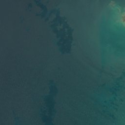
Shell Patch ist eine Insel in Bidyadanga Community, Western Australia, Australien.
Der nächste Ort im Atlas ist Bidyadanga Community, 18 km östlich; dort ist das Wetter im Juni, Juli und August am besten.
Wetter in der Nähe
Vorhersage für Bidyadanga Community24°
Klar – jetzt
Heute
23. Okt.
34°
24°
Sa
24. Okt.
33°
25°
So
25. Okt.
34°
24°
Mo
26. Okt.
32°
24°
Di
27. Okt.
31°
24°
Modelllauf 12:00 UTCMehrmals täglich aktualisiert
Reisezeit
Klima in Bidyadanga CommunityDie besten Monate rund um Shell Patch
Monats-Score in Bidyadanga Community
Komfort, trockene Tage und Sonne · von 10031
Jan.
35
Feb.
39
März
51
Apr.
67
Mai
81
Juni
86
Juli
80
Aug.
71
Sep.
64
Okt.
57
Nov.
42
Dez.
Karte
Shell Patch von oben
Natur in der NäheAlles in Australien
Satellit: Sentinel-2 cloudless 2016 by EOX IT Services GmbH · CC BY 4.0 · Contains modified Copernicus Sentinel data 2016
Satellit: Sentinel-2 cloudless 2016 by EOX IT Services GmbH · CC BY 4.0 · Contains modified Copernicus Sentinel data 2016
Satellit: Sentinel-2 cloudless 2016 by EOX IT Services GmbH · CC BY 4.0 · Contains modified Copernicus Sentinel data 2016





Satellit: Sentinel-2 cloudless 2016 by EOX IT Services GmbH · CC BY 4.0 · Contains modified Copernicus Sentinel data 2016
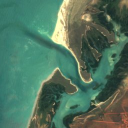
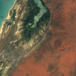
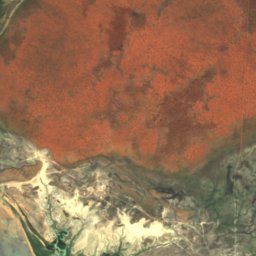
Satellit: Sentinel-2 cloudless 2016 by EOX IT Services GmbH · CC BY 4.0 · Contains modified Copernicus Sentinel data 2016
Übernachten
Orte ganz in der Nähe


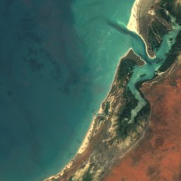
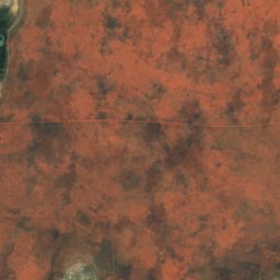
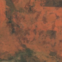


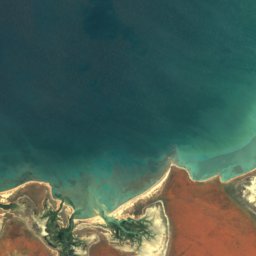
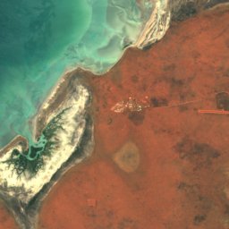
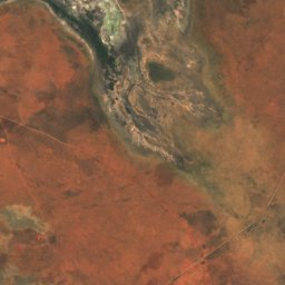
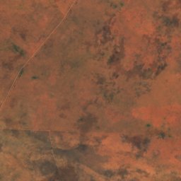
Satellit: Sentinel-2 cloudless 2016 by EOX IT Services GmbH · CC BY 4.0 · Contains modified Copernicus Sentinel data 2016
Bidyadanga Community
Western Australia · 18 km O
34°max. Okt.
0Regentage
64Score
In der Umgebung
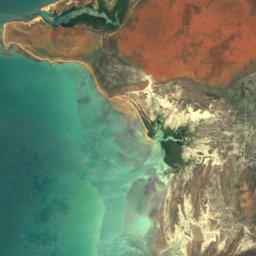
Bidyadanga Community und Umgebung
Satellit: Sentinel-2 cloudless 2016 by EOX IT Services GmbH · CC BY 4.0 · Contains modified Copernicus Sentinel data 2016
Bidyadanga Community
Western Australia · Australien
Juni–Aug.beste Monate
28°max. im Juli
12 mHöhe
Natur
Satellit: Sentinel-2 cloudless 2016 by EOX IT Services GmbH · CC BY 4.0 · Contains modified Copernicus Sentinel data 2016
Red Islet, Western Australia
Insel · 3 m
Satellit: Sentinel-2 cloudless 2016 by EOX IT Services GmbH · CC BY 4.0 · Contains modified Copernicus Sentinel data 2016
Middle Reef, Western Australia
Insel
Satellit: Sentinel-2 cloudless 2016 by EOX IT Services GmbH · CC BY 4.0 · Contains modified Copernicus Sentinel data 2016
Outer Reef, Western Australia
Insel