


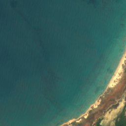





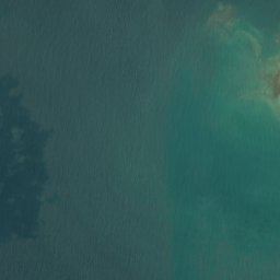
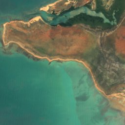





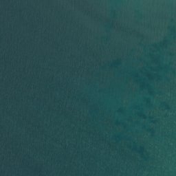
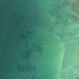






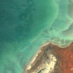





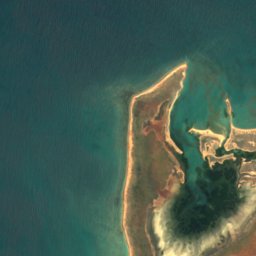
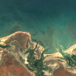
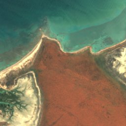
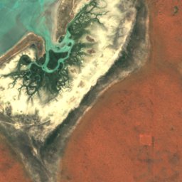




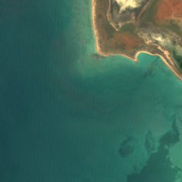
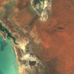
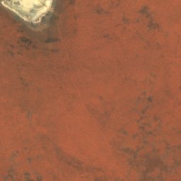
Satélite: Sentinel-2 cloudless 2016 da EOX IT Services GmbH · CC BY 4.0 · Contém dados modificados do Copernicus Sentinel (2016)
IlhaBidyadanga Community, Western Australia
Shell Patch
IlhaMelhor época: jun.–ago.
Altitude–acima do nível do mar
Área–área total
Cidade mais próximaBidyadanga Community18 km
18,68° S, 121,61° LUTC+8 · Horário Padrão da Austrália Ocidental
Quando irBidyadanga Community · nota do tempo
Melhor épocajun.–ago.
outubro: máx. / mín.34° / 24°
Ilha
Shell Patch em resumo
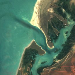
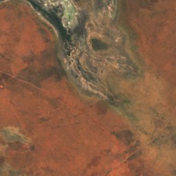
Shell Patch é uma ilha situada na Austrália (Western Australia), perto de Bidyadanga Community.
A cidade mais próxima no atlas é Bidyadanga Community, a 18 km a leste; lá o tempo é mais agradável em junho, julho e agosto.
O tempo agora nos arredores
Previsão para Bidyadanga Community25°
Agora: céu limpo
Hoje
23 de out.
35°
24°
sáb.
24 de out.
32°
24°
dom.
25 de out.
33°
24°
seg.
26 de out.
31°
24°
ter.
27 de out.
31°
24°
Rodada do modelo 00:00 UTCAtualizada várias vezes ao dia
Quando ir
Clima de Bidyadanga CommunityShell Patch: os melhores meses
Nota mensal em Bidyadanga Community
Conforto, dias secos e sol · de 0 a 10031
jan.
35
fev.
39
mar.
51
abr.
67
mai.
81
jun.
86
jul.
80
ago.
71
set.
64
out.
57
nov.
42
dez.
Mapa
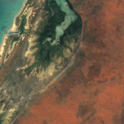
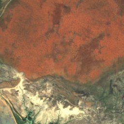
Shell Patch vista de cima
Natureza nos arredoresTodo o país
Satélite: Sentinel-2 cloudless 2016 da EOX IT Services GmbH · CC BY 4.0 · Contém dados modificados do Copernicus Sentinel (2016)
Satélite: Sentinel-2 cloudless 2016 da EOX IT Services GmbH · CC BY 4.0 · Contém dados modificados do Copernicus Sentinel (2016)
Satélite: Sentinel-2 cloudless 2016 da EOX IT Services GmbH · CC BY 4.0 · Contém dados modificados do Copernicus Sentinel (2016)



Satélite: Sentinel-2 cloudless 2016 da EOX IT Services GmbH · CC BY 4.0 · Contém dados modificados do Copernicus Sentinel (2016)
Satélite: Sentinel-2 cloudless 2016 da EOX IT Services GmbH · CC BY 4.0 · Contém dados modificados do Copernicus Sentinel (2016)
Onde ficar
Cidades bem perto


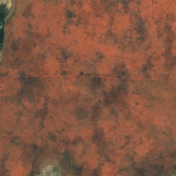
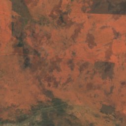

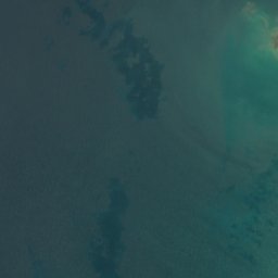
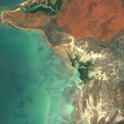
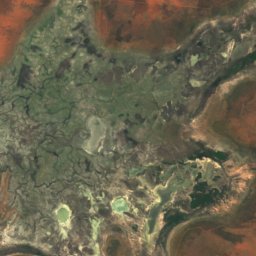
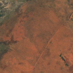

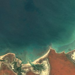
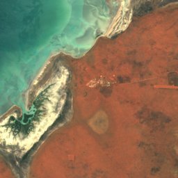
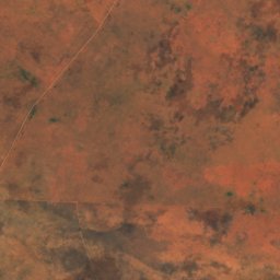
Satélite: Sentinel-2 cloudless 2016 da EOX IT Services GmbH · CC BY 4.0 · Contém dados modificados do Copernicus Sentinel (2016)
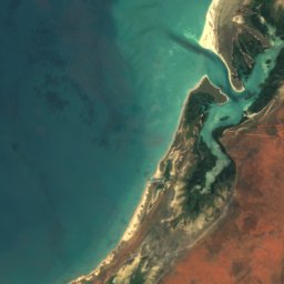
Bidyadanga Community
Western Australia · 18 km L
34°máx. em out.
0dias de chuva
64nota
Nos arredores
Bidyadanga Community e arredores
Satélite: Sentinel-2 cloudless 2016 da EOX IT Services GmbH · CC BY 4.0 · Contém dados modificados do Copernicus Sentinel (2016)
Bidyadanga Community
Western Australia · Austrália
jun.–ago.melhores meses
28°máx. em julho
12 maltitude
Natureza
Satélite: Sentinel-2 cloudless 2016 da EOX IT Services GmbH · CC BY 4.0 · Contém dados modificados do Copernicus Sentinel (2016)
Red Islet, Western Australia
Ilha · 3 m
Satélite: Sentinel-2 cloudless 2016 da EOX IT Services GmbH · CC BY 4.0 · Contém dados modificados do Copernicus Sentinel (2016)
Middle Reef, Western Australia
Ilha
Satélite: Sentinel-2 cloudless 2016 da EOX IT Services GmbH · CC BY 4.0 · Contém dados modificados do Copernicus Sentinel (2016)
Outer Reef, Western Australia
Ilha