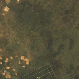
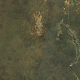
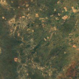
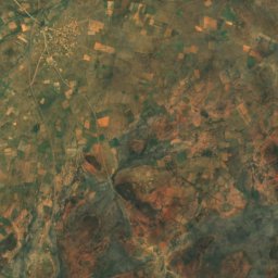
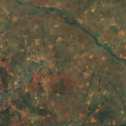
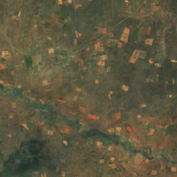
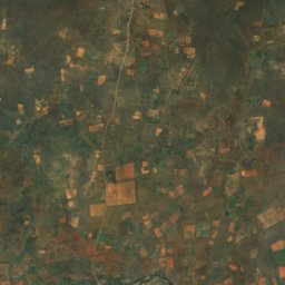
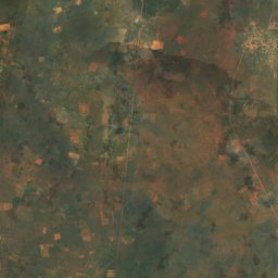
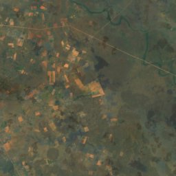
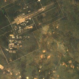
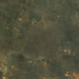
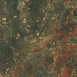
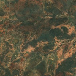
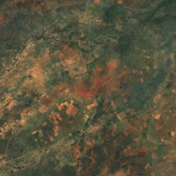
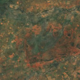
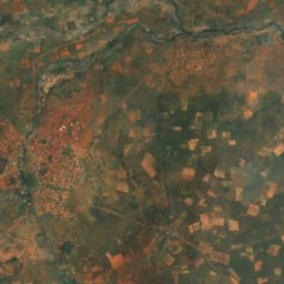
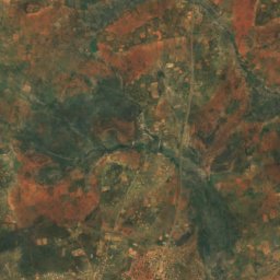
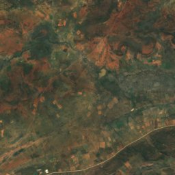
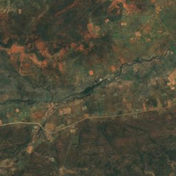
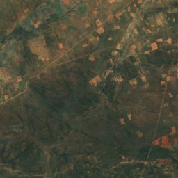
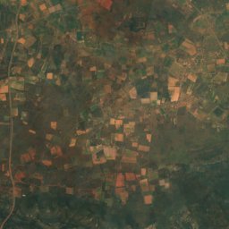
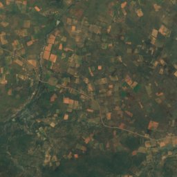
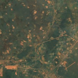
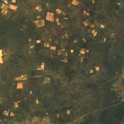
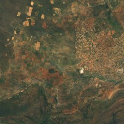
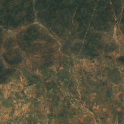
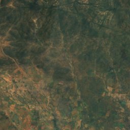
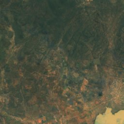
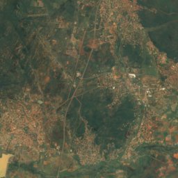
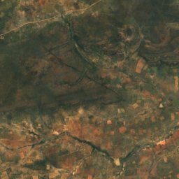
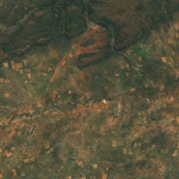
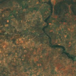
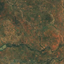
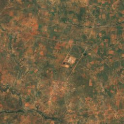
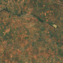
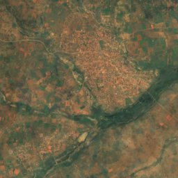
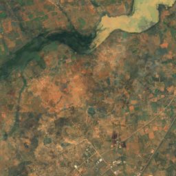
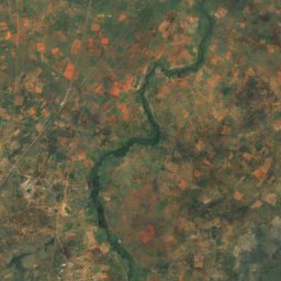
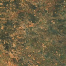
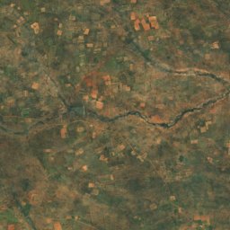
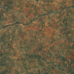
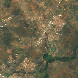
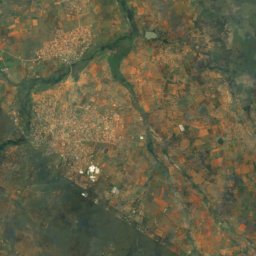
Satellit: Sentinel-2 cloudless 2016 by EOX IT Services GmbH · CC BY 4.0 · Contains modified Copernicus Sentinel data 2016
Kweneng · BotsuanaGipfelwetter, Vorhersage und Klima
Mmakanke
1.312 m
Höhe1.312 müber dem Meer
Schartenhöhe–eigenständige Höhe
Dominanz44 kmbis zu einem höheren Gipfel
Gipfel, Juli20°mittleres Maximum
24,42° S, 25,73° OHöhe 1.312 mUTC+2 · Zentralafrikanische Zeit
Vom Tal zum Gipfel
- Gipfel1.312 m
- Mittlere Höhe1.150 m
- Tal · Metsemotlhaba996 m
Nullgradgrenze im Oktober: über dem Gipfel
iDer Berg
Mmakanke in Kürze
Mmakanke ist 1.312 m hoch und liegt in der Region Kweneng in Botsuana.
Am Gipfel ist der Dezember der mildeste Monat mit durchschnittlichen Höchstwerten von 30°; Frostnächte sind selten.
Nächster Ort ist Lenchwe Le Tau, 12 km in Richtung O auf 1.107 m Höhe.
iiWetter
Wetter in drei Höhen
Die Temperaturen sind an jede Höhe angepasst; am Gipfel ist es meist kälter und windiger, als die Talvorhersage vermuten lässt.
Aktuelle Vorhersage wird geladen …
Aktuelle Vorhersage wird geladen …
Aktuelle Vorhersage wird geladen …
iiiGipfelklima
Mmakanke: das Gipfelklima nach Monaten
Temperatur und Niederschlag am Gipfel
Klimamittel für den Gipfelbereich (~1-km-Raster), an Stationen angeglichen| Monat | Jan. | Feb. | März | Apr. | Mai | Juni | Juli | Aug. | Sep. | Okt. | Nov. | Dez. |
|---|---|---|---|---|---|---|---|---|---|---|---|---|
| Mittleres Maximum | 30° | 29° | 28° | 26° | 23° | 20° | 20° | 23° | 28° | 29° | 30° | 30° |
| Mittleres Minimum | 19° | 19° | 17° | 14° | 9° | 6° | 5° | 8° | 12° | 15° | 17° | 18° |
| Niederschlag | 86 mm | 81 mm | 63 mm | 26 mm | 11 mm | 8 mm | 1 mm | 2 mm | 8 mm | 37 mm | 71 mm | 71 mm |
| Bewölkung | 29 % | 25 % | 22 % | 17 % | 9 % | 8 % | 7 % | 7 % | 11 % | 21 % | 29 % | 30 % |
| Tageslicht | 13h 29 | 12h 55 | 12h 15 | 11h 32 | 10h 57 | 10h 38 | 10h 45 | 11h 15 | 11h 56 | 12h 38 | 13h 17 | 13h 38 |
| Monats-Score | 55 | 59 | 70 | 91 | 97 | 98 | 100 | 99 | 87 | 72 | 60 | 59 |
Schnee und Nullgradgrenze
Mittlere Höhe der 0-°C-Grenze aus den Gipfelwerten (6,5 °C pro km); Schneemonate haben am Gipfel ein Mittel von höchstens +1 °C| Monat | Jan. | Feb. | März | Apr. | Mai | Juni | Juli | Aug. | Sep. | Okt. | Nov. | Dez. |
|---|---|---|---|---|---|---|---|---|---|---|---|---|
| Nullgradgrenze | 5.100 m | 5.000 m | 4.750 m | 4.300 m | 3.800 m | 3.300 m | 3.250 m | 3.700 m | 4.350 m | 4.750 m | 4.900 m | 5.050 m |
| Gipfel | über 0 °C | über 0 °C | über 0 °C | über 0 °C | über 0 °C | über 0 °C | über 0 °C | über 0 °C | über 0 °C | über 0 °C | über 0 °C | über 0 °C |
ivGelände
Mmakanke in 3D
vNachbarn
Berge in BotsuanaGipfel in der Nähe
| Berg | Höhe | Schartenhöhe | Entfernung | Gipfel, max. im Juli |
|---|---|---|---|---|
| Lenchwe Le Tau Kop | 1.217 m | – | 13 km NO | 20° |
| Mahukhutswane Hills | 1.194 m | – | 14 km W | 20° |
| Sekolong | 1.162 m | – | 12 km NW | 20° |
| Mapudinyane Ridge | 1.150 m | – | 20 km W | 20° |
| Mmamarobole Hills | 1.147 m | – | 9,1 km NW | 20° |
| Semarule Hills | 1.136 m | – | 17 km W | 20° |
| Matlhabanelo Hill | 1.116 m | – | 13 km W | 20° |
| Gakobakwe Hill | 1.111 m | – | 21 km W | 20° |
viTalorte
Übernachten in der Nähe
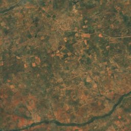
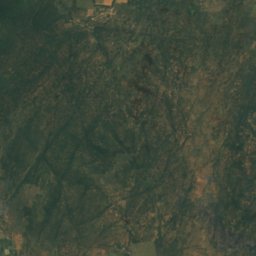
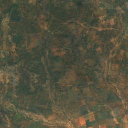
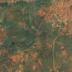
Satellit: Sentinel-2 cloudless 2016 by EOX IT Services GmbH · CC BY 4.0 · Contains modified Copernicus Sentinel data 2016
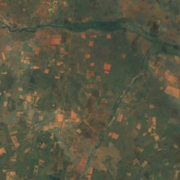
Lenchwe Le Tau
Kweneng · 12 km O
30°max. Okt.
5Regentage
70Score
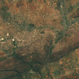
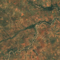
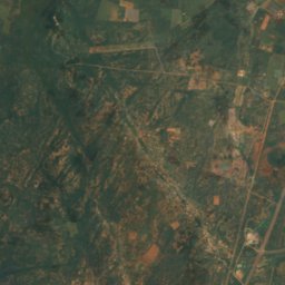
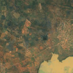
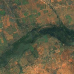
Satellit: Sentinel-2 cloudless 2016 by EOX IT Services GmbH · CC BY 4.0 · Contains modified Copernicus Sentinel data 2016
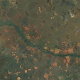
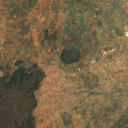
Metsemotlhaba
Kweneng · 16 km SO
30°max. Okt.
5Regentage
66Score
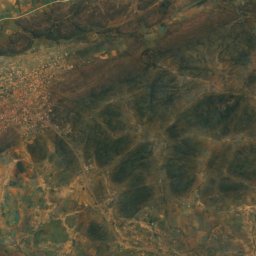
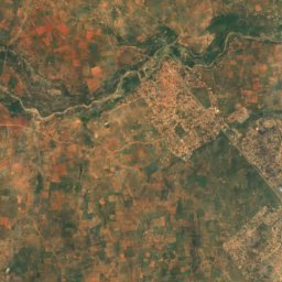
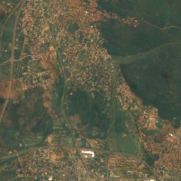
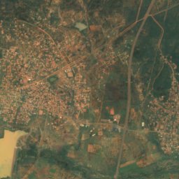
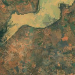
Satellit: Sentinel-2 cloudless 2016 by EOX IT Services GmbH · CC BY 4.0 · Contains modified Copernicus Sentinel data 2016
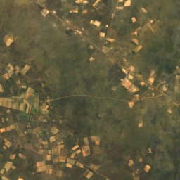
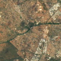
Kopong
South-East · 17 km SO
30°max. Okt.
5Regentage
66Score
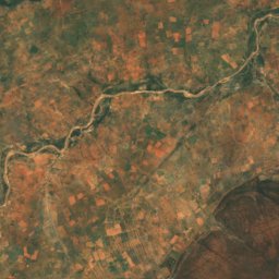
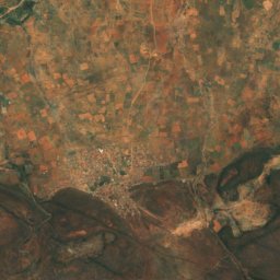
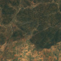
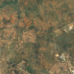
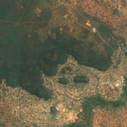
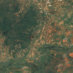
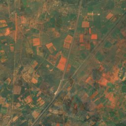
Satellit: Sentinel-2 cloudless 2016 by EOX IT Services GmbH · CC BY 4.0 · Contains modified Copernicus Sentinel data 2016
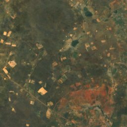
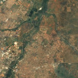
Gaphatshwe
Kweneng · 20 km SO
30°max. Okt.
5Regentage
66Score
In der Umgebung
Lenchwe Le Tau und Umgebung
Satellit: Sentinel-2 cloudless 2016 by EOX IT Services GmbH · CC BY 4.0 · Contains modified Copernicus Sentinel data 2016
Lenchwe Le Tau
Kweneng · Botsuana
Mai · Juli–Aug.beste Monate
20°max. im Juli
1.107 mHöhe
Natur
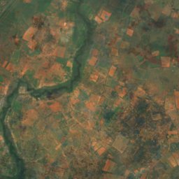
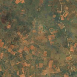
Satellit: Sentinel-2 cloudless 2016 by EOX IT Services GmbH · CC BY 4.0 · Contains modified Copernicus Sentinel data 2016
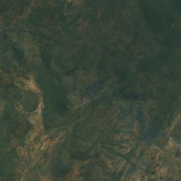
Noka ya Metsimotlhabe
Fluss
Berge


Satellit: Sentinel-2 cloudless 2016 by EOX IT Services GmbH · CC BY 4.0 · Contains modified Copernicus Sentinel data 2016
Lenchwe Le Tau Kop
1.217 m
Satellit: Sentinel-2 cloudless 2016 by EOX IT Services GmbH · CC BY 4.0 · Contains modified Copernicus Sentinel data 2016
Mahukhutswane Hills
1.194 m