Przyroda
Woda, lód i dzika przyroda Timoru Wschodniego
Jeziora, wodospady, lodowce, parki narodowe i schroniska górskie – każde z położeniem, wielkością i pogodą w pobliskich miejscowościach.
Jeziora13z własną stroną
Wodospady2z własną stroną
Parki narodowe2z własną stroną
Plaże7z własną stroną

Zdjęcie: yeowatzup · CC BY 2.0 · Wikimedia CommonsZgłoś to zdjęcie · wyświetlane przez odnośnik, nie kopiowane
Jeziora
Jeziora Timoru Wschodniego

Zdjęcie: yeowatzup · CC BY 2.0 · Wikimedia CommonsZgłoś to zdjęcie · wyświetlane przez odnośnik, nie kopiowane
Tasi-Tolu
Dili, Dili Municipality

Zdjęcie: Alex Castro · CC BY 2.0 · Wikimedia CommonsZgłoś to zdjęcie · wyświetlane przez odnośnik, nie kopiowane
Maubara Lake
Maubara, Liquiçá
1 m
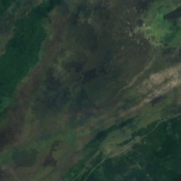
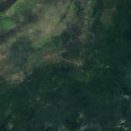
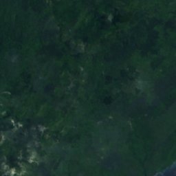
Satelita: Sentinel-2 cloudless 2016 – EOX IT Services GmbH · CC BY 4.0 · Zawiera zmodyfikowane dane Copernicus Sentinel (2016)
Ira Lalaro
Tutuala, Lautém
318 m




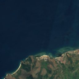



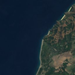
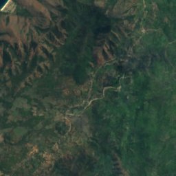



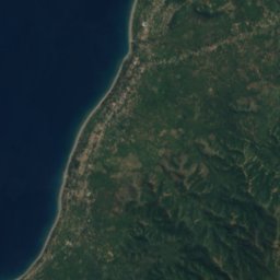
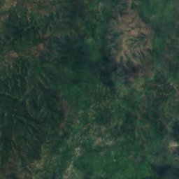
Satelita: Sentinel-2 cloudless 2016 – EOX IT Services GmbH · CC BY 4.0 · Zawiera zmodyfikowane dane Copernicus Sentinel (2016)
Lake Be Malae
Maliana, Bobonaro






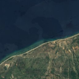
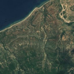
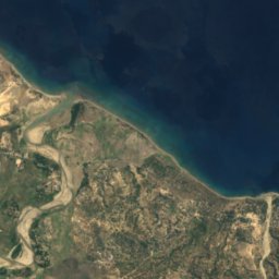
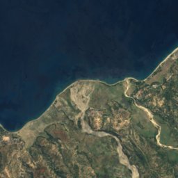
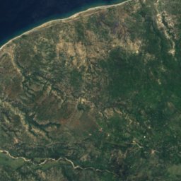
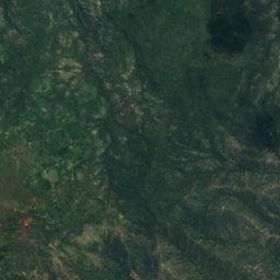
Satelita: Sentinel-2 cloudless 2016 – EOX IT Services GmbH · CC BY 4.0 · Zawiera zmodyfikowane dane Copernicus Sentinel (2016)
Lagoa Laram
Laga, Baucau
0,1 km²
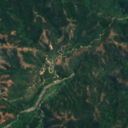
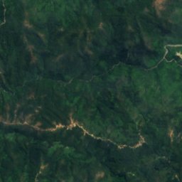
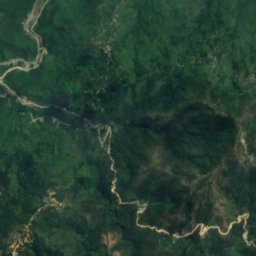
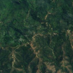
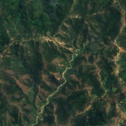
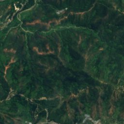
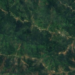
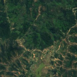
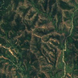
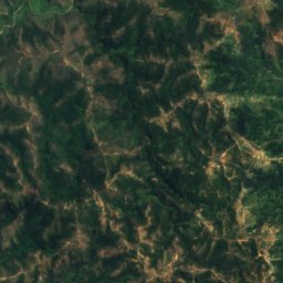
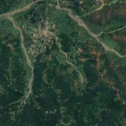
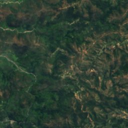
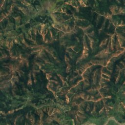
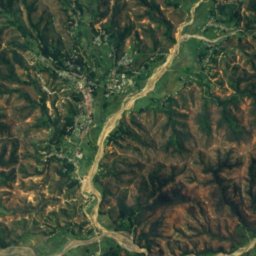
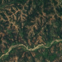
Satelita: Sentinel-2 cloudless 2016 – EOX IT Services GmbH · CC BY 4.0 · Zawiera zmodyfikowane dane Copernicus Sentinel (2016)
Lago Seloi
Aileu, Aileu
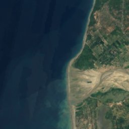
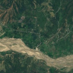
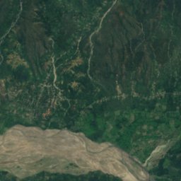
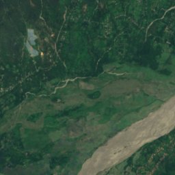
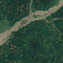
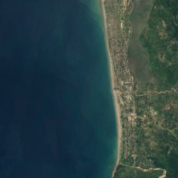
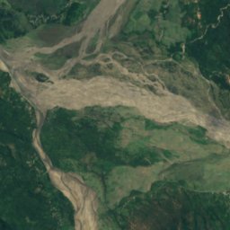
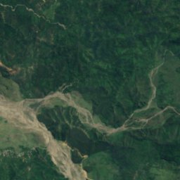
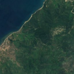
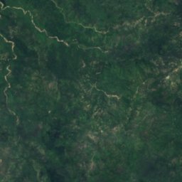
Satelita: Sentinel-2 cloudless 2016 – EOX IT Services GmbH · CC BY 4.0 · Zawiera zmodyfikowane dane Copernicus Sentinel (2016)
Tapo Heleço
Maliana, Bobonaro
0,0 km²
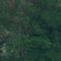
Satelita: Sentinel-2 cloudless 2016 – EOX IT Services GmbH · CC BY 4.0 · Zawiera zmodyfikowane dane Copernicus Sentinel (2016)
Be Malai
Maliana, Bobonaro
1 m
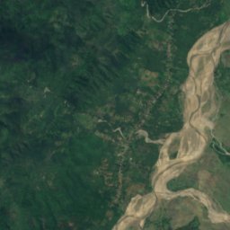
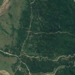
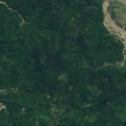
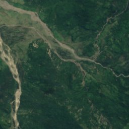
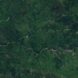
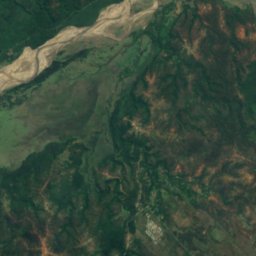
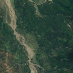
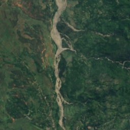
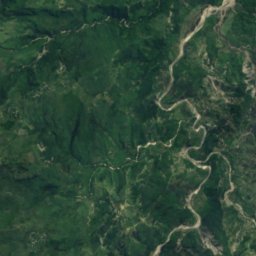
Satelita: Sentinel-2 cloudless 2016 – EOX IT Services GmbH · CC BY 4.0 · Zawiera zmodyfikowane dane Copernicus Sentinel (2016)
Danau Lagarbesi
Atsabe, Ermera
Wodospady
Wodospady Timoru Wschodniego

Zdjęcie: Isabel Nolasco · CC BY-SA 4.0 · Wikimedia CommonsZgłoś to zdjęcie · wyświetlane przez odnośnik, nie kopiowane
Berloi Waterfall
Dare, Dili Municipality
541 m
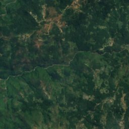
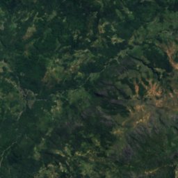
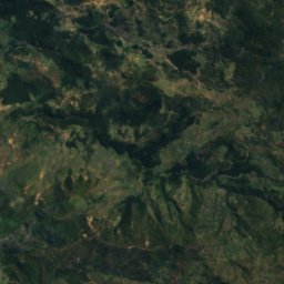
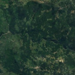
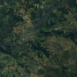
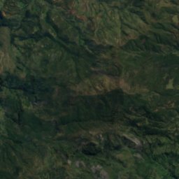
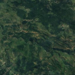
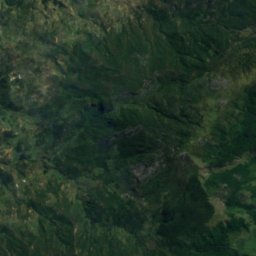
Satelita: Sentinel-2 cloudless 2016 – EOX IT Services GmbH · CC BY 4.0 · Zawiera zmodyfikowane dane Copernicus Sentinel (2016)
Bandeira Waterfall
Atsabe, Ermera
Parki narodowe
Parki narodowe Timoru Wschodniego
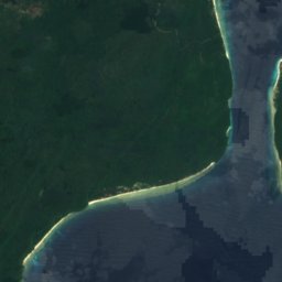
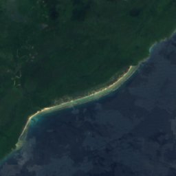
Satelita: Sentinel-2 cloudless 2016 – EOX IT Services GmbH · CC BY 4.0 · Zawiera zmodyfikowane dane Copernicus Sentinel (2016)
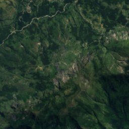
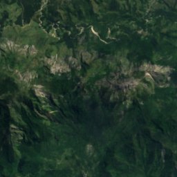
Parque Nacional Nino Konis Santana
Tutuala, Lautém
123 600 km²
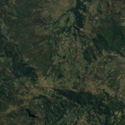
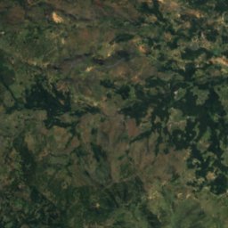
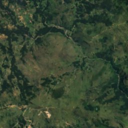
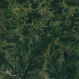
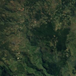
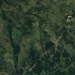
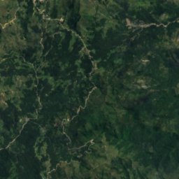
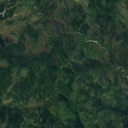
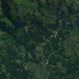
Satelita: Sentinel-2 cloudless 2016 – EOX IT Services GmbH · CC BY 4.0 · Zawiera zmodyfikowane dane Copernicus Sentinel (2016)
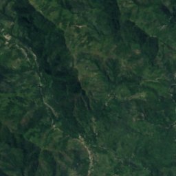
Parque Nacional Kay Rala Xanana Gusmão
Same, Manufahi
12 623 km²
Plaże
Plaże Timoru Wschodniego

Zdjęcie: Bahnfrend · CC BY-SA 4.0 · Wikimedia CommonsZgłoś to zdjęcie · wyświetlane przez odnośnik, nie kopiowane
Areia Branca beach and hinterland
Dili, Dili Municipality

Zdjęcie: Bahnfrend · CC BY-SA 4.0 · Wikimedia CommonsZgłoś to zdjęcie · wyświetlane przez odnośnik, nie kopiowane
Cristo Rei beach
Dili, Dili Municipality

Zdjęcie: Bahnfrend · CC BY-SA 4.0 · Wikimedia CommonsZgłoś to zdjęcie · wyświetlane przez odnośnik, nie kopiowane
Areia Branca Beach
Dili, Dili Municipality

Zdjęcie: Bahnfrend · CC BY-SA 4.0 · Wikimedia CommonsZgłoś to zdjęcie · wyświetlane przez odnośnik, nie kopiowane
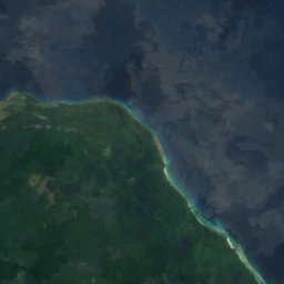
Bubble Beach
Likisá, Liquiçá




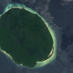

Satelita: Sentinel-2 cloudless 2016 – EOX IT Services GmbH · CC BY 4.0 · Zawiera zmodyfikowane dane Copernicus Sentinel (2016)
Valu Beach
Tutuala, Lautém








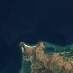
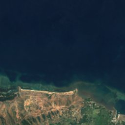
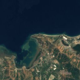
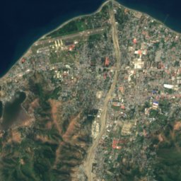
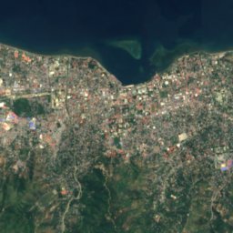
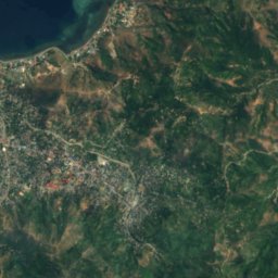
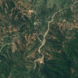
Satelita: Sentinel-2 cloudless 2016 – EOX IT Services GmbH · CC BY 4.0 · Zawiera zmodyfikowane dane Copernicus Sentinel (2016)
Dolok Oan Beach
Dili, Dili Municipality







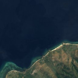
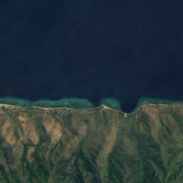
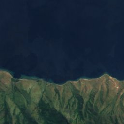
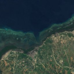
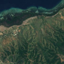
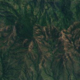
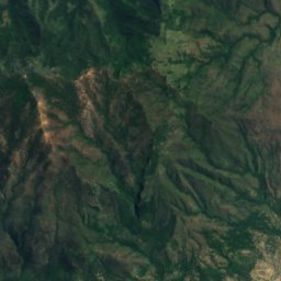
Satelita: Sentinel-2 cloudless 2016 – EOX IT Services GmbH · CC BY 4.0 · Zawiera zmodyfikowane dane Copernicus Sentinel (2016)
One Dollar Beach
Laclo, Manatuto
Wyspy
Wyspy Timoru Wschodniego

Zdjęcie: Unknown author · Public domain · Wikimedia CommonsZgłoś to zdjęcie · wyświetlane przez odnośnik, nie kopiowane
Timor
Maliana, Bobonaro
2963 m

Zdjęcie: Andidut at English Wikipedia · CC BY-SA 3.0 · Wikimedia CommonsZgłoś to zdjęcie · wyświetlane przez odnośnik, nie kopiowane
Jaco
Tutuala, Lautém


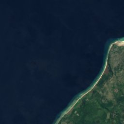
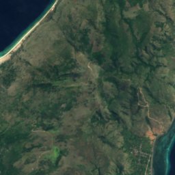
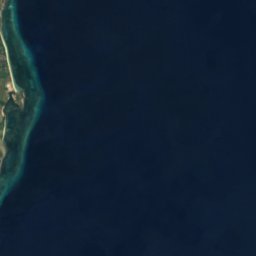

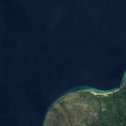
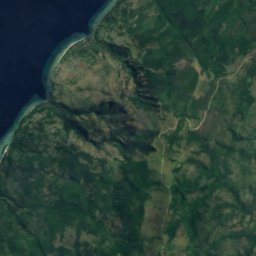
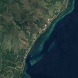

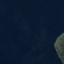
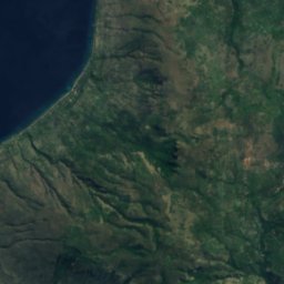
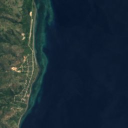

Satelita: Sentinel-2 cloudless 2016 – EOX IT Services GmbH · CC BY 4.0 · Zawiera zmodyfikowane dane Copernicus Sentinel (2016)
Atauro
Atauro, Dili Municipality
Satelita: Sentinel-2 cloudless 2016 – EOX IT Services GmbH · CC BY 4.0 · Zawiera zmodyfikowane dane Copernicus Sentinel (2016)
Jaco Island
Tutuala, Lautém
Jaskinie
Jaskinie Timoru Wschodniego




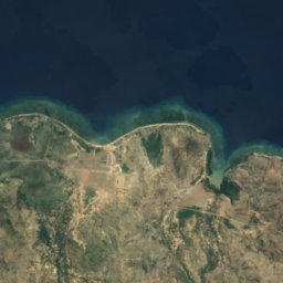
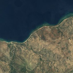
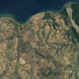
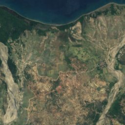
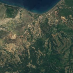
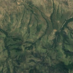
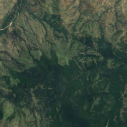
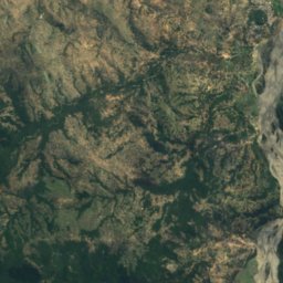
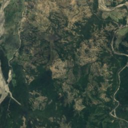
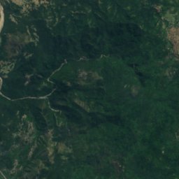
Satelita: Sentinel-2 cloudless 2016 – EOX IT Services GmbH · CC BY 4.0 · Zawiera zmodyfikowane dane Copernicus Sentinel (2016)
Gua Laili
Manatuto, Manatuto
Satelita: Sentinel-2 cloudless 2016 – EOX IT Services GmbH · CC BY 4.0 · Zawiera zmodyfikowane dane Copernicus Sentinel (2016)
Lene Hara cave
Tutuala, Lautém
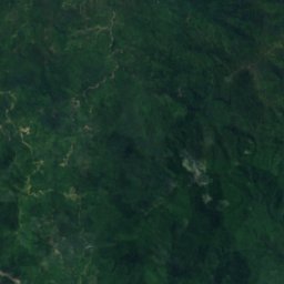
Rzeki
Rzeki Timoru Wschodniego


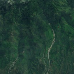




Satelita: Sentinel-2 cloudless 2016 – EOX IT Services GmbH · CC BY 4.0 · Zawiera zmodyfikowane dane Copernicus Sentinel (2016)
Loes
Maubara, Liquiçá



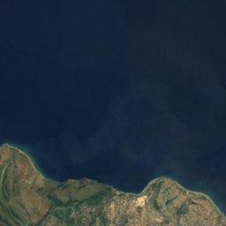

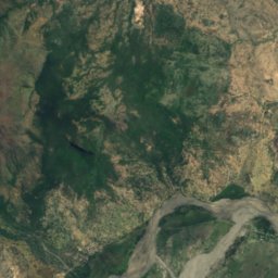
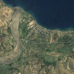
Satelita: Sentinel-2 cloudless 2016 – EOX IT Services GmbH · CC BY 4.0 · Zawiera zmodyfikowane dane Copernicus Sentinel (2016)
Laclo Północne
Manatuto, Manatuto



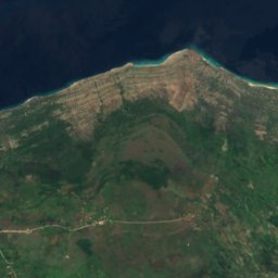
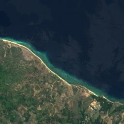
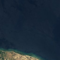
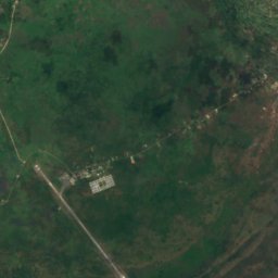
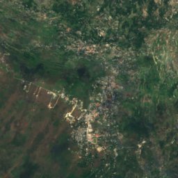
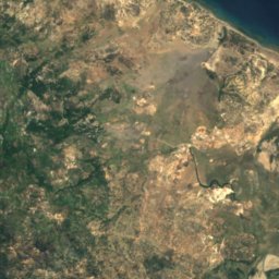
Satelita: Sentinel-2 cloudless 2016 – EOX IT Services GmbH · CC BY 4.0 · Zawiera zmodyfikowane dane Copernicus Sentinel (2016)
Sungai Seiçal
Laga, Baucau


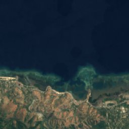
Satelita: Sentinel-2 cloudless 2016 – EOX IT Services GmbH · CC BY 4.0 · Zawiera zmodyfikowane dane Copernicus Sentinel (2016)
Ribeira de Comoro
Dili, Dili Municipality
4 m
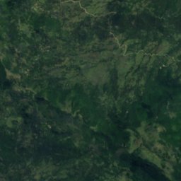
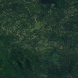
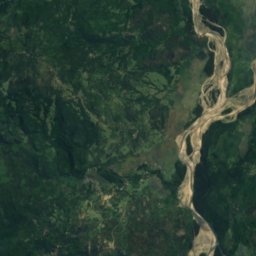
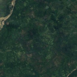
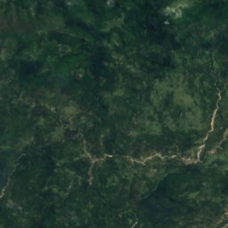
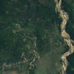
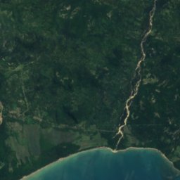
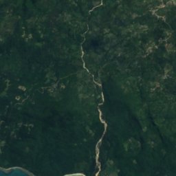
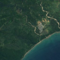

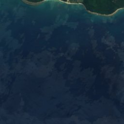
Satelita: Sentinel-2 cloudless 2016 – EOX IT Services GmbH · CC BY 4.0 · Zawiera zmodyfikowane dane Copernicus Sentinel (2016)
Irebere River
Irabin de Baixo, Viqueque
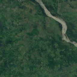
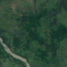
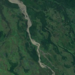
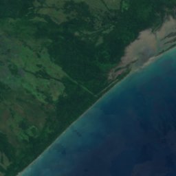
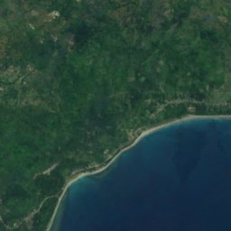
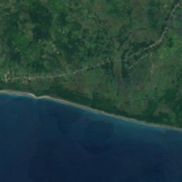
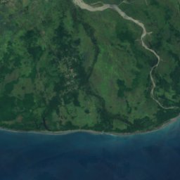
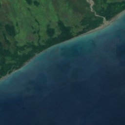




Satelita: Sentinel-2 cloudless 2016 – EOX IT Services GmbH · CC BY 4.0 · Zawiera zmodyfikowane dane Copernicus Sentinel (2016)
South Laclo River
Betano, Manufahi





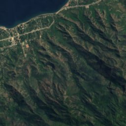
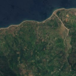
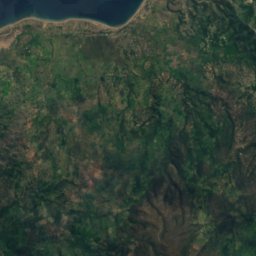
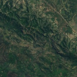
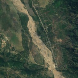
Satelita: Sentinel-2 cloudless 2016 – EOX IT Services GmbH · CC BY 4.0 · Zawiera zmodyfikowane dane Copernicus Sentinel (2016)
Tono River
Lifau, Oecusse
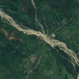
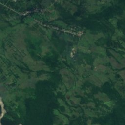
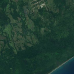
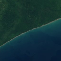
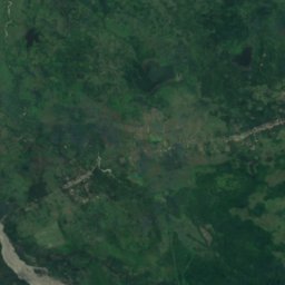
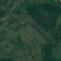
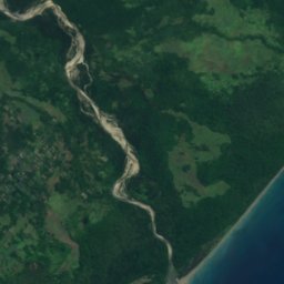
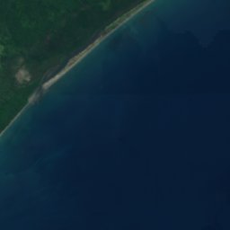

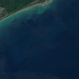


Satelita: Sentinel-2 cloudless 2016 – EOX IT Services GmbH · CC BY 4.0 · Zawiera zmodyfikowane dane Copernicus Sentinel (2016)
Sahen River
Barique, Manatuto
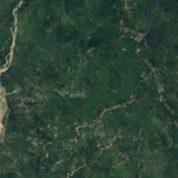
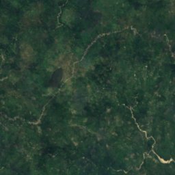
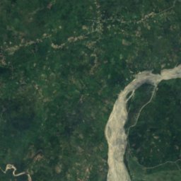
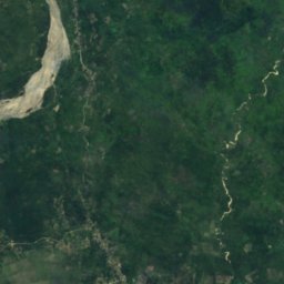
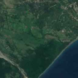
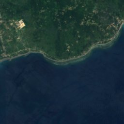
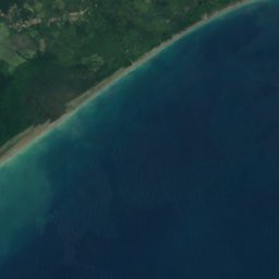
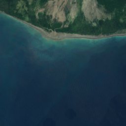
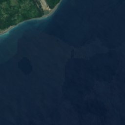



Satelita: Sentinel-2 cloudless 2016 – EOX IT Services GmbH · CC BY 4.0 · Zawiera zmodyfikowane dane Copernicus Sentinel (2016)
Caraulun River
Betano, Manufahi
2112 m