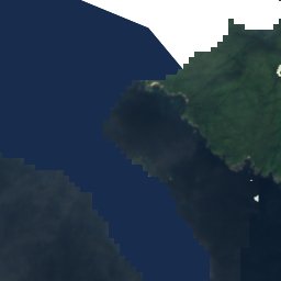
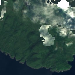
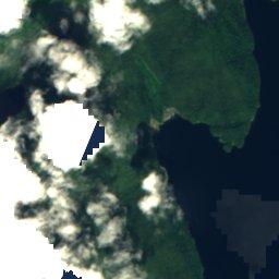
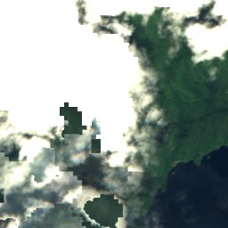
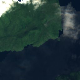
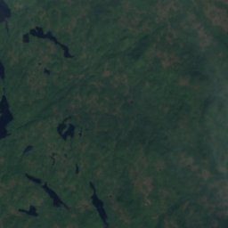
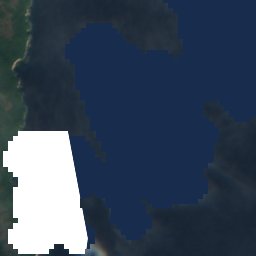

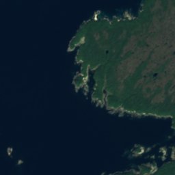
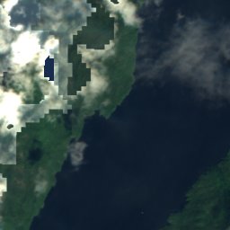
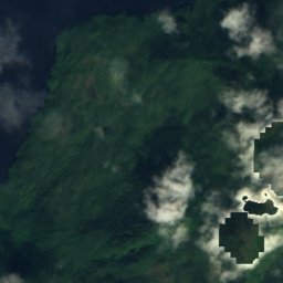
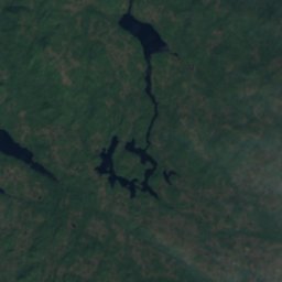
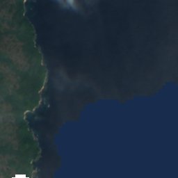
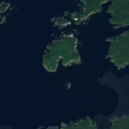
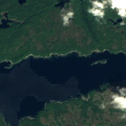
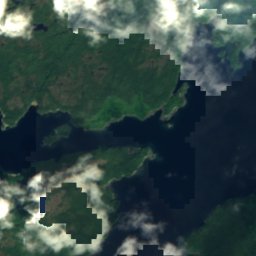
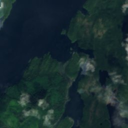
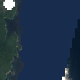

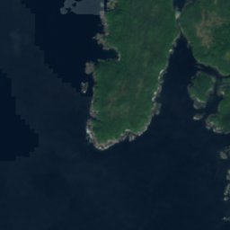
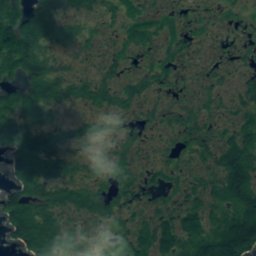
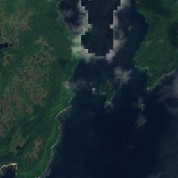
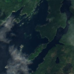
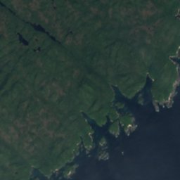
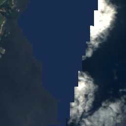

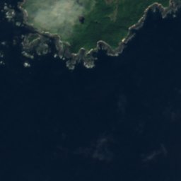
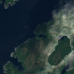
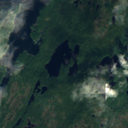
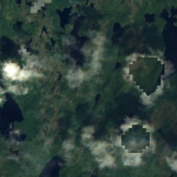
Satelita: Sentinel-2 cloudless 2016 – EOX IT Services GmbH · CC BY 4.0 · Zawiera zmodyfikowane dane Copernicus Sentinel (2016)
WyspaKlemtu, British Columbia
Kitty Patch
WyspaNajlepszy czas: cze–sie
Wysokość–n.p.m.
Powierzchnia–powierzchnia całkowita
Najbliższa miejscowośćKlemtu27 km
52,35° N, 128,45° WUTC−7 · czas pacyficzny letni
Kiedy jechaćKlemtu · ocena pogody
Najlepszy czascze–sie
październik: maks. / min.12° / 6°
Wyspa
Kitty Patch w skrócie
Kitty Patch to wyspa w Kanadzie (British Columbia), w pobliżu miejscowości Klemtu.
Najbliższa miejscowość to Klemtu, 27 km na północ; pogoda jest tam najprzyjemniejsza w tych miesiącach: czerwiec, lipiec i sierpień.
Pogoda w okolicy
Prognoza: Klemtu2°
Teraz: pochmurno
Dziś
23 paź
10°
2°
1 mm
sob.
24 paź
7°
5°
38 mm
niedz.
25 paź
11°
5°
pon.
26 paź
13°
1°
wt.
27 paź
13°
2°
Przebieg modelu 12:00 UTCAktualizowane kilka razy dziennie
Kiedy jechać
Klimat: KlemtuKitty Patch: najlepsze miesiące
Ocena miesięczna: Klemtu
Komfort, dni bez opadu i słońce · w skali do 10012
sty
14
lut
13
mar
21
kwi
43
maj
56
cze
61
lip
61
sie
56
wrz
24
paź
11
lis
12
gru
Mapa
Kitty Patch z lotu ptaka
Przyroda w okolicyCały kraj
Satelita: Sentinel-2 cloudless 2016 – EOX IT Services GmbH · CC BY 4.0 · Zawiera zmodyfikowane dane Copernicus Sentinel (2016)
Satelita: Sentinel-2 cloudless 2016 – EOX IT Services GmbH · CC BY 4.0 · Zawiera zmodyfikowane dane Copernicus Sentinel (2016)
Satelita: Sentinel-2 cloudless 2016 – EOX IT Services GmbH · CC BY 4.0 · Zawiera zmodyfikowane dane Copernicus Sentinel (2016)
Satelita: Sentinel-2 cloudless 2016 – EOX IT Services GmbH · CC BY 4.0 · Zawiera zmodyfikowane dane Copernicus Sentinel (2016)
Satelita: Sentinel-2 cloudless 2016 – EOX IT Services GmbH · CC BY 4.0 · Zawiera zmodyfikowane dane Copernicus Sentinel (2016)
Satelita: Sentinel-2 cloudless 2016 – EOX IT Services GmbH · CC BY 4.0 · Zawiera zmodyfikowane dane Copernicus Sentinel (2016)
Szczyty w okolicyGóry Kanady
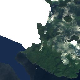
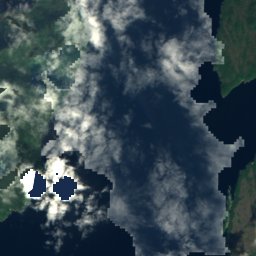
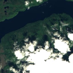
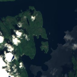
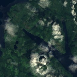
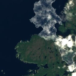
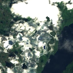
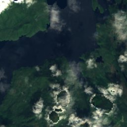
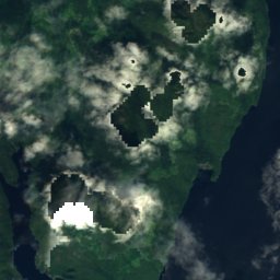
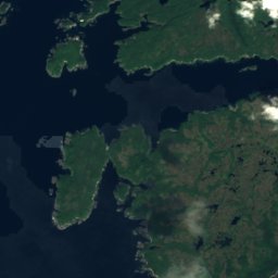
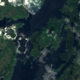
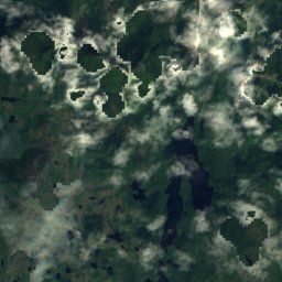
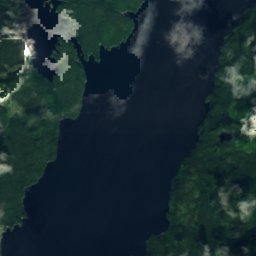
Satelita: Sentinel-2 cloudless 2016 – EOX IT Services GmbH · CC BY 4.0 · Zawiera zmodyfikowane dane Copernicus Sentinel (2016)
Satelita: Sentinel-2 cloudless 2016 – EOX IT Services GmbH · CC BY 4.0 · Zawiera zmodyfikowane dane Copernicus Sentinel (2016)
Noclegi w okolicy
Miejscowości w pobliżu

Zdjęcie: Jeansmootz · CC BY-SA 4.0 · Wikimedia CommonsZgłoś to zdjęcie · wyświetlane przez odnośnik, nie kopiowane
Klemtu
British Columbia · 27 km N
12°maks. paź
22dni z opadem
24ocena

Zdjęcie: The Interior · CC BY-SA 3.0 · Wikimedia CommonsZgłoś to zdjęcie · wyświetlane przez odnośnik, nie kopiowane
Bella Bella
British Columbia · 30 km SE
12°maks. paź
21dni z opadem
24ocena
W okolicy
Klemtu i okolice
Zdjęcie: Jeansmootz · CC BY-SA 4.0 · Wikimedia CommonsZgłoś to zdjęcie · wyświetlane przez odnośnik, nie kopiowane
Klemtu
British Columbia · Kanada
cze–sienajlepsze miesiące
20°maks. w lipcu
9 mwysokość
Przyroda
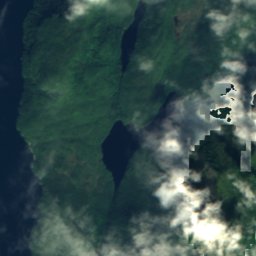
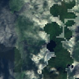
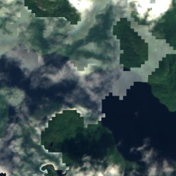
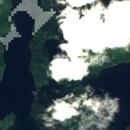
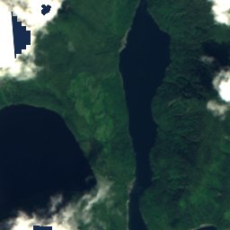
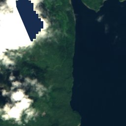
Satelita: Sentinel-2 cloudless 2016 – EOX IT Services GmbH · CC BY 4.0 · Zawiera zmodyfikowane dane Copernicus Sentinel (2016)
Roderick Lake, British Columbia
Jezioro · 69 m









Satelita: Sentinel-2 cloudless 2016 – EOX IT Services GmbH · CC BY 4.0 · Zawiera zmodyfikowane dane Copernicus Sentinel (2016)
Lac Kitasoo
Jezioro · 39 m





Satelita: Sentinel-2 cloudless 2016 – EOX IT Services GmbH · CC BY 4.0 · Zawiera zmodyfikowane dane Copernicus Sentinel (2016)
Lac Baron, British Columbia
Jezioro · 349 m
Góry
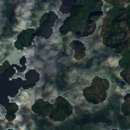
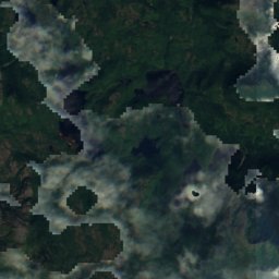
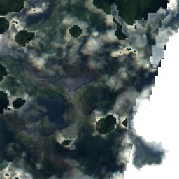


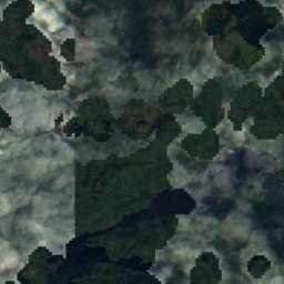
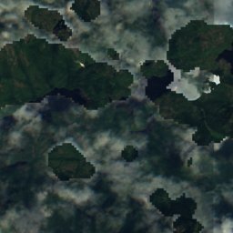


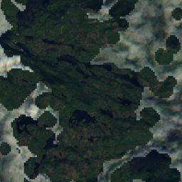
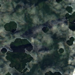


Satelita: Sentinel-2 cloudless 2016 – EOX IT Services GmbH · CC BY 4.0 · Zawiera zmodyfikowane dane Copernicus Sentinel (2016)
Mount Parry
1061 m
Satelita: Sentinel-2 cloudless 2016 – EOX IT Services GmbH · CC BY 4.0 · Zawiera zmodyfikowane dane Copernicus Sentinel (2016)
Helmet Peak
335 m
Satelita: Sentinel-2 cloudless 2016 – EOX IT Services GmbH · CC BY 4.0 · Zawiera zmodyfikowane dane Copernicus Sentinel (2016)
Milbanke Sound Group
335 m
Zabytki

Zdjęcie: Michael Bemmerl · CC BY 3.0 de · Wikimedia CommonsZgłoś to zdjęcie · wyświetlane przez odnośnik, nie kopiowane

Phare de Boat Bluff
1907