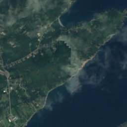
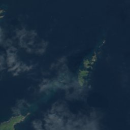

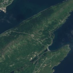

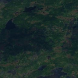
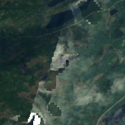
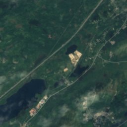
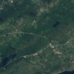
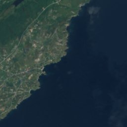

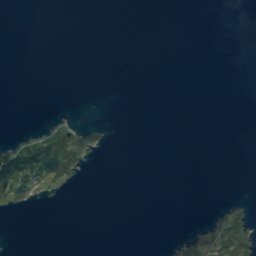
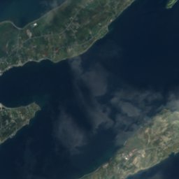
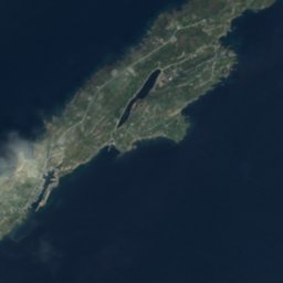


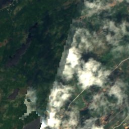
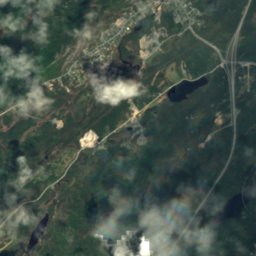
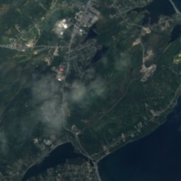
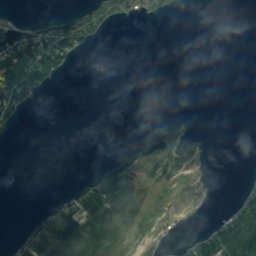
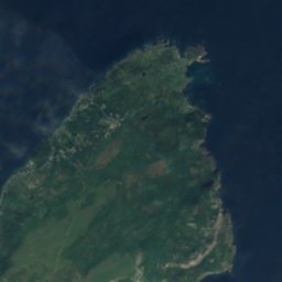


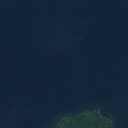
Satelita: Sentinel-2 cloudless 2016 – EOX IT Services GmbH · CC BY 4.0 · Zawiera zmodyfikowane dane Copernicus Sentinel (2016)
WyspaUpper Island Cove, Newfoundland and Labrador
Chains
WyspaNajlepszy czas: lip–wrz
Wysokość–n.p.m.
Powierzchnia–powierzchnia całkowita
Najbliższa miejscowośćUpper Island Cove5,2 km
47,61° N, 53,18° WUTC−2:30 · Nowa Fundlandia (czas letni)
Kiedy jechaćUpper Island Cove · ocena pogody
Najlepszy czaslip–wrz
październik: maks. / min.10° / 7°
Wyspa
Chains w skrócie
Chains to wyspa w Kanadzie (Newfoundland and Labrador), w pobliżu miejscowości Upper Island Cove.
Najbliższa miejscowość to Upper Island Cove, 5,2 km na północny zachód; pogoda jest tam najprzyjemniejsza w tych miesiącach: lipiec, sierpień i wrzesień.
Pogoda w okolicy
Prognoza: Upper Island Cove2°
Teraz: bezchmurnie
Dziś
25 paź
9°
1°
pon.
26 paź
12°
6°
wt.
27 paź
8°
2°
2 mm
śr.
28 paź
2°
0°
czw.
29 paź
7°
-1°
Przebieg modelu 12:00 UTCAktualizowane kilka razy dziennie
Kiedy jechać
Klimat: Upper Island CoveChains: najlepsze miesiące
Ocena miesięczna: Upper Island Cove
Komfort, dni bez opadu i słońce · w skali do 10014
sty
13
lut
15
mar
14
kwi
15
maj
23
cze
50
lip
57
sie
43
wrz
17
paź
15
lis
13
gru
Mapa
Chains z lotu ptaka
Przyroda w okolicyCały kraj
Satelita: Sentinel-2 cloudless 2016 – EOX IT Services GmbH · CC BY 4.0 · Zawiera zmodyfikowane dane Copernicus Sentinel (2016)
Satelita: Sentinel-2 cloudless 2016 – EOX IT Services GmbH · CC BY 4.0 · Zawiera zmodyfikowane dane Copernicus Sentinel (2016)
Satelita: Sentinel-2 cloudless 2016 – EOX IT Services GmbH · CC BY 4.0 · Zawiera zmodyfikowane dane Copernicus Sentinel (2016)
Satelita: Sentinel-2 cloudless 2016 – EOX IT Services GmbH · CC BY 4.0 · Zawiera zmodyfikowane dane Copernicus Sentinel (2016)
Satelita: Sentinel-2 cloudless 2016 – EOX IT Services GmbH · CC BY 4.0 · Zawiera zmodyfikowane dane Copernicus Sentinel (2016)
Satelita: Sentinel-2 cloudless 2016 – EOX IT Services GmbH · CC BY 4.0 · Zawiera zmodyfikowane dane Copernicus Sentinel (2016)
Szczyty w okolicyGóry Kanady
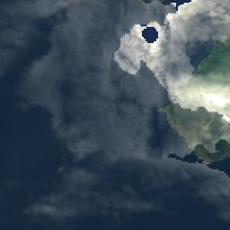
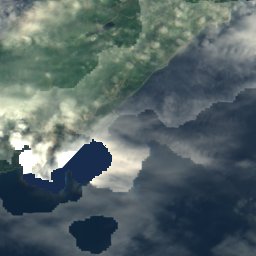
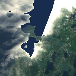
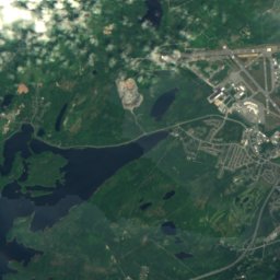

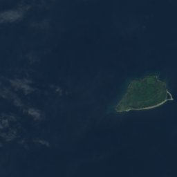
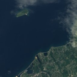
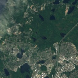
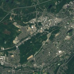
Satelita: Sentinel-2 cloudless 2016 – EOX IT Services GmbH · CC BY 4.0 · Zawiera zmodyfikowane dane Copernicus Sentinel (2016)


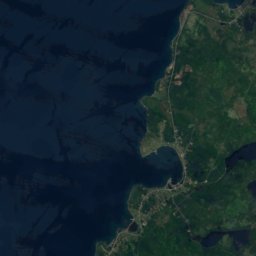
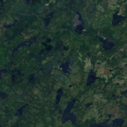
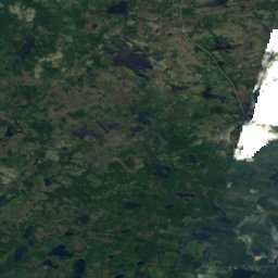

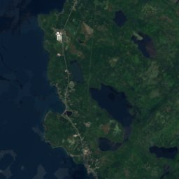
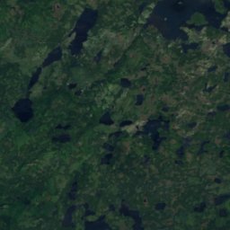
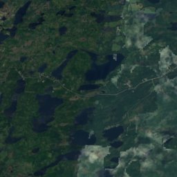
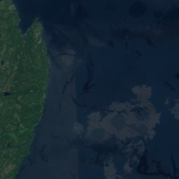
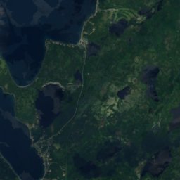
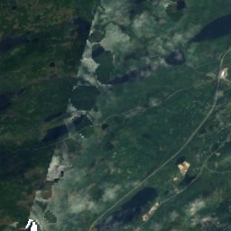
Satelita: Sentinel-2 cloudless 2016 – EOX IT Services GmbH · CC BY 4.0 · Zawiera zmodyfikowane dane Copernicus Sentinel (2016)
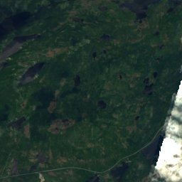
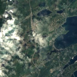
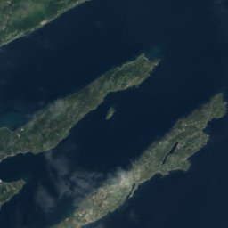
Noclegi w okolicy
Miejscowości w pobliżu

Zdjęcie: Ayadm · CC BY-SA 3.0 · Wikimedia CommonsZgłoś to zdjęcie · wyświetlane przez odnośnik, nie kopiowane
Upper Island Cove
Newfoundland and Labrador · 5,2 km NW
10°maks. paź
17dni z opadem
17ocena
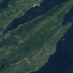
Satelita: Sentinel-2 cloudless 2016 – EOX IT Services GmbH · CC BY 4.0 · Zawiera zmodyfikowane dane Copernicus Sentinel (2016)
Bay Roberts
Newfoundland and Labrador · 6,8 km W
11°maks. paź
17dni z opadem
19ocena
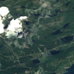
Satelita: Sentinel-2 cloudless 2016 – EOX IT Services GmbH · CC BY 4.0 · Zawiera zmodyfikowane dane Copernicus Sentinel (2016)
Bryant's Cove
Newfoundland and Labrador · 7,3 km N
10°maks. paź
17dni z opadem
19ocena

Zdjęcie: Chrisdmedia · CC BY-SA 3.0 · Wikimedia CommonsZgłoś to zdjęcie · wyświetlane przez odnośnik, nie kopiowane
Cupids
Newfoundland and Labrador · 7,4 km SW
11°maks. paź
17dni z opadem
19ocena
W okolicy
Upper Island Cove i okolice
Zdjęcie: Ayadm · CC BY-SA 3.0 · Wikimedia CommonsZgłoś to zdjęcie · wyświetlane przez odnośnik, nie kopiowane
Upper Island Cove
Newfoundland and Labrador · Kanada
lip–wrznajlepsze miesiące
16°maks. w lipcu
108 mwysokość
Przyroda
Satelita: Sentinel-2 cloudless 2016 – EOX IT Services GmbH · CC BY 4.0 · Zawiera zmodyfikowane dane Copernicus Sentinel (2016)
Jack Lears Gully
Jezioro
Satelita: Sentinel-2 cloudless 2016 – EOX IT Services GmbH · CC BY 4.0 · Zawiera zmodyfikowane dane Copernicus Sentinel (2016)
Hunts Gully
Jezioro
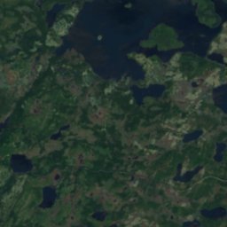
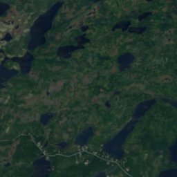
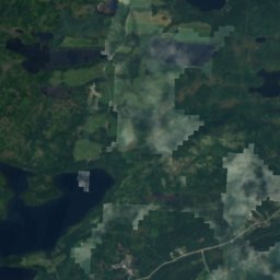
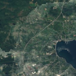
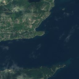
Satelita: Sentinel-2 cloudless 2016 – EOX IT Services GmbH · CC BY 4.0 · Zawiera zmodyfikowane dane Copernicus Sentinel (2016)
Lady Lake, Newfoundland and Labrador
Jezioro
Góry
Satelita: Sentinel-2 cloudless 2016 – EOX IT Services GmbH · CC BY 4.0 · Zawiera zmodyfikowane dane Copernicus Sentinel (2016)
Mother Allans Rock
170 m
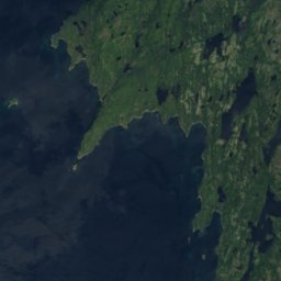
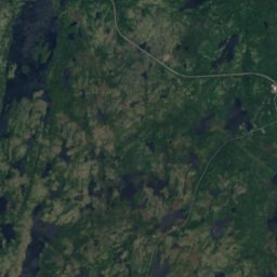
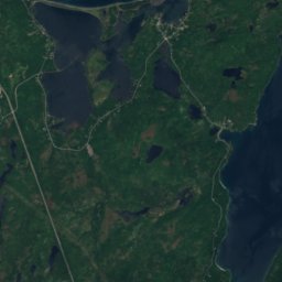
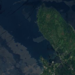
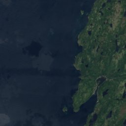
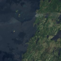
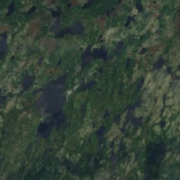
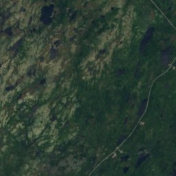
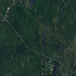
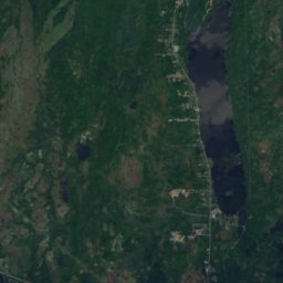
Satelita: Sentinel-2 cloudless 2016 – EOX IT Services GmbH · CC BY 4.0 · Zawiera zmodyfikowane dane Copernicus Sentinel (2016)
Normans Cove Tolt
122 m
Satelita: Sentinel-2 cloudless 2016 – EOX IT Services GmbH · CC BY 4.0 · Zawiera zmodyfikowane dane Copernicus Sentinel (2016)
Kennedys Tolt
100 m
Zabytki

Zdjęcie: Lukester878 · CC BY-SA 3.0 · Wikimedia CommonsZgłoś to zdjęcie · wyświetlane przez odnośnik, nie kopiowane
Cottage Hawthorne
1830
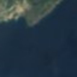


Satelita: Sentinel-2 cloudless 2016 – EOX IT Services GmbH · CC BY 4.0 · Zawiera zmodyfikowane dane Copernicus Sentinel (2016)