Przyroda
Woda, lód i dzika przyroda Ghany
Jeziora, wodospady, lodowce, parki narodowe i schroniska górskie – każde z położeniem, wielkością i pogodą w pobliskich miejscowościach.
Jeziora10z własną stroną
Wodospady13z własną stroną
Parki narodowe1z własną stroną
Plaże3z własną stroną

Zdjęcie: Boadu Emma · CC BY-SA 4.0 · Wikimedia CommonsZgłoś to zdjęcie · wyświetlane przez odnośnik, nie kopiowane
Jeziora
Jeziora Ghany

Zdjęcie: Boadu Emma · CC BY-SA 4.0 · Wikimedia CommonsZgłoś to zdjęcie · wyświetlane przez odnośnik, nie kopiowane
Mim Lake
Goaso, Ahafo
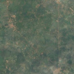
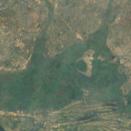
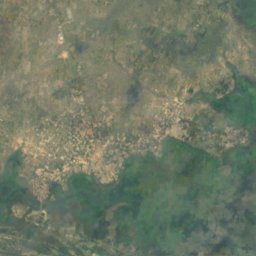
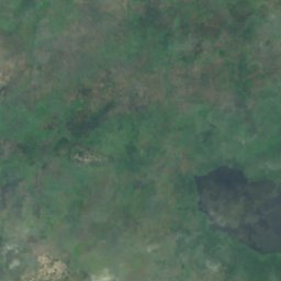
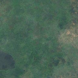
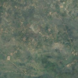
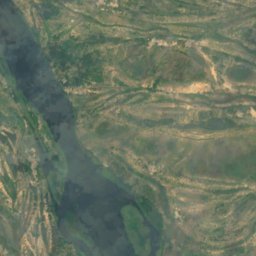
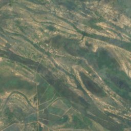
Satelita: Sentinel-2 cloudless 2016 – EOX IT Services GmbH · CC BY 4.0 · Zawiera zmodyfikowane dane Copernicus Sentinel (2016)
Avu Lagoon
Akatsi, Volta
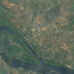
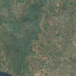
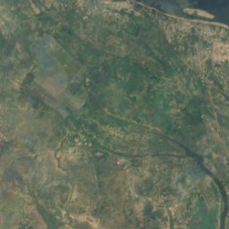
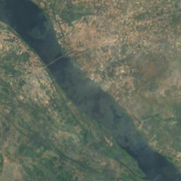
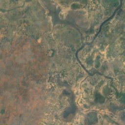
Satelita: Sentinel-2 cloudless 2016 – EOX IT Services GmbH · CC BY 4.0 · Zawiera zmodyfikowane dane Copernicus Sentinel (2016)
Eka Lagoon
Akatsi, Volta
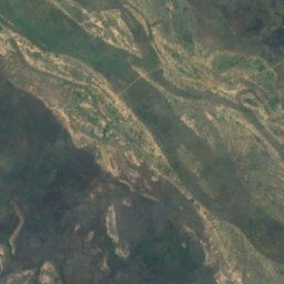
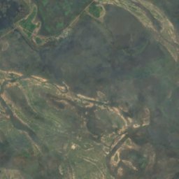
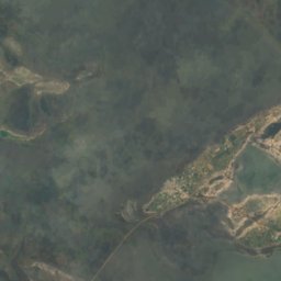
Satelita: Sentinel-2 cloudless 2016 – EOX IT Services GmbH · CC BY 4.0 · Zawiera zmodyfikowane dane Copernicus Sentinel (2016)
Logui
Anloga, Volta
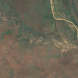
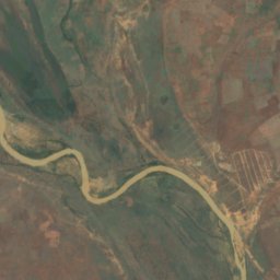
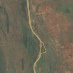
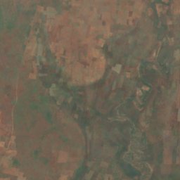
Satelita: Sentinel-2 cloudless 2016 – EOX IT Services GmbH · CC BY 4.0 · Zawiera zmodyfikowane dane Copernicus Sentinel (2016)
Mambor Lagoon
Savelugu, Northern
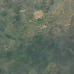
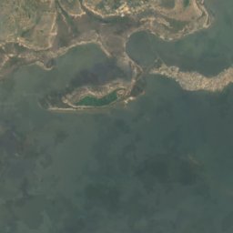

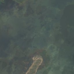
Satelita: Sentinel-2 cloudless 2016 – EOX IT Services GmbH · CC BY 4.0 · Zawiera zmodyfikowane dane Copernicus Sentinel (2016)
Nogui Lagoon
Anloga, Volta
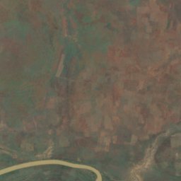
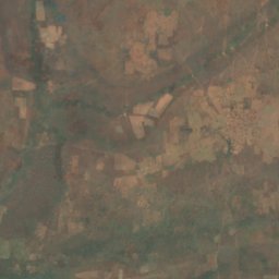
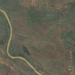
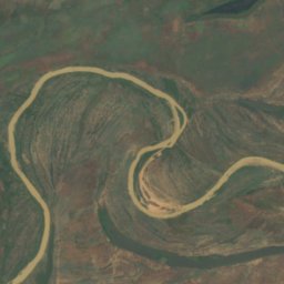
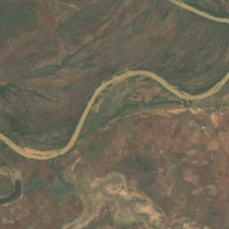
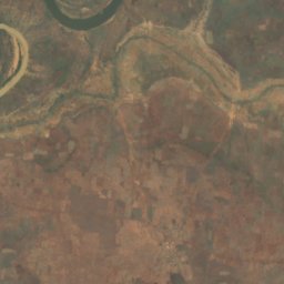
Satelita: Sentinel-2 cloudless 2016 – EOX IT Services GmbH · CC BY 4.0 · Zawiera zmodyfikowane dane Copernicus Sentinel (2016)
Yapenni Lagoon
Savelugu, Northern
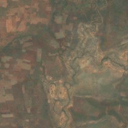
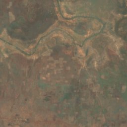
Satelita: Sentinel-2 cloudless 2016 – EOX IT Services GmbH · CC BY 4.0 · Zawiera zmodyfikowane dane Copernicus Sentinel (2016)
Zincha Lagoon
Savelugu, Northern
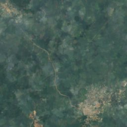

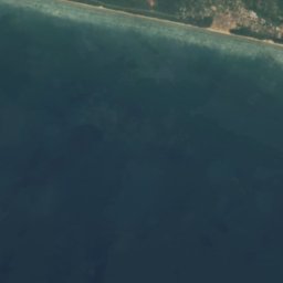
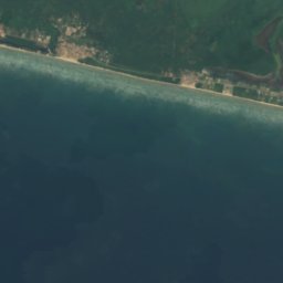
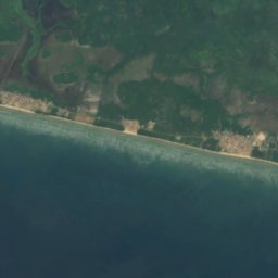
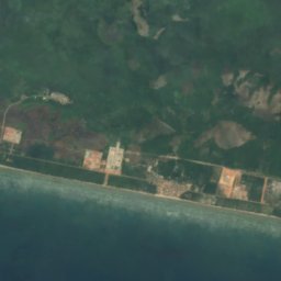
Satelita: Sentinel-2 cloudless 2016 – EOX IT Services GmbH · CC BY 4.0 · Zawiera zmodyfikowane dane Copernicus Sentinel (2016)
Amansuri Lake
Beyin, Western
64 m
Wodospady
Wodospady Ghany

Zdjęcie: Jimmynoton at English Wikipedia · CC BY-SA 3.0 · Wikimedia CommonsZgłoś to zdjęcie · wyświetlane przez odnośnik, nie kopiowane
Tagbo Tsidzaƒe
Hohoe, Volta
wysokość 60 m

Zdjęcie: Stig Nygaard · CC BY 2.0 · Wikimedia CommonsZgłoś to zdjęcie · wyświetlane przez odnośnik, nie kopiowane
Wli waterfalls
Hohoe, Volta
wysokość 80 m

Zdjęcie: Newfoundlandguy · CC0 · Wikimedia CommonsZgłoś to zdjęcie · wyświetlane przez odnośnik, nie kopiowane
Boti Falls
Koforidua, Eastern

Zdjęcie: Sean Moran · CC BY-SA 3.0 · Wikimedia CommonsZgłoś to zdjęcie · wyświetlane przez odnośnik, nie kopiowane
Kintampo waterfalls
Kintampo, Bono East

Zdjęcie: Stephen Acheampong · CC BY-SA 4.0 · Wikimedia CommonsZgłoś to zdjęcie · wyświetlane przez odnośnik, nie kopiowane
Fuller Waterfalls
Kintampo, Bono East
173 m

Zdjęcie: Benebiankie · CC BY-SA 4.0 · Wikimedia CommonsZgłoś to zdjęcie · wyświetlane przez odnośnik, nie kopiowane
Obosomase Waterfalls
Aburi, Eastern

Zdjęcie: Treysam · CC BY-SA 4.0 · Wikimedia CommonsZgłoś to zdjęcie · wyświetlane przez odnośnik, nie kopiowane
Asenema Waterfall
Akropong, Eastern

Zdjęcie: Ferraripoundz · CC BY-SA 4.0 · Wikimedia CommonsZgłoś to zdjęcie · wyświetlane przez odnośnik, nie kopiowane
Tsenku Waterfall
Aburi, Eastern
76 m
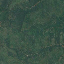
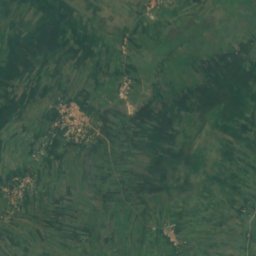
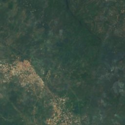
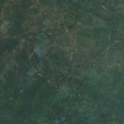
Satelita: Sentinel-2 cloudless 2016 – EOX IT Services GmbH · CC BY 4.0 · Zawiera zmodyfikowane dane Copernicus Sentinel (2016)
Akaa Falls
Koforidua, Eastern
wysokość 76 m
Parki narodowe
Parki narodowe Ghany
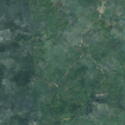
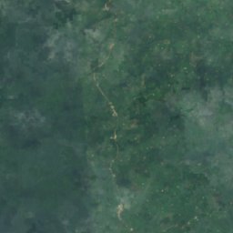
Satelita: Sentinel-2 cloudless 2016 – EOX IT Services GmbH · CC BY 4.0 · Zawiera zmodyfikowane dane Copernicus Sentinel (2016)
Nini Suhien National Park
Elubo, Western
343 km²
Plaże
Plaże Ghany

Zdjęcie: Abubakar Umar · CC BY-SA 4.0 · Wikimedia CommonsZgłoś to zdjęcie · wyświetlane przez odnośnik, nie kopiowane
Bojo Beach
Mandela, Greater Accra
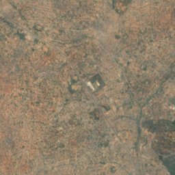
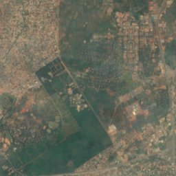
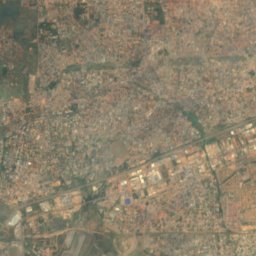
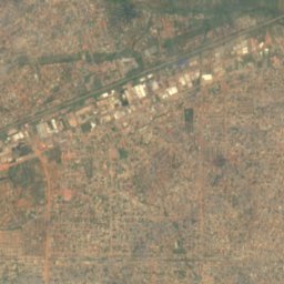
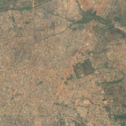
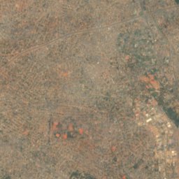
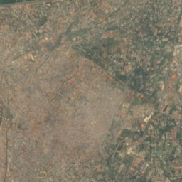
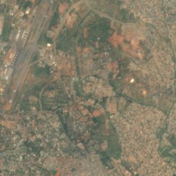
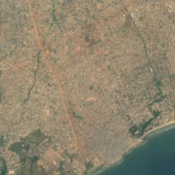
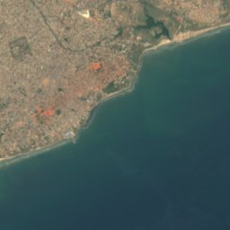
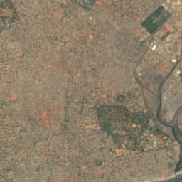
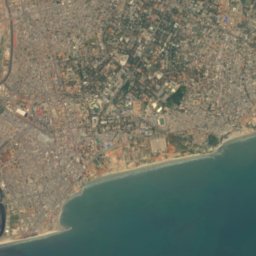
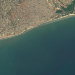

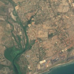
Satelita: Sentinel-2 cloudless 2016 – EOX IT Services GmbH · CC BY 4.0 · Zawiera zmodyfikowane dane Copernicus Sentinel (2016)
Labadi Beach
Accra, Greater Accra

Satelita: Sentinel-2 cloudless 2016 – EOX IT Services GmbH · CC BY 4.0 · Zawiera zmodyfikowane dane Copernicus Sentinel (2016)
Coco Beach
Sakumona, Greater Accra
Wyspy
Wyspy Ghany

Zdjęcie: Zoomgh · CC BY-SA 4.0 · Wikimedia CommonsZgłoś to zdjęcie · wyświetlane przez odnośnik, nie kopiowane
Anyako
Keta, Volta
4 m
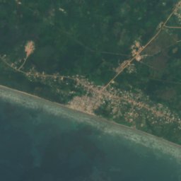
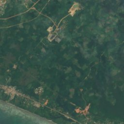
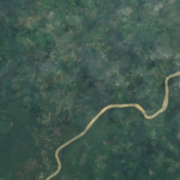
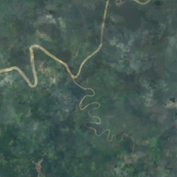

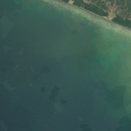
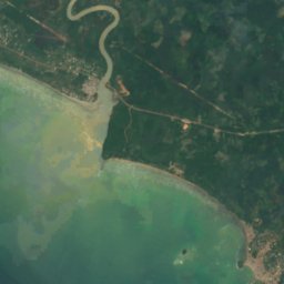


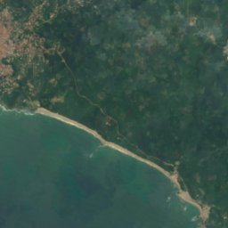
Satelita: Sentinel-2 cloudless 2016 – EOX IT Services GmbH · CC BY 4.0 · Zawiera zmodyfikowane dane Copernicus Sentinel (2016)
Bobowasi
Axim, Western
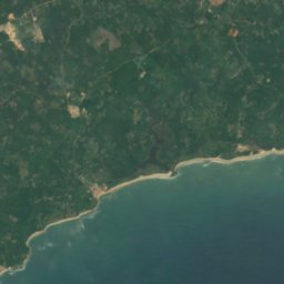
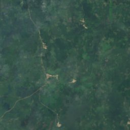
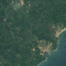
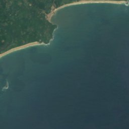
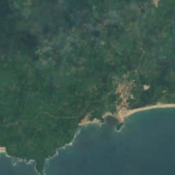
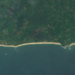
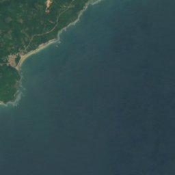


Satelita: Sentinel-2 cloudless 2016 – EOX IT Services GmbH · CC BY 4.0 · Zawiera zmodyfikowane dane Copernicus Sentinel (2016)
Abokwa Island
Butre, Western
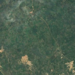
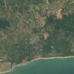
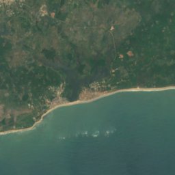
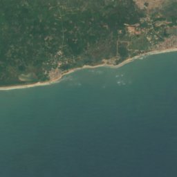
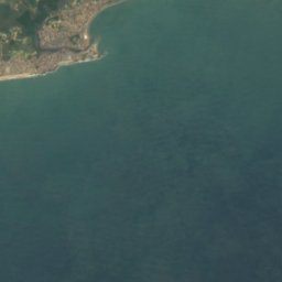





Satelita: Sentinel-2 cloudless 2016 – EOX IT Services GmbH · CC BY 4.0 · Zawiera zmodyfikowane dane Copernicus Sentinel (2016)
Busum Accra Reefs
Elmina, Central
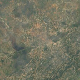
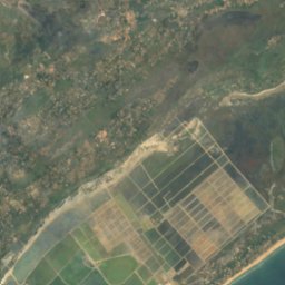
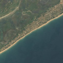
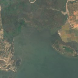
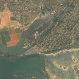
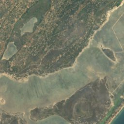
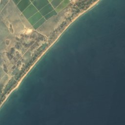

Satelita: Sentinel-2 cloudless 2016 – EOX IT Services GmbH · CC BY 4.0 · Zawiera zmodyfikowane dane Copernicus Sentinel (2016)
Dzeheko
Keta, Volta
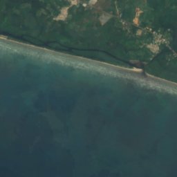


Satelita: Sentinel-2 cloudless 2016 – EOX IT Services GmbH · CC BY 4.0 · Zawiera zmodyfikowane dane Copernicus Sentinel (2016)
Hedwig Mensell Rock
Axim, Western
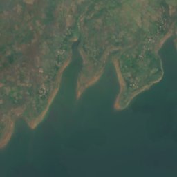
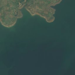

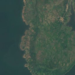
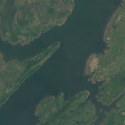

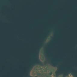
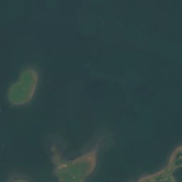
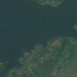
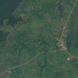

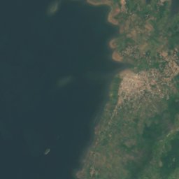
Satelita: Sentinel-2 cloudless 2016 – EOX IT Services GmbH · CC BY 4.0 · Zawiera zmodyfikowane dane Copernicus Sentinel (2016)
Hlato
Ho, Volta
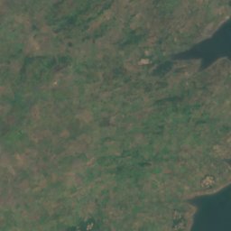
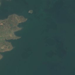
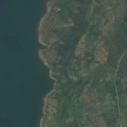
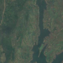
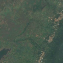
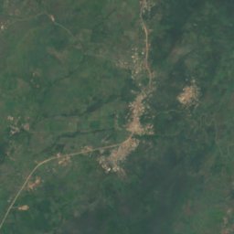
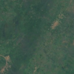
Satelita: Sentinel-2 cloudless 2016 – EOX IT Services GmbH · CC BY 4.0 · Zawiera zmodyfikowane dane Copernicus Sentinel (2016)
Kakle
Ho, Volta
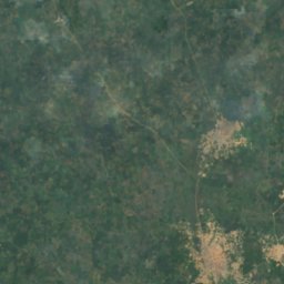
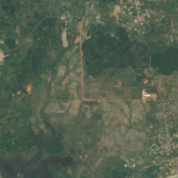
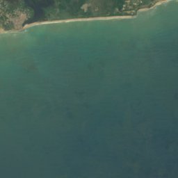
Satelita: Sentinel-2 cloudless 2016 – EOX IT Services GmbH · CC BY 4.0 · Zawiera zmodyfikowane dane Copernicus Sentinel (2016)
Kassi Reefs
Elmina, Central
Jaskinie
Jaskinie Ghany

Zdjęcie: Abejaobrera · CC BY-SA 3.0 · Wikimedia CommonsZgłoś to zdjęcie · wyświetlane przez odnośnik, nie kopiowane
Hiding Cave
Bolgatanga, Upper East
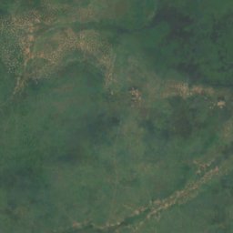
Satelita: Sentinel-2 cloudless 2016 – EOX IT Services GmbH · CC BY 4.0 · Zawiera zmodyfikowane dane Copernicus Sentinel (2016)
Bosumpra Cave
Mpraeso, Eastern
Rzeki
Rzeki Ghany

Zdjęcie: ZSM · CC BY-SA 4.0 · Wikimedia CommonsZgłoś to zdjęcie · wyświetlane przez odnośnik, nie kopiowane
Ankobra
Axim, Western

Zdjęcie: Knowledge and philosophy · CC BY-SA 4.0 · Wikimedia CommonsZgłoś to zdjęcie · wyświetlane przez odnośnik, nie kopiowane
Afram
Mampong, Ashanti
226 m

Zdjęcie: Abubakar Umar · CC BY-SA 4.0 · Wikimedia CommonsZgłoś to zdjęcie · wyświetlane przez odnośnik, nie kopiowane
Densu
Mandela, Greater Accra
3 m

Zdjęcie: Jamiaghana · CC BY-SA 3.0 · Wikimedia CommonsZgłoś to zdjęcie · wyświetlane przez odnośnik, nie kopiowane
Pra
Mpraeso, Eastern

Zdjęcie: Hans Braxmeier & Peter in s · CC BY-SA 2.0 · Wikimedia CommonsZgłoś to zdjęcie · wyświetlane przez odnośnik, nie kopiowane
Ayensu River
Winneba, Central
4 m

Zdjęcie: Els holmes · CC BY-SA 4.0 · Wikimedia CommonsZgłoś to zdjęcie · wyświetlane przez odnośnik, nie kopiowane
Owabi River
Tafo, Ashanti
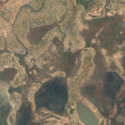
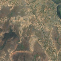
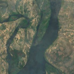
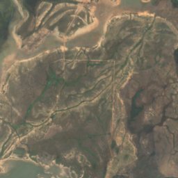
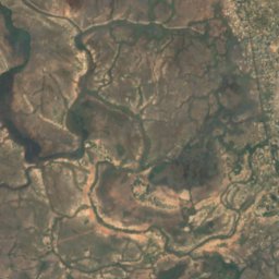
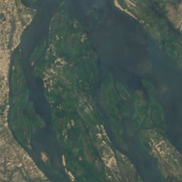
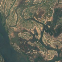
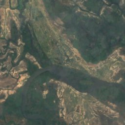
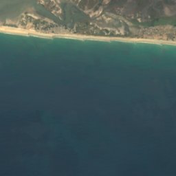
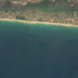
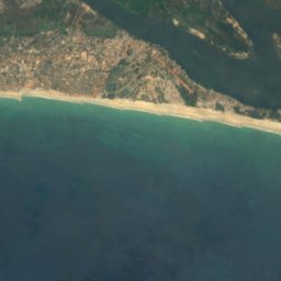
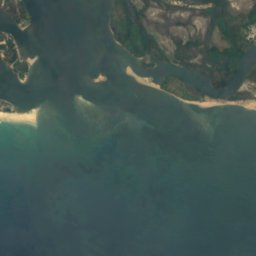
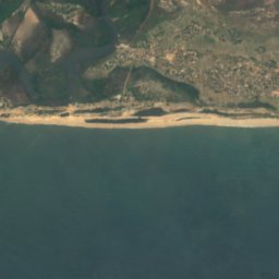
Satelita: Sentinel-2 cloudless 2016 – EOX IT Services GmbH · CC BY 4.0 · Zawiera zmodyfikowane dane Copernicus Sentinel (2016)
Wolta
Anloga, Volta
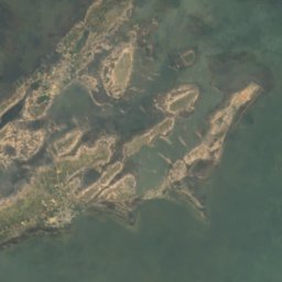
Satelita: Sentinel-2 cloudless 2016 – EOX IT Services GmbH · CC BY 4.0 · Zawiera zmodyfikowane dane Copernicus Sentinel (2016)
Todzie Tɔsisi
Anloga, Volta
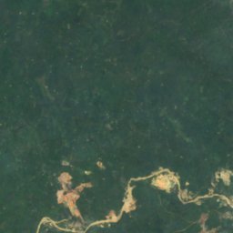
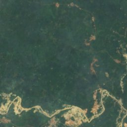
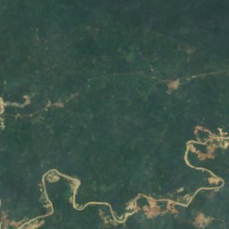
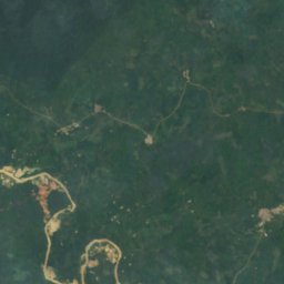
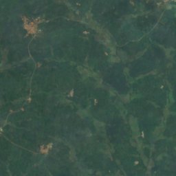
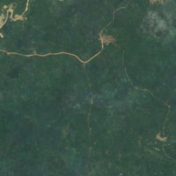
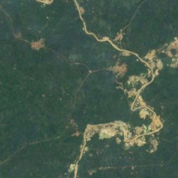
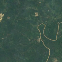
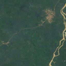
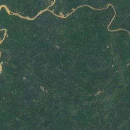
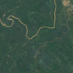


Satelita: Sentinel-2 cloudless 2016 – EOX IT Services GmbH · CC BY 4.0 · Zawiera zmodyfikowane dane Copernicus Sentinel (2016)
Ofin Asubɔnten
Assin Foso, Central