Przyroda
Woda, lód i dzika przyroda Egiptu
Jeziora, wodospady, lodowce, parki narodowe i schroniska górskie – każde z położeniem, wielkością i pogodą w pobliskich miejscowościach.
Jeziora25z własną stroną
Parki narodowe5z własną stroną
Plaże40z własną stroną
Wyspy568z własną stroną

Zdjęcie: Lake_Manzala,_image_from_space_shuttle.jpg: NASA (STS108 mission). Image courtes · Public domain · Wikimedia CommonsZgłoś to zdjęcie · wyświetlane przez odnośnik, nie kopiowane
Jeziora
Jeziora Egiptu

Zdjęcie: Lake_Manzala,_image_from_space_shuttle.jpg: NASA (STS108 mission). Image courtes · Public domain · Wikimedia CommonsZgłoś to zdjęcie · wyświetlane przez odnośnik, nie kopiowane
Buhajrat al-Manzila
Al Maţarīyah, Dakahlia
1360 km²

Zdjęcie: NASA · Public domain · Wikimedia CommonsZgłoś to zdjęcie · wyświetlane przez odnośnik, nie kopiowane
Wielkie Jezioro Gorzkie
Fāyīd, Ismailia
250 km²

Zdjęcie: Fathi.hawas · CC BY-SA 3.0 · Wikimedia CommonsZgłoś to zdjęcie · wyświetlane przez odnośnik, nie kopiowane
Burullus
Sīdī Sālim, Kafr el-Sheikh

Zdjęcie: Earth Science and Remote Sensing Unit, Lyndon B. Johnson Space Center · Public domain · Wikimedia CommonsZgłoś to zdjęcie · wyświetlane przez odnośnik, nie kopiowane
Małe Jezioro Gorzkie
Fāyīd, Ismailia

Zdjęcie: Ashashyou · CC BY-SA 3.0 · Wikimedia CommonsZgłoś to zdjęcie · wyświetlane przez odnośnik, nie kopiowane
عين الصيرة
`Ābdīn, Cairo
15 m

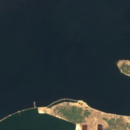

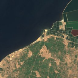
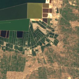
Satelita: Sentinel-2 cloudless 2016 – EOX IT Services GmbH · CC BY 4.0 · Zawiera zmodyfikowane dane Copernicus Sentinel (2016)
Jezioro Karun
Yūsuf aṣ-Ṣiddīq, Faiyum
600 km²
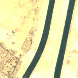
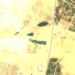
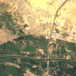
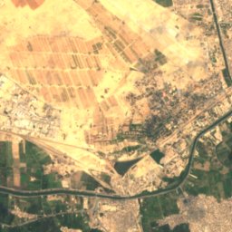
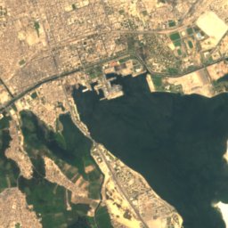
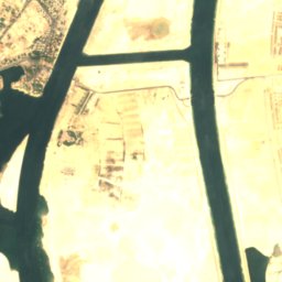
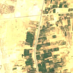
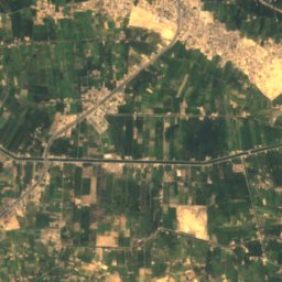
Satelita: Sentinel-2 cloudless 2016 – EOX IT Services GmbH · CC BY 4.0 · Zawiera zmodyfikowane dane Copernicus Sentinel (2016)
Jezioro Krokodyli
Ismailia, Ismailia
14 km²
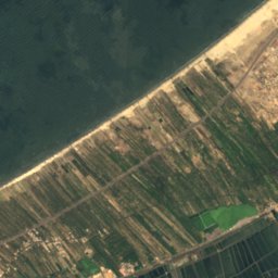
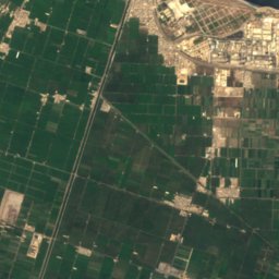
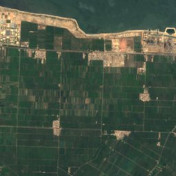
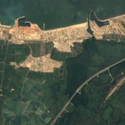
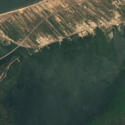
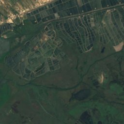
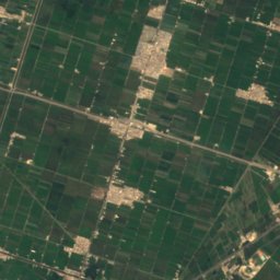
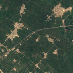
Satelita: Sentinel-2 cloudless 2016 – EOX IT Services GmbH · CC BY 4.0 · Zawiera zmodyfikowane dane Copernicus Sentinel (2016)
بحيرة إدكو
Idku, Beheira
63 km²


Satelita: Sentinel-2 cloudless 2016 – EOX IT Services GmbH · CC BY 4.0 · Zawiera zmodyfikowane dane Copernicus Sentinel (2016)
بحيرة الريان
Yūsuf aṣ-Ṣiddīq, Faiyum
50 km²
Pełna lista (25): jeziora
- Buhajrat al-Manzila
- Burullus
- Fumm Buḩayrat al Manzalah
- Jezioro Karun
- Jezioro Krokodyli
- Makhzan al Jibw
- Mallāḩat ‘Ujrat Salīmā
- Mallāḩat al Balad
- Mallāḩat al Fajfājah
- Mallâḥet el-Bilâsi
- Małe Jezioro Gorzkie
- Wielkie Jezioro Gorzkie
- بحيرة أم ريشة
- بحيرة إدكو
- بحيرة البيضة
- بحيرة الريان
- بحيرة السبخة
- بركة الجمل
- عين الصيرة
- مستنقع سربون
- ملاحات وادي النطرون
- ملاحة الصافية
- ملاحة المرقب
- ملاحة المغردجة
- ملاحة لجة العناني
Parki narodowe
Parki narodowe Egiptu

Zdjęcie: Unknown author · CC BY-SA 3.0 · Wikimedia CommonsZgłoś to zdjęcie · wyświetlane przez odnośnik, nie kopiowane
Ras Muhammad
Sharm el-Sheikh, South Sinai
14 m

Zdjęcie: Abdelrhman 1990 · CC BY-SA 4.0 · Wikimedia CommonsZgłoś to zdjęcie · wyświetlane przez odnośnik, nie kopiowane
النهر الأخضر
The New Capital, Cairo
26 km²

Zdjęcie: Sunny lov cats · CC BY-SA 4.0 · Wikimedia CommonsZgłoś to zdjęcie · wyświetlane przez odnośnik, nie kopiowane
الحديقة الدولية
Al Amīrīyah, Cairo
Satelita: Sentinel-2 cloudless 2016 – EOX IT Services GmbH · CC BY 4.0 · Zawiera zmodyfikowane dane Copernicus Sentinel (2016)
Park Narodowy Świętej Katarzyny
Saint Catherine, South Sinai
4350 km²
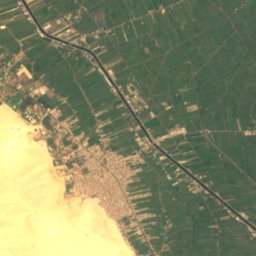
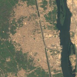
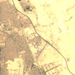
Satelita: Sentinel-2 cloudless 2016 – EOX IT Services GmbH · CC BY 4.0 · Zawiera zmodyfikowane dane Copernicus Sentinel (2016)
حديقة الفيروز
Helwan, Cairo
0 km²
Plaże
Plaże Egiptu

Zdjęcie: Marc Ryckaert · CC BY 3.0 · Wikimedia CommonsZgłoś to zdjęcie · wyświetlane przez odnośnik, nie kopiowane
Taba Heights
Taba, South Sinai
16 m

Zdjęcie: Roland Unger · CC BY-SA 3.0 · Wikimedia CommonsZgłoś to zdjęcie · wyświetlane przez odnośnik, nie kopiowane
شاطئ عجيبة
Marsa Matruh, Matruh

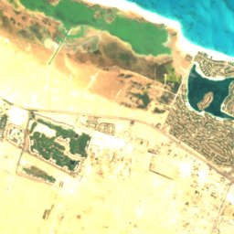
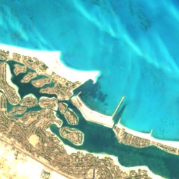
Satelita: Sentinel-2 cloudless 2016 – EOX IT Services GmbH · CC BY 4.0 · Zawiera zmodyfikowane dane Copernicus Sentinel (2016)
لا فام
El Alamein, Matruh




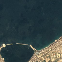
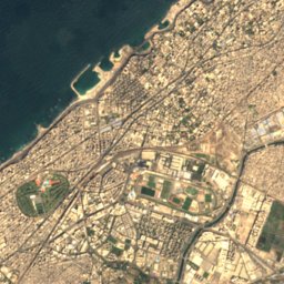
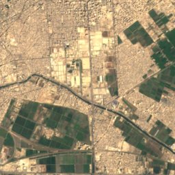
Satelita: Sentinel-2 cloudless 2016 – EOX IT Services GmbH · CC BY 4.0 · Zawiera zmodyfikowane dane Copernicus Sentinel (2016)
شاطئ كليوباترا
Aleksandria, Alexandria
13 m

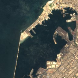
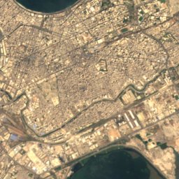
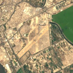
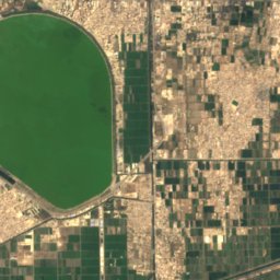
Satelita: Sentinel-2 cloudless 2016 – EOX IT Services GmbH · CC BY 4.0 · Zawiera zmodyfikowane dane Copernicus Sentinel (2016)
شاطئ الإبراهيمية
Aleksandria, Alexandria
9 m

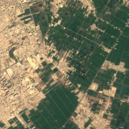
Satelita: Sentinel-2 cloudless 2016 – EOX IT Services GmbH · CC BY 4.0 · Zawiera zmodyfikowane dane Copernicus Sentinel (2016)
Al Muntazah Beach
Abu Qir, Alexandria
12 m
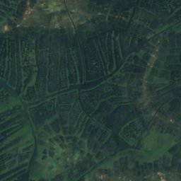
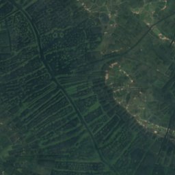
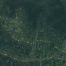
Satelita: Sentinel-2 cloudless 2016 – EOX IT Services GmbH · CC BY 4.0 · Zawiera zmodyfikowane dane Copernicus Sentinel (2016)
Barr Kawm ar Ramād
Port Said, Port Said
1 m
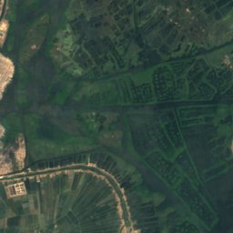
Satelita: Sentinel-2 cloudless 2016 – EOX IT Services GmbH · CC BY 4.0 · Zawiera zmodyfikowane dane Copernicus Sentinel (2016)
Barr Kunayyisah
Al Maţarīyah, Dakahlia
2 m
Satelita: Sentinel-2 cloudless 2016 – EOX IT Services GmbH · CC BY 4.0 · Zawiera zmodyfikowane dane Copernicus Sentinel (2016)
Barr Mu‘aybid
Al Maţarīyah, Dakahlia
2 m
Pełna lista (40): plaże
- Al Muntazah Beach
- Barr ad Dayir
- Barr al ‘Ajā'ibah
- Barr al Qiţ‘ah
- Barr ash Sharqīyah
- Barr el-Riqqa
- Barr Kawm ar Ramād
- Barr Kunayyisah
- Barr Mu‘aybid
- Barr Shalāsh
- Blāj ‘Ayn aş Şīrah
- Mallāḩat al Būşīlī
- Mallāḩat aţ Ţarrānah
- Mamoura Beach
- Saraya Beach
- Shāţī Kūrāl
- Shāţi' al Jamīl
- Shāţi' al Ma‘mūrah
- Shāţi' al Mandarah
- Shāţi' al Quwwāt al Musallaḩah
- Shāţi‘ as Sarāy
- Shāţi' Bi'r al ‘Abd
- Shāţi' Miyāmī
- Shāţi' Rushdī
- Shāţi' Sān Istīfānū
- Shāţi' Sīdī Bishr
- Soft Beach
- Taba Heights
- بر الشيخ بدير
- بر القرعة
- بستان سمك الأنقليس
- شاطئ الإبراهيمية
- شاطئ الانفوشي
- شاطئ الشاطبي
- شاطئ جليم
- شاطئ رأس التين
- شاطئ عجيبة
- شاطئ كليوباترا
- شاطى حي العرب
- لا فام
Wyspy
Wyspy Egiptu

Zdjęcie: Marc Ryckaert (MJJR) · CC BY 3.0 · Wikimedia CommonsZgłoś to zdjęcie · wyświetlane przez odnośnik, nie kopiowane
Tiran
Sharm el-Sheikh, South Sinai
90 m
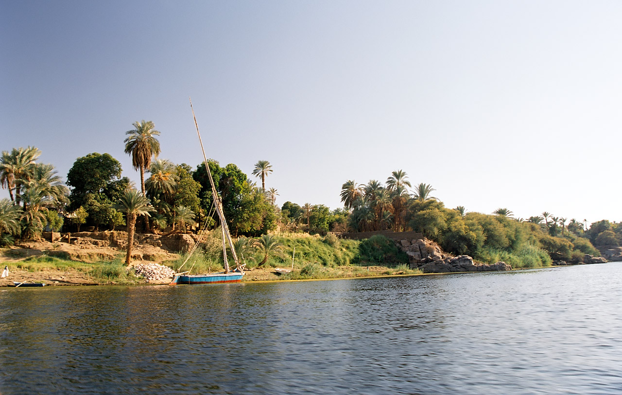
Zdjęcie: Unknown author · CC BY-SA 2.0 · Wikimedia CommonsZgłoś to zdjęcie · wyświetlane przez odnośnik, nie kopiowane
Elefantyna
Aswan, Aswan
101 m

Zdjęcie: user:vberger · Public domain · Wikimedia CommonsZgłoś to zdjęcie · wyświetlane przez odnośnik, nie kopiowane
Dżaza’ir Dżiftun
Hurghada, Red Sea
49 m

Zdjęcie: Michael Botros · CC BY 4.0 · Wikimedia CommonsZgłoś to zdjęcie · wyświetlane przez odnośnik, nie kopiowane
Roda
Giza, Giza
32 m

Zdjęcie: Unknown author · Public domain · Wikimedia CommonsZgłoś to zdjęcie · wyświetlane przez odnośnik, nie kopiowane
Dżazirat Suhajl
Aswan, Aswan
114 m

Zdjęcie: Abdozaghloul · CC BY-SA 4.0 · Wikimedia CommonsZgłoś to zdjęcie · wyświetlane przez odnośnik, nie kopiowane
Dżazirat Firaun
Taba, South Sinai
14 m

Zdjęcie: Ovedc · CC BY-SA 4.0 · Wikimedia CommonsZgłoś to zdjęcie · wyświetlane przez odnośnik, nie kopiowane
Dżazirat an-Nabatat
Aswan, Aswan
131 m

Zdjęcie: Diego Delso · CC BY-SA 4.0 · Wikimedia CommonsZgłoś to zdjęcie · wyświetlane przez odnośnik, nie kopiowane
جزيرة أجيليكا
Aswan, Aswan

Zdjęcie: David Roberts · Public domain · Wikimedia CommonsZgłoś to zdjęcie · wyświetlane przez odnośnik, nie kopiowane
جزيرة بيجة
Aswan, Aswan
109 m
Pełna lista (568): wyspy
- ‘Alāwī al Bashtīr
- ‘Alāwī al Buţūnī al Kabīrah
- ‘Alāwī al Fassākhah
- ‘Alāwī al Ḩāwī
- ‘Alāwī al Kirsh
- ‘Alāwī al Marashshāt
- ‘Alāwī al Marshāt
- ‘Alāwī al Mashūţī
- ‘Alāwī al Wuţī
- ‘Alāwī ar Riqqah
- ‘Alāwī aş Şāfīyah
- ‘Alāwī aş Şaḩrā'
- ‘Alāwī aş Şaḩrā' al Kabīrah
- ‘Alâwi Atrîb
- ‘Alāwī Bawwāt Zughayr
- ‘Alāwī Ḩammūd
- ‘Alāwī Ra's Dukhān
- ‘Ilwat ‘Alī
- ‘Ilwat al Ḩarīqah
- ‘Ilwat al Ḩusayn
- ‘Ilwat al Manārah
- ‘Ilwat al Manfadh
- ‘Ilwat al Qirsh
- ‘Ilwat Baḩr ash Sharak
- ‘Ilwat Shālāt
- ‘Irq ar Riyāḩ
- Abu Hashish Reef
- Al ‘Ajūz
- Al ‘Itr
- Al ‘Ulayyiqāt
- Al Barr aţ Ţawīl
- Al Fanādīr
- Al Halasah al Kabīrah
- Al Jazīrah al Bayḑā'
- Al Jazīrah al Ḩabashīyah
- Al Jazīrah al Kabīrah
- Al Jazīrah al Murtafi‘ah
- Al Jazīrah ash Shaqrā'
- Al Kalb
- Al Khashabah
- As Sab‘ Ḩaţābāt
- Ash Sha‘bānī
- Ataqa Reef
- Barr Abū Laban
- Barr aḑ Ḑahrah, Dakahlia
- Barr al Aşfar
- Barr al Başal
- Barr al Ḩāfiyah
- Barr al Ḩammār, Damietta
- Barr al Ḩammār, Damietta
- Barr al Ḩarīq
- Barr al Jummayz
- Barr al Khuḑarīyah
- Barr al Ma‘āmil
- Barr al Waḩl
- Barr ar Raml
- Barr aş Şijayl
- Barr ash Shaykh al ‘Izabī
- Barr az Zāwiyah
- Barr Bitiltīsh
- Barr el-‘Âmya
- Barr Ḩamīd
- Barr Ḥammûd
- Barr Ḩuţaybah
- Barr Ibn Sallām, Dakahlia
- Barr Ibn Sallām, Dakahlia
- Barr Kurnāf
- Barr Shulaybī
- Barr Sīdī al Baghdādī
- Bittern Shoal
- Būz ad Dīshishah
- Cannon Reef
- Chantier Island
- Chevalier Island
- Coral Island
- Culloden Reef
- Ḑahr az Zafālīţ
- Ḍahr Khalîl
- Ḍahr Shalabi
- Dākhilat al Ghūlah
- Damietta Banks
- Dībat as Subayyikhah
- Dżaza’ir Dżiftun
- Dżazirat Abu Ramada
- Dżazirat an-Nabatat
- Dżazirat at-Tawila
- Dżazirat Dżiftun al-Kabir
- Dżazirat Dżiftun as-Saghir
- Dżazirat Firaun
- Dżazirat Nilsun
- Dżazirat Safadża
- Dżazirat Suhajl
- El-Hadâwi
- Elefantyna
- Fairway Reefs
- Gezira
- Gezîret Beni Hideir
- Gezîret el-‘Aggâg
- Gezîret el-Farḥa
- Gezîret el-Fârisîya
- Gezîret el-Fuza
- Gezîret el-Karâbla
- Gezîret Quḍâ‘a
- Gezîret Umm ‘Âmir
- Gezîret Umm el-‘Anîshi
- Geziret Umm el-Gursân
- Gezîret Zaqazîq
- Grafton Reef
- Hyndman Reefs
- Jazā'ir ‘Ammār
- Jazā'ir ‘Ilwat al Bashtīr
- Jazā'ir ‘Umar
- Jazā'ir ad Dīwānī
- Jazā'ir al Arāmīk
- Jazā'ir al Azghāb
- Jazā'ir al Gharīq al Baḩrī
- Jazā'ir al Ḩallāb
- Jazā'ir al Jawāsiq
- Jazā'ir al Laklūkah
- Jazā'ir al Mawh
- Jazā'ir al Munsarib
- Jazā'ir al Qiblīyah
- Jazā'ir Ambūsh
- Jazā‘ir an Nisr
- Jazā'ir as Suddah
- Jazā'ir aţ Ţawīlah
- Jazā'ir Atrīb
- Jazā'ir az̧ Z̧āhirah
- Jazā'ir Bāb at Tibn
- Jazā'ir Birak Jazar
- Jazā'ir Dawānī ‘Ashrīn
- Jazā'ir Dushaymī
- Jazā'ir Kawm ar Ramād
- Jazā'ir Mawāsīrah
- Jazā'ir Qarn Dhi'āb
- Jazā'ir Qaţţārah
- Jazā'ir Şakhrīyah
- Jazīrah Umm al Haymāt aş Şaghīrah
- Jazīrat ‘Alāwī al Būghāz
- Jazīrāt ‘Alāwī al Buqūm
- Jazīrat ‘Alāwī al Fasīkh
- Jazīrat ‘Awwāḑ
- Jazīrat ‘Urāḑat Umm Shāl
- Jazīrat Abnūd
- Jazīrat Abū ‘Awaḑ
- Jazīrat Abū al Ghayţ
- Jazīrat Abū Ghālib
- Jazīrat Abū Khuḑayr
- Jazīrat Abū Nushshābah
- Jazīrat Abū Ra's
- Jazīrat Abū Yūsuf
- Jazīrat Abū Zayd
- Jazīrat Abwāb aş Şayfī
- Jazīrat aḑ Ḑabḩah
- Jazīrat aḑ Ḑahrīyah
- Jazīrat ad Darajah
- Jazīrat ad Darfīl, Beheira
- Jazīrat ad Darfīl, Dakahlia
- Jazīrat ad Dūm
- Jazīrat adh Dhahab, Kafr el-Sheikh
- Jazīrat Adindān
- Jazīrat al ‘Abl
- Jazīrat al ‘Aḑā'imah
- Jazīrat al ‘Āqūlah
- Jazīrat al ‘Arab
- Jazīrat al ‘Aţf
- Jazīrat al ‘Awānah
- Jazīrat al ‘Awānāt
- Jazīrat al ‘Imārīyah
- Jazīrat al ‘Ulamā'
- Jazīrat al Ajnaf
- Jazīrat al Akrāsh
- Jazīrat al Ās
- Jazīrat al Aşfar
- Jazīrat al Asqālah
- Jazīrat al Badārī
- Jazīrat al Badrashayn
- Jazīrat al Bajjā‘
- Jazīrat al Banāt
- Jazīrat al Barānīs
- Jazīrat al Barshā
- Jazīrat al Başalah al Kubrá
- Jazīrat al Baţţīkh
- Jazīrat al Bayāḑīyah, Minya
- Jazīrat al Bint
- Jazīrat al Birtil
- Jazīrat al Biyākū
- Jazīrat al Būhah
- Jazīrat al Falq
- Jazīrat al Faras
- Jazīrat al Fārisīyah
- Jazīrat al Farshah
- Jazīrat al Ḩaddādī
- Jazīrat al Ḩaddādīyah
- Jazīrat al Ḩallāb
- Jazīrat al Ḩamīr
- Jazīrat al Ḩamlah
- Jazīrat al Ḩanafī, Kafr el-Sheikh
- Jazīrat al Ḩanafī, Kafr el-Sheikh
- Jazīrat al Ḩaşafah
- Jazīrat al Ḩaţab
- Jazīrat al Ḩayyah
- Jazīrat al Ḩībah
- Jazīrat al Ḩijz
- Jazīrat al Ḩillah
- Jazīrat al Ḩimārah
- Jazīrat al Ḩimūdīyah
- Jazīrat al Jamal
- Jazīrat al Jamrīyah
- Jazīrat al Janá
- Jazīrat al Jazā'ir
- Jazīrat al Juḩayyish
- Jazīrat al Jundī
- Jazīrat al Kasārinah
- Jazīrat al Khawī
- Jazīrat al Khubbayzah
- Jazīrat al Kilḩ
- Jazīrat al Kūbānīyah
- Jazīrat al Kuraymāt
- Jazīrat al Kuraysh
- Jazīrat al Lāsah
- Jazīrat al Lazqah
- Jazīrat al Ma‘ābidah
- Jazīrat al Ma‘āmil
- Jazīrat al Mafrakhah
- Jazīrat al Maḩash
- Jazīrāt al Maḩaysin
- Jazīrat al Malakīyah
- Jazīrat al Mallāḩah
- Jazīrat al Manāshī
- Jazīrat al Manşūrīyah
- Jazīrat al Maqţū‘
- Jazīrat al Maqţū‘ah
- Jazīrat al Marīḩ
- Jazīrat al Māshiţah
- Jazīrat al Maskhūţah
- Jazīrat al Maţāhirah
- Jazīrat al Maţāhirah ash Sharqīyah
- Jazīrat al Maydah
- Jazīrat al Mayyit
- Jazīrat al Mayyitah
- Jazīrat al Muqāţifīyah
- Jazīrat al Murayyaḩ
- Jazīrat al Qābūţī
- Jazīrat al Qamāş
- Jazīrat al Qamaşah
- Jazīrat al Qamāşah
- Jazīrat al Qanādilah
- Jazīrat al Qar‘ah
- Jazīrat al Qarādīd
- Jazīrat al Qārib
- Jazīrat al Qarn adh Dhahabī
- Jazīrat al Qarqāwīshah, Damietta
- Jazīrat al Qarqāwīshah, Damietta
- Jazīrat al Qashshāsh
- Jazīrat al Qiţ‘ah al Kabīrah
- Jazīrat al Qiţ‘ah aş Şaghīrah
- Jazīrat al Quşayr
- Jazīrat al Quşūr al Baḩrīyah
- Jazīrat al Quşūr al Qiblīyah
- Jazīrat al Ukhtayn, Alexandria
- Jazīrat al Waḩīd
- Jazīrat al Wakā'ilah
- Jazīrat al Wāsţá
- Jazīrat al Wasţānīyah
- Jazīrat al Yahūdīyah
- Jazīrat an Nā‘is
- Jazīrat an Naq‘ah, Beheira
- Jazīrat an Naq‘ah, Kafr el-Sheikh
- Jazīrat an Nashwah
- Jazīrat an Naşīrāt, Sohag
- Jazīrat an Naşīrāt, Sohag
- Jazīrat an Nukhaylah
- Jazīrat an Nuqaţ
- Jazīrat ar Rakham
- Jazīrat ar Ramrūm
- Jazīrat ar Ratam
- Jazīrat ar Rawḑah
- Jazīrat ar Riqqah
- Jazīrat ar Riqqah al Baḩrīyah
- Jazīrat ar Rukn
- Jazīrāt ar Rumīyah
- Jazīrat Armant
- Jazīrat Ās ‘Awad
- Jazīrat Ās al Qird
- Jazīrat Ās an Nakhlah
- Jazīrat aş Şabḩah
- Jazīrat aş Şaḩn
- Jazīrat aş Şaḩrā' aş Şaghīrah
- Jazīrāt as Sajāsīj
- Jazīrat as Samārah
- Jazīrat as Samnī
- Jazīrat as Sarīrīyah
- Jazīrat as Sarjah
- Jazīrat as Sibākh
- Jazīrat as Siminnāwīyah
- Jazīrat as Suwaydīyah
- Jazīrat ash Shabā'irah wa Būz al Gharaq
- Jazīrat ash Sharāqiwah
- Jazīrat ash Sharrānīyah
- Jazīrat ash Shawbak
- Jazīrat ash Shaykh
- Jazīrat ash Shaykh Faḑl
- Jazīrat ash Shaykh Ḩasan
- Jazīrat ash Shaykh Salīm
- Jazīrat ash Shaykh Timay
- Jazīrat ash Shi‘shā‘ī
- Jazīrat ash Shilbah
- Jazīrat ash Shinnāwī
- Jazīrat at Tall
- Jazīrat aţ Ţarfāyah
- Jazīrat aţ Ţarrānah
- Jazīrat aţ Ţawābīyah
- Jazīrat aţ Ţawīl
- Jazīrat aţ Ţayrīyah
- Jazīrat aţ Ţuwaysah
- Jazīrat az̧ Z̧arz̧ārīyah
- Jazīrat az Zāwiyah aş Şaghīrah
- Jazīrat az Zāwiyah, Dakahlia
- Jazīrat az Zāwiyah, Faiyum
- Jazīrat az Zu‘ayyirah
- Jazīrat az Zummār wa al Maqţa‘
- Jazīrat az Zuqm
- Jazīrat Bā'it ash Shabār
- Jazīrat Baghdād
- Jazīrat Bahīj
- Jazīrat Baḩr al Fār
- Jazīrat Bahrīf
- Jazīrat Banī Murr
- Jazīrat Başal
- Jazīrat Billūlah
- Jazīrat Birkah
- Jazīrat Birkat ash Shajarah
- Jazīrat Bisāwī
- Jazīrat Būz al Mallāḩ
- Jazīrat Būz as Saḩḩārah
- Jazīrat Būz Dākhilat al Ghābah
- Jazīrat Dā'ūd
- Jazīrat Dawwāsah, Dakahlia
- Jazīrat Dawwāsah, Dakahlia
- Jazīrat Dayr aţ Ţīn
- Jazīrat Dukhān
- Jazīrat Fajnūn
- Jazīrat Farāsh aţ Ţūb
- Jazīrat Fumm al Ghizlān
- Jazīrat Ghazālāt
- Jazīrat Ghurayshah
- Jazīrat Ghurayshah aş Şughrá
- Jazīrat Ḩafīrat al Jayyār
- Jazīrat Ḩalāwah, Alexandria
- Jazīrat Ḩalāwah, Alexandria
- Jazīrat Ḩalq al Jamal
- Jazīrat Hīshat an Nāqah
- Jazīrat Ḩumaydān
- Jazīrat Ḩumayyid
- Jazīrat Ibn ‘Asīl
- Jazīrat Ibsāk
- Jazīrat Iqşāş
- Jazīrat Ishmant
- Jazīrat Jūdī
- Jazīrat Jurf al Ḩākim
- Jazīrat Kafr al ‘Arab
- Jazīrat Kafr Barakāt
- Jazīrat Kawm aţ Ţarfāyah
- Jazīrat Kharm
- Jazīrat Khārūn
- Jazīrat Khubbat al Muqīl
- Jazīrat Khubbat Ibsāk
- Jazīrat Kurmullus
- Jazīrat Lujjat al Ḩāmiyah
- Jazīrat Maghnīn
- Jazīrat Maḩjar Diyāmū
- Jazīrat Manqabād
- Jazīrat Mas‘ūd
- Jazīrat Mighwār
- Jazīrat Mijrīs, Asyut
- Jazīrat Mijrīs, Asyut
- Jazīrat Mīt al Khawlī
- Jazīrat Mulūkhīyah
- Jazīrat Munayḩah
- Jazīrat Muqbil
- Jazīrat Naqnaq
- Jazīrat Naşr ad Dīn
- Jazīrat Nitmā wa Kafr Gharīn
- Jazīrat Nuqrat Abū ar R'ūs
- Jazīrat Qal‘at al Balaḩ
- Jazīrat Qarān
- Jazīrat Qās al Makhāḑah
- Jazīrat Qāsim
- Jazīrat Quḑā‘ah
- Jazīrat Qurdūdat Şaqr
- Jazīrat Quţūr
- Jazīrat Ra's Abū Bāligh
- Jazīrat Ra's ad Dākhilah al Kabīrah
- Jazīrat Ra's al Ḩayyah
- Jazīrat Ra's al Maqţū‘ah
- Jazīrat Ra's ar Riqqah
- Jazīrat Ra's Khunaynah
- Jazīrat Raqm Khamsah
- Jazīrat Rizq
- Jazīrat Rukn al Gharaq
- Jazīrat Sa‘dūn
- Jazīrat Salūjah
- Jazīrat Samannūd
- Jazīrat Şarāwah
- Jazīrat Şawl
- Jazīrat Shāl al Ḩallūf
- Jazīrat Shāsh
- Jazīrat Shaybah
- Jazīrat Shīlān aţ Ţayr
- Jazīrat Şiddīq
- Jazīrat Sīdī Dhi'āb
- Jazīrat Siwirjān
- Jazīrat Tall al Jabartī
- Jazīrat Tall Atrīb
- Jazīrat Ţallūz
- Jazīrat Ţammūh
- Jazīrat Ţarfāyat Sīdī Ghāzī
- Jazīrat Ţimā
- Jazīrat Tīrān
- Jazīrat Umm ‘Abd Allāh
- Jazīrat Umm ‘Āmir
- Jazīrat Umm Ajāwīsh aş Şughrá
- Jazīrat Umm al Haymāt aş Şaghīrah
- Jazīrat Umm al Khuḑārī
- Jazīrat Umm as Sa‘d
- Jazīrat Umm az Zalaţ
- Jazīrat Umm Bifayḩ
- Jazīrat Umm Ḩijāb
- Jazīrat Umm Khalaf
- Jazīrat Umm Şughayw
- Jazīrat Wardān
- Jazīrat Yūnus
- Jazīrat Yūsuf
- Jazīrat Zirnīkh
- Jazīrat Zughaybir
- Juzur Suyūl
- Juzur Umm Ajawīsh
- Laguna Reef
- Maḩjar Shaţā
- Marsa Alam Reef
- Matruh Reef
- Medina Reef
- Medina Reefs
- Mensiya Reef
- Middle Reef
- North Fairway Reef
- Panorama Reef
- Plate Island
- Qād at Tawaylah
- Qad Ibn Haddān
- Qal‘ah Kabīrah
- Requin Island
- Roda
- Sa‘l Ḩashīsh
- Sandy Island
- Sha‘ab ‘Ush
- Sha‘ab Abû Janzî
- Sha‘ab Abû Milanah
- Sha‘ab Abû Rakaw
- Sha‘ab Abu Sha‘r
- Sha‘ab al-‘Urf
- Sha‘ab Tawîlah
- Sha‘ab Umm ‘Ush
- Sha‘ab Umm al Haymat
- Sha‘ab Umm al Haymāt
- Sha‘b al ‘Utāf
- Sha‘b Gibeisa
- Sha‘b Jamsah
- Sha‘b Jarrah
- South Fairway Reef
- Spit Reef
- Strickland Shoal
- Sultan Shoal
- The Alternatives
- Tiran
- Wâdi Abu Sha‘r
- أص الدنيس
- أم أجاويش الكبير
- أم قمر
- البلح
- الجزيرة الخضراء
- الجزيرة الغربية
- الزرانيق
- الصير
- الطويلة
- الغرة
- القرصاية
- القطفة
- النموسية
- الوراق
- بر الشيخ
- بر الصليب
- بر الضهرة, Damietta
- جزائر باب العرب
- جزر جوبال
- جزر محيسن
- جزيرة أبو مسلم
- جزيرة أبو مسلم
- جزيرة أبو منقار
- جزيرة أجيليكا
- جزيرة أم الكما
- جزيرة ابو بتي
- جزيرة الاختين
- جزيرة البشاروش
- جزيرة البياضية
- جزيرة الجماصة
- جزيرة الداخلة
- جزيرة الدهب
- جزيرة الذهب
- جزيرة الرحمانية
- جزيرة الرملة
- جزيرة الزنقة
- جزيرة السبيخة
- جزيرة السمارة الصغيرة
- جزيرة السمارة الكبيرة
- جزيرة الطرادية
- جزيرة الطويلة
- جزيرة العتر
- جزيرة العجاج
- جزيرة العصافرة
- جزيرة العين
- جزيرة الغرايقة
- جزيرة الغريق القبلي
- جزيرة القراطيين
- جزيرة الكروم
- جزيرة الكنيسة
- جزيرة الكوم الأخضر
- جزيرة بيجة
- جزيرة جبل الكور
- جزيرة حديدة كساب
- جزيرة حلق الكرسة
- جزيرة حمامات
- جزيرة دنجواي
- جزيرة سعدانة
- جزيرة شرباص
- جزيرة شرمساح
- جزيرة شمعة
- جزيرة عراضة المقرعة
- جزيرة غزلات
- جزيرة غسولة
- جزيرة فاروس
- جزيرة فيالة
- جزيرة كساب
- جزيرة كنيسة
- جزيرة كوم حسن
- جزيرة لجان
- جزيرة مسلم
- جزيرة نجيلة
- جزيرة هيسا
- جوطة أبو مكادي
- رأس الغزلاني
- رأس زعتر
- سلسلة صخور توماس المرجانية
- سلسلة صخور جاكسون المرجانية
- سلسلة صخور غوردون المرجانية
- سلسلة صخور وودهاوس المرجانية
- شرشيرة
- شعاب الفينستون
- طرحة الصير
- علاوي البقوم
- علاوي الغرايق
- علاوي القعوة
- علوة الجمام
- لكيخة
- مدينة القروش وشعاب اليولاندا وشقائق النعمان
- ممر أسماك جاك
- نقطة مراقبة القروش
Jaskinie
Jaskinie Egiptu
Satelita: Sentinel-2 cloudless 2016 – EOX IT Services GmbH · CC BY 4.0 · Zawiera zmodyfikowane dane Copernicus Sentinel (2016)
جبل الطارف
Nag Hammadi, Qena
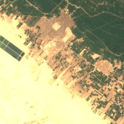
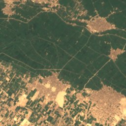
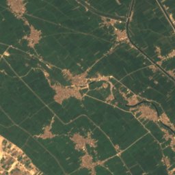
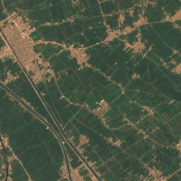
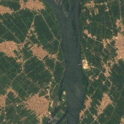
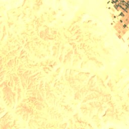
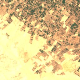
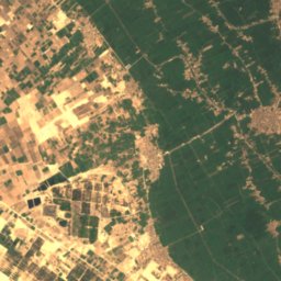
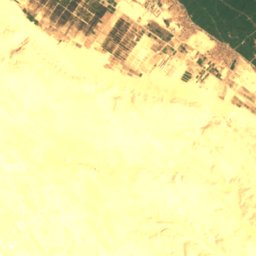
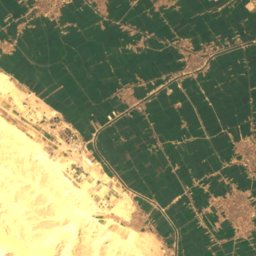
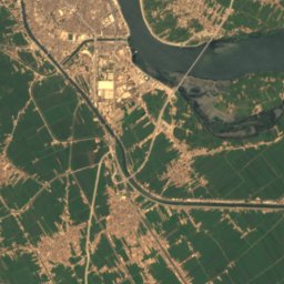
Satelita: Sentinel-2 cloudless 2016 – EOX IT Services GmbH · CC BY 4.0 · Zawiera zmodyfikowane dane Copernicus Sentinel (2016)
مغارة الأنبا شنودة رئيس المتوحدين
Sohag, Sohag
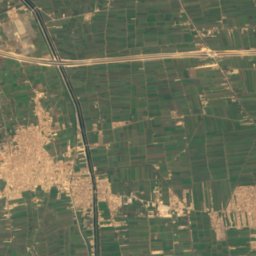
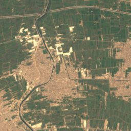
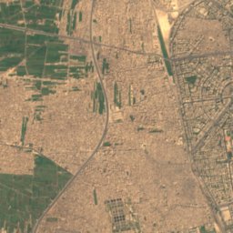
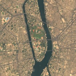
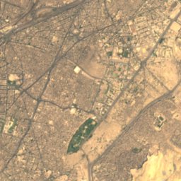
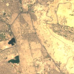
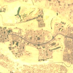
Satelita: Sentinel-2 cloudless 2016 – EOX IT Services GmbH · CC BY 4.0 · Zawiera zmodyfikowane dane Copernicus Sentinel (2016)
كهف السودان
`Ābdīn, Cairo
107 m
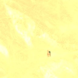
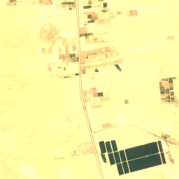

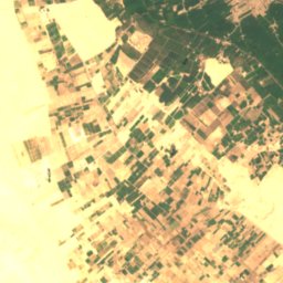
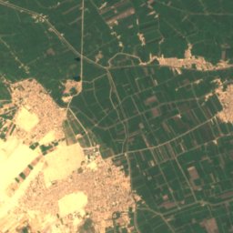
Satelita: Sentinel-2 cloudless 2016 – EOX IT Services GmbH · CC BY 4.0 · Zawiera zmodyfikowane dane Copernicus Sentinel (2016)
Maghārat Judr
Al Qūşīyah, Asyut
169 m
Satelita: Sentinel-2 cloudless 2016 – EOX IT Services GmbH · CC BY 4.0 · Zawiera zmodyfikowane dane Copernicus Sentinel (2016)
Maghārat al Banāt
Al Qūşīyah, Asyut
169 m
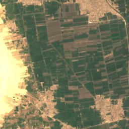
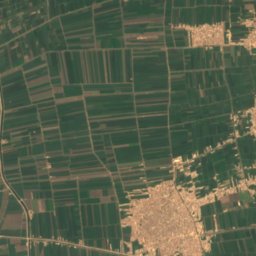
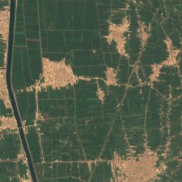
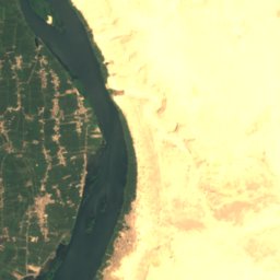
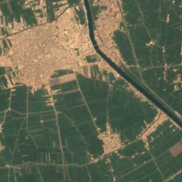
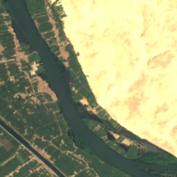
Satelita: Sentinel-2 cloudless 2016 – EOX IT Services GmbH · CC BY 4.0 · Zawiera zmodyfikowane dane Copernicus Sentinel (2016)
Maghārat al Baqarah
Al Qūşīyah, Asyut
41 m
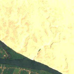
Satelita: Sentinel-2 cloudless 2016 – EOX IT Services GmbH · CC BY 4.0 · Zawiera zmodyfikowane dane Copernicus Sentinel (2016)
Maghārat al Jāmi‘
Al Qūşīyah, Asyut
168 m
Satelita: Sentinel-2 cloudless 2016 – EOX IT Services GmbH · CC BY 4.0 · Zawiera zmodyfikowane dane Copernicus Sentinel (2016)
Maghārat al Muţrān
Al Qūşīyah, Asyut
169 m
Rzeki
Rzeki Egiptu

Zdjęcie: Lumen roma · CC BY 3.0 · Wikimedia CommonsZgłoś to zdjęcie · wyświetlane przez odnośnik, nie kopiowane
Wadi an-Natrun
Madīnat as Sādāt, Beheira

Zdjęcie: Muhammad Abul-Futooh · CC BY-SA 4.0 · Wikimedia CommonsZgłoś to zdjęcie · wyświetlane przez odnośnik, nie kopiowane
Damietta
‘Izbat al Burj, Dakahlia
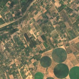
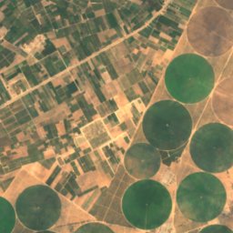
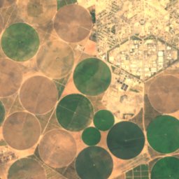
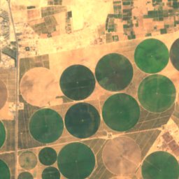
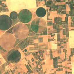
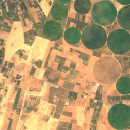
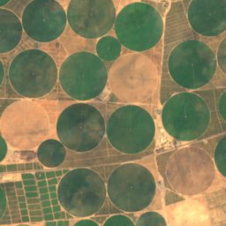
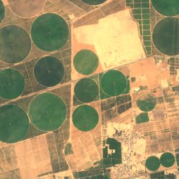
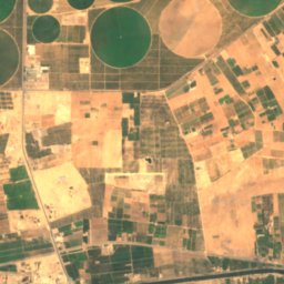
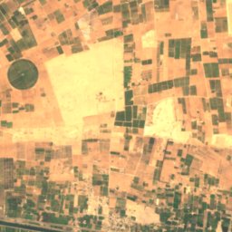
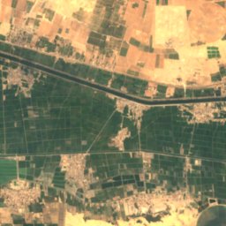
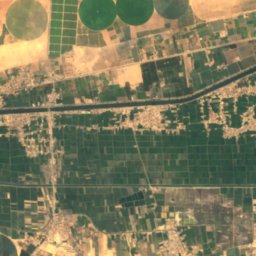
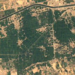
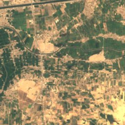
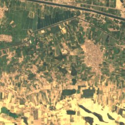
Satelita: Sentinel-2 cloudless 2016 – EOX IT Services GmbH · CC BY 4.0 · Zawiera zmodyfikowane dane Copernicus Sentinel (2016)
Ouadi Toumilat
Kassassin, Sharqia






Satelita: Sentinel-2 cloudless 2016 – EOX IT Services GmbH · CC BY 4.0 · Zawiera zmodyfikowane dane Copernicus Sentinel (2016)
Wadi al-Arisz
Arish, North Sinai
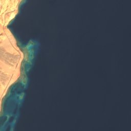

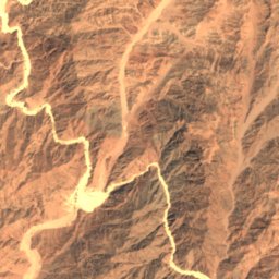
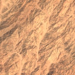
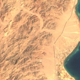


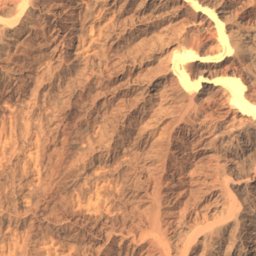
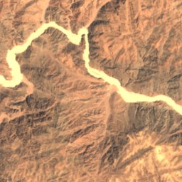
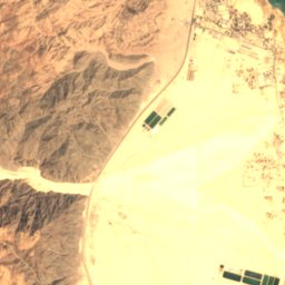
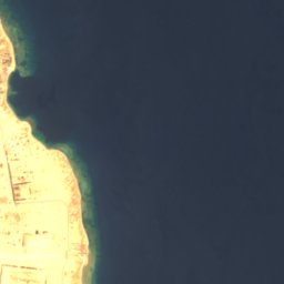

Satelita: Sentinel-2 cloudless 2016 – EOX IT Services GmbH · CC BY 4.0 · Zawiera zmodyfikowane dane Copernicus Sentinel (2016)
Wadi Watir
Nuwajbi, South Sinai
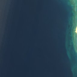
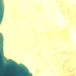




Satelita: Sentinel-2 cloudless 2016 – EOX IT Services GmbH · CC BY 4.0 · Zawiera zmodyfikowane dane Copernicus Sentinel (2016)
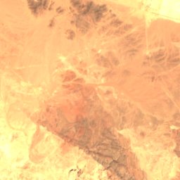
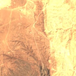
وادي الغرندل
Abu Zenima, South Sinai
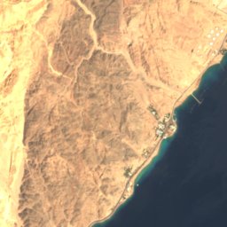


Satelita: Sentinel-2 cloudless 2016 – EOX IT Services GmbH · CC BY 4.0 · Zawiera zmodyfikowane dane Copernicus Sentinel (2016)
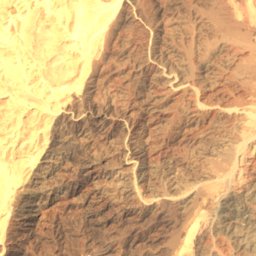
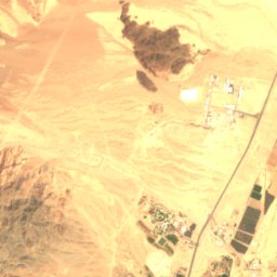
Naẖal Reẖav‘am
Taba, South Sinai