

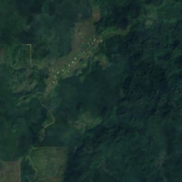
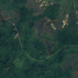
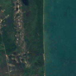


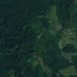
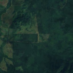
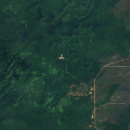
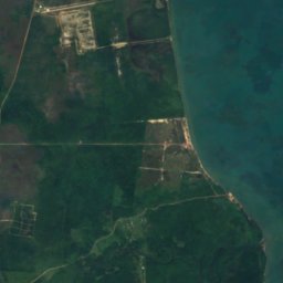

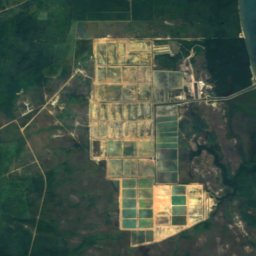
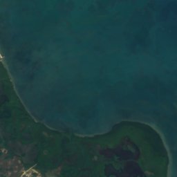

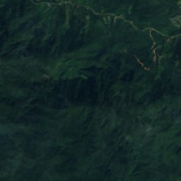
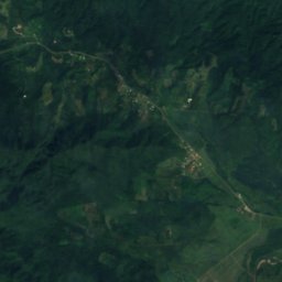
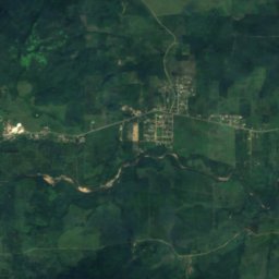
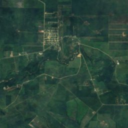
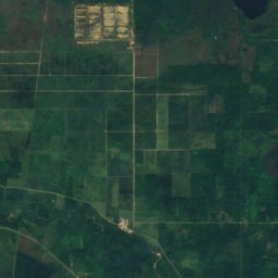
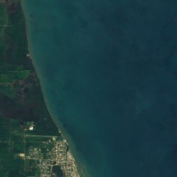
Satelita: Sentinel-2 cloudless 2016 – EOX IT Services GmbH · CC BY 4.0 · Zawiera zmodyfikowane dane Copernicus Sentinel (2016)

Zdjęcie: Belizod · CC0 · Wikimedia Commons
Parque nacional Billy BarquedierZgłoś to zdjęcie · wyświetlane przez odnośnik, nie kopiowane
Parque nacional Billy BarquedierParque nacional Billy BarquedierZgłoś to zdjęcie · wyświetlane przez odnośnik, nie kopiowane
WodospadPomona, Southern District
Hell Gate Falls
Wodospad337 m n.p.m.Najlepszy czas: lut–kwi
Wysokość337 mn.p.m.
Wysokość spadku–wodospadu
Najbliższa miejscowośćPomona7,4 km
17,06° N, 88,39° WWysokość 337 mUTC−6 · czas środkowoamerykański standardowy
Kiedy jechaćPomona · ocena pogody
Najlepszy czaslut–kwi
październik: maks. / min.30° / 24°
Wodospad
Hell Gate Falls w skrócie
Hell Gate Falls to wodospad w Belize (Southern District), w pobliżu miejscowości Pomona.
Wysokość: 337 m n.p.m.
Najbliższa miejscowość to Pomona, 7,4 km na południe; pogoda jest tam najprzyjemniejsza w tych miesiącach: luty, marzec i kwiecień.
Pogoda w okolicy
Prognoza: Pomona30°
Teraz: przelotne opady
Dziś
24 paź
31°
22°
1 mm
niedz.
25 paź
32°
22°
pon.
26 paź
32°
21°
1 mm
wt.
27 paź
33°
23°
1 mm
śr.
28 paź
33°
23°
Przebieg modelu 00:00 UTCAktualizowane kilka razy dziennie
Kiedy jechać
Klimat: PomonaHell Gate Falls: najlepsze miesiące
Ocena miesięczna: Pomona
Komfort, dni bez opadu i słońce · w skali do 10057
sty
60
lut
60
mar
62
kwi
40
maj
32
cze
36
lip
36
sie
32
wrz
39
paź
50
lis
55
gru
Mapa
Hell Gate Falls z lotu ptaka
Przyroda w okolicyCały kraj

Zdjęcie: Belizod · CC0 · Wikimedia CommonsZgłoś to zdjęcie · wyświetlane przez odnośnik, nie kopiowane
Satelita: Sentinel-2 cloudless 2016 – EOX IT Services GmbH · CC BY 4.0 · Zawiera zmodyfikowane dane Copernicus Sentinel (2016)
Satelita: Sentinel-2 cloudless 2016 – EOX IT Services GmbH · CC BY 4.0 · Zawiera zmodyfikowane dane Copernicus Sentinel (2016)

Satelita: Sentinel-2 cloudless 2016 – EOX IT Services GmbH · CC BY 4.0 · Zawiera zmodyfikowane dane Copernicus Sentinel (2016)
Satelita: Sentinel-2 cloudless 2016 – EOX IT Services GmbH · CC BY 4.0 · Zawiera zmodyfikowane dane Copernicus Sentinel (2016)
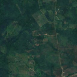
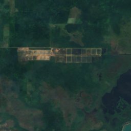
Satelita: Sentinel-2 cloudless 2016 – EOX IT Services GmbH · CC BY 4.0 · Zawiera zmodyfikowane dane Copernicus Sentinel (2016)
Szczyty w okolicyGóry Belize
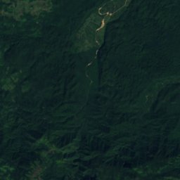
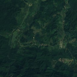
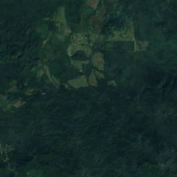
Satelita: Sentinel-2 cloudless 2016 – EOX IT Services GmbH · CC BY 4.0 · Zawiera zmodyfikowane dane Copernicus Sentinel (2016)
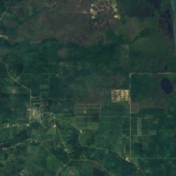
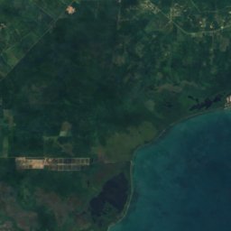
Satelita: Sentinel-2 cloudless 2016 – EOX IT Services GmbH · CC BY 4.0 · Zawiera zmodyfikowane dane Copernicus Sentinel (2016)
Satelita: Sentinel-2 cloudless 2016 – EOX IT Services GmbH · CC BY 4.0 · Zawiera zmodyfikowane dane Copernicus Sentinel (2016)

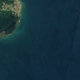
Satelita: Sentinel-2 cloudless 2016 – EOX IT Services GmbH · CC BY 4.0 · Zawiera zmodyfikowane dane Copernicus Sentinel (2016)
Satelita: Sentinel-2 cloudless 2016 – EOX IT Services GmbH · CC BY 4.0 · Zawiera zmodyfikowane dane Copernicus Sentinel (2016)
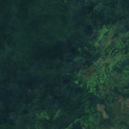
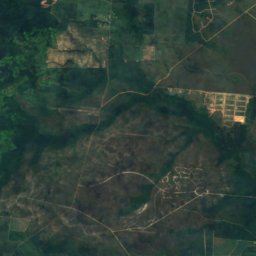
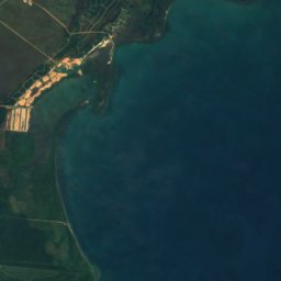
Satelita: Sentinel-2 cloudless 2016 – EOX IT Services GmbH · CC BY 4.0 · Zawiera zmodyfikowane dane Copernicus Sentinel (2016)
Noclegi w okolicy
Miejscowości w pobliżu
Satelita: Sentinel-2 cloudless 2016 – EOX IT Services GmbH · CC BY 4.0 · Zawiera zmodyfikowane dane Copernicus Sentinel (2016)
Pomona
Southern District · 7,4 km S
30°maks. paź
25dni z opadem
39ocena
Satelita: Sentinel-2 cloudless 2016 – EOX IT Services GmbH · CC BY 4.0 · Zawiera zmodyfikowane dane Copernicus Sentinel (2016)
Hope Creek
Southern District · 10 km SE
30°maks. paź
23dni z opadem
39ocena
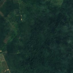
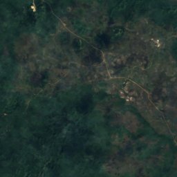
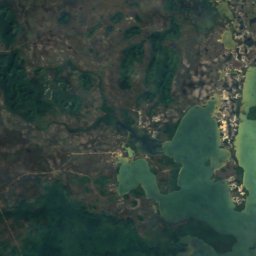
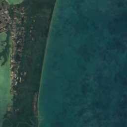

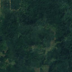
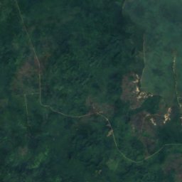
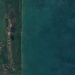

Satelita: Sentinel-2 cloudless 2016 – EOX IT Services GmbH · CC BY 4.0 · Zawiera zmodyfikowane dane Copernicus Sentinel (2016)
Gales Point
Belize District · 14 km NE
30°maks. paź
23dni z opadem
39ocena
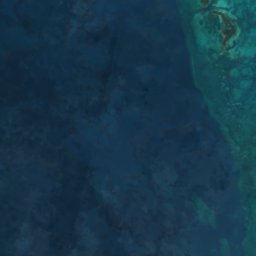
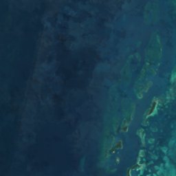
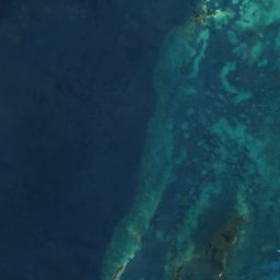
W okolicy
Pomona i okolice
Przyroda
Zdjęcie: Belizod · CC0 · Wikimedia CommonsZgłoś to zdjęcie · wyświetlane przez odnośnik, nie kopiowane
Parque nacional Billy Barquedier
Park narodowy
Satelita: Sentinel-2 cloudless 2016 – EOX IT Services GmbH · CC BY 4.0 · Zawiera zmodyfikowane dane Copernicus Sentinel (2016)
Mayflower Bocawina National Park
Park narodowy
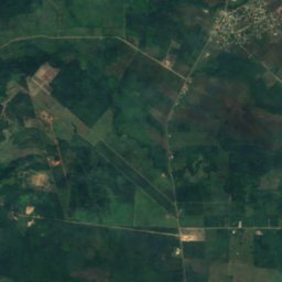
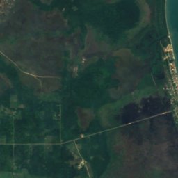
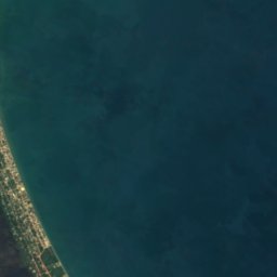


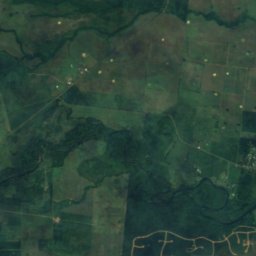
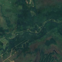
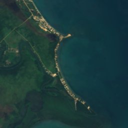

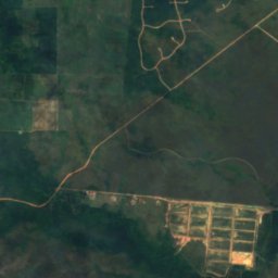
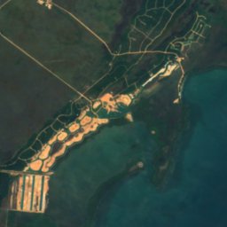

Satelita: Sentinel-2 cloudless 2016 – EOX IT Services GmbH · CC BY 4.0 · Zawiera zmodyfikowane dane Copernicus Sentinel (2016)
Sittee River
Rzeka
Góry

Satelita: Sentinel-2 cloudless 2016 – EOX IT Services GmbH · CC BY 4.0 · Zawiera zmodyfikowane dane Copernicus Sentinel (2016)
Victoria Peak
1120 m · Maya
Satelita: Sentinel-2 cloudless 2016 – EOX IT Services GmbH · CC BY 4.0 · Zawiera zmodyfikowane dane Copernicus Sentinel (2016)
The Molar
781 m
Satelita: Sentinel-2 cloudless 2016 – EOX IT Services GmbH · CC BY 4.0 · Zawiera zmodyfikowane dane Copernicus Sentinel (2016)
Mount Mossy
613 m
Muzea

Zdjęcie: Pgbk87 · CC BY-SA 3.0 · Wikimedia CommonsZgłoś to zdjęcie · wyświetlane przez odnośnik, nie kopiowane
