








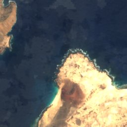
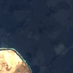


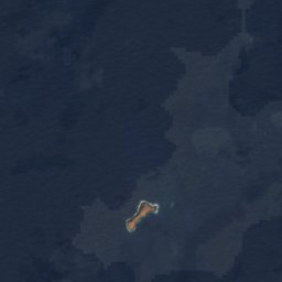


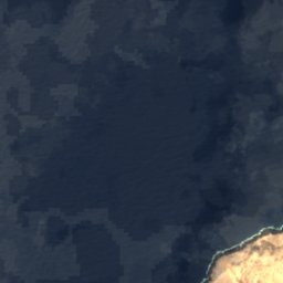
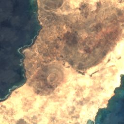
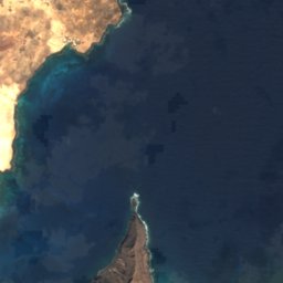








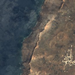
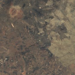
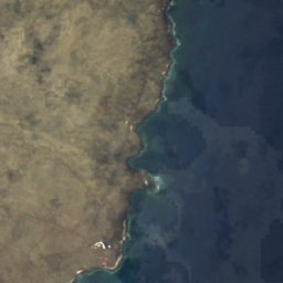

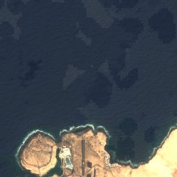
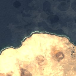
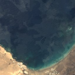
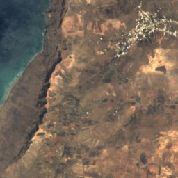
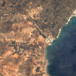
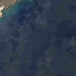

위성: Sentinel-2 cloudless 2016(EOX IT Services GmbH) · CC BY 4.0 · 수정된 Copernicus Sentinel 데이터(2016) 포함
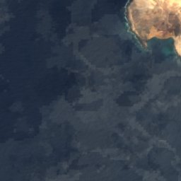
 Peñas del Chache
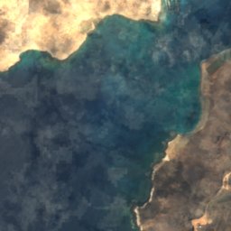
 Famara
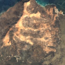
 Monte Corona
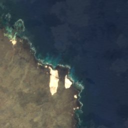
 Montaña Tamia
해변Caleta de Sebo, 카나리아 제도
El Risco
해변최적 4월 · 6월–7월
고도–해발
수온 (최고)23°C9월
가장 가까운 지점Caleta de Sebo2.1 km
북위 29.21°, 서경 13.50°UTC+0 · 서유럽 표준시
여행 시기Caleta de Sebo · 날씨 점수
최적 시기4월 · 6월–7월
10월: 최고 / 최저26° / 19°
해변
El Risco 개요
El Risco는 스페인(카나리아 제도)에 있는 해변입니다.
가장 가까운 지점은 북쪽으로 2.1 km 떨어진 Caleta de Sebo입니다. 그곳의 날씨가 가장 쾌적한 달은 4월, 6월, 7월입니다.
바다 수온이 가장 높은 달은 9월이며, 약 23°C입니다.
주변의 현재 날씨
Caleta de Sebo의 일기 예보25°
현재 날씨: 맑음
오늘
10월 27일
28°
21°
수
10월 28일
27°
20°
목
10월 29일
26°
20°
금
10월 30일
26°
19°
토
10월 31일
26°
19°
모델 계산 시각 00:00 UTC하루 여러 번 갱신
연중 수온과 기온
Caleta de Sebo 앞바다의 해수면 온도와 평균 최고 기온(월별).1월19°20°
2월18°20°
3월18°21°
4월19°22°
5월20°23°
6월21°24°
7월22°25°
8월22°26°
9월23°26°
10월23°26°
11월22°24°
12월20°21°
바다기온, 일 최고
언제 갈까
Caleta de Sebo의 기후El Risco: 여행하기 좋은 시기
Caleta de Sebo의 월별 평가
쾌적도, 비 없는 날, 일조 · 100점 만점93
1월
92
2월
94
3월
97
4월
97
5월
100
6월
98
7월
93
8월
94
9월
89
10월
89
11월
92
12월
지도
El Risco 하늘에서
주변 자연전국
위성: Sentinel-2 cloudless 2016(EOX IT Services GmbH) · CC BY 4.0 · 수정된 Copernicus Sentinel 데이터(2016) 포함
위성: Sentinel-2 cloudless 2016(EOX IT Services GmbH) · CC BY 4.0 · 수정된 Copernicus Sentinel 데이터(2016) 포함
위성: Sentinel-2 cloudless 2016(EOX IT Services GmbH) · CC BY 4.0 · 수정된 Copernicus Sentinel 데이터(2016) 포함
위성: Sentinel-2 cloudless 2016(EOX IT Services GmbH) · CC BY 4.0 · 수정된 Copernicus Sentinel 데이터(2016) 포함
위성: Sentinel-2 cloudless 2016(EOX IT Services GmbH) · CC BY 4.0 · 수정된 Copernicus Sentinel 데이터(2016) 포함
위성: Sentinel-2 cloudless 2016(EOX IT Services GmbH) · CC BY 4.0 · 수정된 Copernicus Sentinel 데이터(2016) 포함
주변 정상스페인의 산


근처 숙소
바로 근처의 지점


주변
Caleta de Sebo 일대
자연


산
박물관·미술관












위성: Sentinel-2 cloudless 2016(EOX IT Services GmbH) · CC BY 4.0 · 수정된 Copernicus Sentinel 데이터(2016) 포함


