자연
사모아의 물가, 빙하, 야생
호수, 폭포, 빙하, 국립공원, 산장. 각각의 위치, 규모, 주변 날씨를 소개합니다.
호수2곳(개별 페이지 있음)
폭포6곳(개별 페이지 있음)
국립공원2곳(개별 페이지 있음)
해변4곳(개별 페이지 있음)

호수
사모아의 호수

폭포
사모아의 폭포

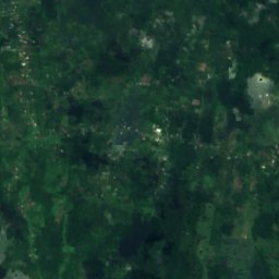
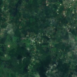
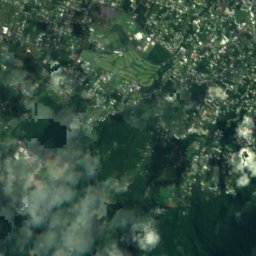
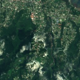
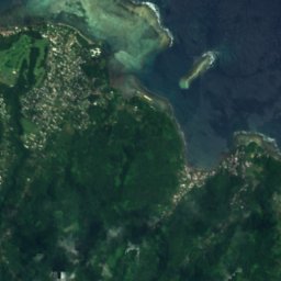
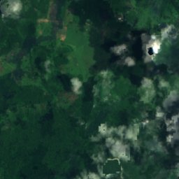
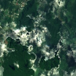
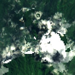
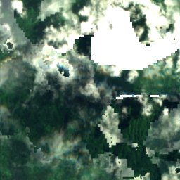
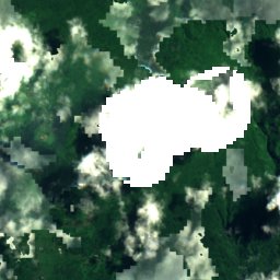
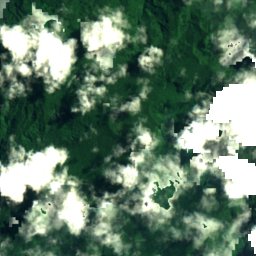
위성: Sentinel-2 cloudless 2016(EOX IT Services GmbH) · CC BY 4.0 · 수정된 Copernicus Sentinel 데이터(2016) 포함
Papapapaitai Falls
Si’umu, Tuamasaga
665 m
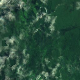
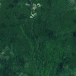
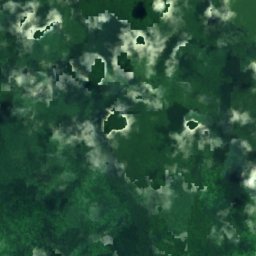
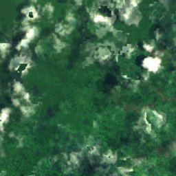
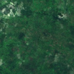
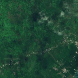
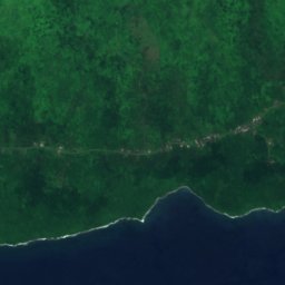
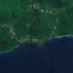
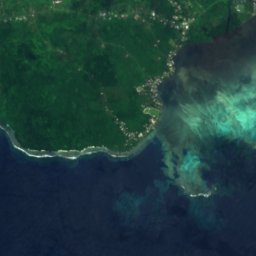
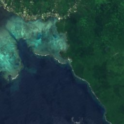
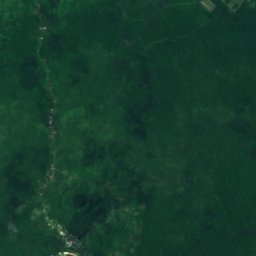
위성: Sentinel-2 cloudless 2016(EOX IT Services GmbH) · CC BY 4.0 · 수정된 Copernicus Sentinel 데이터(2016) 포함
Afu Aau Falls
Vailoa, Palauli
54 m
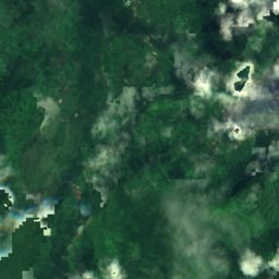
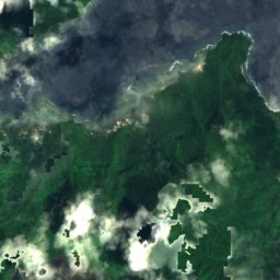
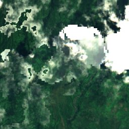
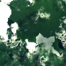
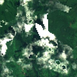
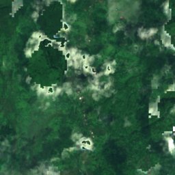
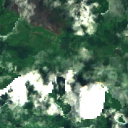
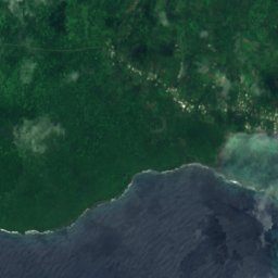
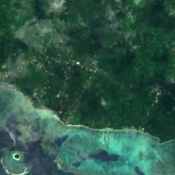
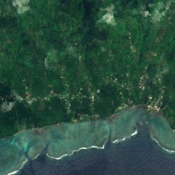
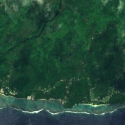
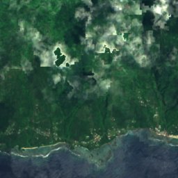
위성: Sentinel-2 cloudless 2016(EOX IT Services GmbH) · CC BY 4.0 · 수정된 Copernicus Sentinel 데이터(2016) 포함
Sopoaga Falls
Matatufu, Atua
135 m
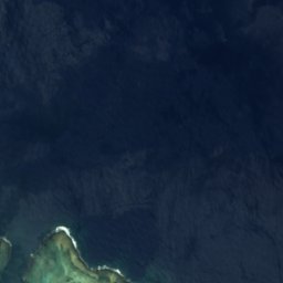

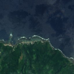
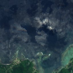
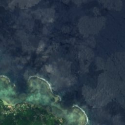
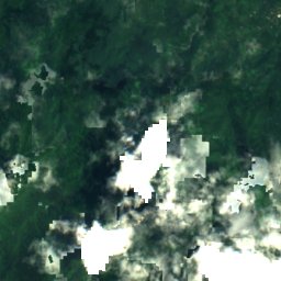
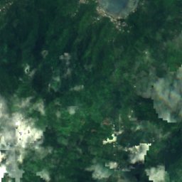
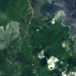
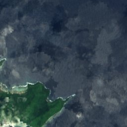
위성: Sentinel-2 cloudless 2016(EOX IT Services GmbH) · CC BY 4.0 · 수정된 Copernicus Sentinel 데이터(2016) 포함
Falefa Falls
Falefa, Atua
25 m
위성: Sentinel-2 cloudless 2016(EOX IT Services GmbH) · CC BY 4.0 · 수정된 Copernicus Sentinel 데이터(2016) 포함
So'agu Falls
Vailima, Tuamasaga
621 m
국립공원
사모아의 국립공원

해변
사모아의 해변

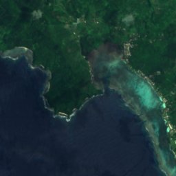
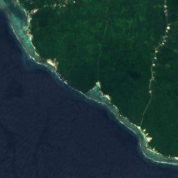
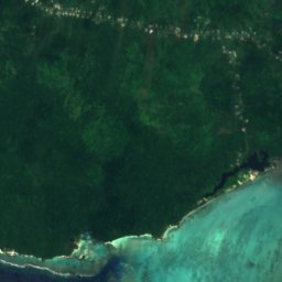
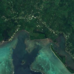

위성: Sentinel-2 cloudless 2016(EOX IT Services GmbH) · CC BY 4.0 · 수정된 Copernicus Sentinel 데이터(2016) 포함
Matareva Beach
Savaia, A'ana
8 m
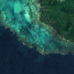
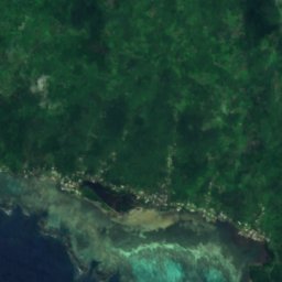


위성: Sentinel-2 cloudless 2016(EOX IT Services GmbH) · CC BY 4.0 · 수정된 Copernicus Sentinel 데이터(2016) 포함
Return to Paradise Beach
Savaia, A'ana
7 m
위성: Sentinel-2 cloudless 2016(EOX IT Services GmbH) · CC BY 4.0 · 수정된 Copernicus Sentinel 데이터(2016) 포함
Salamumu Beach
Savaia, A'ana
12 m
섬
사모아의 섬


사진: CloudSurfer at the English-language Wikipedia · CC BY-SA 3.0 · Wikimedia Commons이 사진 신고 · 링크만, 저장 없음
아폴리마섬
Lalovi, A'ana
28 m


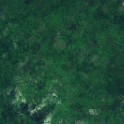
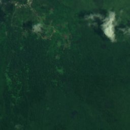
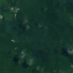
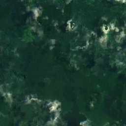
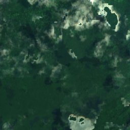
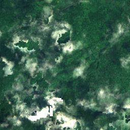
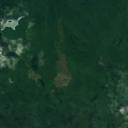
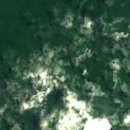
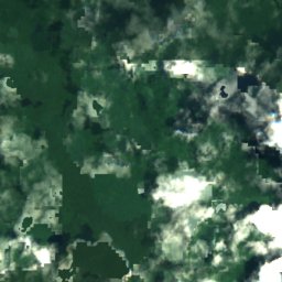
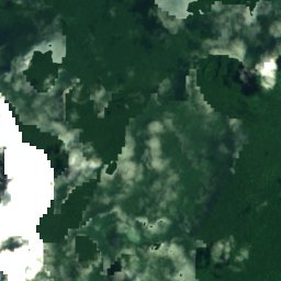
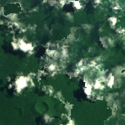
위성: Sentinel-2 cloudless 2016(EOX IT Services GmbH) · CC BY 4.0 · 수정된 Copernicus Sentinel 데이터(2016) 포함
사바이섬
Aopo, Gaga'ifomauga
1,858 m
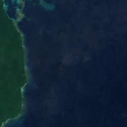
위성: Sentinel-2 cloudless 2016(EOX IT Services GmbH) · CC BY 4.0 · 수정된 Copernicus Sentinel 데이터(2016) 포함
우폴루섬
Vailima, Tuamasaga
1,100 m





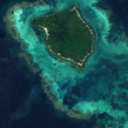
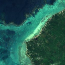
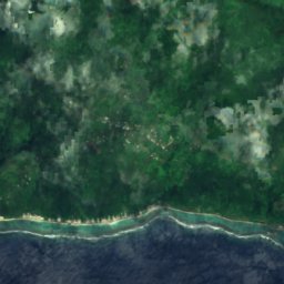
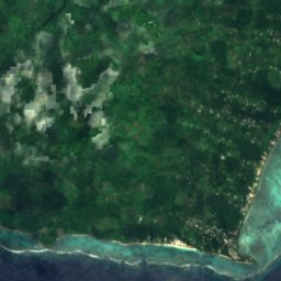
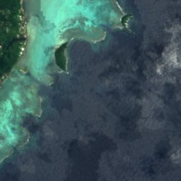
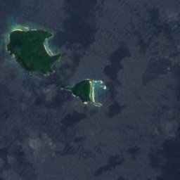



전체 목록: 섬 31곳
- 눌로파섬
- 마노노섬
- 사바이섬
- 아폴리마섬
- 우폴루섬
- A‘ana Reef
- Albatross Island
- Asi, Samoa
- Avalua
- East Reef
- Fagalepolu
- Falelatai Reef
- Fanuatapu
- Fatuanava Island
- Lepuia'i Island
- Mata'afa Island
- Namua
- Niss Reef
- Nu'uavasa Island
- Nu'ulua
- Nu'unefu Island
- Nu'upulu Island
- Nu'usafe'e Island
- Nu'utele
- Nu'utele Island
- Olga Reef
- Satuimalealiifono
- Taulagap'a Island
- Taumeasina Island
- Utuie
- West Reef
동굴
사모아의 동굴


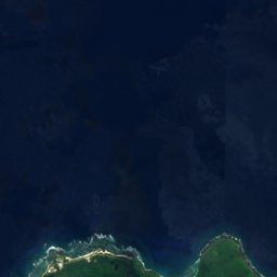



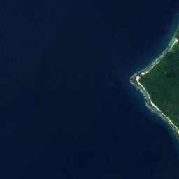
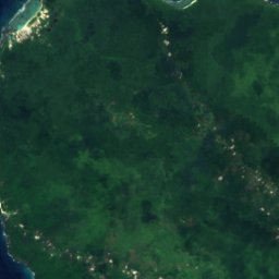
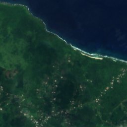
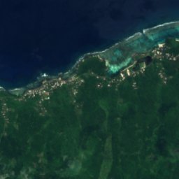


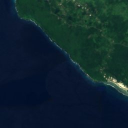
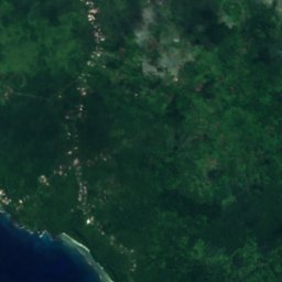
위성: Sentinel-2 cloudless 2016(EOX IT Services GmbH) · CC BY 4.0 · 수정된 Copernicus Sentinel 데이터(2016) 포함
Mago
Tufutafoe, Vaisigano







위성: Sentinel-2 cloudless 2016(EOX IT Services GmbH) · CC BY 4.0 · 수정된 Copernicus Sentinel 데이터(2016) 포함
Cave of Vaatausili
Tufutafoe, Vaisigano
8 m


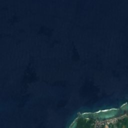
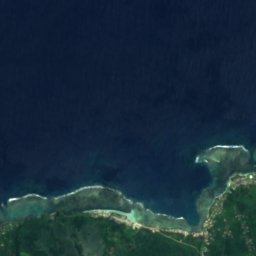
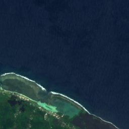
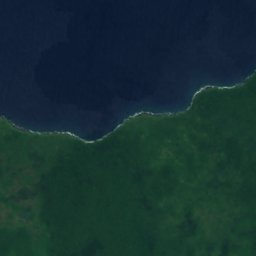
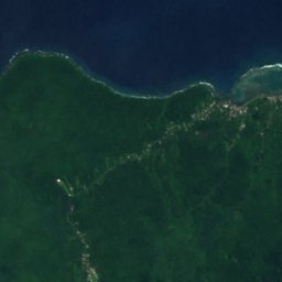
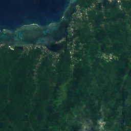
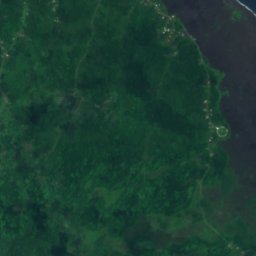
위성: Sentinel-2 cloudless 2016(EOX IT Services GmbH) · CC BY 4.0 · 수정된 Copernicus Sentinel 데이터(2016) 포함
Dwarf Cave
Lefagaoali'i, Gaga'ifomauga
186 m
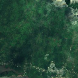
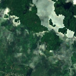
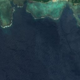
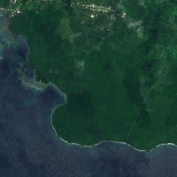
위성: Sentinel-2 cloudless 2016(EOX IT Services GmbH) · CC BY 4.0 · 수정된 Copernicus Sentinel 데이터(2016) 포함
Pe‘ape‘a Cave
Si’umu, Tuamasaga
203 m
강
사모아의 강



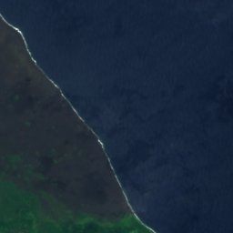

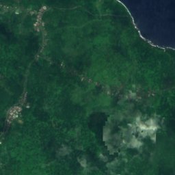
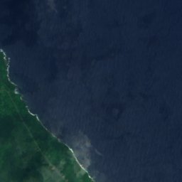
위성: Sentinel-2 cloudless 2016(EOX IT Services GmbH) · CC BY 4.0 · 수정된 Copernicus Sentinel 데이터(2016) 포함
Maliolio River
Patamea, Gaga'emauga
위성: Sentinel-2 cloudless 2016(EOX IT Services GmbH) · CC BY 4.0 · 수정된 Copernicus Sentinel 데이터(2016) 포함
Vaisigano River
Vailima, Tuamasaga


위성: Sentinel-2 cloudless 2016(EOX IT Services GmbH) · CC BY 4.0 · 수정된 Copernicus Sentinel 데이터(2016) 포함
Lata River
Sili, Palauli