自然
サモアの水辺、氷河、原野
湖、滝、氷河、国立公園、山小屋。それぞれの場所、規模、周辺の天気を掲載。
湖2か所(個別ページあり)
滝6か所(個別ページあり)
国立公園2か所(個別ページあり)
ビーチ4か所(個別ページあり)


滝
サモアの滝

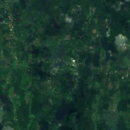
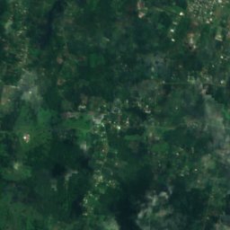
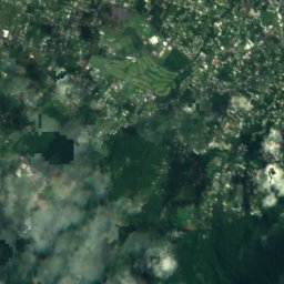
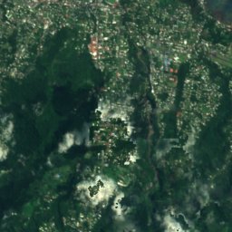
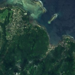
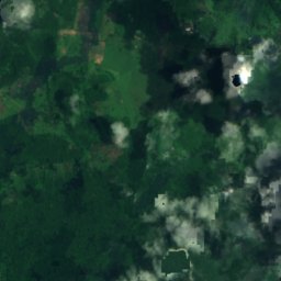
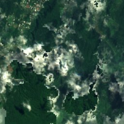
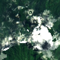
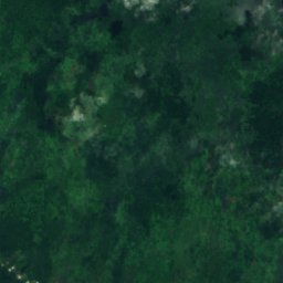
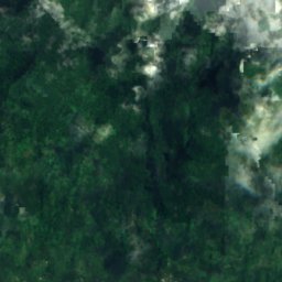
衛星: Sentinel-2 cloudless 2016(EOX IT Services GmbH) · CC BY 4.0 · 改変したCopernicus Sentinelデータ(2016年)を含みます
Papapapaitai Falls
Si’umu, Tuamasaga
665 m
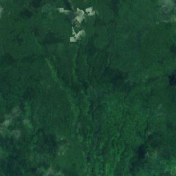
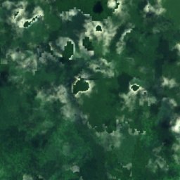
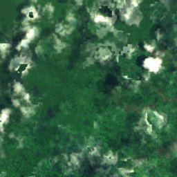
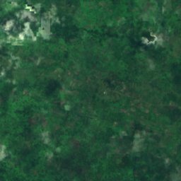
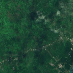
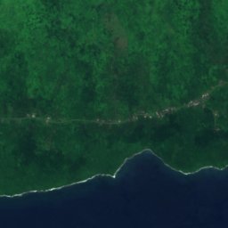
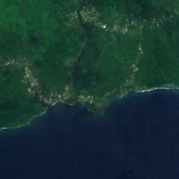
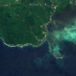
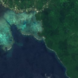
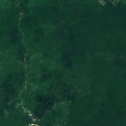
衛星: Sentinel-2 cloudless 2016(EOX IT Services GmbH) · CC BY 4.0 · 改変したCopernicus Sentinelデータ(2016年)を含みます
Afu Aau Falls
Vailoa, Palauli
54 m
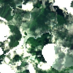
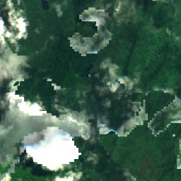
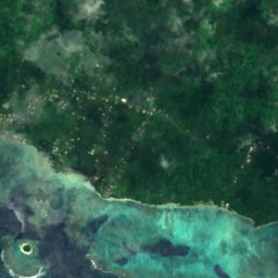
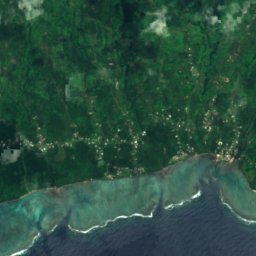
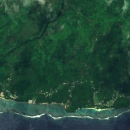
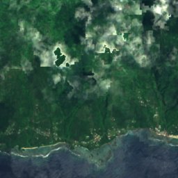
衛星: Sentinel-2 cloudless 2016(EOX IT Services GmbH) · CC BY 4.0 · 改変したCopernicus Sentinelデータ(2016年)を含みます
Sopoaga Falls
Matatufu, Atua
135 m
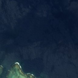

衛星: Sentinel-2 cloudless 2016(EOX IT Services GmbH) · CC BY 4.0 · 改変したCopernicus Sentinelデータ(2016年)を含みます
Falefa Falls
Falefa, Atua
25 m
衛星: Sentinel-2 cloudless 2016(EOX IT Services GmbH) · CC BY 4.0 · 改変したCopernicus Sentinelデータ(2016年)を含みます
So'agu Falls
Vailima, Tuamasaga
621 m
国立公園
サモアの国立公園

ビーチ
サモアのビーチ

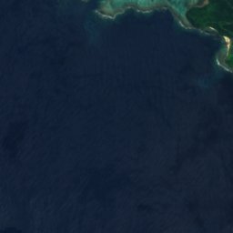
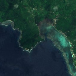
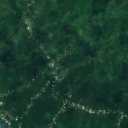
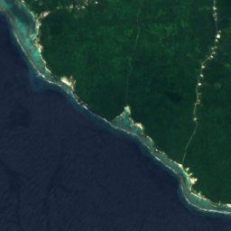
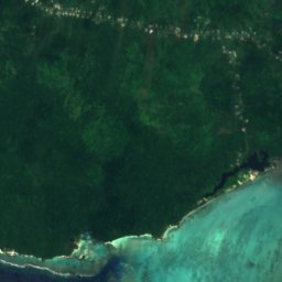
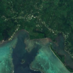
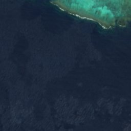
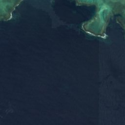
衛星: Sentinel-2 cloudless 2016(EOX IT Services GmbH) · CC BY 4.0 · 改変したCopernicus Sentinelデータ(2016年)を含みます
Matareva Beach
Savaia, A'ana
8 m
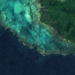
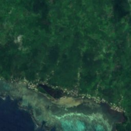
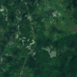


衛星: Sentinel-2 cloudless 2016(EOX IT Services GmbH) · CC BY 4.0 · 改変したCopernicus Sentinelデータ(2016年)を含みます
Return to Paradise Beach
Savaia, A'ana
7 m
衛星: Sentinel-2 cloudless 2016(EOX IT Services GmbH) · CC BY 4.0 · 改変したCopernicus Sentinelデータ(2016年)を含みます
Salamumu Beach
Savaia, A'ana
12 m
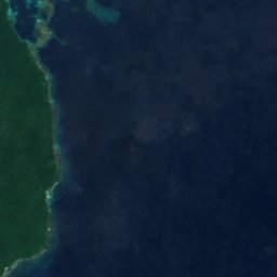
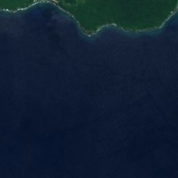
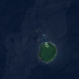
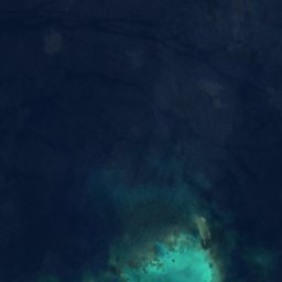
島
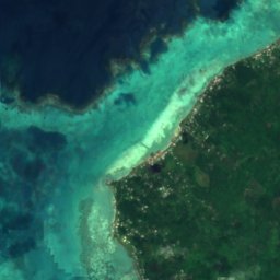
サモアの島


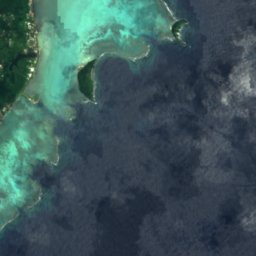
写真: CloudSurfer at the English-language Wikipedia · CC BY-SA 3.0 · Wikimedia Commonsこの写真を報告 · リンクのみ、保存なし
アポリマ島
Lalovi, A'ana
28 m


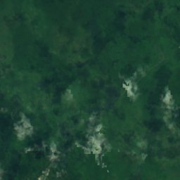
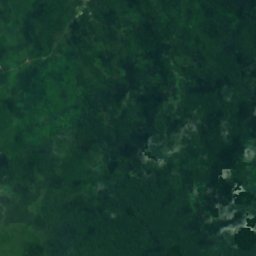
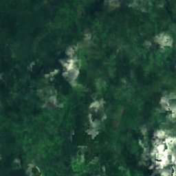
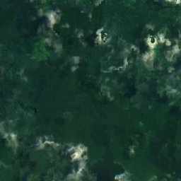
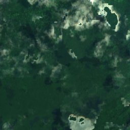
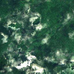
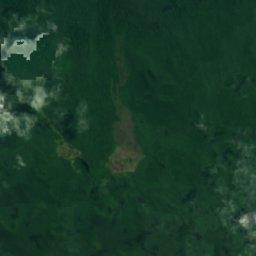
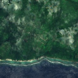
衛星: Sentinel-2 cloudless 2016(EOX IT Services GmbH) · CC BY 4.0 · 改変したCopernicus Sentinelデータ(2016年)を含みます
サバイイ島
Aopo, Gaga'ifomauga
1,858 m
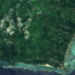
衛星: Sentinel-2 cloudless 2016(EOX IT Services GmbH) · CC BY 4.0 · 改変したCopernicus Sentinelデータ(2016年)を含みます
ウポル島
Vailima, Tuamasaga
1,100 m





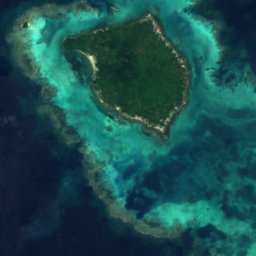
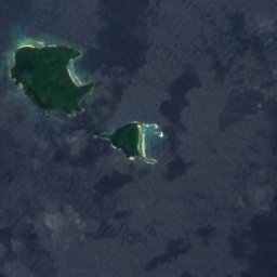



全リスト:島31か所
- A‘ana Reef
- Albatross Island
- Asi, Samoa
- Avalua
- East Reef
- Fagalepolu
- Falelatai Reef
- Fanuatapu島
- Fatuanava Island
- Lepuia'i Island
- Mata'afa Island
- Niss Reef
- Nu'uavasa Island
- Nu'unefu Island
- Nu'upulu Island
- Nu'utele Island
- Olga Reef
- Satuimalealiifono
- Taulagap'a Island
- Taumeasina Island
- Utuie
- West Reef
- アポリマ島
- ウポル島
- サバイイ島
- ナウサフィー島
- ナウロッパ島
- ナミュア島
- ヌウテレ島
- ヌウルア島
- マノノ島
洞窟
サモアの洞窟


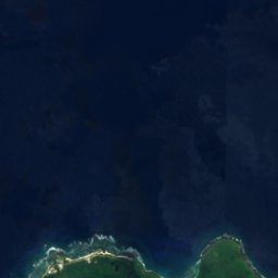



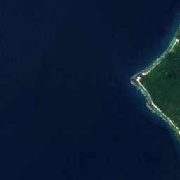
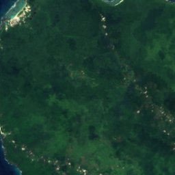
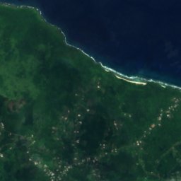
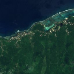


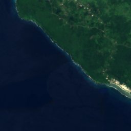
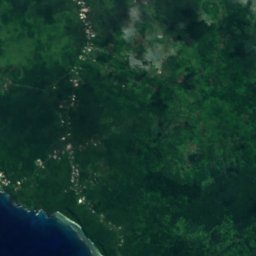
衛星: Sentinel-2 cloudless 2016(EOX IT Services GmbH) · CC BY 4.0 · 改変したCopernicus Sentinelデータ(2016年)を含みます
Mago
Tufutafoe, Vaisigano







衛星: Sentinel-2 cloudless 2016(EOX IT Services GmbH) · CC BY 4.0 · 改変したCopernicus Sentinelデータ(2016年)を含みます
Cave of Vaatausili
Tufutafoe, Vaisigano
8 m


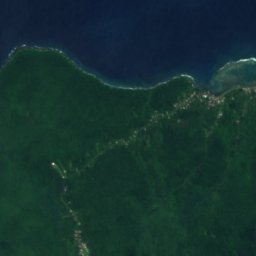
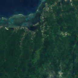
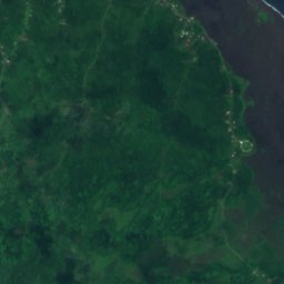
衛星: Sentinel-2 cloudless 2016(EOX IT Services GmbH) · CC BY 4.0 · 改変したCopernicus Sentinelデータ(2016年)を含みます
Dwarf Cave
Lefagaoali'i, Gaga'ifomauga
186 m
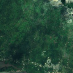
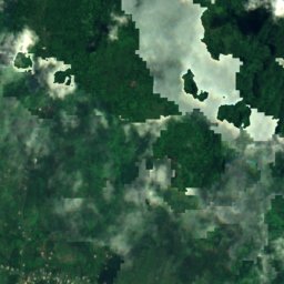
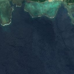
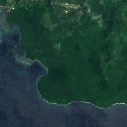
衛星: Sentinel-2 cloudless 2016(EOX IT Services GmbH) · CC BY 4.0 · 改変したCopernicus Sentinelデータ(2016年)を含みます
Pe‘ape‘a Cave
Si’umu, Tuamasaga
203 m
川
サモアの川



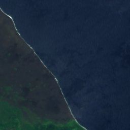

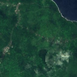
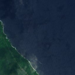
衛星: Sentinel-2 cloudless 2016(EOX IT Services GmbH) · CC BY 4.0 · 改変したCopernicus Sentinelデータ(2016年)を含みます
Maliolio River
Patamea, Gaga'emauga
衛星: Sentinel-2 cloudless 2016(EOX IT Services GmbH) · CC BY 4.0 · 改変したCopernicus Sentinelデータ(2016年)を含みます
ヴァイシガノ川
Vailima, Tuamasaga


衛星: Sentinel-2 cloudless 2016(EOX IT Services GmbH) · CC BY 4.0 · 改変したCopernicus Sentinelデータ(2016年)を含みます
Lata River
Sili, Palauli