자연
감비아의 물가, 빙하, 야생
호수, 폭포, 빙하, 국립공원, 산장. 각각의 위치, 규모, 주변 날씨를 소개합니다.
국립공원3곳(개별 페이지 있음)
해변3곳(개별 페이지 있음)
섬16곳(개별 페이지 있음)
강1곳(개별 페이지 있음)

사진: Earth Science and Remote Sensing Unit, Lyndon B. Johnson Space Center · Public domain · Wikimedia Commons이 사진 신고 · 링크만, 저장 없음
국립공원
감비아의 국립공원

사진: Earth Science and Remote Sensing Unit, Lyndon B. Johnson Space Center · Public domain · Wikimedia Commons이 사진 신고 · 링크만, 저장 없음
Niumi National Park
Essau, North Bank
4,940 km²

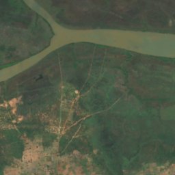
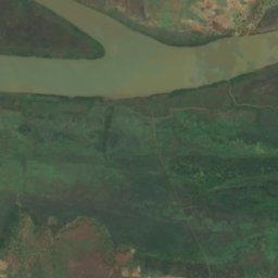
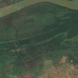
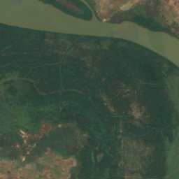
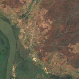
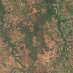
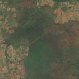
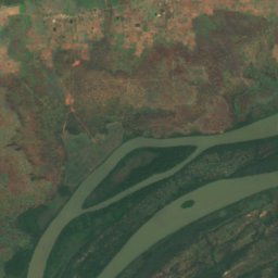
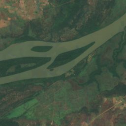
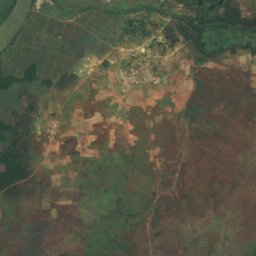
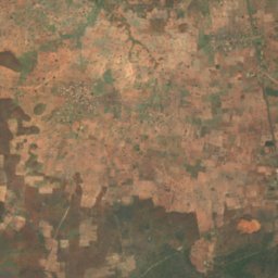
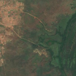
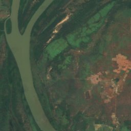
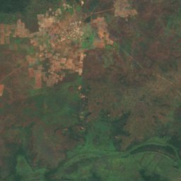
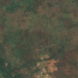
위성: Sentinel-2 cloudless 2016(EOX IT Services GmbH) · CC BY 4.0 · 수정된 Copernicus Sentinel 데이터(2016) 포함
River Gambia National Park
Brikama Ba, Central River
585 km²
해변
감비아의 해변



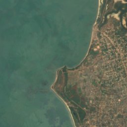
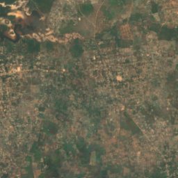
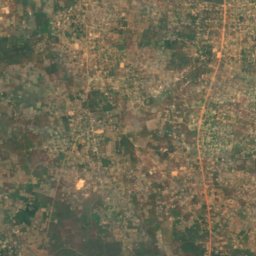


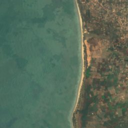
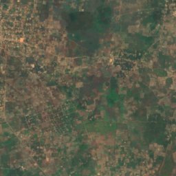
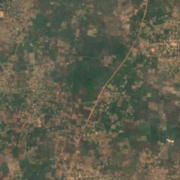


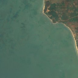
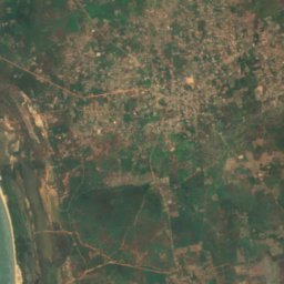
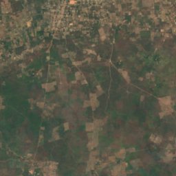
위성: Sentinel-2 cloudless 2016(EOX IT Services GmbH) · CC BY 4.0 · 수정된 Copernicus Sentinel 데이터(2016) 포함
Sanyang Beach
Gunjur, Western
위성: Sentinel-2 cloudless 2016(EOX IT Services GmbH) · CC BY 4.0 · 수정된 Copernicus Sentinel 데이터(2016) 포함
Paradise Beach
Gunjur, Western
섬
감비아의 섬


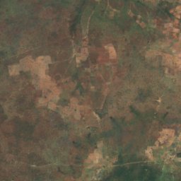
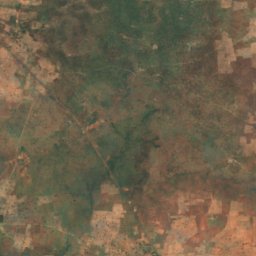
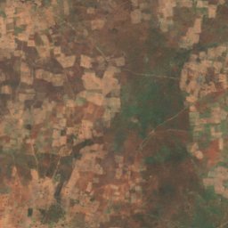
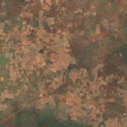
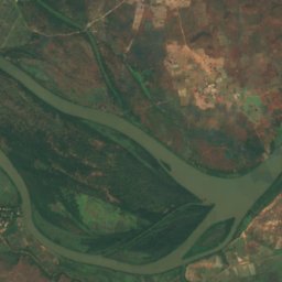
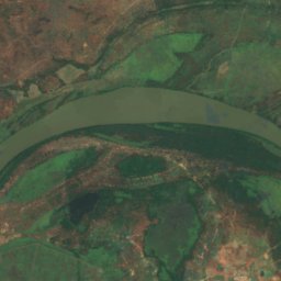
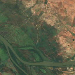
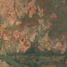
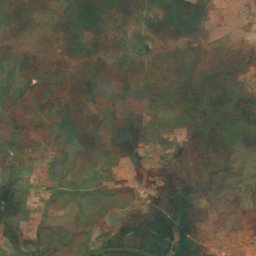
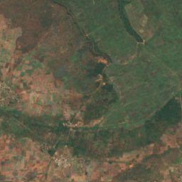
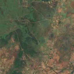
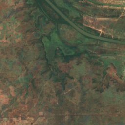
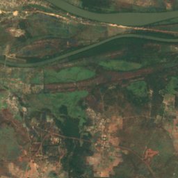
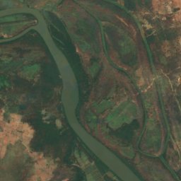
위성: Sentinel-2 cloudless 2016(EOX IT Services GmbH) · CC BY 4.0 · 수정된 Copernicus Sentinel 데이터(2016) 포함
MacCarthy Island
Janjanbureh, Central River
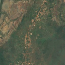
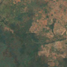
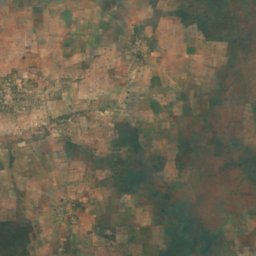
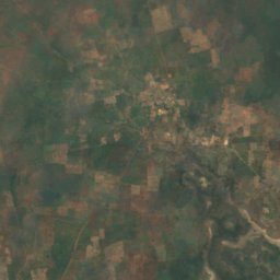
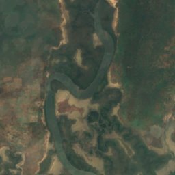
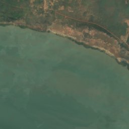
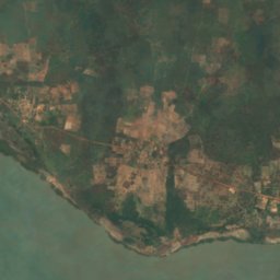
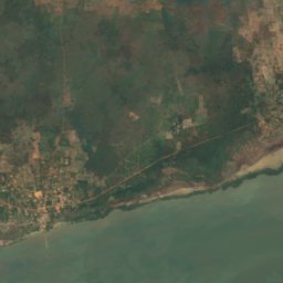
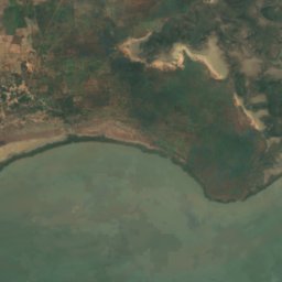
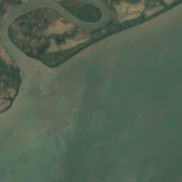



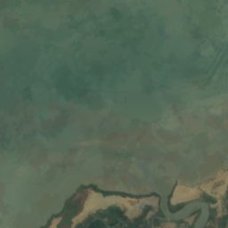
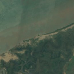
위성: Sentinel-2 cloudless 2016(EOX IT Services GmbH) · CC BY 4.0 · 수정된 Copernicus Sentinel 데이터(2016) 포함
쿤타킨테섬
Jufureh, North Bank
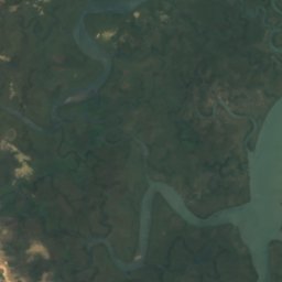
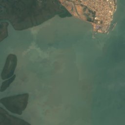


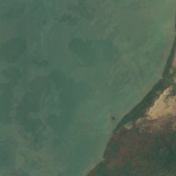
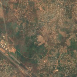
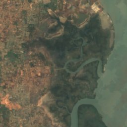

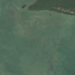
위성: Sentinel-2 cloudless 2016(EOX IT Services GmbH) · CC BY 4.0 · 수정된 Copernicus Sentinel 데이터(2016) 포함
Dog Island
Lamin, North Bank
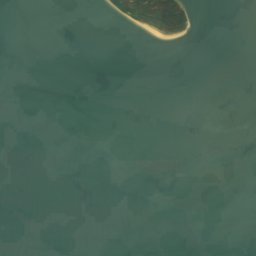
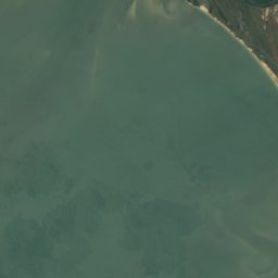
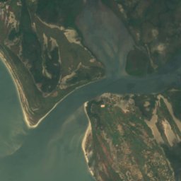
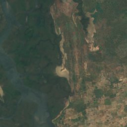
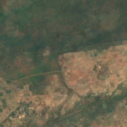

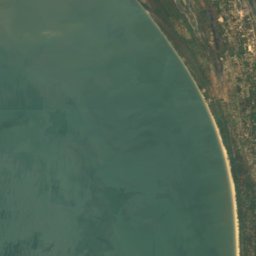
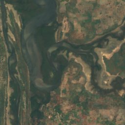
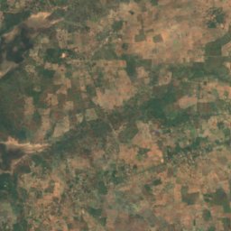
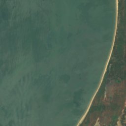
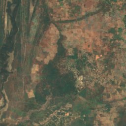
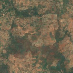
위성: Sentinel-2 cloudless 2016(EOX IT Services GmbH) · CC BY 4.0 · 수정된 Copernicus Sentinel 데이터(2016) 포함
Jinack Island
Essau, North Bank
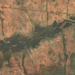
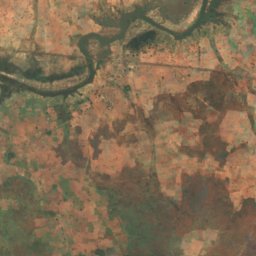
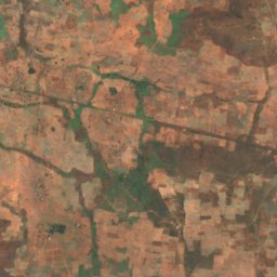
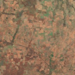
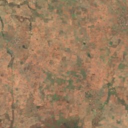
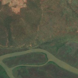
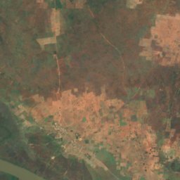
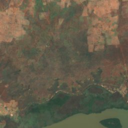
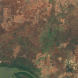
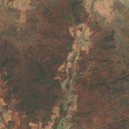
위성: Sentinel-2 cloudless 2016(EOX IT Services GmbH) · CC BY 4.0 · 수정된 Copernicus Sentinel 데이터(2016) 포함
Bird Island
Brikama Ba, Central River
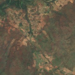
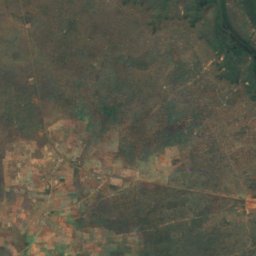
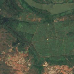
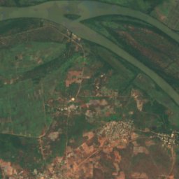
위성: Sentinel-2 cloudless 2016(EOX IT Services GmbH) · CC BY 4.0 · 수정된 Copernicus Sentinel 데이터(2016) 포함
Mimang Island
Brikama Ba, Central River
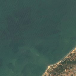
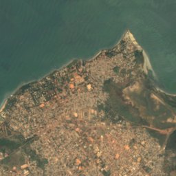
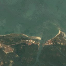
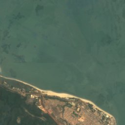
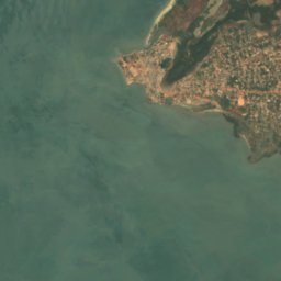
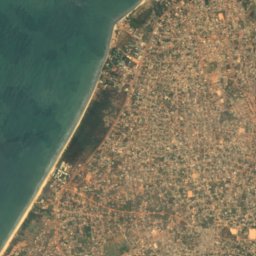
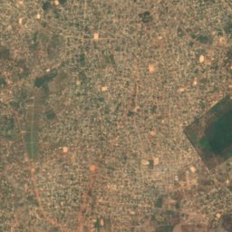
위성: Sentinel-2 cloudless 2016(EOX IT Services GmbH) · CC BY 4.0 · 수정된 Copernicus Sentinel 데이터(2016) 포함
Lamin Island
Banjul, Banjul
강
감비아의 강
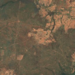
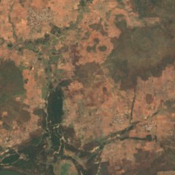
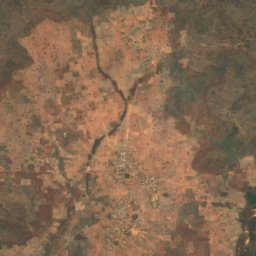
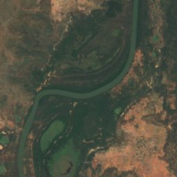
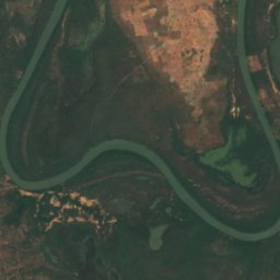
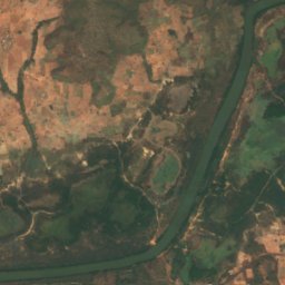
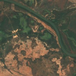
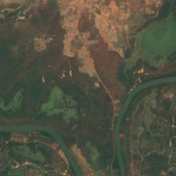
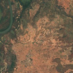
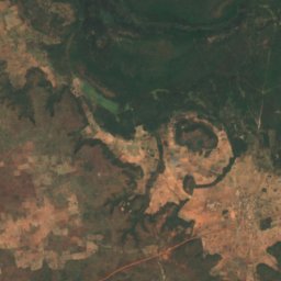
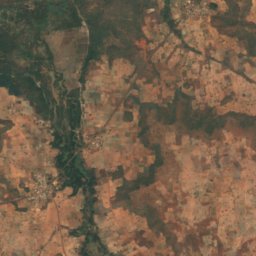
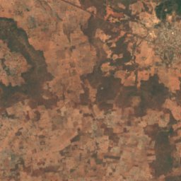
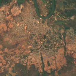
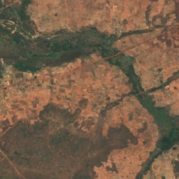
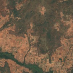


위성: Sentinel-2 cloudless 2016(EOX IT Services GmbH) · CC BY 4.0 · 수정된 Copernicus Sentinel 데이터(2016) 포함
Prufu Bolon
Basse Santa Su, Upper River