Nature
Eaux, glaces et grands espaces de Gambie
Lacs, cascades, glaciers, parcs nationaux et refuges de montagne, chacun avec sa situation, sa taille et la météo des localités voisines.
Parcs nationaux3ayant leur page
Plages3ayant leur page
Îles16ayant leur page
Rivières et fleuves1ayant leur page

Photo : Earth Science and Remote Sensing Unit, Lyndon B. Johnson Space Center · Public domain · Wikimedia CommonsSignaler cette photo · affichée par lien, non copiée
Parcs nationaux
Parcs nationaux de Gambie

Photo : Earth Science and Remote Sensing Unit, Lyndon B. Johnson Space Center · Public domain · Wikimedia CommonsSignaler cette photo · affichée par lien, non copiée
Parc national de Niumi
Essau, North Bank
4 940 km²

Photo : Bjørn Christian Tørrissen · CC BY-SA 3.0 · Wikimedia CommonsSignaler cette photo · affichée par lien, non copiée
Parc national de Kiang Ouest
Dumbutu, Lower River
19 km²
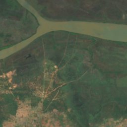
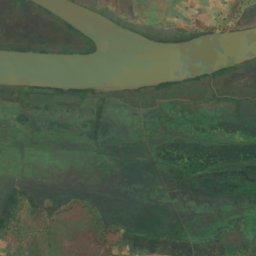
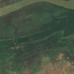
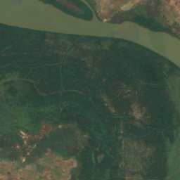
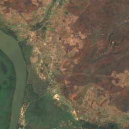
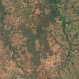
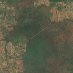
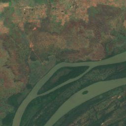
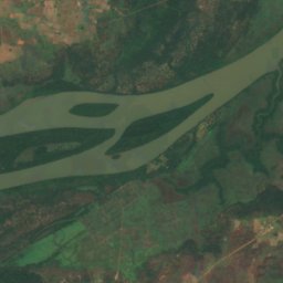
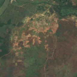
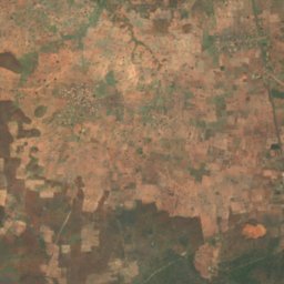
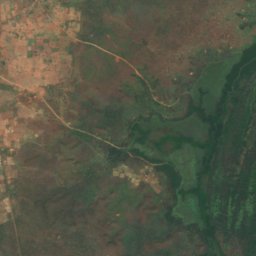
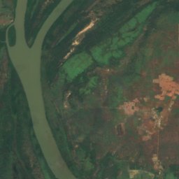
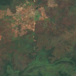
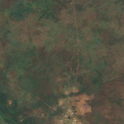
Satellite : Sentinel-2 cloudless 2016 par EOX IT Services GmbH · CC BY 4.0 · Contient des données Copernicus Sentinel modifiées (2016)
Parc national du Gambie
Brikama Ba, Central River
585 km²
Plages
Plages de Gambie


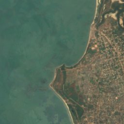


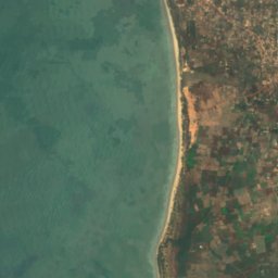
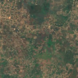
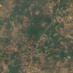


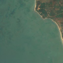
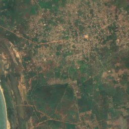
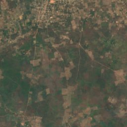
Satellite : Sentinel-2 cloudless 2016 par EOX IT Services GmbH · CC BY 4.0 · Contient des données Copernicus Sentinel modifiées (2016)
Sanyang Beach
Gunjur, Western
Satellite : Sentinel-2 cloudless 2016 par EOX IT Services GmbH · CC BY 4.0 · Contient des données Copernicus Sentinel modifiées (2016)
Paradise Beach
Gunjur, Western
Îles
Îles de Gambie

Photo : Unknown author · Public domain · Wikimedia CommonsSignaler cette photo · affichée par lien, non copiée
Banjul Island
Banjul, Banjul

Photo : Ji-Elle · Public domain · Wikimedia CommonsSignaler cette photo · affichée par lien, non copiée
Île des Oiseaux
Bakau Wasulun, Western
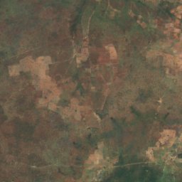
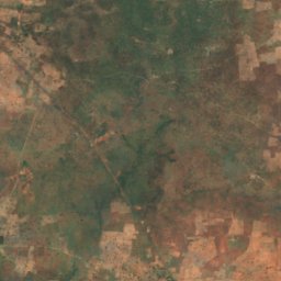
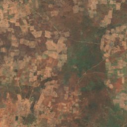
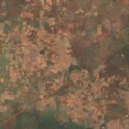
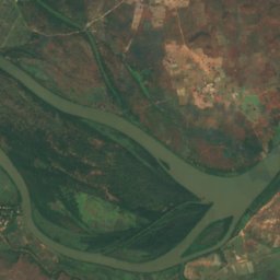
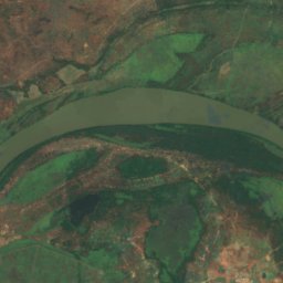
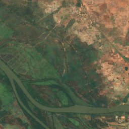
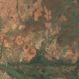
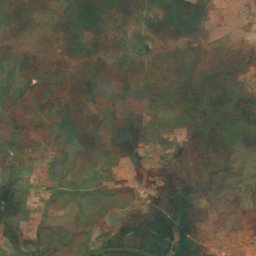
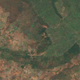
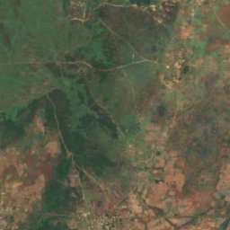
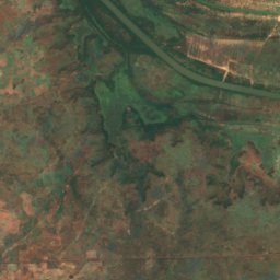
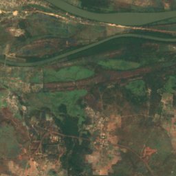
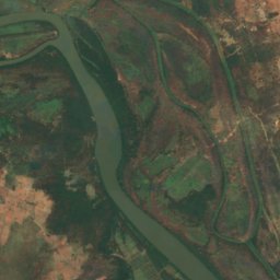
Satellite : Sentinel-2 cloudless 2016 par EOX IT Services GmbH · CC BY 4.0 · Contient des données Copernicus Sentinel modifiées (2016)
Île MacCarthy
Janjanbureh, Central River
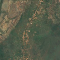
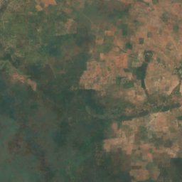
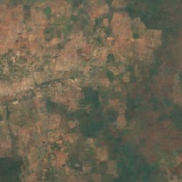
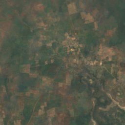
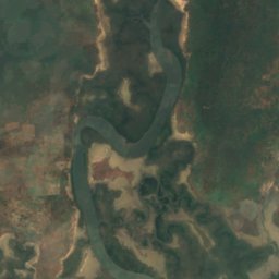
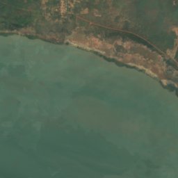
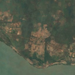
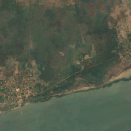
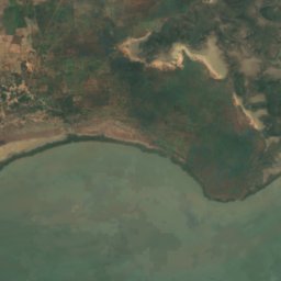
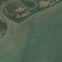
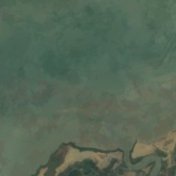
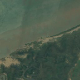
Satellite : Sentinel-2 cloudless 2016 par EOX IT Services GmbH · CC BY 4.0 · Contient des données Copernicus Sentinel modifiées (2016)
Île Kunta Kinteh
Jufureh, North Bank
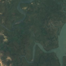
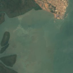
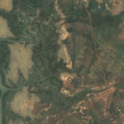
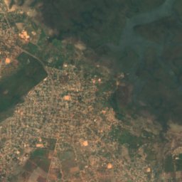
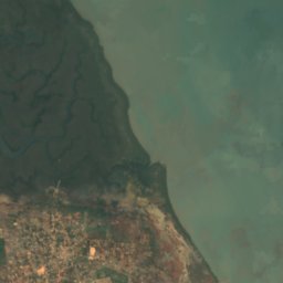
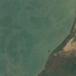
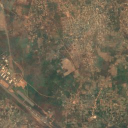
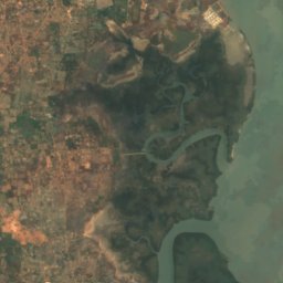
Satellite : Sentinel-2 cloudless 2016 par EOX IT Services GmbH · CC BY 4.0 · Contient des données Copernicus Sentinel modifiées (2016)
Dog Island
Lamin, North Bank
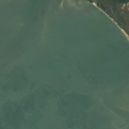
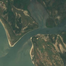
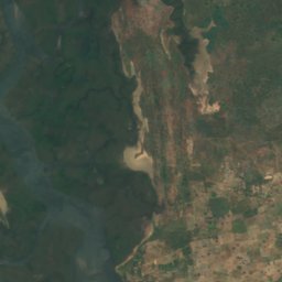
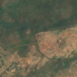
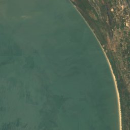
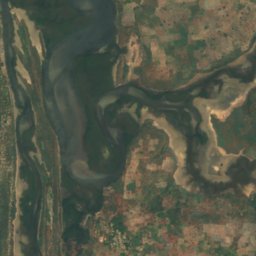
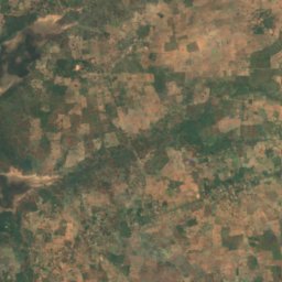
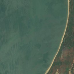
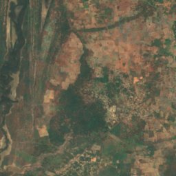
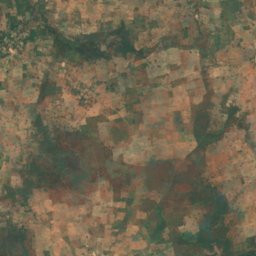
Satellite : Sentinel-2 cloudless 2016 par EOX IT Services GmbH · CC BY 4.0 · Contient des données Copernicus Sentinel modifiées (2016)
Jinack Island
Essau, North Bank
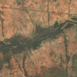
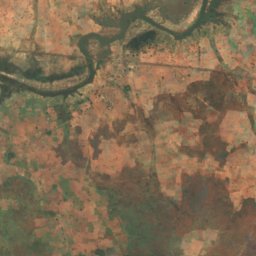
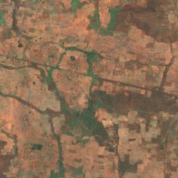
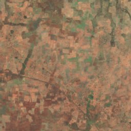
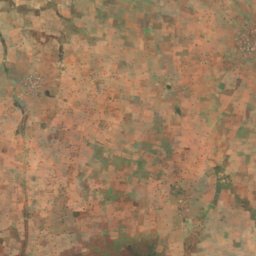
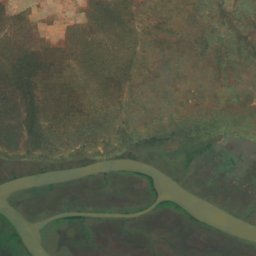
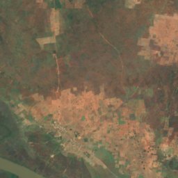
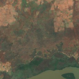
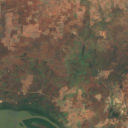
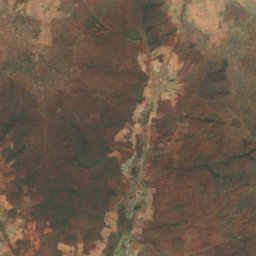
Satellite : Sentinel-2 cloudless 2016 par EOX IT Services GmbH · CC BY 4.0 · Contient des données Copernicus Sentinel modifiées (2016)
Bird Island
Brikama Ba, Central River
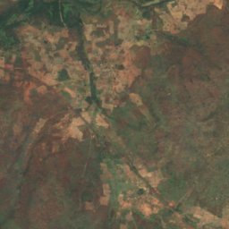
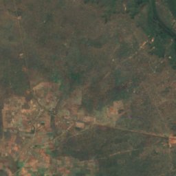
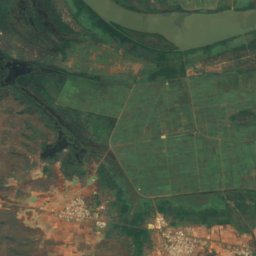
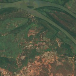
Satellite : Sentinel-2 cloudless 2016 par EOX IT Services GmbH · CC BY 4.0 · Contient des données Copernicus Sentinel modifiées (2016)
Mimang Island
Brikama Ba, Central River
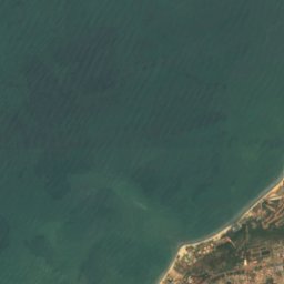
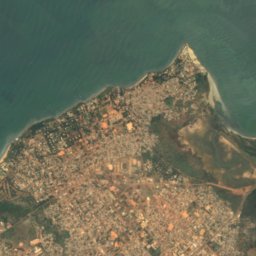
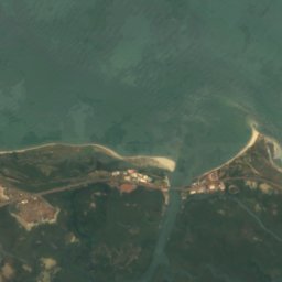
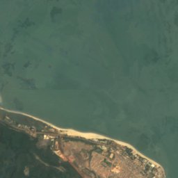
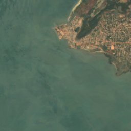
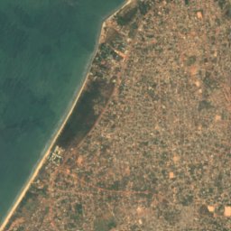
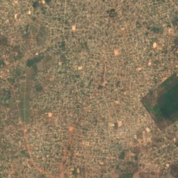
Satellite : Sentinel-2 cloudless 2016 par EOX IT Services GmbH · CC BY 4.0 · Contient des données Copernicus Sentinel modifiées (2016)
Lamin Island
Banjul, Banjul
Rivières et fleuves
Rivières et fleuves de Gambie
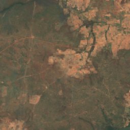
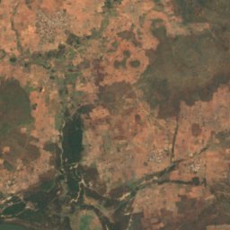
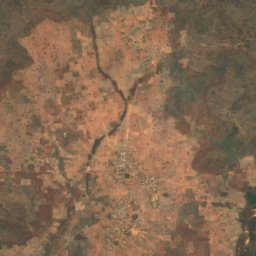
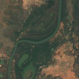
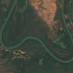
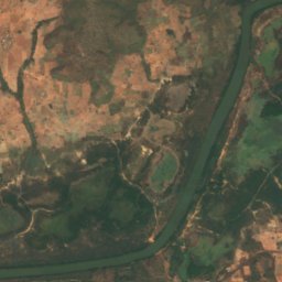
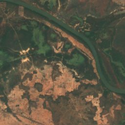
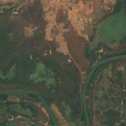
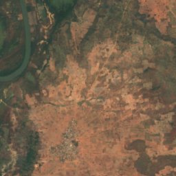
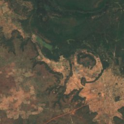
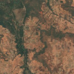
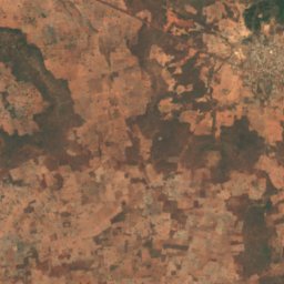
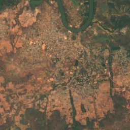
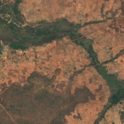
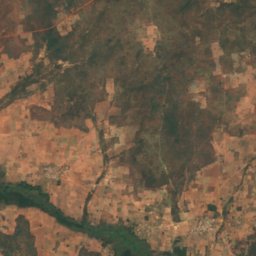


Satellite : Sentinel-2 cloudless 2016 par EOX IT Services GmbH · CC BY 4.0 · Contient des données Copernicus Sentinel modifiées (2016)
Bolong Prufu
Basse Santa Su, Upper River