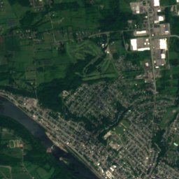
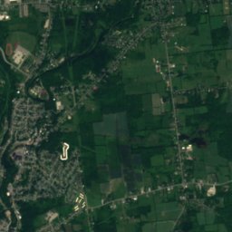
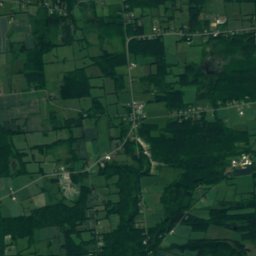
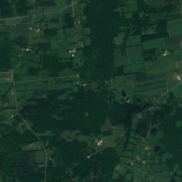
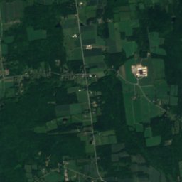
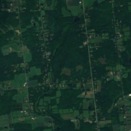
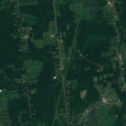
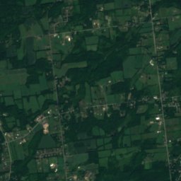
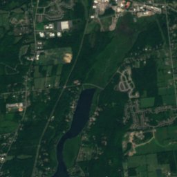
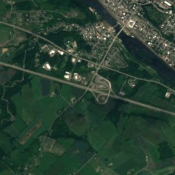
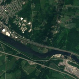
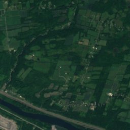
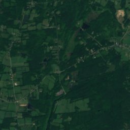
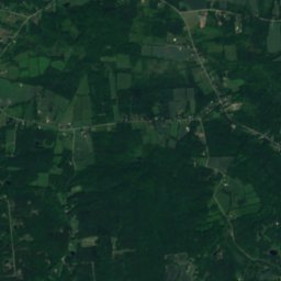
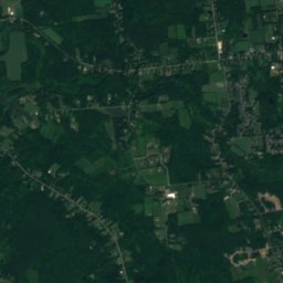
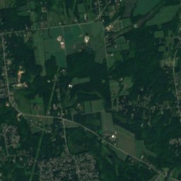
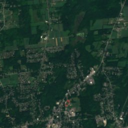
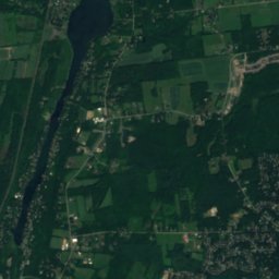
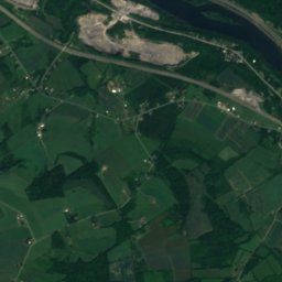
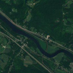
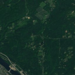
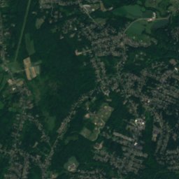
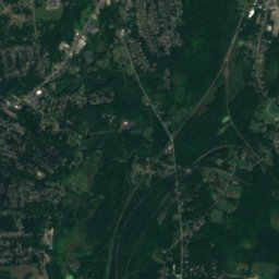
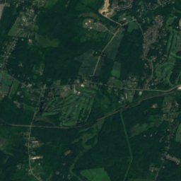
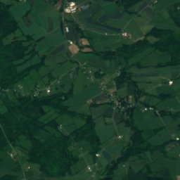
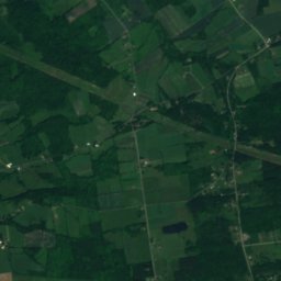
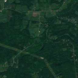
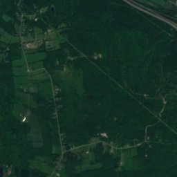
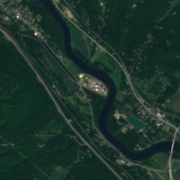
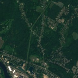
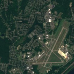
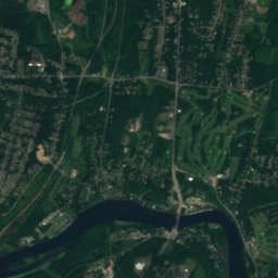
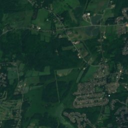
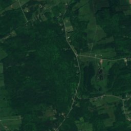
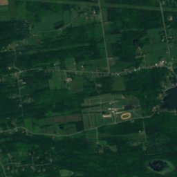
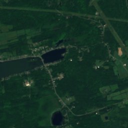
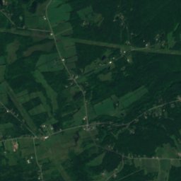
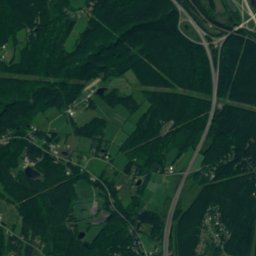
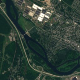
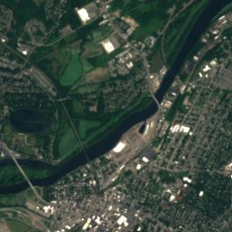
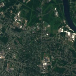
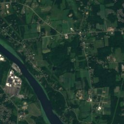
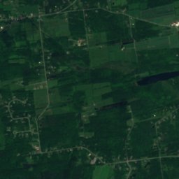
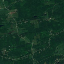
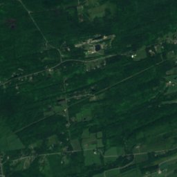
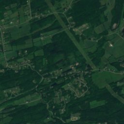
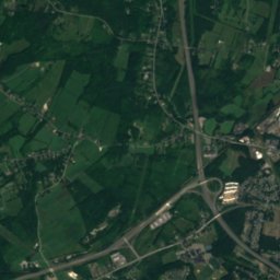
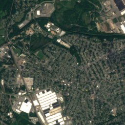
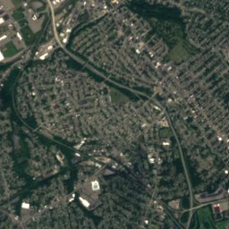
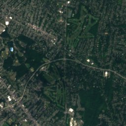
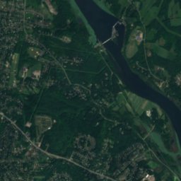
Satellit: Sentinel-2 cloudless 2016 by EOX IT Services GmbH · CC BY 4.0 · Contains modified Copernicus Sentinel data 2016

Foto: Geotek (talk) · Public domain · Wikimedia Commons
Plotter Kill PreserveFoto melden · verlinkt, nicht gespeichert
Plotter Kill PreservePlotter Kill PreserveFoto melden · verlinkt, nicht gespeichert
FlussScotia, New York
Plotter Kill
FlussAm besten Mai · Sep.–Okt.
Höhe–über dem Meer
Fläche–Gesamtfläche
Nächster OrtScotia4,6 km
42,85° N, 74,01° WUTC−4 · Nordamerikanische Ostküsten-Sommerzeit
ReisezeitScotia · Wetterwertung
Beste ZeitMai · Sep.–Okt.
Oktober: Max. / Min.17° / 5°
Fluss
Plotter Kill in Kürze
Plotter Kill ist ein Fluss in Scotia, New York, USA.
Der nächste Ort ist Scotia, 4,6 km südöstlich; dort ist das Wetter im Mai, September und Oktober am besten.
Wetter in der Nähe
Vorhersage für Scotia9°
Sonnig – jetzt
Heute
23. Okt.
13°
2°
Sa
24. Okt.
15°
0°
So
25. Okt.
17°
-1°
Mo
26. Okt.
19°
3°
Di
27. Okt.
11°
1°
Modelllauf 12:00 UTCMehrmals täglich aktualisiert
Reisezeit
Klima in ScotiaDie besten Monate rund um Plotter Kill
Monats-Score in Scotia
Komfort, trockene Tage und Sonne · von 10029
Jan.
31
Feb.
29
März
53
Apr.
64
Mai
59
Juni
52
Juli
57
Aug.
75
Sep.
60
Okt.
28
Nov.
24
Dez.
Karte
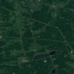
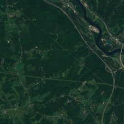
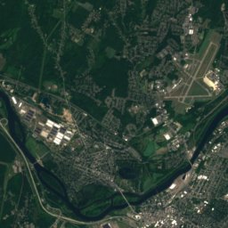
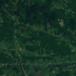
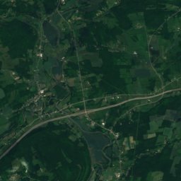
Plotter Kill von oben
Natur in der NäheAlles in den USA
Satellit: Sentinel-2 cloudless 2016 by EOX IT Services GmbH · CC BY 4.0 · Contains modified Copernicus Sentinel data 2016
Satellit: Sentinel-2 cloudless 2016 by EOX IT Services GmbH · CC BY 4.0 · Contains modified Copernicus Sentinel data 2016
Satellit: Sentinel-2 cloudless 2016 by EOX IT Services GmbH · CC BY 4.0 · Contains modified Copernicus Sentinel data 2016

Satellit: Sentinel-2 cloudless 2016 by EOX IT Services GmbH · CC BY 4.0 · Contains modified Copernicus Sentinel data 2016
Satellit: Sentinel-2 cloudless 2016 by EOX IT Services GmbH · CC BY 4.0 · Contains modified Copernicus Sentinel data 2016
Übernachten
Orte ganz in der Nähe


Foto: Schenectady County · CC BY-SA 2.0 · Wikimedia CommonsFoto melden · verlinkt, nicht gespeichert
Pattersonville-Rotterdam Junction
New York · 4,8 km NW
16°max. Okt.
12Regentage
59Score

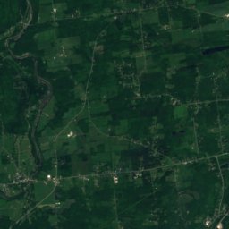
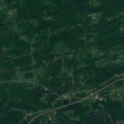
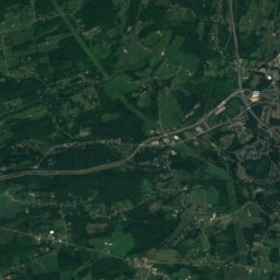
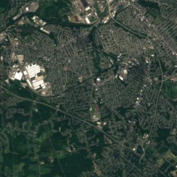
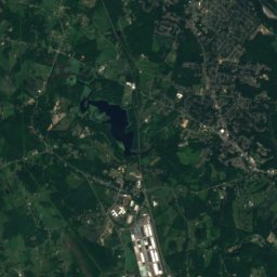
Satellit: Sentinel-2 cloudless 2016 by EOX IT Services GmbH · CC BY 4.0 · Contains modified Copernicus Sentinel data 2016
Princetown
New York · 8,7 km SW
16°max. Okt.
12Regentage
58Score
In der Umgebung
Scotia und Umgebung
Natur
Satellit: Sentinel-2 cloudless 2016 by EOX IT Services GmbH · CC BY 4.0 · Contains modified Copernicus Sentinel data 2016
Moccasin Kill
Fluss
Satellit: Sentinel-2 cloudless 2016 by EOX IT Services GmbH · CC BY 4.0 · Contains modified Copernicus Sentinel data 2016
Washout Creek
Fluss
Berge
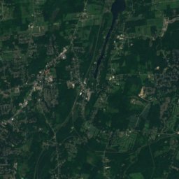
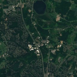
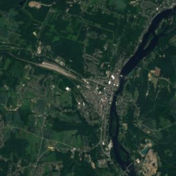
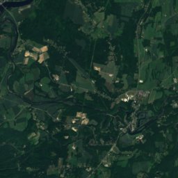
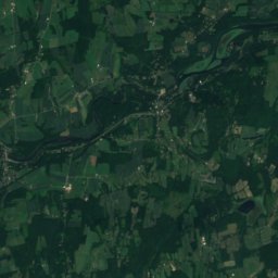
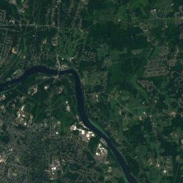
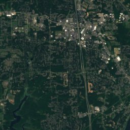
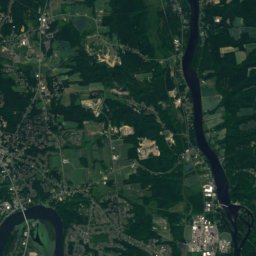
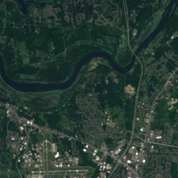
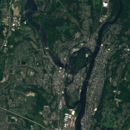
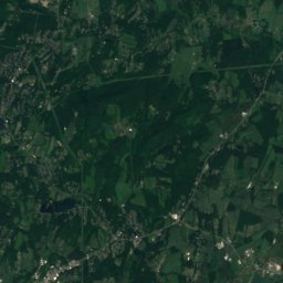
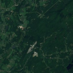
Satellit: Sentinel-2 cloudless 2016 by EOX IT Services GmbH · CC BY 4.0 · Contains modified Copernicus Sentinel data 2016
Mount Rafinesque
360 m
Denkmäler

Schenectady City Hall
Eintrag im National Register of Historic Places · 1931

Satellit: Sentinel-2 cloudless 2016 by EOX IT Services GmbH · CC BY 4.0 · Contains modified Copernicus Sentinel data 2016
Abraham Glen House
Eintrag im National Register of Historic Places · 1730
Museen



Satellit: Sentinel-2 cloudless 2016 by EOX IT Services GmbH · CC BY 4.0 · Contains modified Copernicus Sentinel data 2016
Museum of Innovation and Science

Foto: Doug Kerr from Albany, NY, United States · CC BY-SA 2.0 · Wikimedia CommonsFoto melden · verlinkt, nicht gespeichert

Empire State Aerosciences Museum
Luftfahrtmuseum · 1984