
Foto: Jsfouche · CC BY-SA 3.0 · Wikimedia Commons
Anna Ruby FallsFoto melden · verlinkt, nicht gespeichert
Anna Ruby FallsFoto melden · verlinkt, nicht gespeichert

Foto: Jsfouche · CC BY-SA 3.0 · Wikimedia Commons
Blue Hole FallsFoto melden · verlinkt, nicht gespeichert
Blue Hole FallsBlue Hole FallsFoto melden · verlinkt, nicht gespeichert

Foto: Jsfouche · CC BY-SA 3.0 · Wikimedia Commons
High Shoals Creek FallsFoto melden · verlinkt, nicht gespeichert
High Shoals Creek FallsHigh Shoals Creek FallsFoto melden · verlinkt, nicht gespeichert
 Brasstown Bald
 Wolfpen Ridge
WasserfallRobertstown, Georgia
Anna Ruby Falls
WasserfallAm besten Apr. · Sep.–Okt.
Höhe–über dem Meer
Fallhöhe–des Wasserfalls
Nächster OrtRobertstown6,0 km
34,76° N, 83,71° WUTC−4 · Nordamerikanische Ostküsten-Sommerzeit
ReisezeitRobertstown · Wetterwertung
Beste ZeitApr. · Sep.–Okt.
Oktober: Max. / Min.21° / 8°
Wasserfall
Anna Ruby Falls in Kürze
Anna Ruby Falls ist ein Wasserfall in Robertstown, Georgia, USA.
Der nächste Ort ist Robertstown, 6,0 km südwestlich; dort ist das Wetter im April, September und Oktober am besten.
Wetter in der Nähe
Vorhersage für Robertstown21°
Sonnig – jetzt
Heute
30. Okt.
27°
9°
Sa
31. Okt.
19°
11°
So
1. Nov.
18°
8°
Mo
2. Nov.
20°
9°
Di
3. Nov.
21°
7°
Modelllauf 12:00 UTCMehrmals täglich aktualisiert
Reisezeit
Klima in RobertstownDie besten Monate rund um Anna Ruby Falls
Monats-Score in Robertstown
Komfort, trockene Tage und Sonne · von 10030
Jan.
36
Feb.
59
März
71
Apr.
65
Mai
53
Juni
46
Juli
49
Aug.
70
Sep.
77
Okt.
63
Nov.
32
Dez.
Karte
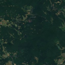
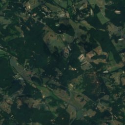
Anna Ruby Falls von oben
Natur in der NäheAlles in den USA


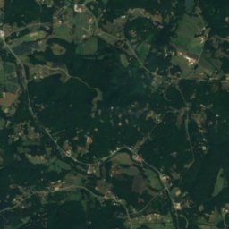
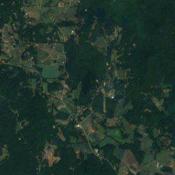
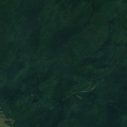
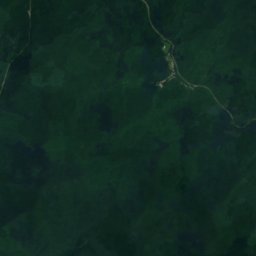
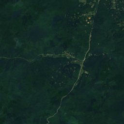
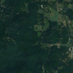
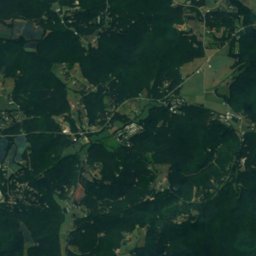
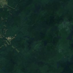
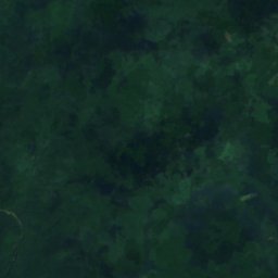
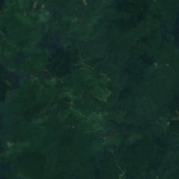
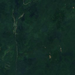
Satellit: Sentinel-2 cloudless 2016 by EOX IT Services GmbH · CC BY 4.0 · Contains modified Copernicus Sentinel data 2016
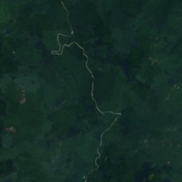
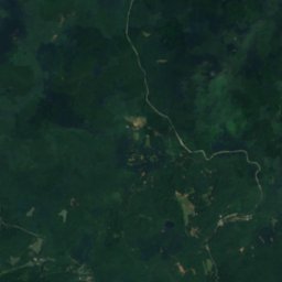
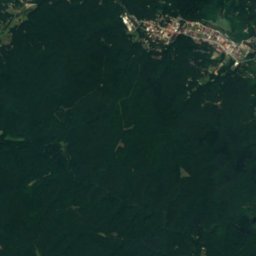
Satellit: Sentinel-2 cloudless 2016 by EOX IT Services GmbH · CC BY 4.0 · Contains modified Copernicus Sentinel data 2016
Satellit: Sentinel-2 cloudless 2016 by EOX IT Services GmbH · CC BY 4.0 · Contains modified Copernicus Sentinel data 2016
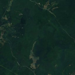
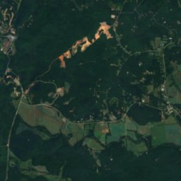
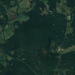
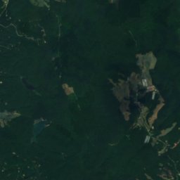
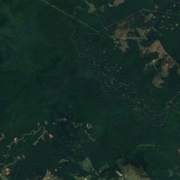
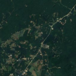
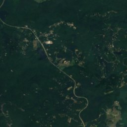
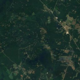
Satellit: Sentinel-2 cloudless 2016 by EOX IT Services GmbH · CC BY 4.0 · Contains modified Copernicus Sentinel data 2016
Gipfel in der NäheBerge in den USA


Übernachten
Orte ganz in der Nähe


In der Umgebung
Robertstown und Umgebung
Natur
Satellit: Sentinel-2 cloudless 2016 by EOX IT Services GmbH · CC BY 4.0 · Contains modified Copernicus Sentinel data 2016
Horsetrough Falls
Wasserfall
Satellit: Sentinel-2 cloudless 2016 by EOX IT Services GmbH · CC BY 4.0 · Contains modified Copernicus Sentinel data 2016
Dukes Creek
Wasserfall
Berge


Denkmäler

Foto: Jerrye & Roy Klotz, MD · CC BY-SA 3.0 · Wikimedia CommonsFoto melden · verlinkt, nicht gespeichert
Sautee Valley Historic District
Eintrag im National Register of Historic Places

Foto: Jerrye & Roy Klotz, MD · CC BY-SA 3.0 · Wikimedia CommonsFoto melden · verlinkt, nicht gespeichert
Old White County Courthouse
Eintrag im National Register of Historic Places

Satellit: Sentinel-2 cloudless 2016 by EOX IT Services GmbH · CC BY 4.0 · Contains modified Copernicus Sentinel data 2016
Nacoochee Mound
Contributing Property
Museen
Satellit: Sentinel-2 cloudless 2016 by EOX IT Services GmbH · CC BY 4.0 · Contains modified Copernicus Sentinel data 2016
Helen Arts & Heritage Center



Satellit: Sentinel-2 cloudless 2016 by EOX IT Services GmbH · CC BY 4.0 · Contains modified Copernicus Sentinel data 2016
White County History Museum
Historisches Museum