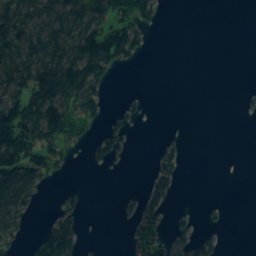
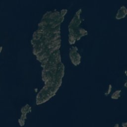
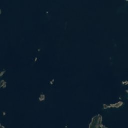
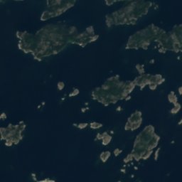


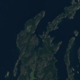
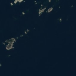
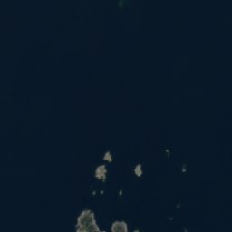



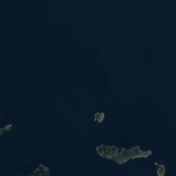
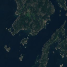
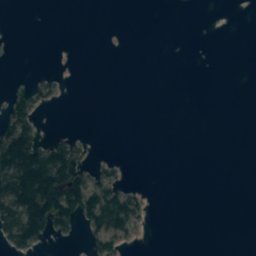

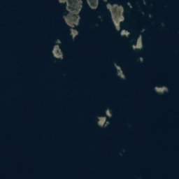



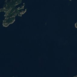
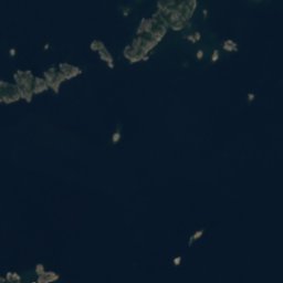
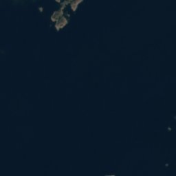




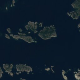





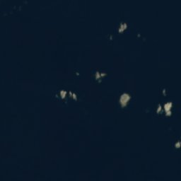
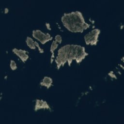





Satellit: Sentinel-2 cloudless 2016 by EOX IT Services GmbH · CC BY 4.0 · Contains modified Copernicus Sentinel data 2016
 Telegrafenberg
InselDalarö, Stockholms län
Västerbådarna
InselAm besten Juni–Aug.
Höhe–über dem Meer
Fläche–Gesamtfläche
Nächster OrtDalarö20 km
59,02° N, 18,67° OUTC+2 · Mitteleuropäische Sommerzeit
ReisezeitDalarö · Wetterwertung
Beste ZeitJuni–Aug.
Oktober: Max. / Min.10° / 6°
Insel
Västerbådarna in Kürze
Västerbådarna ist eine Insel in Dalarö, Stockholms län, Schweden.
Der nächste Ort im Atlas ist Dalarö, 20 km nordwestlich; dort ist das Wetter im Juni, Juli und August am besten.
Wetter in der Nähe
Vorhersage für Dalarö11°
Regen – jetzt
Heute
23. Okt.
13°
7°
8 mm
Sa
24. Okt.
12°
8°
So
25. Okt.
12°
8°
6 mm
Mo
26. Okt.
12°
9°
Di
27. Okt.
12°
7°
Modelllauf 12:00 UTCMehrmals täglich aktualisiert
Reisezeit
Klima in DalaröDie besten Monate rund um Västerbådarna
Monats-Score in Dalarö
Komfort, trockene Tage und Sonne · von 10021
Jan.
25
Feb.
30
März
37
Apr.
49
Mai
71
Juni
74
Juli
69
Aug.
62
Sep.
25
Okt.
18
Nov.
15
Dez.
Karte
Västerbådarna von oben
Natur in der NäheAlles in Schweden
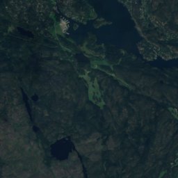
Satellit: Sentinel-2 cloudless 2016 by EOX IT Services GmbH · CC BY 4.0 · Contains modified Copernicus Sentinel data 2016
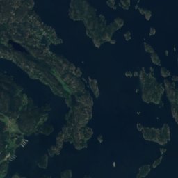
Satellit: Sentinel-2 cloudless 2016 by EOX IT Services GmbH · CC BY 4.0 · Contains modified Copernicus Sentinel data 2016
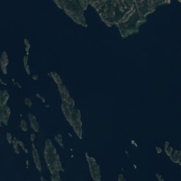
Satellit: Sentinel-2 cloudless 2016 by EOX IT Services GmbH · CC BY 4.0 · Contains modified Copernicus Sentinel data 2016
Satellit: Sentinel-2 cloudless 2016 by EOX IT Services GmbH · CC BY 4.0 · Contains modified Copernicus Sentinel data 2016
Satellit: Sentinel-2 cloudless 2016 by EOX IT Services GmbH · CC BY 4.0 · Contains modified Copernicus Sentinel data 2016
Gipfel in der NäheBerge in Schweden

Übernachten
Orte ganz in der Nähe


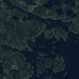
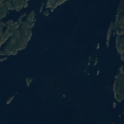
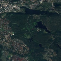
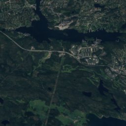
In der Umgebung
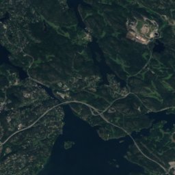
Dalarö und Umgebung
Natur

Foto: Albertyanks - Albert Jankowski · Public domain · Wikimedia CommonsFoto melden · verlinkt, nicht gespeichert
Nationalpark Tyresta
Nationalpark


Berge
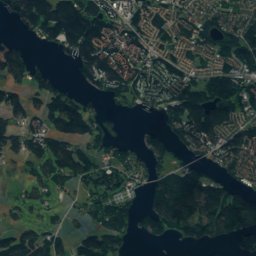
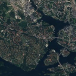
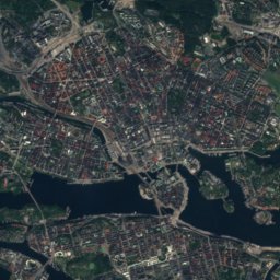
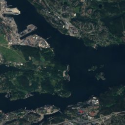
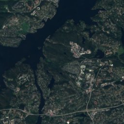
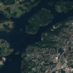
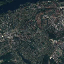
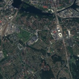
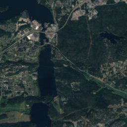
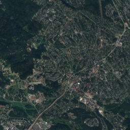
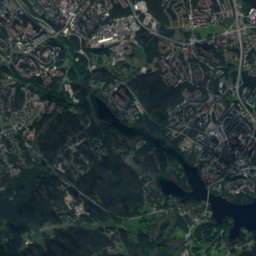
Satellit: Sentinel-2 cloudless 2016 by EOX IT Services GmbH · CC BY 4.0 · Contains modified Copernicus Sentinel data 2016
Högdalstoppen nr 2
102 m
Denkmäler


Museen



Satellit: Sentinel-2 cloudless 2016 by EOX IT Services GmbH · CC BY 4.0 · Contains modified Copernicus Sentinel data 2016
Dalarö museum
Satellit: Sentinel-2 cloudless 2016 by EOX IT Services GmbH · CC BY 4.0 · Contains modified Copernicus Sentinel data 2016


