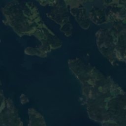
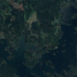
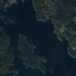
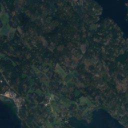
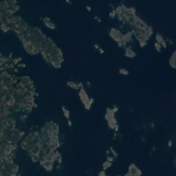




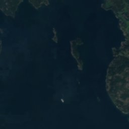
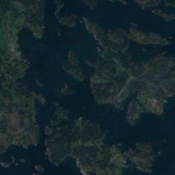
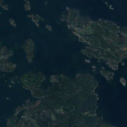
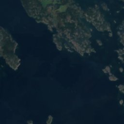
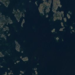




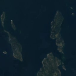
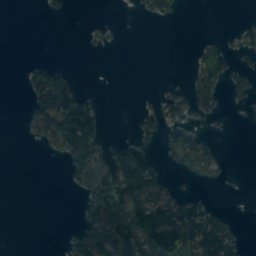
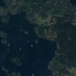
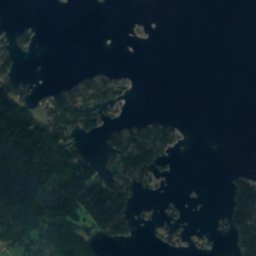
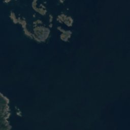




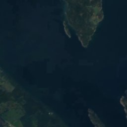
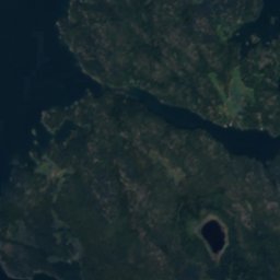
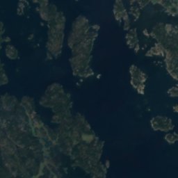
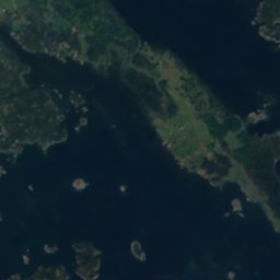




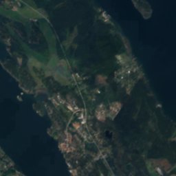
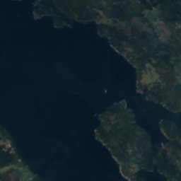
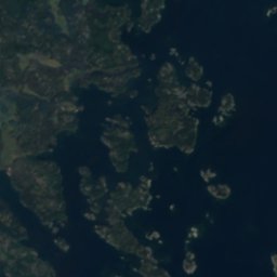
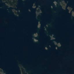
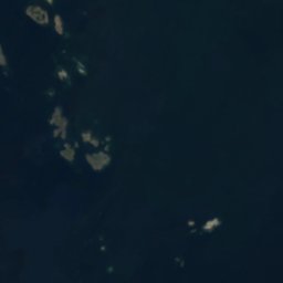




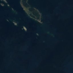





Satellit: Sentinel-2 cloudless 2016 by EOX IT Services GmbH · CC BY 4.0 · Contains modified Copernicus Sentinel data 2016
InselPiperskärr, Kalmar län
Buskebådarna
InselAm besten Juni–Juli · Sep.
Höhe–über dem Meer
Fläche–Gesamtfläche
Nächster OrtPiperskärr12 km
57,82° N, 16,82° OUTC+2 · Mitteleuropäische Sommerzeit
ReisezeitPiperskärr · Wetterwertung
Beste ZeitJuni–Juli · Sep.
Oktober: Max. / Min.11° / 5°
Insel
Buskebådarna in Kürze
Buskebådarna ist eine Insel in Piperskärr, Kalmar län, Schweden.
Der nächste Ort im Atlas ist Piperskärr, 12 km westlich; dort ist das Wetter im Juni, Juli und September am besten.
Wetter in der Nähe
Vorhersage für Piperskärr10°
Bewölkt – jetzt
Heute
22. Okt.
13°
9°
2 mm
Fr
23. Okt.
12°
7°
1 mm
Sa
24. Okt.
13°
8°
3 mm
So
25. Okt.
12°
8°
8 mm
Mo
26. Okt.
12°
7°
2 mm
Modelllauf 00:00 UTCMehrmals täglich aktualisiert
Reisezeit
Klima in PiperskärrDie besten Monate rund um Buskebådarna
Monats-Score in Piperskärr
Komfort, trockene Tage und Sonne · von 10022
Jan.
23
Feb.
29
März
36
Apr.
58
Mai
72
Juni
70
Juli
68
Aug.
69
Sep.
29
Okt.
15
Nov.
16
Dez.
Karte
Buskebådarna von oben
Natur in der NäheAlles in Schweden
Satellit: Sentinel-2 cloudless 2016 by EOX IT Services GmbH · CC BY 4.0 · Contains modified Copernicus Sentinel data 2016
Satellit: Sentinel-2 cloudless 2016 by EOX IT Services GmbH · CC BY 4.0 · Contains modified Copernicus Sentinel data 2016
Satellit: Sentinel-2 cloudless 2016 by EOX IT Services GmbH · CC BY 4.0 · Contains modified Copernicus Sentinel data 2016
Satellit: Sentinel-2 cloudless 2016 by EOX IT Services GmbH · CC BY 4.0 · Contains modified Copernicus Sentinel data 2016
Satellit: Sentinel-2 cloudless 2016 by EOX IT Services GmbH · CC BY 4.0 · Contains modified Copernicus Sentinel data 2016
Übernachten
Orte ganz in der Nähe


In der Umgebung
Piperskärr und Umgebung
Natur

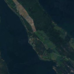
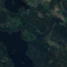
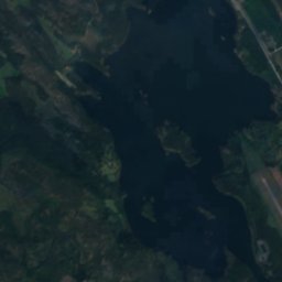
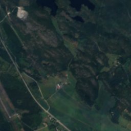
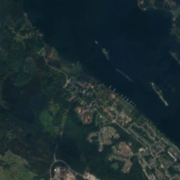
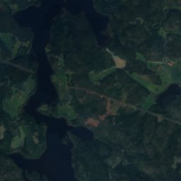
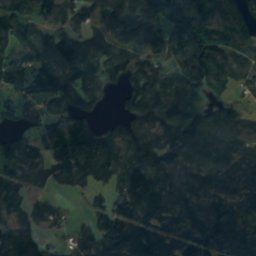
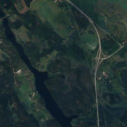
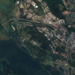
Satellit: Sentinel-2 cloudless 2016 by EOX IT Services GmbH · CC BY 4.0 · Contains modified Copernicus Sentinel data 2016
Maren, Piperskärr
See · 2 m
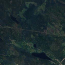
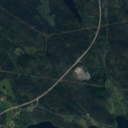
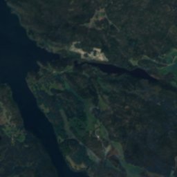
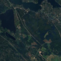
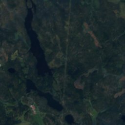
Satellit: Sentinel-2 cloudless 2016 by EOX IT Services GmbH · CC BY 4.0 · Contains modified Copernicus Sentinel data 2016
Maren (Västrums socken, Småland)
See · 0 m
Denkmäler


Satellit: Sentinel-2 cloudless 2016 by EOX IT Services GmbH · CC BY 4.0 · Contains modified Copernicus Sentinel data 2016
Sankta Gertruds kyrka, Västervik
1469
Satellit: Sentinel-2 cloudless 2016 by EOX IT Services GmbH · CC BY 4.0 · Contains modified Copernicus Sentinel data 2016
Västerviks rådhus
individuell gelisteter Gebäudekomplex · 1795
Museen

Foto: Psykiatriska Museet, Västervik · CC BY-SA 3.0 · Wikimedia CommonsFoto melden · verlinkt, nicht gespeichert
Sankta Gertruds sjukhus
Medizinmuseum





Satellit: Sentinel-2 cloudless 2016 by EOX IT Services GmbH · CC BY 4.0 · Contains modified Copernicus Sentinel data 2016
Psykiatriska museet, Västervik


Satellit: Sentinel-2 cloudless 2016 by EOX IT Services GmbH · CC BY 4.0 · Contains modified Copernicus Sentinel data 2016