Natur
Wasser, Eis und Wildnis in Niger
Seen, Wasserfälle, Gletscher, Nationalparks und Berghütten – jeweils mit Lage, Größe und dem Wetter der Orte ringsum.
Seen24mit eigener Seite
Wasserfälle1mit eigener Seite
Inseln22mit eigener Seite
Höhlen1mit eigener Seite

Foto: Barke11 at Wikimedia Commons · CC BY-SA 4.0 · Wikimedia CommonsFoto melden · verlinkt, nicht gespeichert
Seen
Seen Nigers

Foto: Barke11 at Wikimedia Commons · CC BY-SA 4.0 · Wikimedia CommonsFoto melden · verlinkt, nicht gespeichert
Mare d’Ossolo
Téra, Tillabéri Region
257 m

Foto: MAHAMADOU ALPHA ISSIFOU Omar · CC BY-SA 4.0 · Wikimedia CommonsFoto melden · verlinkt, nicht gespeichert
Mare de Falki
Mirriah, Zinder Region
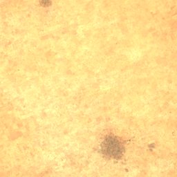
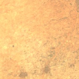
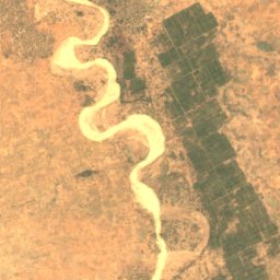
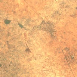
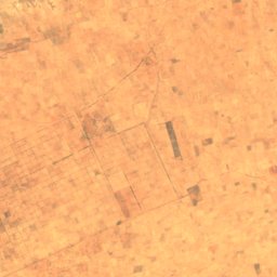
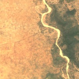
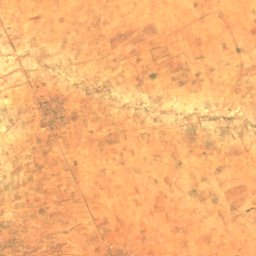
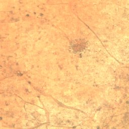
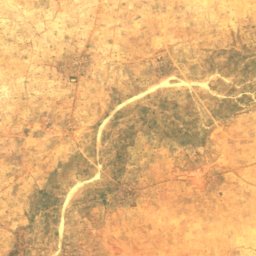
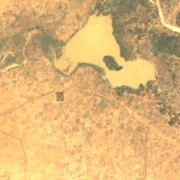
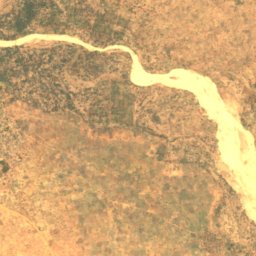
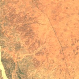
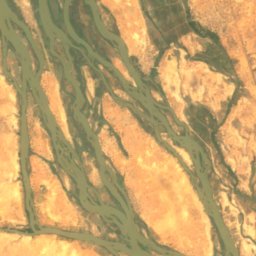
Satellit: Sentinel-2 cloudless 2016 by EOX IT Services GmbH · CC BY 4.0 · Contains modified Copernicus Sentinel data 2016
Madarounfa-See
Madarounfa, Maradi Region
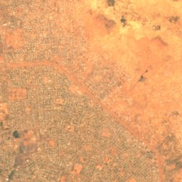
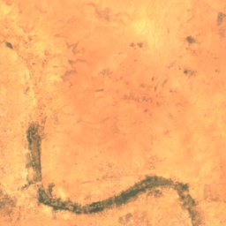
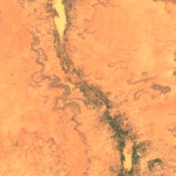
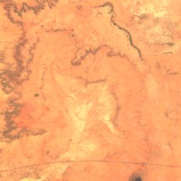
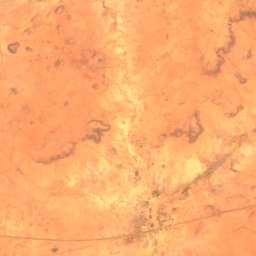
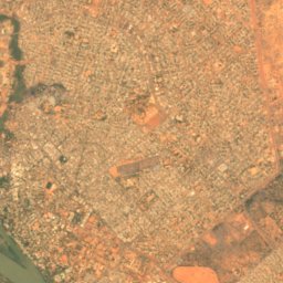
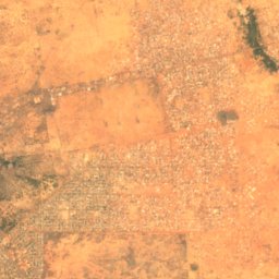
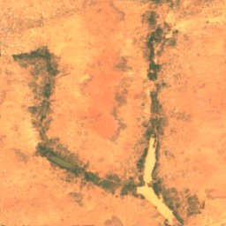
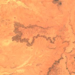
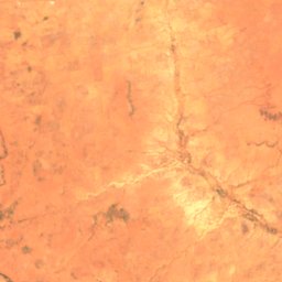
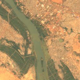
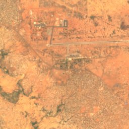
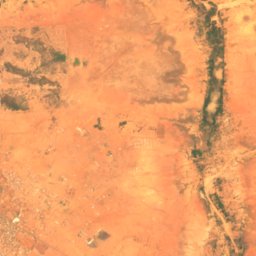
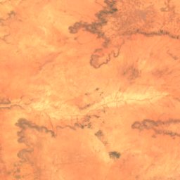
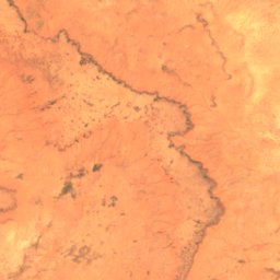
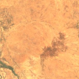
Satellit: Sentinel-2 cloudless 2016 by EOX IT Services GmbH · CC BY 4.0 · Contains modified Copernicus Sentinel data 2016
Bangou Kirey
Barkiawal Béri, Tillabéri Region
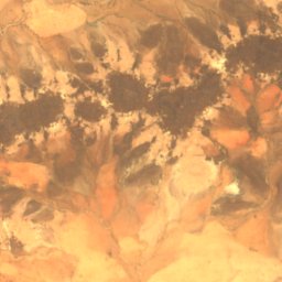
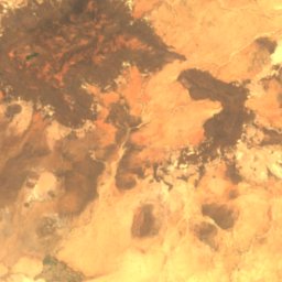
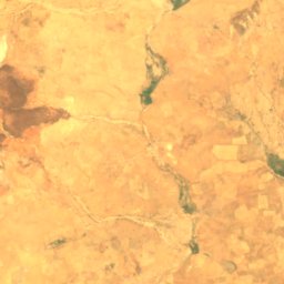
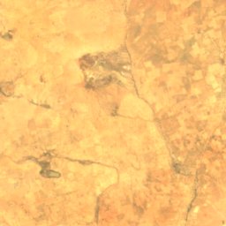
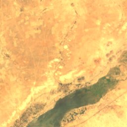
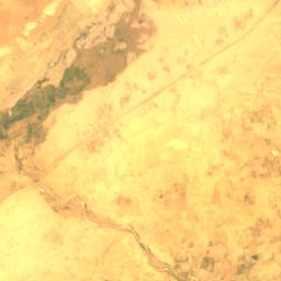
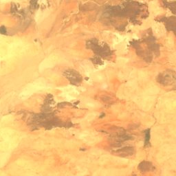
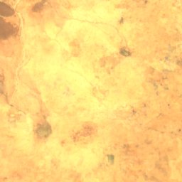
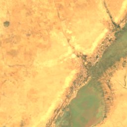
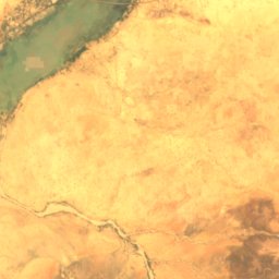
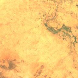
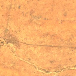
Satellit: Sentinel-2 cloudless 2016 by EOX IT Services GmbH · CC BY 4.0 · Contains modified Copernicus Sentinel data 2016
Mare de Tabalak
Tabalakh, Tahoua Region
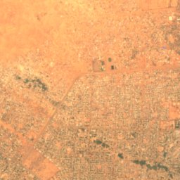
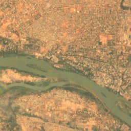
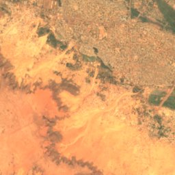
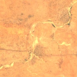
Satellit: Sentinel-2 cloudless 2016 by EOX IT Services GmbH · CC BY 4.0 · Contains modified Copernicus Sentinel data 2016
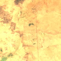
Bangou Bi
Banigoungou, Tillabéri Region
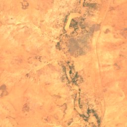
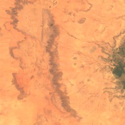
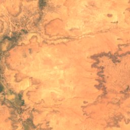
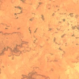
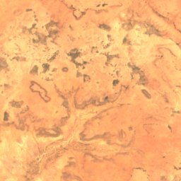
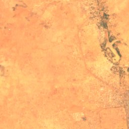
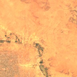
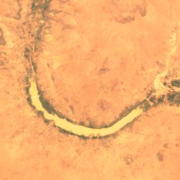
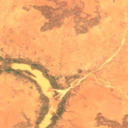
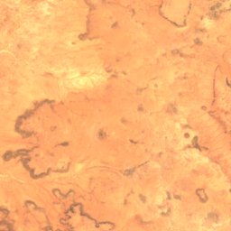
Satellit: Sentinel-2 cloudless 2016 by EOX IT Services GmbH · CC BY 4.0 · Contains modified Copernicus Sentinel data 2016
Kongou-See
Barkiawal Béri, Tillabéri Region
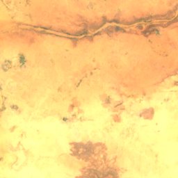
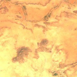
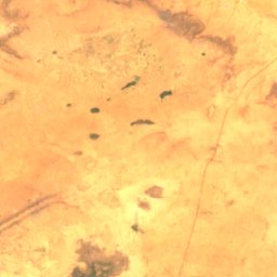
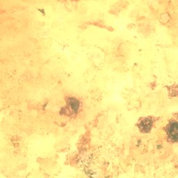
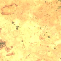
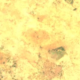
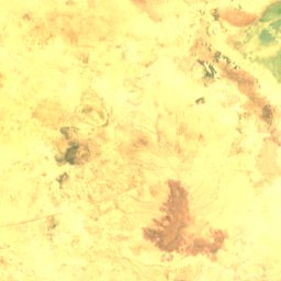
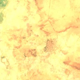
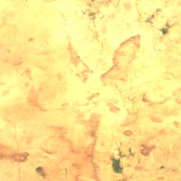
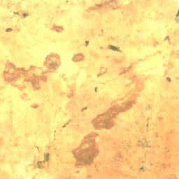
Satellit: Sentinel-2 cloudless 2016 by EOX IT Services GmbH · CC BY 4.0 · Contains modified Copernicus Sentinel data 2016
Malé Fala
Illéla, Tahoua Region
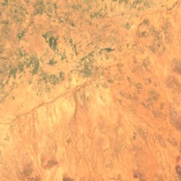
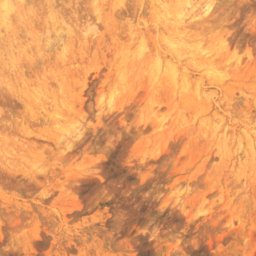
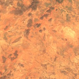
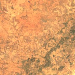
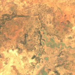
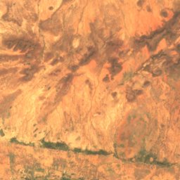
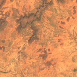
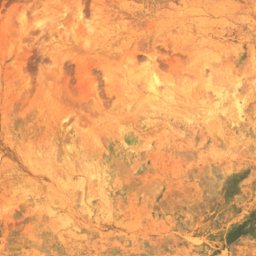
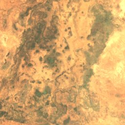
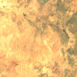
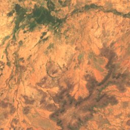
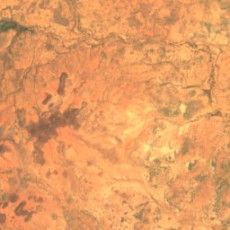
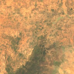
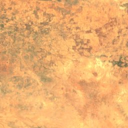
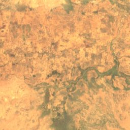
Satellit: Sentinel-2 cloudless 2016 by EOX IT Services GmbH · CC BY 4.0 · Contains modified Copernicus Sentinel data 2016
Mare de Doulgou
Boura, Tillabéri Region
Alle 24 Seen
- Bangou Bi
- Bangou Kirey
- Kongou-See
- Madarounfa-See
- Malé Fala
- Mare d’Ingui
- Mare d’Ossolo
- Mare de Dossey
- Mare de Doulgou
- Mare de Falki
- Mare de Folakam
- Mare de Kokorou
- Mare de Kourfin Koura
- Mare de Lassouri
- Mare de Mari
- Mare de Namga
- Mare de Rafin Wada
- Mare de Rouafi
- Mare de Tabalak
- Mare de Tafouka
- Mare de Tinga
- Mare de Yalalé
- Mare de Zoribi
- Zébanafiti Bangou
Wasserfälle
Wasserfälle Nigers

Inseln
Inseln Nigers
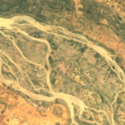
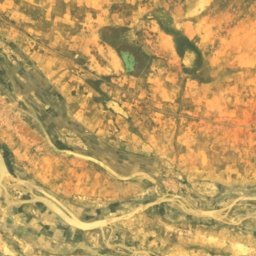
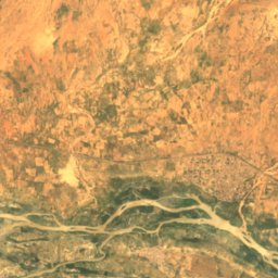
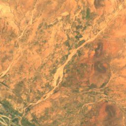
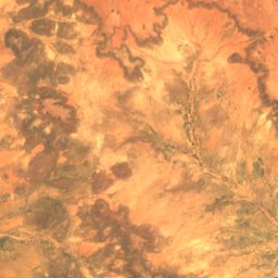
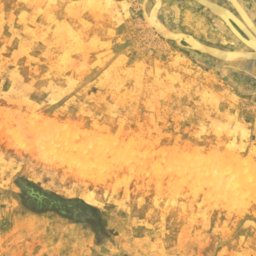
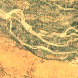
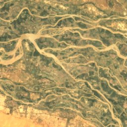
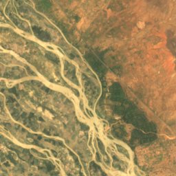
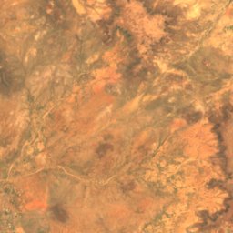
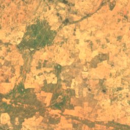
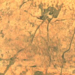
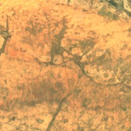
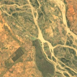
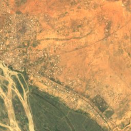
Satellit: Sentinel-2 cloudless 2016 by EOX IT Services GmbH · CC BY 4.0 · Contains modified Copernicus Sentinel data 2016
Abada (pulo)
Tillabéri, Tillabéri Region
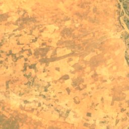
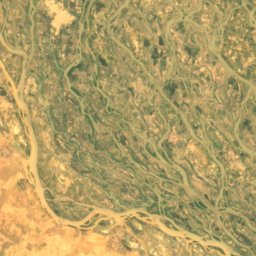
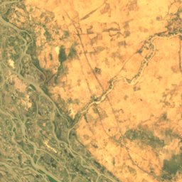
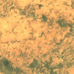
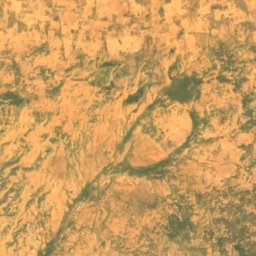
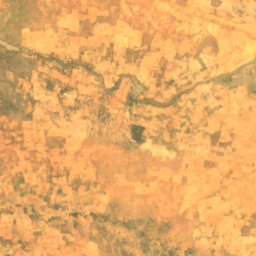
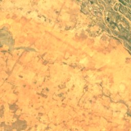
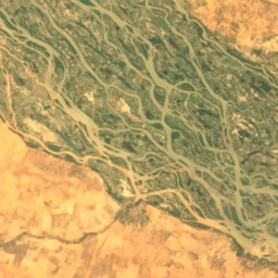
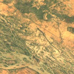
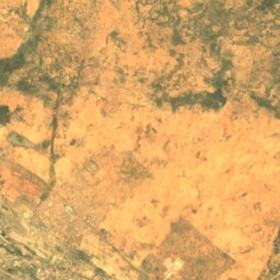
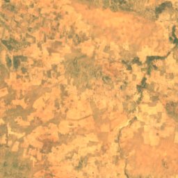
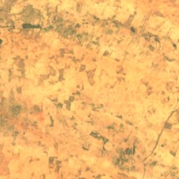
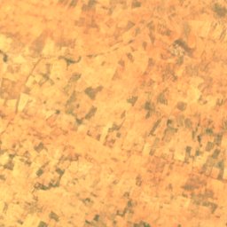
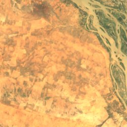
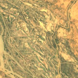
Satellit: Sentinel-2 cloudless 2016 by EOX IT Services GmbH · CC BY 4.0 · Contains modified Copernicus Sentinel data 2016
Aboudia
Ayorou, Tillabéri Region
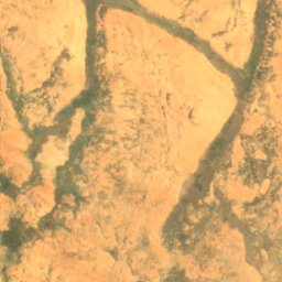
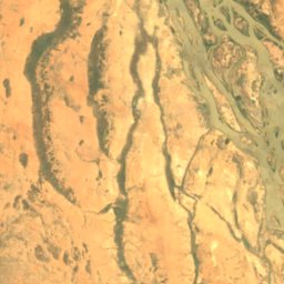
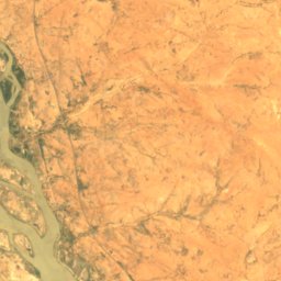
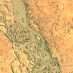
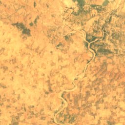
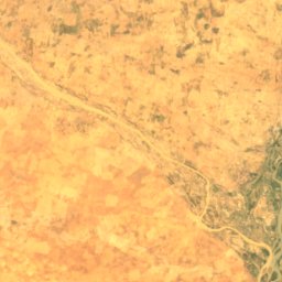
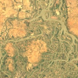
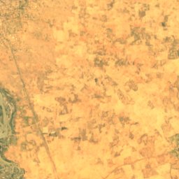
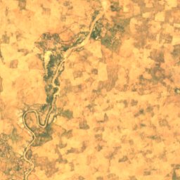
Satellit: Sentinel-2 cloudless 2016 by EOX IT Services GmbH · CC BY 4.0 · Contains modified Copernicus Sentinel data 2016
Ayérou Goungou Koré
Ayorou, Tillabéri Region
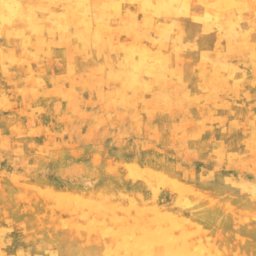
Satellit: Sentinel-2 cloudless 2016 by EOX IT Services GmbH · CC BY 4.0 · Contains modified Copernicus Sentinel data 2016
Baliam
Ayorou, Tillabéri Region
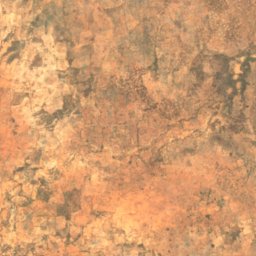
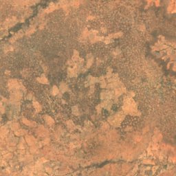
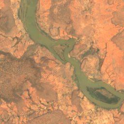
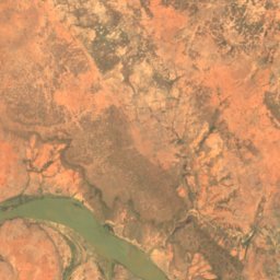
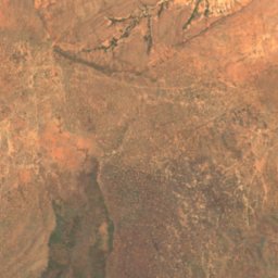
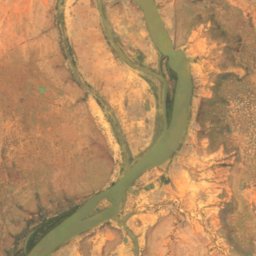
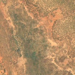
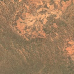
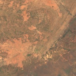
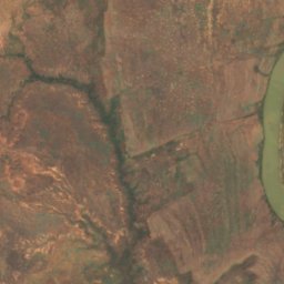
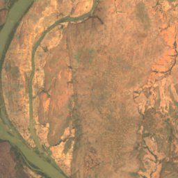
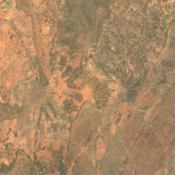
Satellit: Sentinel-2 cloudless 2016 by EOX IT Services GmbH · CC BY 4.0 · Contains modified Copernicus Sentinel data 2016
Bira Goungou (pulo)
Kirtachi Seybou, Tillabéri Region
Satellit: Sentinel-2 cloudless 2016 by EOX IT Services GmbH · CC BY 4.0 · Contains modified Copernicus Sentinel data 2016
Bolboli
Ayorou, Tillabéri Region
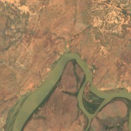
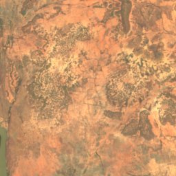
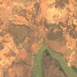
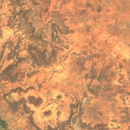
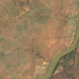
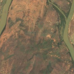
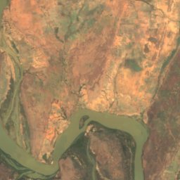
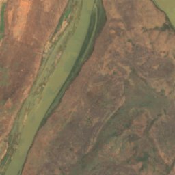
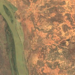
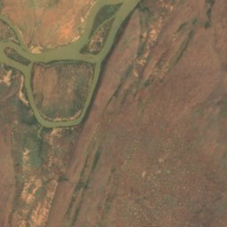
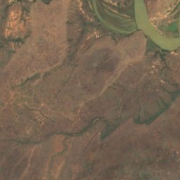
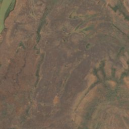
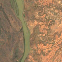
Satellit: Sentinel-2 cloudless 2016 by EOX IT Services GmbH · CC BY 4.0 · Contains modified Copernicus Sentinel data 2016
Bélo Goungou
Falmey, Dosso Region
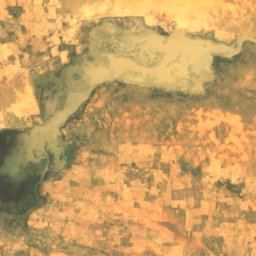
Höhlen
Höhlen Nigers

Foto: Constantin BLAM DIMOUGNA KADEBE · CC BY-SA 4.0 · Wikimedia CommonsFoto melden · verlinkt, nicht gespeichert
Grotte des Hyènes
Karey Gorou, Tillabéri Region
Flüsse
Flüsse Nigers


Foto: Farid AMADOU BAHLEMAN · CC BY-SA 4.0 · Wikimedia CommonsFoto melden · verlinkt, nicht gespeichert
Alibori
Tanda, Dosso Region


Foto: JIRCAS Library from Tsukuba, Japan · CC BY 2.0 · Wikimedia CommonsFoto melden · verlinkt, nicht gespeichert
Goroubi
Kirtachi Seybou, Tillabéri Region

Foto: MAHAMADOU ALPHA ISSIFOU Omar · CC BY-SA 4.0 · Wikimedia CommonsFoto melden · verlinkt, nicht gespeichert
Korama
Matamèye, Zinder Region