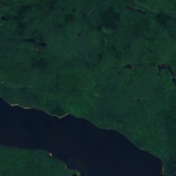
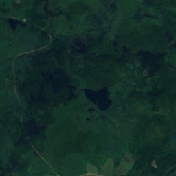
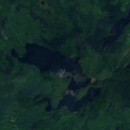
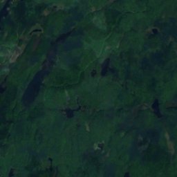
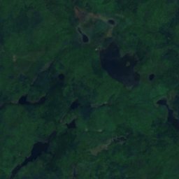
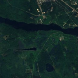
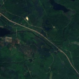
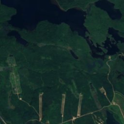
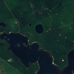
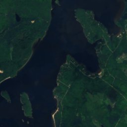
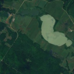
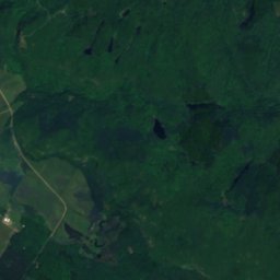
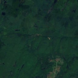
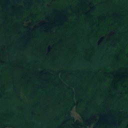
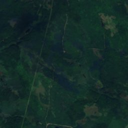
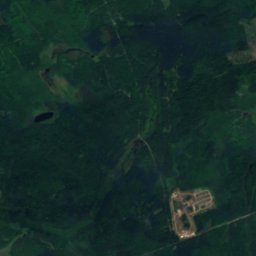
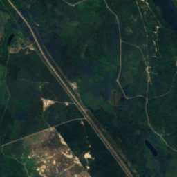
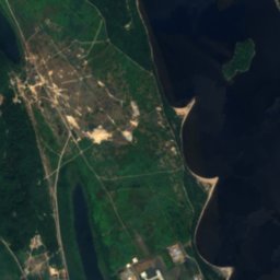
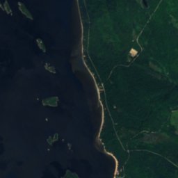
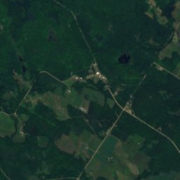
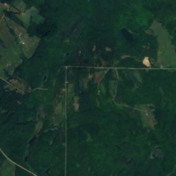
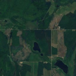
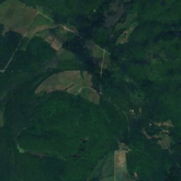
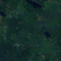
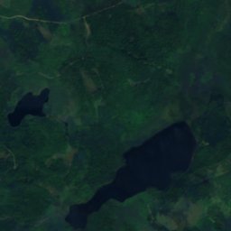
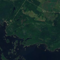
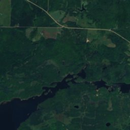
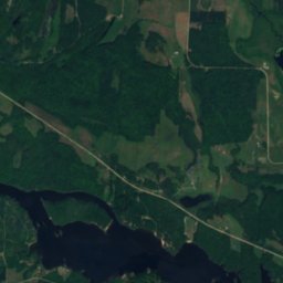
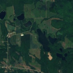
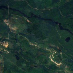
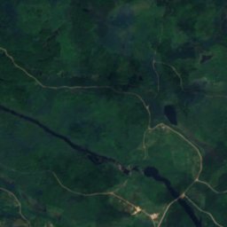
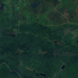
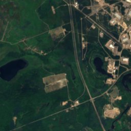
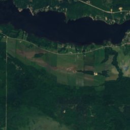
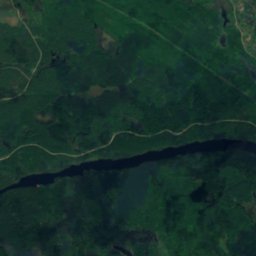
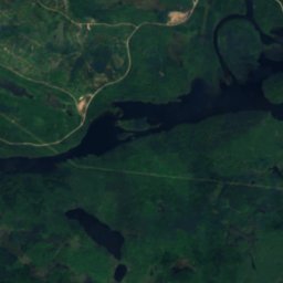
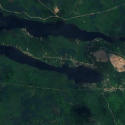
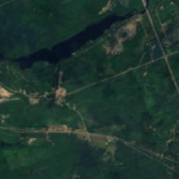
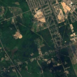
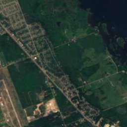
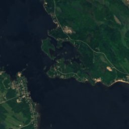
Satellit: Sentinel-2 cloudless 2016 by EOX IT Services GmbH · CC BY 4.0 · Contains modified Copernicus Sentinel data 2016
InselPetawawa, Ontario
Ruby Islet
InselAm besten Mai–Juni · Sep.
Höhe–über dem Meer
Fläche–Gesamtfläche
Nächster OrtPetawawa4,9 km
45,93° N, 77,25° WUTC−4 · Nordamerikanische Ostküsten-Sommerzeit
ReisezeitPetawawa · Wetterwertung
Beste ZeitMai–Juni · Sep.
Oktober: Max. / Min.12° / 5°
Insel
Ruby Islet in Kürze
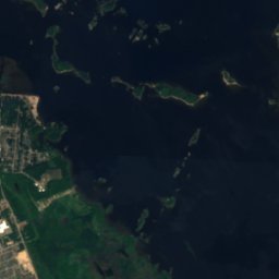
Ruby Islet ist eine Insel in Petawawa, Ontario, Kanada.
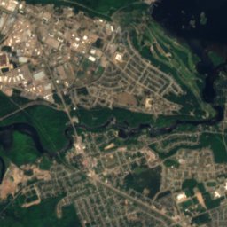
Der nächste Ort ist Petawawa, 4,9 km südwestlich; dort ist das Wetter im Mai, Juni und September am besten.
Wetter in der Nähe
Vorhersage für Petawawa10°
Regen – jetzt
Heute
25. Okt.
16°
1°
Mo
26. Okt.
10°
3°
1 mm
Di
27. Okt.
7°
2°
Mi
28. Okt.
10°
1°
Do
29. Okt.
17°
5°
7 mm
Modelllauf 12:00 UTCMehrmals täglich aktualisiert
Karte
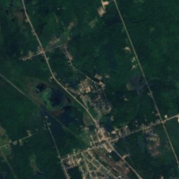
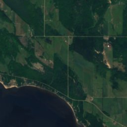
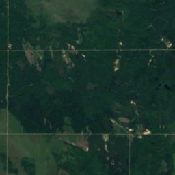
Ruby Islet von oben
Natur in der NäheAlles in Kanada
Satellit: Sentinel-2 cloudless 2016 by EOX IT Services GmbH · CC BY 4.0 · Contains modified Copernicus Sentinel data 2016
Satellit: Sentinel-2 cloudless 2016 by EOX IT Services GmbH · CC BY 4.0 · Contains modified Copernicus Sentinel data 2016
Satellit: Sentinel-2 cloudless 2016 by EOX IT Services GmbH · CC BY 4.0 · Contains modified Copernicus Sentinel data 2016
Satellit: Sentinel-2 cloudless 2016 by EOX IT Services GmbH · CC BY 4.0 · Contains modified Copernicus Sentinel data 2016
Satellit: Sentinel-2 cloudless 2016 by EOX IT Services GmbH · CC BY 4.0 · Contains modified Copernicus Sentinel data 2016
Satellit: Sentinel-2 cloudless 2016 by EOX IT Services GmbH · CC BY 4.0 · Contains modified Copernicus Sentinel data 2016
Gipfel in der NäheBerge in Kanada
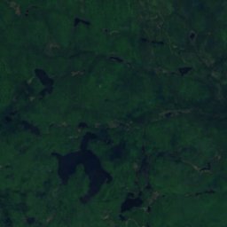
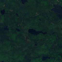
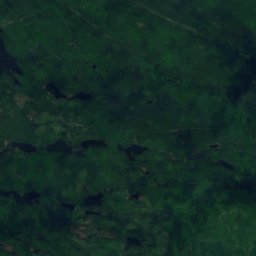
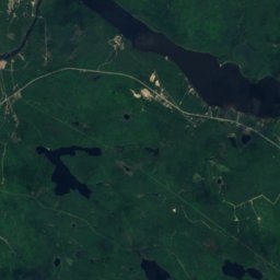
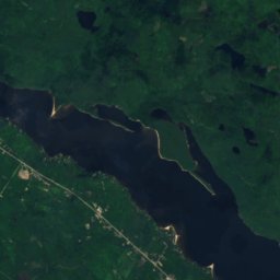
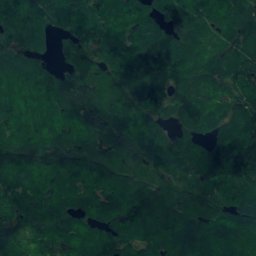
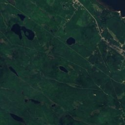
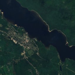
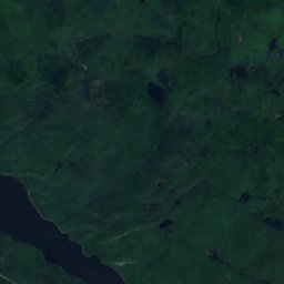
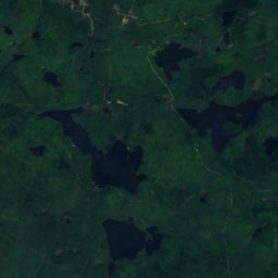
Satellit: Sentinel-2 cloudless 2016 by EOX IT Services GmbH · CC BY 4.0 · Contains modified Copernicus Sentinel data 2016
Übernachten
Orte ganz in der Nähe


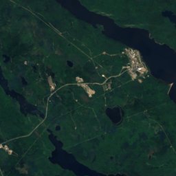
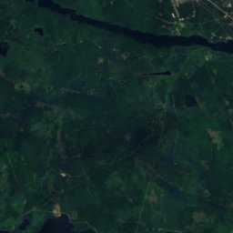
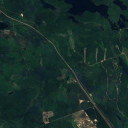
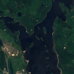
Satellit: Sentinel-2 cloudless 2016 by EOX IT Services GmbH · CC BY 4.0 · Contains modified Copernicus Sentinel data 2016
Chalk River
Ontario · 18 km NW
12°max. Okt.
12Regentage
32Score
In der Umgebung
Petawawa und Umgebung
Natur


Foto: Judge Nutmeg at English Wikipedia · Public domain · Wikimedia CommonsFoto melden · verlinkt, nicht gespeichert
Barron River
Fluss · 149 m
Satellit: Sentinel-2 cloudless 2016 by EOX IT Services GmbH · CC BY 4.0 · Contains modified Copernicus Sentinel data 2016
Lac du Bois Dur, Ontario
See · 142 m
Berge
Satellit: Sentinel-2 cloudless 2016 by EOX IT Services GmbH · CC BY 4.0 · Contains modified Copernicus Sentinel data 2016
Mont Martin
425 m · Laurentinische Berge
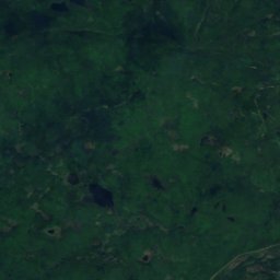
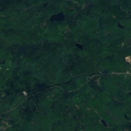
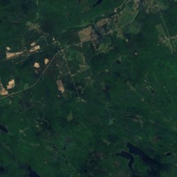
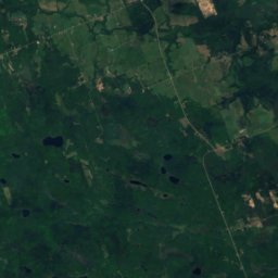
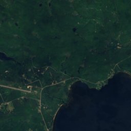
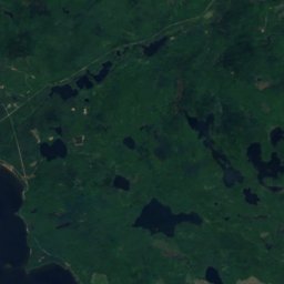
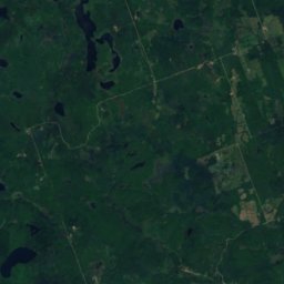
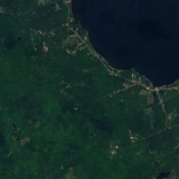
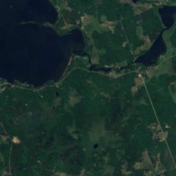
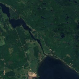
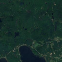
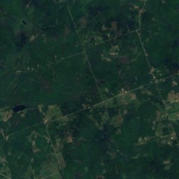


Satellit: Sentinel-2 cloudless 2016 by EOX IT Services GmbH · CC BY 4.0 · Contains modified Copernicus Sentinel data 2016
Pinnacle Mountain, Ontario
289 m
Satellit: Sentinel-2 cloudless 2016 by EOX IT Services GmbH · CC BY 4.0 · Contains modified Copernicus Sentinel data 2016
Goose Egg Mountain
273 m