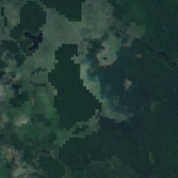
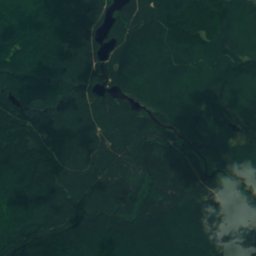
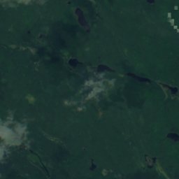
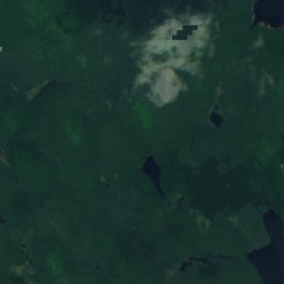
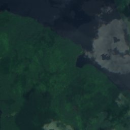
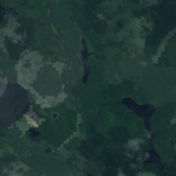
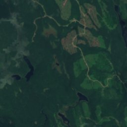
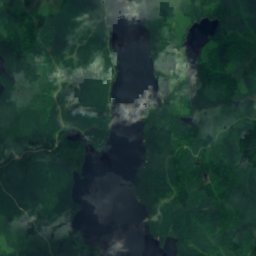
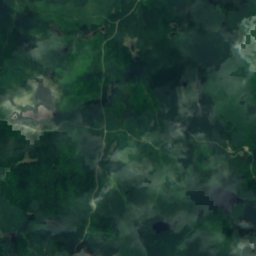
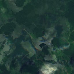
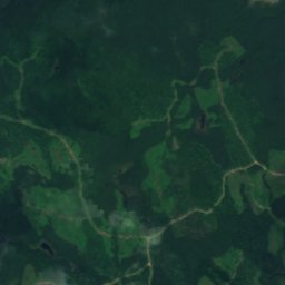
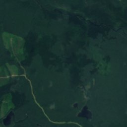
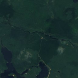
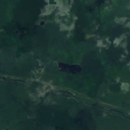
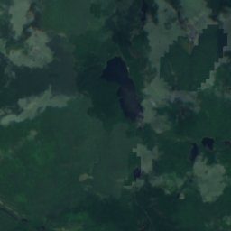
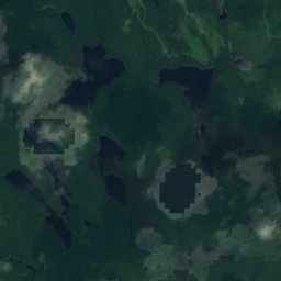
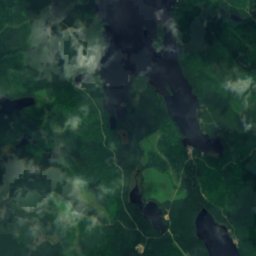
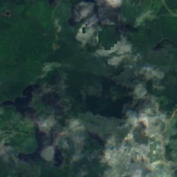
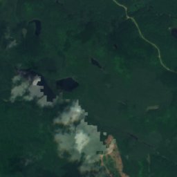
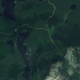
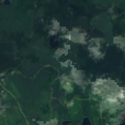
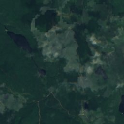
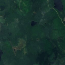
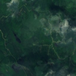
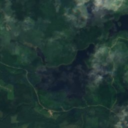
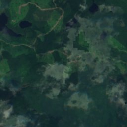
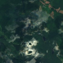
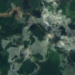
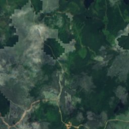
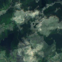
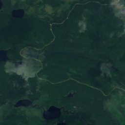
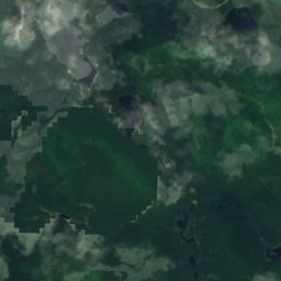
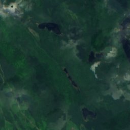
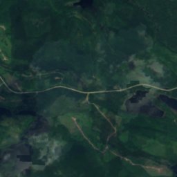
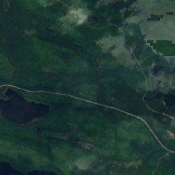
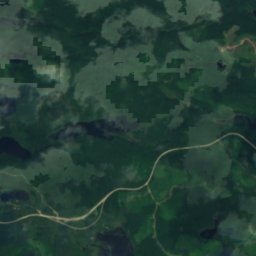
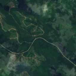
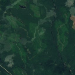
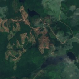
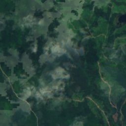
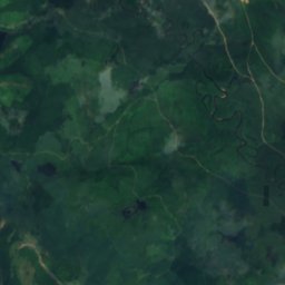
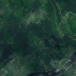
Satellit: Sentinel-2 cloudless 2016 by EOX IT Services GmbH · CC BY 4.0 · Contains modified Copernicus Sentinel data 2016
SeeLa Tuque, Quebec
Lac Maluron
See314 m HöheAm besten Juli–Sep.
Höhe314 müber dem Meer
Fläche–Gesamtfläche
Nächster OrtLa Tuque25 km
47,29° N, 73,03° WHöhe 314 mUTC−4 · Nordamerikanische Ostküsten-Sommerzeit
ReisezeitLa Tuque · Wetterwertung
Beste ZeitJuli–Sep.
Oktober: Max. / Min.10° / 3°
See
Lac Maluron in Kürze
Lac Maluron ist ein See in La Tuque, Quebec, Kanada.
Er liegt 314 m über dem Meer.
Der nächste Ort ist La Tuque, 25 km nordöstlich; dort ist das Wetter im Juli, August und September am besten.
Wetter in der Nähe
Vorhersage für La Tuque-1°
Teils bewölkt – jetzt
Heute
27. Okt.
5°
-1°
Mi
28. Okt.
7°
-2°
Do
29. Okt.
14°
2°
5 mm
Fr
30. Okt.
9°
3°
3 mm
Sa
31. Okt.
5°
0°
Modelllauf 00:00 UTCMehrmals täglich aktualisiert
Karte
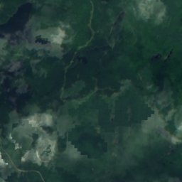
Lac Maluron von oben
Natur in der NäheAlles in Kanada
Satellit: Sentinel-2 cloudless 2016 by EOX IT Services GmbH · CC BY 4.0 · Contains modified Copernicus Sentinel data 2016
Satellit: Sentinel-2 cloudless 2016 by EOX IT Services GmbH · CC BY 4.0 · Contains modified Copernicus Sentinel data 2016
Satellit: Sentinel-2 cloudless 2016 by EOX IT Services GmbH · CC BY 4.0 · Contains modified Copernicus Sentinel data 2016
Satellit: Sentinel-2 cloudless 2016 by EOX IT Services GmbH · CC BY 4.0 · Contains modified Copernicus Sentinel data 2016
Satellit: Sentinel-2 cloudless 2016 by EOX IT Services GmbH · CC BY 4.0 · Contains modified Copernicus Sentinel data 2016
Satellit: Sentinel-2 cloudless 2016 by EOX IT Services GmbH · CC BY 4.0 · Contains modified Copernicus Sentinel data 2016
In der Umgebung
La Tuque und Umgebung

Natur

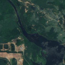
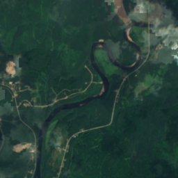
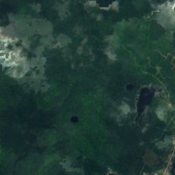
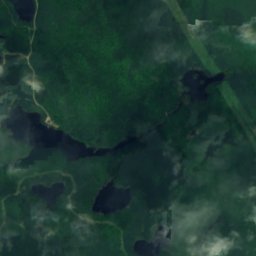
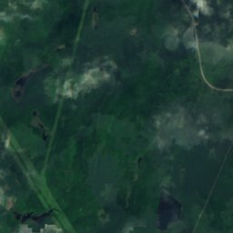
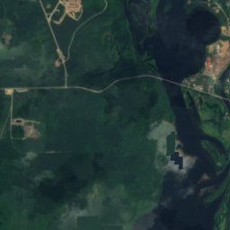
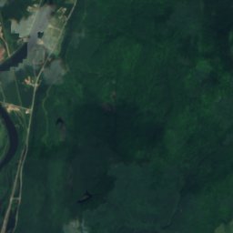
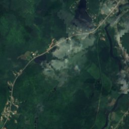
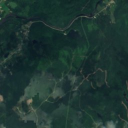
Satellit: Sentinel-2 cloudless 2016 by EOX IT Services GmbH · CC BY 4.0 · Contains modified Copernicus Sentinel data 2016
Rivière Croche, Quebec
Fluss


