

Foto: Unknown author · Public domain · Wikimedia Commons
SlametFoto melden · verlinkt, nicht gespeichert
SlametSlametFoto melden · verlinkt, nicht gespeichert
InselPurwokerto, Central Java
Java
Insel3.676 m HöheAm besten Juni–Aug.
Höhe3.676 müber dem Meer
Fläche128.297 km²Gesamtfläche
Nächster OrtPurwokerto24 km
7,31° S, 109,42° OHöhe 3.676 mUTC+7 · Westindonesische Zeit
ReisezeitPurwokerto · Wetterwertung
Beste ZeitJuni–Aug.
Oktober: Max. / Min.29° / 22°
Insel
Java in Kürze
Java ist eine Insel in Purwokerto, Central Java, Indonesien.
Sie liegt 3.676 m über dem Meer und ist rund 128.297 km² groß.
Der nächste Ort im Atlas ist Purwokerto, 24 km südwestlich; dort ist das Wetter im Juni, Juli und August am besten.
Wetter in der Nähe
Vorhersage für Purwokerto25°
Teils bewölkt – jetzt
Heute
23. Okt.
31°
24°
4 mm
Sa
24. Okt.
31°
23°
4 mm
So
25. Okt.
30°
24°
3 mm
Mo
26. Okt.
30°
24°
10 mm
Di
27. Okt.
30°
23°
17 mm
Modelllauf 12:00 UTCMehrmals täglich aktualisiert
Die Insel von oben
128.297 km² · Küstenlinie laut OpenStreetMapKarte
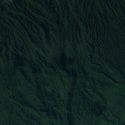
Java von oben
Natur in der NäheAlles in Indonesien
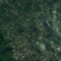
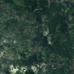
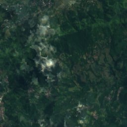
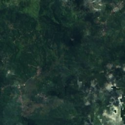
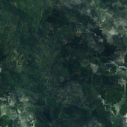
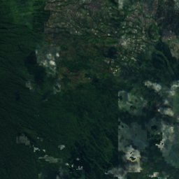
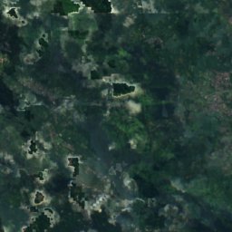
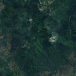
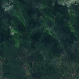
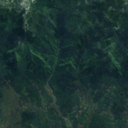
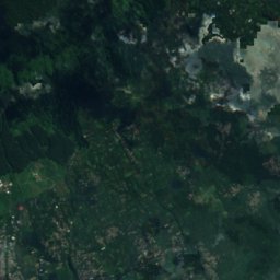
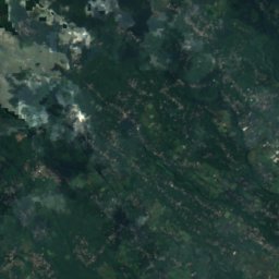
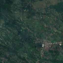
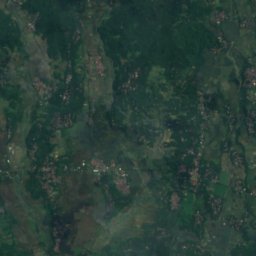
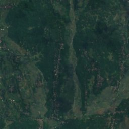
Satellit: Sentinel-2 cloudless 2016 by EOX IT Services GmbH · CC BY 4.0 · Contains modified Copernicus Sentinel data 2016
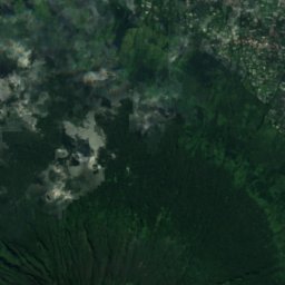
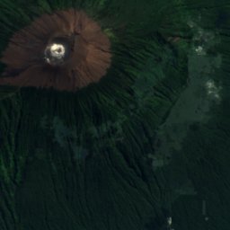
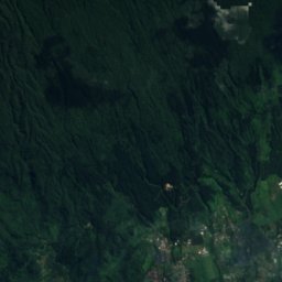
Satellit: Sentinel-2 cloudless 2016 by EOX IT Services GmbH · CC BY 4.0 · Contains modified Copernicus Sentinel data 2016
Satellit: Sentinel-2 cloudless 2016 by EOX IT Services GmbH · CC BY 4.0 · Contains modified Copernicus Sentinel data 2016
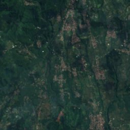
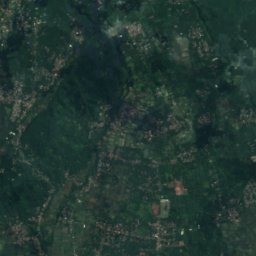
Satellit: Sentinel-2 cloudless 2016 by EOX IT Services GmbH · CC BY 4.0 · Contains modified Copernicus Sentinel data 2016
Satellit: Sentinel-2 cloudless 2016 by EOX IT Services GmbH · CC BY 4.0 · Contains modified Copernicus Sentinel data 2016
Satellit: Sentinel-2 cloudless 2016 by EOX IT Services GmbH · CC BY 4.0 · Contains modified Copernicus Sentinel data 2016
Gipfel in der NäheBerge in Indonesien

Übernachten
Orte ganz in der Nähe
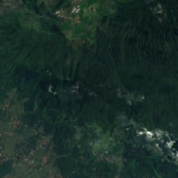
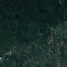
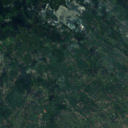
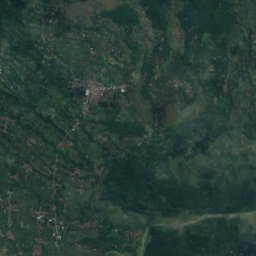
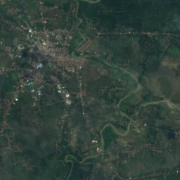
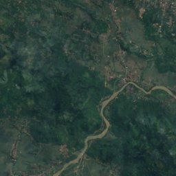
Satellit: Sentinel-2 cloudless 2016 by EOX IT Services GmbH · CC BY 4.0 · Contains modified Copernicus Sentinel data 2016
Purwokerto
Central Java · 24 km SW
29°max. Okt.
20Regentage
42Score
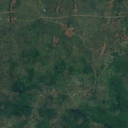
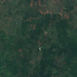
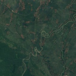
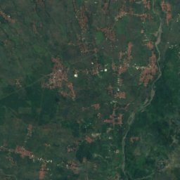
Satellit: Sentinel-2 cloudless 2016 by EOX IT Services GmbH · CC BY 4.0 · Contains modified Copernicus Sentinel data 2016
Randudongkal
Central Java · 26 km NW
29°max. Okt.
20Regentage
41Score
In der Umgebung
Purwokerto und Umgebung
Satellit: Sentinel-2 cloudless 2016 by EOX IT Services GmbH · CC BY 4.0 · Contains modified Copernicus Sentinel data 2016
Purwokerto
Central Java · Indonesien
Juni–Aug.beste Monate
28°max. im Juli
81 mHöhe
Natur

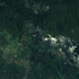
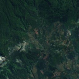
Satellit: Sentinel-2 cloudless 2016 by EOX IT Services GmbH · CC BY 4.0 · Contains modified Copernicus Sentinel data 2016
Curug Ceheng
Wasserfall · 420 m
Satellit: Sentinel-2 cloudless 2016 by EOX IT Services GmbH · CC BY 4.0 · Contains modified Copernicus Sentinel data 2016
Curug Bangkong
Wasserfall · 500 m
Berge
Museen




Satellit: Sentinel-2 cloudless 2016 by EOX IT Services GmbH · CC BY 4.0 · Contains modified Copernicus Sentinel data 2016
Museum Jenderal Soedirman Karanglewa
1984