
Foto: Ken Eckert · CC BY-SA 4.0 · Wikimedia Commons
Gitgit-WasserfallFoto melden · verlinkt, nicht gespeichert
Gitgit-WasserfallFoto melden · verlinkt, nicht gespeichert

Foto: Stefan Fussan · CC BY-SA 3.0 · Wikimedia Commons
Two WaterfallFoto melden · verlinkt, nicht gespeichert
Two WaterfallTwo WaterfallFoto melden · verlinkt, nicht gespeichert

Foto: Stefan Fussan · CC BY-SA 3.0 · Wikimedia Commons
Spray WaterfallFoto melden · verlinkt, nicht gespeichert
Spray WaterfallSpray WaterfallFoto melden · verlinkt, nicht gespeichert

Foto: Stefan Fussan · CC BY-SA 3.0 · Wikimedia Commons
Banyu-Wana-Amertha-WasserfallFoto melden · verlinkt, nicht gespeichert
Banyu-Wana-Amertha-WasserfallBanyu-Wana-Amertha-WasserfallFoto melden · verlinkt, nicht gespeichert

Foto: casey yancey · CC BY 2.0 · Wikimedia Commons
Gunung BratanFoto melden · verlinkt, nicht gespeichert
Gunung BratanGunung BratanFoto melden · verlinkt, nicht gespeichert
WasserfallGitgit, Bali
Gitgit-Wasserfall
WasserfallAm besten Juli–Sep.
Höhe–über dem Meer
Fallhöhe–des Wasserfalls
Nächster OrtGitgit0,4 km
8,19° S, 115,13° OUTC+8 · Zentralindonesische Zeit
ReisezeitGitgit · Wetterwertung
Beste ZeitJuli–Sep.
Oktober: Max. / Min.29° / 22°
Wasserfall
Gitgit-Wasserfall in Kürze
Gitgit-Wasserfall ist ein Wasserfall in Gitgit, Bali, Indonesien.
Der nächste Ort ist Gitgit, 0,4 km nordöstlich; dort ist das Wetter im Juli, August und September am besten.
Wetter in der Nähe
Vorhersage für Gitgit21°
Bewölkt – jetzt
Heute
27. Okt.
27°
22°
2 mm
Mi
28. Okt.
28°
19°
3 mm
Do
29. Okt.
27°
21°
5 mm
Fr
30. Okt.
26°
20°
6 mm
Sa
31. Okt.
28°
20°
3 mm
Modelllauf 00:00 UTCMehrmals täglich aktualisiert
Reisezeit
Klima in GitgitDie besten Monate rund um Gitgit-Wasserfall
Monats-Score in Gitgit
Komfort, trockene Tage und Sonne · von 10040
Jan.
40
Feb.
43
März
47
Apr.
54
Mai
60
Juni
78
Juli
82
Aug.
67
Sep.
49
Okt.
45
Nov.
41
Dez.
Karte
Gitgit-Wasserfall von oben
Natur in der NäheAlles in Indonesien


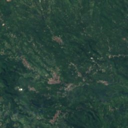
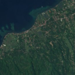
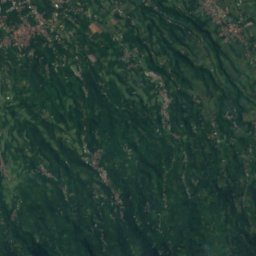
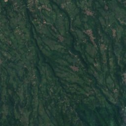
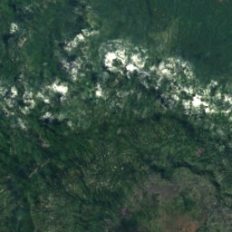
Satellit: Sentinel-2 cloudless 2016 by EOX IT Services GmbH · CC BY 4.0 · Contains modified Copernicus Sentinel data 2016
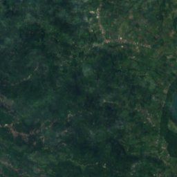
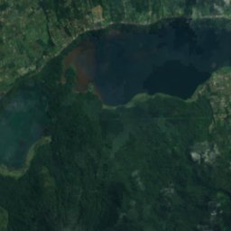
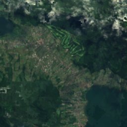
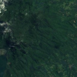
Satellit: Sentinel-2 cloudless 2016 by EOX IT Services GmbH · CC BY 4.0 · Contains modified Copernicus Sentinel data 2016
Gipfel in der NäheBerge in Indonesien

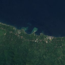
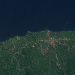
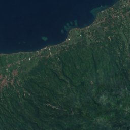
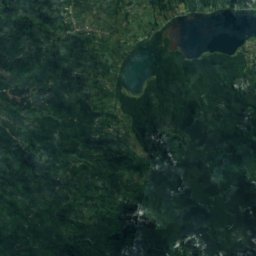
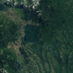
Satellit: Sentinel-2 cloudless 2016 by EOX IT Services GmbH · CC BY 4.0 · Contains modified Copernicus Sentinel data 2016

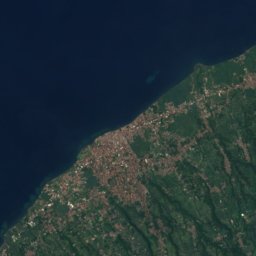
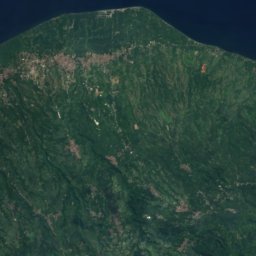
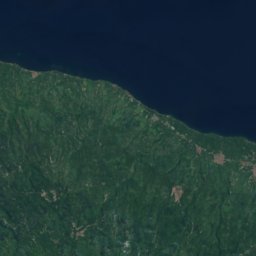
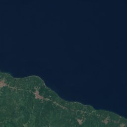
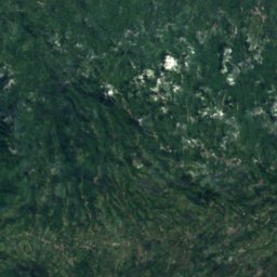
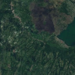
Satellit: Sentinel-2 cloudless 2016 by EOX IT Services GmbH · CC BY 4.0 · Contains modified Copernicus Sentinel data 2016
Satellit: Sentinel-2 cloudless 2016 by EOX IT Services GmbH · CC BY 4.0 · Contains modified Copernicus Sentinel data 2016
Übernachten
Orte ganz in der Nähe






Satellit: Sentinel-2 cloudless 2016 by EOX IT Services GmbH · CC BY 4.0 · Contains modified Copernicus Sentinel data 2016
Gitgit
Bali · 0,4 km NO
29°max. Okt.
15Regentage
49Score


Satellit: Sentinel-2 cloudless 2016 by EOX IT Services GmbH · CC BY 4.0 · Contains modified Copernicus Sentinel data 2016
Munduk
Bali · 11 km SW
26°max. Okt.
15Regentage
59Score

In der Umgebung
Gitgit und Umgebung
Natur

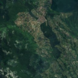
Satellit: Sentinel-2 cloudless 2016 by EOX IT Services GmbH · CC BY 4.0 · Contains modified Copernicus Sentinel data 2016
Bratan-See
See · 1.230 m
Berge
Satellit: Sentinel-2 cloudless 2016 by EOX IT Services GmbH · CC BY 4.0 · Contains modified Copernicus Sentinel data 2016
Bukit Batukau
2.276 m

Museen



Satellit: Sentinel-2 cloudless 2016 by EOX IT Services GmbH · CC BY 4.0 · Contains modified Copernicus Sentinel data 2016
Museum Buleleng
2001









Satellit: Sentinel-2 cloudless 2016 by EOX IT Services GmbH · CC BY 4.0 · Contains modified Copernicus Sentinel data 2016