






Zum Inhalt springen
Reiseziele
Wetter & Klima
Natur
Outdoor
Kultur
Veranstaltungen
Himmel & live
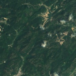
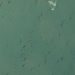
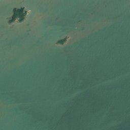
Satellit: Sentinel-2 cloudless 2016 by EOX IT Services GmbH · CC BY 4.0 · Contains modified Copernicus Sentinel data 2016
InselWenling, Zhejiang

Daocaoding

InselAm besten Okt.–Dez.
Höhe–über dem Meer
Fläche–Gesamtfläche
Nächster OrtWenling19 km
28,27° N, 121,54° OUTC+8 · Chinesische Normalzeit
ReisezeitWenling · Wetterwertung
Jan.Feb.MärzApr.MaiJuniJuliAug.Sep.Okt.Nov.Dez.72Oktober
Beste ZeitOkt.–Dez.
Oktober: Max. / Min.24° / 17°
Insel

Daocaoding in Kürze

Daocaoding ist eine Insel in Wenling, Zhejiang, China.

Der nächste Ort ist Wenling, 19 km nordwestlich; dort ist das Wetter im Oktober, November und Dezember am besten.

Wenling: Wetter und Reiseklima

Wetter in der Nähe

Vorhersage für Wenling
21°
Regen – jetzt
Wind22 km/h
Luftfeuchte95 %
Bewölkung100 %
Heute
24. Okt.
24°
21°
48 mm
So
25. Okt.
27°
22°
25 mm
Mo
26. Okt.
26°
21°
24 mm
Di
27. Okt.
24°
19°
Mi
28. Okt.
21°
15°

Modelllauf 12:00 UTCMehrmals täglich aktualisiert

Reisezeit

Die besten Monate rund um Daocaoding

Klima in Wenling

Monats-Score in Wenling

Komfort, trockene Tage und Sonne · von 100
Karte

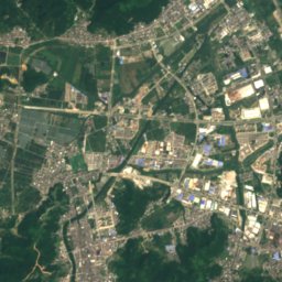
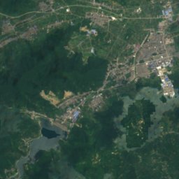
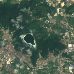
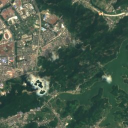
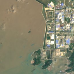
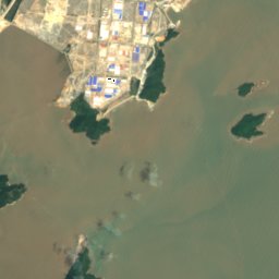
Daocaoding von oben

Natur in der NäheAlles in China
Satellit: Sentinel-2 cloudless 2016 by EOX IT Services GmbH · CC BY 4.0 · Contains modified Copernicus Sentinel data 2016
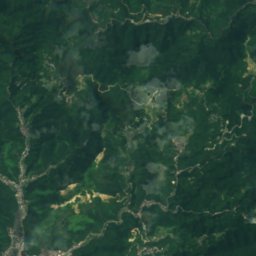
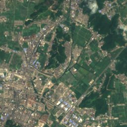
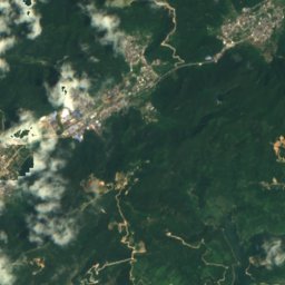
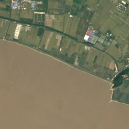
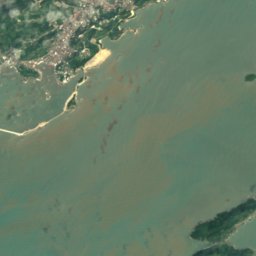
大扁屿Insel1,9 kmNO大扁屿
Satellit: Sentinel-2 cloudless 2016 by EOX IT Services GmbH · CC BY 4.0 · Contains modified Copernicus Sentinel data 2016
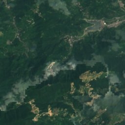
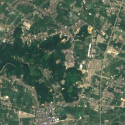
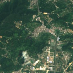
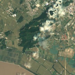
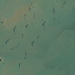
落星山Insel3,5 kmSO落星山
Satellit: Sentinel-2 cloudless 2016 by EOX IT Services GmbH · CC BY 4.0 · Contains modified Copernicus Sentinel data 2016
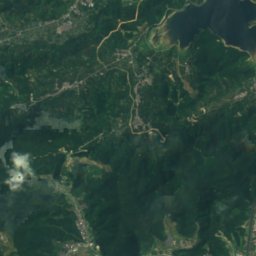
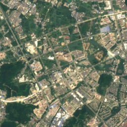
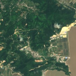
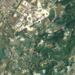
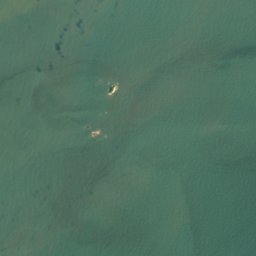
Mizhu ShanInsel3,6 kmNMizhu Shan
Satellit: Sentinel-2 cloudless 2016 by EOX IT Services GmbH · CC BY 4.0 · Contains modified Copernicus Sentinel data 2016
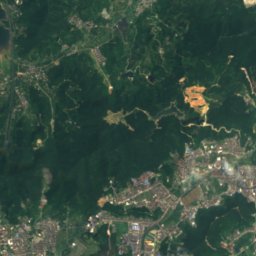
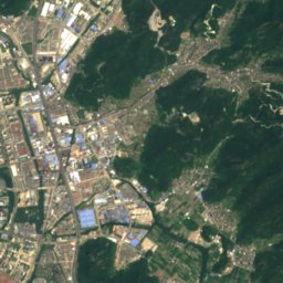
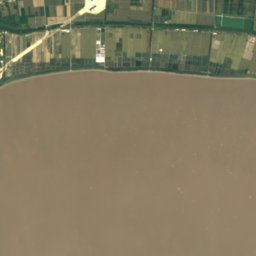
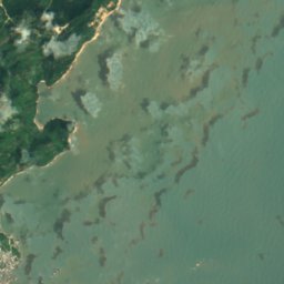
棺材屿Insel6,7 kmSO棺材屿
Satellit: Sentinel-2 cloudless 2016 by EOX IT Services GmbH · CC BY 4.0 · Contains modified Copernicus Sentinel data 2016
渡浦屿Insel8,0 kmNW渡浦屿
Satellit: Sentinel-2 cloudless 2016 by EOX IT Services GmbH · CC BY 4.0 · Contains modified Copernicus Sentinel data 2016
隔海山岛Insel11 kmO隔海山岛
Übernachten

Orte ganz in der Nähe

Wenling
Foto: Gmbsfd · CC BY-SA 4.0 · Wikimedia CommonsFoto melden · verlinkt, nicht gespeichert

Wenling

Zhejiang · 19 km NW
24°max. Okt.
11Regentage
72Score
Wenling
Zhugang
Foto: 江上清风1961 · CC BY 3.0 · Wikimedia CommonsFoto melden · verlinkt, nicht gespeichert

Zhugang

Zhejiang · 34 km SW
23°max. Okt.
11Regentage
72Score
Zhugang
In der Umgebung

Wenling und Umgebung

Wenling
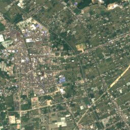
Foto: Gmbsfd · CC BY-SA 4.0 · Wikimedia CommonsFoto melden · verlinkt, nicht gespeichert

Wenling

Zhejiang · China
Okt.–Dez.beste Monate
31°max. im Juli
1 mHöhe
Wenling

Natur

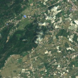
Satellit: Sentinel-2 cloudless 2016 by EOX IT Services GmbH · CC BY 4.0 · Contains modified Copernicus Sentinel data 2016
3,7 km SO

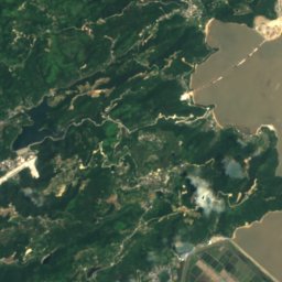
湖漫水库

See
湖漫水库
玉环湖, Zhugang
Foto: Rowingbohe · CC BY-SA 4.0 · Wikimedia CommonsFoto melden · verlinkt, nicht gespeichert
24 km SW

玉环湖, Zhugang

See
玉环湖, Zhugang
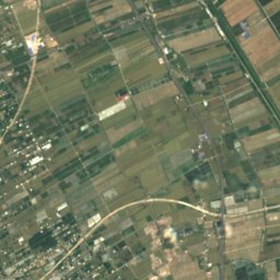
Satellit: Sentinel-2 cloudless 2016 by EOX IT Services GmbH · CC BY 4.0 · Contains modified Copernicus Sentinel data 2016
20 km NW

太湖水库

See
太湖水库

Denkmäler

江厦潮汐电站
Foto: Micromesistius · CC BY-SA 3.0 · Wikimedia CommonsFoto melden · verlinkt, nicht gespeichert
15 km W

江厦潮汐电站

Denkmal der Volksrepublik China
江厦潮汐电站
新河闸桥群
Foto: Siyuwj · CC BY-SA 4.0 · Wikimedia CommonsFoto melden · verlinkt, nicht gespeichert
15 km N

新河闸桥群

Denkmal der Volksrepublik China
新河闸桥群